About this sheet
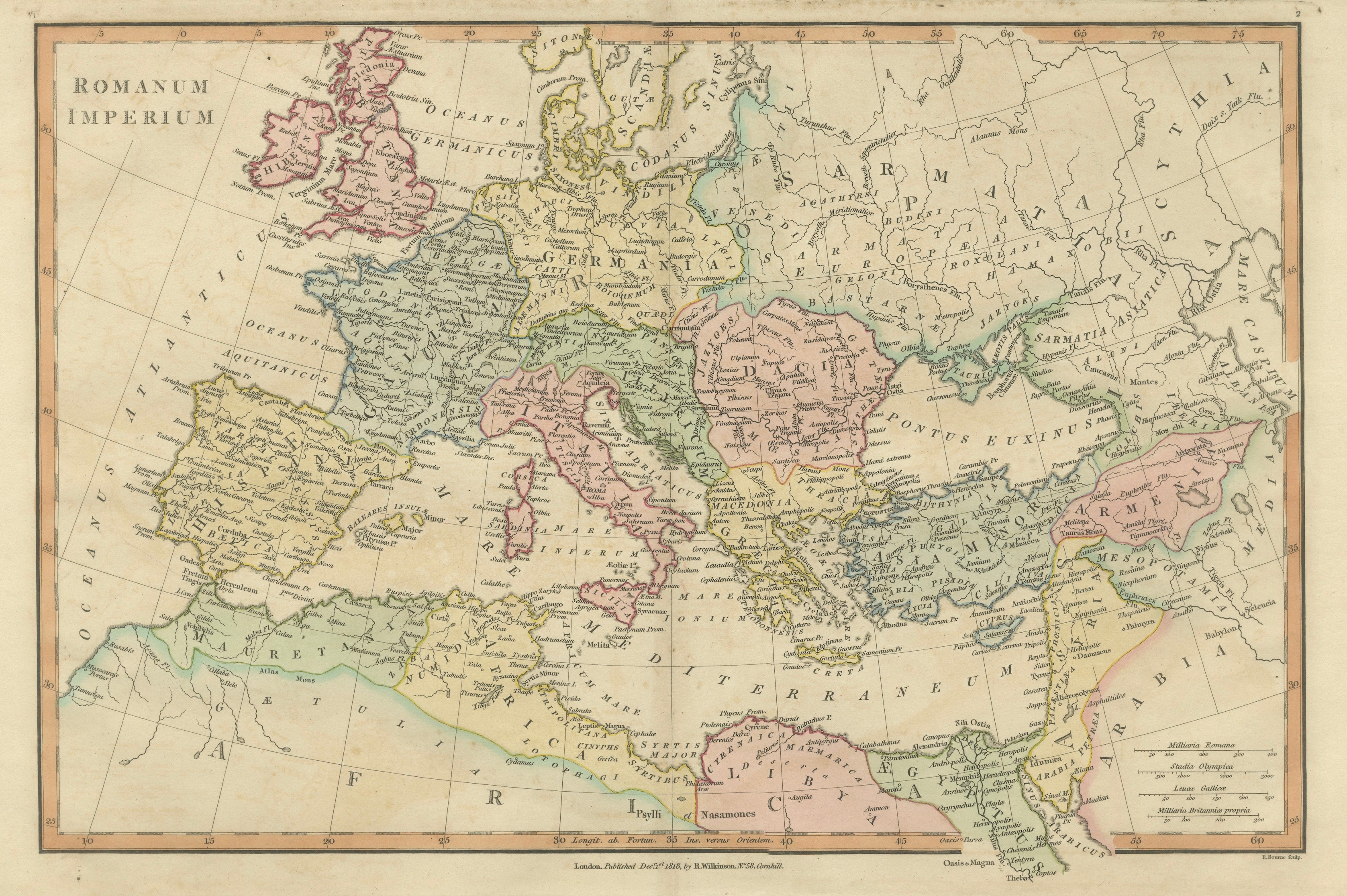
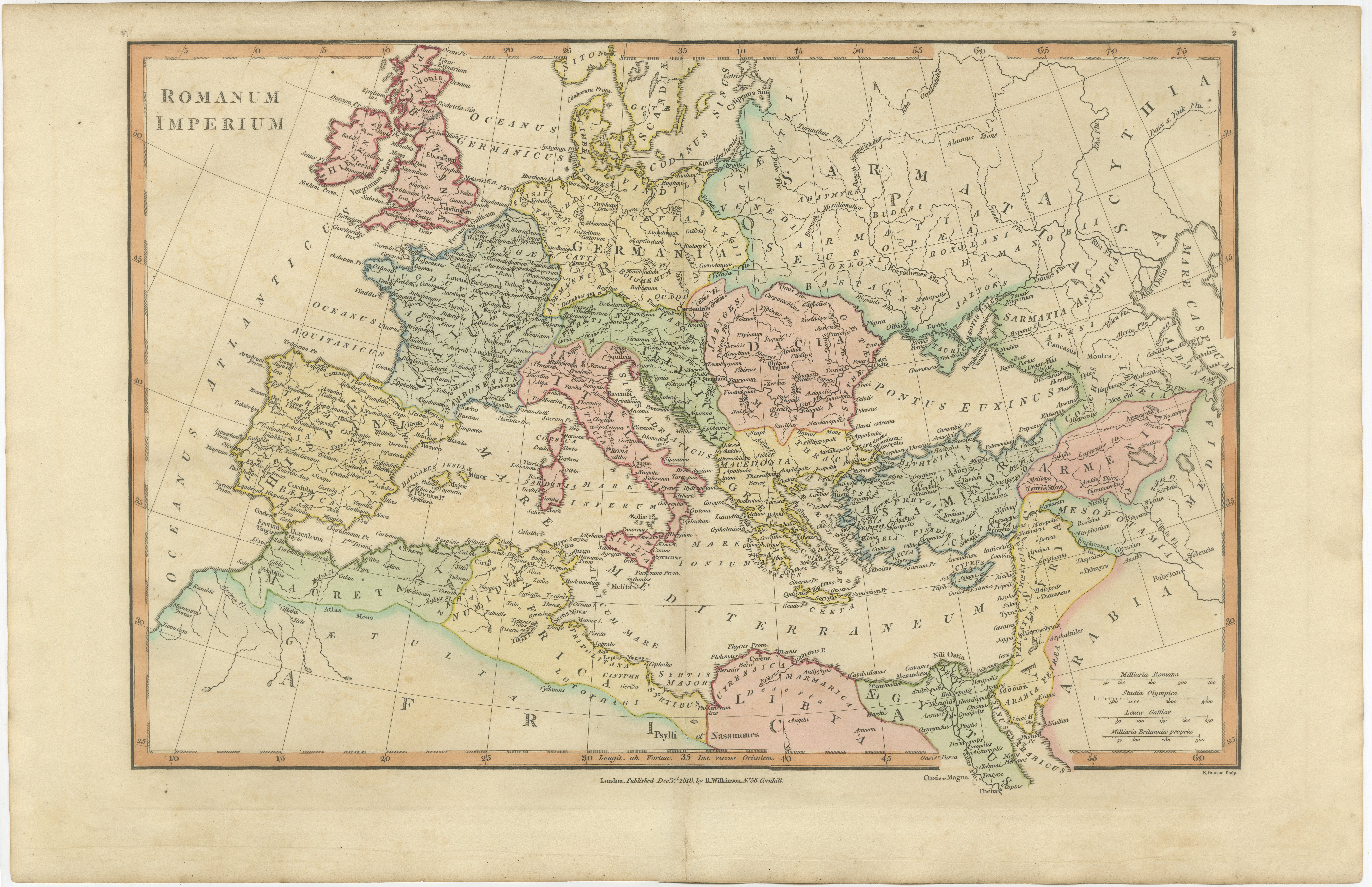
Roman Empire Map, Europe Mediterranean & Near East, Wilkinson London 1817
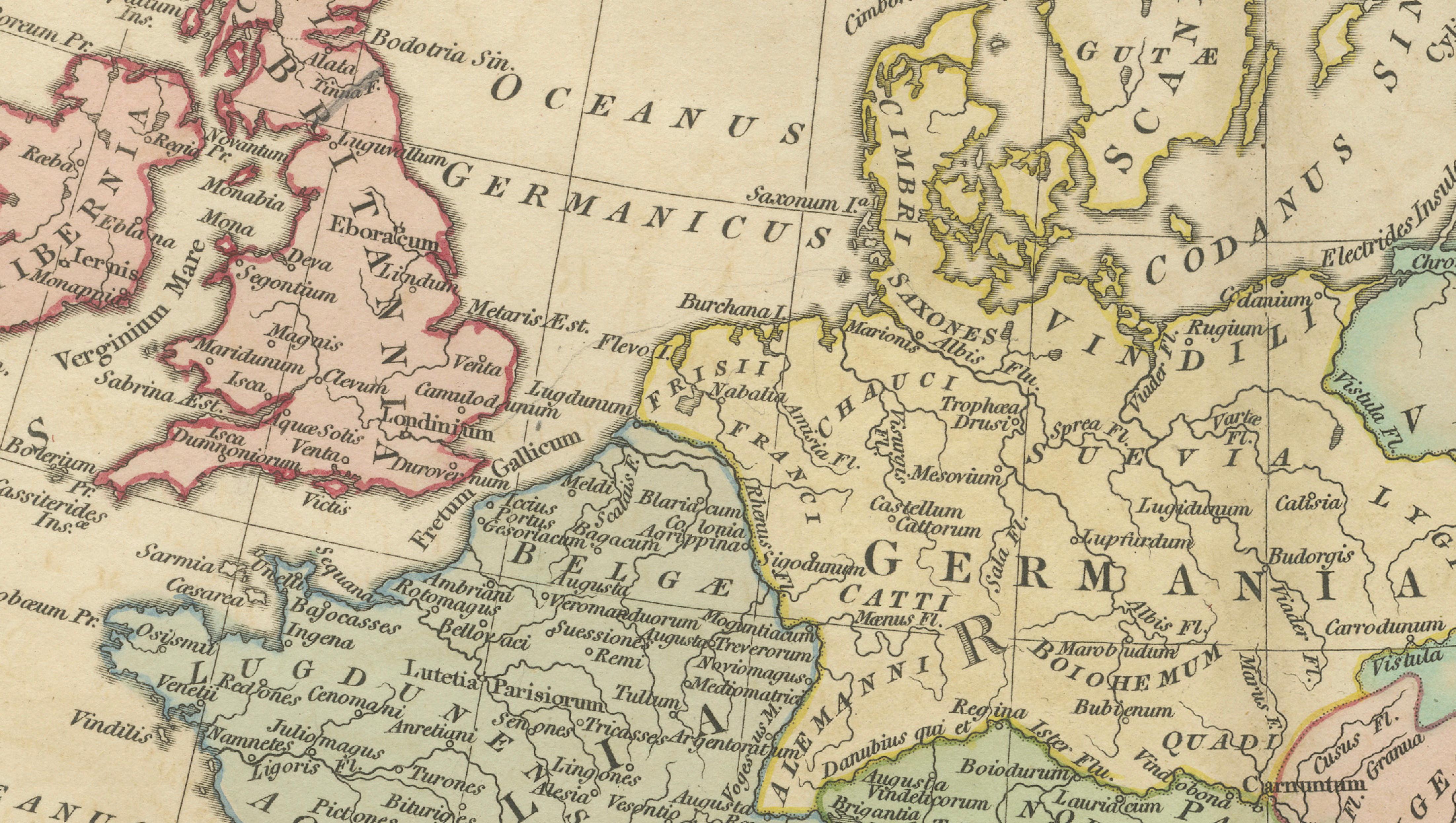
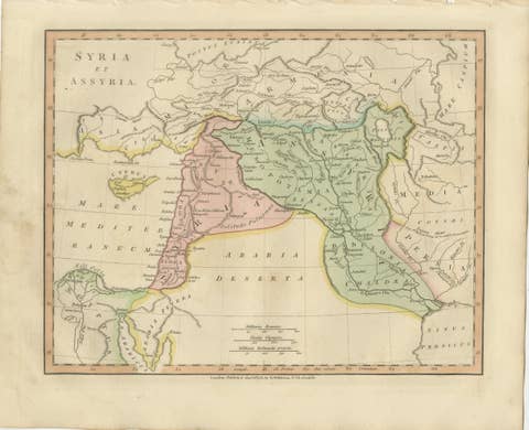
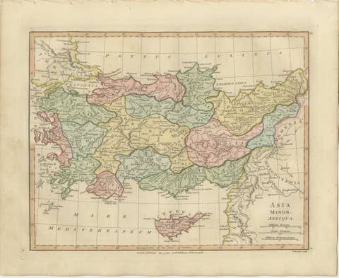
This finely engraved and beautifully hand-colored map presents the vast extent of the Roman Empire at its height, spanning from the British Isles across continental Europe to the Near East and North Africa. Published in London in 1817 by Robert Wilkinson as part of his celebrated Atlas Classica, the map was created to accompany the study of classical history and to visualize the geography of one of the greatest empires of antiquity.
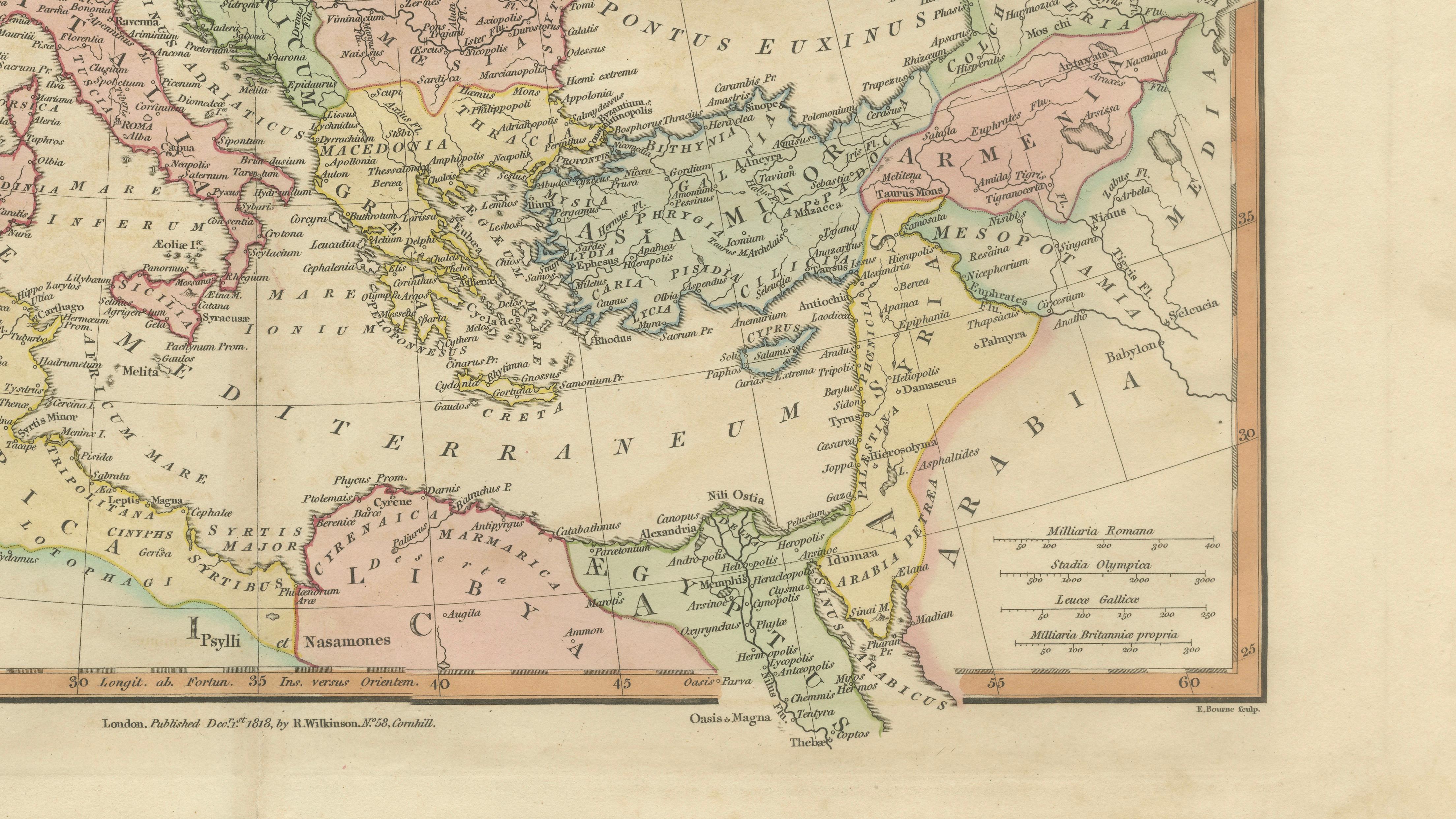
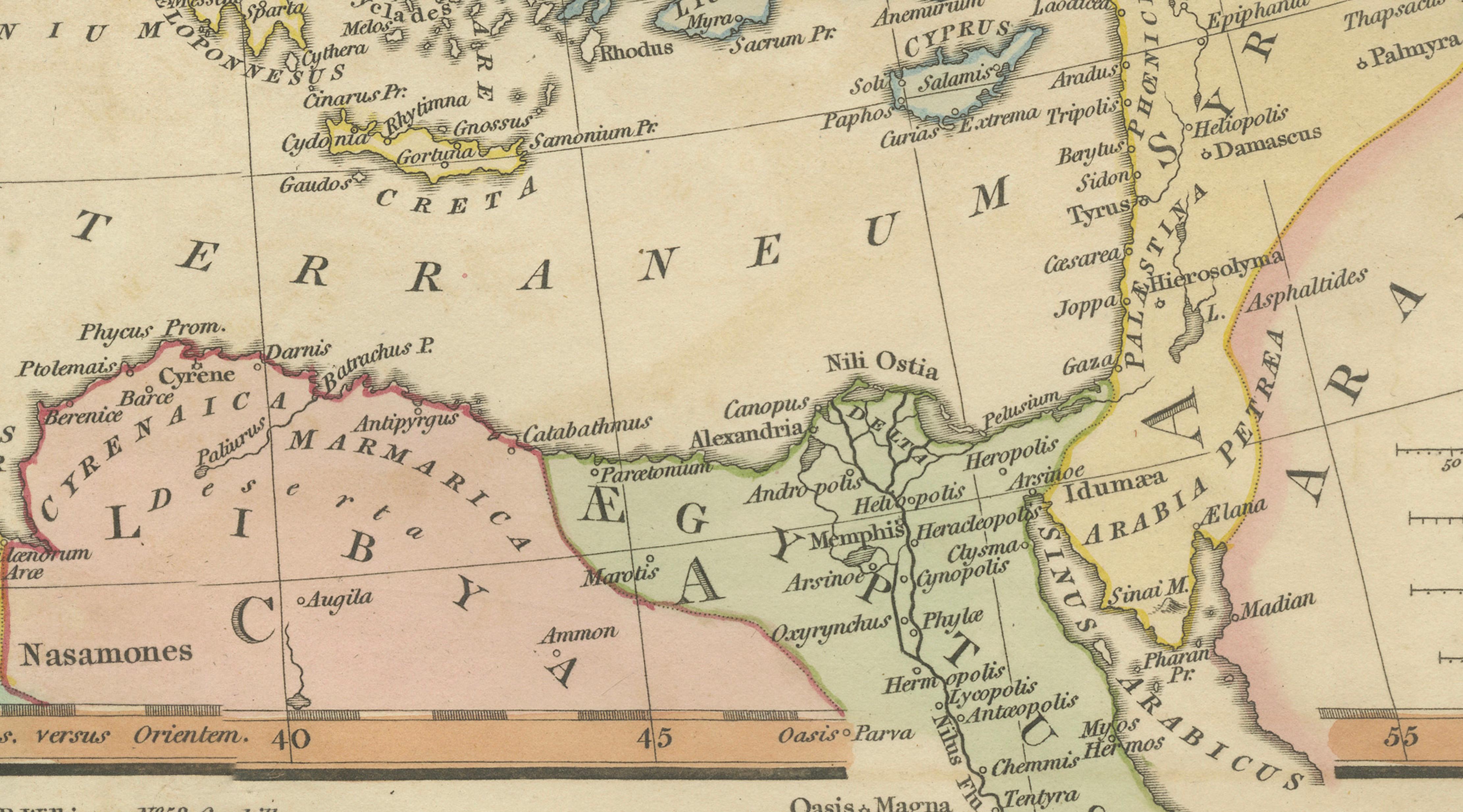
Titled Romanum Imperium, the map offers a sweeping and detailed view of Roman dominion, encompassing Britannia, Hispania, Gallia, Germania, Italia, the Balkans, Greece, Asia Minor, the Levant, and Egypt. The empire’s provincial divisions are carefully delineated and enhanced with soft original hand coloring, allowing the viewer to clearly distinguish regions such as Gaul, Iberia, Dacia, Thrace, Syria, and Aegyptus.
The map is richly populated with ancient cities, roads, rivers, and mountain ranges, providing insight into the infrastructure and organization that underpinned Roman power. Key locations such as Rome, Londinium, Carthage, Alexandria, Antioch, and Constantinople are prominently marked, illustrating the geographic breadth and administrative sophistication of the empire. The Mediterranean Sea (Mare Internum) forms the central axis of the composition, reinforcing its role as the lifeline of Roman trade, communication, and military movement.
Engraved with clarity and precision, the map exemplifies the refined cartographic style of early nineteenth-century British mapmaking. The balanced composition, crisp lettering, and harmonious pastel coloring make it both an important historical document and an elegant decorative piece. It reflects the intellectual climate of the period, when classical antiquity formed a cornerstone of education and cultural identity.
A highly desirable piece for collectors of classical history, Roman antiquity, or decorative antique maps, this map offers a compelling visual summary of the Roman world and makes a strong statement in both traditional and contemporary interiors.
Condition: Very good with original hand color. Light age toning and minor wear consistent with age. Margins well preserved. Central fold as issued. Plate mark visible.
Framing tips: Particularly effective in a dark walnut or ebonized frame with a generous ivory or warm off-white mat. Ideal for a study, library, or refined interior; works beautifully as a centerpiece map.
This is an original 19th-century engraving, not a reproduction. All items we offer are authentic period works of art over 100 years old. The map is sold unframed; any framed images are shown for presentation and interior inspiration only.
Keywords: Roman Empire map, Romanum Imperium, ancient Rome map, classical antiquity map, Europe antique map, Mediterranean map, Britannia Hispania Gallia Italia, Germania Dacia map, Greece Asia Minor map, Levant Egypt map, Carthage Alexandria Rome Londinium, ancient provinces map, classical geography, Atlas Classica, Robert Wilkinson map, 1817 antique map, copperplate engraving, hand colored map, British atlas engraving, London published map, early 19th century map, decorative antique map, scholarly atlas, collectors map, interior wall art, neoclassical decor, museum quality map
Technique: Copperplate engraving with original hand color
Maker: Robert Wilkinson, London, 1817 (engraved by E. Bourne)