Maps & PrintsBartele Gallery · Langweer
Home / Antique Maps / Europe / Western Europe / France

France · 19th century

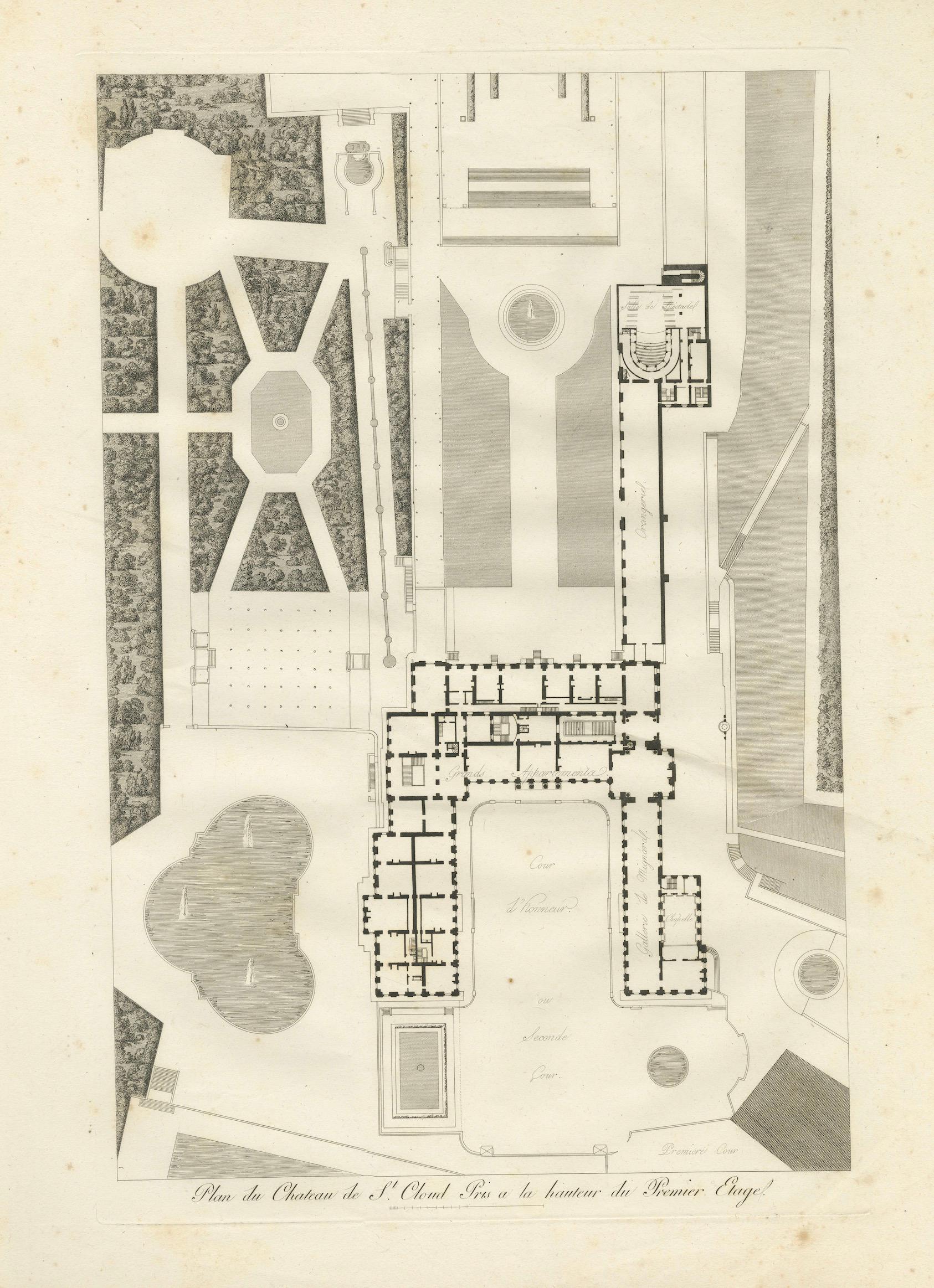
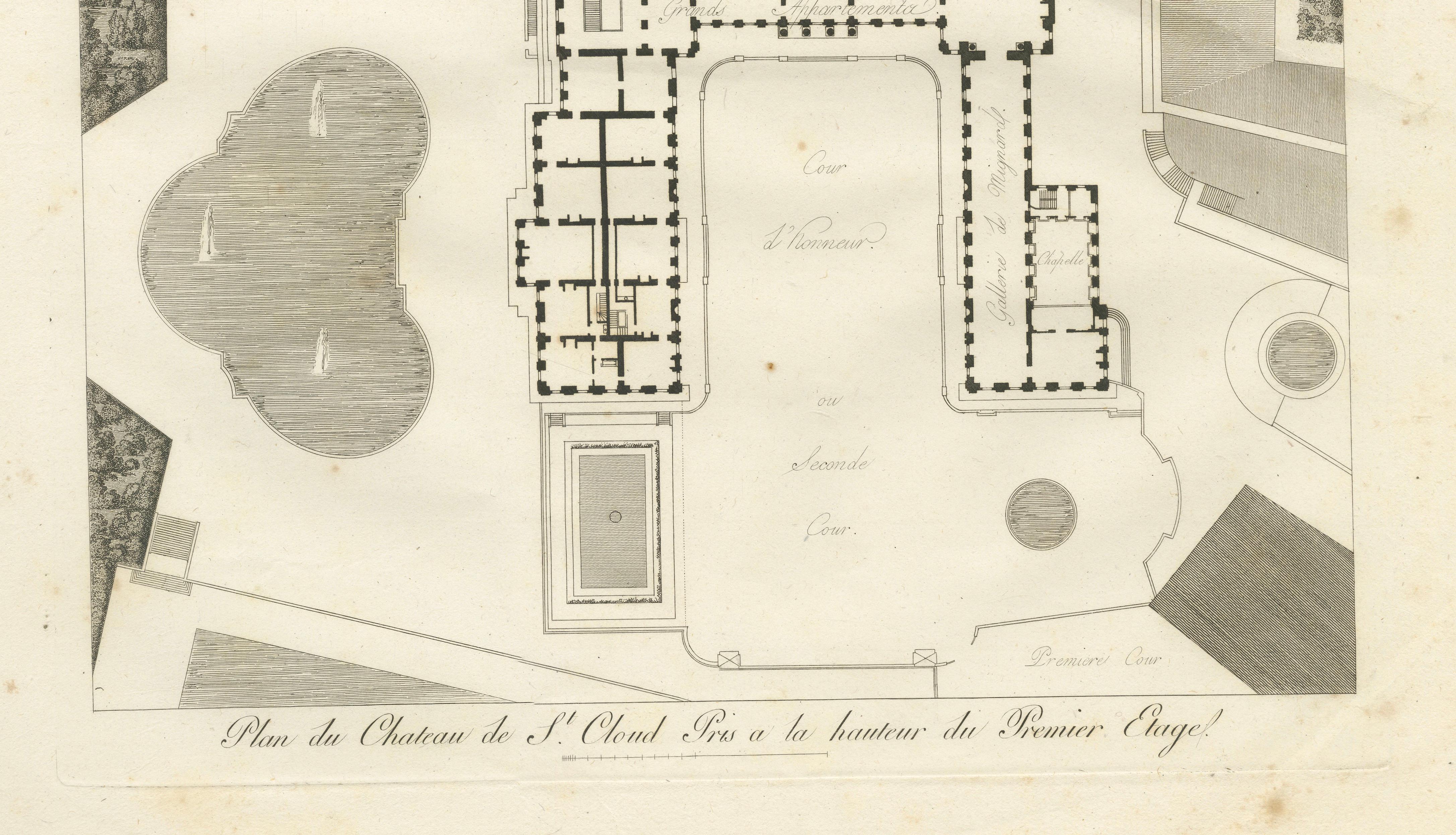
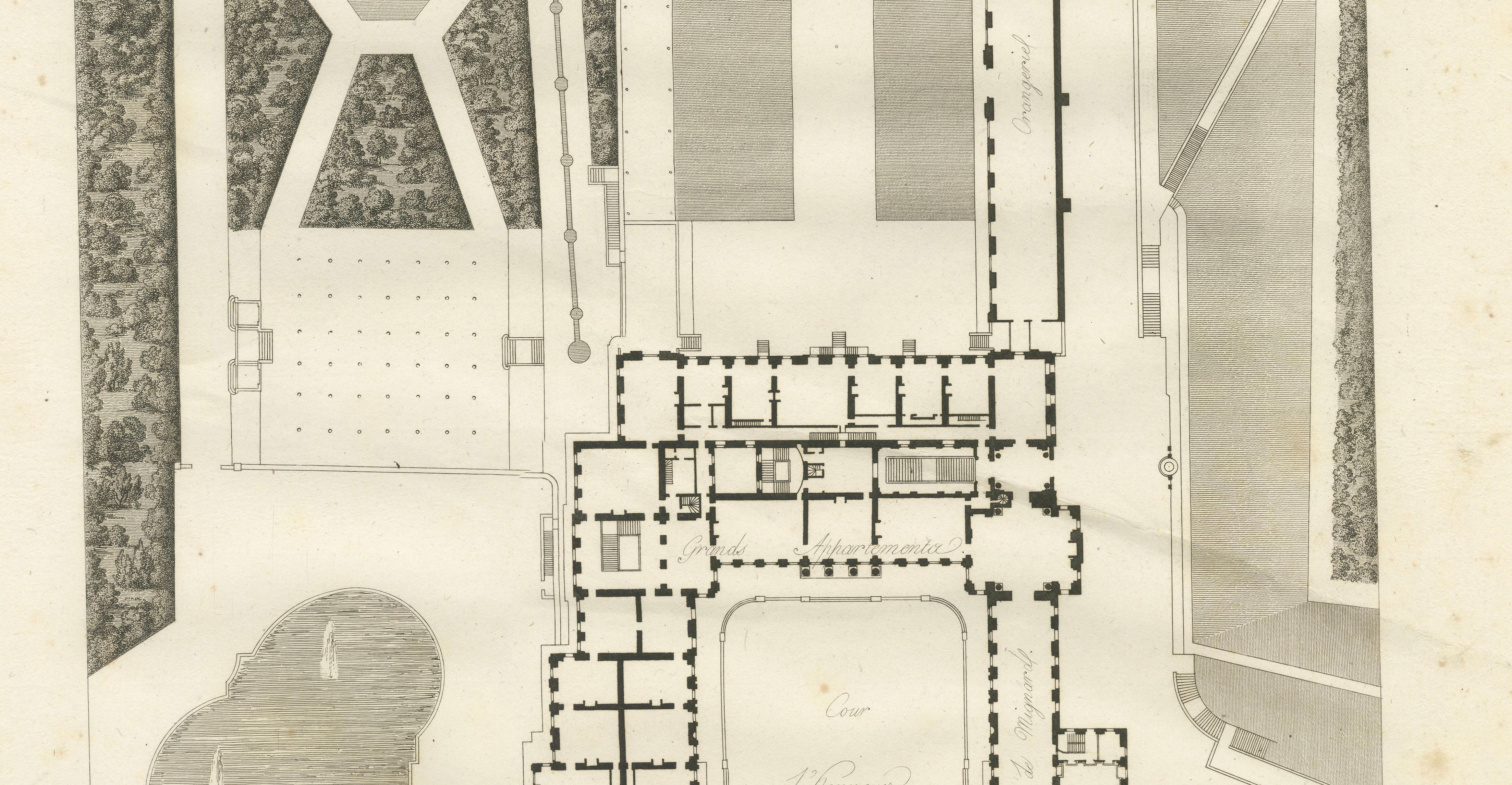
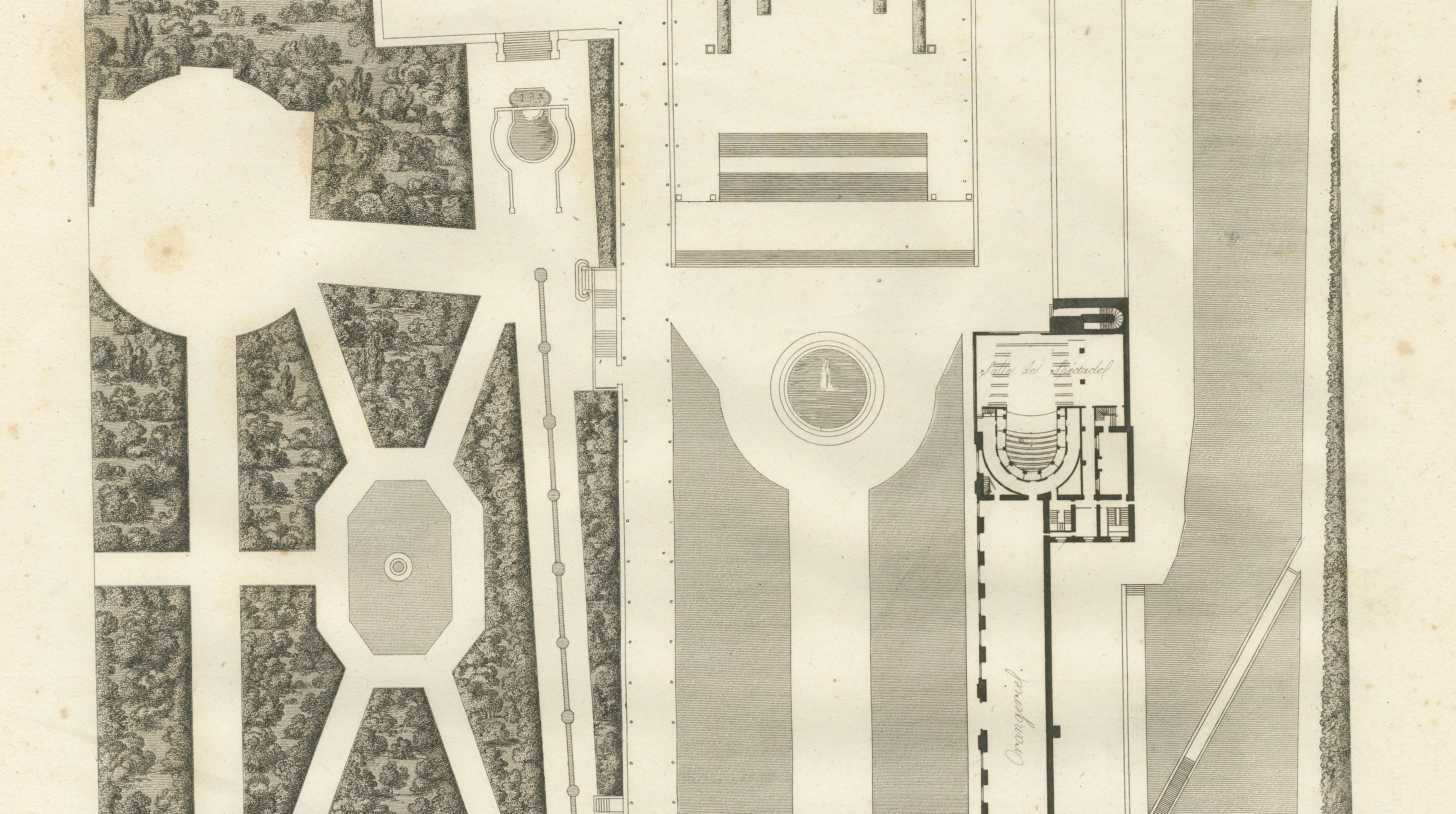
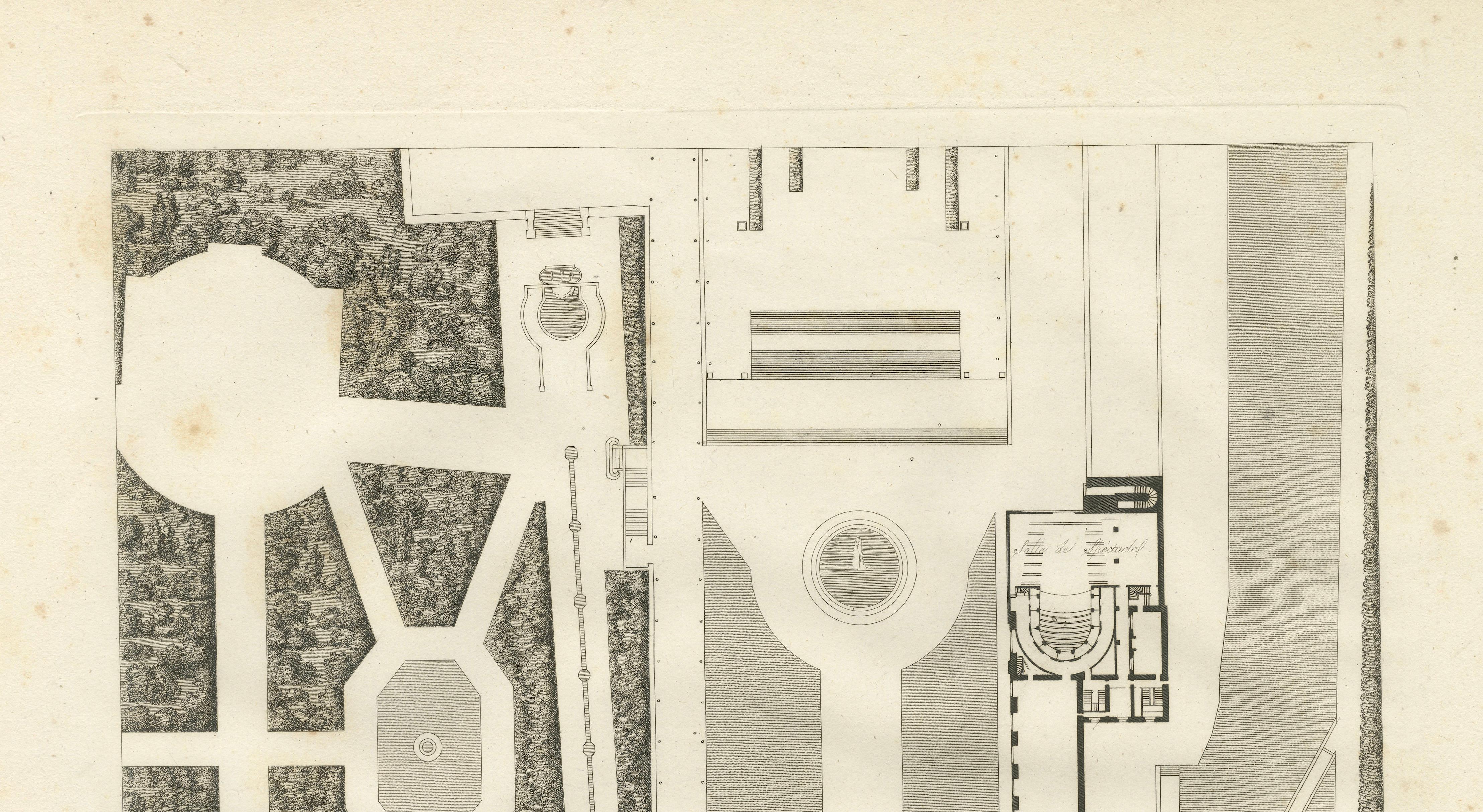
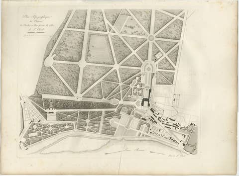
Plan of the Château de Saint-Cloud First Floor by Baltard, Paris, 1803

€ 525

Original antique · The actual sheet photographed · Certificate of authenticity on request · Sold unframed · Worldwide shipping from € 15 (rates)

Date
1803
Mapmaker / artist
Louis-Pierre Baltard
Publisher
Paris
Technique
Original copperplate engraving on laid paper
Sheet size
62.6 × 46.7 cm (24.6 × 18.4 in)
Condition
Fair
Reference
BG-14258-73
What the condition grades mean
Excellent
Bright and clean, with no faults worth mentioning.
Very good
Only light signs of age, such as faint toning.
Good
Normal signs of age for a sheet of this period: toning, some foxing, small marks or neat old repairs.
Fair
Clear faults such as staining, tears or repairs, priced to match.

Every fault we see is written in the condition note, and the whole sheet is shown uncropped in the photos.

Condition

Fair to good antique condition with age-related toning, scattered foxing, and light wear consistent with age. On elong tear professionally repaired. Please examine the photographs carefully.
About this sheet

This finely executed original antique copperplate engraving presents a detailed architectural floor plan of the first floor of the Château de Saint-Cloud, one of France's most celebrated royal residences. The plan meticulously illustrates the palace's internal layout, grand courtyards, formal gardens, fountains, terraces, and surrounding landscape, offering a fascinating insight into the organization of the royal estate during the Napoleonic period.

The Château de Saint-Cloud was a favored residence of the French monarchy and later of Napoleon Bonaparte. Overlooking the River Seine, it was renowned for its magnificent architecture and formal gardens, making it one of the grandest royal palaces in France before its destruction during the Franco-Prussian War in 1870.

The engraving was created by the distinguished French architect and engraver Louis-Pierre Baltard (1764–1846) and published in Paris in 1803 as part of the celebrated Napoleonic-era publication Paris et ses Monuments, mesurés, dessinés et gravés. This monumental work documented France's most important monuments with exceptional architectural precision and artistic refinement.

Both historically important and visually appealing, this engraving is an excellent acquisition for collectors of antique architectural plans, French royal history, architectural engravings, and decorative works on paper.

This is an original antique engraving printed in 1803 and not a later reproduction. It is offered unframed. Any framed images are shown for presentation purposes only.

Year:
1803

Condition:
Fair to good antique condition with age-related toning, scattered foxing, and light wear consistent with age. On elong tear professionally repaired. Please examine the photographs carefully.
Materials:
Paper, black ink

Style:
Neoclassical, Architectural, Cartographic

Subject:
First-floor plan of the Château de Saint-Cloud

More from France

Ask about this sheet

Plan of the Château de Saint-Cloud First Floor by Baltard, Paris, 1803
1803 · Ref. BG-14258-73 · € 525
We reply by email, usually within one working day.

Your favorites

Saved in this browser. Email the list to yourself to keep it on any device.

We use your email to send this list and, only if you tick the box and confirm, for occasional new arrivals. Every email has an unsubscribe link. Bartele Gallery, the Netherlands.