About this sheet
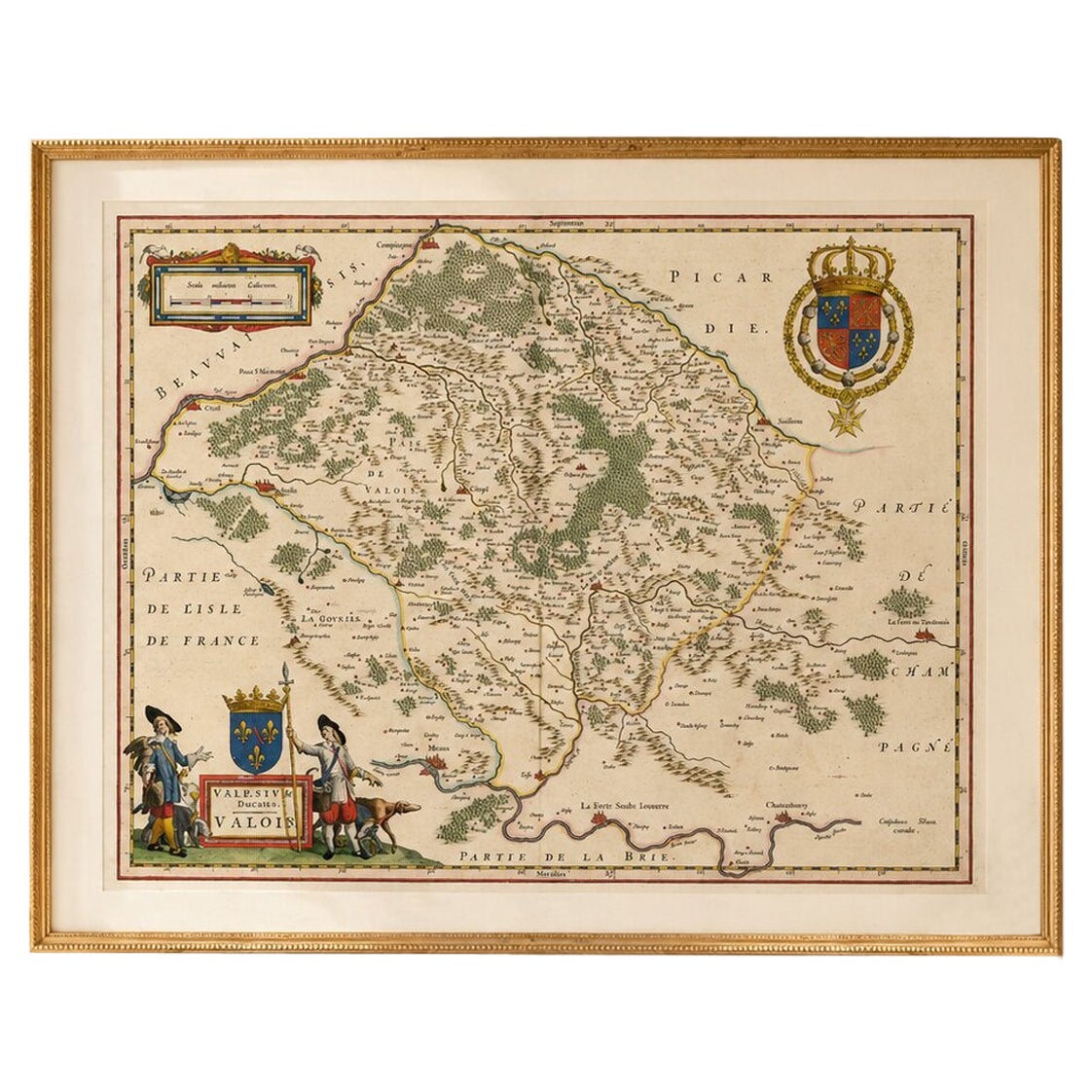
Antique Map of Valois, Picardy France – Blaeu Hand Colored c.1642
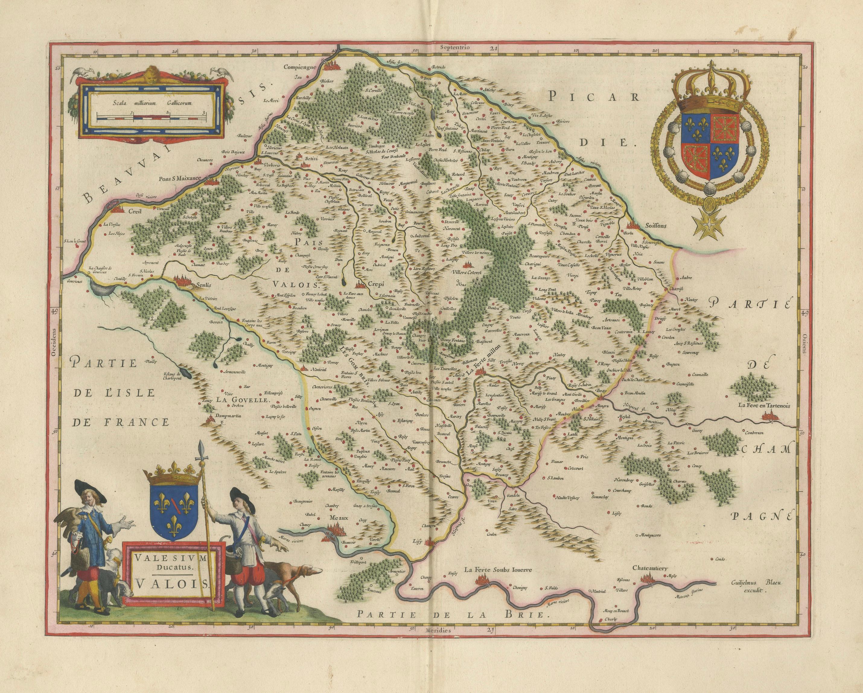
A highly decorative and historically significant 17th-century map depicting the Duchy of Valois in northern France, engraved and published by Willem Janszoon Blaeu circa 1642. This finely hand-colored copperplate engraving originates from Blaeu’s celebrated atlas Toonneel des Aerdrycx, one of the most important cartographic works of the Dutch Golden Age.
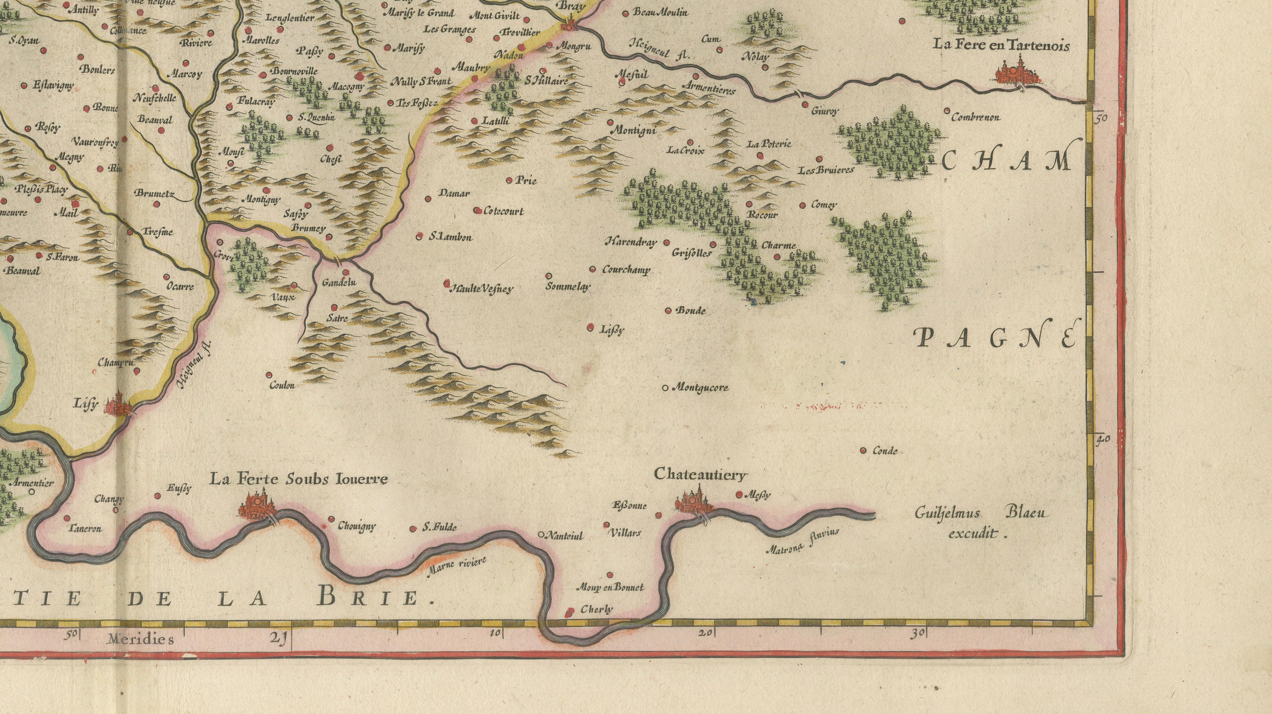
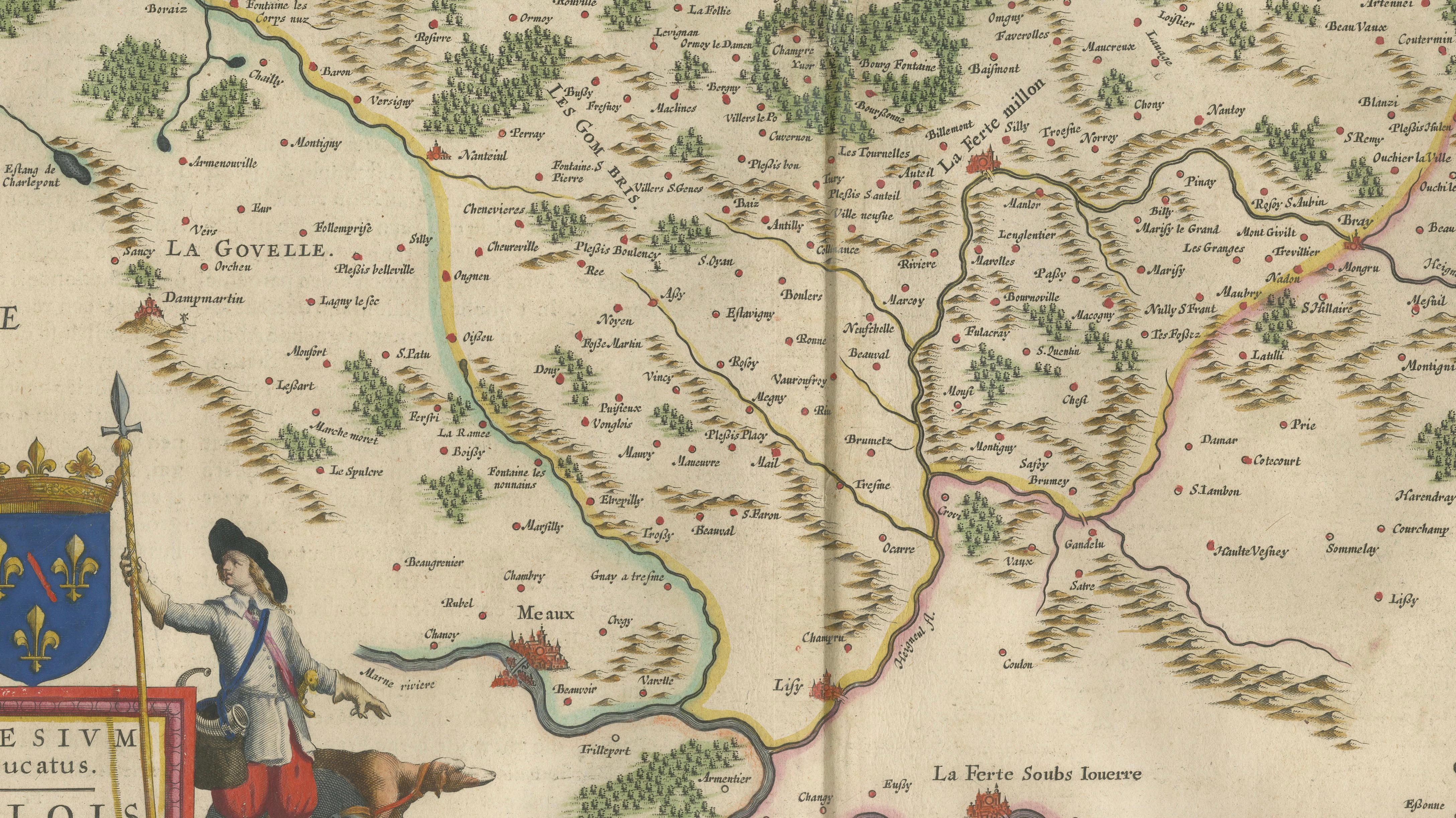
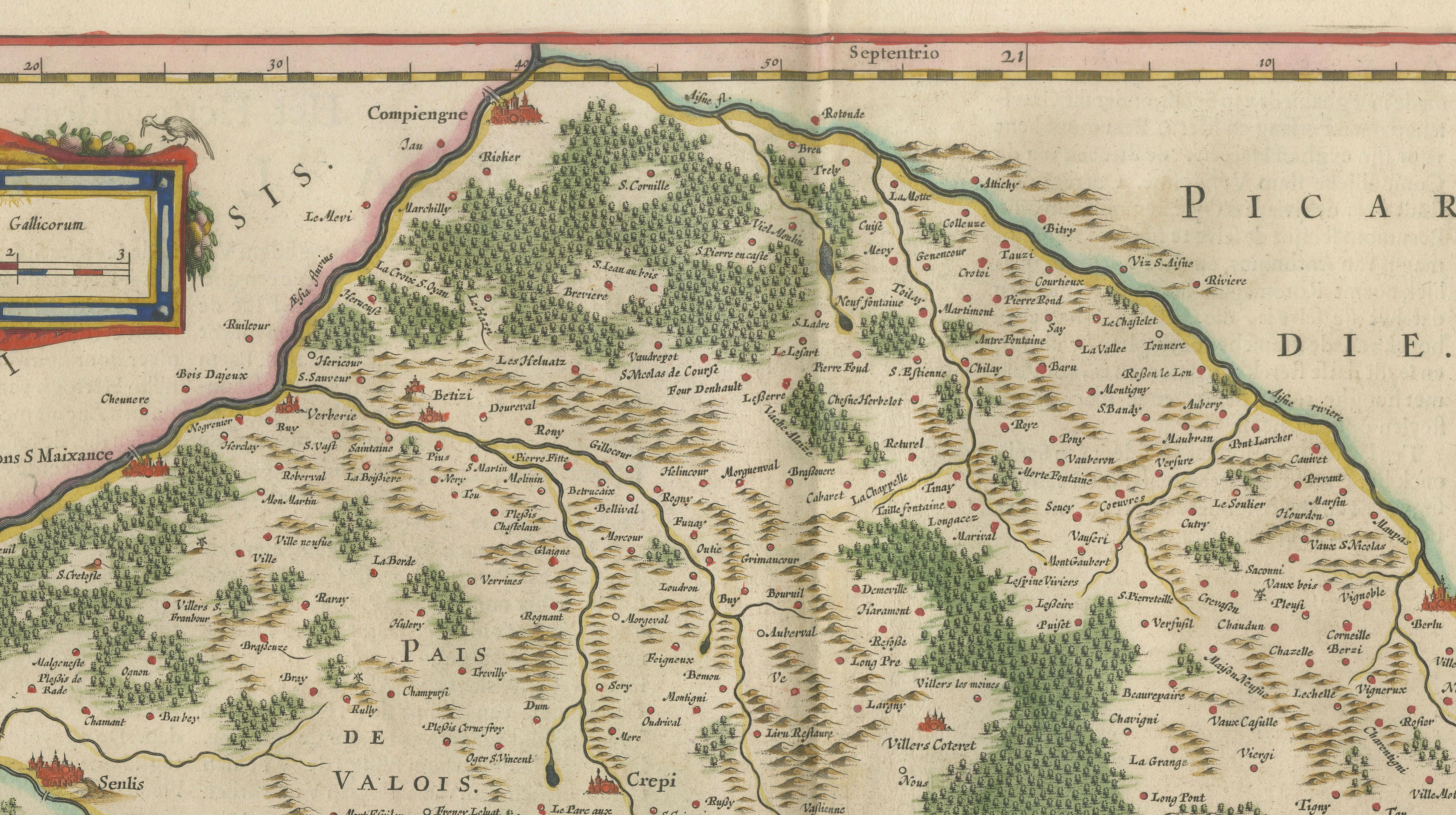
The map illustrates the historic region of Valois, situated just north-east of Paris, encompassing parts of modern Picardy and Île-de-France. Important towns such as Compiègne, Senlis, Crépy-en-Valois, and surrounding villages are carefully plotted, while rivers, wooded areas, and rolling terrain are rendered with Blaeu’s characteristic precision and elegance. The dense clusters of trees evoke the once-extensive royal hunting forests of the region, long associated with French nobility.
Beyond its political and geographic importance, the Valois region has long been known for its fertile lands and agricultural richness. While not as globally famous as neighboring Champagne or Burgundy, Valois forms part of the broader Île-de-France and Picardy belt historically referred to as the “breadbasket of France,” producing grains, fruits, and dairy products that supplied Paris for centuries. Orchards, particularly apple cultivation for cider, and traditional cheeses from northern France add to the region’s quiet but enduring gastronomic identity. Its proximity to Champagne also places it within a cultural landscape deeply tied to French wine heritage, even if it is not itself a primary wine-producing appellation. Unlike regions with strong branding, Valois does not carry a widely used nickname today, but historically it was closely associated with the French royal domain and gave its name to the Valois dynasty of kings.
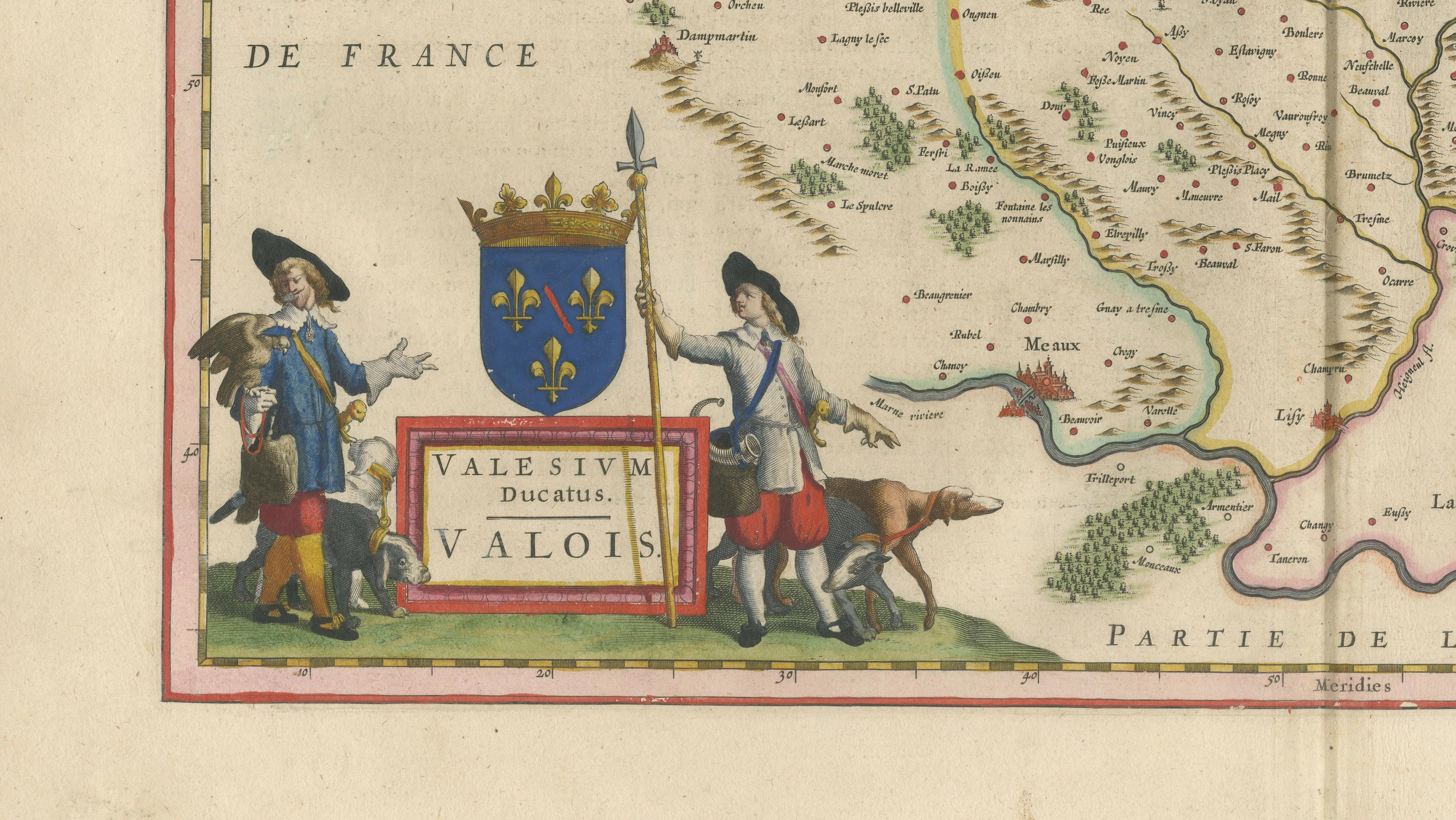
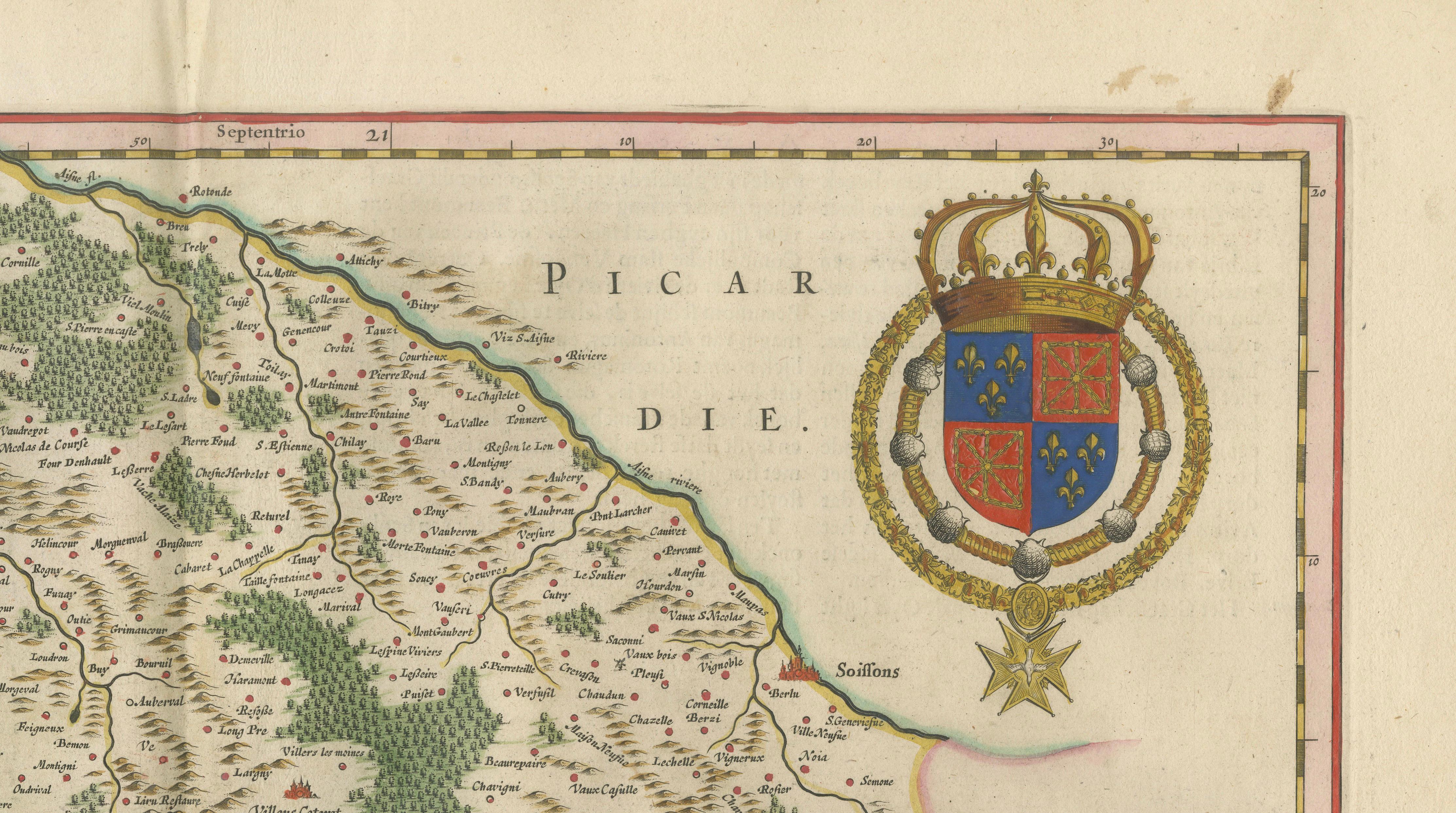
The map is richly embellished with decorative elements typical of Blaeu’s work. In the lower left, an elaborate title cartouche (“Valesium Ducatus Valois”) is flanked by two finely dressed figures in 17th-century costume, accompanied by a hunting dog—an elegant reference to aristocratic life and the region’s famed hunting culture. A prominent coat of arms appears in the upper right, while a beautifully colored scale cartouche balances the composition in the upper left.
This example is particularly attractive for its original hand coloring, strong impression, and balanced composition. Blaeu maps of French provinces with such decorative detail are highly sought after by collectors and interior designers alike.
A refined and historically resonant piece, ideal for collectors of early French cartography or as a sophisticated decorative focal point in a study, library, or elegant interior.
Condition report:
Good condition overall. Original centerfold as issued. Light age toning and minor discoloration to the margins, with some faint handling marks. Colors remain vibrant. Plate mark visible.
Framing tips:
This map displays beautifully in a dark walnut or ebonized frame with a wide ivory or cream mat to enhance the warmth of the original hand coloring. For a lighter, more contemporary interior, a thin black or bronze frame with an off-white mat creates a crisp and elegant presentation.
Special note: This is an original 17th-century map, not a reproduction. All items we offer are authentic period works of art over 100 years old. The map is sold unframed; any framed images are shown for presentation and interior inspiration only and may not always be to scale.
Technique: Copperplate engraving with original hand coloring
Maker: Willem Janszoon Blaeu, Amsterdam, circa 1642