About this sheet
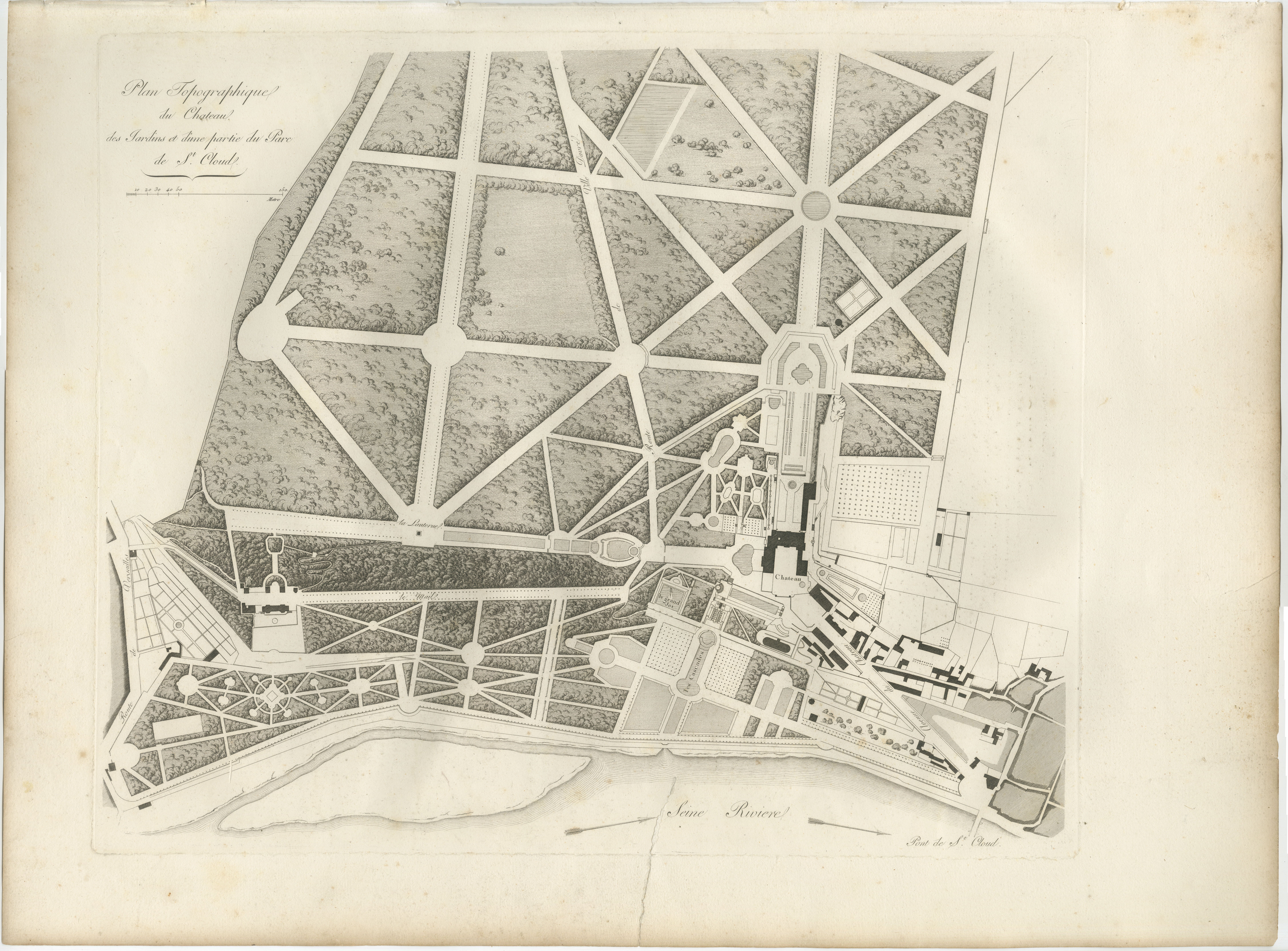
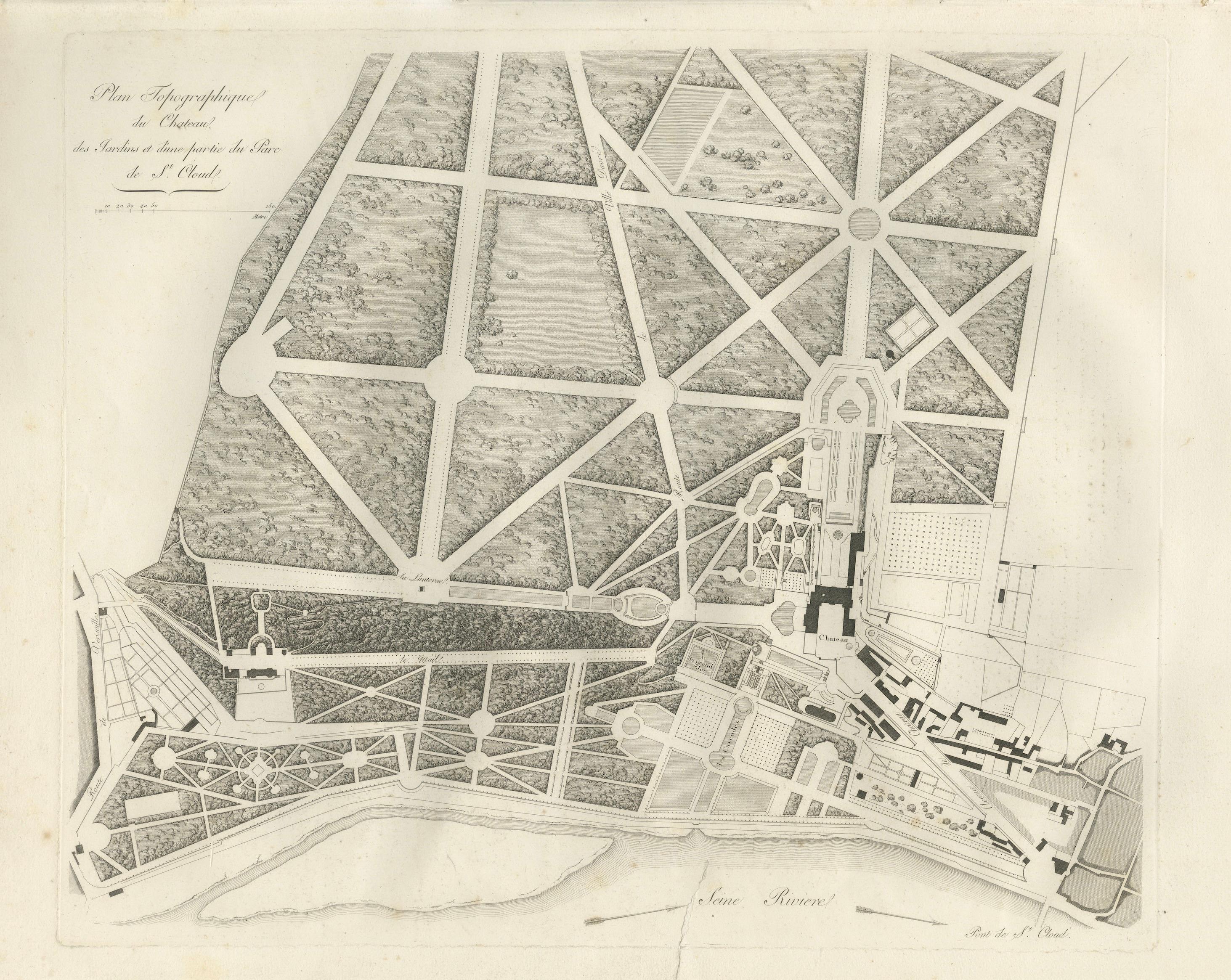
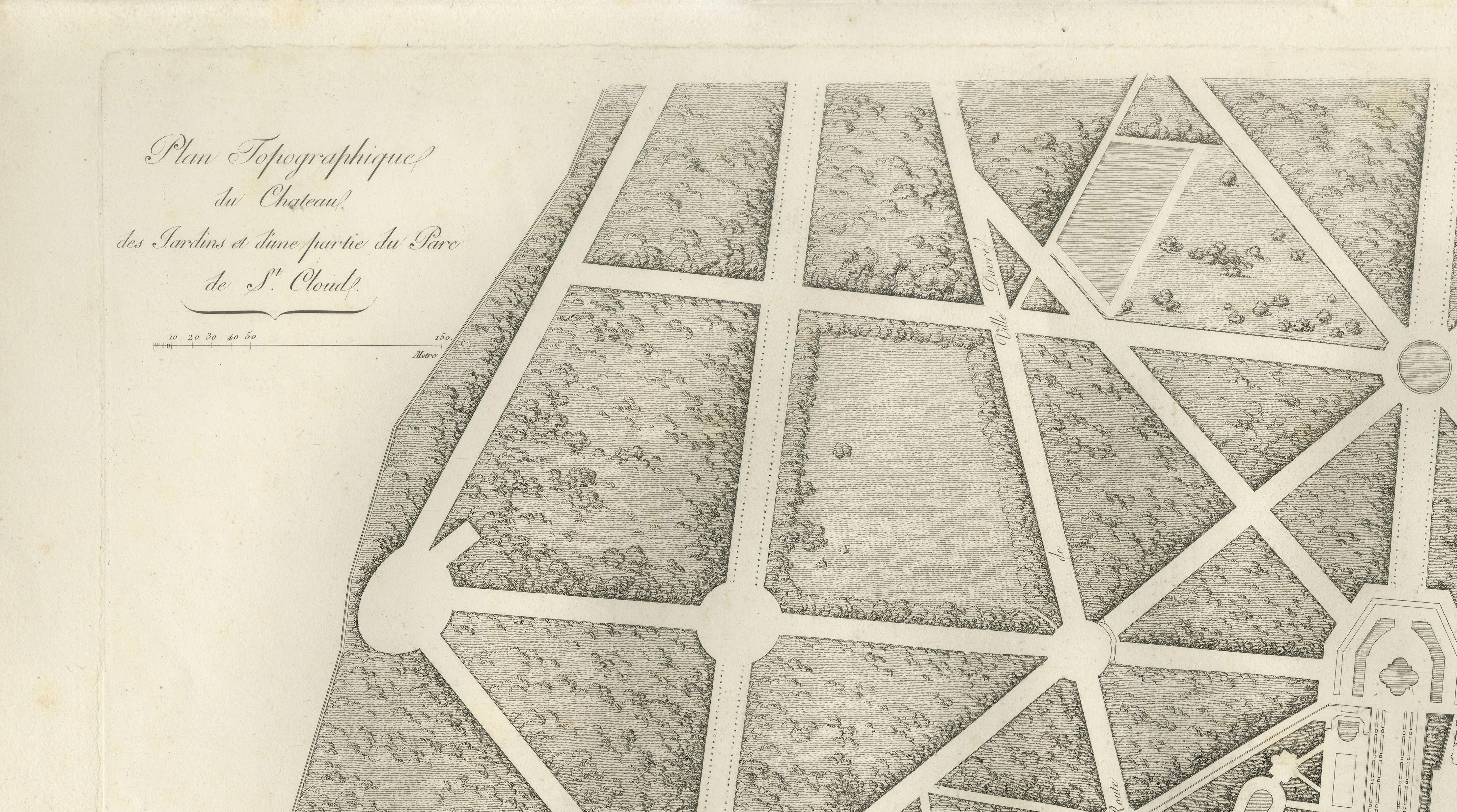
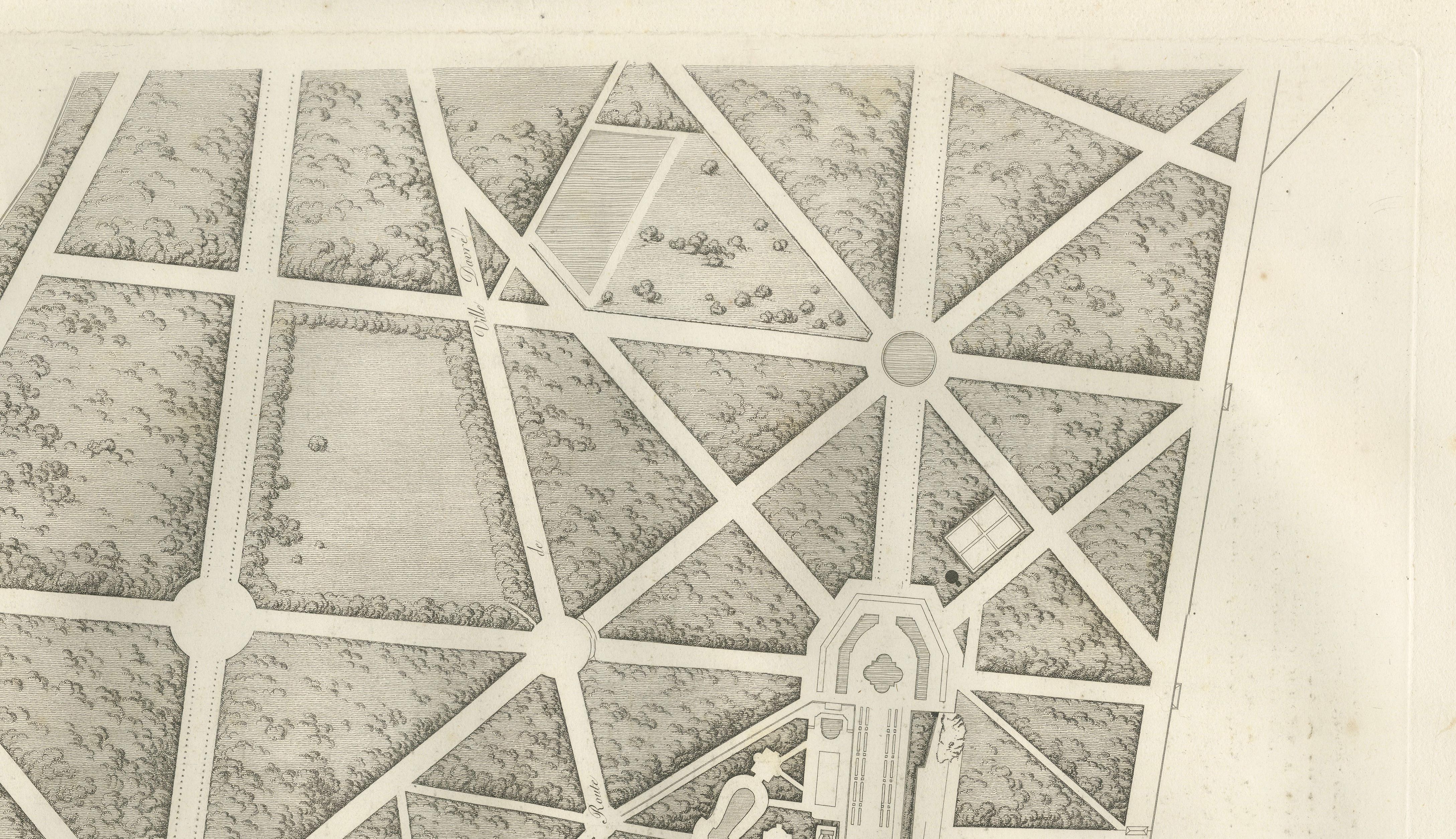
Plan of the Château and Gardens of Saint-Cloud by Baltard, Paris, 1803
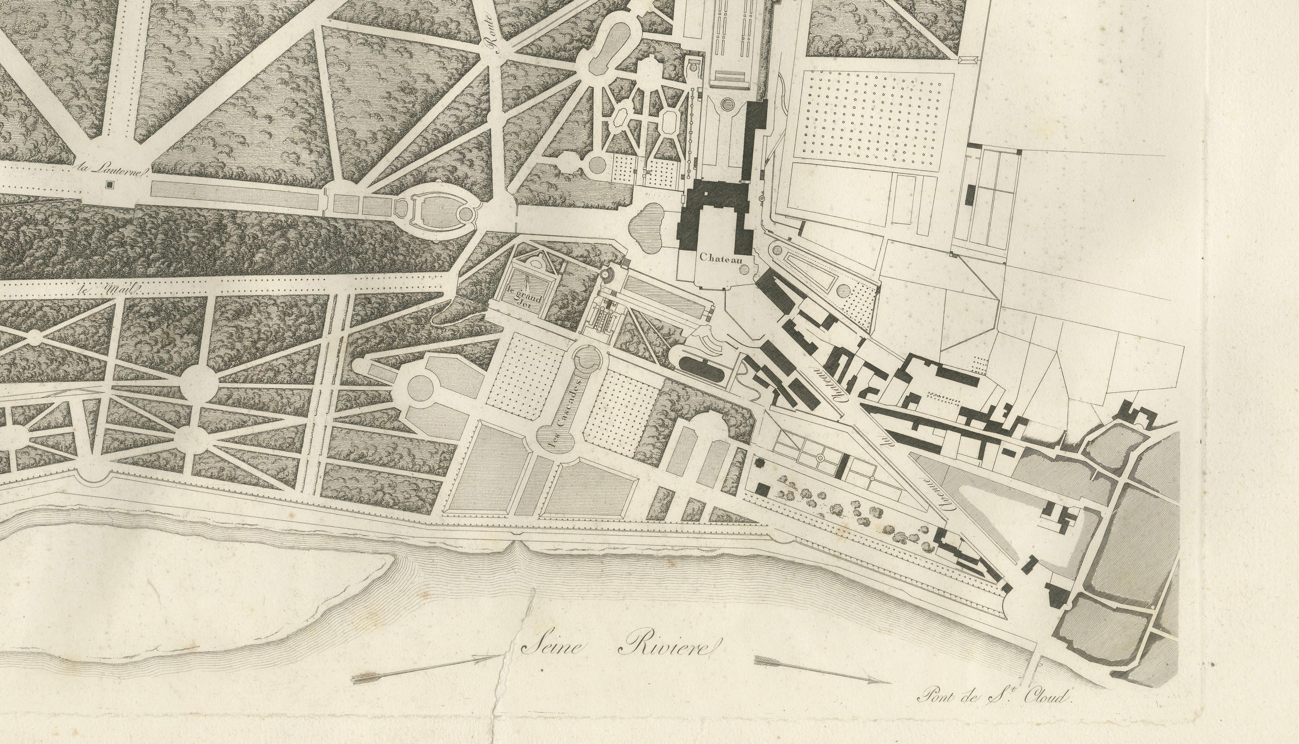
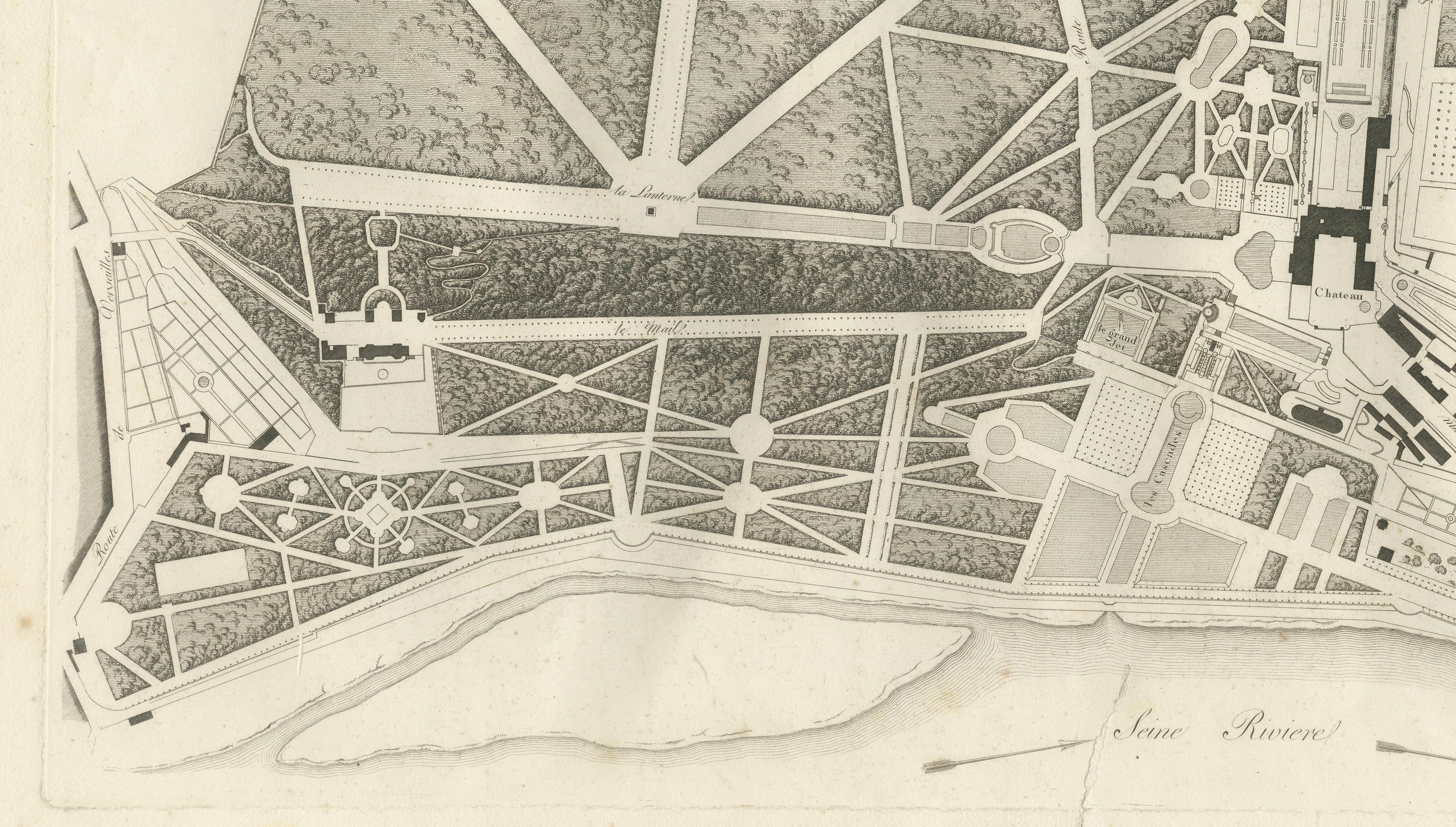
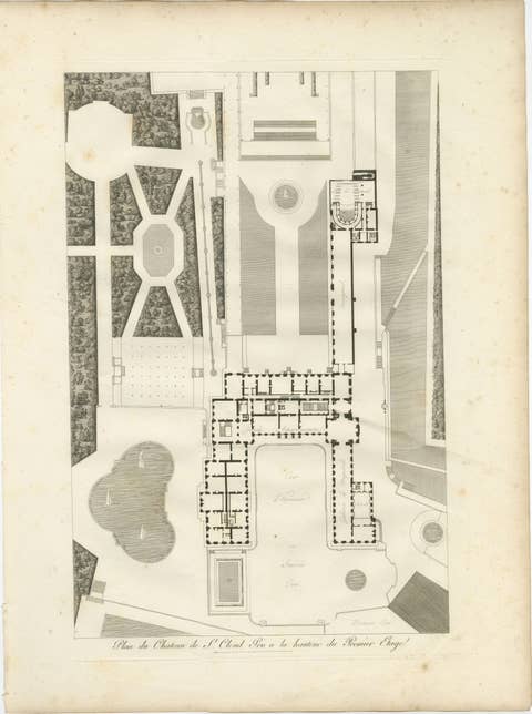
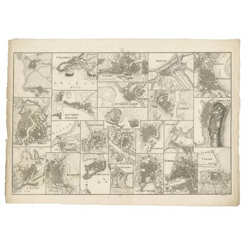
This finely executed original antique copperplate engraving presents a topographical plan of the Château de Saint-Cloud and its celebrated formal gardens overlooking the River Seine. The engraving illustrates the palace complex, extensive geometric gardens, grand avenues, parterres, fountains, wooded parks, and surrounding landscape in remarkable detail, reflecting the grandeur of one of France's most magnificent royal estates before its destruction in the nineteenth century.
The Château de Saint-Cloud served as a favored royal residence for the Bourbon monarchs and later for Napoleon Bonaparte. Renowned for its magnificent gardens designed in the French formal tradition, the estate became one of the country's most important royal landscapes and a symbol of French architectural and garden design.
The engraving was created by the distinguished French architect and engraver Louis-Pierre Baltard (1764–1846) and published in Paris in 1803 as part of the celebrated Napoleonic-era publication Paris et ses Monuments, mesurés, dessinés et gravés. This monumental work documented France's most important architectural monuments, palaces, and historic sites through meticulously engraved copperplates of exceptional artistic and architectural quality.
Both decorative and historically significant, this engraving appeals to collectors of antique maps, French architecture, landscape design, royal history, and Grand Tour material.
This is an original antique engraving printed in 1803 and not a later reproduction. It is offered unframed. Any framed images are shown for presentation purposes only.
Year:
1803
Maker:
Louis-Pierre Baltard (1764–1846)
Publisher:
Paris
Origin:
France
Technique:
Original copperplate engraving on laid paper
Condition:
Fair to good antique condition with age-related toning, scattered foxing, a tear at the lower border, and minor wear consistent with age. Please examine the photographs carefully.
Materials:
Paper, black ink
Style:
Neoclassical, Architectural, Cartographic
Subject:
Topographical plan of the Château and Gardens of Saint-Cloud
Keywords:
Louis-Pierre Baltard, Saint-Cloud, Château de Saint-Cloud, French garden, antique map, topographical plan, architectural engraving, copperplate engraving, Paris et ses Monuments, French architecture, Napoleonic France, palace gardens, River Seine, landscape design, royal estate, Grand Tour, original antique print, 1803, French decor, wall art