About this sheet
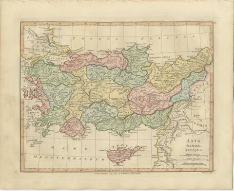
Hannibal’s Campaign Map, Spain to Italy via Alps, Wilkinson London 1817
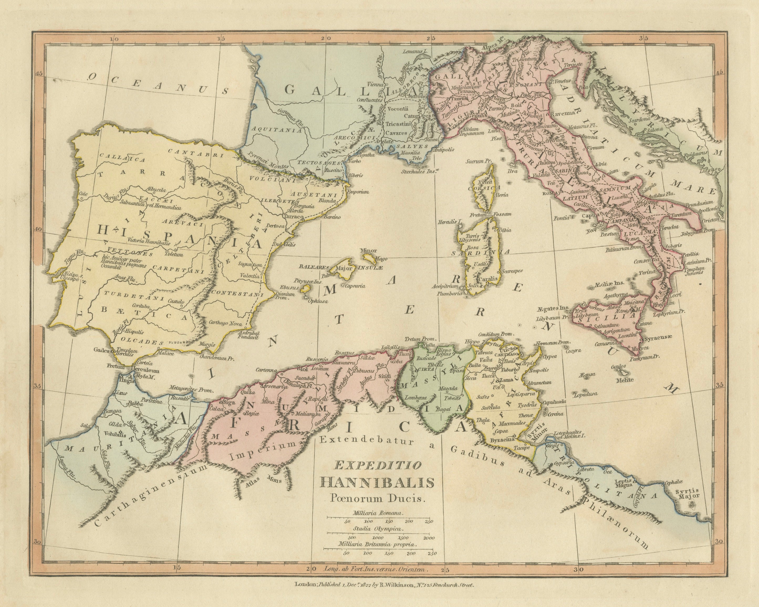
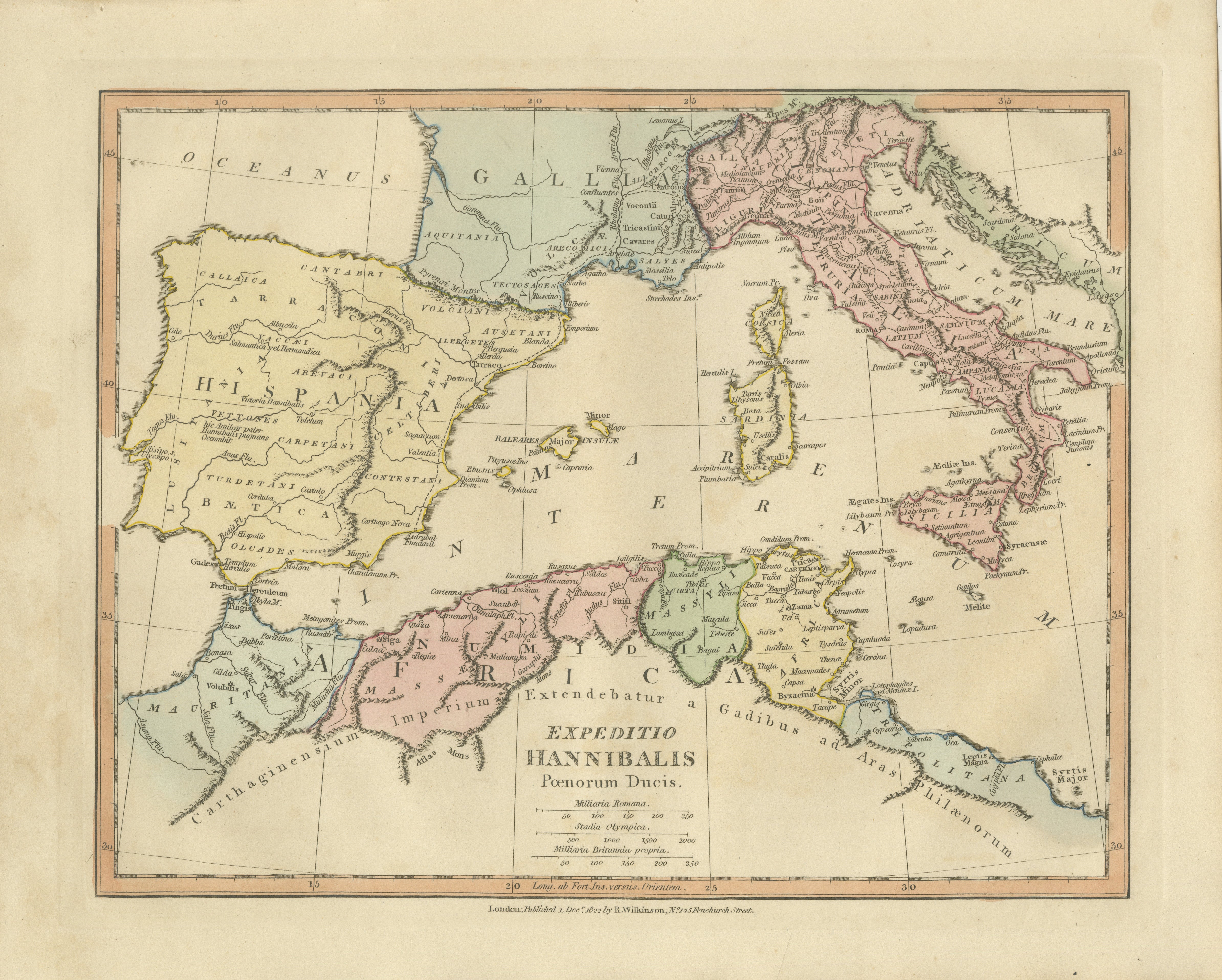
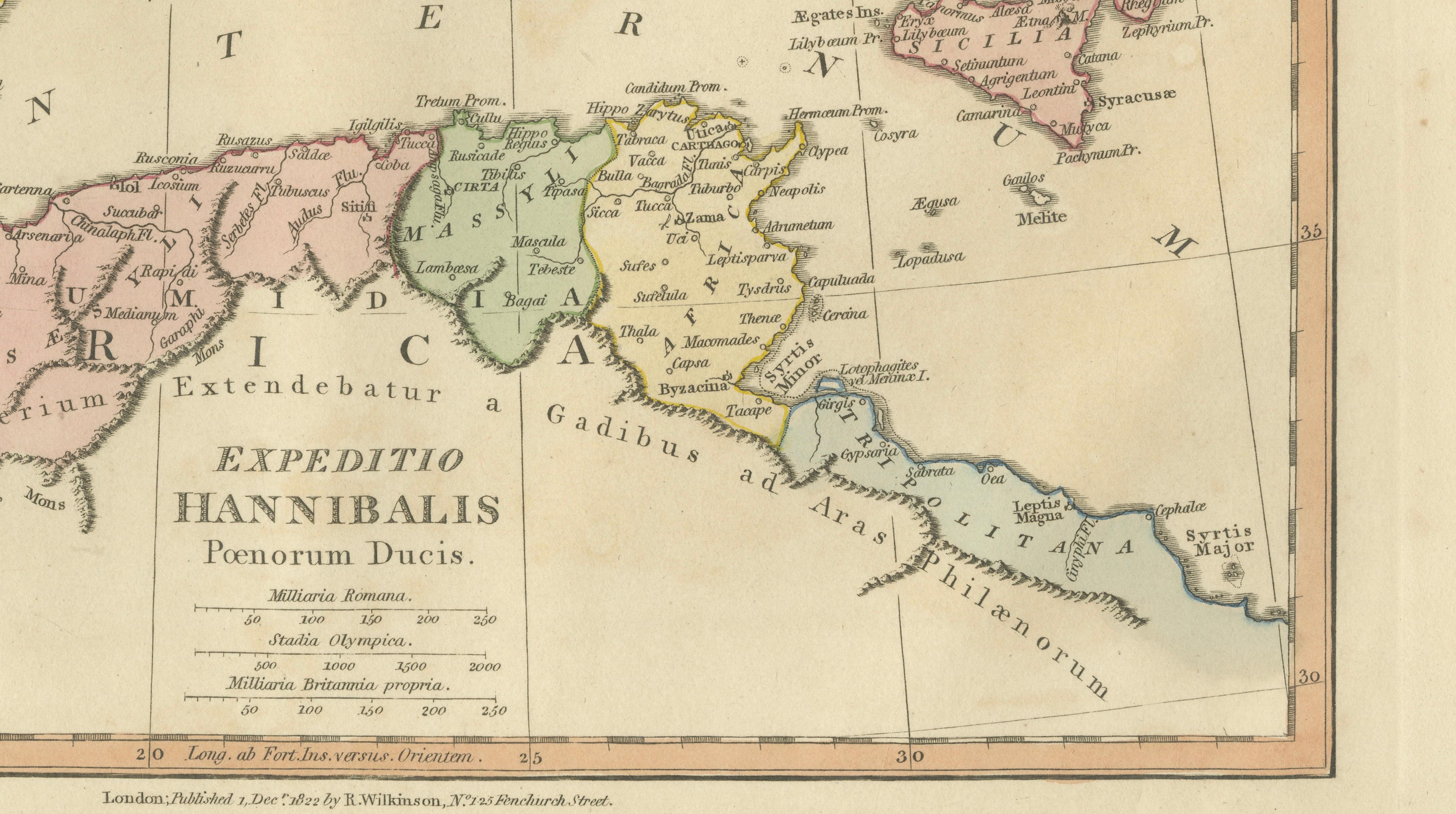
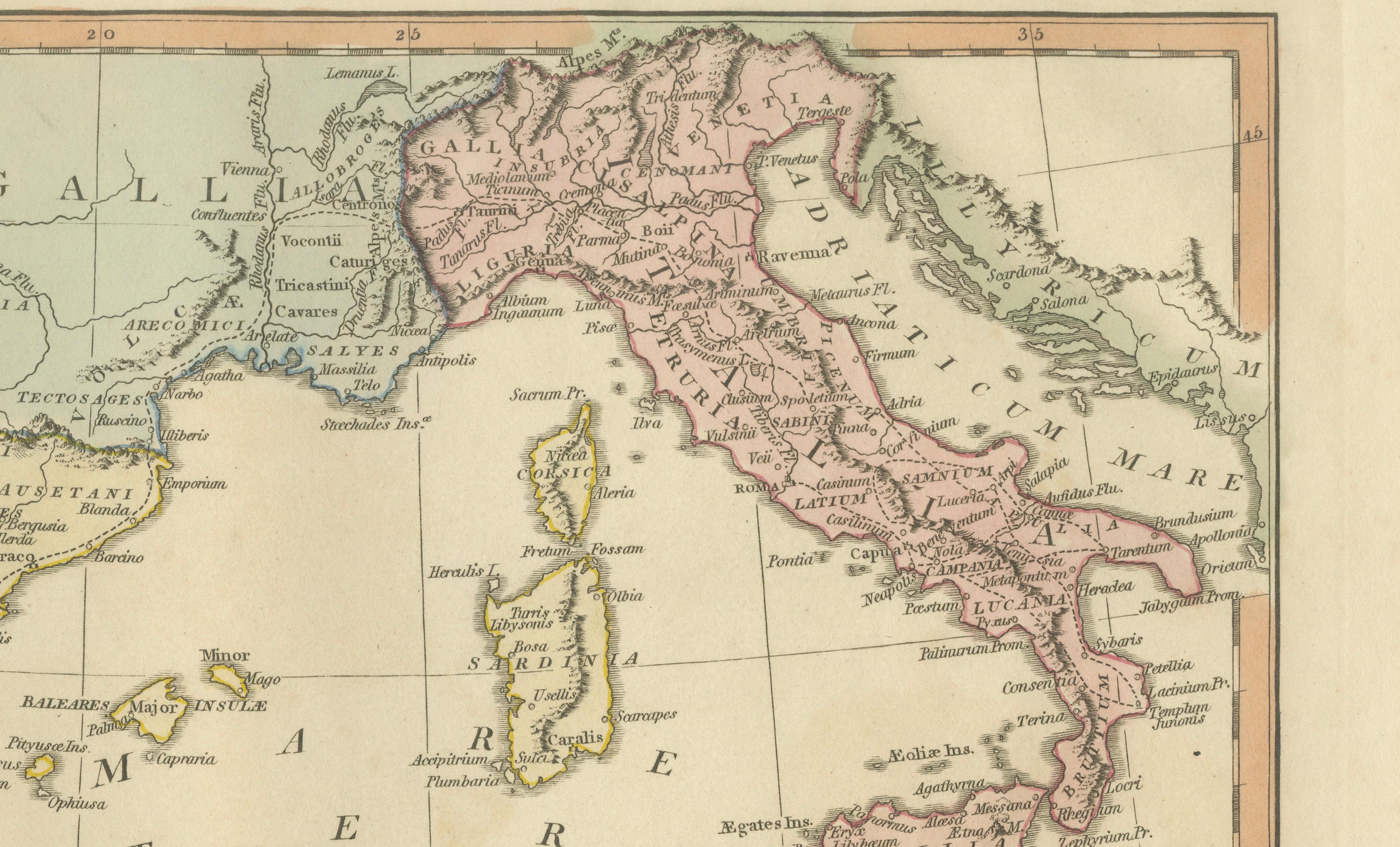
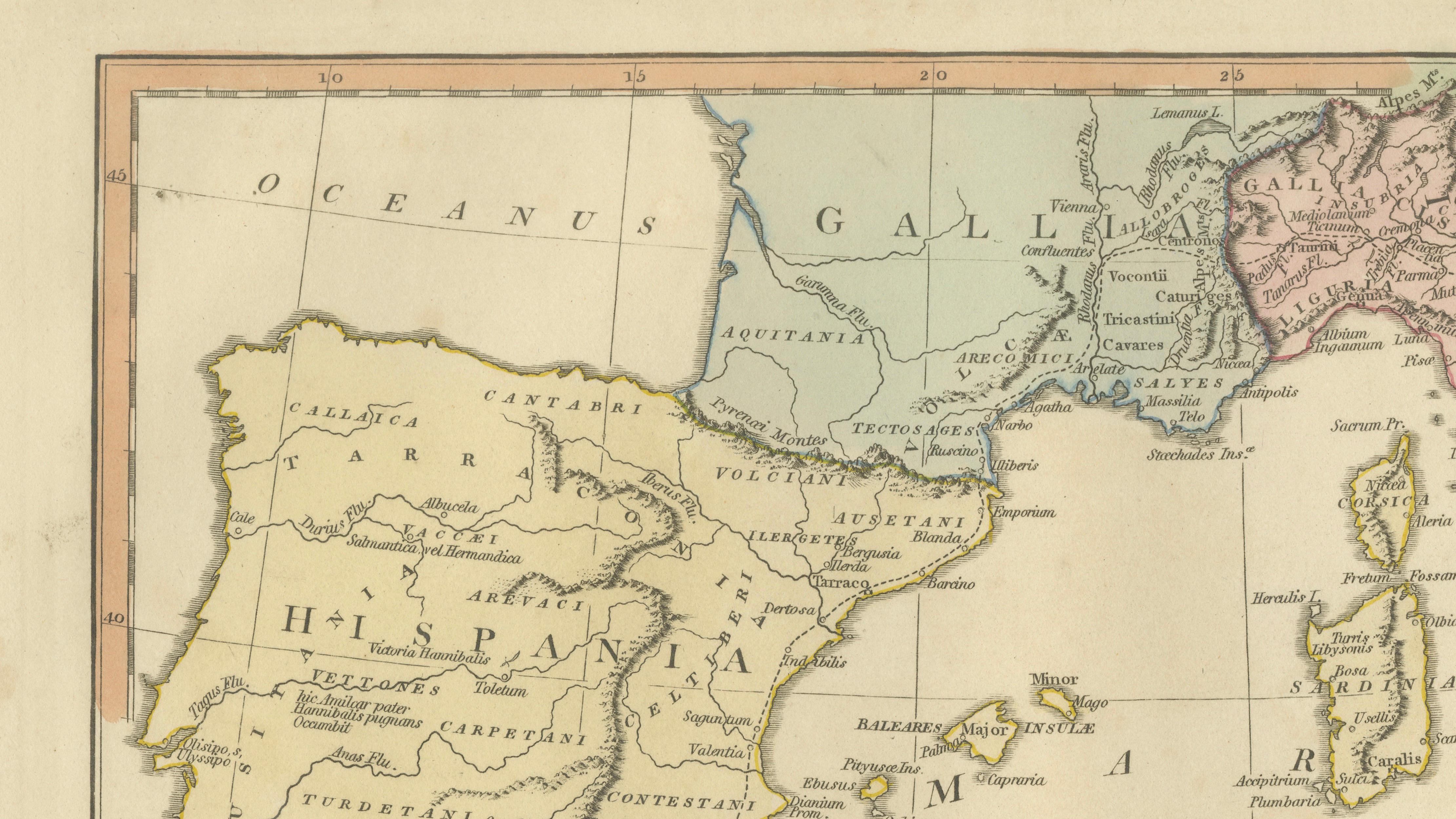
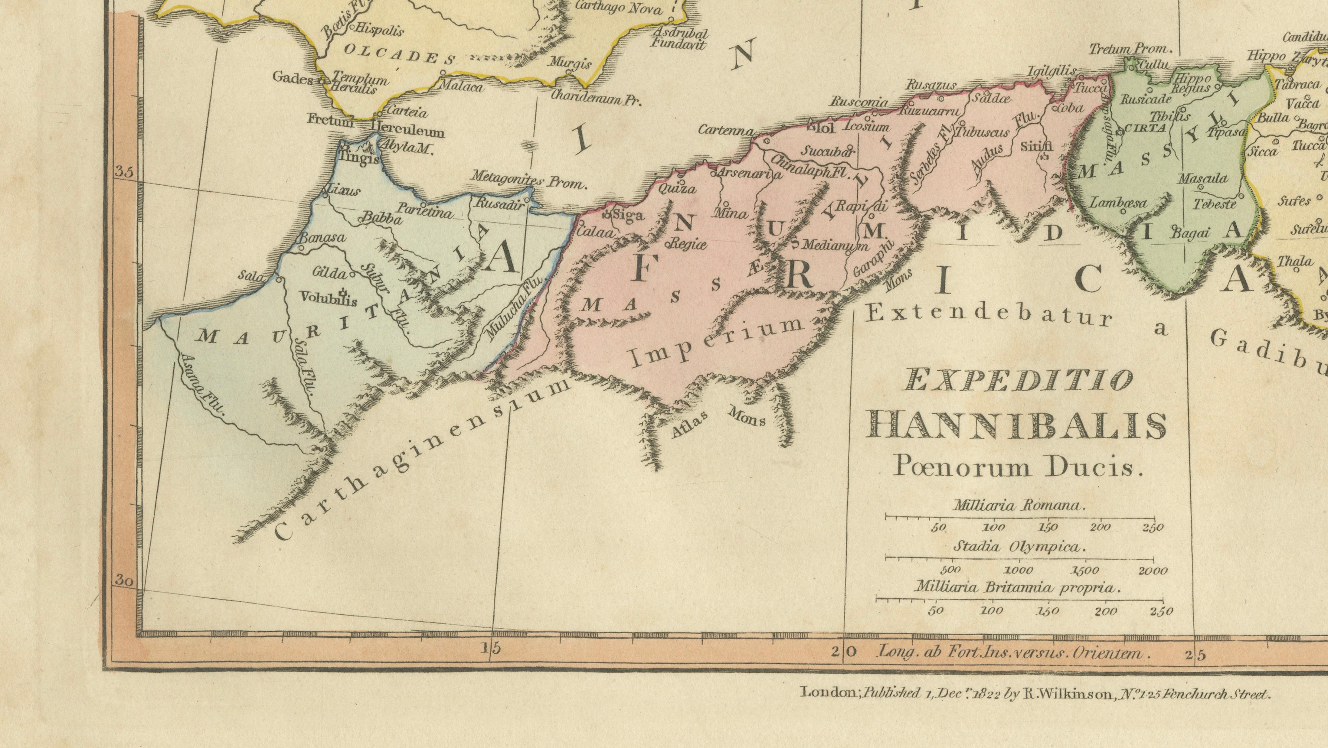
This finely engraved and delicately hand-colored map illustrates the legendary military campaign of Hannibal Barca, tracing his extraordinary march from Iberia across Gaul and over the Alps into Italy during the Second Punic War. Published in London in 1817 by Robert Wilkinson as part of his renowned Atlas Classica, the map was designed as an educational and historical tool to accompany the study of classical antiquity.
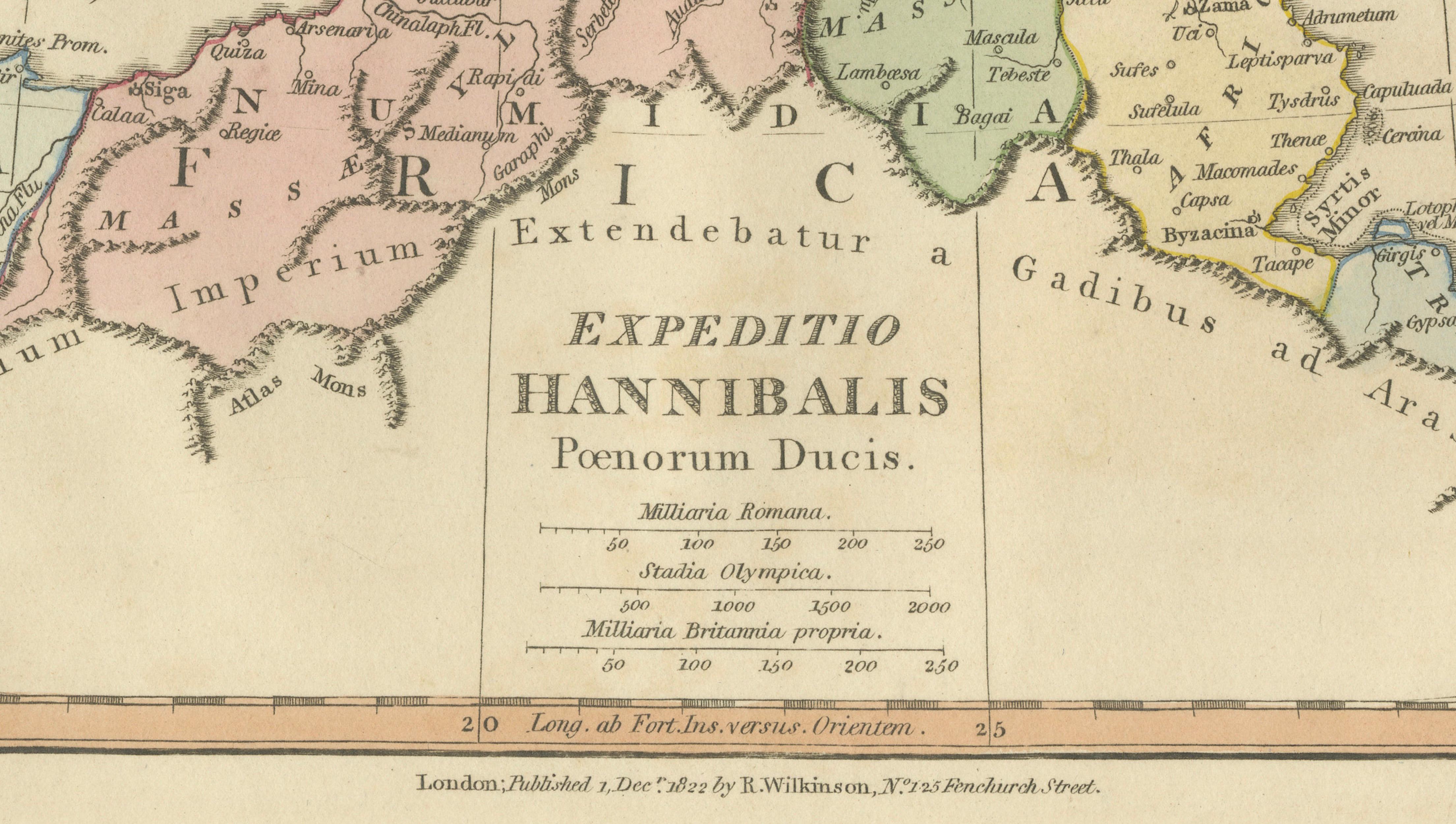
Titled Expeditio Hannibalis Poenorum Ducis, the map charts the strategic movements of Hannibal’s forces from Carthaginian Spain (Hispania) through southern Gaul and across the formidable Alpine barrier into northern Italy. The route is clearly delineated, offering a vivid geographical narrative of one of the most daring and studied military campaigns in history. Key regions such as Iberia, Gaul, Liguria, and Italia are carefully outlined and enhanced with subtle original hand coloring.
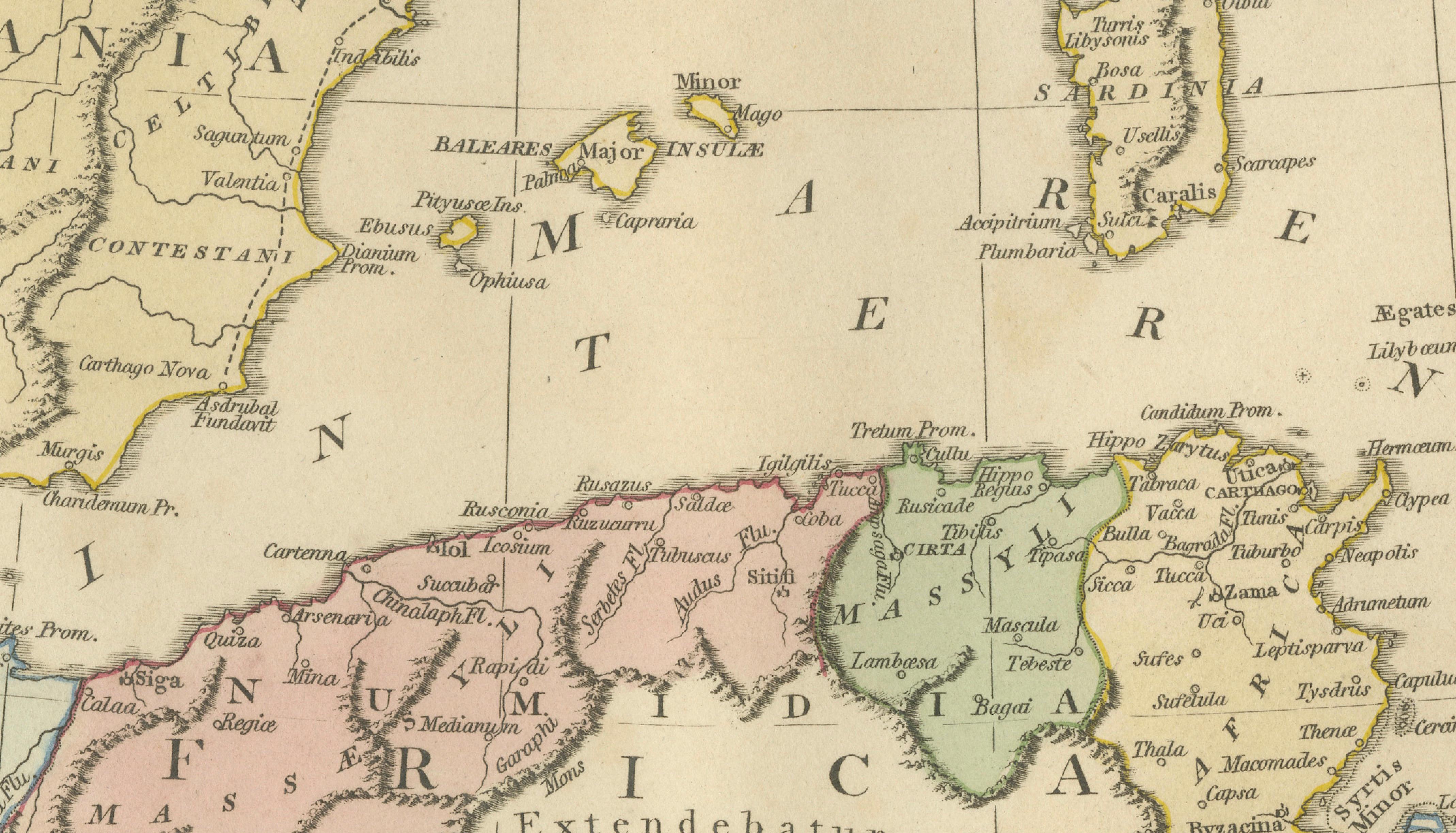
Important ancient cities and locations—such as Carthago Nova, Saguntum, Massilia (Marseille), and key Alpine passes—are identified, providing context to the logistical and strategic challenges faced by Hannibal’s army, famously including war elephants. The Mediterranean basin is elegantly rendered, with the Balearic Islands, Sardinia, Corsica, and Sicily anchoring the composition and emphasizing the broader theater of conflict between Rome and Carthage.
Engraved with precision and clarity, the map reflects the refined craftsmanship of early 19th-century British cartography. The balanced composition, soft pastel tones, and crisp typography create a sheet that is both academically informative and visually compelling. It captures the intellectual spirit of the period, when classical history formed a central part of education and cultural interest.
A striking and historically rich piece, ideal for collectors of classical history, military cartography, or decorative antique maps. It offers a fascinating visual account of one of antiquity’s most iconic campaigns and makes a strong statement in both traditional and contemporary interiors.
Condition: Very good with original hand color. Light age toning and minor wear consistent with age. Margins well preserved. Plate mark visible.
Framing tips: Particularly effective in a dark walnut or ebonized frame with a wide ivory or warm off-white mat. Ideal for a study, library, or refined interior; pairs beautifully with other classical maps.
This is an original 19th-century engraving, not a reproduction. All items we offer are authentic period works of art over 100 years old. The map is sold unframed; any framed images are shown for presentation and interior inspiration only.
Keywords: Hannibal map, Expeditio Hannibalis, Second Punic War map, Carthaginian campaign map, ancient military map, Alps crossing map, Iberia to Italy map, Roman Republic wars, Gaul map, Hispania map, Italia antique map, Carthage map, Saguntum Massilia, Mediterranean map, Balearic Islands Sardinia Corsica Sicily, Atlas Classica, Robert Wilkinson map, 1817 antique map, classical history map, ancient warfare map, copperplate engraving, hand colored map, British atlas engraving, London published map, early 19th century map, decorative antique map, scholarly atlas, collectors map, interior wall art, neoclassical decor, museum quality map
Technique: Copperplate engraving with original hand color
Maker: Robert Wilkinson, London, 1817 (engraved by E. Bourne)