About this sheet
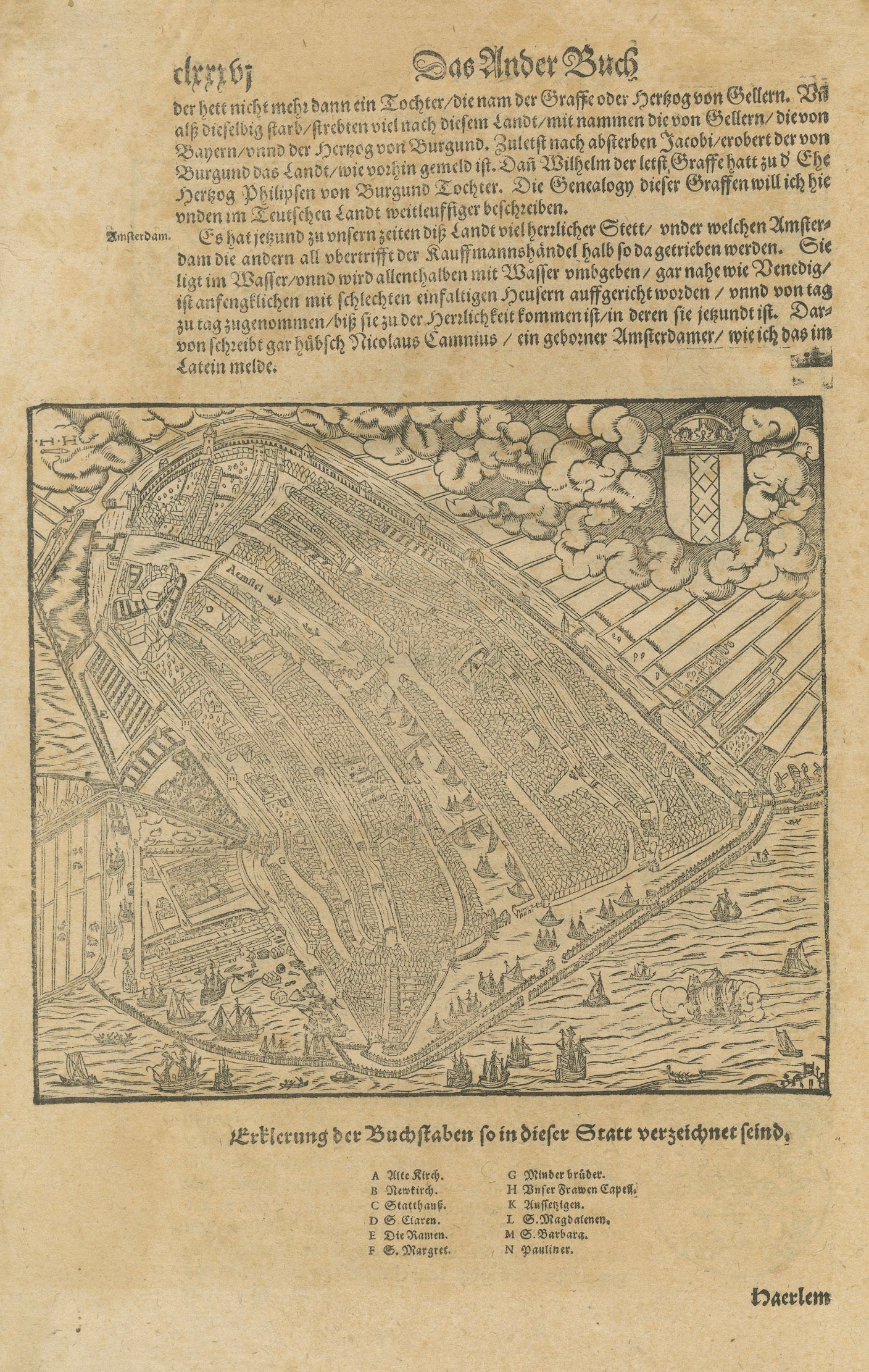
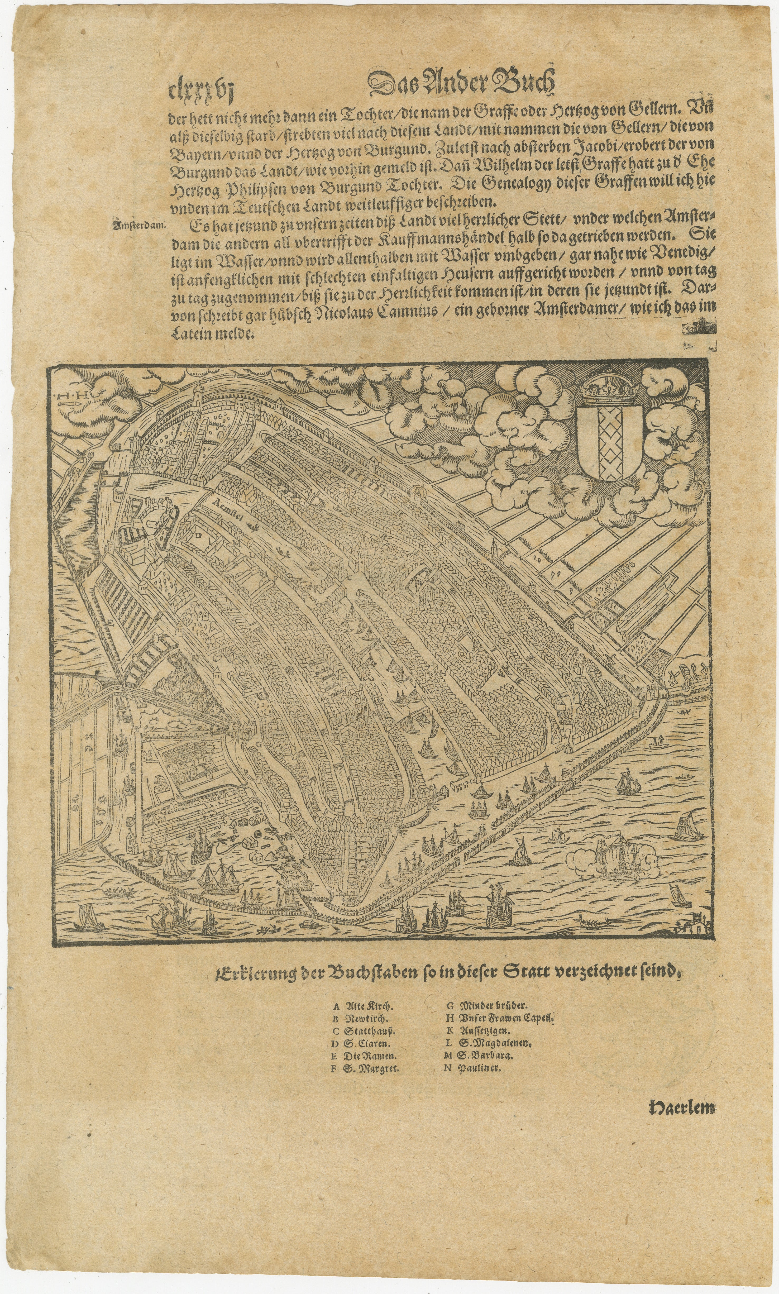
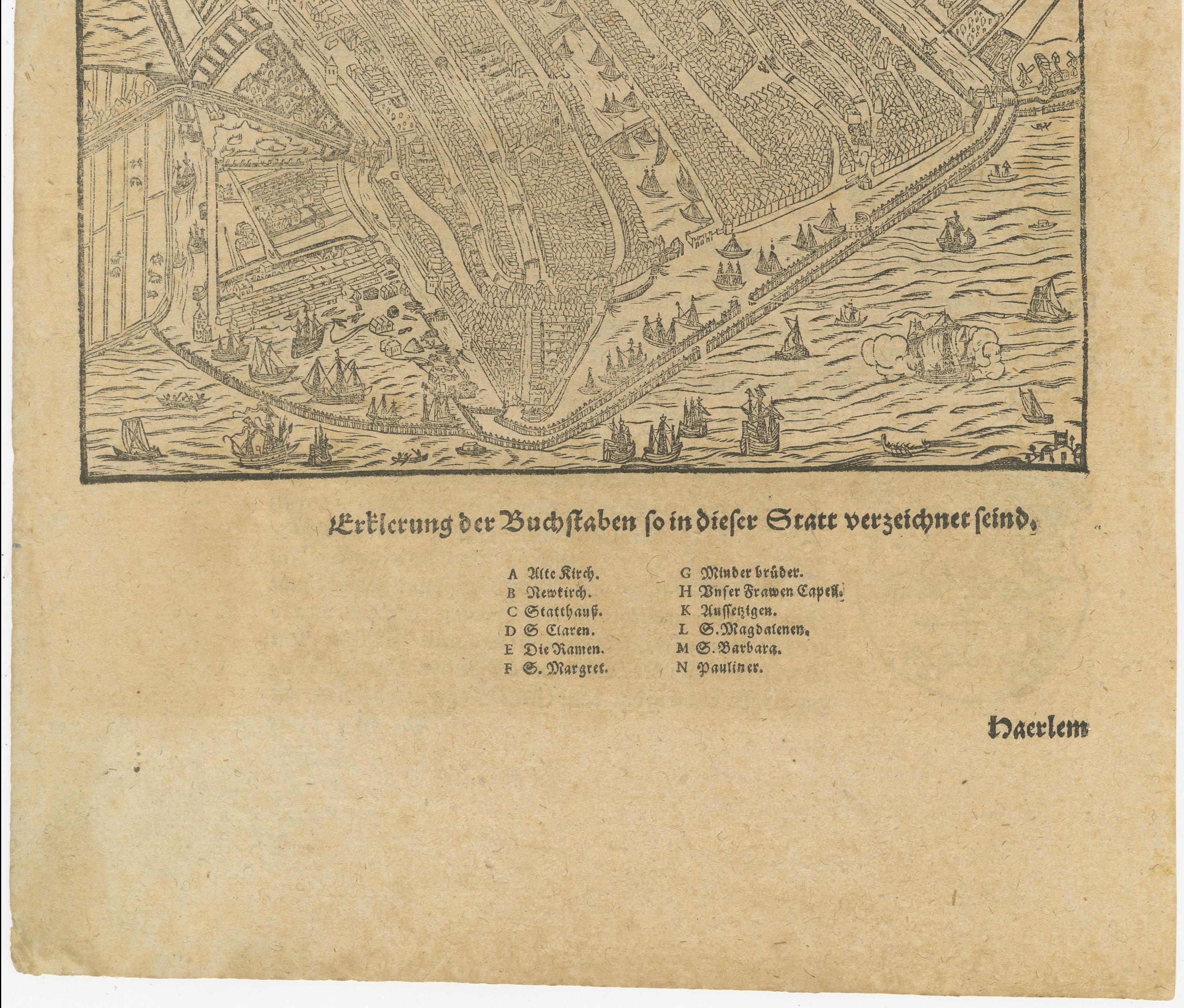
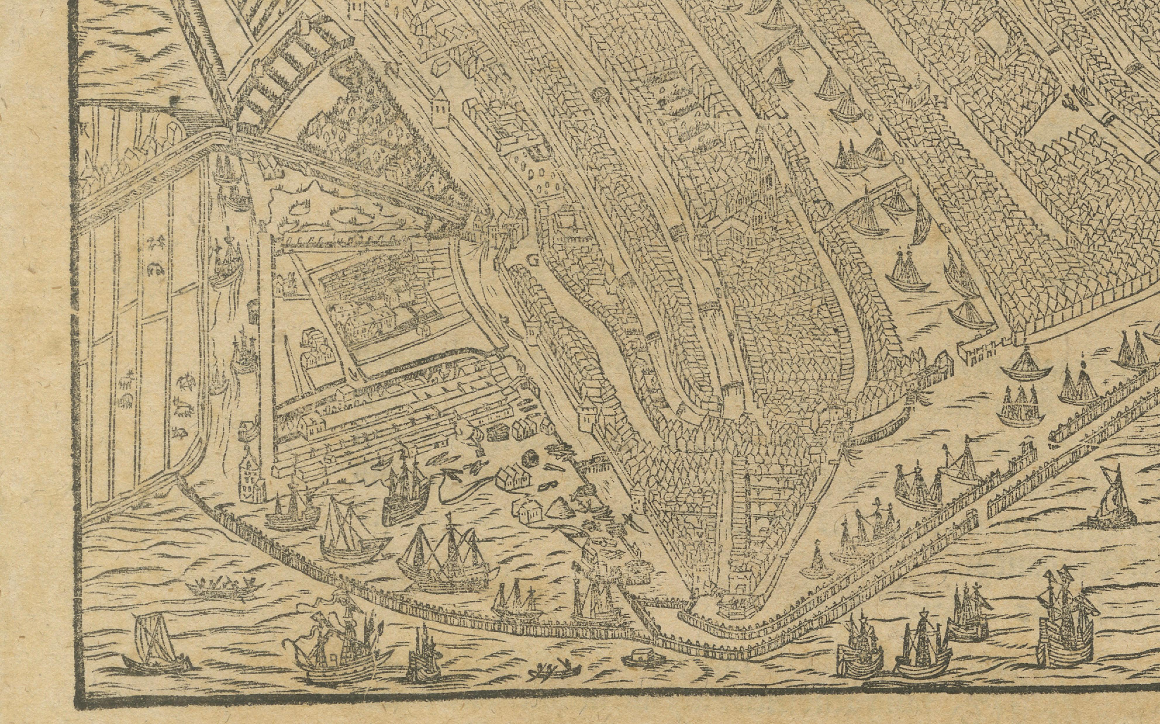
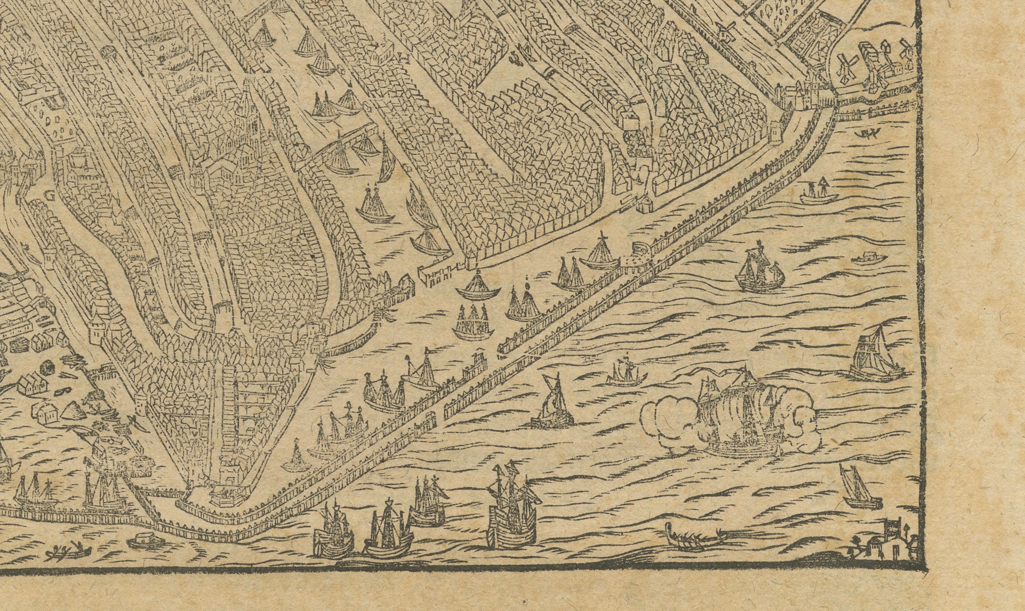
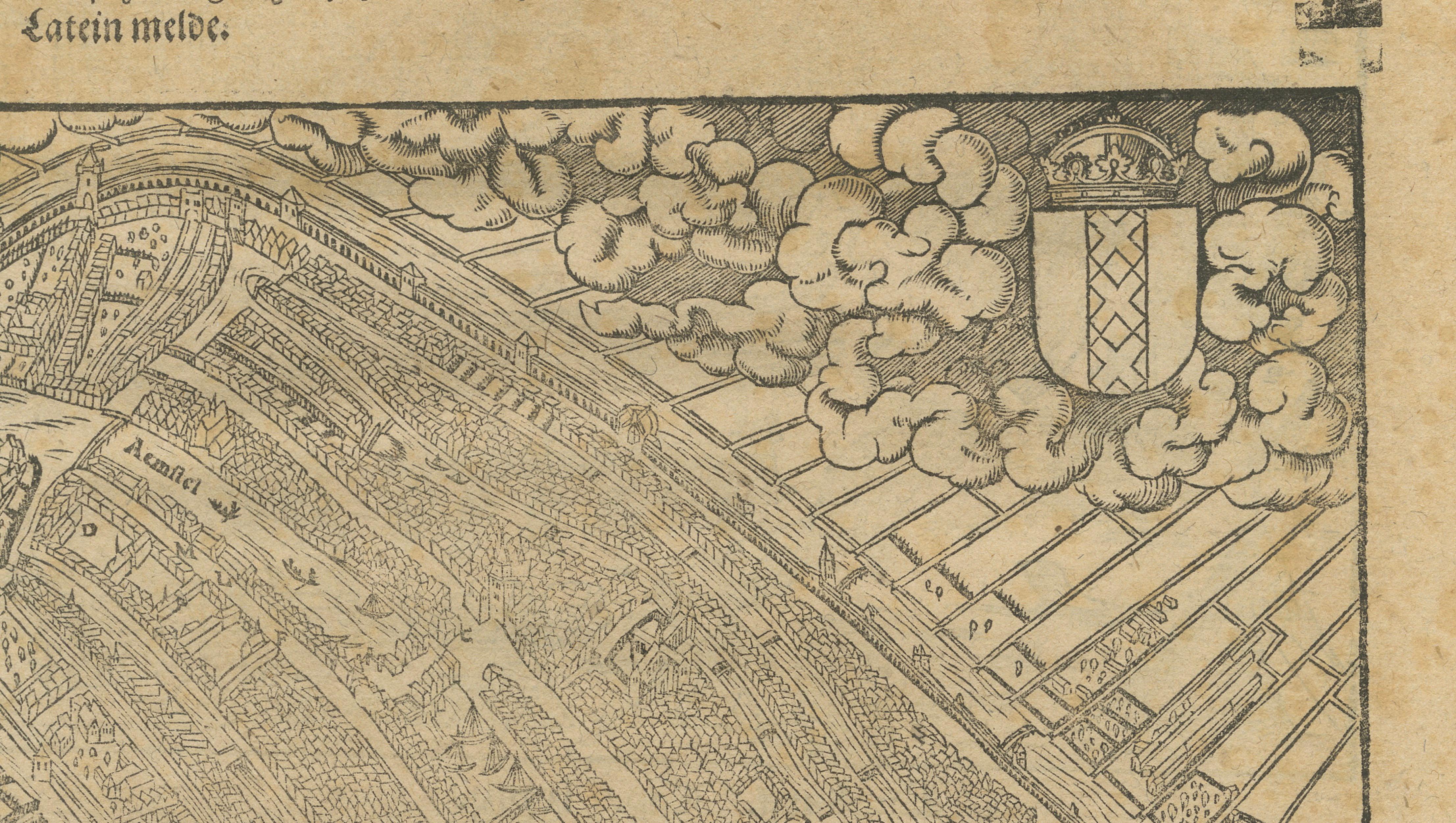
Antique Haarlem Map, Sebastian Münster Cosmographia Woodcut, c.1575
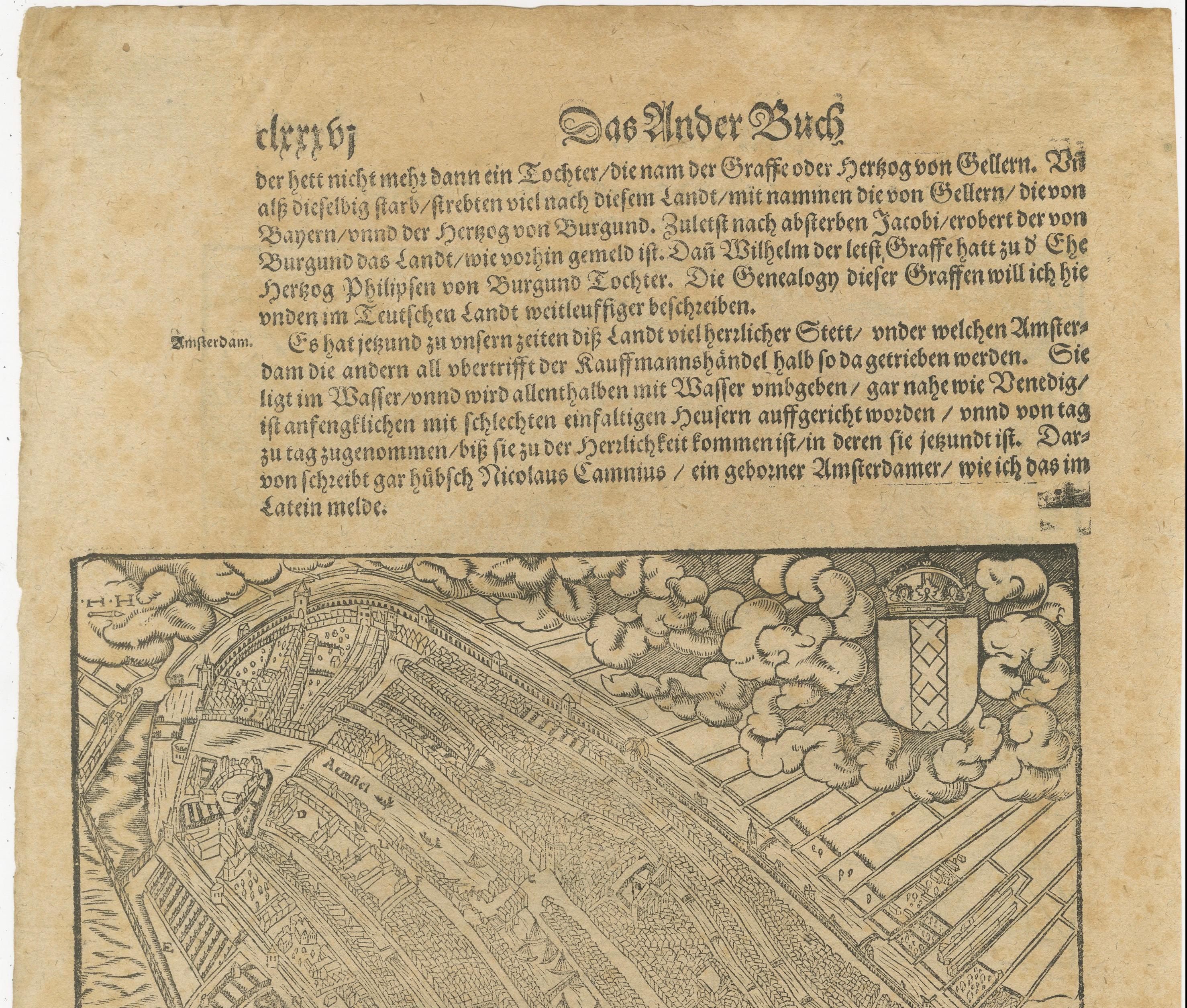
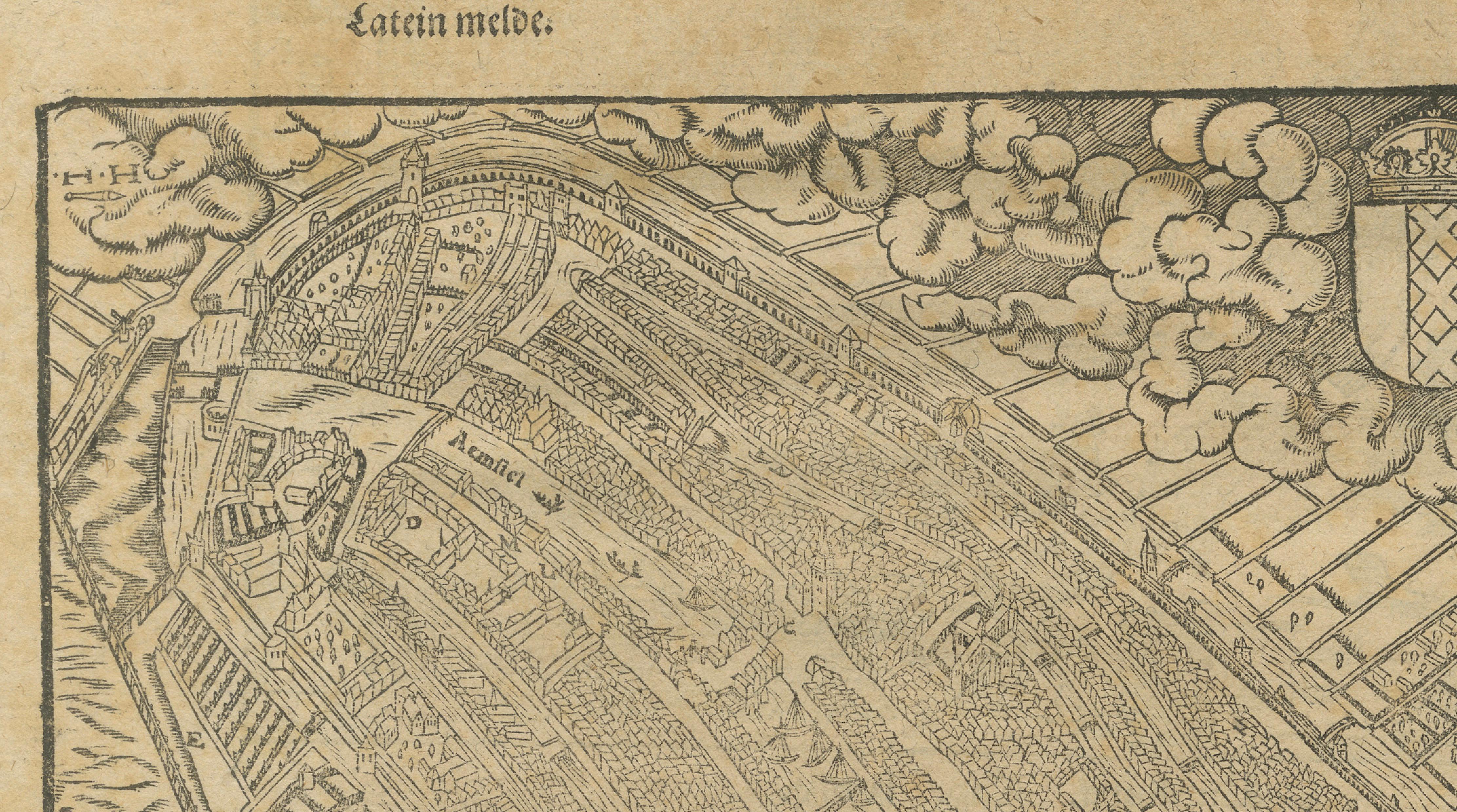
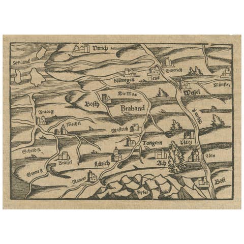
A rare original sixteenth-century woodcut map and bird's-eye view of Haarlem, published in Sebastian Münster's celebrated *Cosmographia*, one of the most influential geographical works of the Renaissance. This remarkable sheet combines a detailed city plan with extensive German letterpress text, offering a fascinating glimpse into Haarlem during the Dutch Golden Age's formative years.
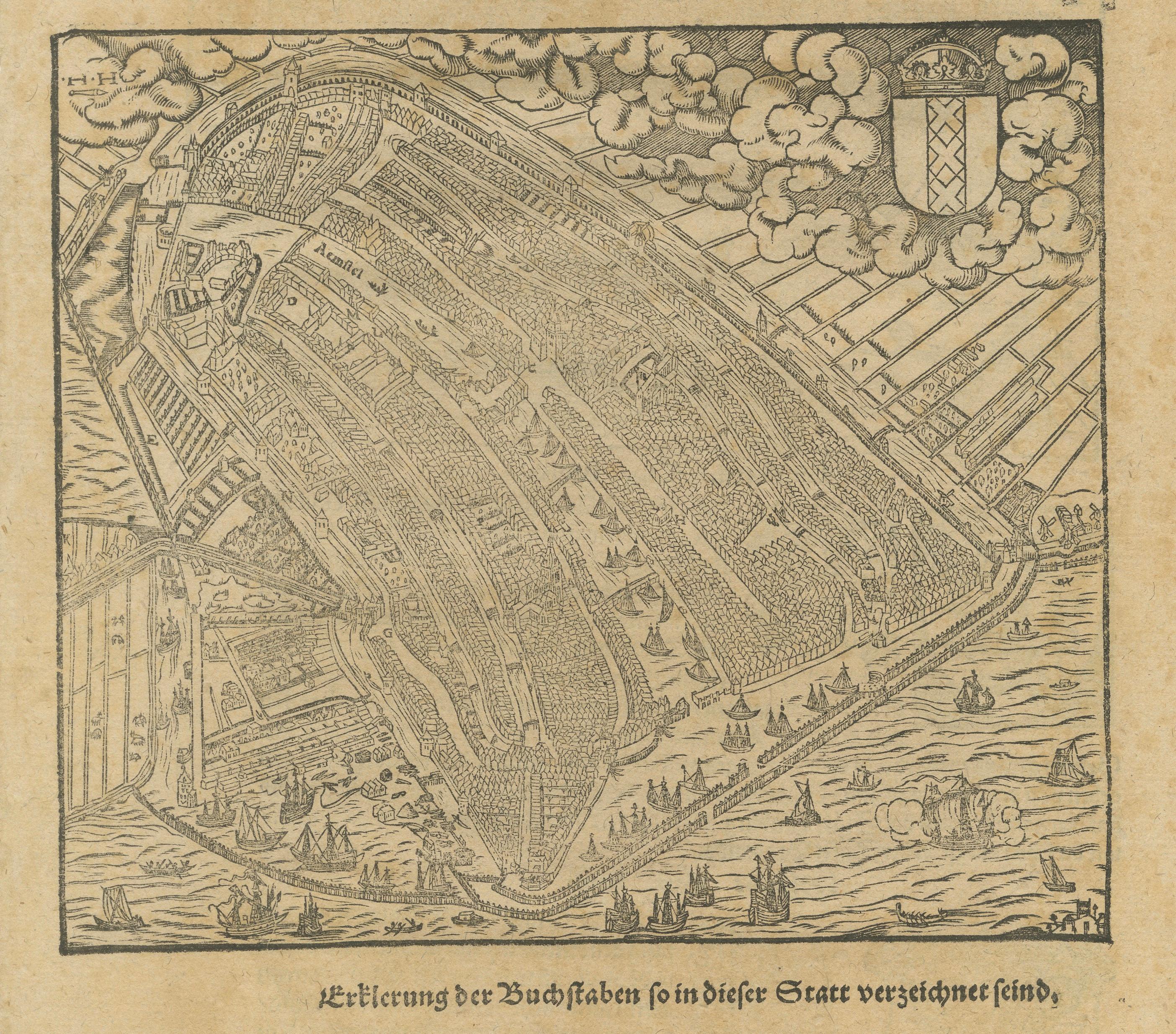
The view presents Haarlem from an elevated perspective, enclosed within its defensive walls and surrounded by waterways busy with ships and small vessels. Numerous churches, streets, gates, and civic buildings are depicted within the fortified city. Above the city floats the coat of arms of Haarlem, dramatically placed amongst stylized clouds, a decorative feature characteristic of Münster's woodcut illustrations.
Sebastian Münster (1488–1552) was among the most important geographers and cosmographers of the sixteenth century. First published in 1544, his *Cosmographia* became the best-selling geographical work of its age and remained in print for more than a century. The book introduced generations of readers to the cities, regions, and peoples of Europe and beyond through a remarkable series of maps and woodcut views.
Early Dutch city views from Münster are particularly desirable because they provide some of the earliest obtainable printed representations of important cities in the Low Countries. Haarlem was among the wealthiest and most influential urban centers of the northern Netherlands, renowned for its textile industry, breweries, trade, and artistic culture.
The bold woodcut technique gives the view a distinctive graphic quality that differs markedly from later engraved city plans. The image possesses considerable decorative appeal while also serving as an important historical document of sixteenth-century Haarlem.
Today, original Münster city views are sought after by collectors of early cartography, Dutch history, Haarlemiana, Renaissance printing, and decorative antique maps.
Condition Report:
Trifle browned and foxed throughout, consistent with the age of the sheet. General age toning, minor handling wear, and light staining. The woodcut impression remains strong and the image is complete with good margins. Overall a well-preserved example of a scarce sixteenth-century city view.
Framing Suggestions:
This early woodcut displays beautifully in a dark walnut, ebonized, or black-and-gilt frame with an ivory museum mat. The warm tone of the paper complements traditional interiors, libraries, studies, and collections focused on Dutch history or early cartography.
This offering is for an original sixteenth-century woodcut, not a modern reproduction. Any framed room visualizations are intended solely to illustrate potential display options and may not accurately represent the print's exact scale relative to the frame or interior setting. The print is sold unframed.
Technique: Woodcut
Maker: Sebastian Münster, Basel, Switzerland, c. 1575.