About this sheet
Antique Map of Batavia Jakarta Indonesia, Dutch East Indies, c.1750
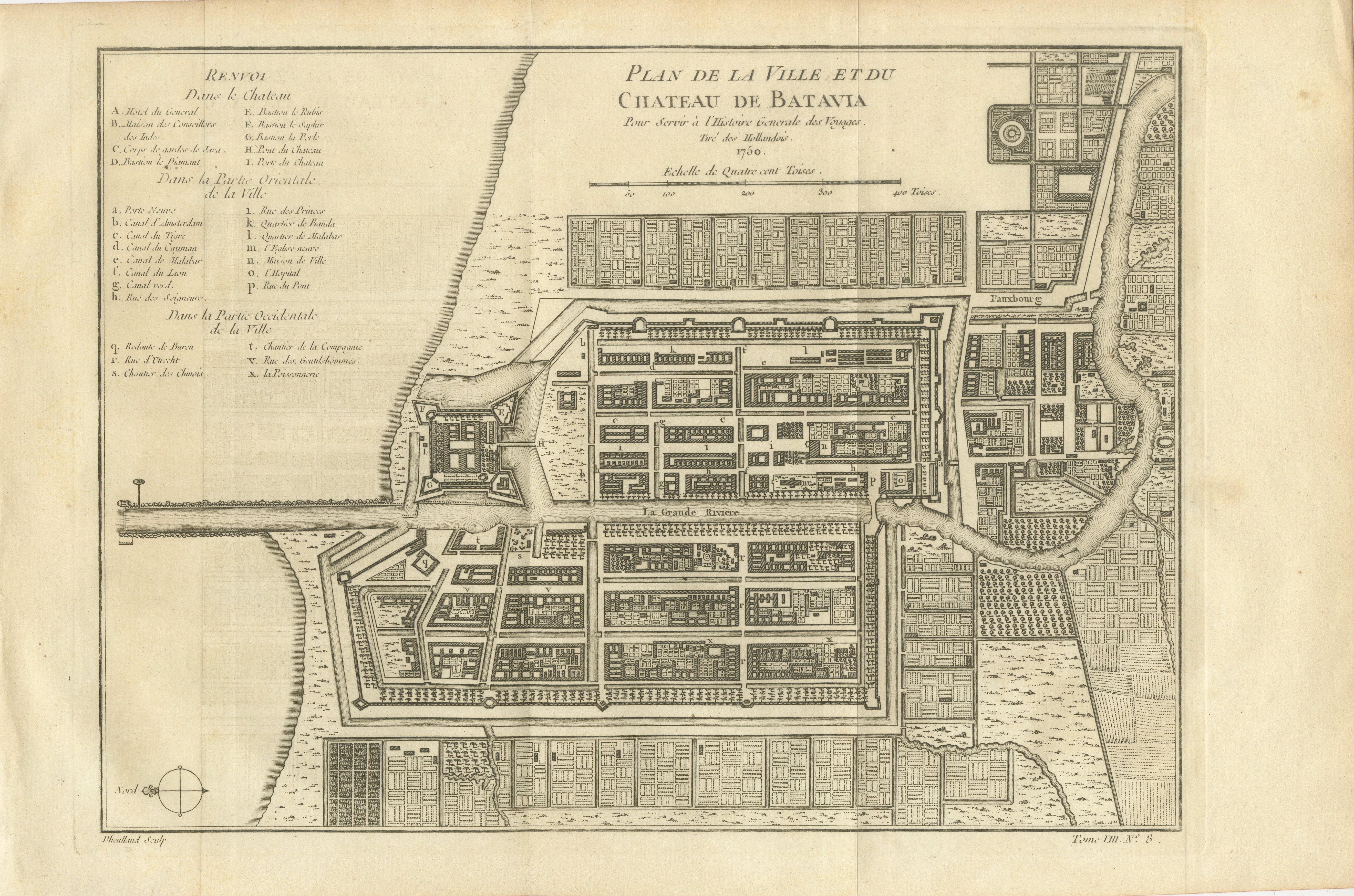
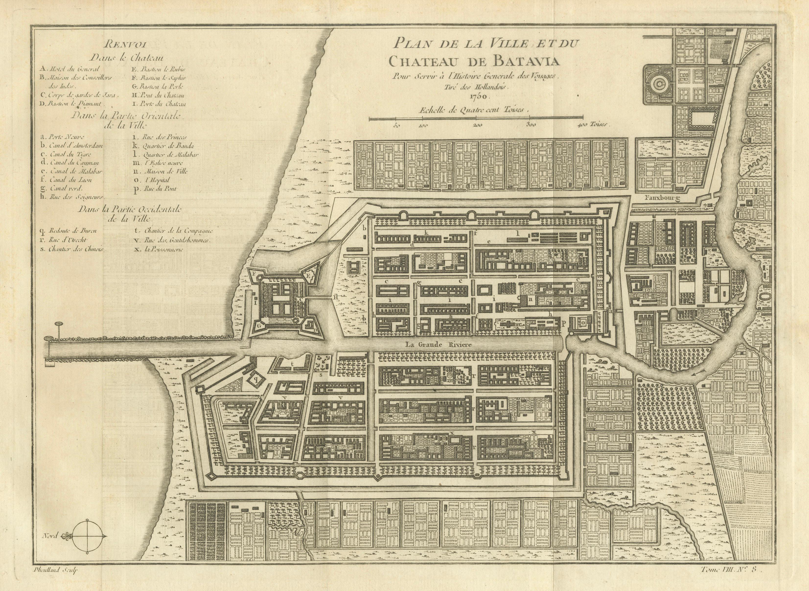
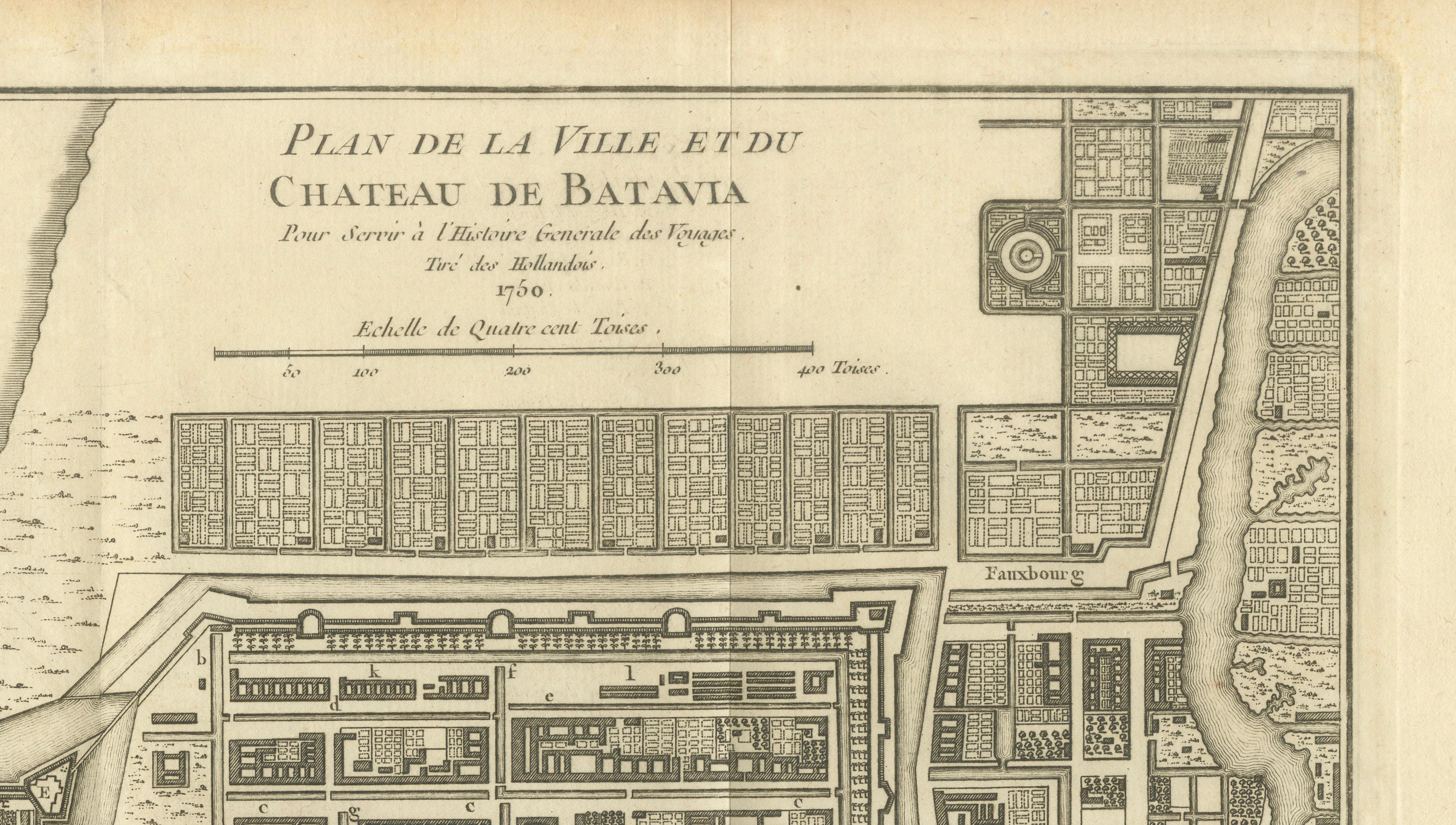
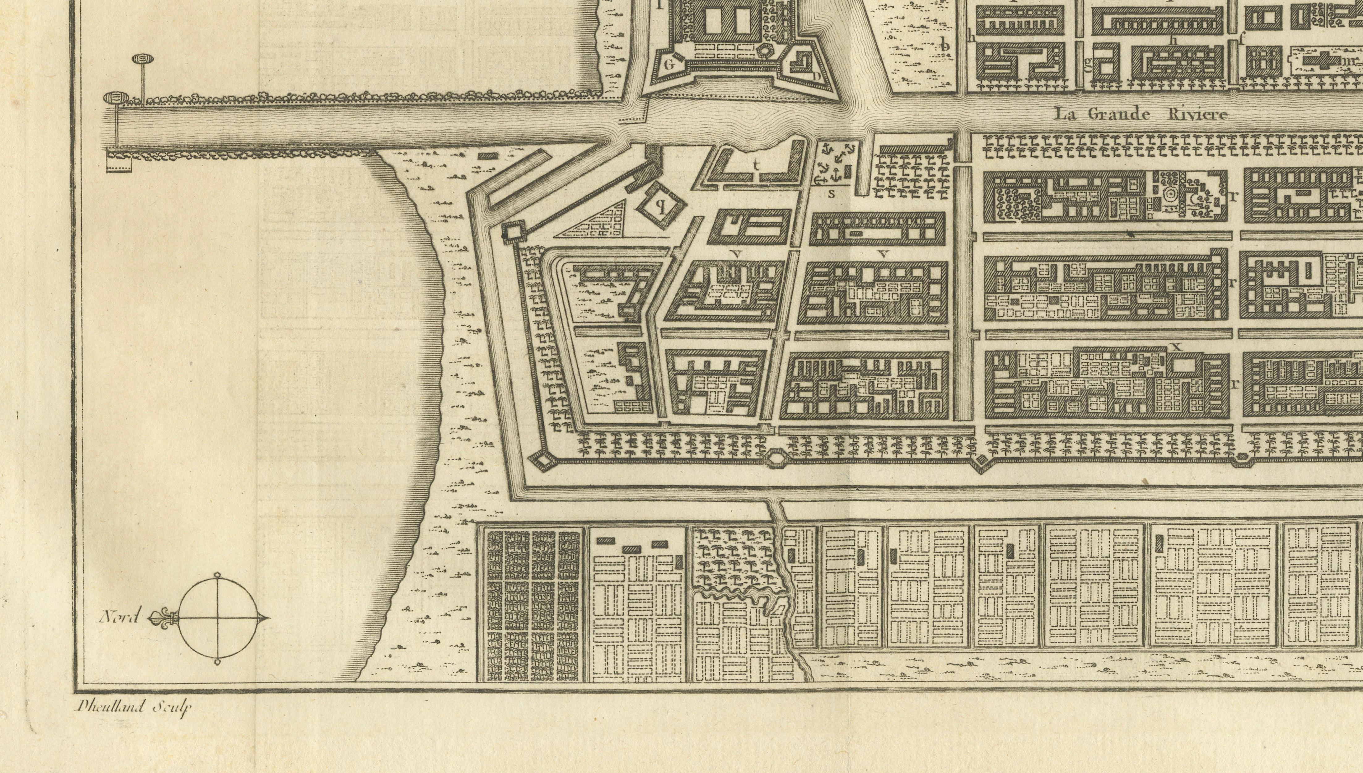
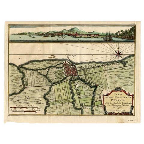
This finely engraved eighteenth-century city plan depicts Batavia, the fortified capital of the Dutch East Indies and the predecessor of modern Jakarta, Indonesia. Titled Plan de la Ville et du Chateau de Batavia, the map was published for Antoine François Prévost's celebrated Histoire Générale des Voyages and shows the city as it appeared during the height of Dutch colonial power in Southeast Asia around 1750.
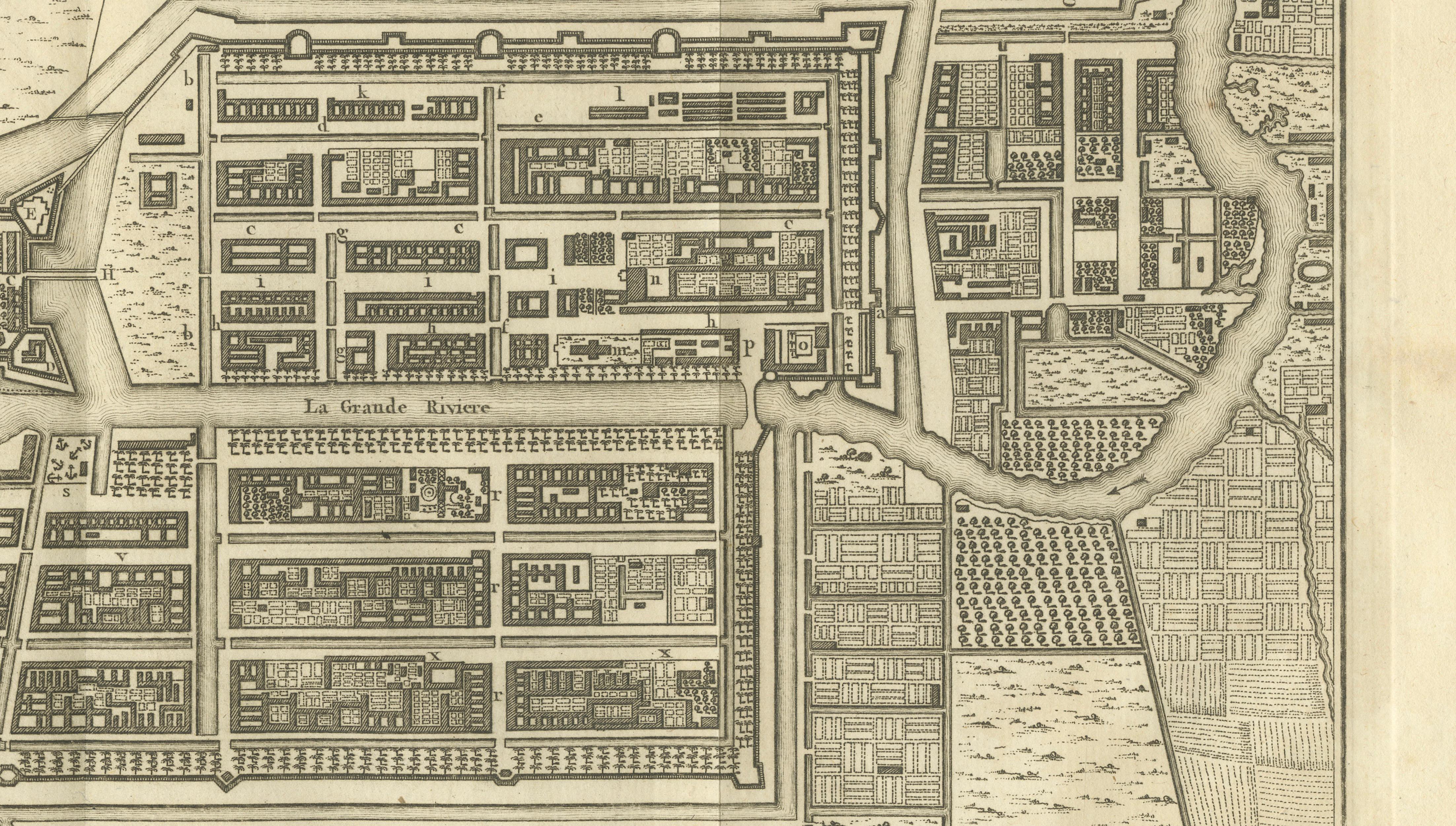
The plan provides a remarkably detailed overview of Batavia's urban layout, including its imposing castle, defensive walls, bastions, canals, river system, harbor facilities, and regimented street grid. The Dutch East India Company (VOC) developed Batavia into its principal Asian headquarters, controlling trade routes that connected Europe with the spice-producing regions of the Indonesian archipelago. The city's strategic position made it one of the most important commercial centers in the world during the eighteenth century.
Particularly notable is the carefully engraved representation of the castle and fortifications guarding the harbor entrance. The map identifies numerous public buildings, canals, bridges, warehouses, and residential quarters through an extensive keyed legend. The surrounding suburbs, waterways, agricultural lands, and river approaches are also shown, offering valuable insight into the city's relationship with its surrounding landscape.
Maps of Batavia remain among the most sought-after cartographic images relating to Indonesia and the Dutch colonial period. They appeal to collectors of Southeast Asian history, Dutch East Indies material, VOC memorabilia, and early city plans. The elegant French engraving style and detailed urban representation make this an especially attractive example from the mid-eighteenth century.
This is an original antique copperplate engraving, printed at the time. It is not a modern reproduction.
Condition report:
Good condition for its age. Original centerfolds as issued. Light age toning and occasional minor foxing consistent with eighteenth-century paper. Strong, dark impression with good margins. Please study the photographs carefully.
Framing tips:
This map displays beautifully in a dark walnut, ebonized, or museum-black frame with a wide warm ivory mat. A thin gilt liner subtly highlights the engraving and complements the historical character of the piece. Particularly suitable for libraries, studies, offices, and interiors with connections to Indonesia or maritime history.