Maps & PrintsBartele Gallery · Langweer
Home / Antique Maps / Europe / Western Europe

Antique Maps of Western Europe

1,929 original sheets
The Netherlands & Belgium 692France 580Germany 285United Kingdom & Ireland 369
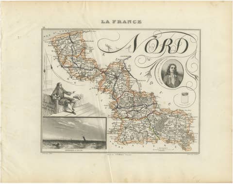
Antique Decorative Map of Nord, France by Vuillemin, circa 1850
1850 · € 220
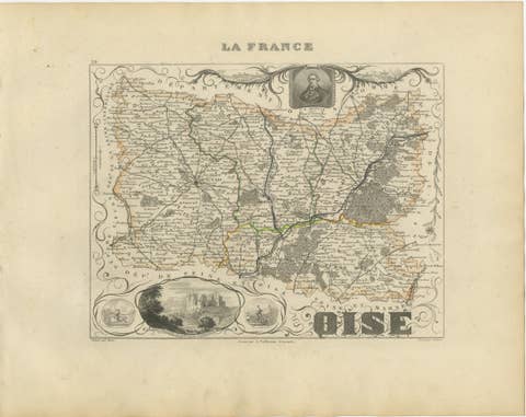
Antique Decorative Map of Oise, France by Vuillemin, circa 1850
1850 · € 220
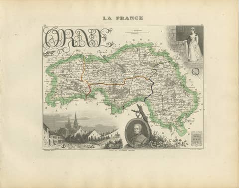
Antique Decorative Map of Orne, Normandy by Vuillemin, circa 1850
1850 · € 290
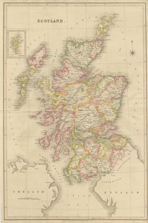
Antique Map of Scotland by T. L. Murray with Original Color, 1830
1830 · € 495
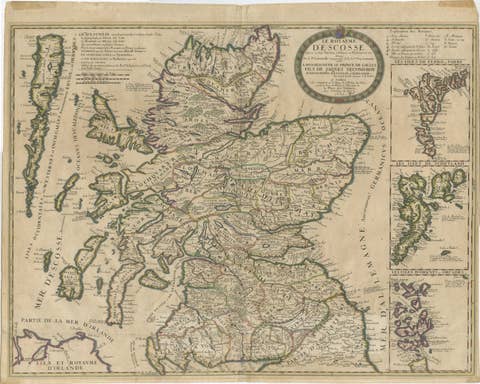
Antique Map of Scotland by Nolin and Coronelli with Island Insets, 1689
1689 · € 795
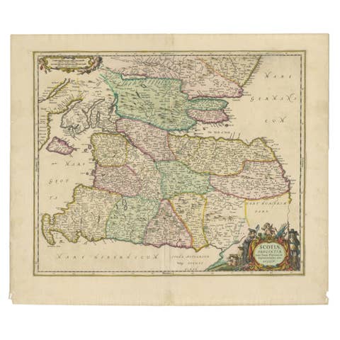
Scotiae Provintiae Inter Taum Fluvium et Septentrionales Oras Angliae, c.1660
1660 · € 795
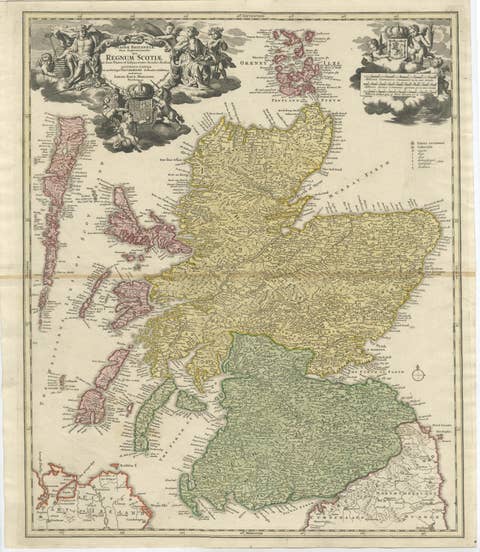
Antique Map of Scotland by Johann Baptist Homann, c.1710
1710 · € 895
Antique Map of Languedoc and Southern France by Gerard and Leonard Valck, c.1700
1700 · € 545
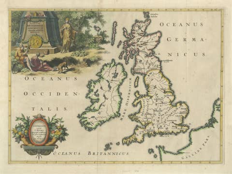
Ancient British Isles & Early Bishoprics Map, François Halma, 1704
1704 · € 1 290

Your favorites

Saved in this browser. Email the list to yourself to keep it on any device.

We use your email to send this list and, only if you tick the box and confirm, for occasional new arrivals. Every email has an unsubscribe link. Bartele Gallery, the Netherlands.

Powered by SiteKeys