About this sheet
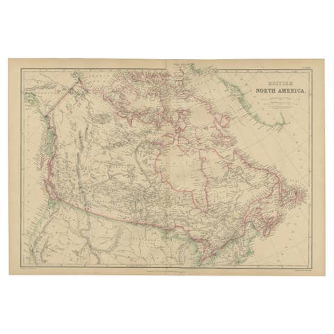
Antique Map of British North America, Canada and Hudson Bay, 1860
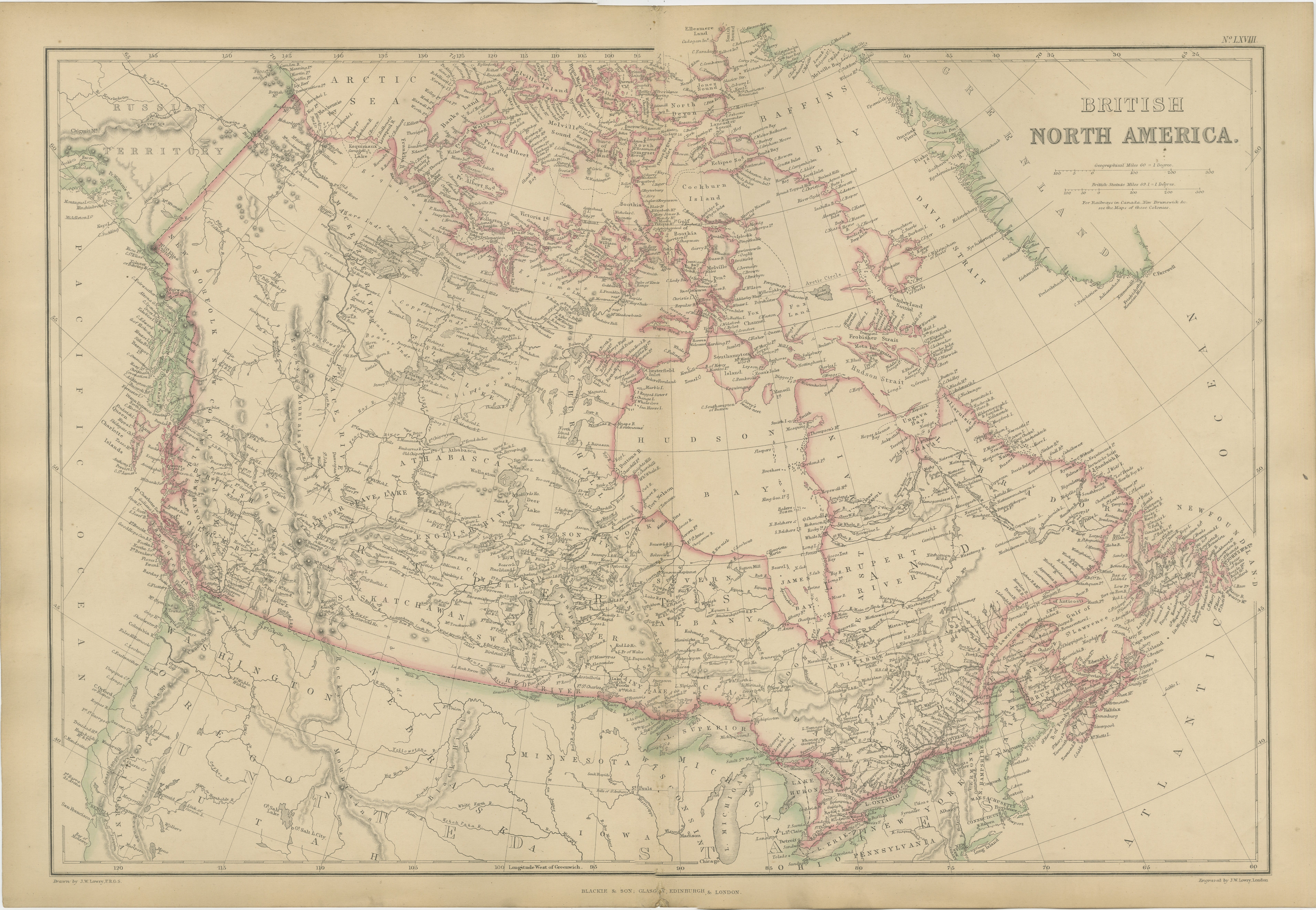
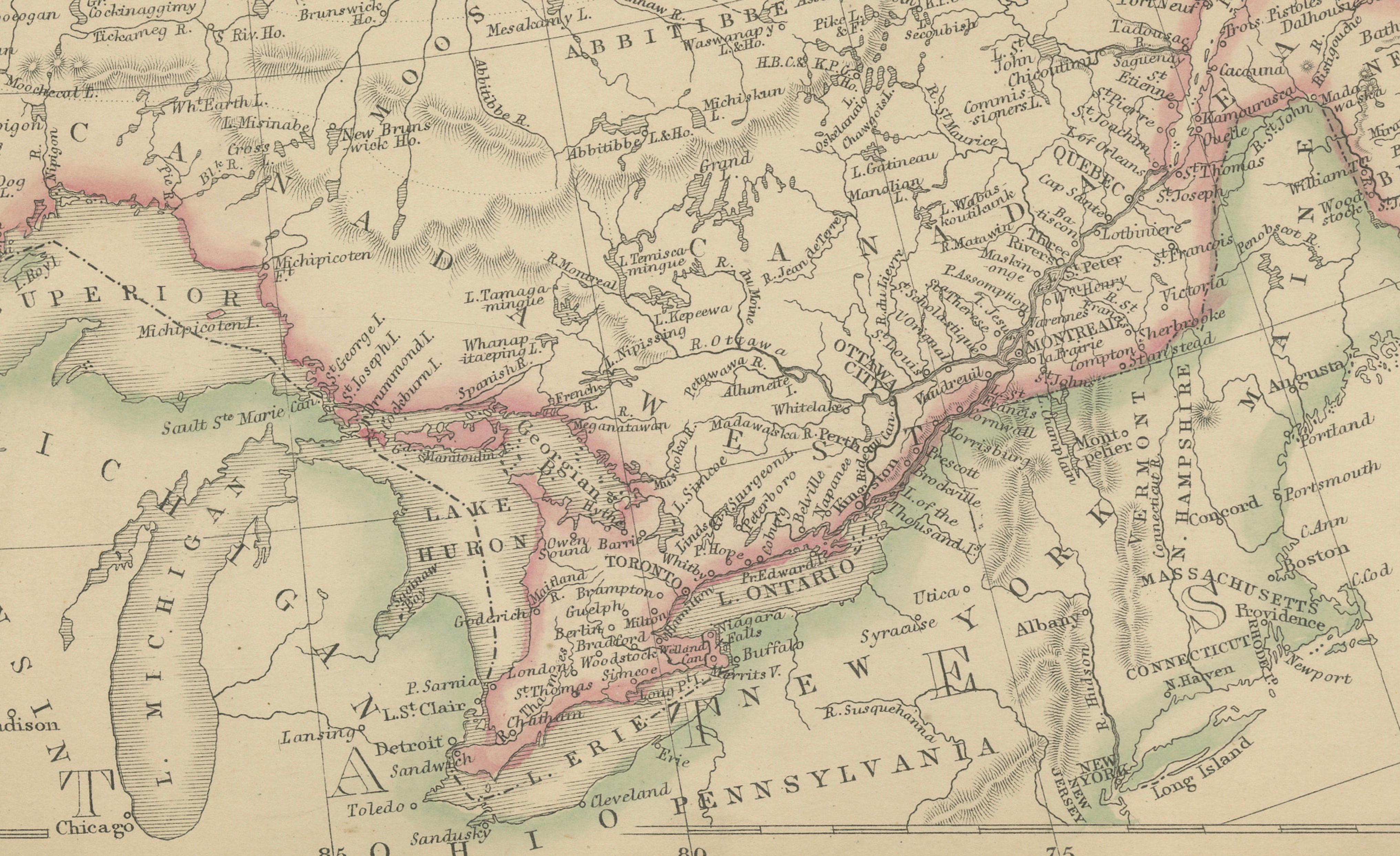
This impressive large-format map of British North America was published by W. G. Blackie of Scotland around 1860 and provides a remarkable overview of the vast territories that would soon form modern Canada. Produced just a few years before Confederation in 1867, the map captures British North America at a pivotal moment in its history, when much of the continent remained only partially explored and sparsely settled.
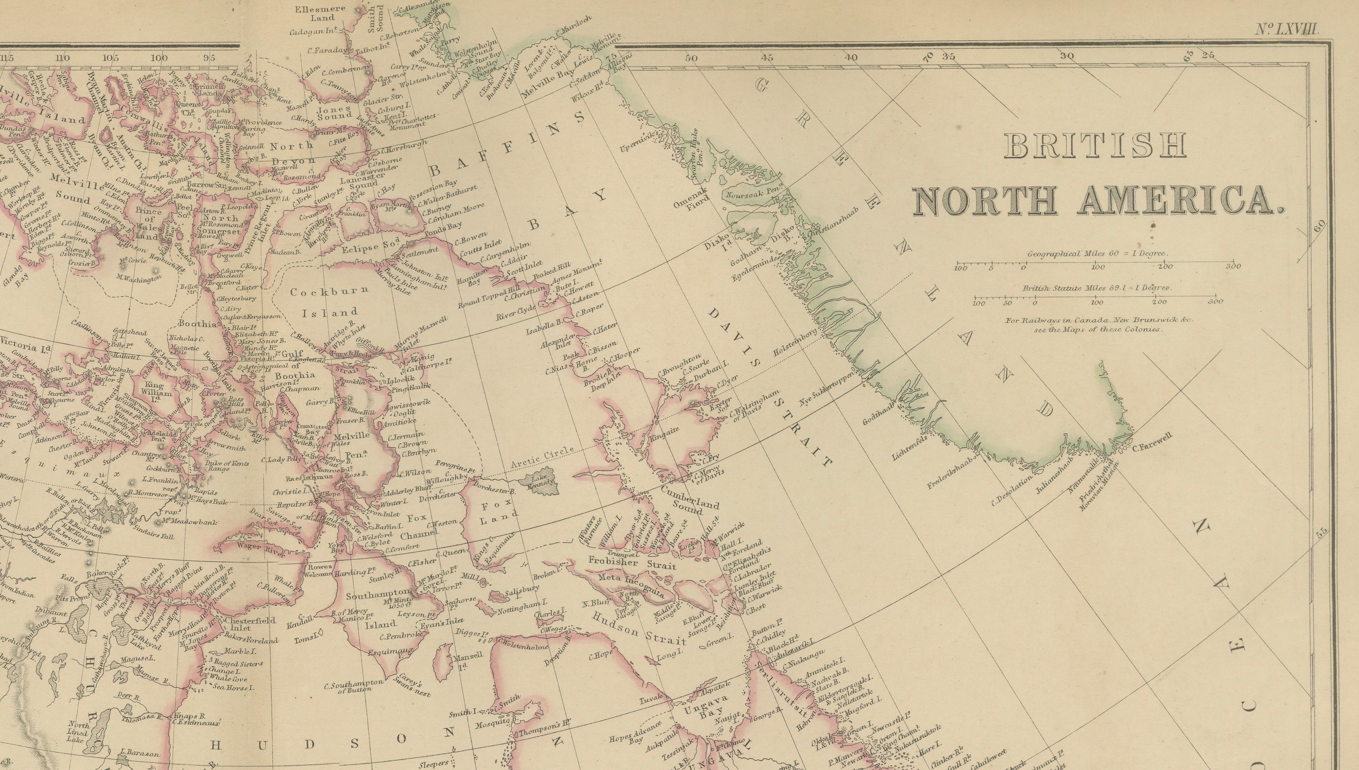
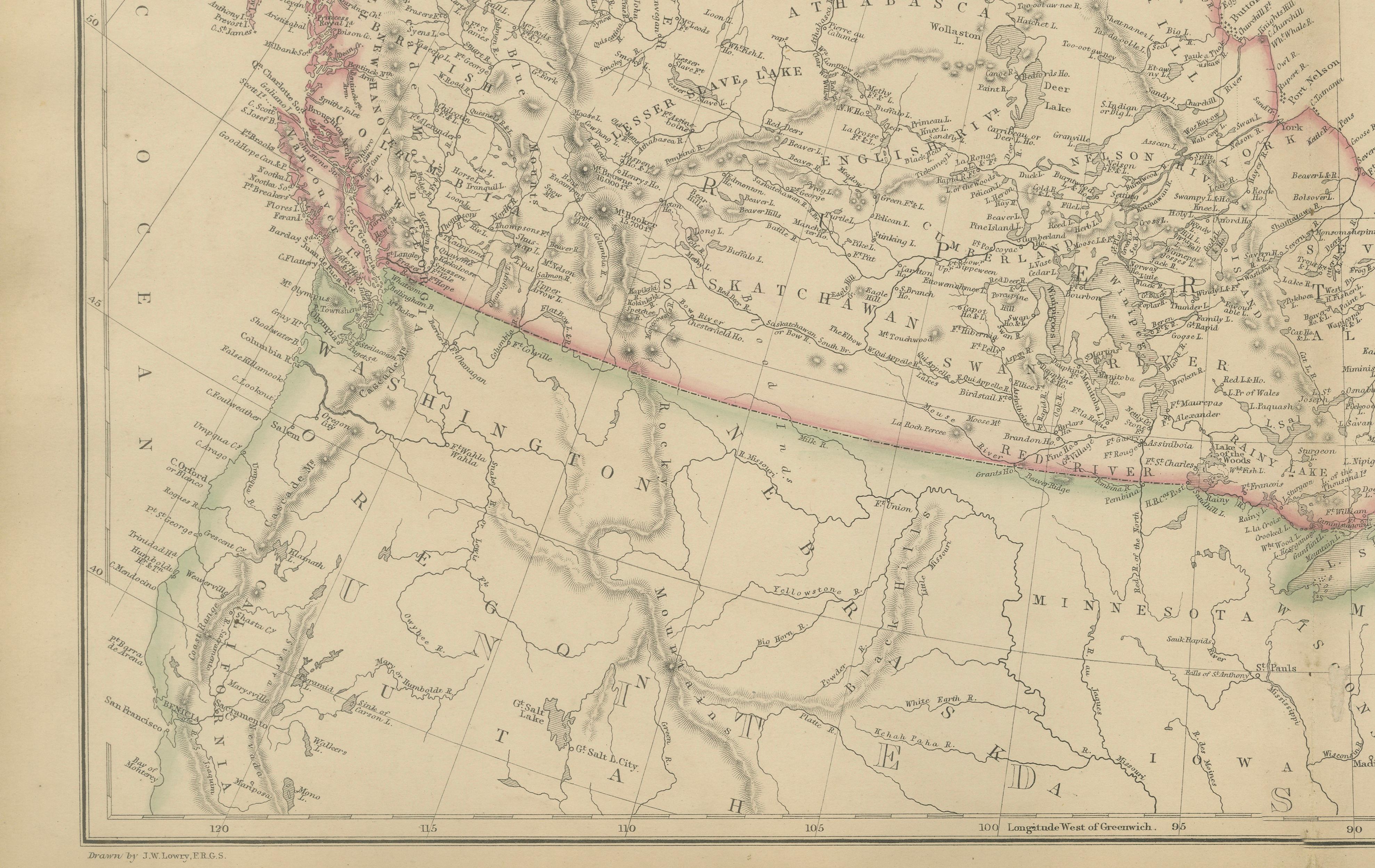
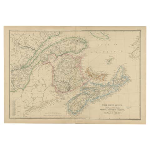
The map extends from the Pacific Coast of British Columbia to Newfoundland and Labrador, and from the Great Lakes to the Arctic Archipelago. It encompasses the colonies of Canada West and Canada East, New Brunswick, Nova Scotia, Prince Edward Island, Newfoundland, Vancouver Island, British Columbia, Rupert's Land, and the immense territories administered by the Hudson's Bay Company. The map also shows neighboring parts of the United States, Alaska (then Russian Territory), Greenland, and the Arctic regions.
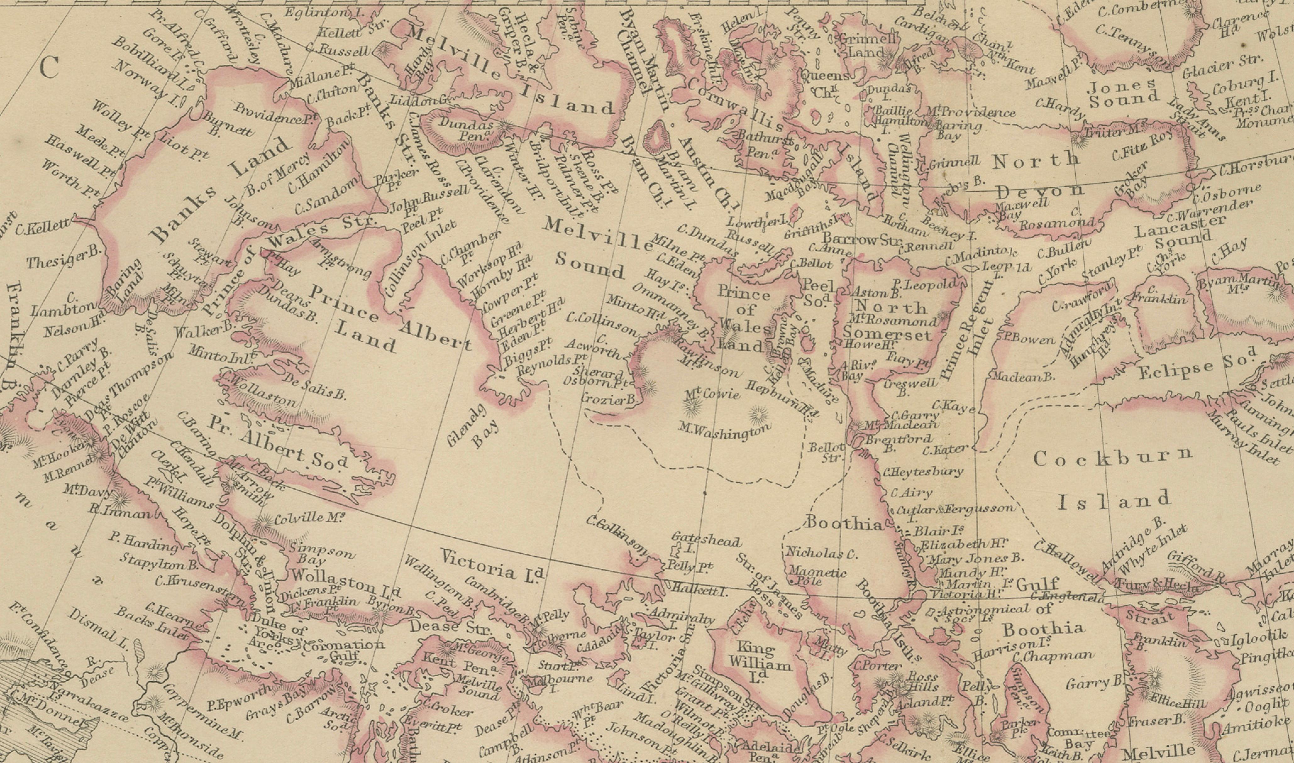
Particularly striking is the detailed depiction of Hudson Bay and the Canadian Arctic Archipelago. Numerous islands, channels, straits, and exploration routes reflect the intense nineteenth-century interest in discovering the Northwest Passage. The map includes many locations associated with Arctic exploration, making it an important document of the era's geographical knowledge.
The western regions reveal the early development of British Columbia and Vancouver Island during the years following the Fraser River Gold Rush. Across the interior, vast territories such as Athabasca, Saskatchewan, Assiniboia, and Rupert's Land are shown with rivers, lakes, trading posts, indigenous territories, and emerging transportation routes. These regions would later become the foundation of Canada's Prairie Provinces.
Original hand coloring highlights colonial boundaries and territorial divisions, while the delicate copper engraving provides exceptional detail throughout. The combination of scientific accuracy and elegant Victorian design exemplifies the high standards of Blackie's celebrated atlas publications.
Maps depicting pre-Confederation Canada are increasingly sought after by collectors of Canadian history, Arctic exploration, indigenous history, colonial studies, genealogy, and antique cartography. This example offers both historical significance and decorative appeal, making it an excellent centerpiece for a collection, office, library, or Canadian interior.
Condition report: Good antique condition with age-related toning and occasional light spotting consistent with a nineteenth-century map. Original hand coloring remains attractive. Please examine the images carefully for exact condition. A faint center fold, as issued, is present.
Framing tips: This map displays beautifully in a dark walnut, ebonized, or museum-black frame with a generous warm ivory mat. A subtle gilt liner can further enhance the original hand coloring and emphasize the map's impressive scale.
Technique: Copper engraving with original hand coloring
Maker: W. G. Blackie, Scotland, 1860
This is an original 19th-century copperplate engraving, printed at the time. It is not a modern reproduction. Any images showing the print framed are for presentation purposes only. The map is supplied unframed.
Keywords: British North America, Canada, Pre-Confederation Canada, Hudson Bay, Hudson's Bay Company, Rupert's Land, British Columbia, Vancouver Island, Victoria, New Westminster, Fraser River, Columbia River, Vancouver, Canada West, Ontario, Canada East, Quebec, Montreal, Quebec City, Ottawa, Toronto, Kingston, Lake Ontario, Lake Erie, Lake Huron, Lake Superior, Georgian Bay, Manitoba, Saskatchewan, Athabasca, Assiniboia, Red River Settlement, Winnipeg, Red River, Saskatchewan River, Mackenzie River, Great Slave Lake, Great Bear Lake, Churchill River, Arctic Ocean, Baffin Bay, Baffin Island, Ellesmere Island, Melville Island, Victoria Island, Prince of Wales Island, Boothia, Lancaster Sound, Parry Channel, Northwest Passage, Labrador, Newfoundland, St John's, Nova Scotia, Halifax, New Brunswick, Prince Edward Island, Greenland, Alaska, Russian America, Pacific Coast, Arctic Exploration, Franklin Expedition, Canadian History, Colonial Canada, Hudson Bay Region, Antique Map, Hand-Colored Map, Copperplate Engraving, Blackie Atlas, Victorian Cartography, Scottish Cartography.