About this sheet
Rare French Colonial America Map, Jamaica Barbados Carolina, c.1719
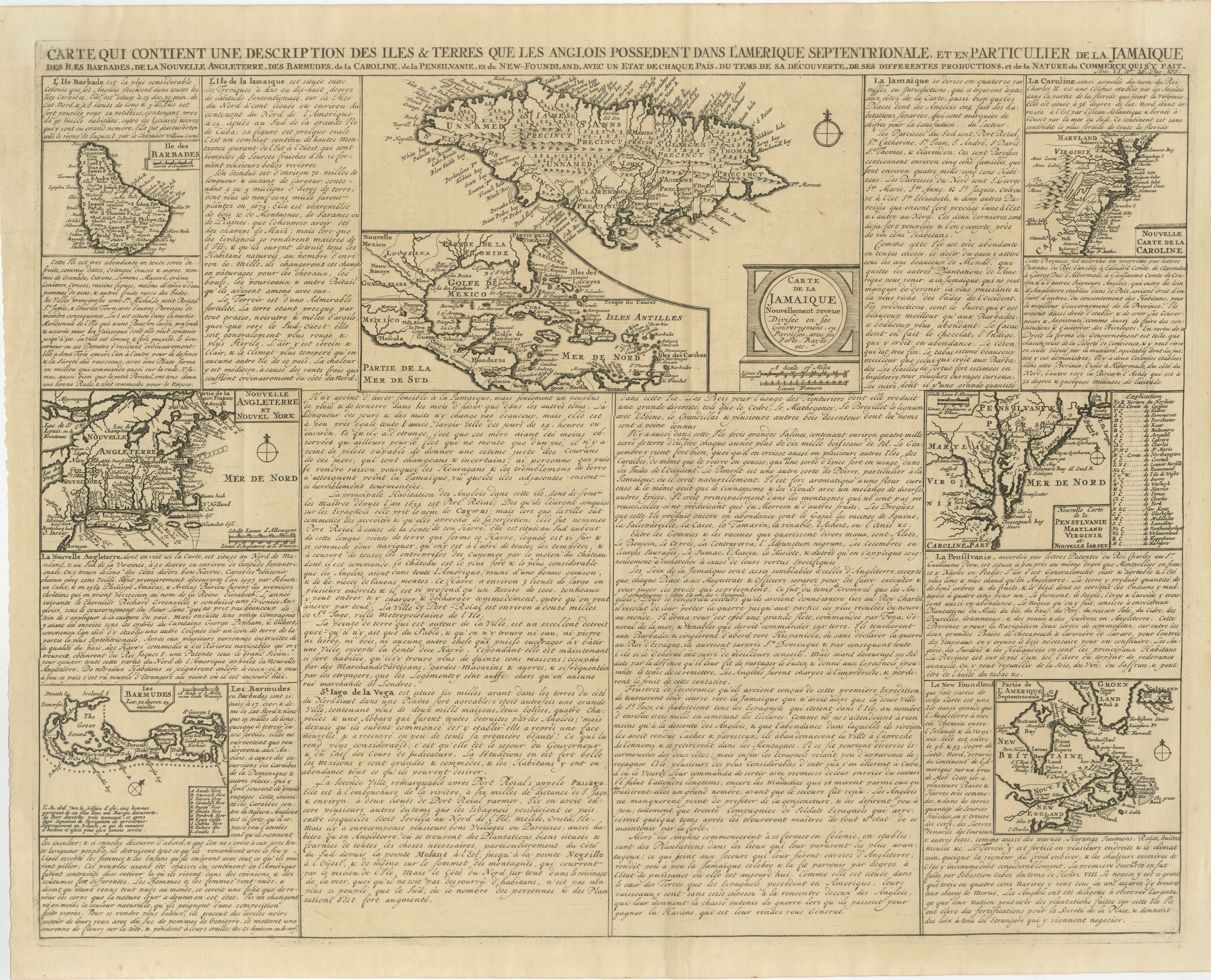
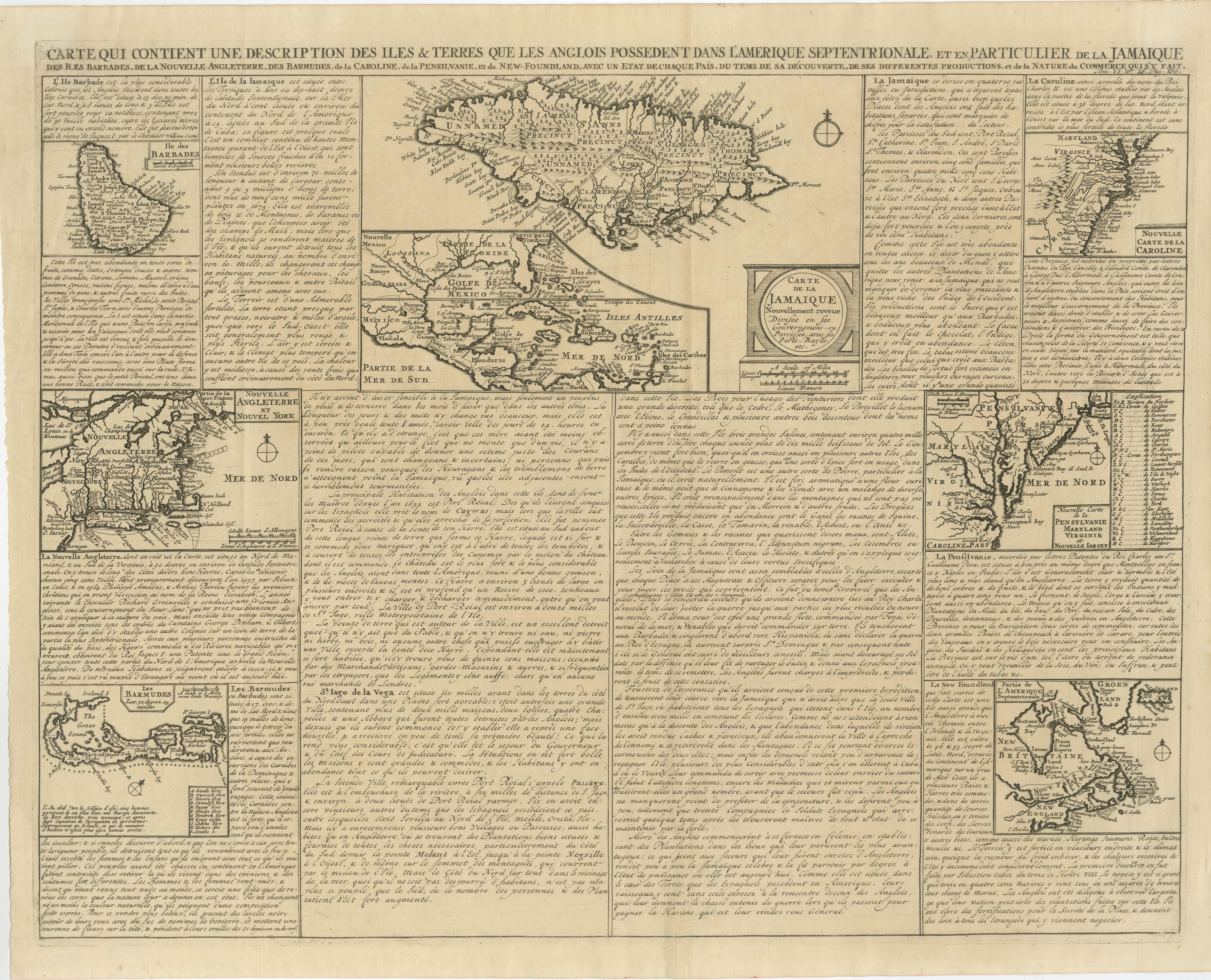
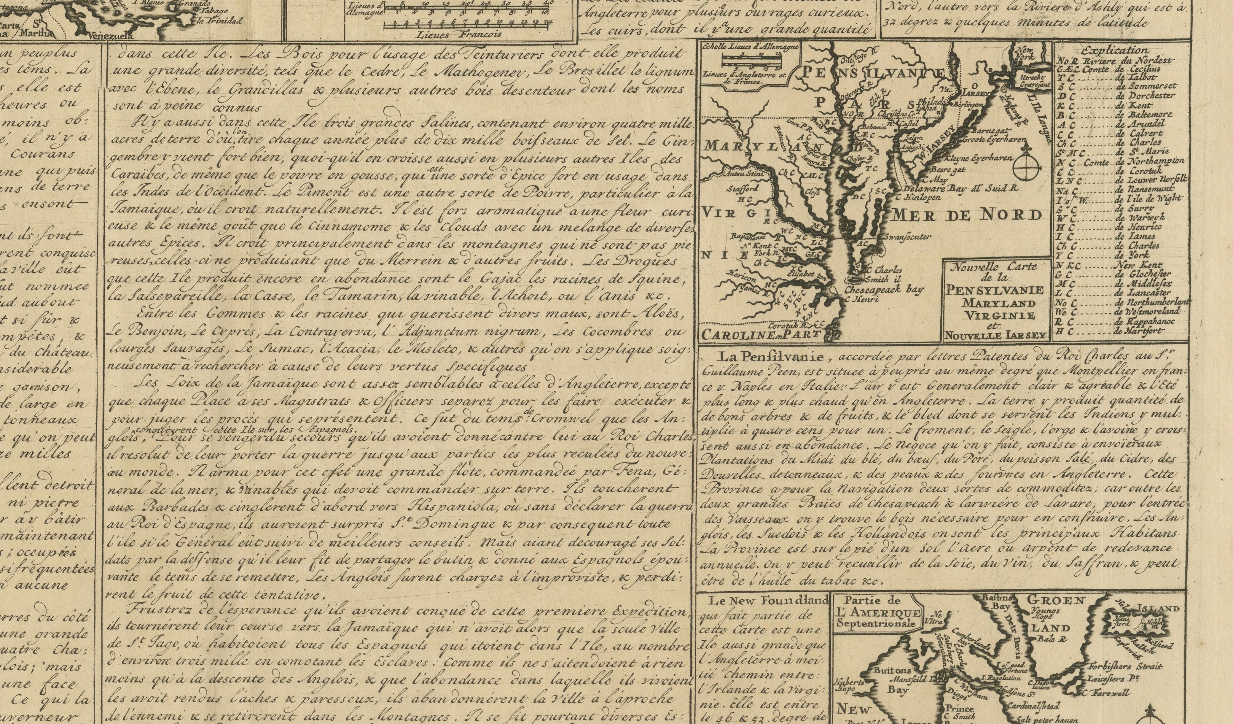
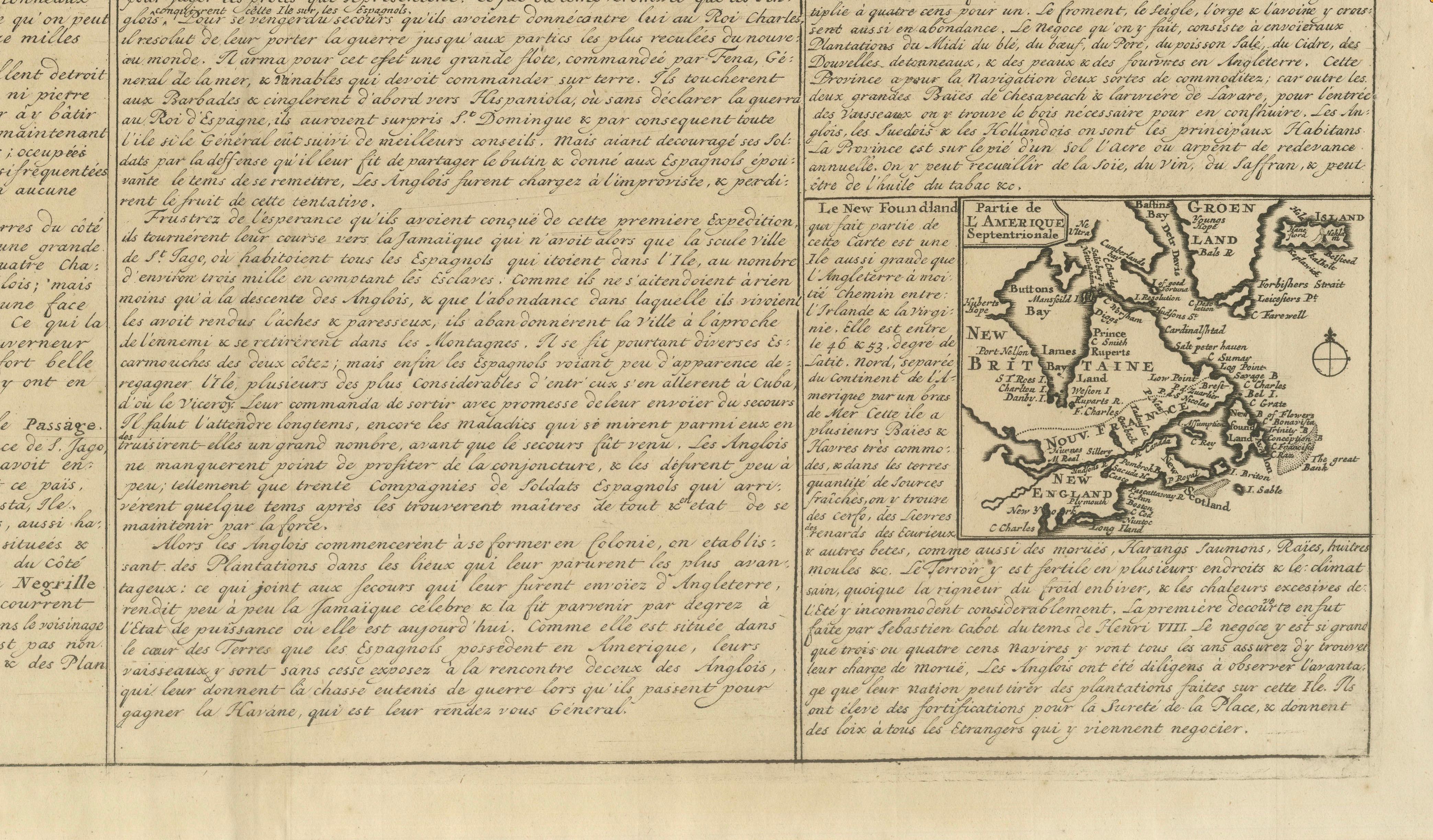
This remarkable and highly detailed early eighteenth-century French map presents a fascinating overview of the English colonial possessions in North America and the Caribbean during the formative decades of European expansion in the New World. Richly engraved and densely filled with descriptive French text, the sheet combines multiple regional maps with extensive commentary on geography, commerce, climate, agriculture, colonial administration, and indigenous populations.
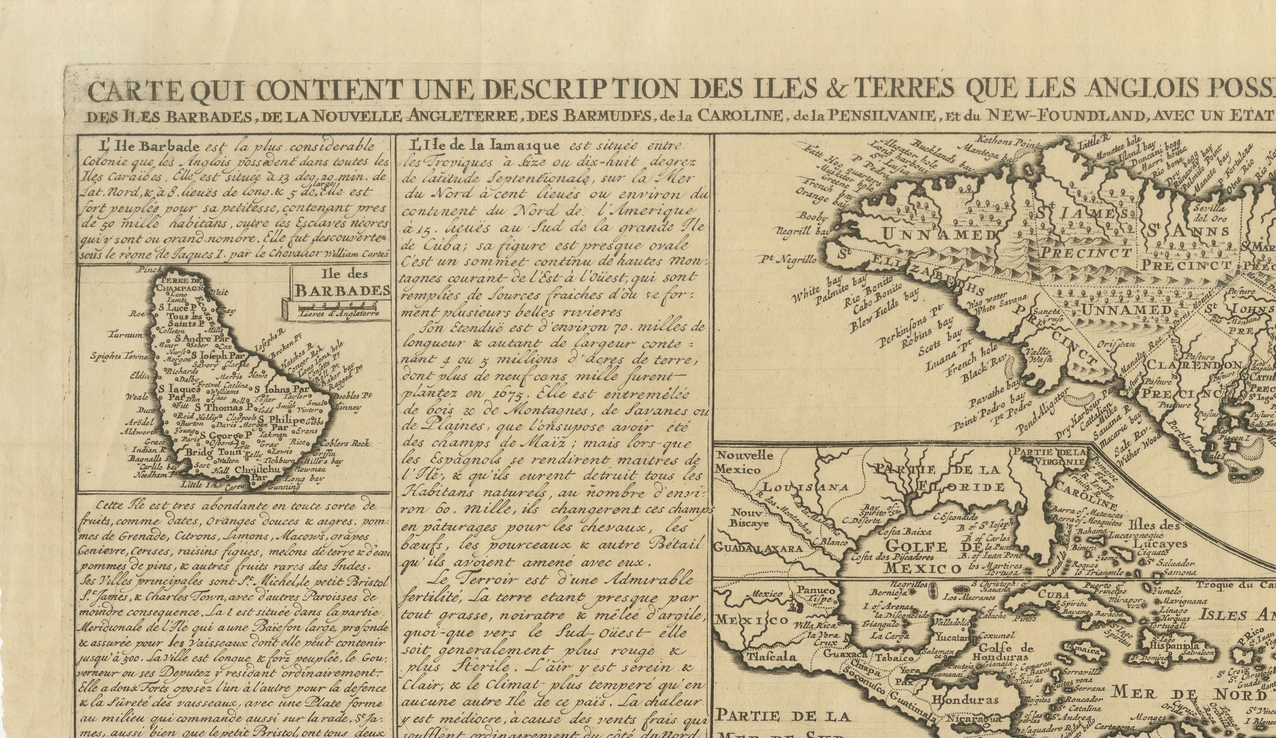
The large engraved title translates approximately as: “Map containing a description of the islands and lands possessed by the English in North America, particularly Jamaica, Barbados, New England, Bermuda, Carolina, Pennsylvania, and Newfoundland.” The work was intended not merely as a geographic reference, but also as an educational and commercial survey of England’s Atlantic empire.
The composition includes separately engraved maps of:
* Jamaica,
* Barbados,
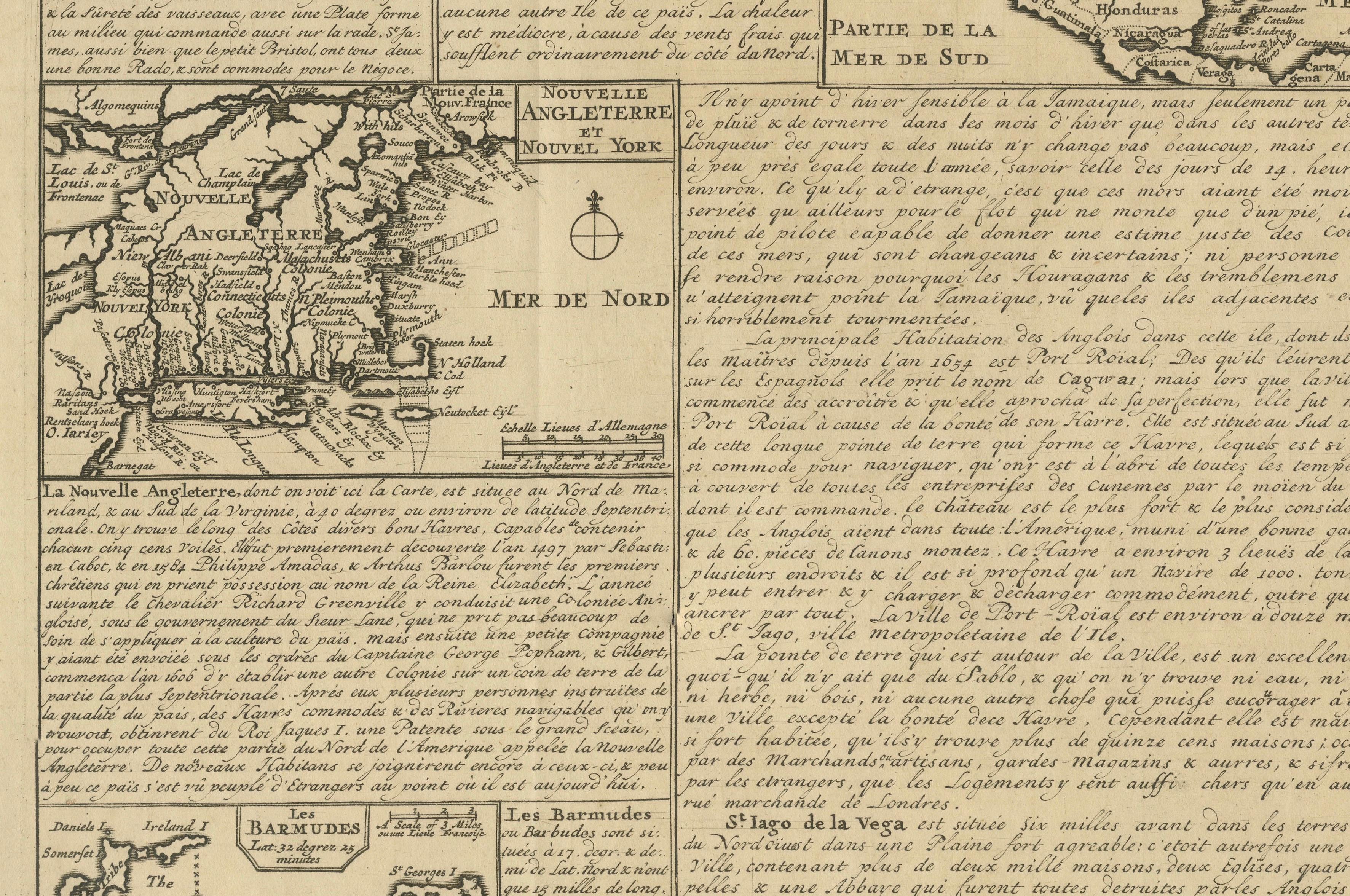
* New England,
* Carolina,
* Virginia,
* Pennsylvania,
* Bermuda,
* Newfoundland,
* and the broader Caribbean basin and Gulf of Mexico.
The map of Carolina is especially interesting, showing one of the earliest printed regional configurations of the English southern colonies. The New England section includes detailed coastal settlements and colonial divisions, while Jamaica and Barbados are represented as key plantation islands central to the Atlantic trade system.
Unlike many decorative maps of the period, this engraving functions almost as an Enlightenment-era geopolitical document. The extensive French text surrounding the maps discusses colonial resources, trade routes, sugar production, agriculture, navigation, population, and strategic importance. Such informational wall-sheet style engravings were highly valued among merchants, diplomats, and educated European audiences interested in overseas commerce and imperial rivalry.
The engraving style and typography strongly reflect the elegant French cartographic tradition of the early eighteenth century, likely connected to the circle of Parisian geographical publishers active during the Regency and early reign of Louis XV. The dense layout, combined with multiple inset maps and long explanatory texts, creates an impressive visual object with strong historical presence.
Today, maps relating to the early English colonies in America and the Caribbean are increasingly sought after by collectors interested in colonial history, Atlantic trade, maritime exploration, and the development of the future United States and Caribbean nations. This example is particularly desirable due to its broad geographic scope, rarity, and highly decorative scholarly appearance.
Special note: This is an original antique engraving, not a reproduction. All items we offer are authentic period works of art over 100 years old. The print is sold unframed; any framed images are shown for presentation and interior inspiration only and may not always be to scale with the original.
Condition report:
Good antique condition with age-related toning, fold lines, and occasional minor spotting consistent with early eighteenth-century paper. Strong engraved impression with attractive overall preservation. Minor marginal wear and handling marks consistent with age.
Framing tips:
This engraving displays exceptionally well in dark walnut, black lacquer, or lightly gilt frames with a wide ivory or oatmeal mat. Its scholarly appearance and intricate detail make it particularly suitable for libraries, studies, colonial interiors, map collections, or sophisticated gallery walls.
Technique: Copperplate engraving
Maker: French school cartographer and engraver, probably Paris, circa 1715–1725