About this sheet
Blaeu's Dombes, Lyonnais and Bresse, France – Original 1642 Map
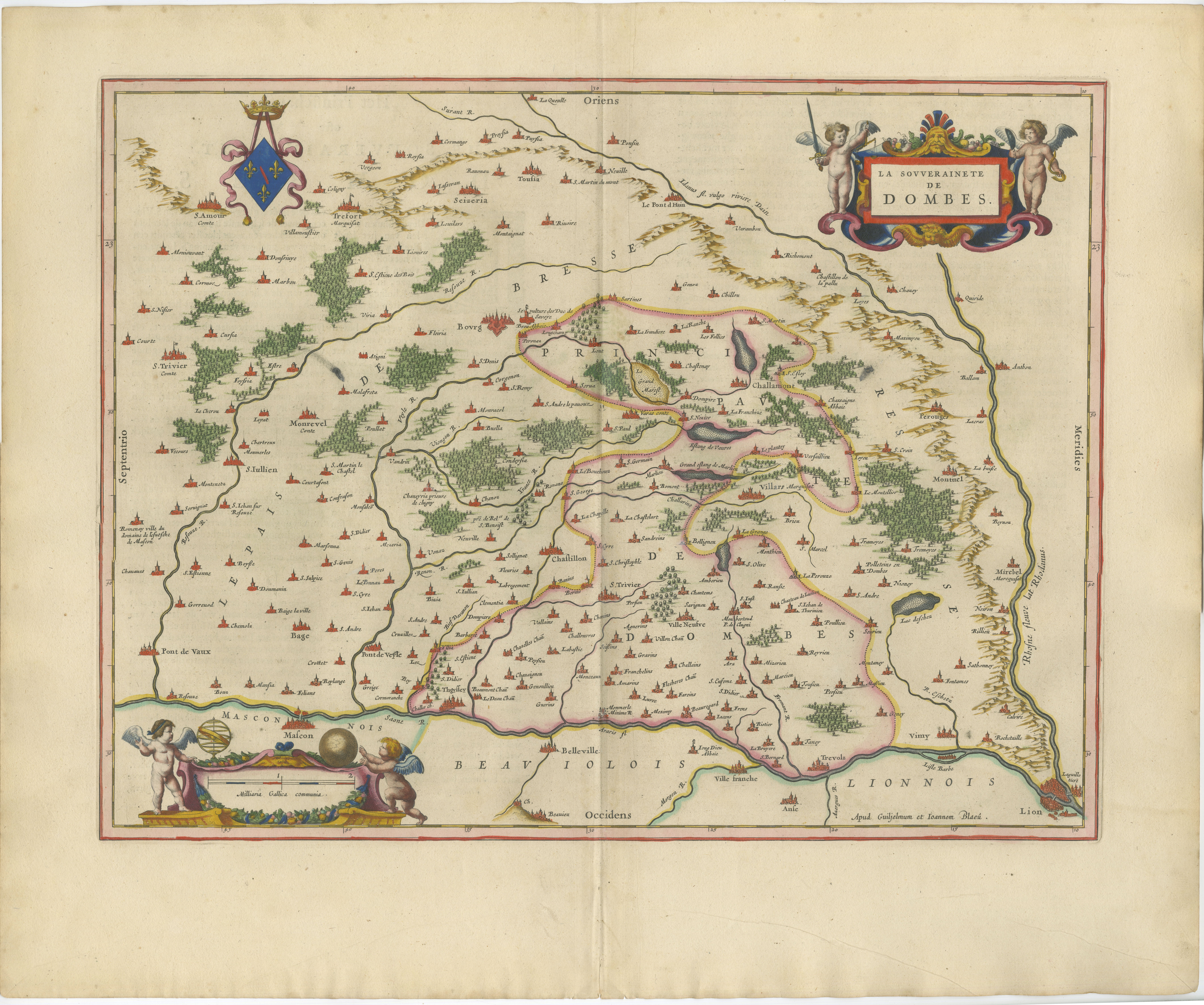
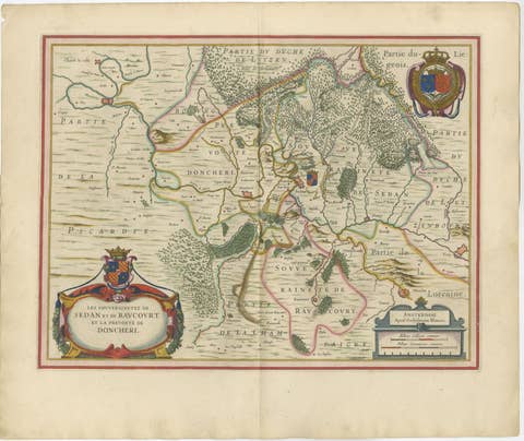
This finely engraved and beautifully hand-colored map depicts the historic Sovereignty of Dombes (La Souveraineté de Dombes), a small but important principality situated between Lyon, Bresse, Beaujolais, and Burgundy in eastern France. Produced by the renowned Dutch cartographer Willem Janszoon Blaeu around 1642, the map reflects the extraordinary craftsmanship that made the Blaeu family the foremost mapmakers of the Dutch Golden Age.
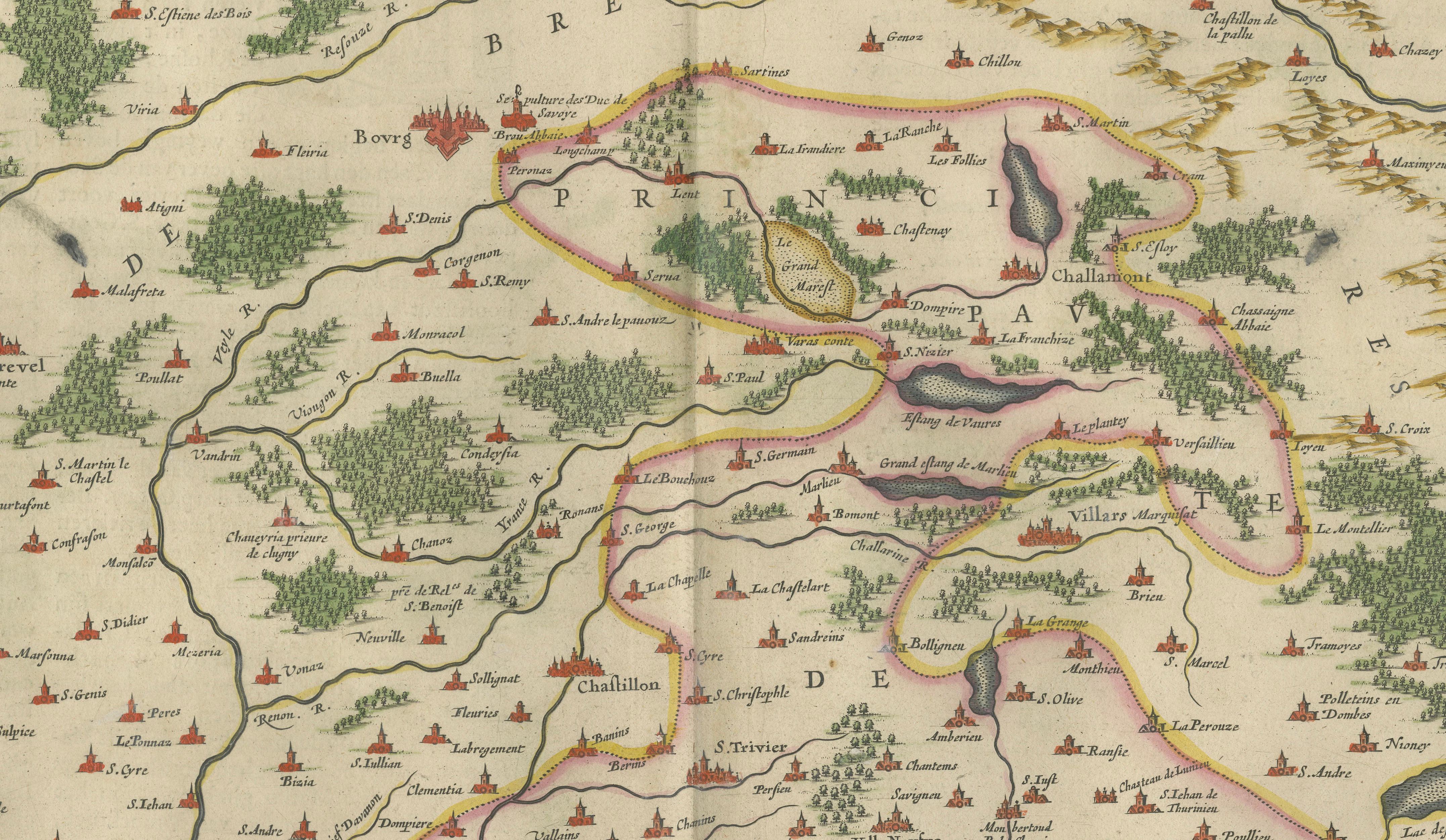
The map presents Dombes in remarkable detail, showing its towns, villages, forests, rivers, lakes, and surrounding provinces. A network of settlements is carefully engraved across the landscape, while the region's many ponds and waterways—characteristic features of Dombes—are prominently represented. The borders of the sovereignty are highlighted in contemporary hand color, allowing the territory to stand out clearly from neighboring regions including Bresse, Lyonnais, Beaujolais, and Burgundy.
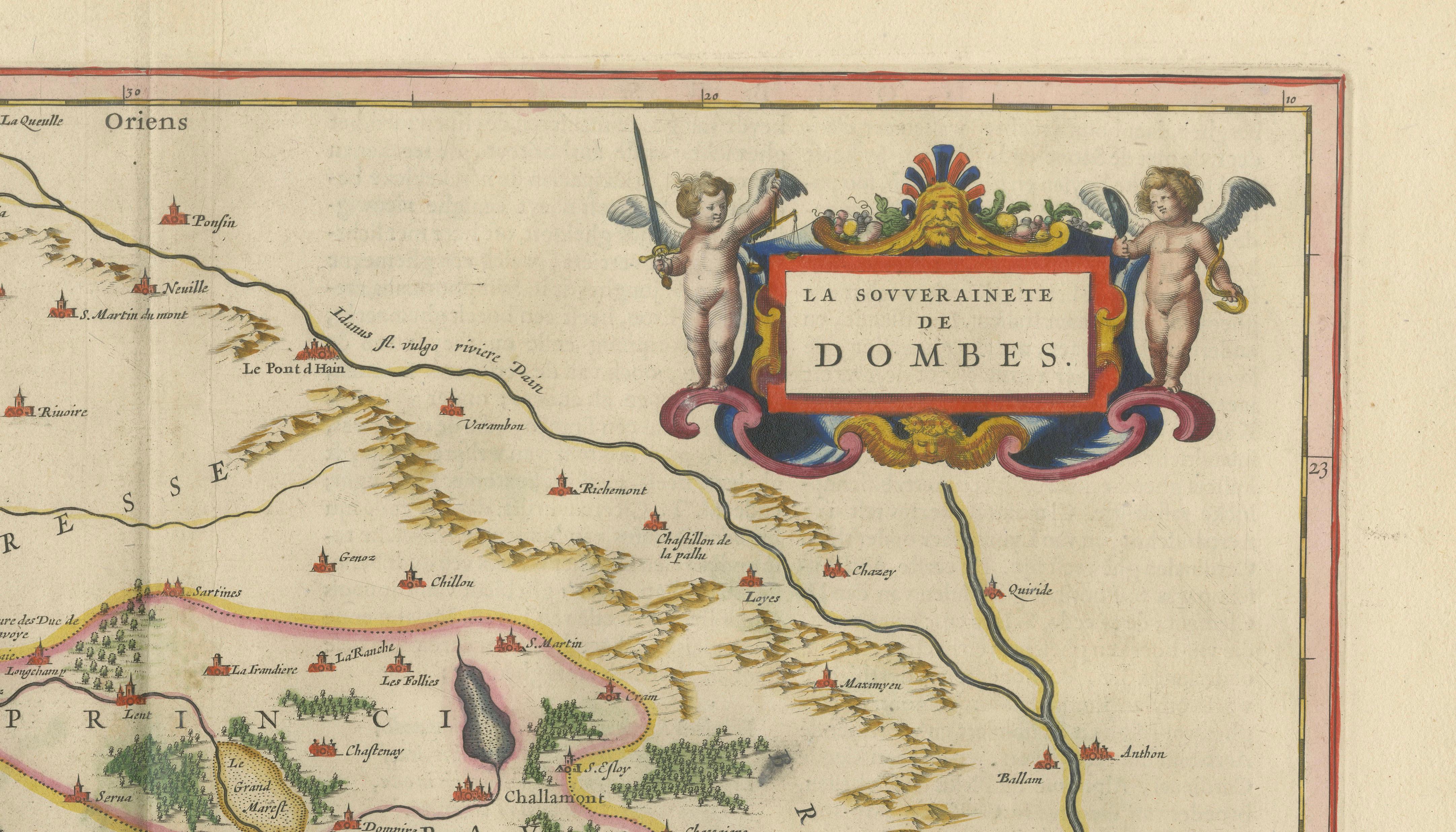
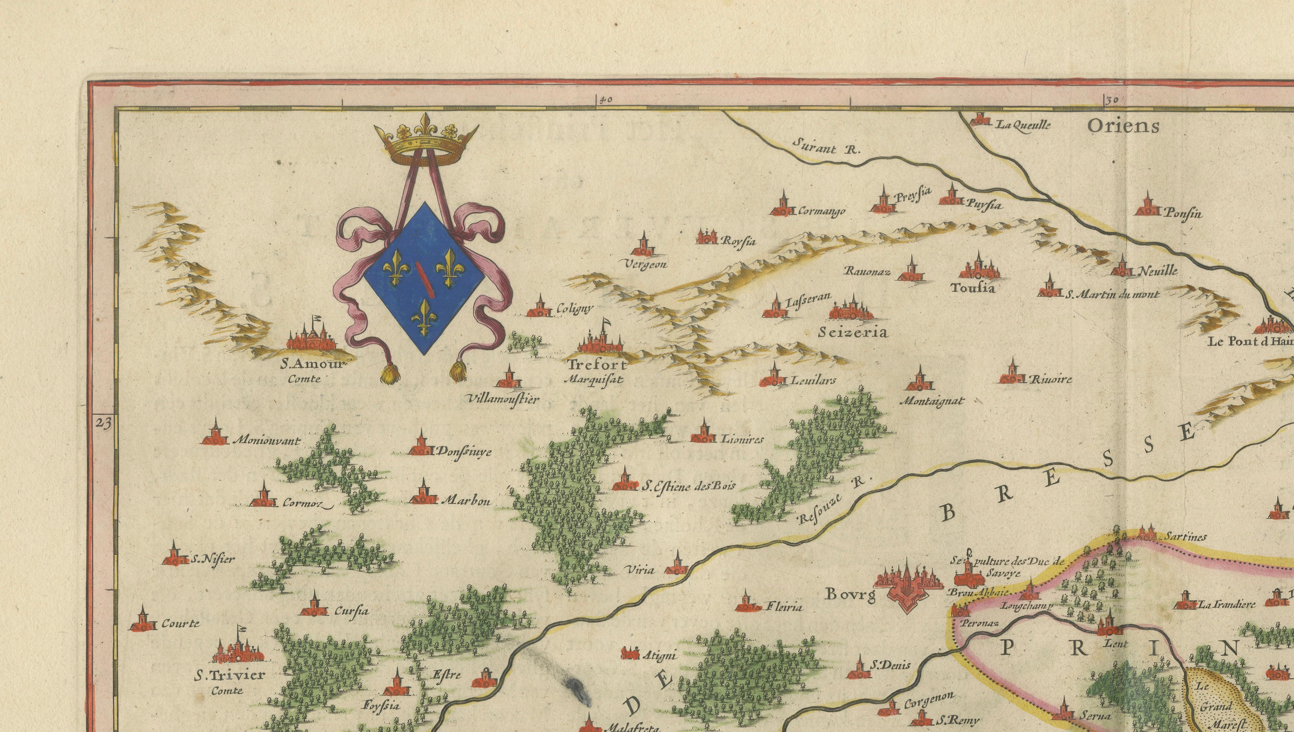
Decorative elements include an elegant title cartouche adorned with putti in the upper right corner and a finely engraved coat of arms in the upper left. The restrained yet sophisticated ornamentation exemplifies Blaeu's ability to combine geographic precision with artistic refinement. The map was issued during a period when the Dutch Republic dominated the European map trade, and it formed part of Blaeu's celebrated atlas publications, regarded among the greatest achievements of seventeenth-century cartography.
Willem Janszoon Blaeu (1571–1638) was one of the most influential cartographers, publishers, and globe makers of his era. His atlases set new standards for accuracy, engraving quality, and decorative elegance. Following his death, the firm continued under the direction of his sons, producing some of the most admired maps ever published.
Today, Blaeu maps are among the most sought-after works in early cartography, prized for their balance of accuracy, elegance, and decorative sophistication. This example would make a superb addition to any collection of French regional maps, Dutch Golden Age cartography, or seventeenth-century decorative prints, while also serving as a striking focal point in a refined interior.
Condition report: Original centerfold as issued. Light age-related toning and occasional minor spotting consistent with age. Attractive original hand color. Wide margins. Please study the image carefully for a detailed impression of the condition.
Framing tips: This map displays beautifully in a dark walnut, ebonized, or museum-black frame with a wide warm ivory mat. A thin gilt liner can further enhance the hand coloring and decorative cartouches while maintaining a sophisticated seventeenth-century appearance.
Technique: Copperplate engraving
Maker: Willem Janszoon Blaeu, Amsterdam, c.1642
This example is an original 17th-century copperplate engraving. It is not a modern reproduction. Any images showing the print framed are for visual inspiration only. The map is supplied unframed.
Keywords: Dombes, La Souveraineté de Dombes, Bresse, Bourgogne, Burgundy, Lyonnais, Beaujolais, Lyon, Mâcon, Villefranche, Châtillon-sur-Chalaronne, Trévoux, Pont de Veyle, Pont de Vaux, Ain River, Saône River, France, French provinces, Eastern France, Willem Blaeu, Blaeu Atlas, Dutch Golden Age cartography, 17th-century map, antique map, French regional map.