About this sheet
Blaeu Map of Île-de-France – Paris Region with Royal Arms, c.1642
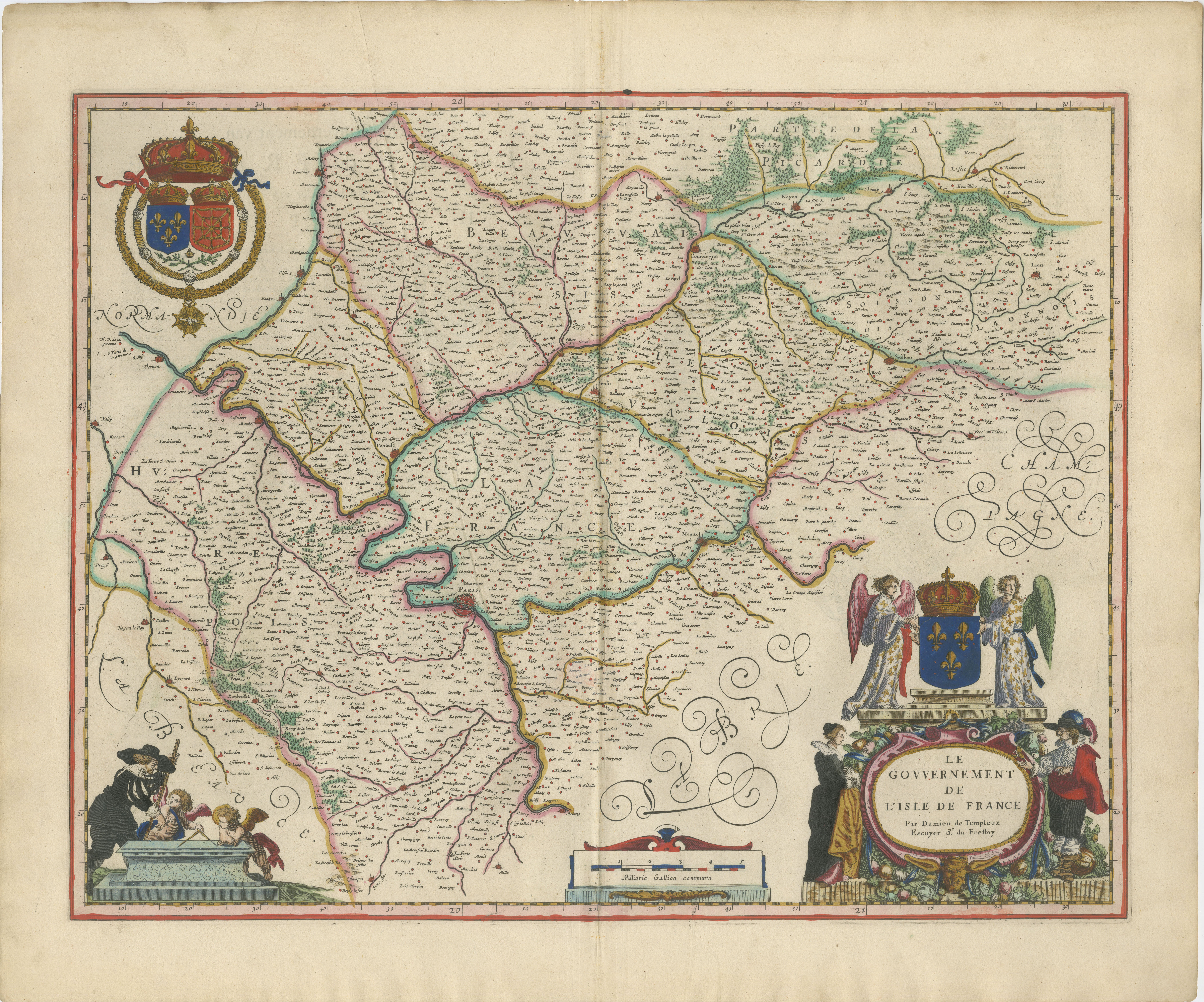
A richly detailed and highly decorative 17th-century map of the Île-de-France region, centered on Paris, published by Willem and Joan Blaeu in Amsterdam around 1642. This exceptional copperplate engraving originates from Blaeu’s celebrated Toonneel des Aerdrycx, one of the finest atlases of the Dutch Golden Age.
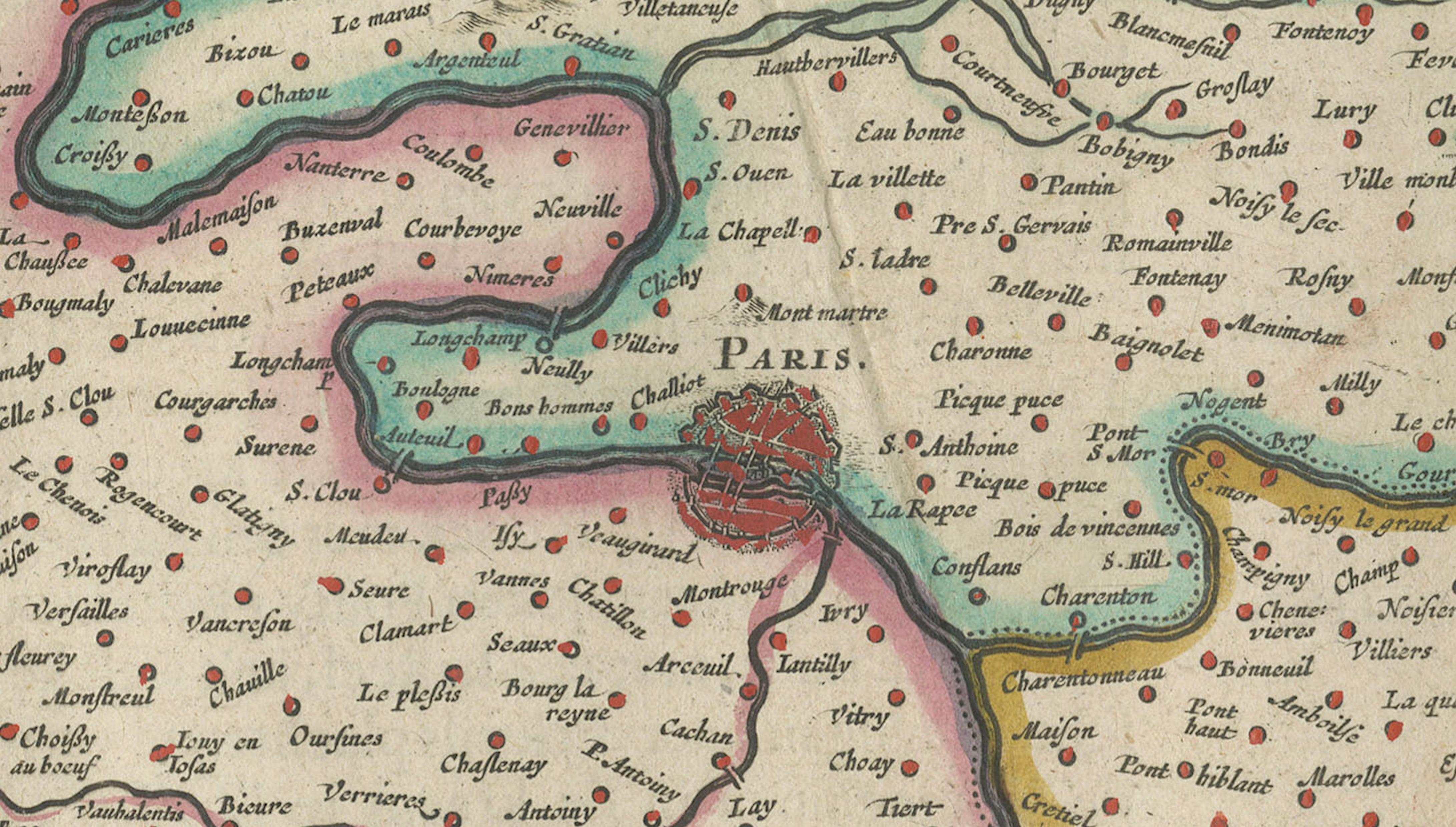
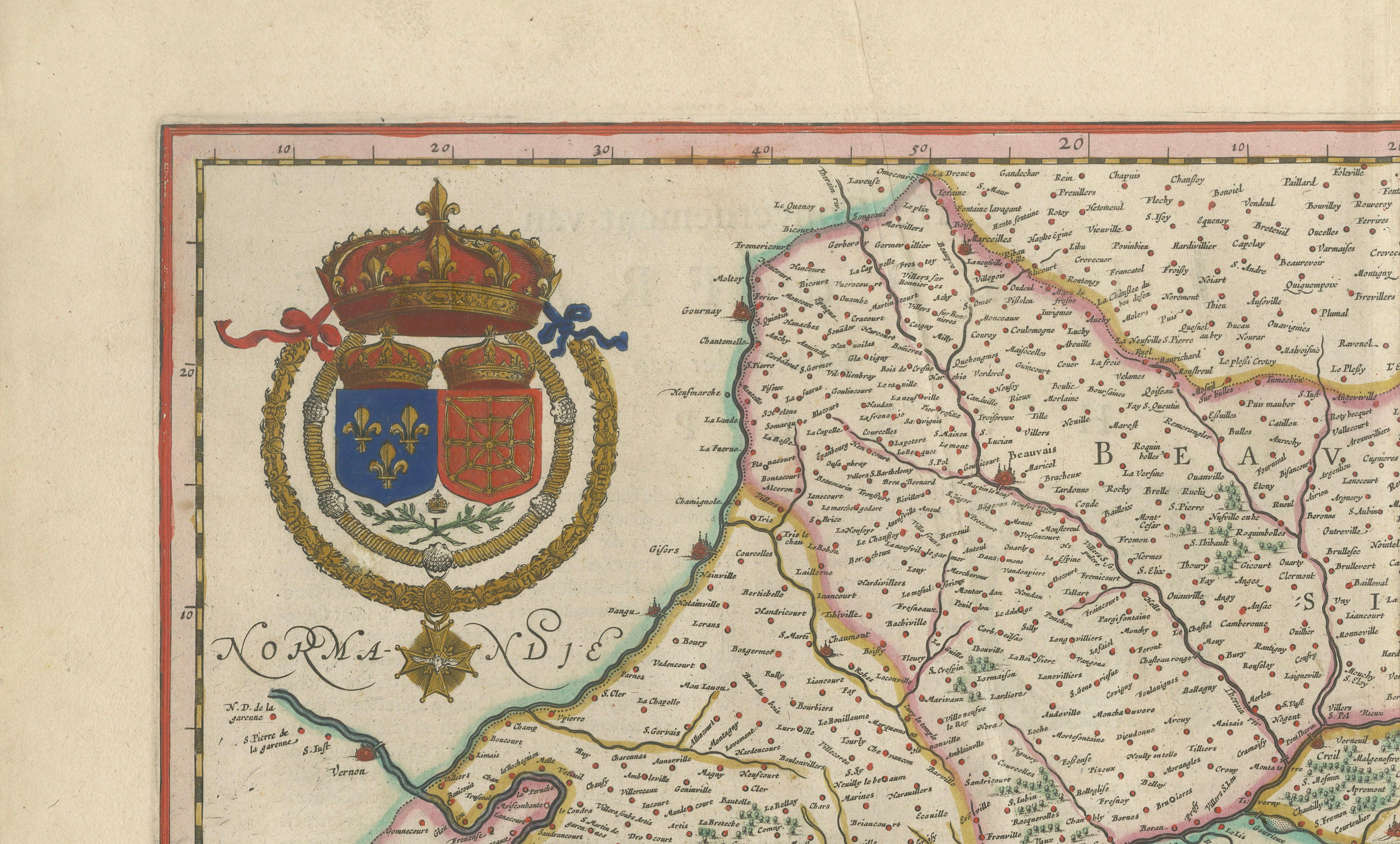
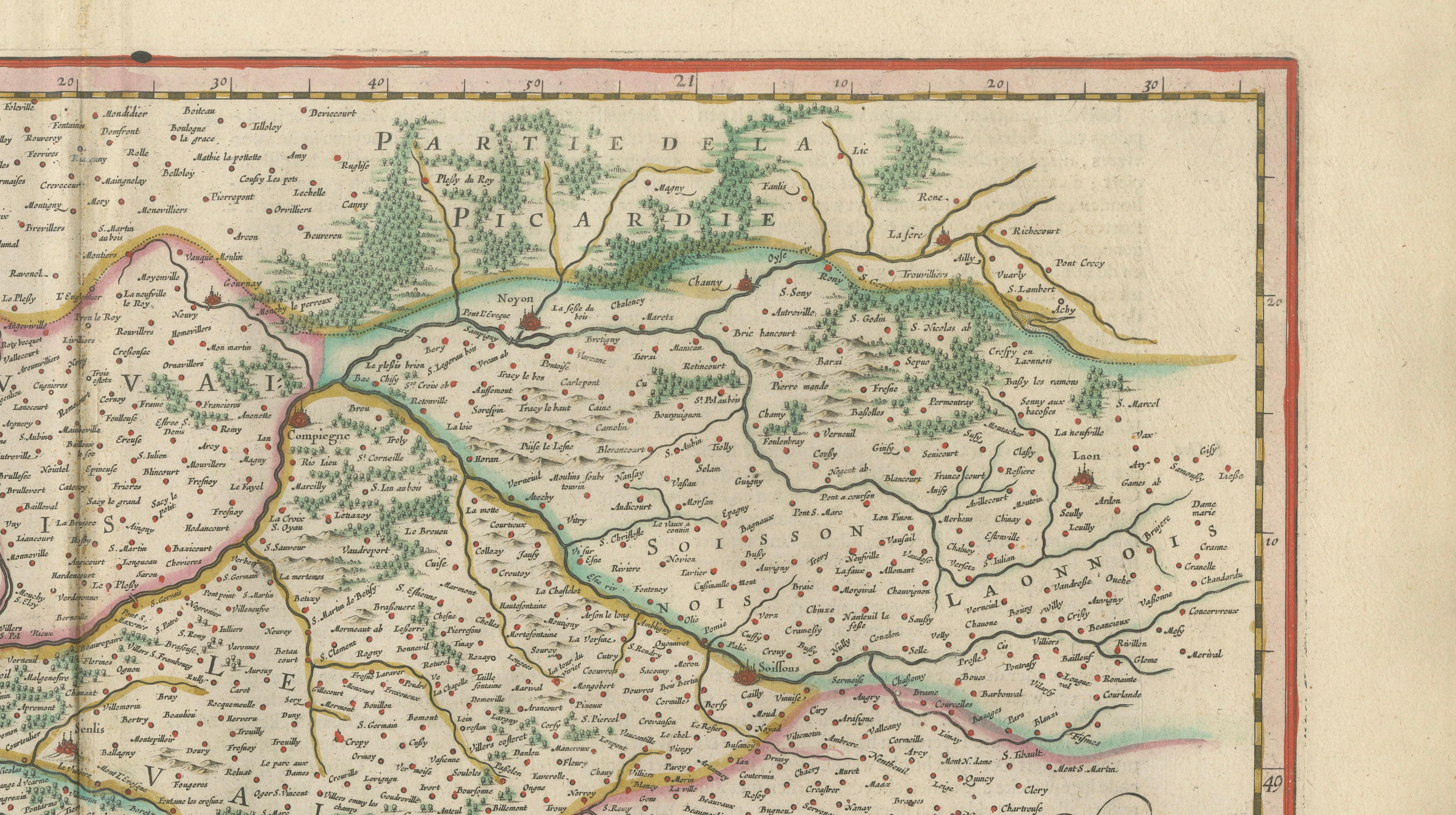
The map presents the historic heartland of France in remarkable detail, with Paris prominently situated along the Seine and surrounded by an intricate network of towns, villages, rivers, and roads. Regional boundaries are carefully outlined and enhanced with original hand coloring, giving clarity to the geography while preserving the elegance of the engraving.
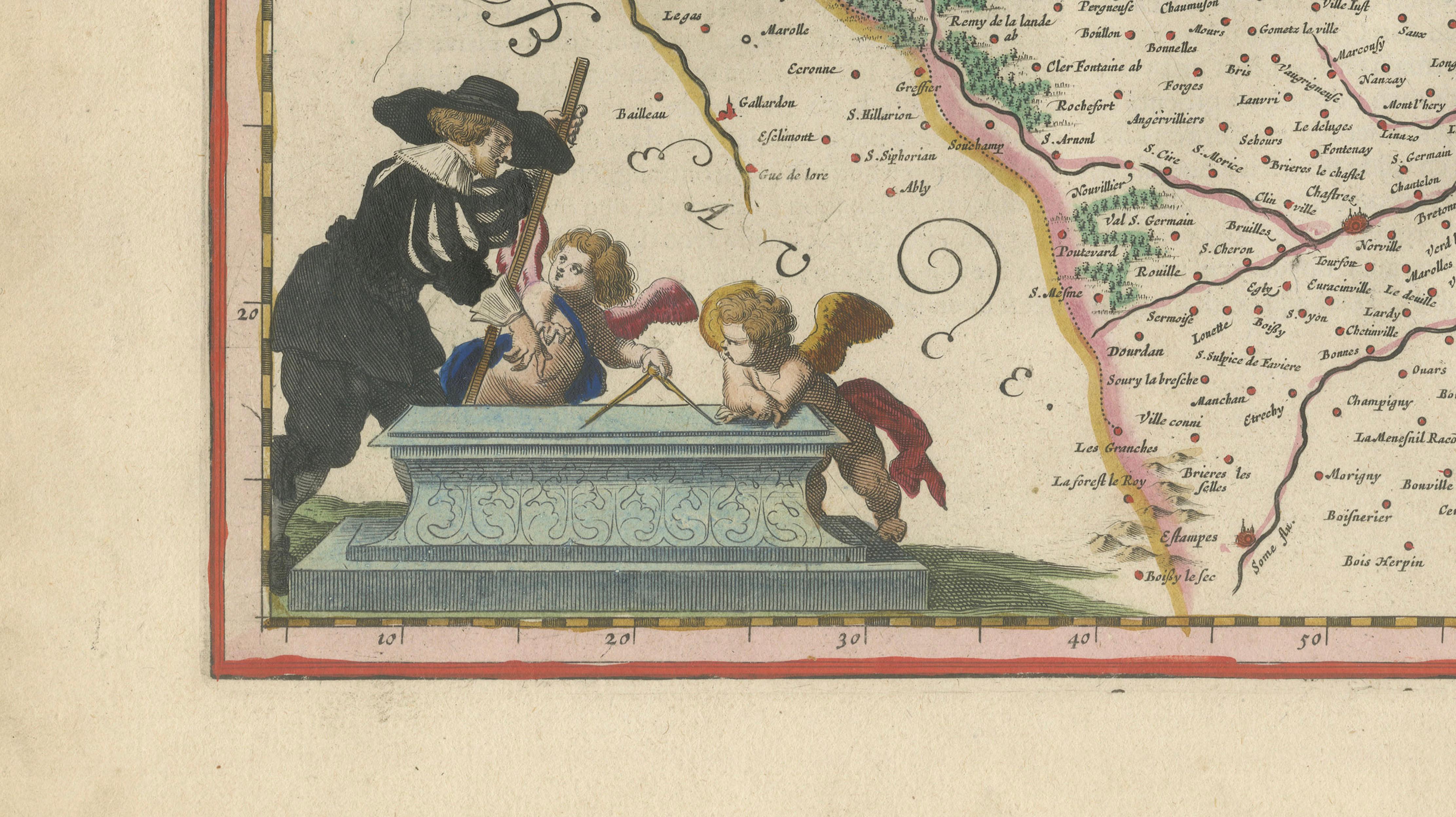
What sets this example apart is its outstanding decorative program. The upper left features a finely rendered royal coat of arms, while the lower right displays an elaborate cartouche flanked by allegorical figures and heraldic elements, emphasizing the political and cultural importance of the region. Additional ornamental figures and scrollwork enhance the composition, making this map not only a geographical document but also a work of art.
Blaeu’s maps are renowned for their precision, aesthetic balance, and craftsmanship. Produced at the height of Amsterdam’s cartographic dominance, they were prized by scholars and collectors alike. Today, this map remains highly desirable for its combination of historical significance, visual richness, and strong decorative appeal.
This piece is particularly suited for collectors of French history, Paris-related material, or those seeking a striking and refined antique map for interior display.
Condition:
Very good condition for its age. Original hand coloring. Central fold as issued. Light age toning and minor handling wear to the margins. Paper remains strong and well-preserved.
Framing tips:
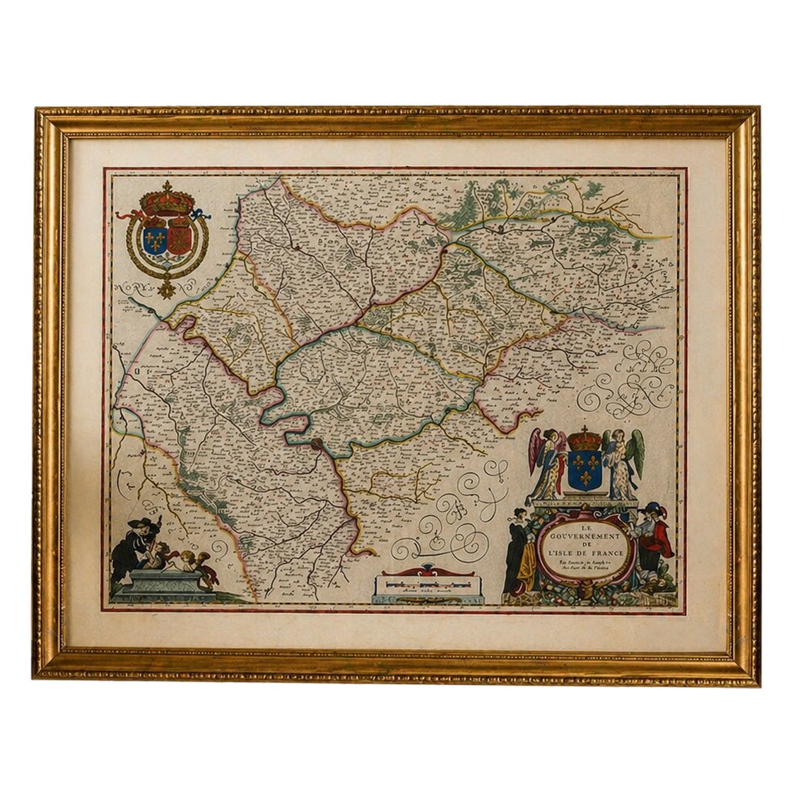
This map benefits from a classic presentation in a dark walnut or ebonized frame with a wide ivory or cream mat, highlighting the warm tones and intricate details. For a lighter, more contemporary look, a thin black or dark bronze frame with a crisp off-white mat provides a clean and elegant museum-style effect.
Keywords:
Paris map, Île-de-France, Blaeu map, Willem Blaeu, Joan Blaeu, French map, France map, Paris region, Seine river, antique map, 17th century map, Dutch Golden Age, Toonneel des Aerdrycx, copperplate engraving, hand colored map, decorative map, historical map, European map, collectible map, cartouche, heraldry, royal coat of arms, Paris antique map, France antique map
Special note: This is an original 17th-century map, not a reproduction. All items we offer are authentic period works of art over 100 years old. The map is sold unframed; any framed images are shown for presentation and interior inspiration only and may not always be on scale with the original.
Technique: Copperplate engraving with original hand-coloring
Maker: Willem & Joan Blaeu, Amsterdam, c.1642