About this sheet
Suriname, Curaçao & Dutch Guinea – Jacob Kuyper Colonial Atlas Map, 1882
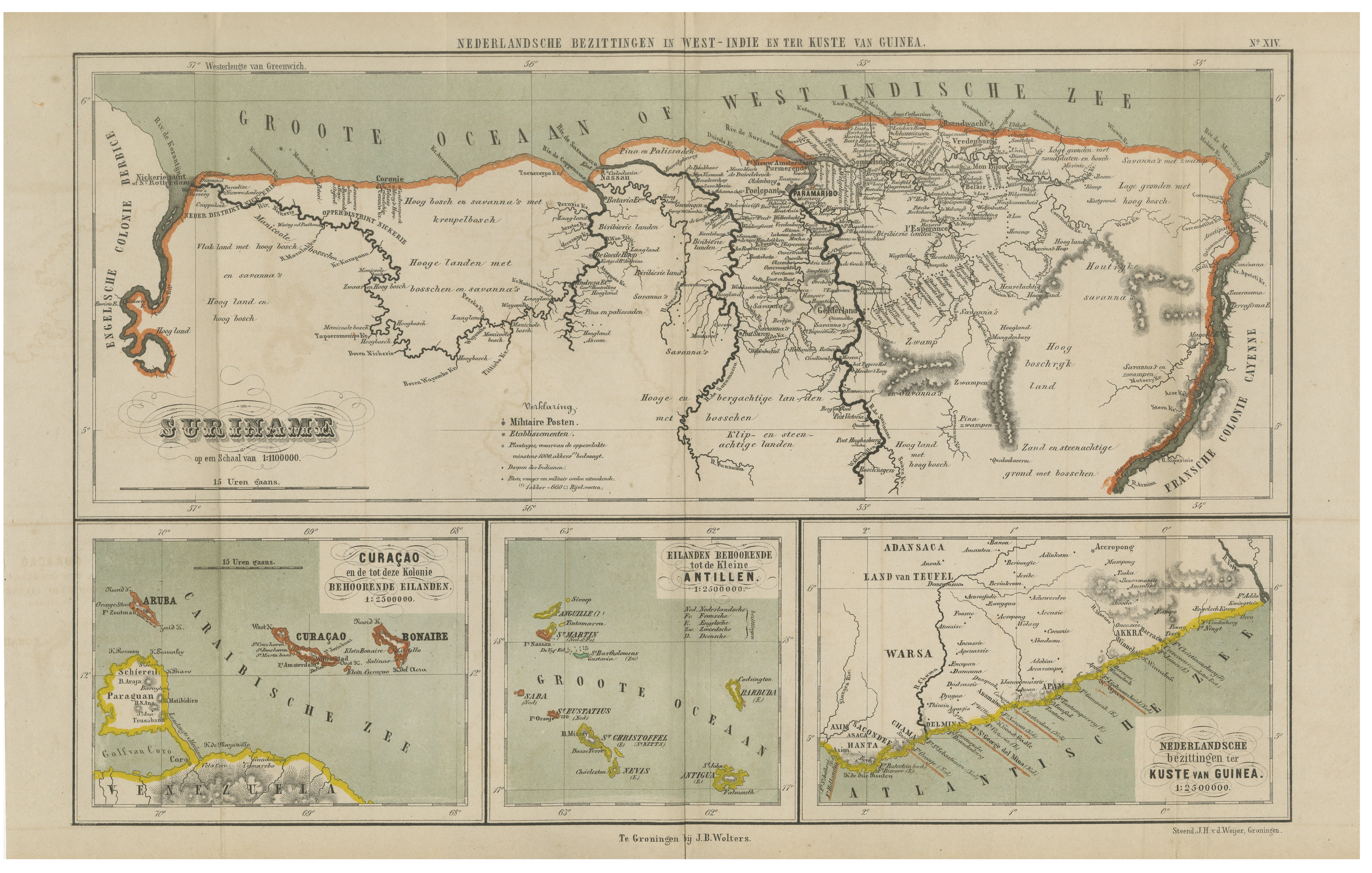
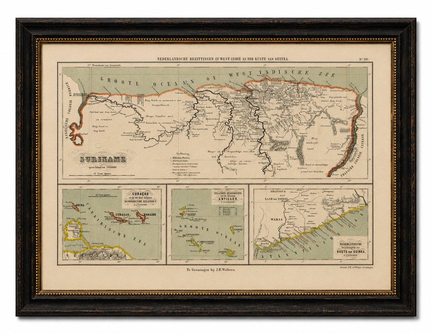
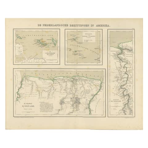
This finely detailed antique Dutch colonial map titled Nederlandsche Bezittingen in West-Indie en ter Kuste van Guinea (“Dutch Possessions in the West Indies and on the Coast of Guinea”) was published in 1882 as plate No. XIV from the celebrated Schoolatlas van de Geheele Aarde by the renowned Dutch cartographer Jacob Kuyper.
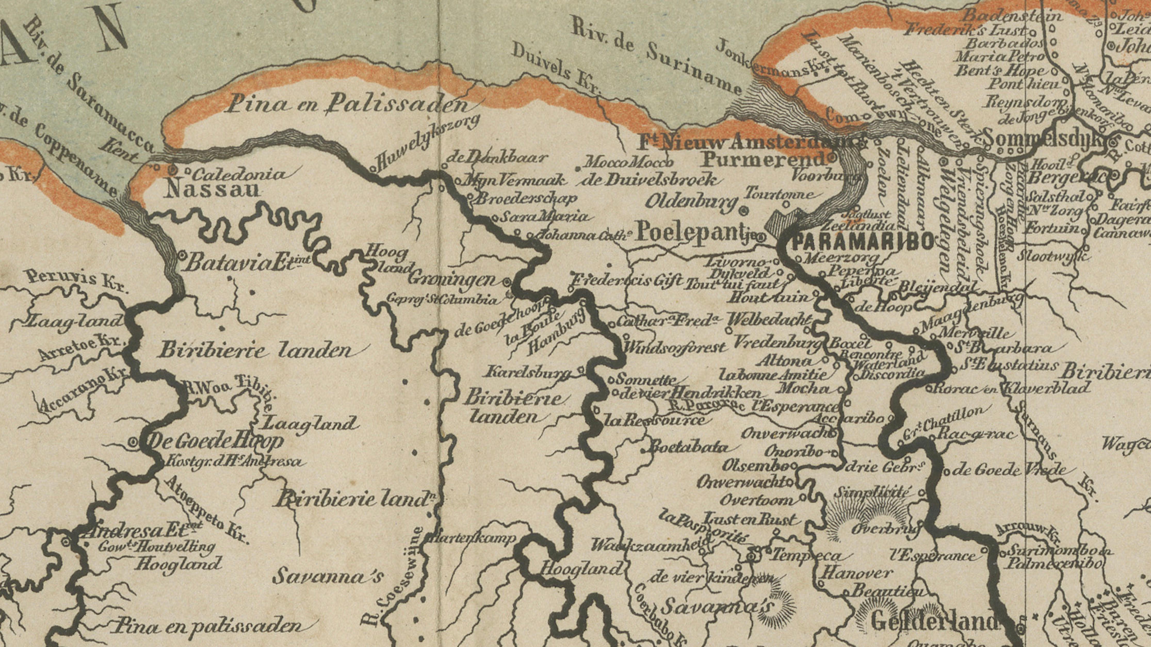
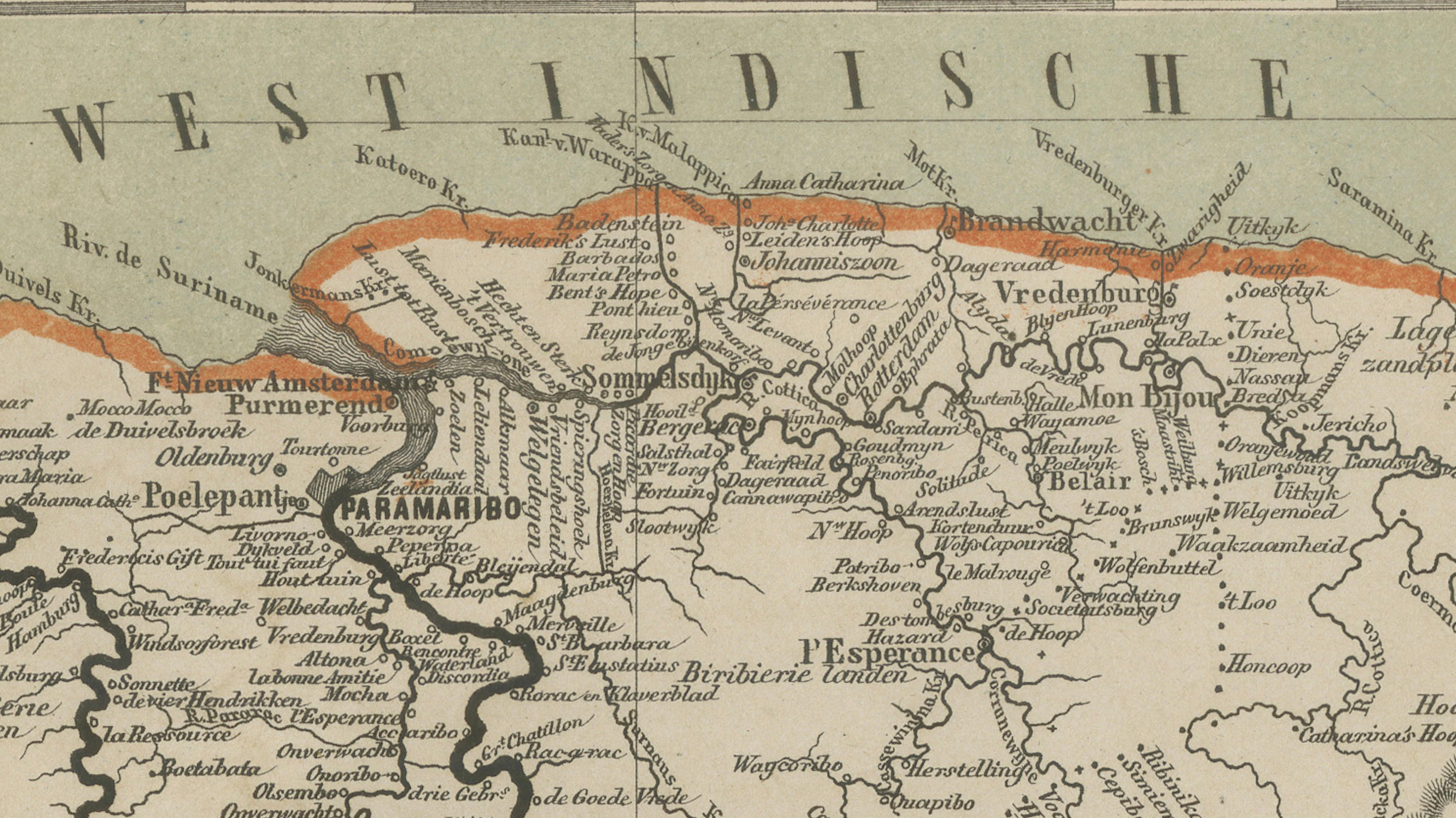
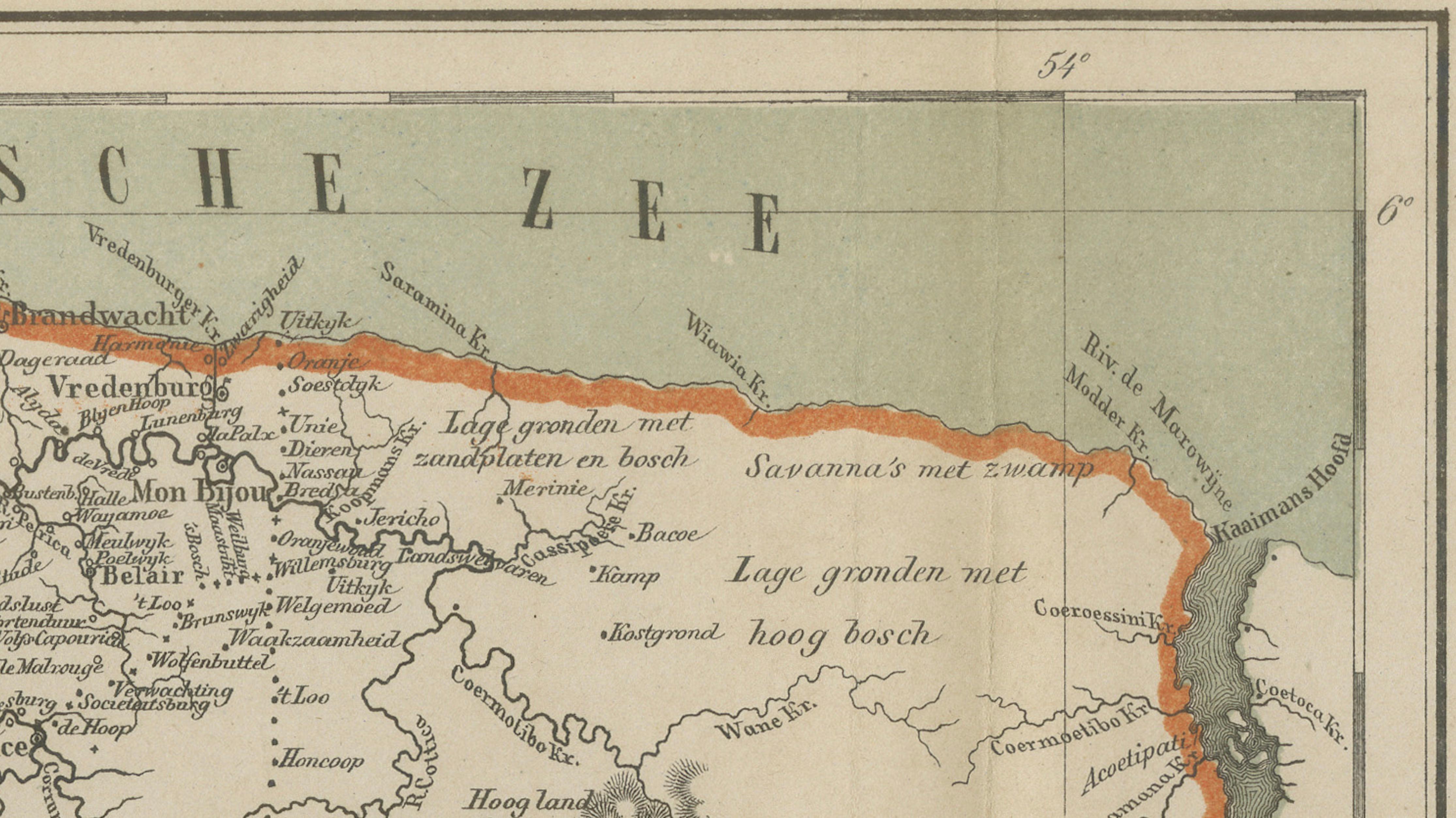
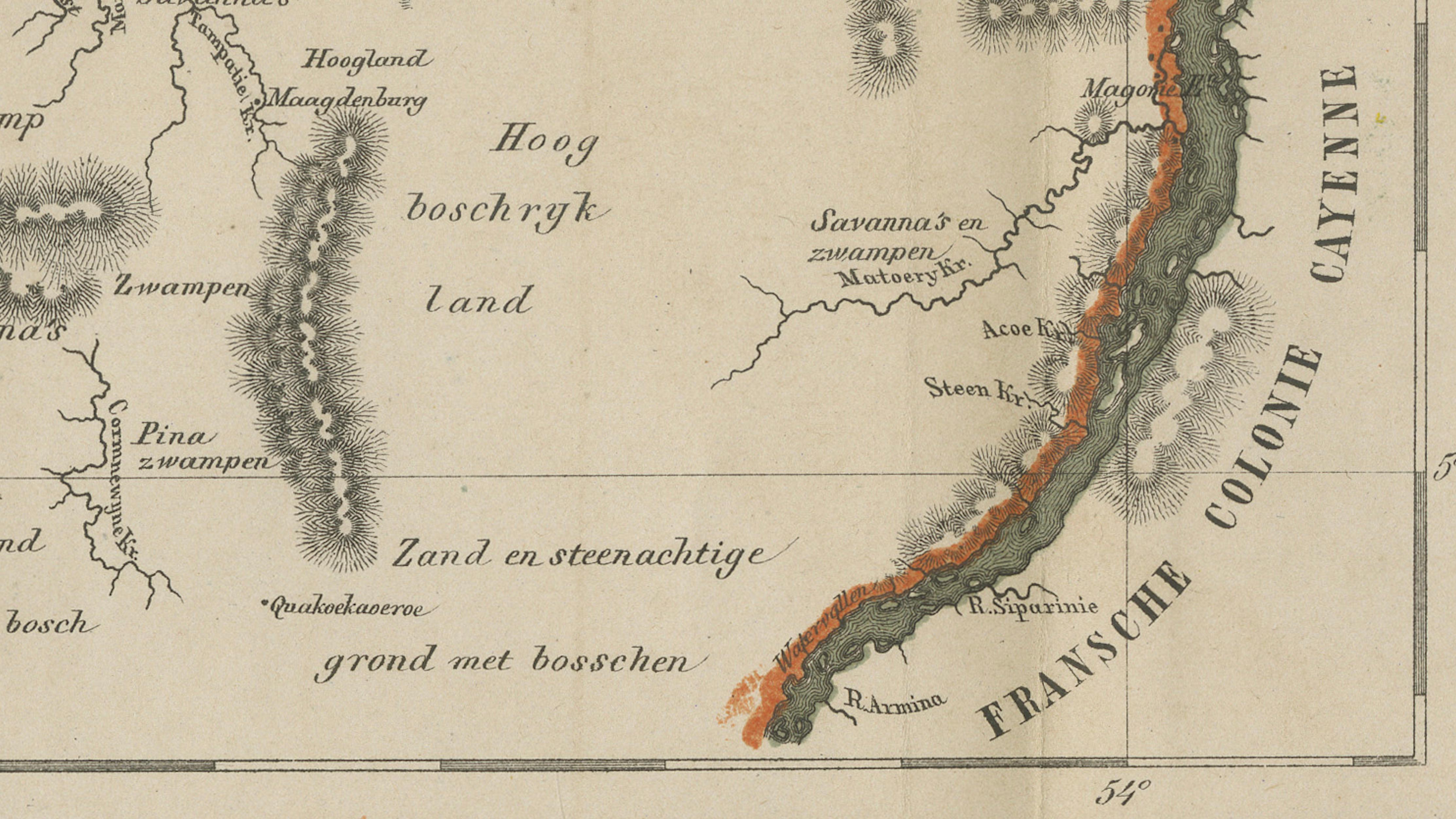
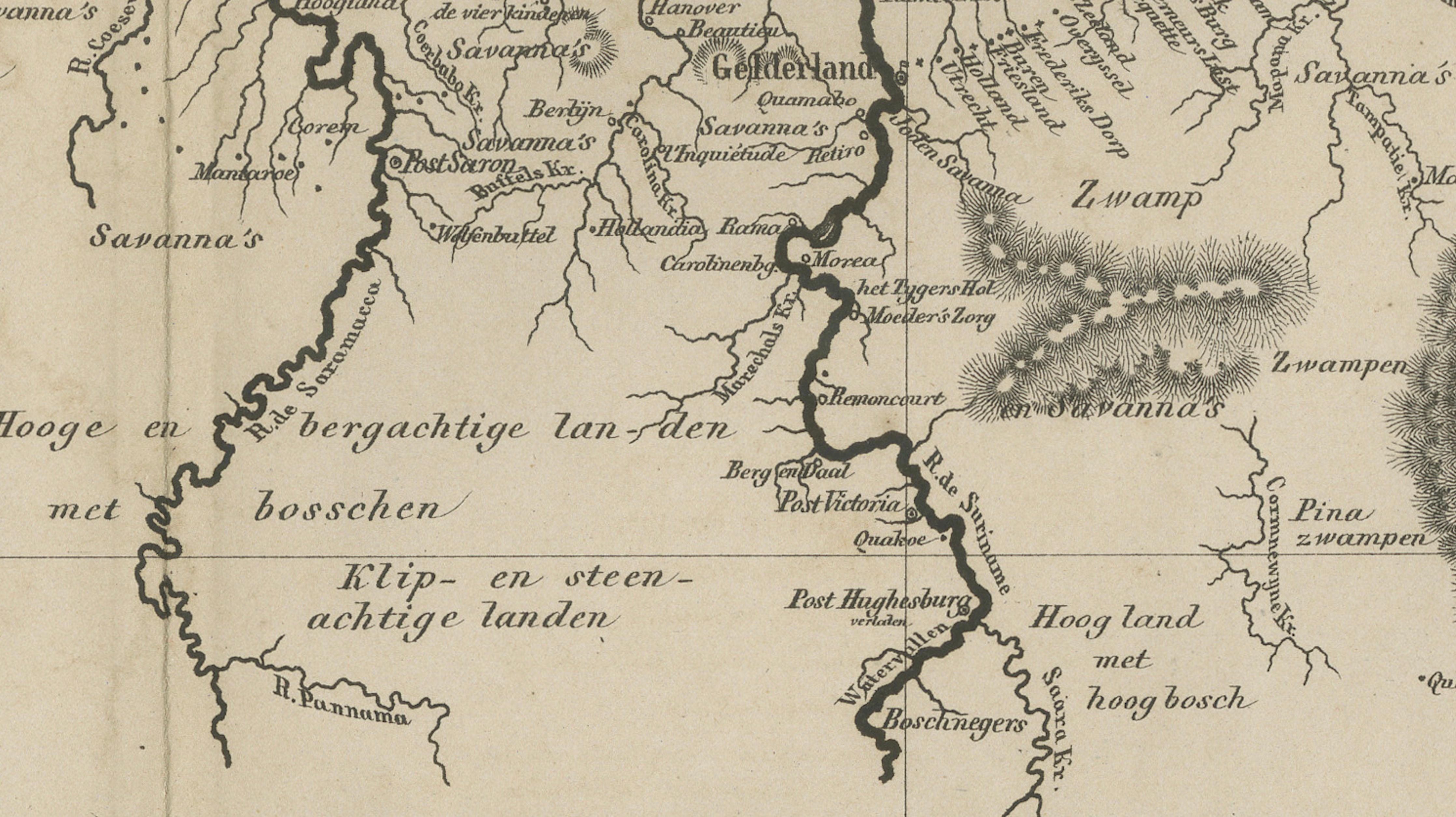
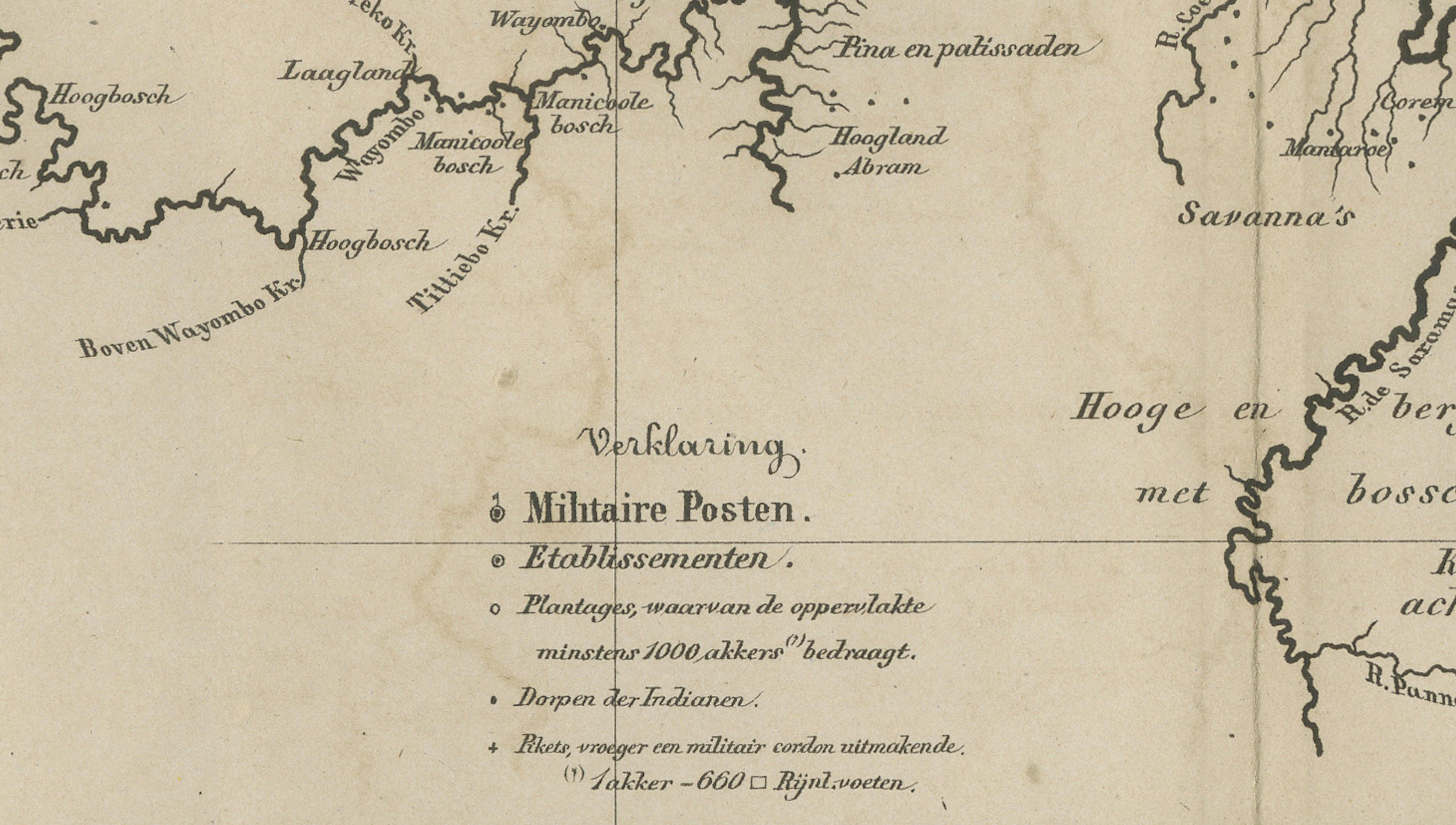
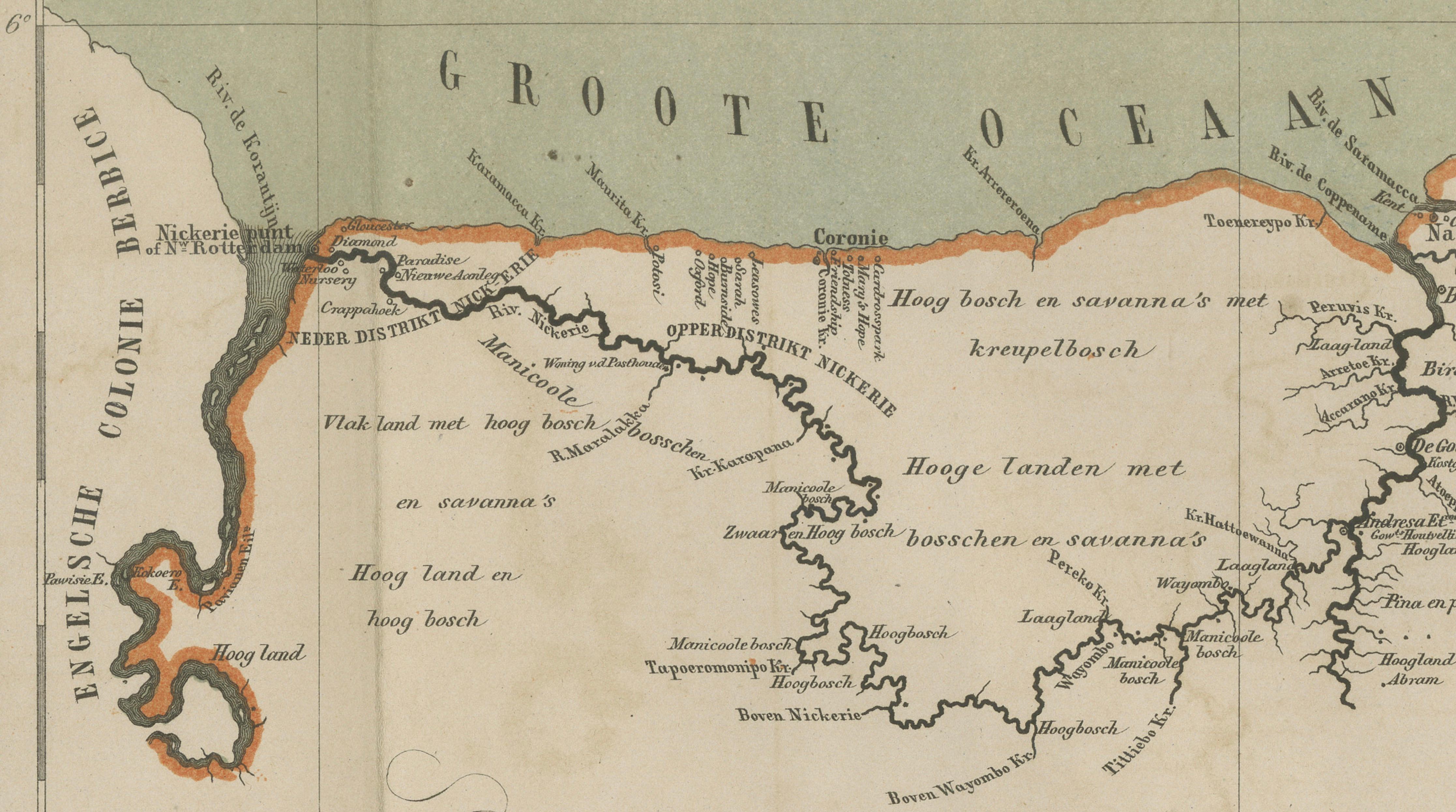
The map provides a fascinating overview of the Dutch colonial empire in the Caribbean, South America, and West Africa during the late 19th century. The large central map focuses on Suriname, depicting rivers, plantations, settlements, forests, and inland terrain with remarkable precision. Borders with British Guiana and French Guiana are clearly indicated, while the dense river network emphasizes the colony’s economic dependence on plantation agriculture and river transport.
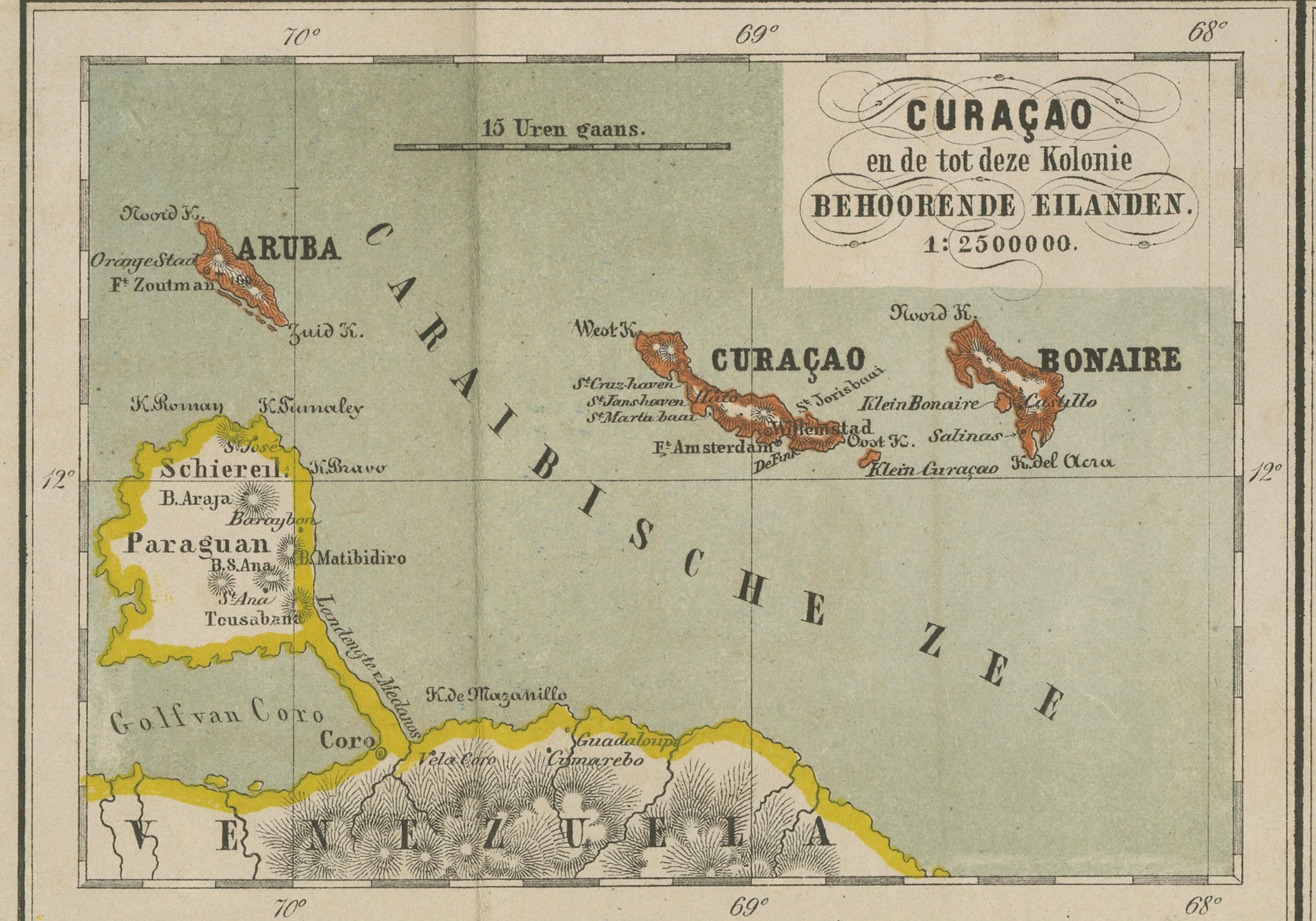
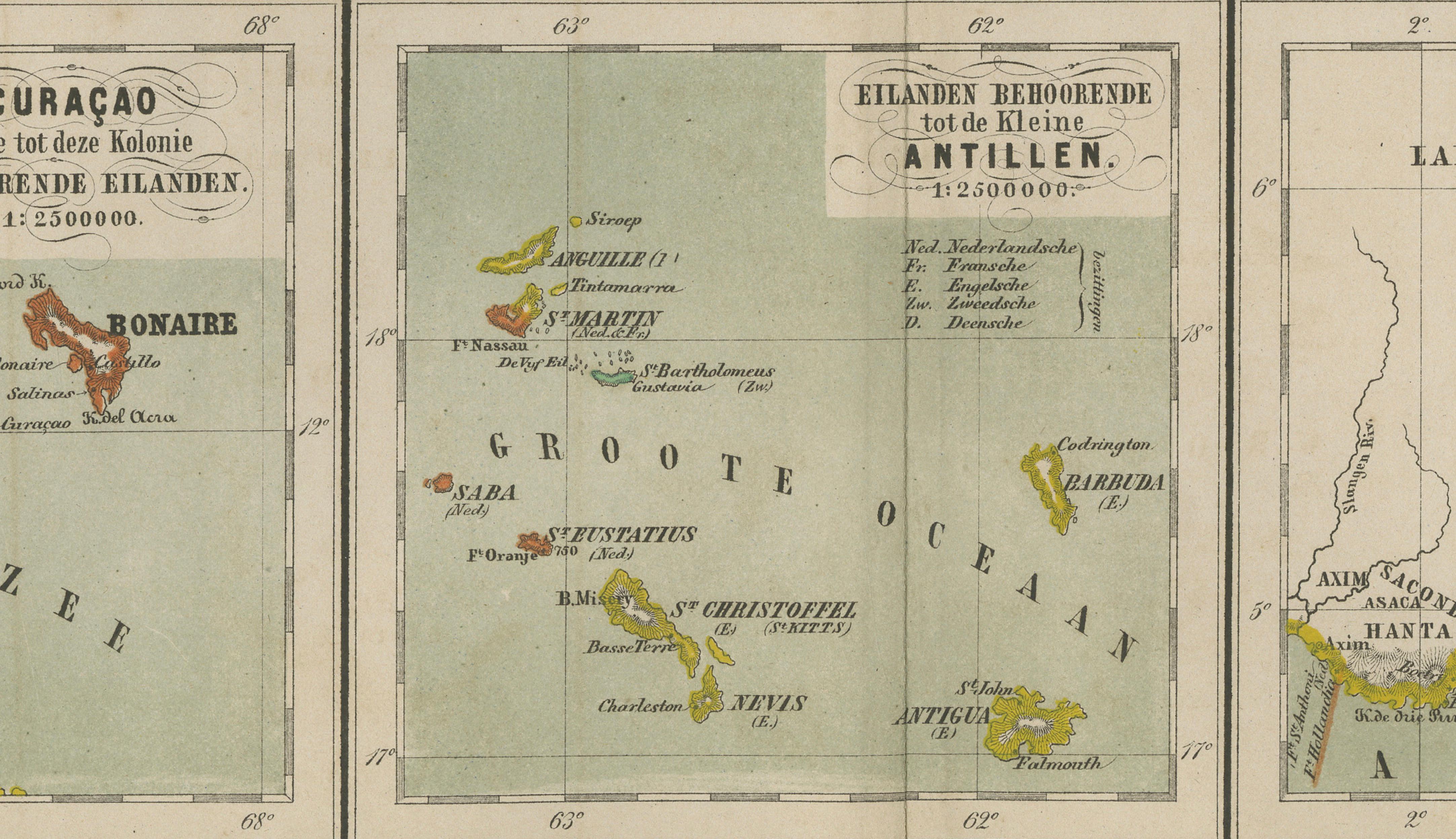
Three inset maps below illustrate additional Dutch colonial territories:
• Curaçao, Aruba, and Bonaire,
• the Dutch Antilles including St. Eustatius, Saba, and St. Martin,
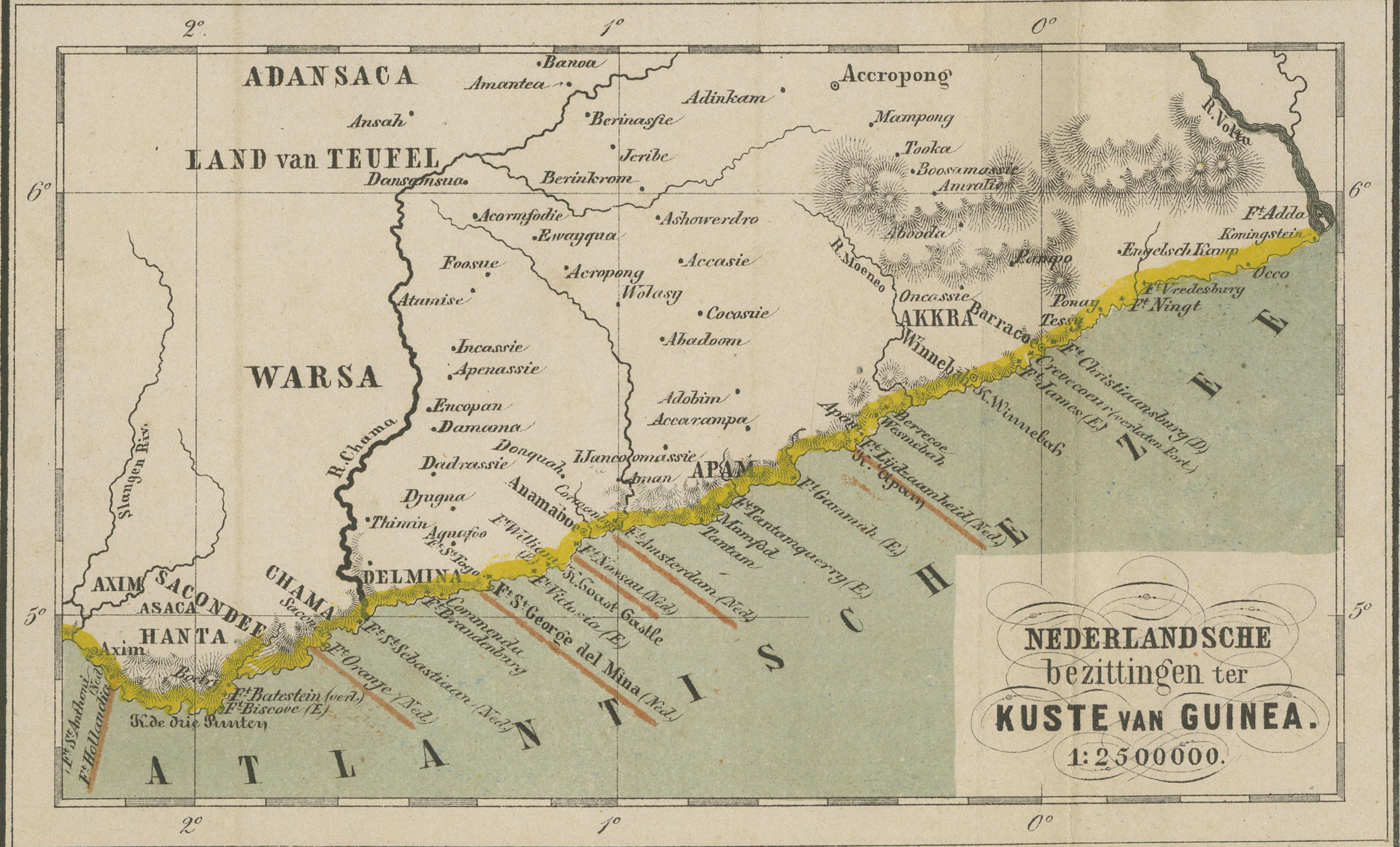
• and the Dutch possessions along the Guinea Coast in West Africa.
These inset maps create an unusually comprehensive visual overview of the Dutch overseas colonial network during the height of European imperial expansion.
Jacob Kuyper was among the most important Dutch cartographers of the 19th century, known for producing highly accurate and visually elegant educational atlases. His maps were widely used in Dutch schools and institutions and are admired today for their clarity, refined engraving style, and historical significance. The atlas was published by the prominent Groningen publisher J.B. Wolters, whose educational works became standard references throughout the Netherlands.
The restrained original outline coloring and balanced multi-map composition make this sheet especially decorative. It appeals strongly to collectors of Suriname, Curaçao, Caribbean cartography, Dutch colonial history, and West African historical geography.
Special note: This is an original antique atlas map, not a reproduction. All items we offer are authentic period works of art over 100 years old. The map is sold unframed; any framed images are shown for presentation and interior inspiration only and may not always be to scale with the original.
Condition report: Overall in good antique condition with age-related toning and light handling wear consistent with atlas maps from the period. Original fold lines as issued. Minor foxing and marginal wear visible. Original outline coloring remains attractive and well preserved. Please study the image carefully.
Framing tips: This map displays beautifully in dark walnut, black lacquer, or lightly gilt frames paired with wide ivory mats. Its combination of Caribbean, South American, and African geography makes it especially suitable for studies, libraries, maritime interiors, or collections focused on Dutch colonial history.