About this sheet
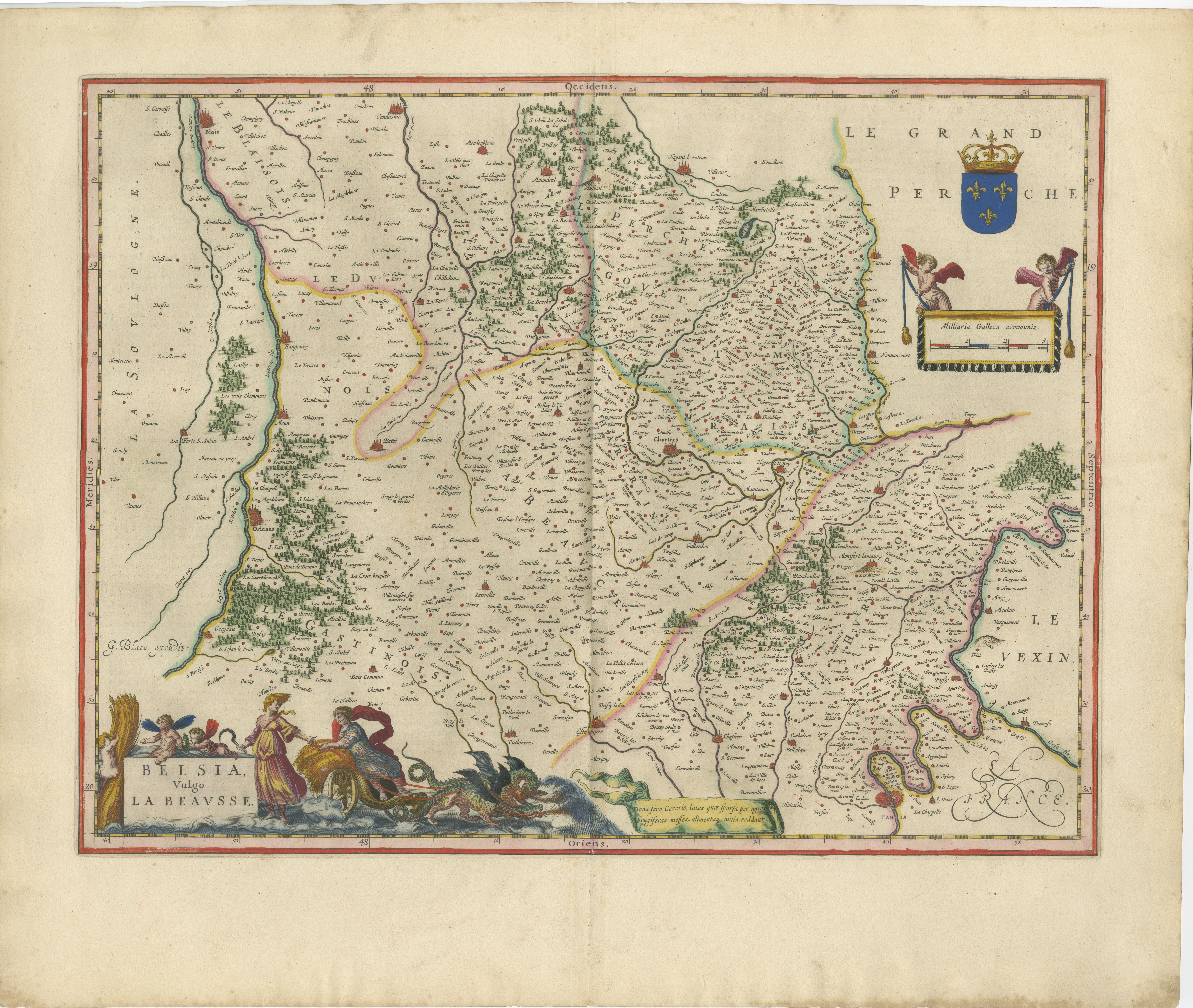
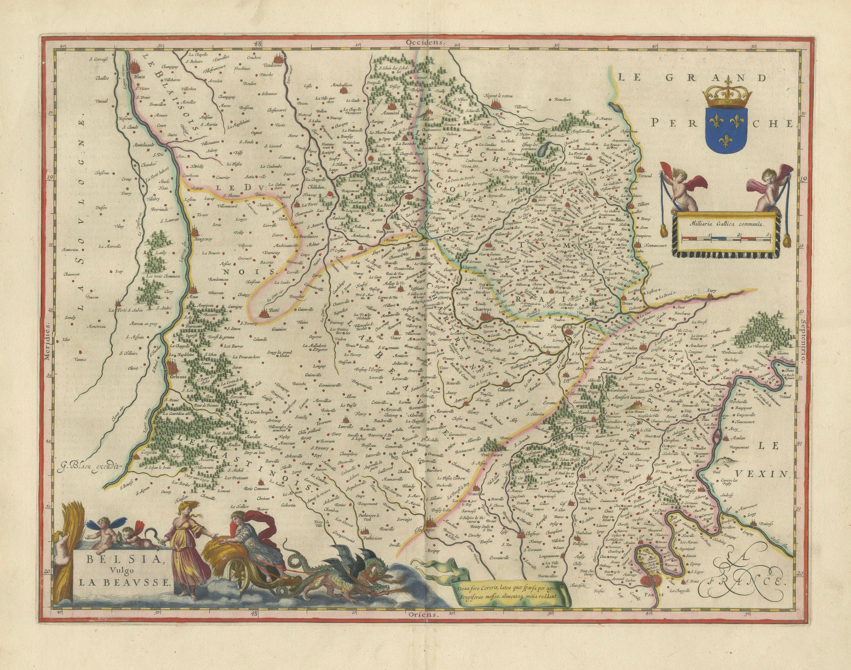
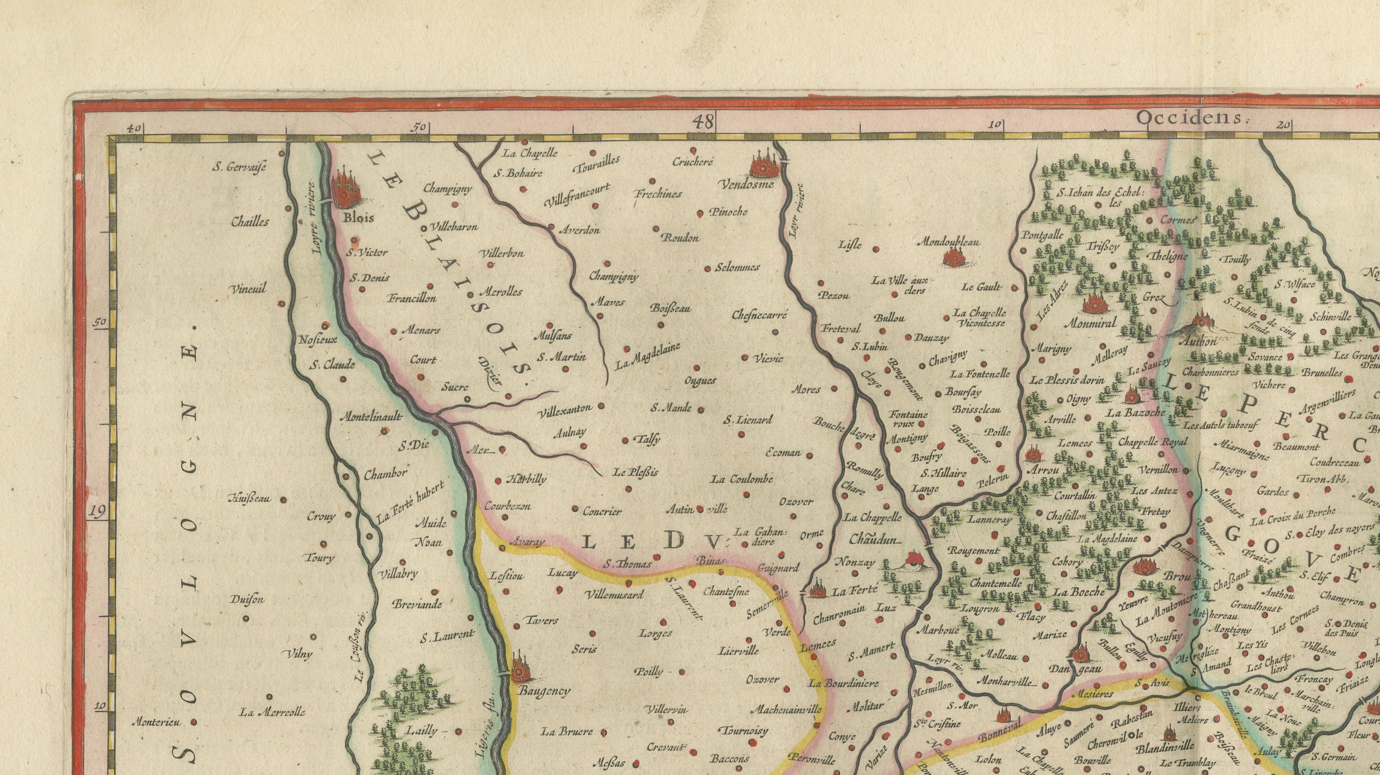
A magnificent and highly decorative antique map depicting the historic French regions of Beauce and Perche, engraved and published by Willem and Joan Blaeu during the Dutch Golden Age of cartography. Richly detailed and beautifully hand-colored, the map originates from the celebrated atlas Toonneel des Aerdrycx, one of the most luxurious and influential atlases produced in 17th-century Europe.
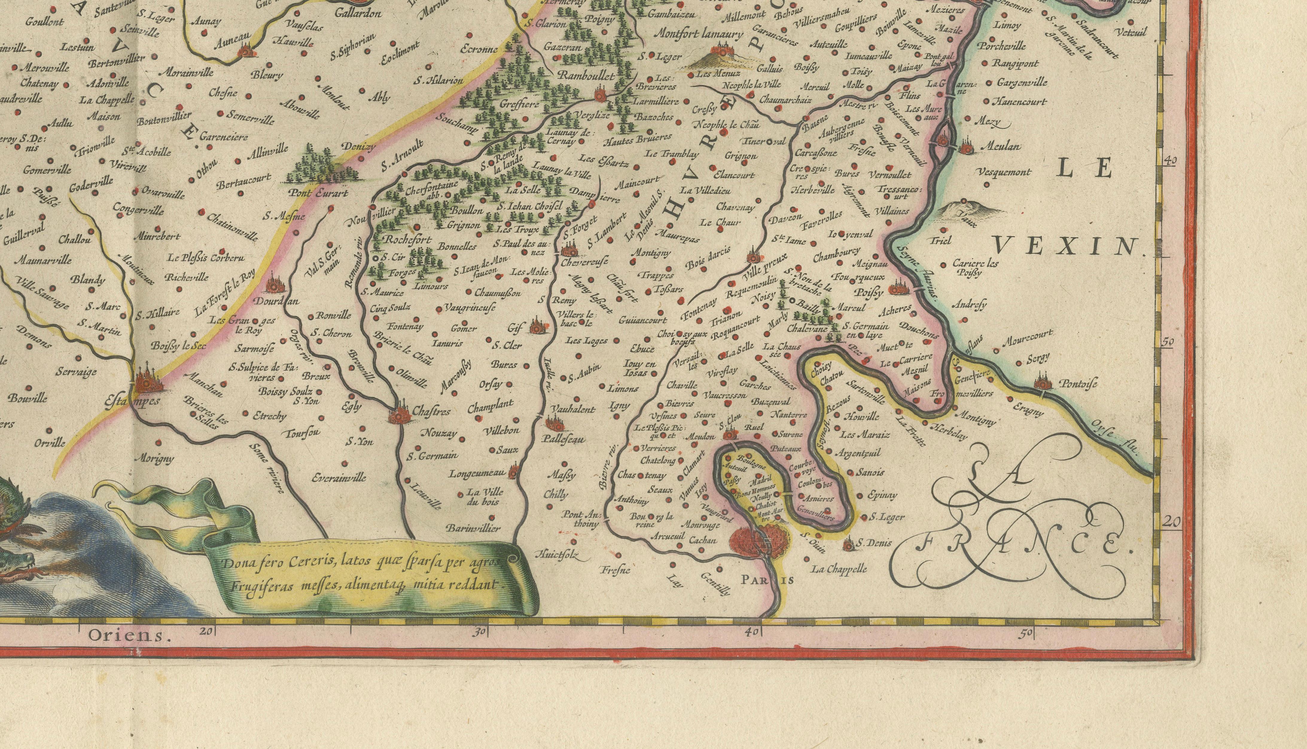
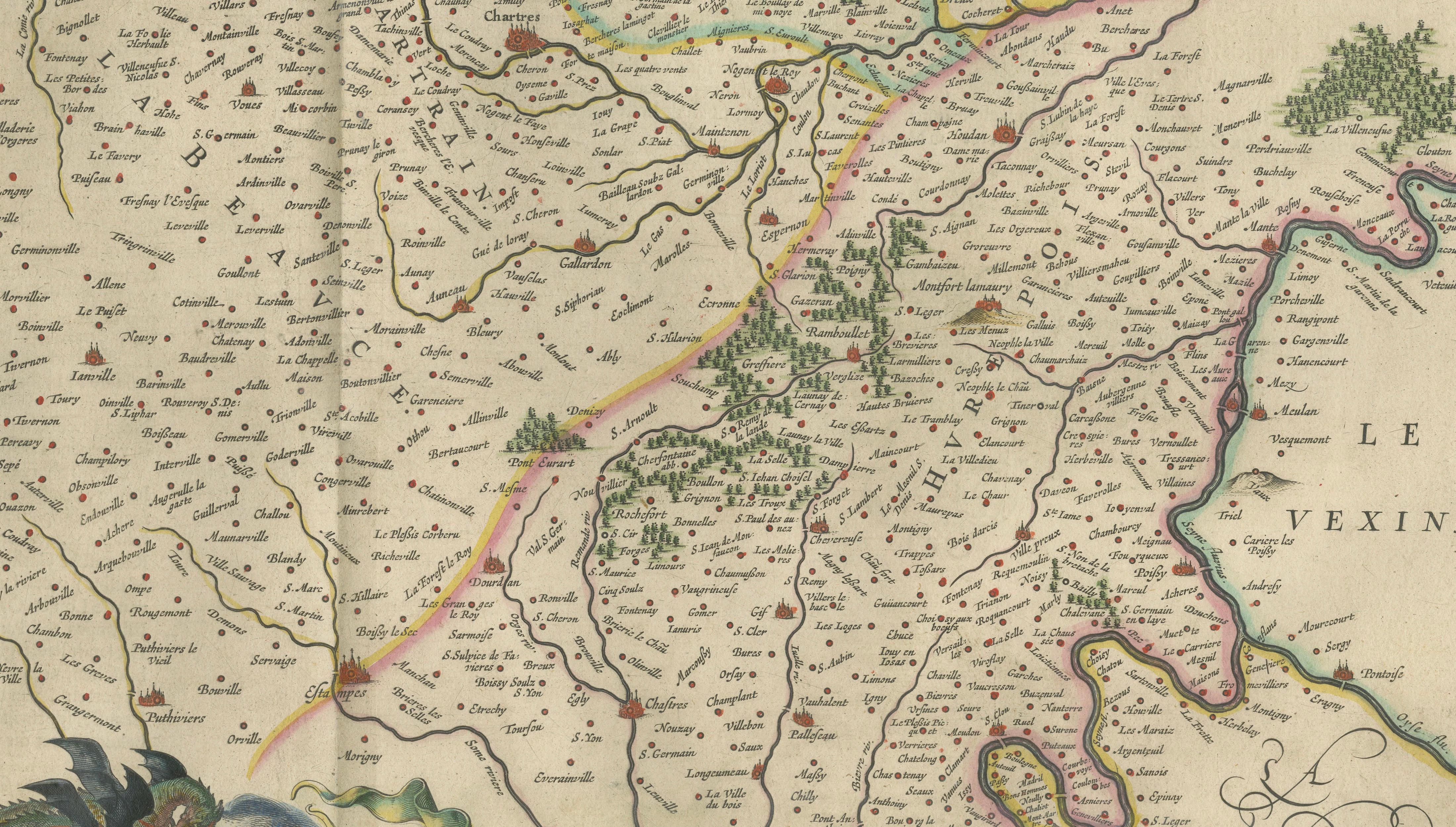
The map covers the fertile territories southwest of Paris, encompassing parts of Beauce, Perche, Chartres, Blois, and surrounding provinces. Hundreds of towns, villages, rivers, forests, and regional divisions are engraved with exceptional precision, illustrating the remarkable geographic sophistication achieved by the Blaeu workshop in Amsterdam.
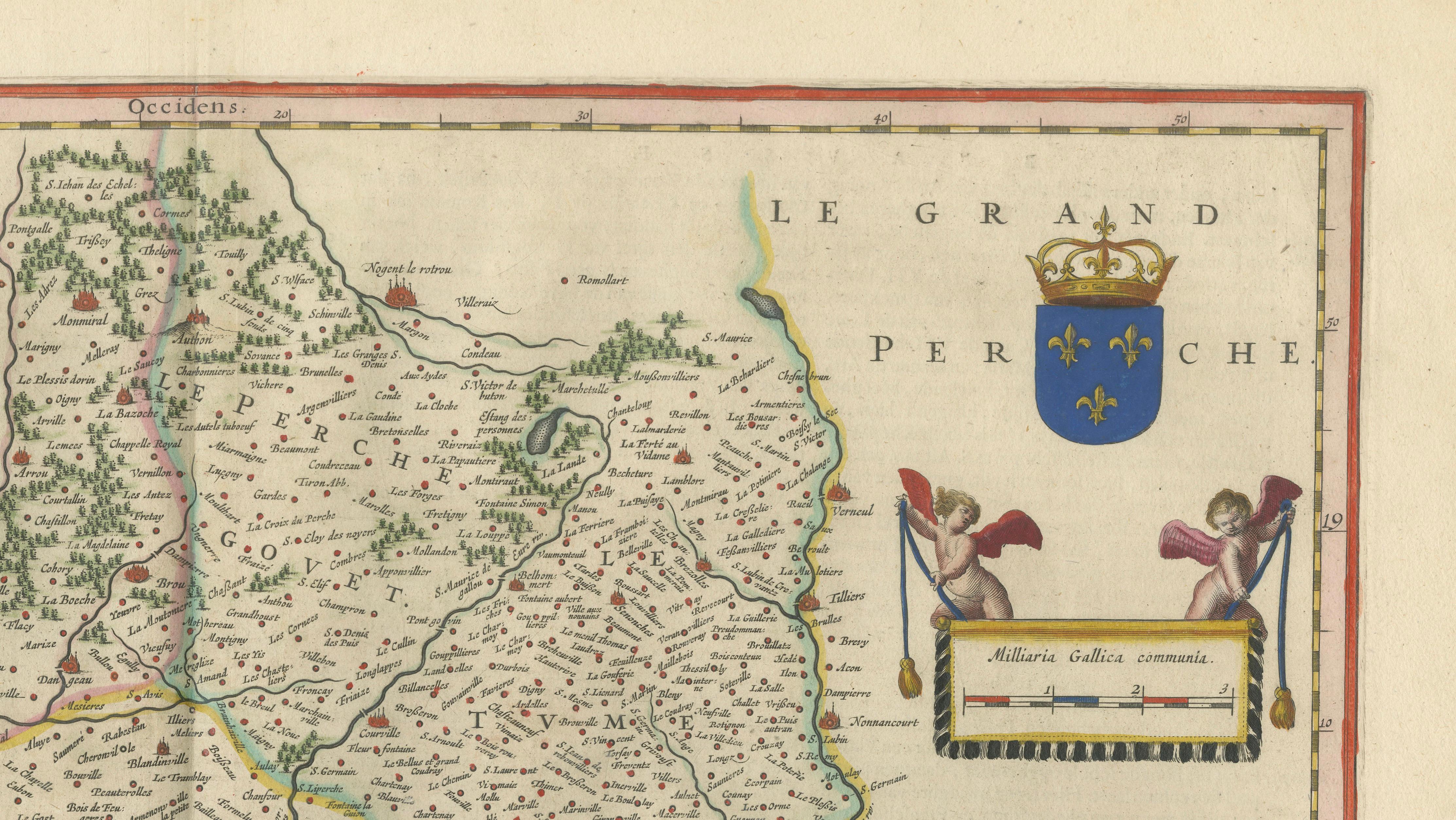
The composition is especially attractive for its large allegorical cartouche in the lower left corner, featuring mythological sea creatures, cherubs, and classical figures surrounding the title “Belsia vulgo La Beavsse.” In the upper right corner appears the royal heraldic emblem of Perche accompanied by a decorative scale cartouche flanked by winged putti. These rich decorative elements elevate the map well beyond pure cartography into the realm of baroque decorative art.
Produced during the height of the Dutch Golden Age, Blaeu maps were prized throughout Europe by aristocrats, merchants, diplomats, and scholars for their combination of geographic accuracy and artistic refinement. The Blaeu family became synonymous with luxury atlas production, and their maps remain among the most desirable decorative maps of the 17th century.
The region shown includes important historic centers such as Chartres, Blois, Châteaudun, Vendôme, Dreux, and parts of the Loire valley corridor. Beauce was historically known as one of France’s richest agricultural regions, often referred to as the “granary of France,” while Perche became associated with noble estates, forests, and traditional French provincial culture.
The original hand coloring remains fresh and harmonious, with delicate outline color accentuating provincial boundaries and waterways. The engraving impression is sharp and detailed, making the map especially suitable for collectors of French regional cartography, decorative map enthusiasts, or sophisticated interior display.
Special note: This is an original 17th-century map, not a reproduction. All items we offer are authentic period works of art over 100 years old. The map is sold unframed; any framed images are shown for presentation and interior inspiration only and may not always be on scale with the original.
Condition report:
Good antique condition with original center fold as issued. Minor age-related toning and occasional light spotting mainly in the margins. Attractive original hand color and strong impression. Wide margins preserved. Please study image carefully.
Framing tips:
This map displays exceptionally well in dark walnut, black lacquer, or lightly gilt frames paired with a wide ivory or oatmeal mat. Its dramatic allegorical cartouche and refined coloring make it particularly suitable for libraries, French country interiors, château-style homes, or sophisticated gallery walls.
Keywords:
Beauce, Perche, Chartres, Blois, Vendôme, Dreux, Châteaudun, Loire Valley, Perche region, Beauce France, granary of France, French provinces, antique French map, Blaeu atlas, Willem Blaeu, Joan Blaeu, Dutch Golden Age cartography, Toonneel des Aerdrycx, decorative cartography, antique map of France, 17th century engraving, hand-colored map, historical France, old map of Beauce, old map of Perche, French château decor, baroque cartouche, mythological sea creatures, antique Loire map
Technique: Copperplate engraving with original hand coloring
Maker: Willem & Joan Blaeu, Amsterdam, circa 1642