About this sheet
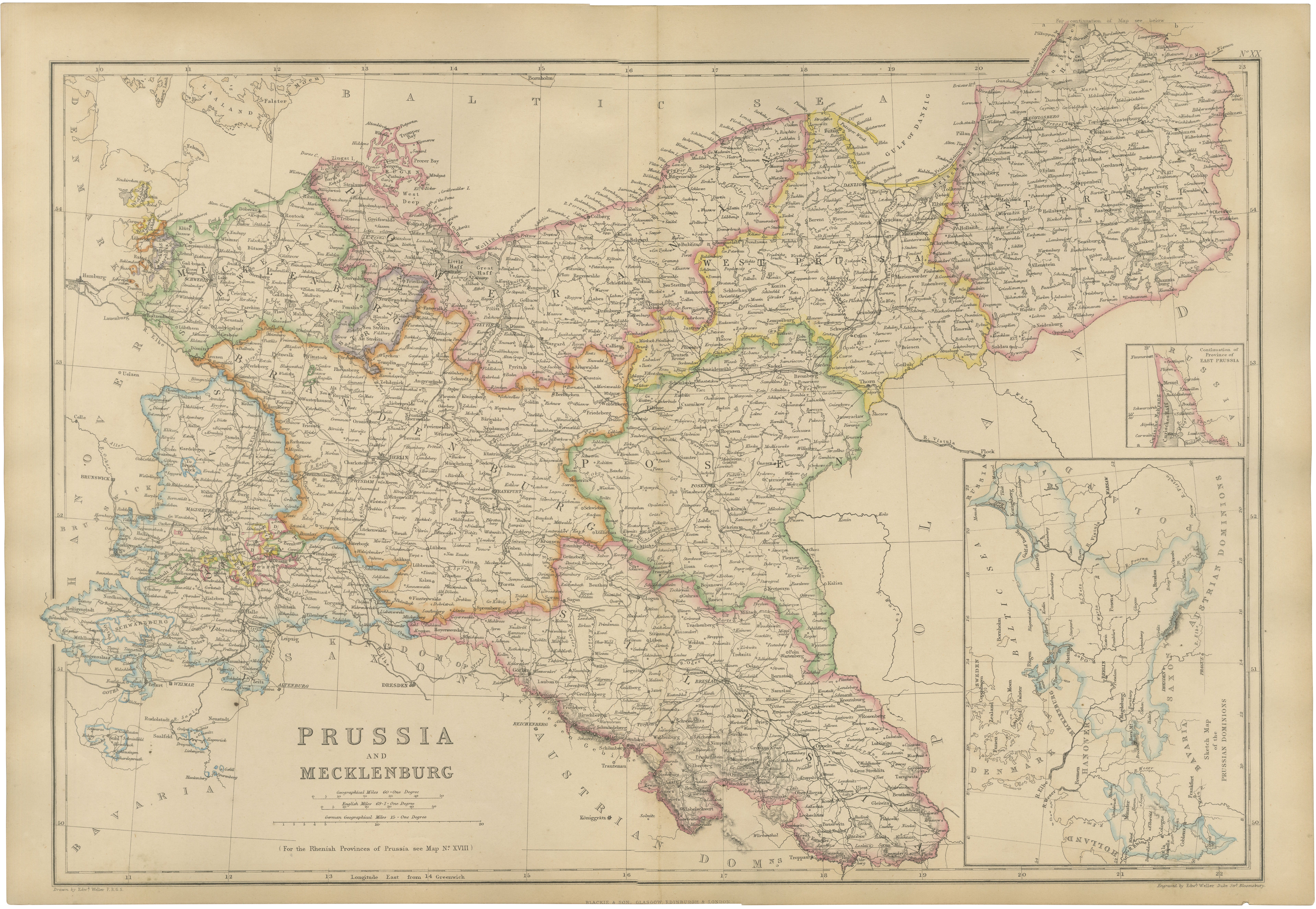
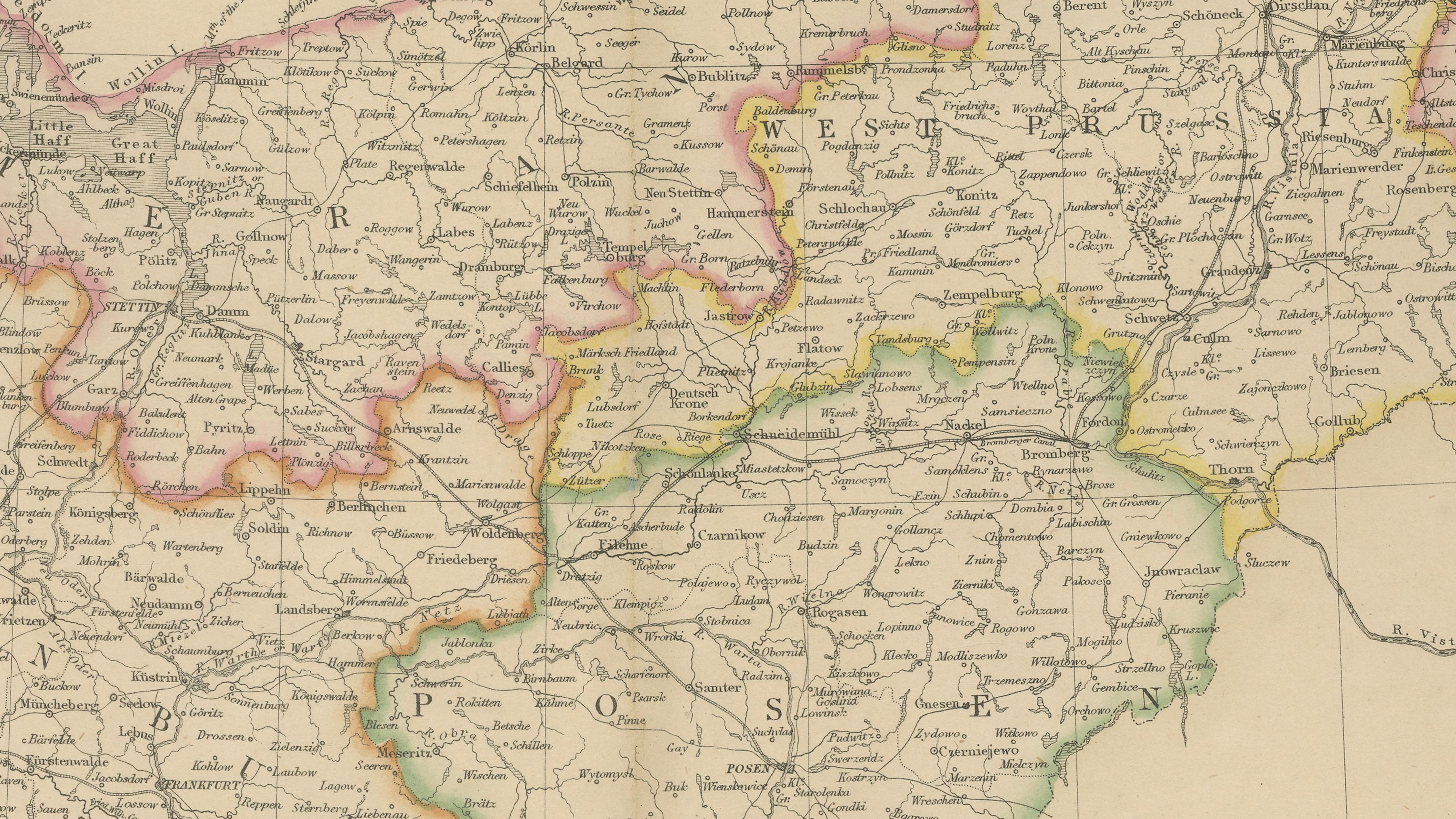
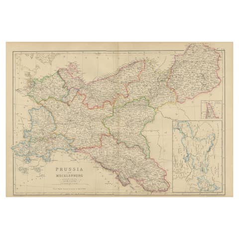
This finely engraved original antique map depicts the Kingdom of Prussia and the Grand Duchy of Mecklenburg during the mid-nineteenth century, published by the distinguished Scottish firm Blackie & Son around 1860. Covering a vast portion of northern and eastern Germany, the map provides an exceptional historical record of the most powerful German state prior to the unification of Germany in 1871.
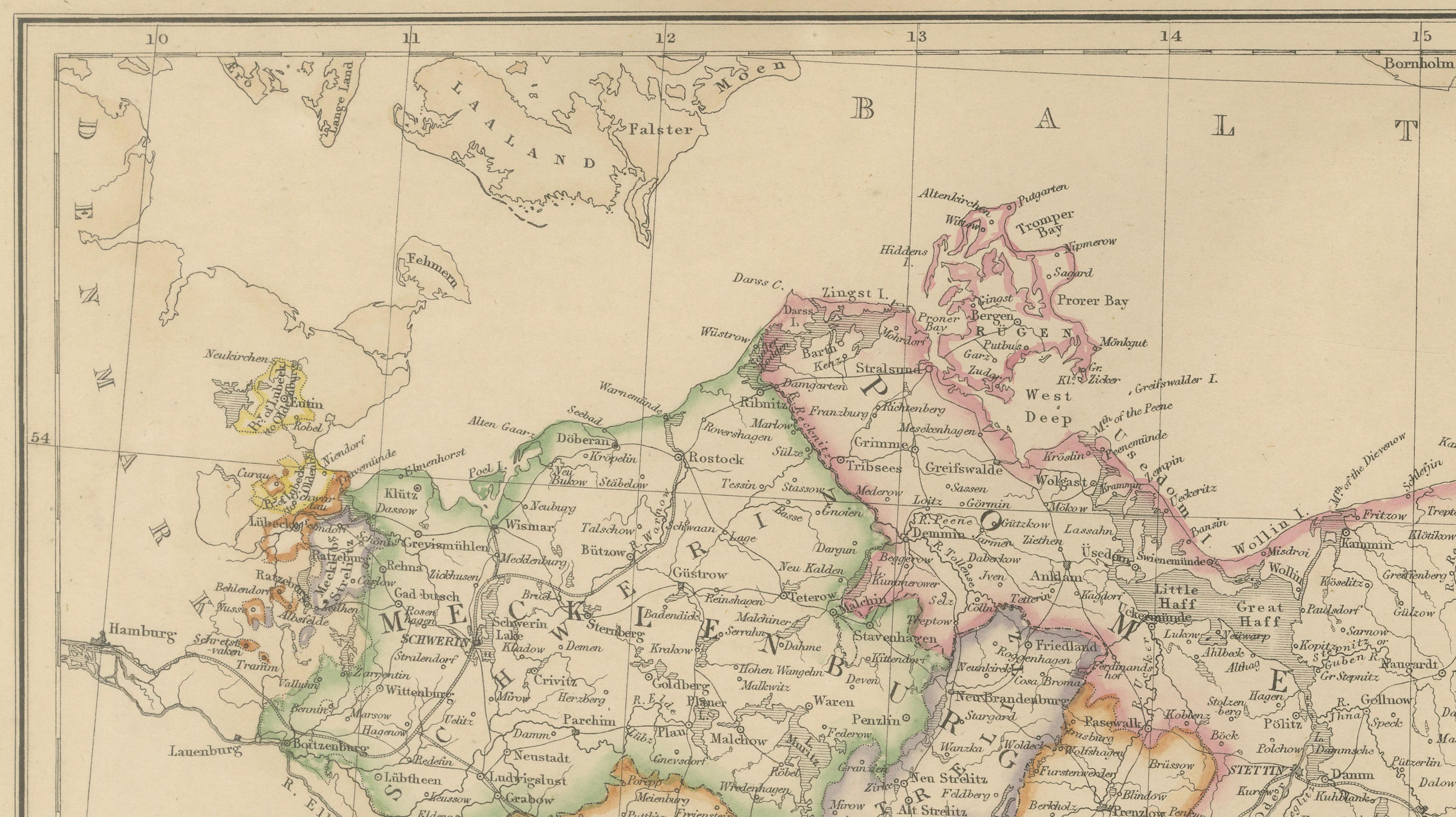
Beautifully enhanced with original outline hand color, the map clearly delineates the various provinces and administrative divisions of Prussia. Major regions shown include Brandenburg, Pomerania, West Prussia, East Prussia, Silesia, Posen, Saxony, and Mecklenburg, together with countless cities, market towns, villages, rivers, canals, railways, and roads. Important cities such as Berlin, Königsberg, Danzig (Gdańsk), Breslau (Wrocław), Stettin (Szczecin), Magdeburg, Potsdam, and numerous other historic centers are carefully identified.
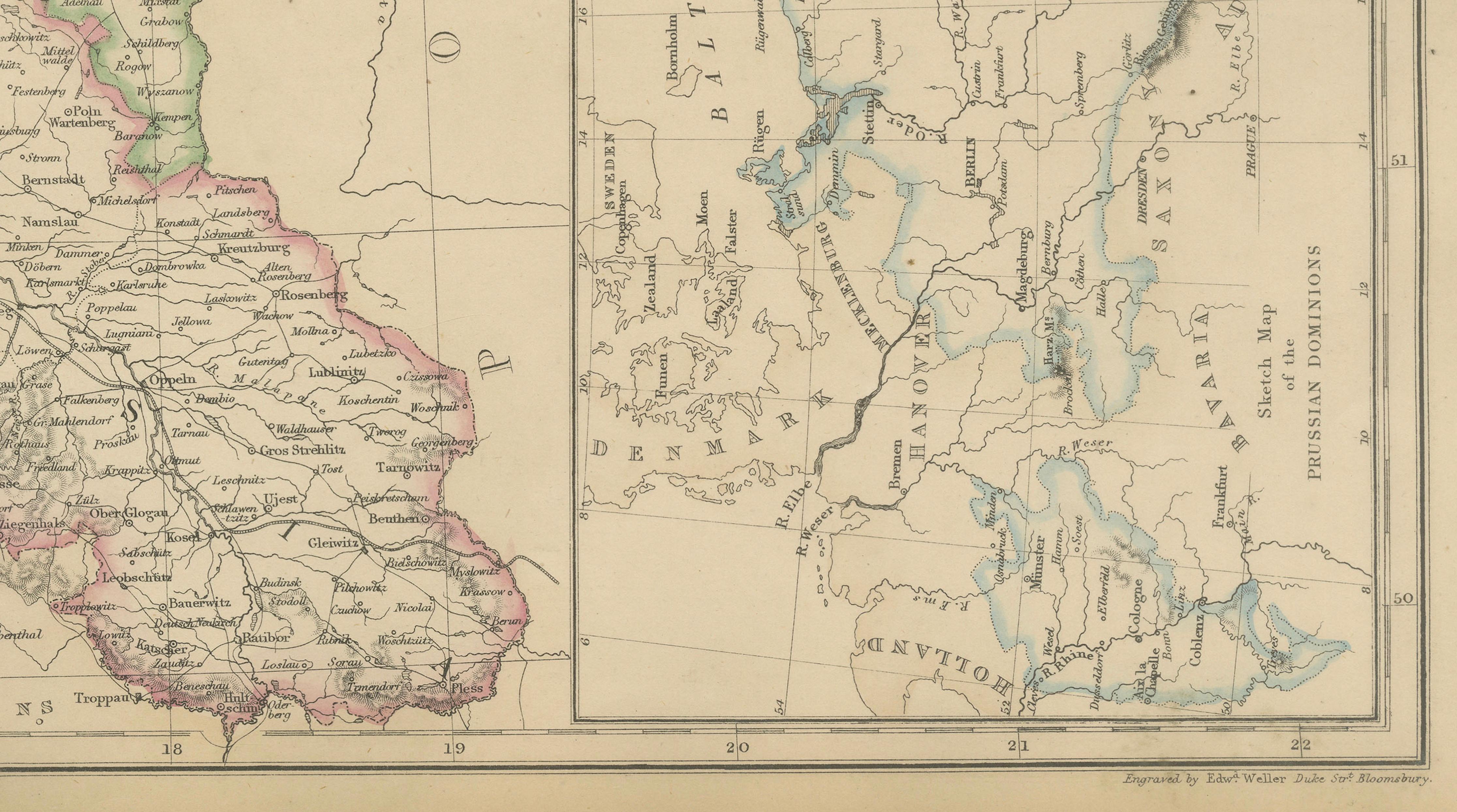
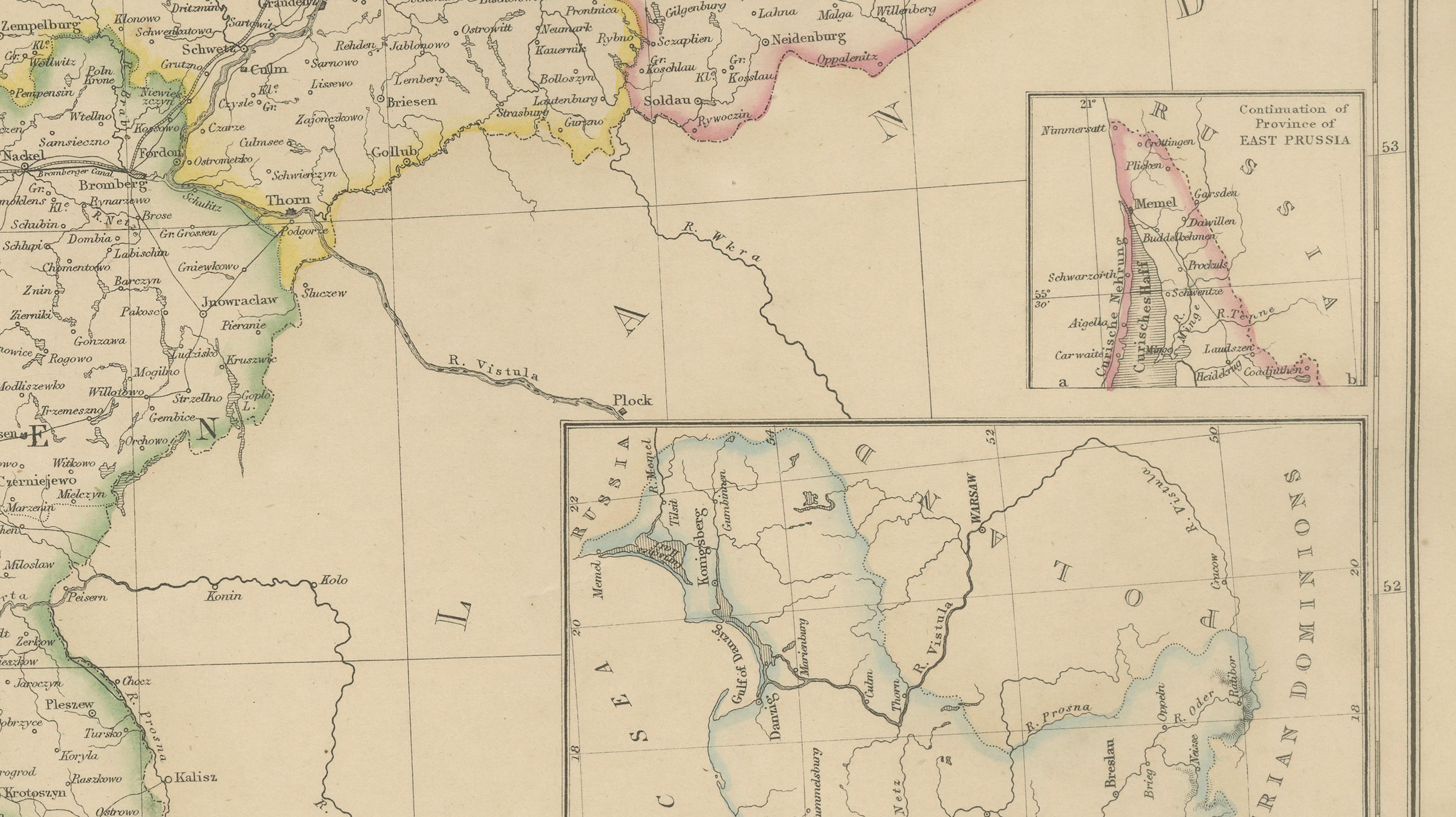
Particularly noteworthy are the inset maps showing East Prussia and the intricate waterways and coastal regions of the Baltic Sea. These additions highlight the strategic importance of Prussia's maritime territories and trading connections. The map illustrates the complex political geography of Central Europe before German unification, when Prussia was emerging as the dominant force among the German states.
The detailed rendering of rivers, lakes, and transportation routes reflects the growing importance of industrial development and communication networks during the nineteenth century. Railways and roads shown on the map provide valuable insight into the infrastructure that helped transform Prussia into one of Europe's leading powers.
Published by Blackie & Son of Glasgow, Edinburgh, and London, this map comes from one of the foremost Victorian atlas publishers. Their maps were admired for combining geographic accuracy, elegant steel engraving, and attractive original coloring, making them highly desirable among collectors today.
This map is an excellent acquisition for collectors of German history, Prussian military history, genealogy, European cartography, and nineteenth-century political geography. It also serves as an impressive decorative piece due to its large format and intricate detail.
Keywords: Prussia, Mecklenburg, Germany, Berlin, Brandenburg, East Prussia, West Prussia, Pomerania, Silesia, Posen, Königsberg, Danzig, Breslau, German Empire, German states, Baltic Sea, antique map, Blackie & Son, nineteenth century cartography, German history.
Condition: Good antique condition with age-related toning and light handling wear consistent with age. Minor imperfections may be present, including occasional foxing or marginal wear. Please examine the photographs carefully as they form part of the description.
Framing Tips: This map displays beautifully in a walnut, dark oak, or black frame with an ivory museum-quality mat. Its detailed geography and attractive original coloring make it especially suitable for libraries, studies, offices, and interiors focused on European history and travel.
This offering is for an original nineteenth-century map, not a modern reproduction. Any framed room visualizations are intended solely to illustrate possible display options and may not accurately represent the map's exact scale. The map is sold unframed.
Technique: Steel engraving with original hand color
Maker: Blackie & Son, Glasgow, Edinburgh & London, circa 1860–1880