About this sheet
Antique Blaeu Map of Limousin and Limagne, France, circa 1642
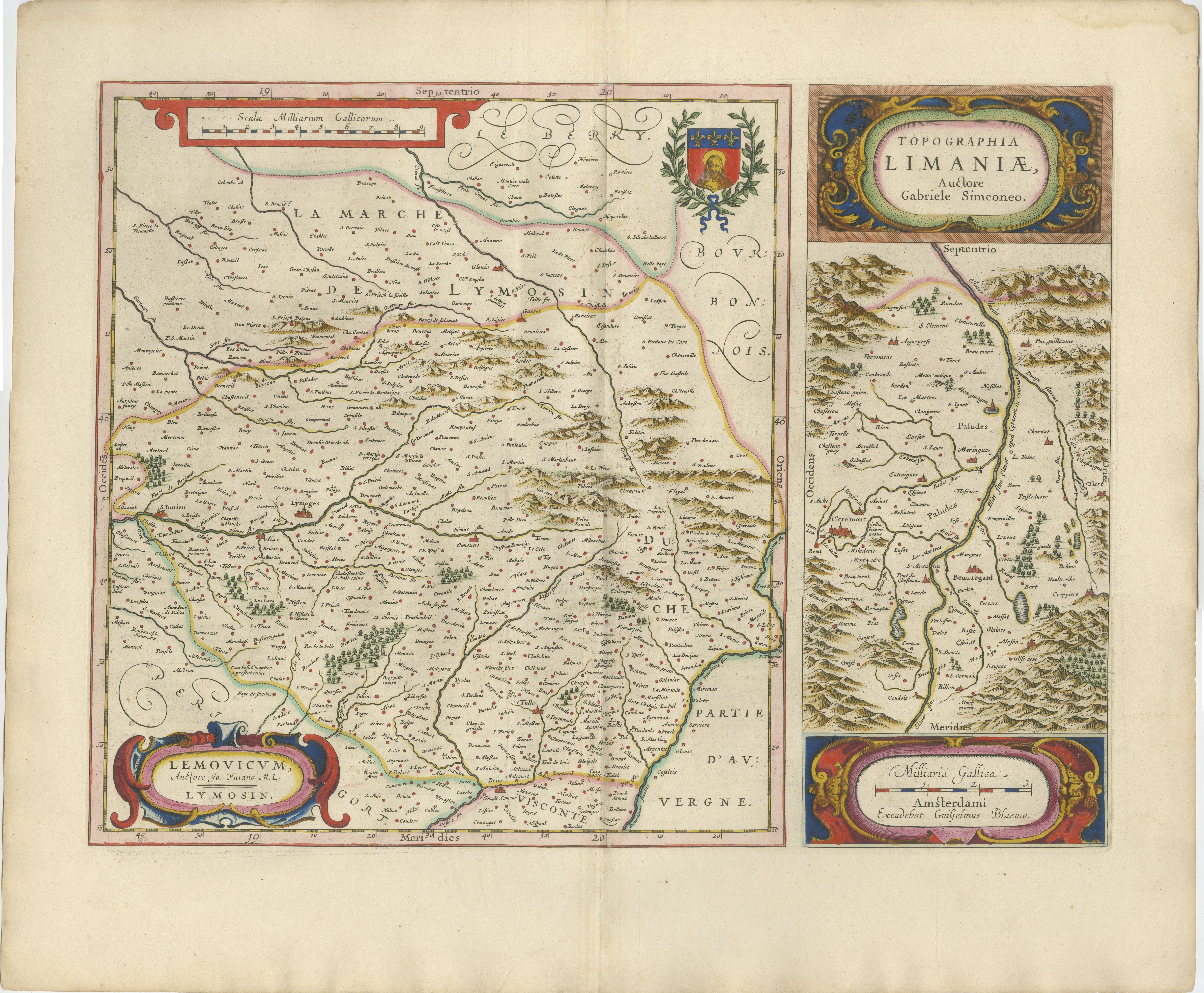
This original seventeenth-century map presents two historic regions of central France on a single sheet. The larger map depicts Limousin, centred on Limoges, while the narrower map at the right shows the Limagne plain and the area surrounding Clermont in present-day Auvergne.
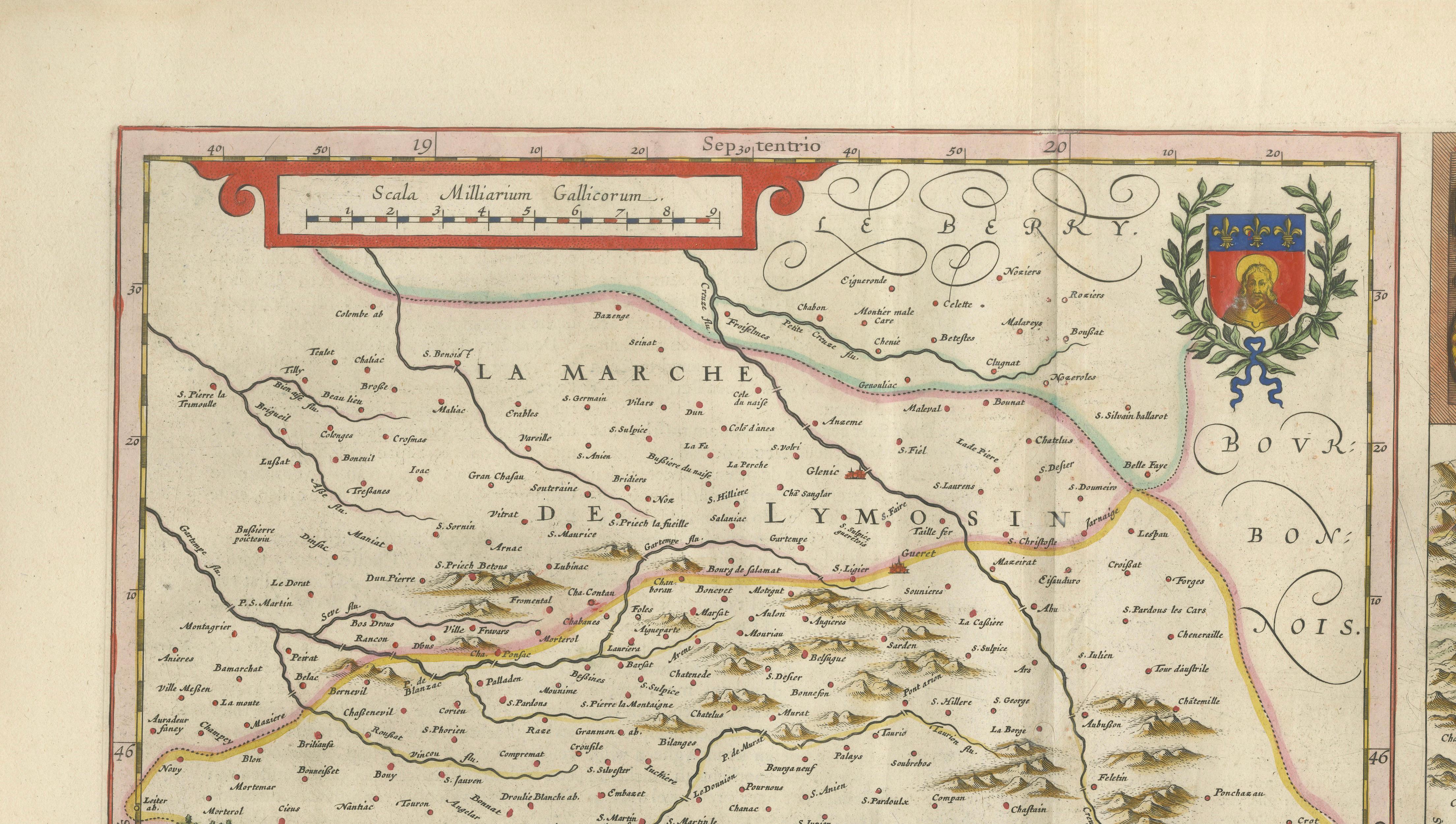
The principal map is titled “Lemovicum, Auctore Jo. Faiano M.L. Lymosin” and is based on the work of the French physician and cartographer Jean du Fayen. It records numerous towns, villages, rivers, forests, mountain ranges and historical territorial boundaries across Limousin.
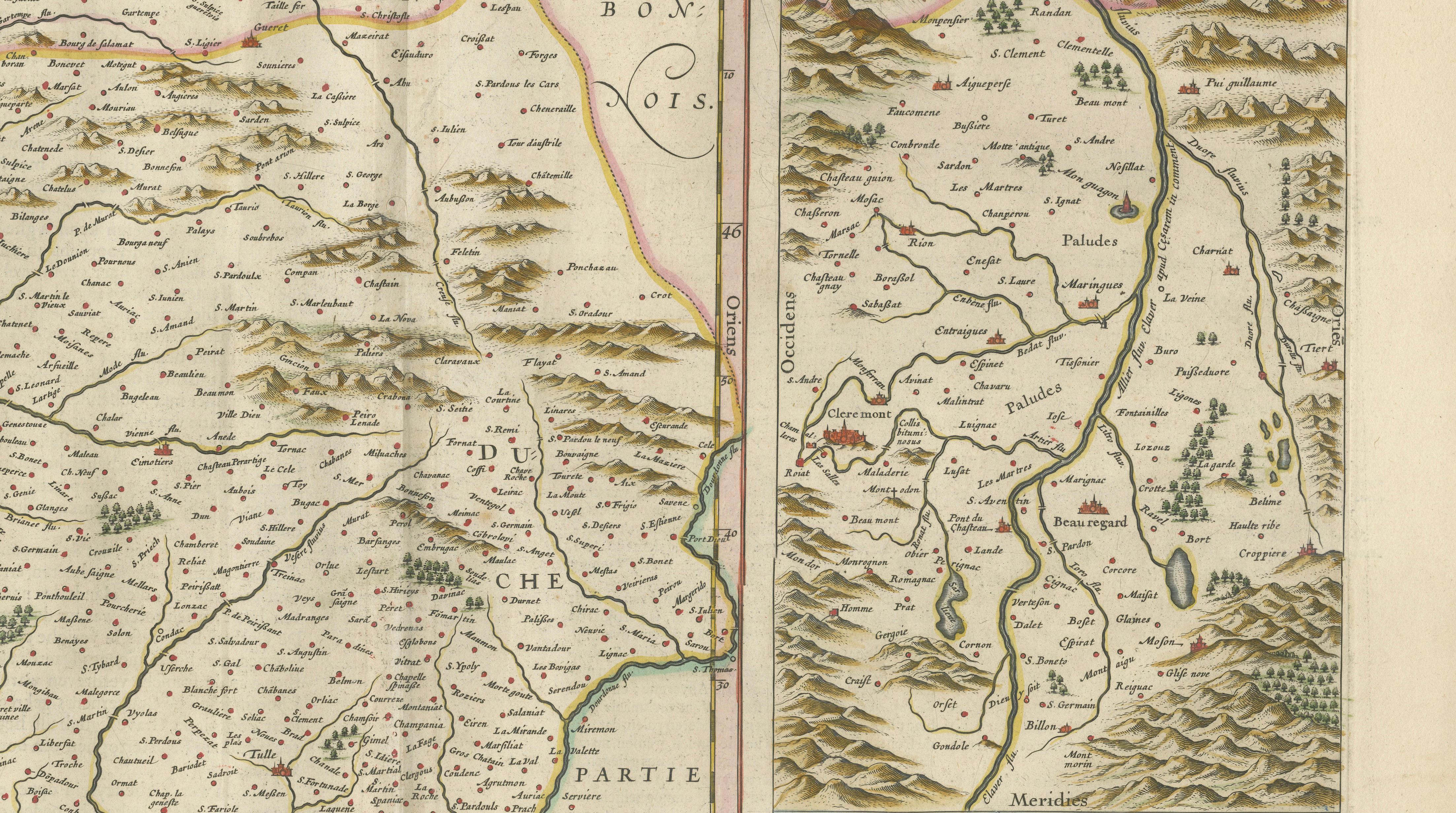
The inset map is titled “Topographia Limaniae, Auctore Gabriele Simeone.” It is attributed to the Italian-French humanist and cartographer Gabriele Simeoni and depicts the Limagne region around Clermont-Ferrand, including the Allier River, settlements and the surrounding mountainous landscape.
The sheet is enriched with several decorative features, including elaborate strapwork cartouches, regional heraldry and engraved scale bars. The combination of two maps within one composition gives the work an especially distinctive and balanced appearance.
The map was published in Amsterdam by the celebrated Blaeu workshop. The design first appeared in Blaeu’s atlas publications during the 1630s and was subsequently included in later editions. This example dates to circa 1642 and comes from the same Blaeu atlas work as the accompanying French regional maps. The map is known in atlas editions under the combined title “Lemovicum, Lymosin – Topographia Limaniae.”
Willem Janszoon Blaeu was one of the leading cartographers, publishers and globe makers of the Dutch Golden Age. Following his death in 1638, the Amsterdam business continued under his sons Joan and Cornelis Blaeu, who maintained the firm’s reputation for finely engraved and beautifully presented maps.
The regions shown are also closely associated with French culinary traditions. Limousin is historically known for its cattle farming and Limousin beef, while Auvergne is celebrated for regional cheeses, including Bleu d’Auvergne, Cantal and Saint-Nectaire. The fertile Limagne plain has long been an important agricultural area.
With its original hand colouring, decorative cartouches and unusual double-map format, this work would make a distinguished addition to a collection of French regional maps, Dutch Golden Age cartography or seventeenth-century engravings. It would also provide an elegant focal point in a library, dining room, study or wine and gastronomy-related interior.
Title: Lemovicum, Lymosin – Topographia Limaniae
Cartographic sources: Jean du Fayen and Gabriele Simeoni
Publisher: Blaeu workshop
Place of publication: Amsterdam
Date: Circa 1642
Technique: Hand-coloured copperplate engraving
Subject: Limousin, Limagne and Auvergne, France
Condition: The map displays age-related toning, a central atlas fold and minor signs of handling consistent with its age. Please examine the photographs carefully, as they form an important part of the condition description.
This is an original seventeenth-century copperplate engraving and not a modern reproduction. Any images showing the map framed are provided for visual inspiration only. The map is supplied unframed.
Keywords:
Willem Blaeu, Joan Blaeu, Blaeu atlas map, antique map of France, Limousin map, Limoges map, Limagne map, Auvergne map, Clermont-Ferrand map, Jean du Fayen, Gabriele Simeoni, French regional map, seventeenth-century map, 17th-century cartography, Dutch Golden Age map, Amsterdam cartography, hand-coloured engraving, copperplate engraving, original antique map, historical map of France, decorative double map, French gastronomy, Limousin beef, Auvergne cheese, Bleu d’Auvergne, Cantal cheese, Saint-Nectaire, collector’s map