About this sheet
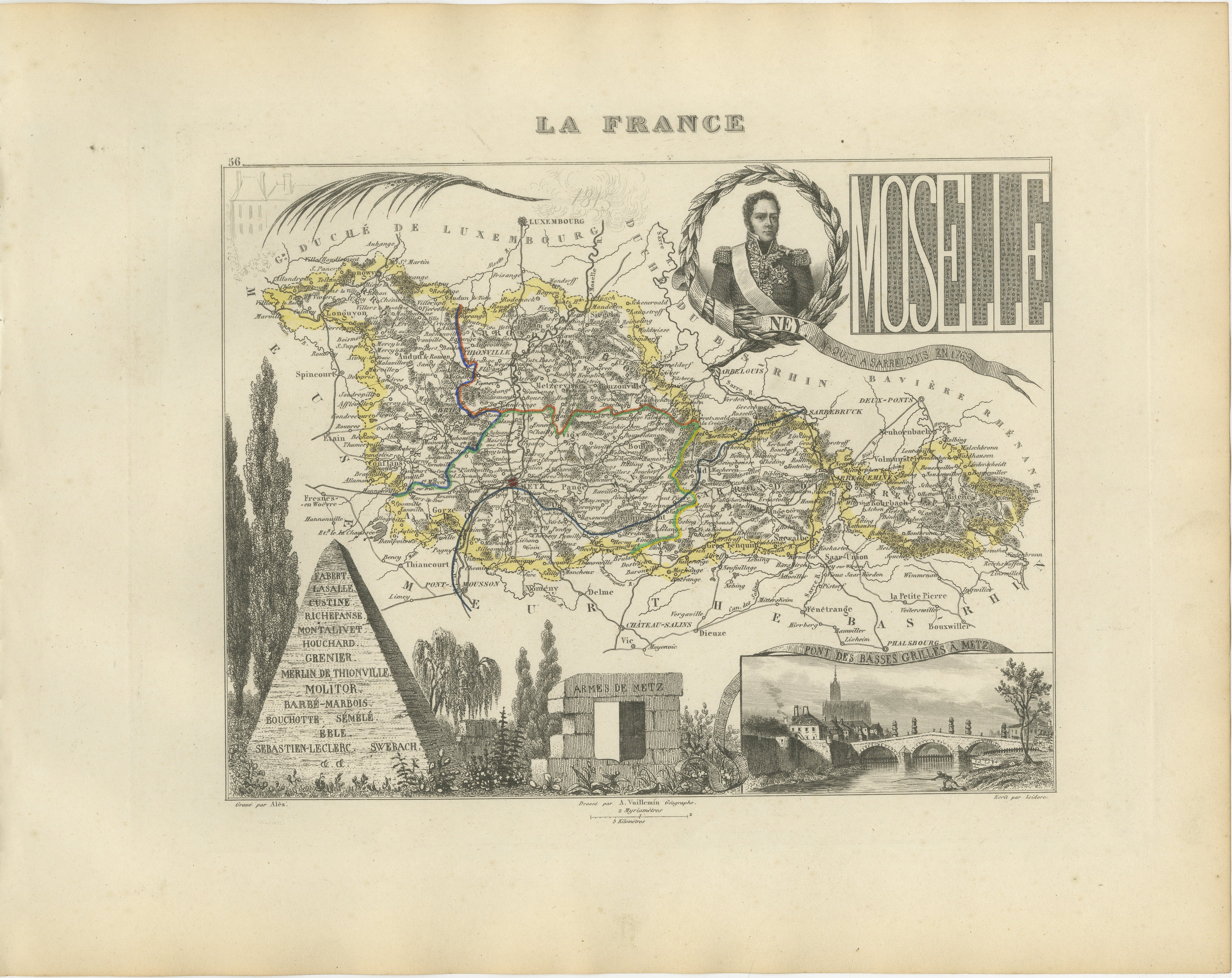
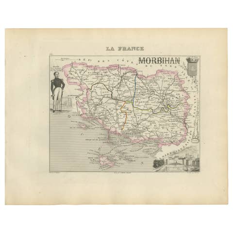
Original antique map of the historic French department of Moselle, published in Paris around 1850 by the distinguished French cartographer Alexandre Vuillemin.
The map was issued as part of Vuillemin’s celebrated decorative atlas La France Illustrée, admired for combining detailed regional cartography with elaborate historical and architectural imagery.
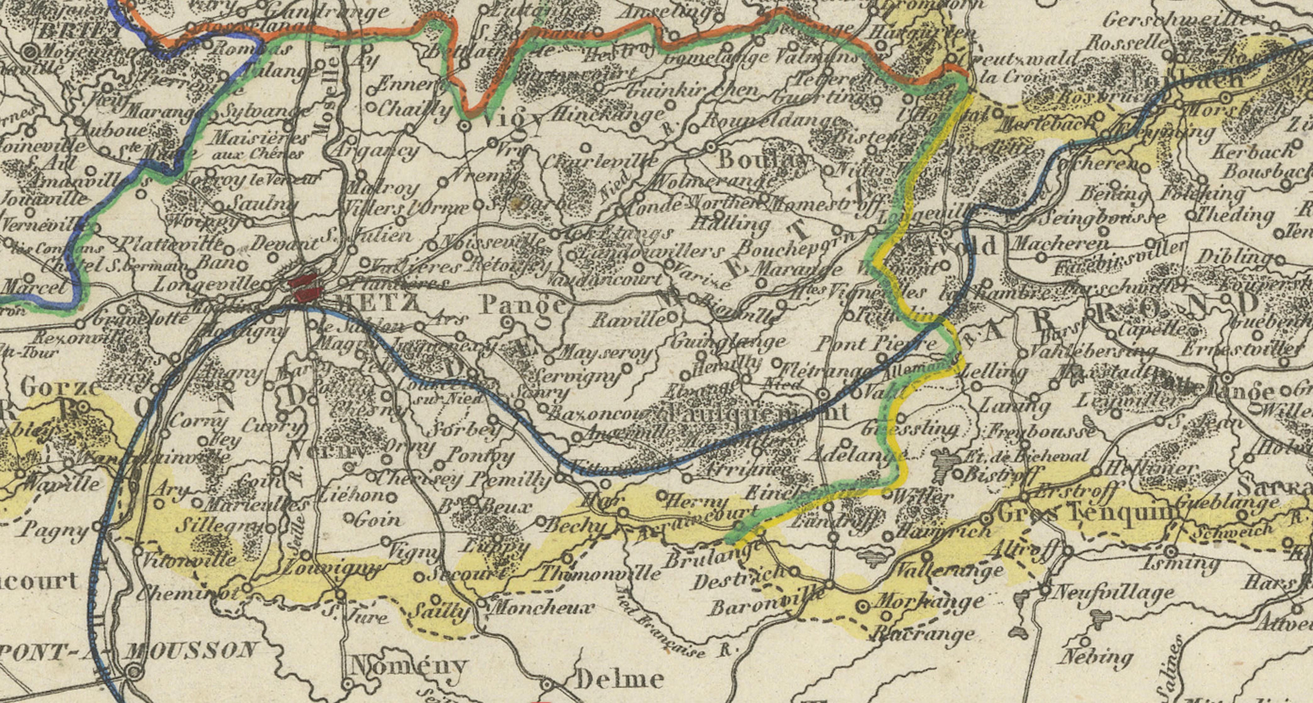
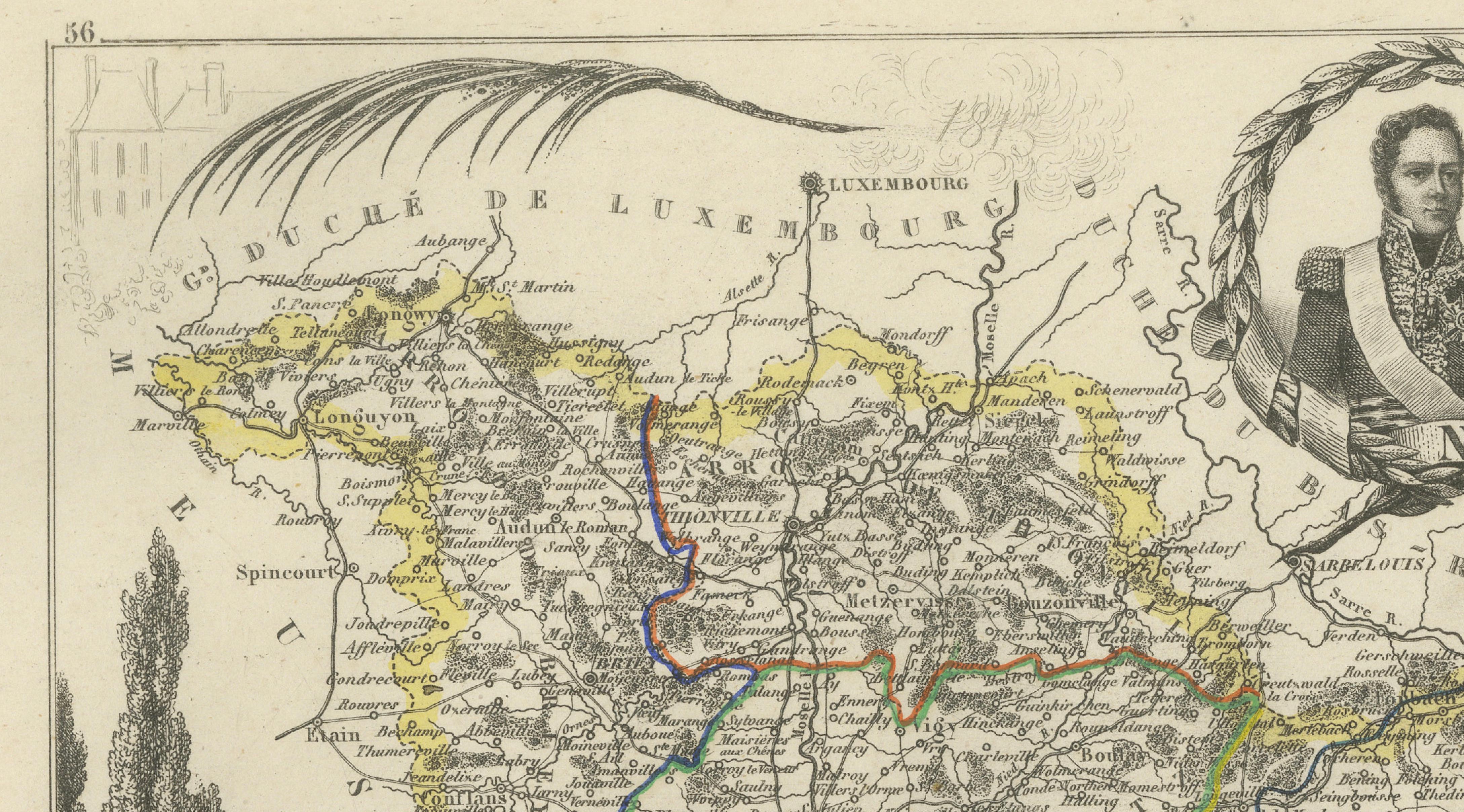
Roads, rivers, administrative boundaries, towns and villages are carefully identified, with the departmental borders enhanced in original hand colouring. The map presents the historic boundaries of Moselle before the territorial changes that followed the Franco-Prussian War of 1870–1871. It is numbered 56 according to the departmental numbering system used at the time.
Prominent places shown include Metz, Thionville, Longwy, Briey, Sarreguemines, Forbach, Bitche, Château-Salins, Sarrebourg, Pont-à-Mousson and Saint-Avold, together with numerous smaller communities across the Lorraine region.
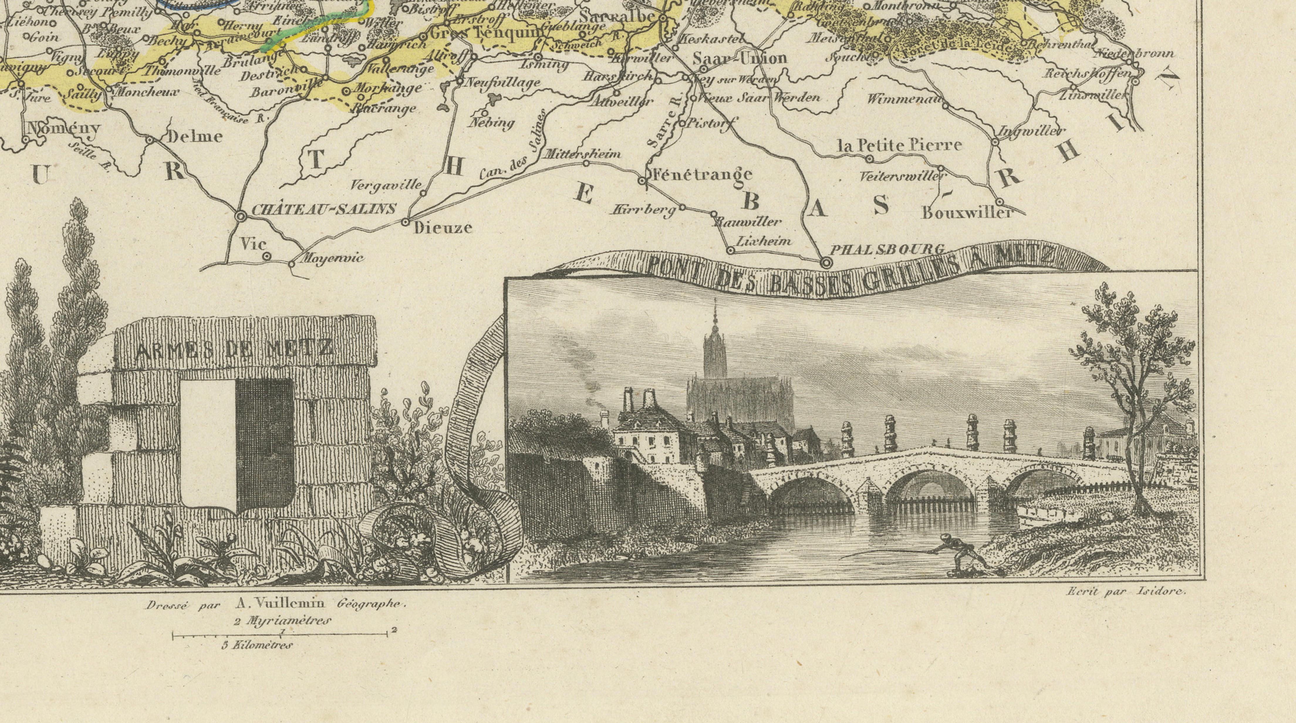
The decorative composition includes a portrait of Marshal Michel Ney, who was born in Sarrelouis in 1769, the historic arms of Metz, a view of the Pont des Basses-Grilles at Metz and a monument bearing the names of distinguished military figures associated with the region.
An attractive and historically important map for collectors of French cartography, Lorraine history, Napoleonic history and decorative nineteenth-century engravings.
This is an original antique engraving and not a modern reproduction. It is offered unframed.
Technique: Engraving with original hand colouring
Maker: Alexandre Vuillemin
Engraver: Alès
Place of Publication: Paris, France
Date: Circa 1850
Source: La France Illustrée
Region: Moselle, Lorraine, northeastern France
Condition:
Good antique condition with general age-related toning, scattered foxing, small marks and minor wear, particularly in the surrounding margins. The original hand-coloured boundary lines remain attractive and clearly visible. Wear is consistent with age and use. Please examine the images carefully as they form an important part of the condition description.
Keywords:
Alexandre Vuillemin, antique Moselle map, Moselle France map, historic Moselle department, Lorraine map, Grand Est map, Metz antique map, Thionville map, Longwy map, Briey map, Sarreguemines map, Forbach map, Bitche map, Château-Salins map, Sarrebourg map, Pont-à-Mousson map, Saint-Avold map, Sarrelouis map, Luxembourg border map, Saarland border, German border region, Moselle River, French departmental map, La France Illustrée, decorative French map, nineteenth-century cartography, antique French engraving, original hand colouring, Marshal Michel Ney, Napoleonic history, arms of Metz, Pont des Basses-Grilles, historic Lorraine, Franco-Prussian War map, pre-1871 France, French wine region, Moselle AOC wine, Vin de Moselle, Auxerrois wine, Riesling, Pinot Gris, Pinot Noir, Gewürztraminer, Müller-Thurgau, Lorraine wine, Munster cheese, Munster-Géromé, Carré de l’Est cheese, Tomme de Lorraine, Mirabelle de Lorraine, quiche Lorraine, French gastronomy, French regional history, antique wall decor, library decor, office decor, collector’s map, gift for Francophile, French heritage art