About this sheet
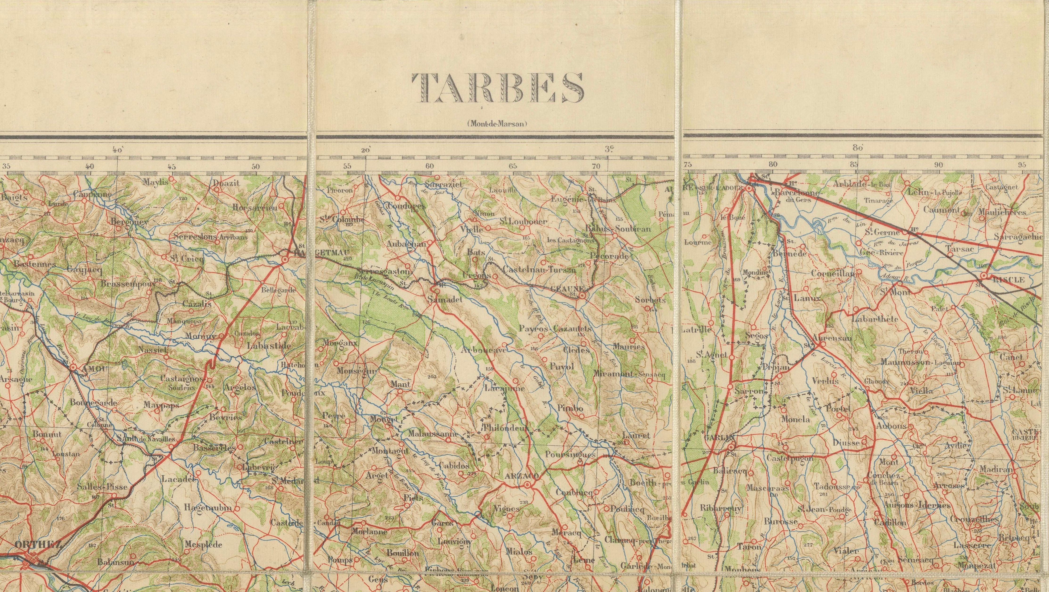
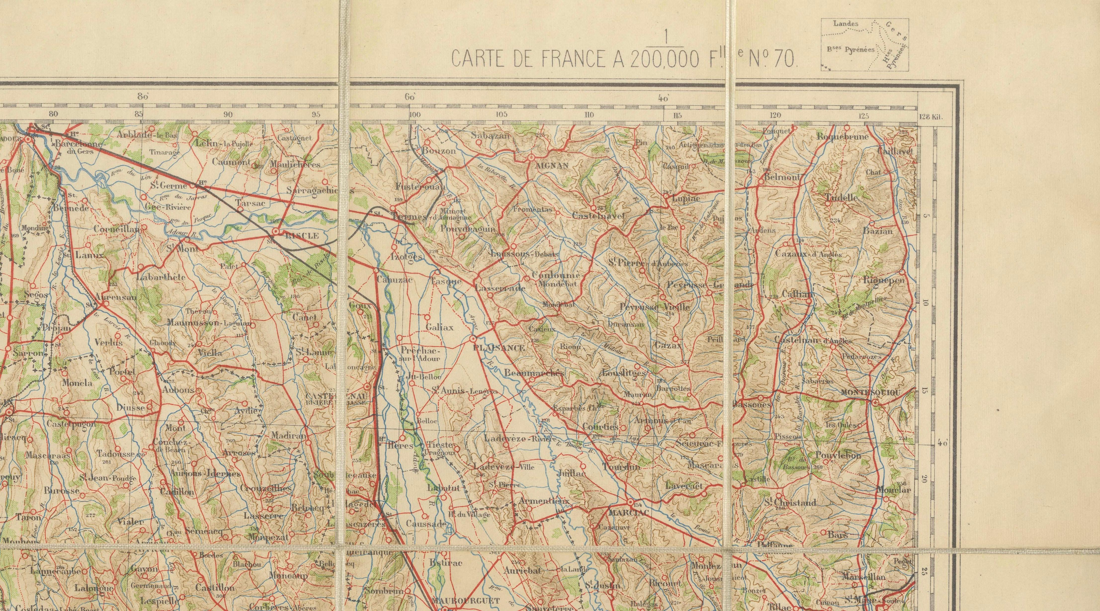
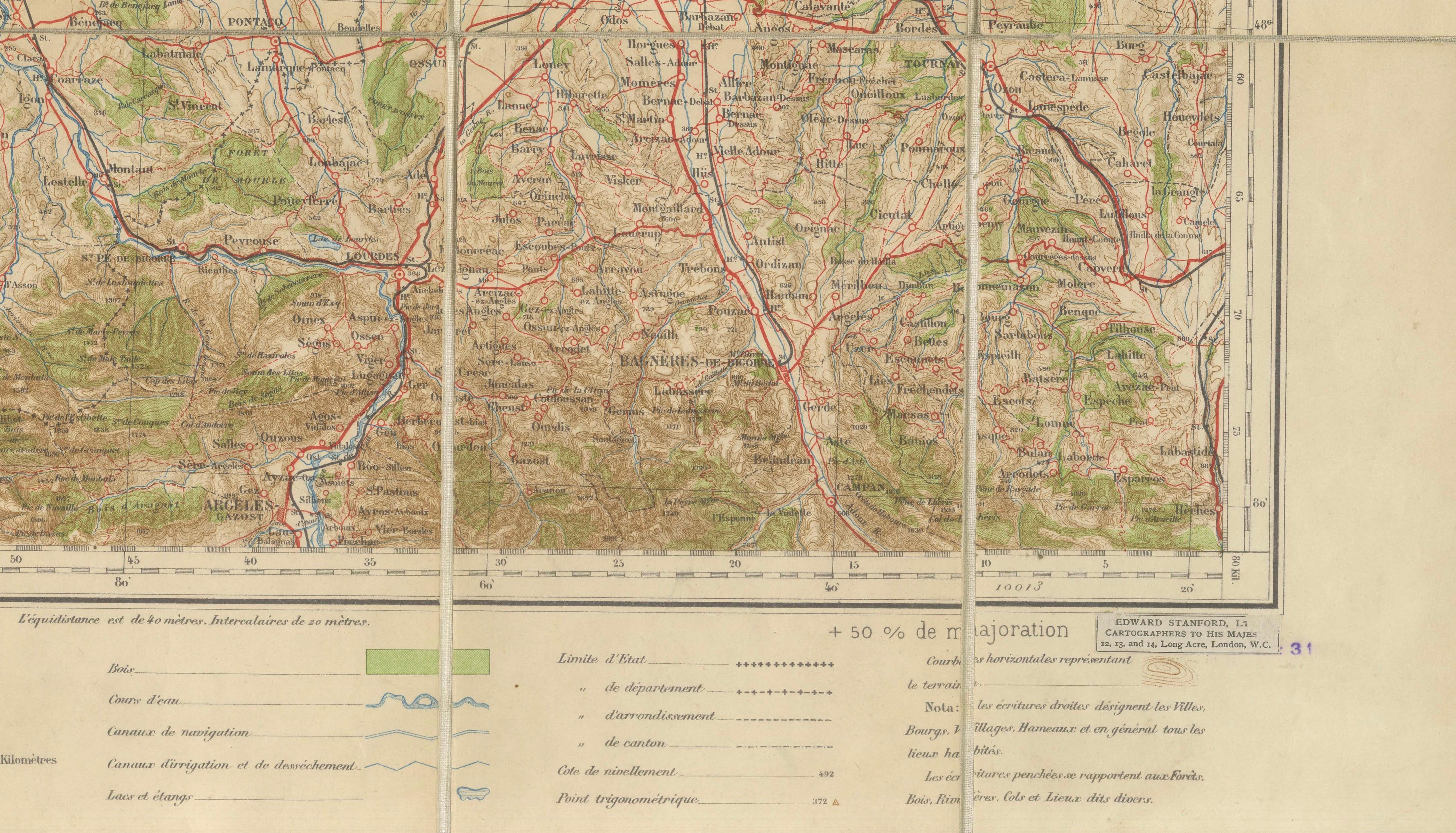
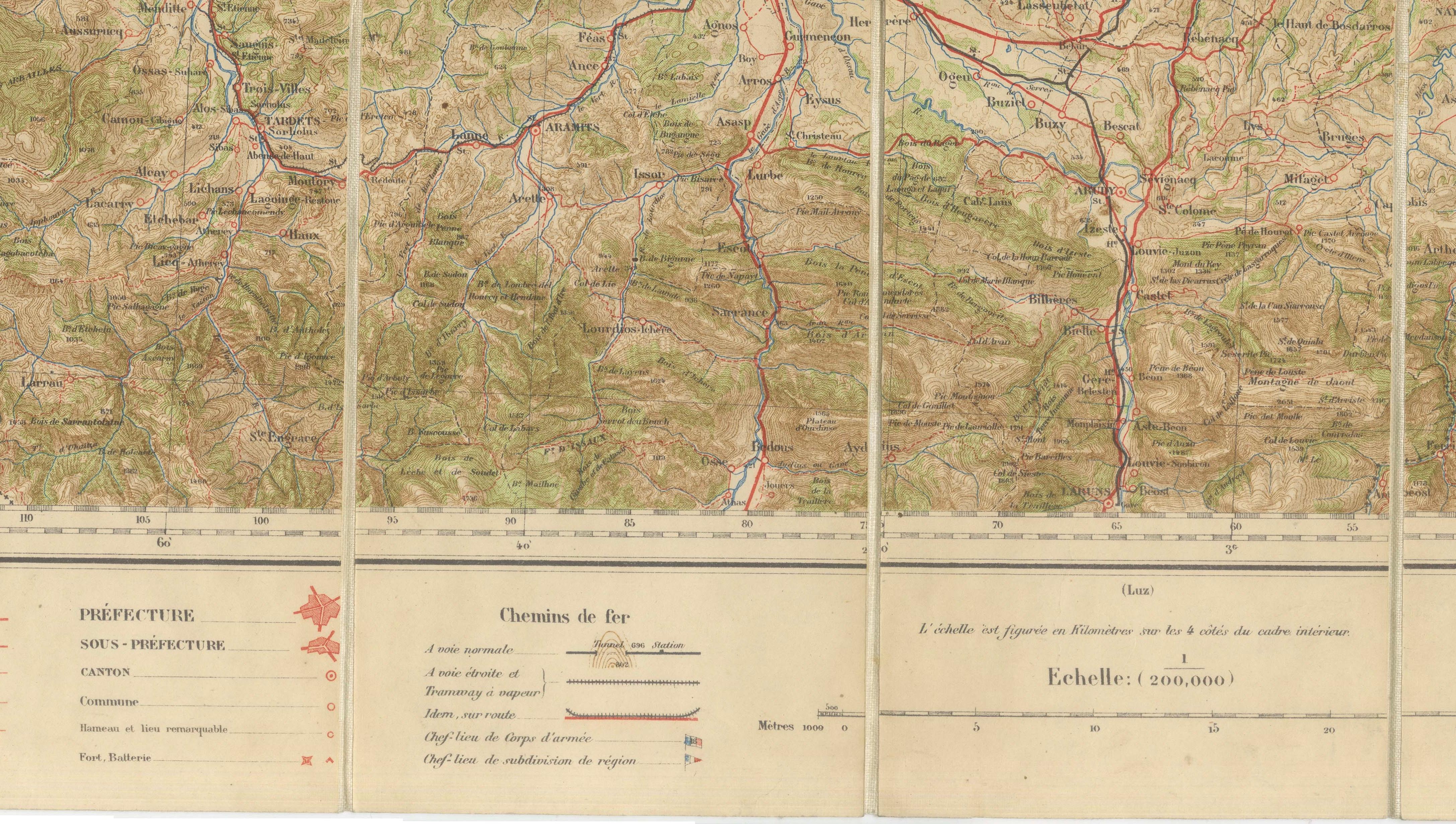
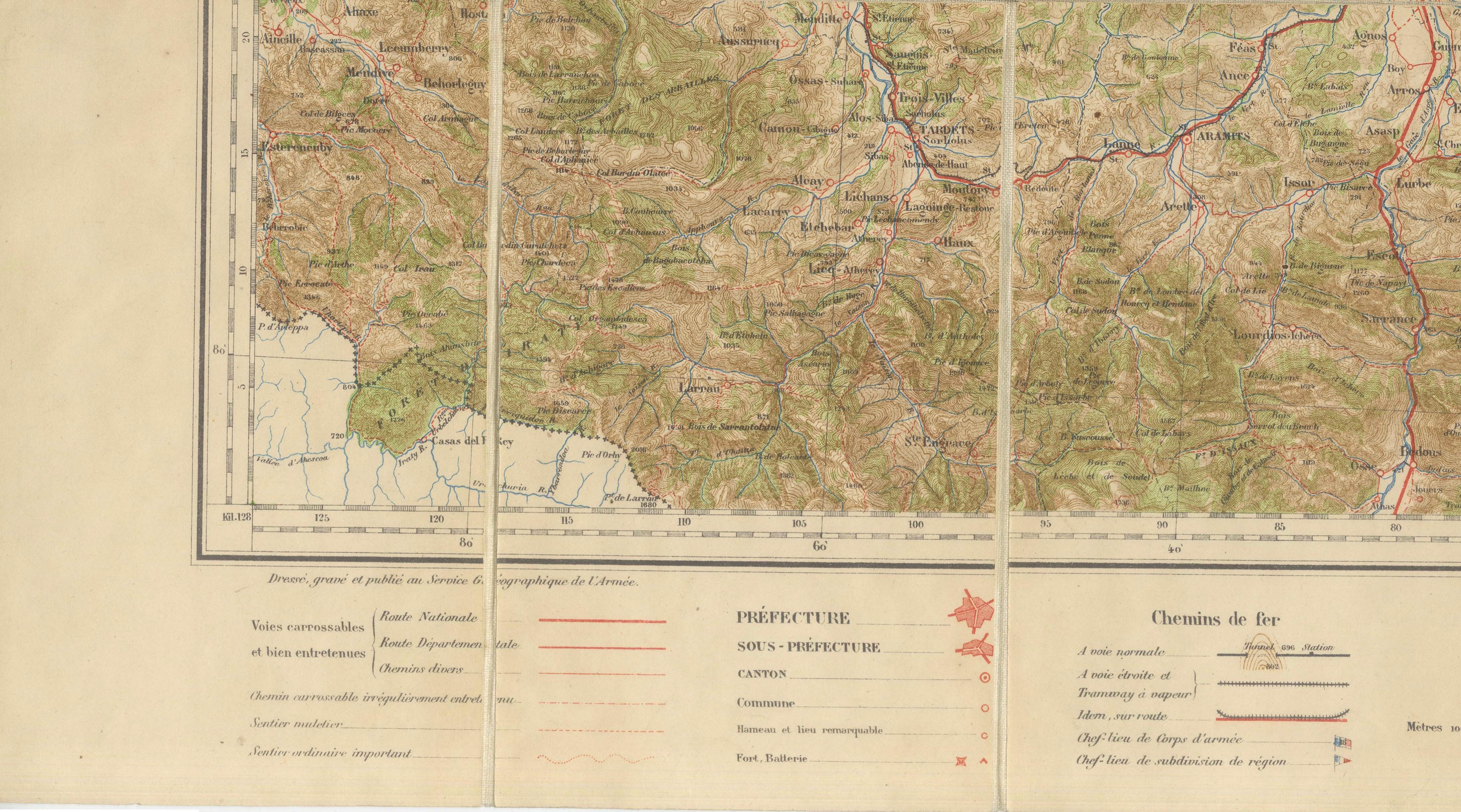
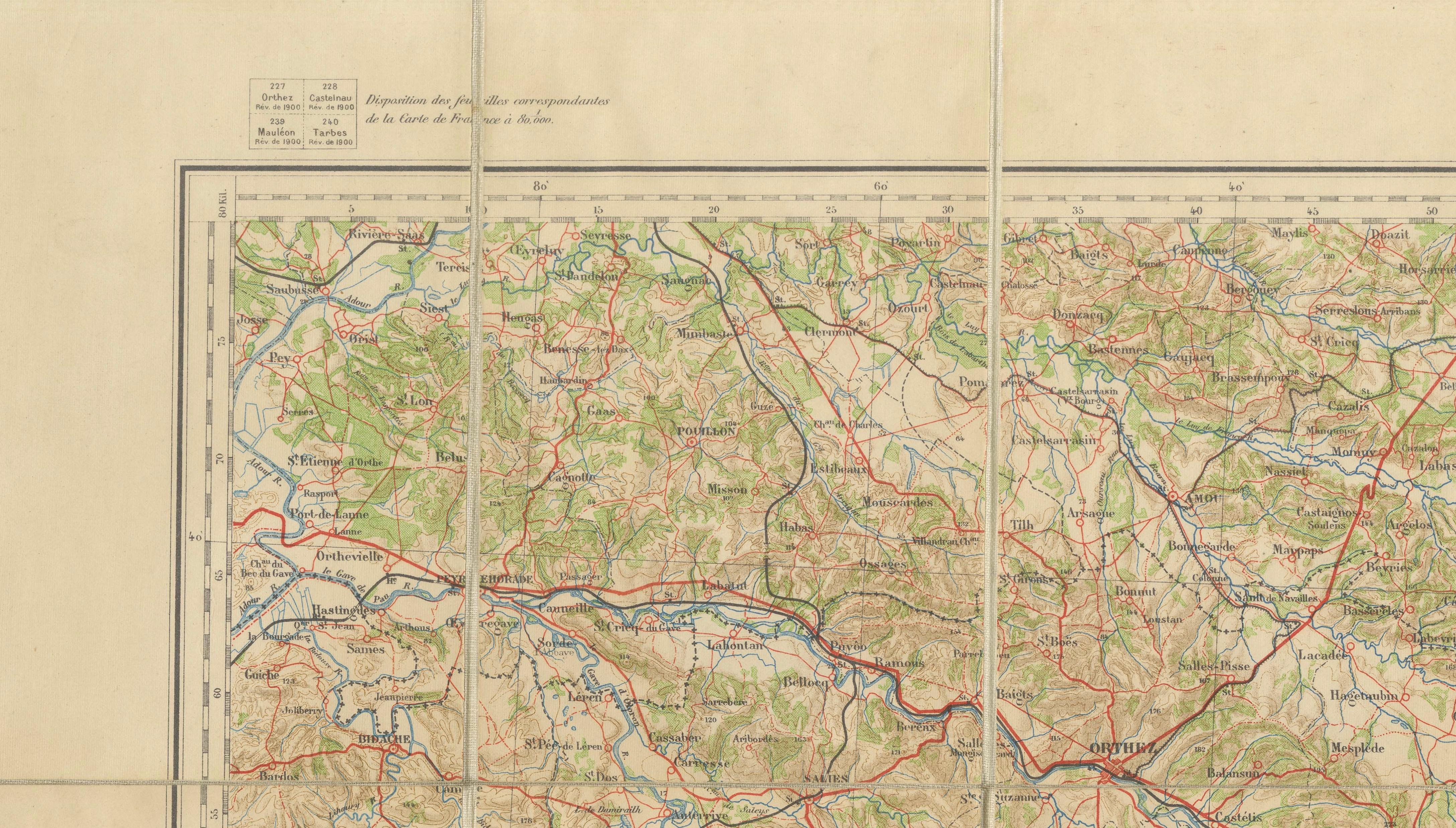
This original folding map of Tarbes and the Central Pyrenees was published in 1922 and distributed by Edward Stanford as Sole Agent in London. Issued as Sheet No. 70 of the celebrated Carte de France au 1:200,000 series, it presents one of the most dramatic and historically significant landscapes in southern France during the years immediately following the First World War.
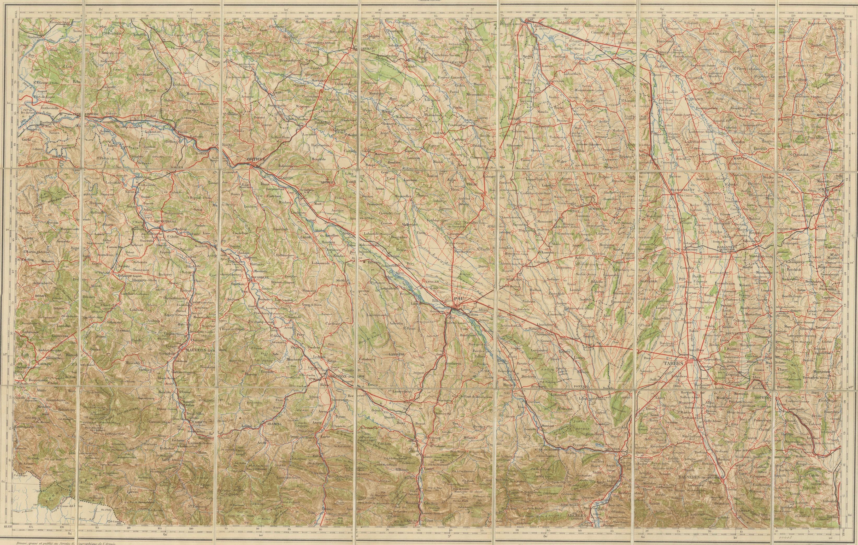
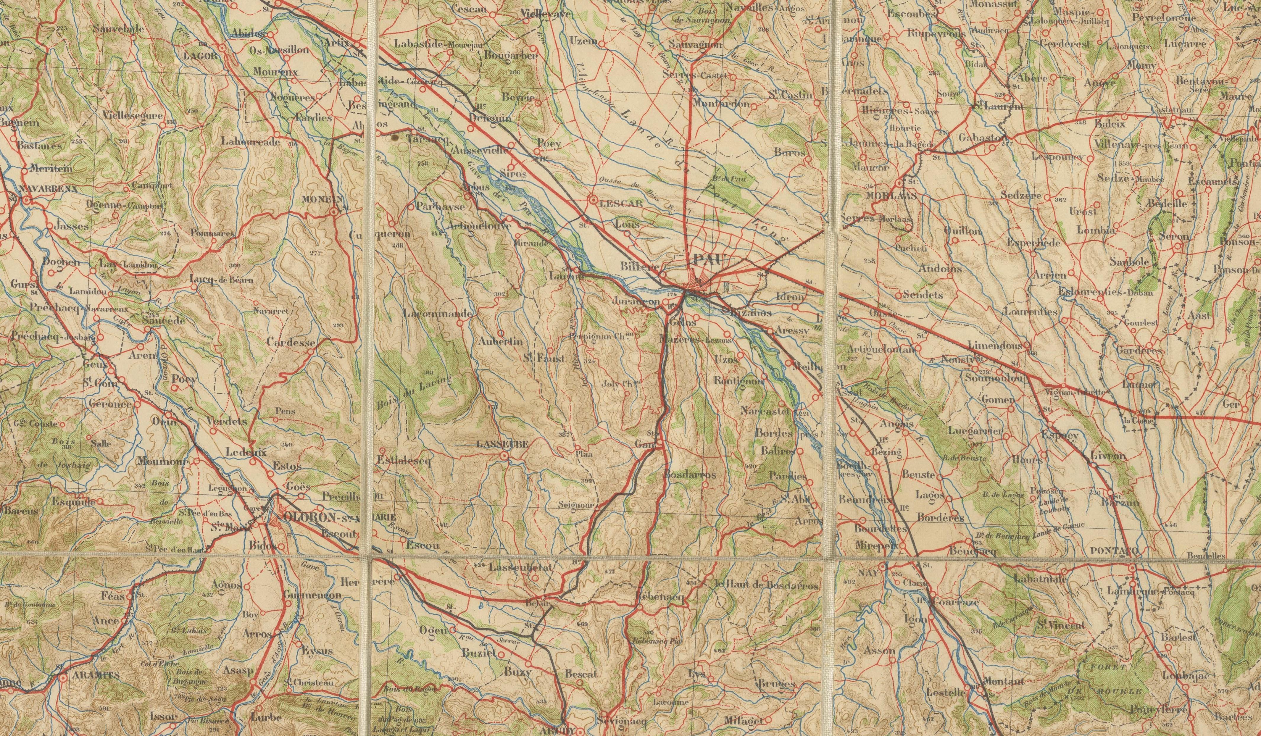
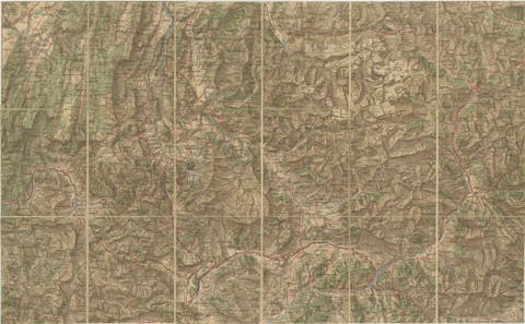
Centered on Tarbes, the map extends across the foothills and mountain valleys of the French Pyrenees, encompassing Lourdes, Pau, Bagnères-de-Bigorre, Lannemezan, and the routes leading toward the Spanish frontier. The lower portion of the sheet vividly captures the rugged mountain terrain through elegant relief shading, while the northern plains reveal a dense network of roads, railways, rivers, and settlements that connected the region to the rest of France.
Produced at a scale of 1:200,000, the map exemplifies the remarkable standards of French topographical cartography during the early twentieth century. Railways are clearly highlighted in red, waterways in blue, and wooded areas in green, creating a highly legible and visually attractive geographic record. Such maps served practical functions for travelers, government officials, engineers, and military planners, while also becoming indispensable companions for tourists exploring the Pyrenees.
By 1922, the region had entered a new era of prosperity and international tourism. Lourdes was already among Europe's most important pilgrimage destinations, attracting visitors from around the world, while the spa towns and mountain resorts of the Pyrenees flourished during the interwar years. The extensive railway infrastructure shown on the map reflects the growing accessibility of these once-remote mountain communities.
Edward Stanford's London establishment was internationally renowned for supplying the finest geographical publications available. Acting as exclusive British distributor, Stanford introduced official continental surveys to travelers, collectors, and institutions throughout the English-speaking world. This example represents both the practical excellence and decorative beauty that made Stanford maps so highly regarded.
This is an original 1922 map and not a later reproduction. Any framed illustrations used in our presentations are intended solely as visual inspiration. The map offered for sale is completely original and is sold unframed in its authentic antique condition.
Condition Report:
Good original antique condition, consistent with age and use. Original fold lines remain visible as issued. Light age toning and minor handling wear throughout, with occasional creasing associated with use as a portable folding map. Small marginal imperfections may be present. The printed image remains clear, attractive, and highly legible, with strong color and excellent topographical detail.
Framing Suggestions:
The map is sold unframed. The framed images shown in our listings are for visual inspiration only and are not included in the sale. For display, we recommend conservation mounting with all original margins and fold lines preserved as evidence of the map's historical use. A dark walnut or ebonized frame paired with an ivory museum mat complements the subtle colors and dramatic relief shading. UV-protective museum glass is strongly recommended. The piece is ideally suited to mountain homes, libraries, studies, wine estates, and interiors inspired by French travel and Alpine heritage.