maps-prints.com
✦
Black Friday Sale
Friday 20 to Monday 30 November: up to 30% off original antique maps and prints
The terms
- Up to 30% off selected original antique maps and prints. Every piece is an original, printed in its own time; none is a reproduction.
- The sale runs from Friday 20 November to Monday 30 November. Sale prices shown here apply from Friday 20 November; until then pieces are sold at their regular price.
- Free FedEx shipping on qualifying orders placed on our own websites: USA, Canada, UK and Europe over $500 / €450; rest of the world over $750 / €675. Smaller orders pay our normal shipping rate.
- Orders placed from 15 to 30 November ship from 1 December, in time for Christmas. Our shipping partner is InXpress.
- Each piece is unique, so the sale is while stock lasts.
Collection:AllAmericanSea chartsMilitaryNatural historyFashionArchitectureBotanicalSacredEast Indies
Sale prices apply from Friday 20 November. Save the pieces you like with the heart and come back on Friday.
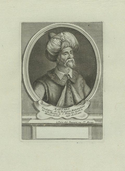 Prophet Muhammad (Mahomet) – 18th Century Paris Engraving by Daumont, c.1770
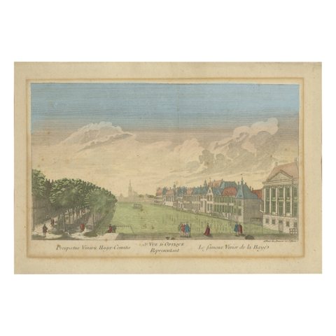 Optica View The Hague Hofvijver & Binnenhof, Basset c.1770 Hand-Colored Print
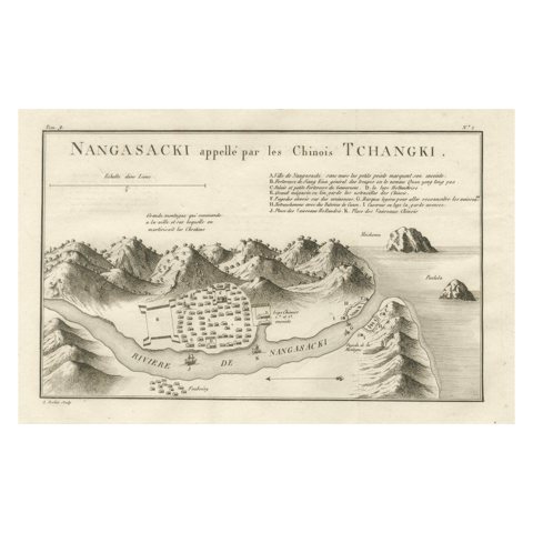 Antique Map of Nagasaki – Nangasacki Called Tchangki by the Chinese, circa 1790
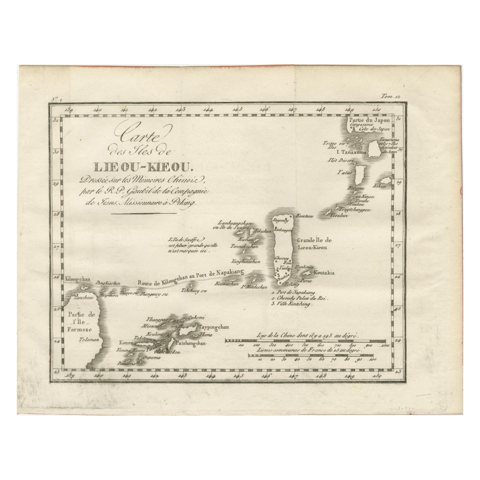 Antique Map of the Ryukyu Islands – Map of the Islands of Lieou-Kieou, c.1760
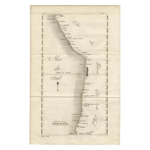 Antique Map of the Coast of Peru and Chile – Detailing Ports & Coastlines, c1760
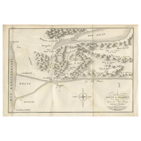 Antique Map of the Route of the Hebrews – Egypt to the Red Sea, 1720
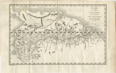 Antique Map of the Amazon River – Maragnon or River of the Amazons, c.1760
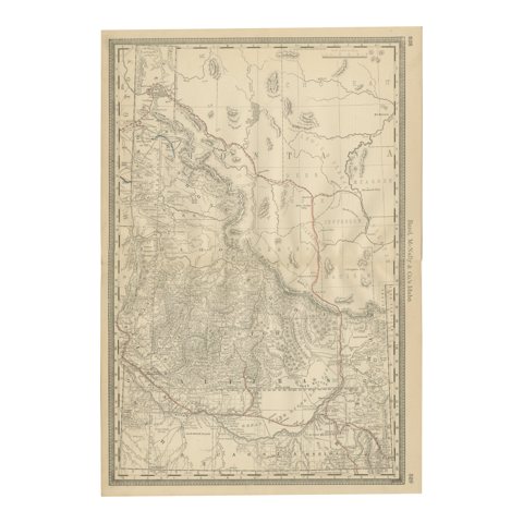 1888 Idaho Map – The Gem State’s Railroads, Mining Camps & Counties
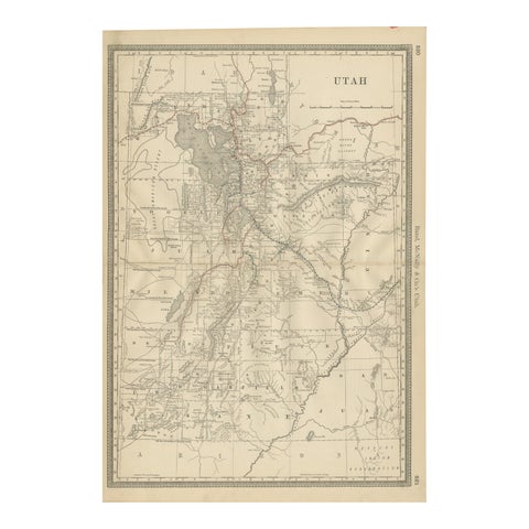 Rare 1888 Utah Map – The Beehive State’s Railroads, Counties & Great Salt Lake
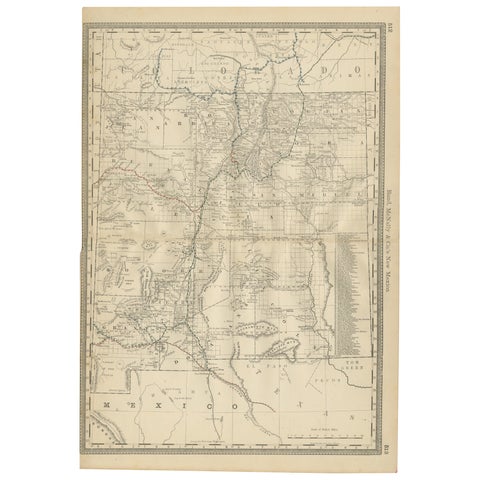 1888 New Mexico Map – Railroads, Counties & The Land of Enchantment
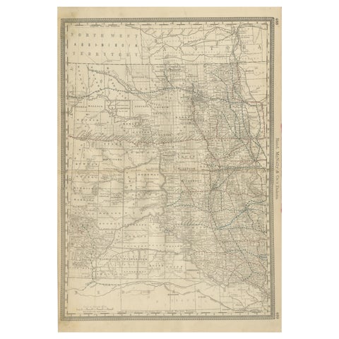 Dakota Territory Railroad Map 1888 – Rand McNally Antique Lithograph
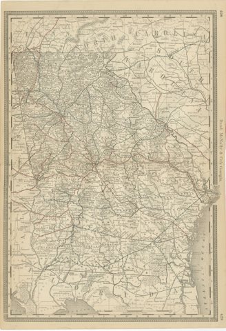 Georgia 1888 Antique Map – Railroads, Settlements & Frontier Counties
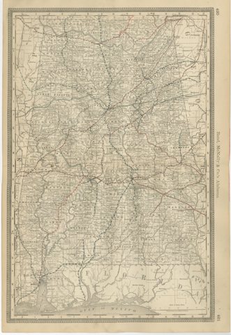 Alabama Antique Map 1888 – The Heart of Dixie, Railroads & Towns
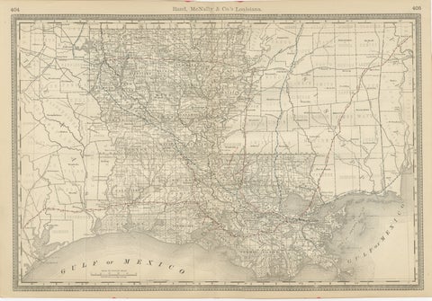 Louisiana Antique Map 1888 – The Pelican State, Railroads & Counties
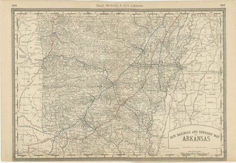 Antique Map of Arkansas 1888 – The Natural State, Railroads & Cities
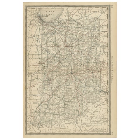 Antique Map of Indiana – The Hoosier State with Railroads & Counties, 1888
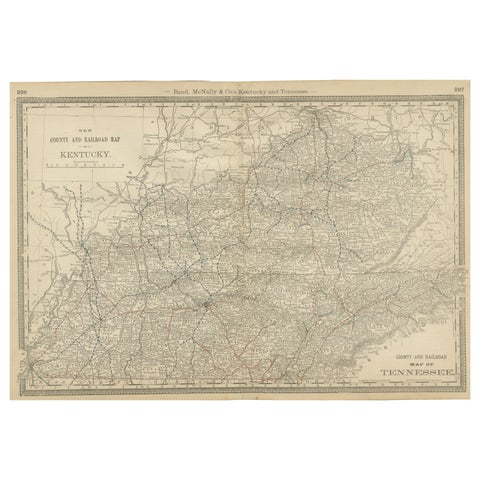 Antique Map of Kentucky & Tennessee – The Bluegrass & Volunteer States, 1888
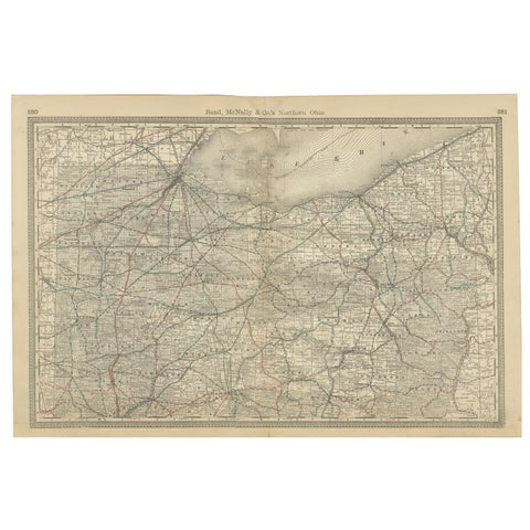 Antique Map of Northern Ohio – The Buckeye State with Railroads & Counties, 1888
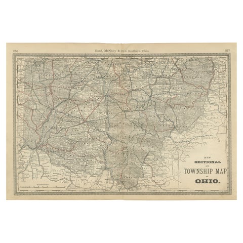 Antique Map of Southern Ohio – The Buckeye State - Railroads & Townships, 1888
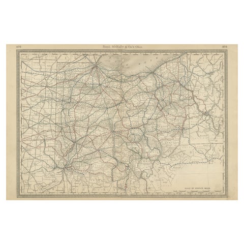 Antique Ohio Map c.1888 – Buckeye State Railroads, Towns & Settlements
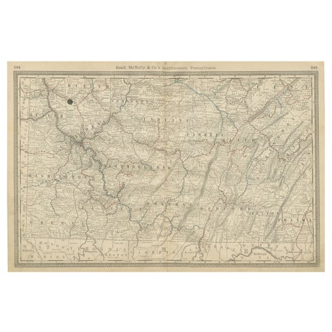 Southwestern Pennsylvania Antique Map c.1888 – Keystone State Counties & Cities
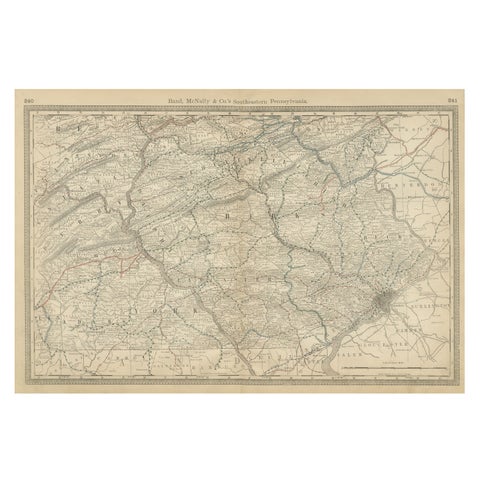 Pennsylvania 1888 Antique Map – The Keystone State, Southeastern Railroads
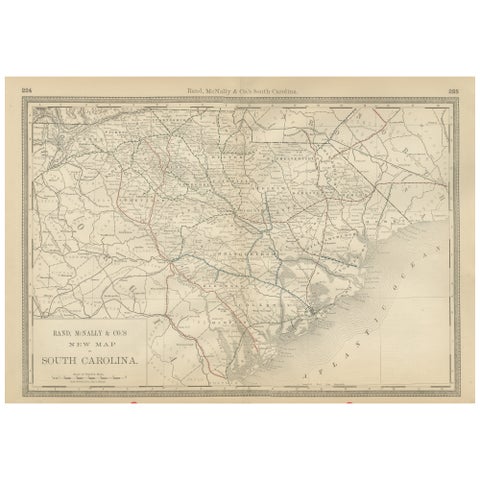 South Carolina Antique Map c.1888 – The Palmetto State, Railroads & Counties
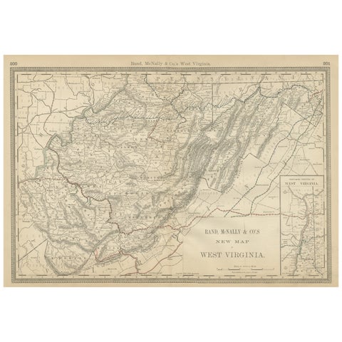 West Virginia Antique Railroad Map c.1888 – Mountain State Counties & Towns
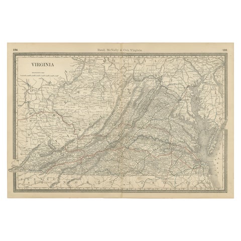 Antique Virginia Map c.1888 – Railroads, Towns & The Old Dominion
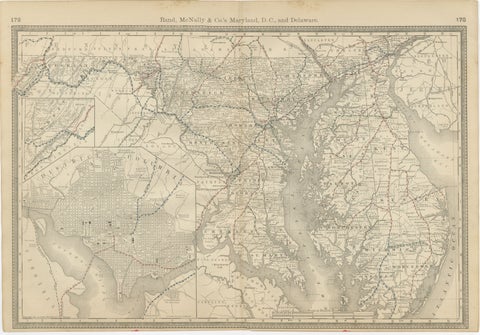 Maryland, D.C. & Delaware Antique Map – Old Line State Railroads, c.1888
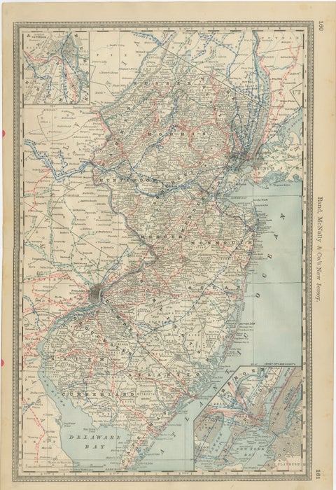 New Jersey Antique Map – The Garden State, Railroads & Counties, c.1888
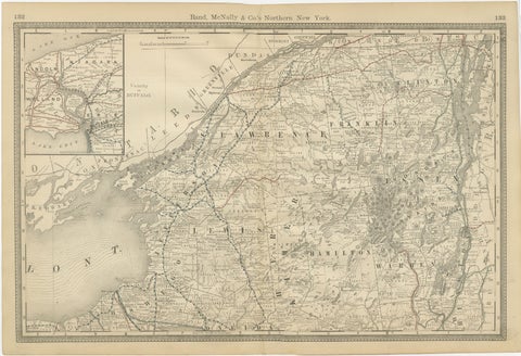 Antique Map of Northern New York – Rand McNally, circa 1888
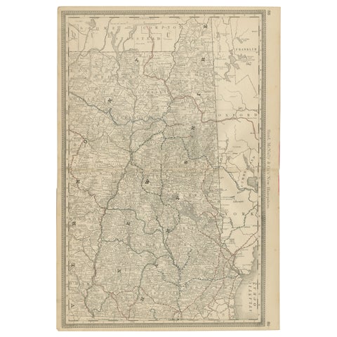 New Hampshire Antique Railroad Map c.1888 – Granite State Counties & Cities
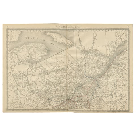 Quebec Antique Railroad Map c.1888 – La Belle Province, Cities & Towns
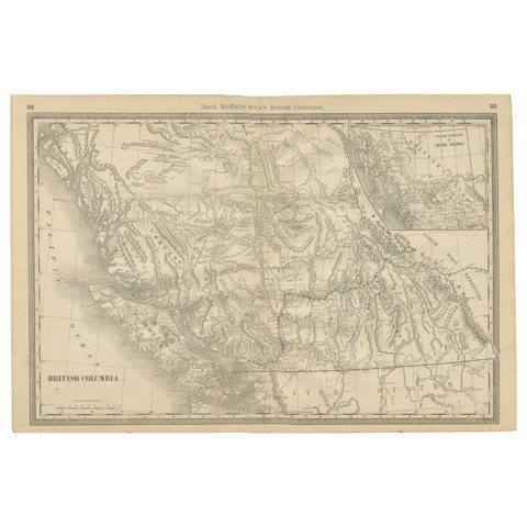 British Columbia 1888 Antique Map – Beautiful BC, Towns & Settlements
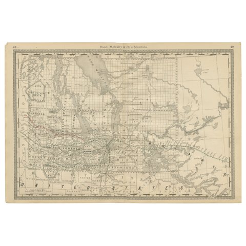 Manitoba Antique Railroad Map c.1888 – Keystone Province Cities & Towns
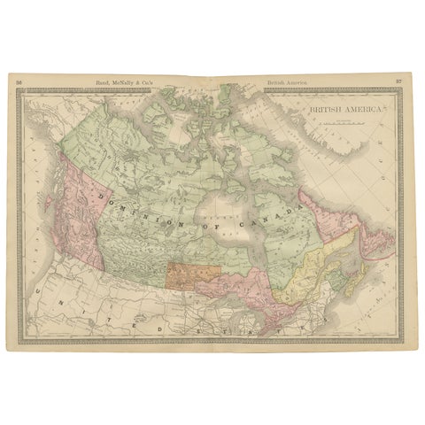 Canada Antique Railroad Map c.1888 – British America, Cities & Regions
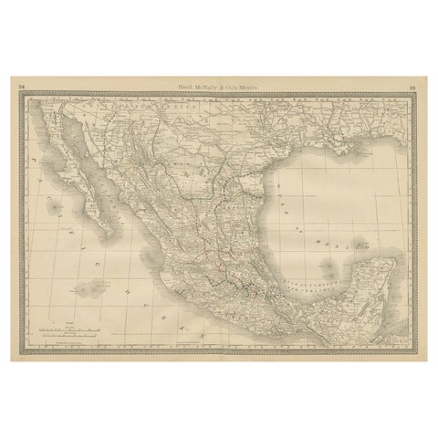 Mexico Antique Railroad Map c.1888 – Cities, States & Land of the Aztecs
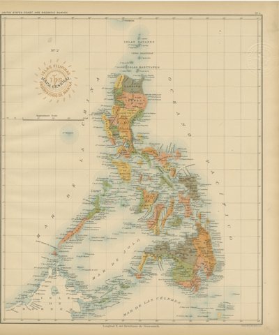 Antique Map of the Philippine Islands – Observatorio de Manila, 1899
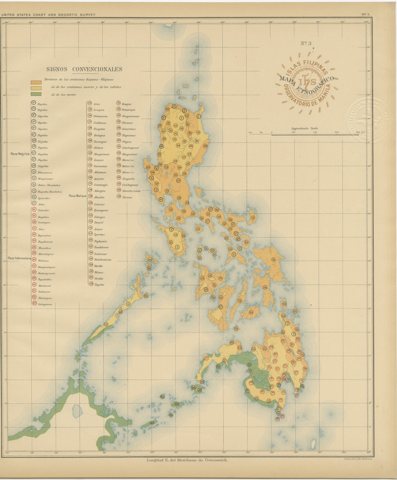 Ethnographic Map of the Philippine Islands – Observatorio de Manila, 1899
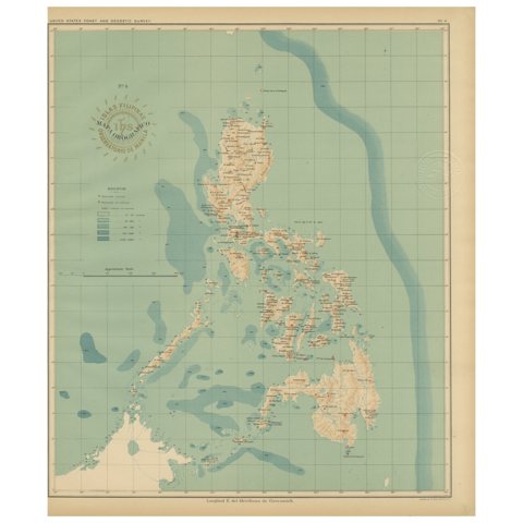 Orographic Map of the Philippine Islands – Observatorio de Manila, 1899
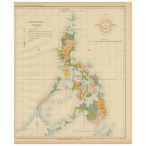 Philippine Meteorological & Seismological Network Map – Manila Observatory, 1899
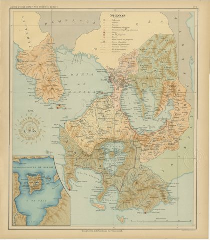 Map of Manila Bay and Southern Luzon – Observatorio de Manila, 1899
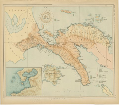 Map of Southern Luzon and Camarines Provinces – Observatorio de Manila, 1899
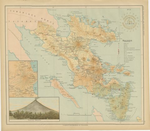 Map of Southeastern Luzon and Mayon Volcano – Observatorio de Manila, 1899
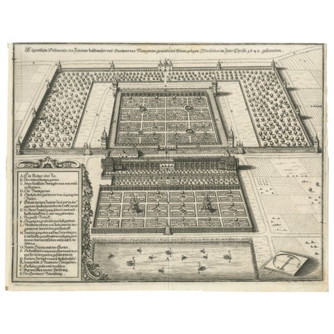 Baroque Garden and Palace near Vienna – Antique Architectural Engraving, 1649
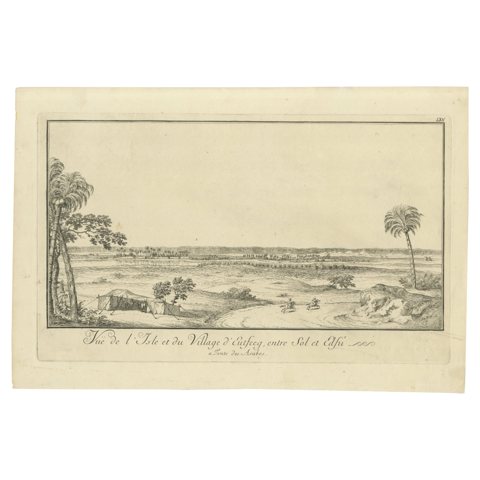 Island and Village of Cufeeq between Sol and Cafi – Egypt Engraving, c.1755
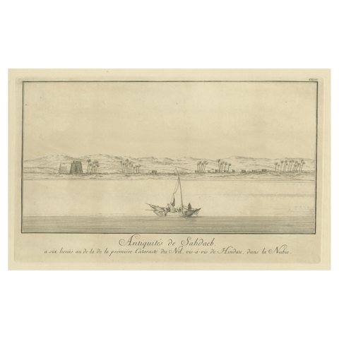 Antiquities of Sahdaab near the First Cataract – Egypt Engraving, c.1755
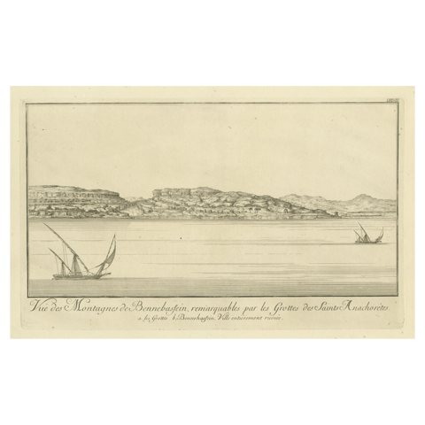 Mountains of Bennehassein and Hermit Grottos – Nile Engraving, c.1755
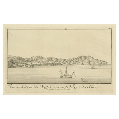 Mountains of Abyssode opposite Umm el Gusur – Nile View, c.1755
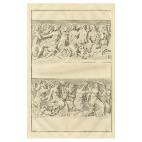 Large Antique Classical Relief Scene – Montfaucon Antiquity Explained, 1721
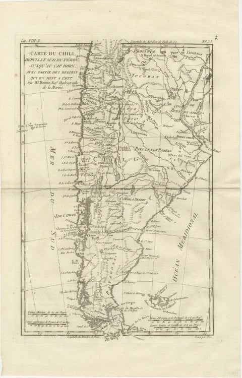 Chile from Peru to Cape Horn – Enlightenment Map by Rigobert Bonne, c.1780
Sharing the sale? Download the Black Friday banners.