About this sheet
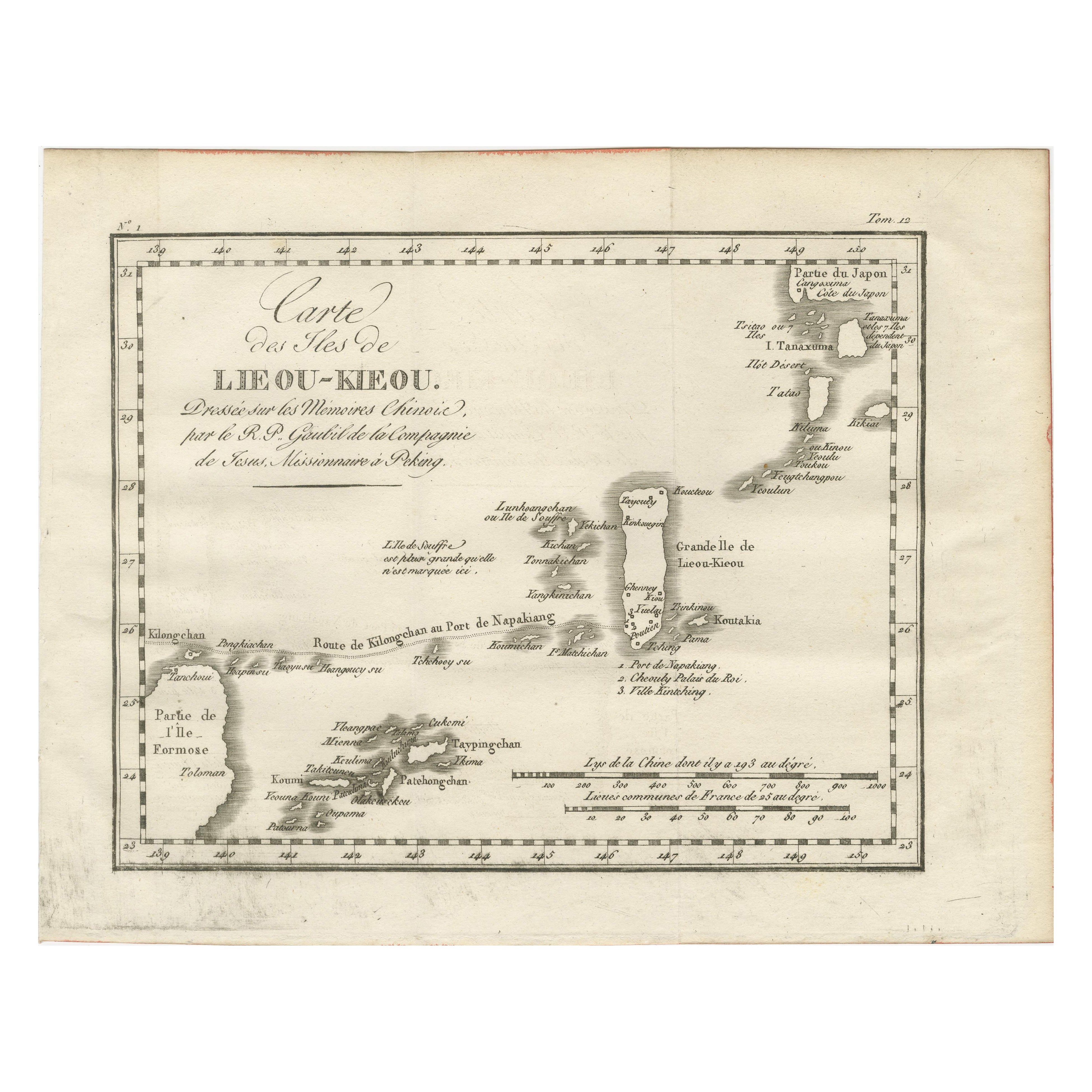
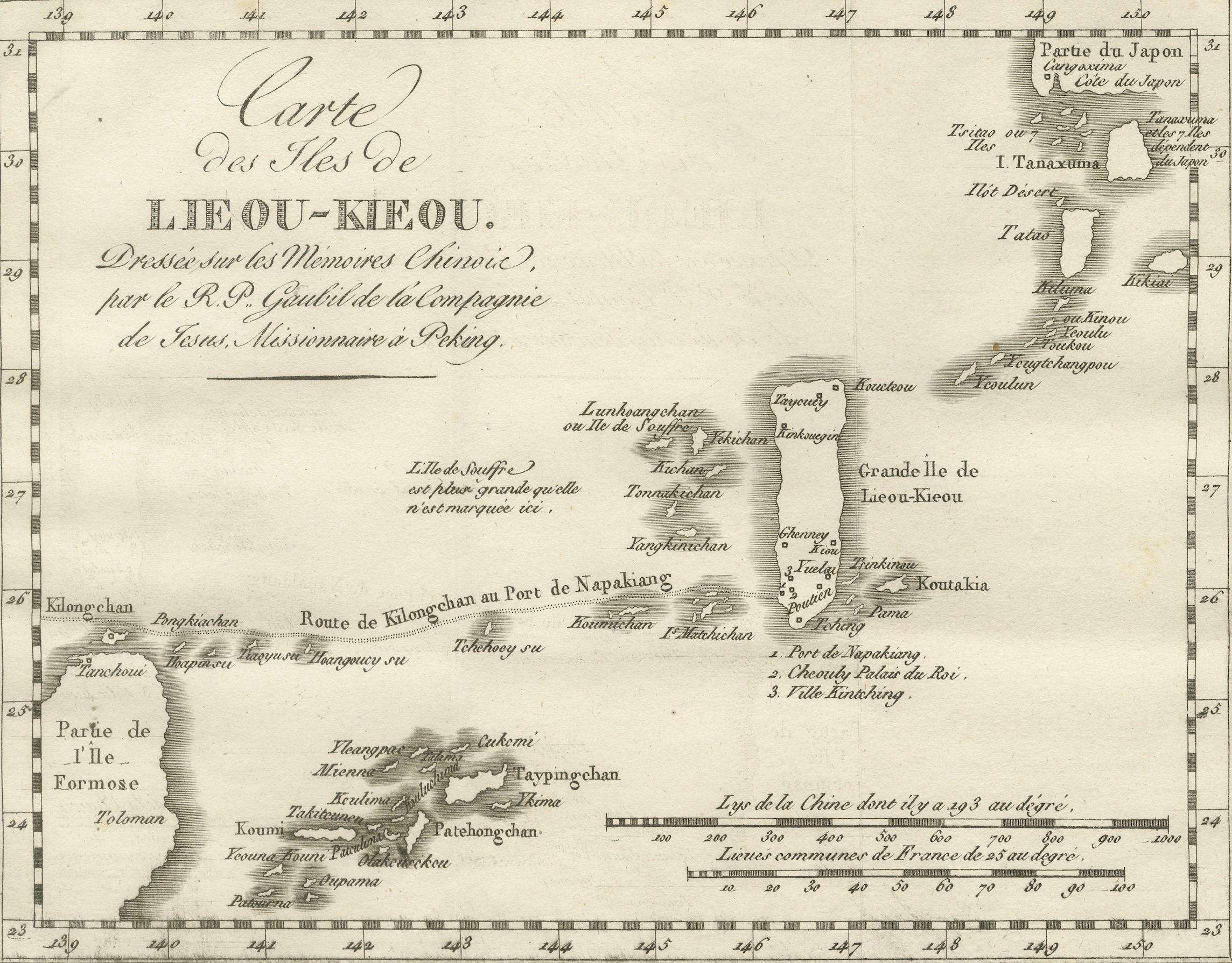
Map of the Ryukyu Islands – “Carte des Isles de Lieou-Kieou”, c.1760
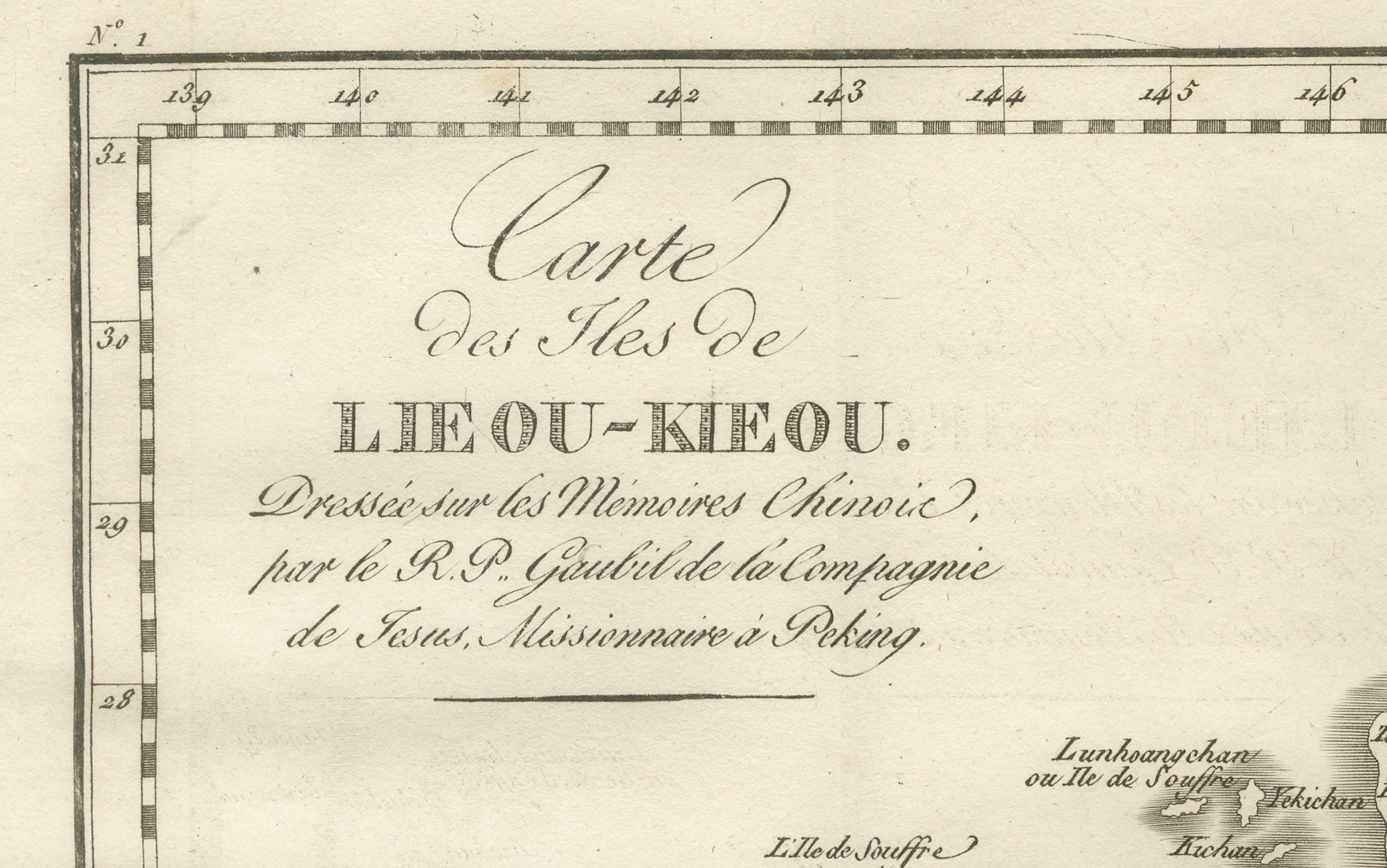
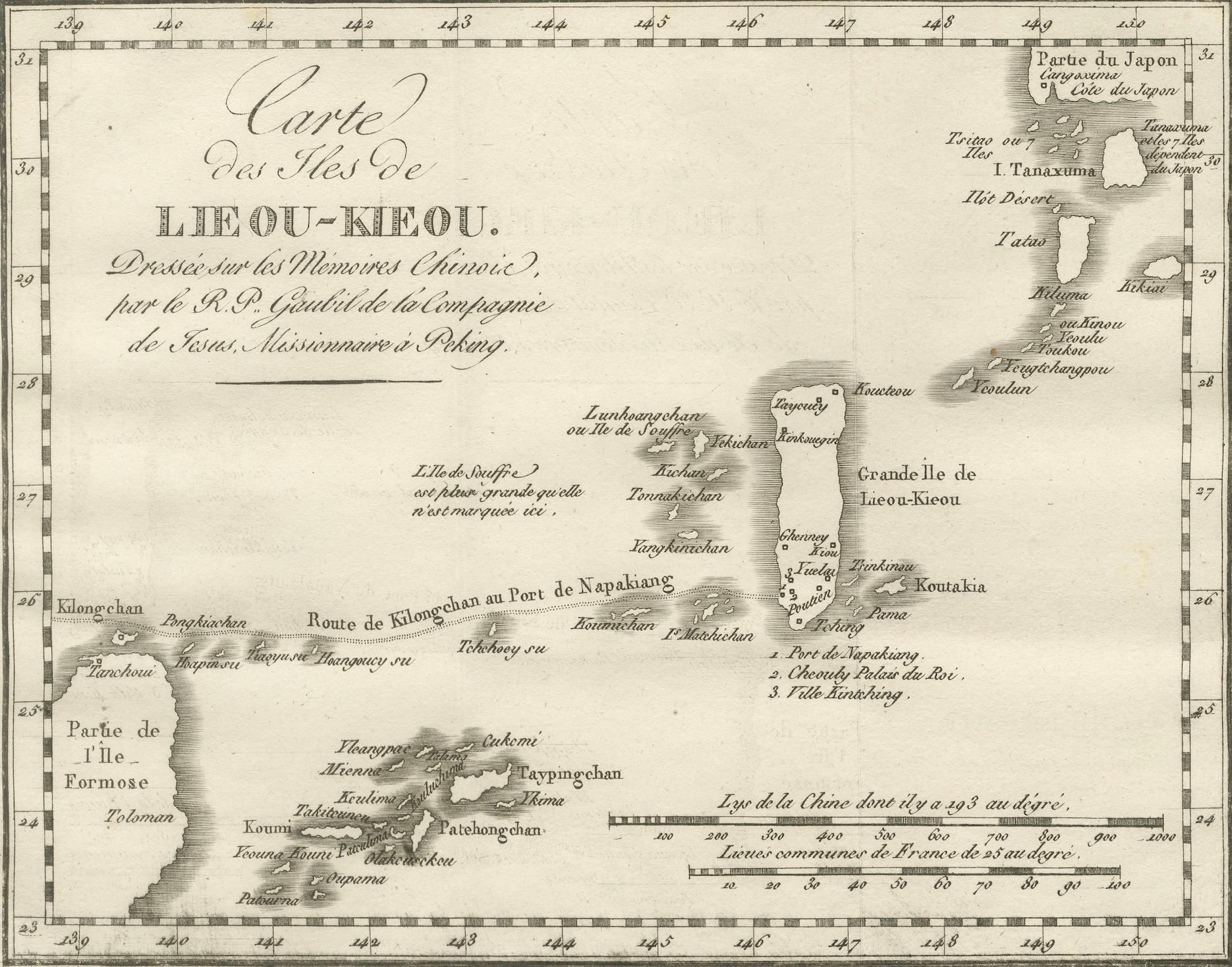
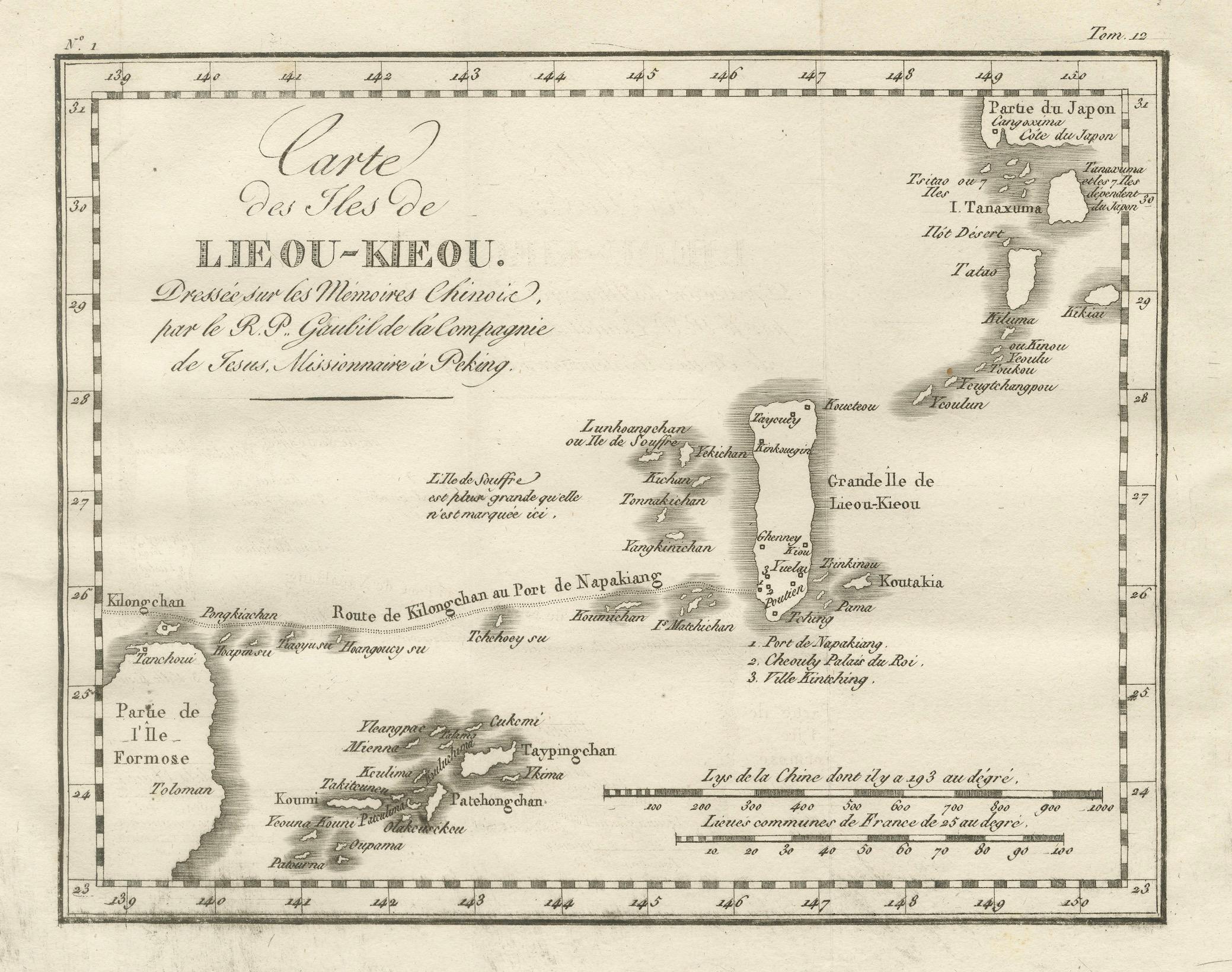
This rare 18th-century copperplate map, titled Carte des Isles de Lieou-Kieou, presents the Ryukyu Islands (today Okinawa Prefecture, Japan) and surrounding waters, based on Chinese sources. Ishigaki Island should be on the map as well. The title notes that it was “Dreſsée sur les Mémoires Chinois, par le R.P. Gaubil de la Compagnie de Jésus, Missionnaire à Péking” — compiled from Chinese records by the Jesuit missionary Jean-Baptiste Joseph Gaubil during his time in Beijing.
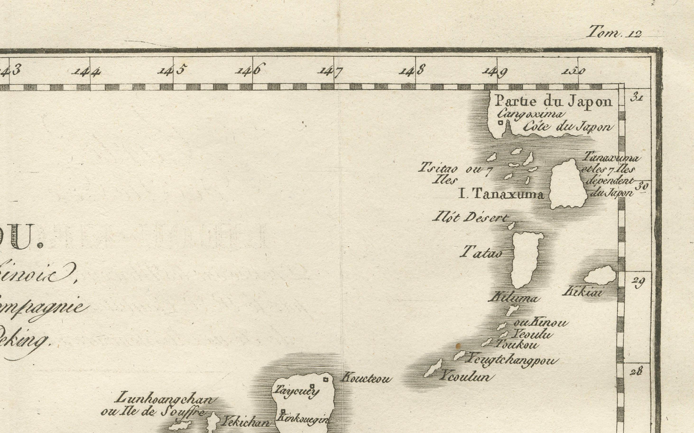
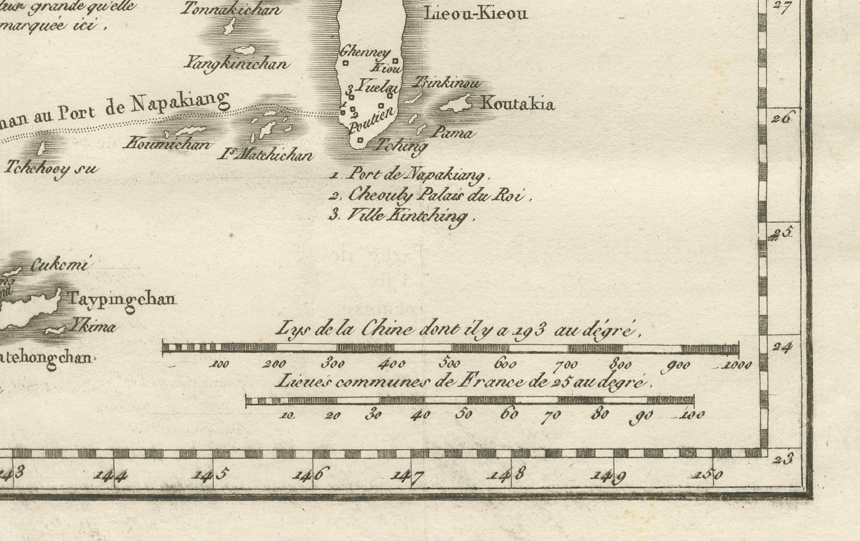
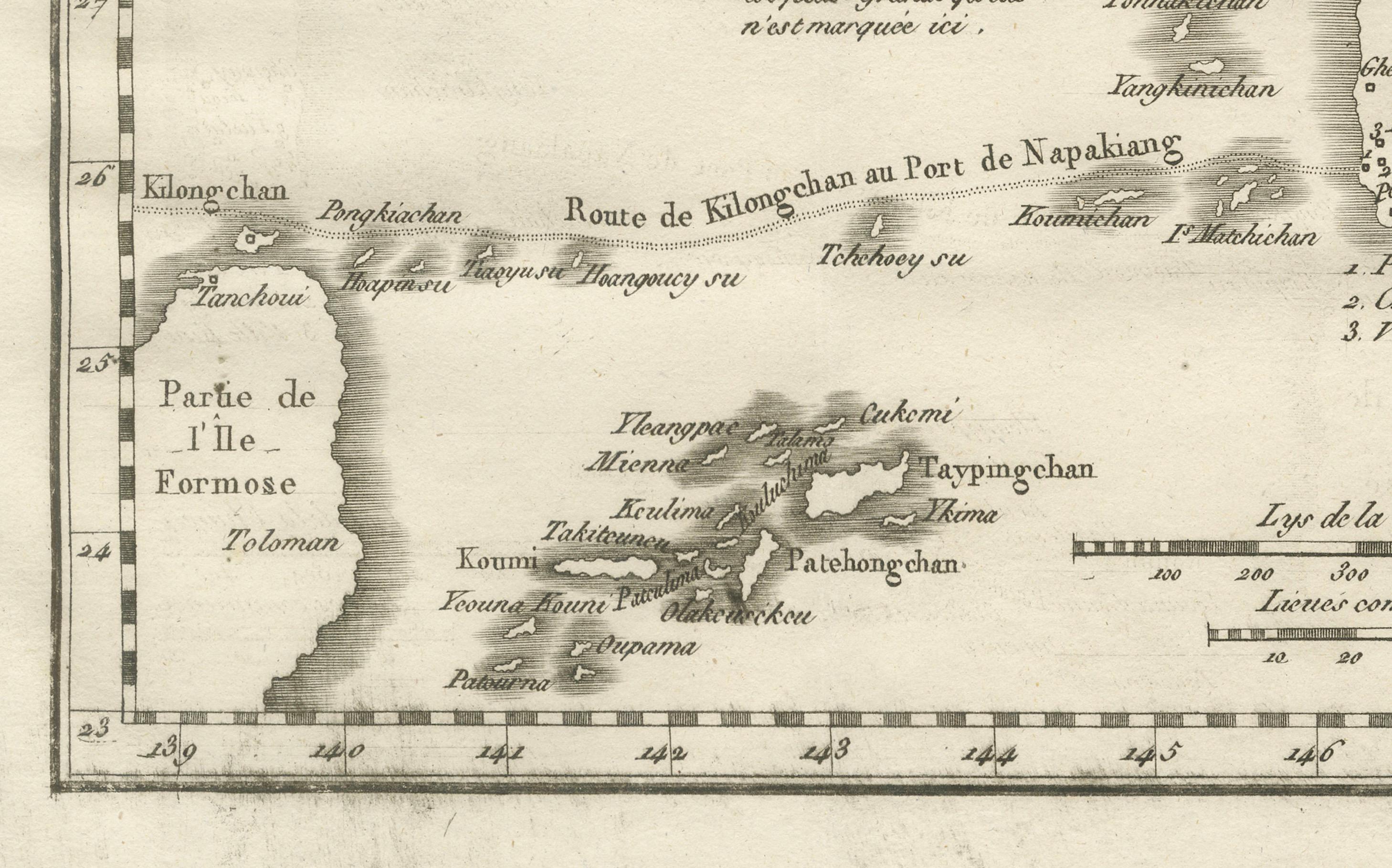
The map covers the island chain stretching from the southern tip of Japan to Taiwan (Isle de Formose), with individual islands carefully named in French transliterations of Chinese forms. Among the labeled locations are the “Grande Isle de Lieou-Kieou” (Okinawa), “Port de Napakiang” (Naha), “Ile de Sooloo”, “Tanaxima” (Tanegashima), and “Kilongchan” on Formosa. Coastal features, settlements, and sailing routes are also marked, including the “Route de Kilongchan au Port de Napakiang.”
The engraving reflects the Jesuit role in transmitting East Asian geographic knowledge to Europe during the Enlightenment. By using Chinese cartographic sources, European mapmakers could depict regions that were otherwise little known in the West, especially given Japan’s policy of limited contact (sakoku) during the Edo period. The inclusion of Formosa and parts of Kyushu highlights the Ryukyu Kingdom’s strategic position between China, Japan, and Southeast Asia.
Marked “Tome 12” in the upper right, the map was part of a larger multi-volume travel and exploration series. The neatline features a dual scale in both French leagues and Chinese li, underscoring its cross-cultural origin.
Collectors of Japanese and East Asian cartography, as well as those interested in the history of Jesuit science, will appreciate this as a fine example of 18th-century geographic knowledge exchange.
Condition: Very good for age, with central folds as issued. Slight toning and light handling marks in the margins. Crisp plate impression with clear lettering.
Framing tips: A black or dark walnut frame with a soft ivory mount will enhance the clean lines and subtle shading of the engraving. For thematic effect, it can be displayed alongside other 18th-century maps of Japan, Taiwan, and China.
Technique: Copperplate engraving
Maker: Jean-Baptiste Joseph Gaubil (source), French school, c.1760