About this sheet
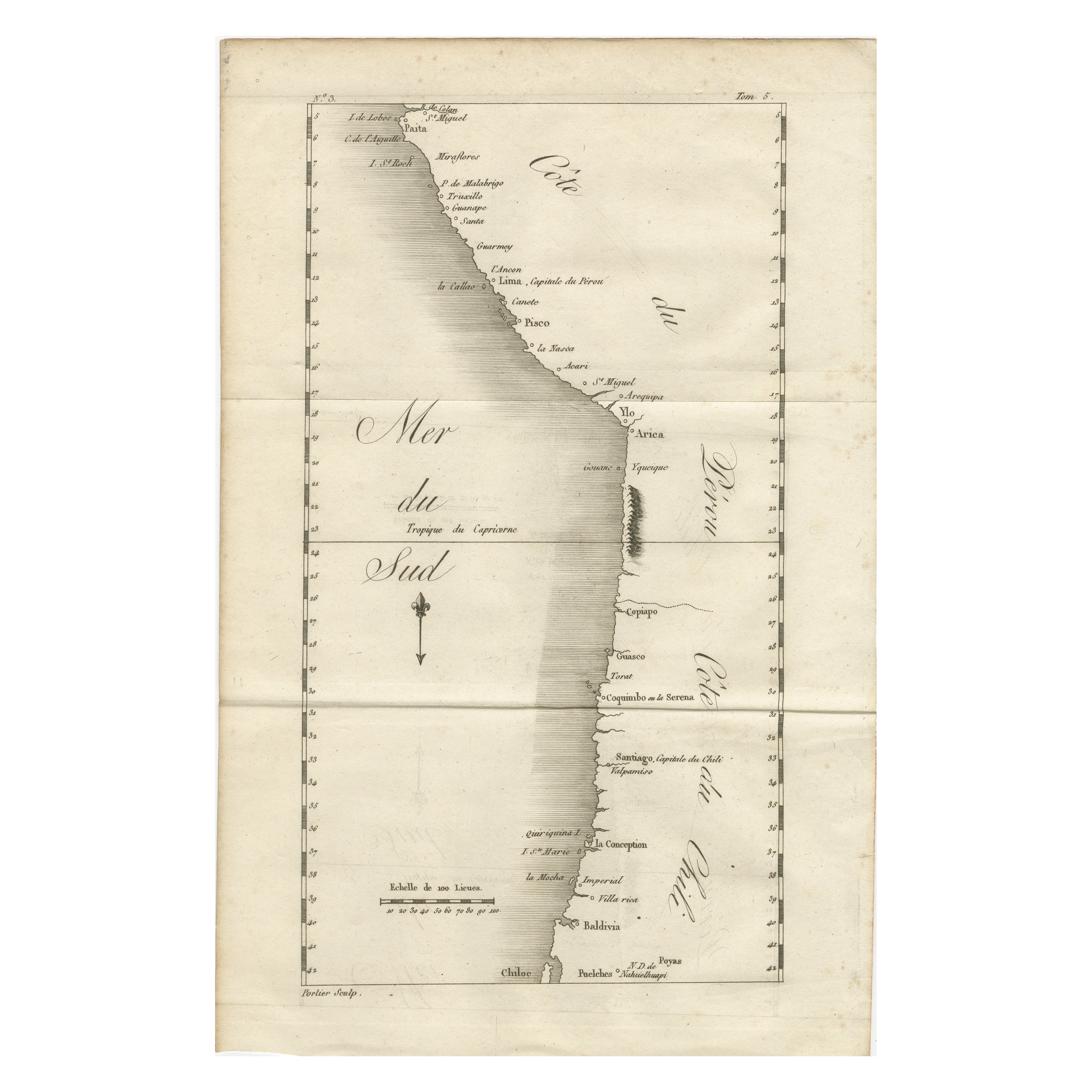
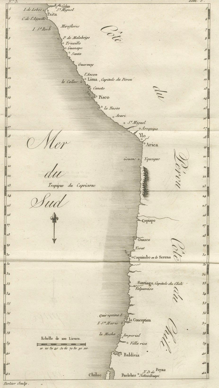
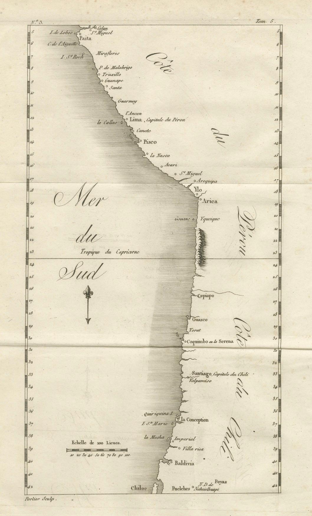
Map of the Coast of Peru and Chile – “Côte du Pérou et Côte du Chili”, c.1760
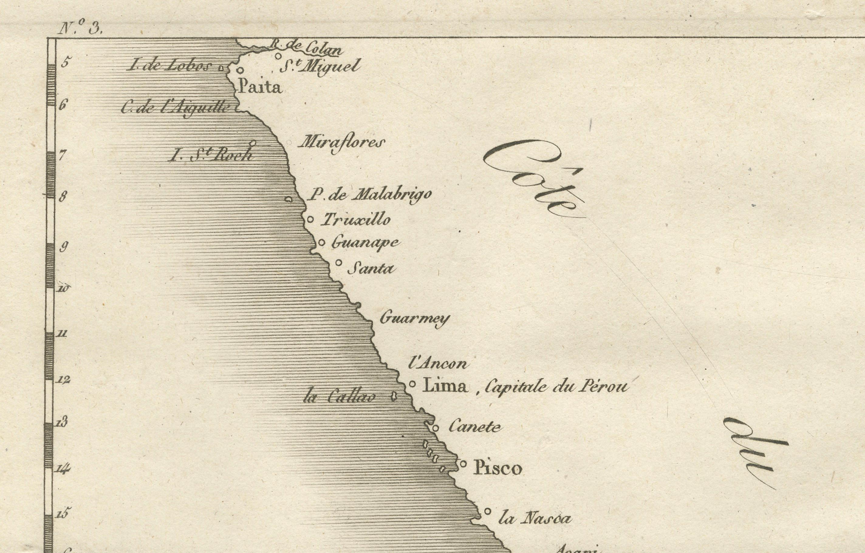
This 18th-century copperplate engraving presents a detailed chart of the Pacific coastline from northern Peru to southern Chile. Titled Côte du Pérou et Côte du Chili and marked “Tome 6” in the upper right, the map covers a vast stretch of the South American west coast, extending from Paita in northern Peru down to the island of Chiloé in southern Chile.
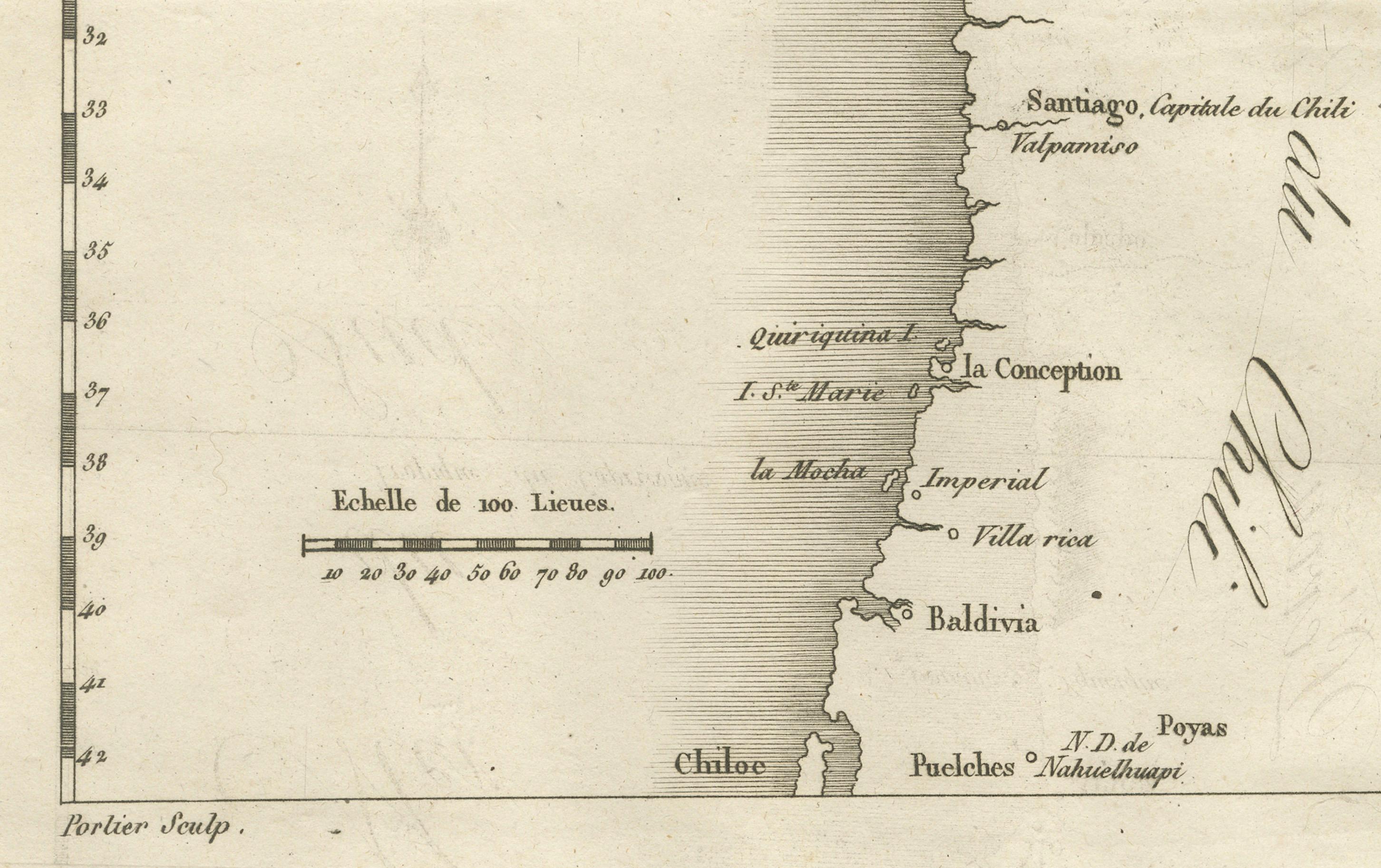
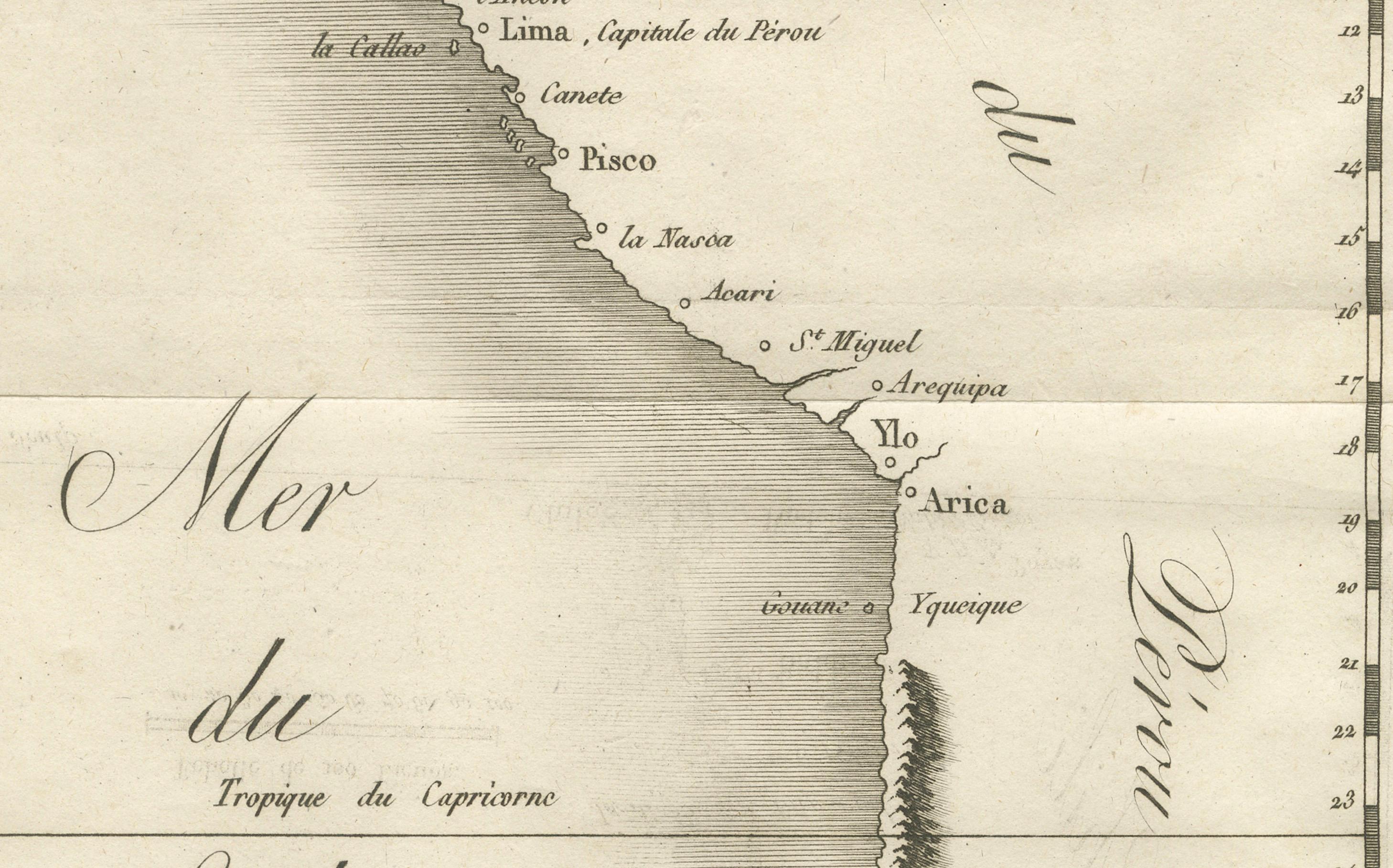
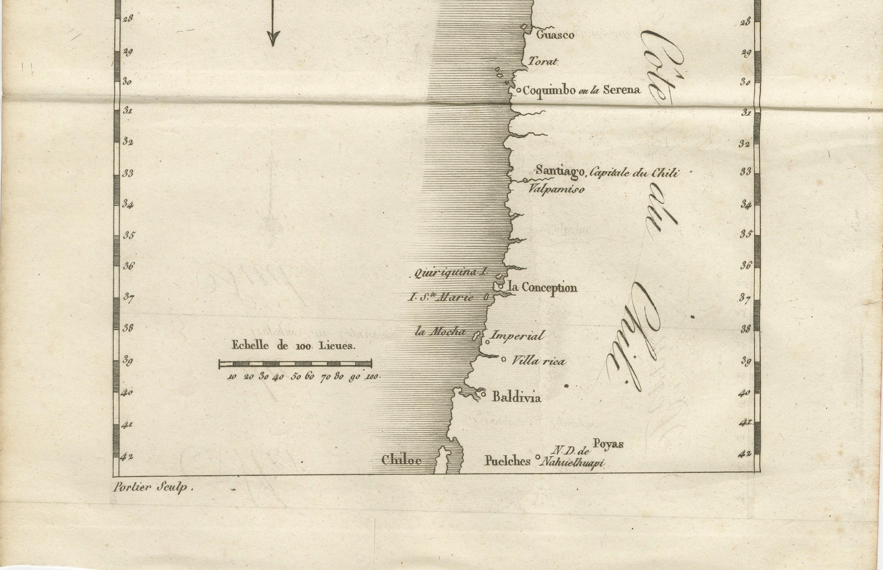
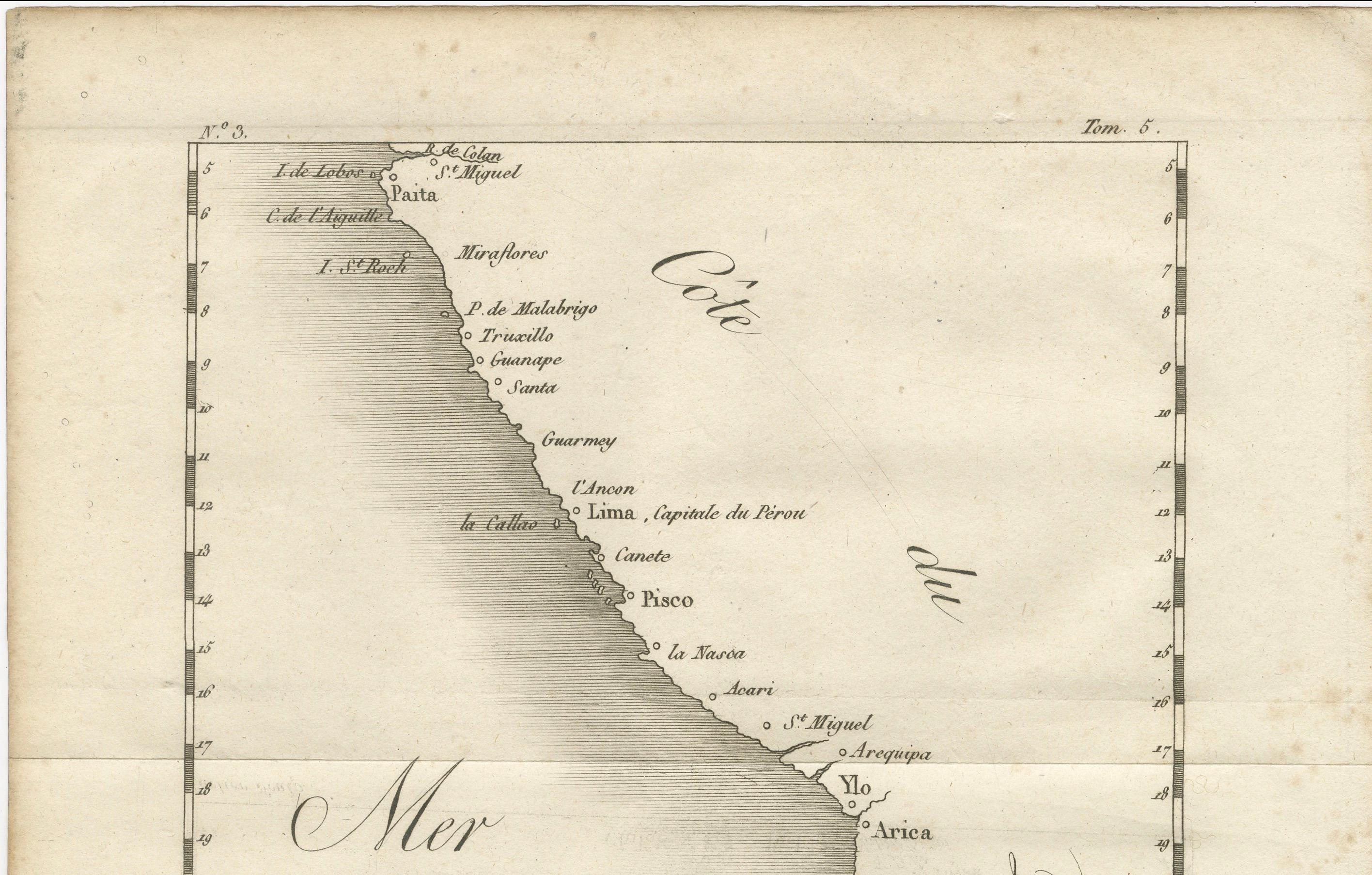
Major coastal towns and ports are labeled, including Lima (Capitale du Pérou), La Callao, Pisco, Arequipa, Arica, Iquique, Copiapó, Coquimbo (de la Serena), Santiago (Capitale du Chili), Valparaiso, Concepción, Imperial, Valdivia, and Chiloé. Offshore islands such as the Lobos Islands, La Mocha, and Quiriquina are noted. Geographic markers include the Tropique du Capricorne and a fleur-de-lis north arrow, with an Échelle de 100 Lieues scale at the bottom.
The coastline is rendered with a fine engraved line, showing bays, headlands, and the relative positioning of ports along the Pacific. While inland detail is minimal, the Andes are indicated in the area of Iquique, hinting at the dramatic geography just beyond the coastal strip.
Engraved by Porlier (Porlier Sculp), this map reflects the European interest in maritime routes and colonial territories of the Pacific during the mid-18th century, a period when Spain’s South American possessions were central to global trade via the Manila galleons and other transoceanic connections. Such maps would have been invaluable to merchants, naval officers, and scholars studying geography and trade.
Condition: Very good for age, with a central fold as issued. Light toning and faint foxing in margins. Strong plate impression with crisp coastal detail.
Framing tips: A black or deep mahogany frame with an ivory mount would emphasize the clean lines of the map. For thematic display, it pairs well with other 18th-century maritime charts of the Pacific coast or Spanish colonial territories.
Technique: Copperplate engraving
Maker: A. Porlier, French school, c.1760