About this sheet
Antique Map of New Hampshire – Rand McNally, circa 1888
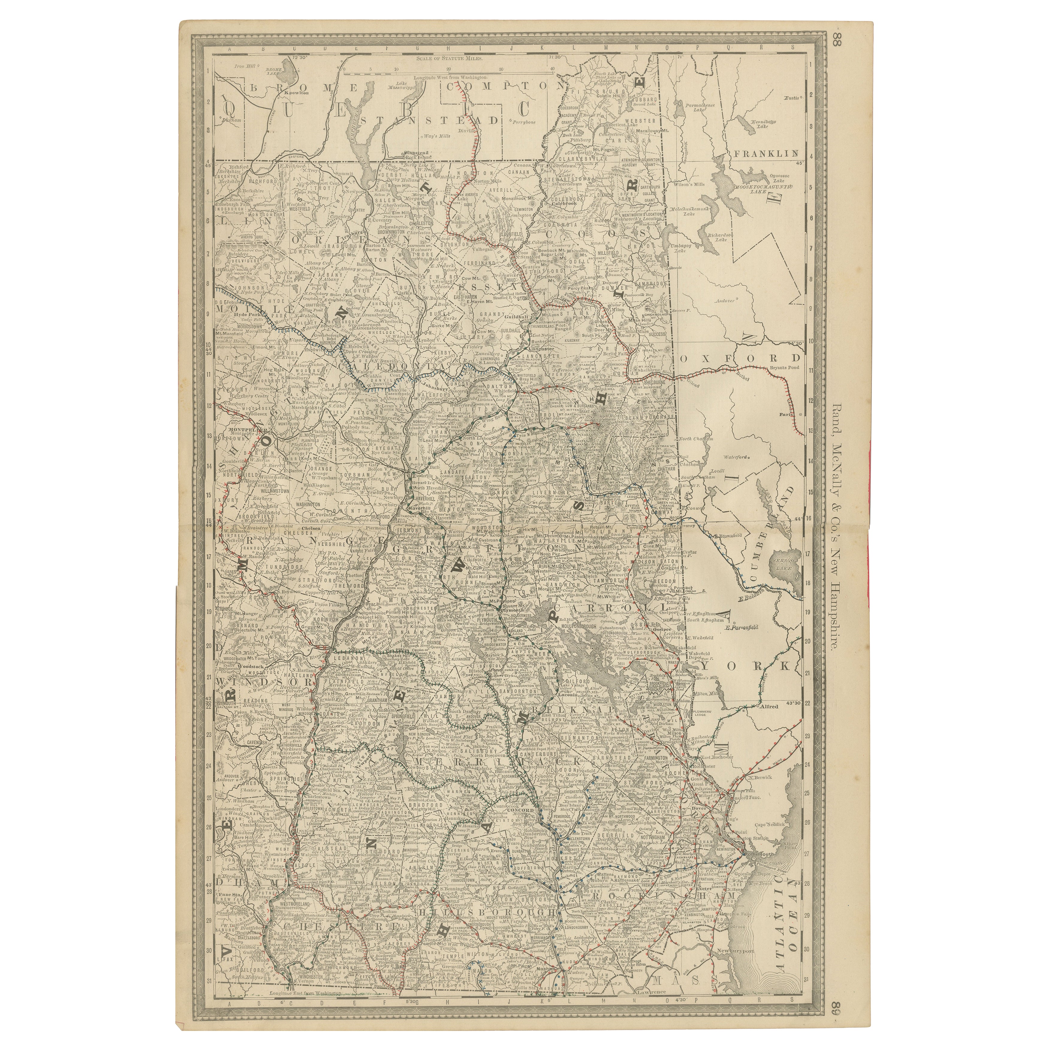
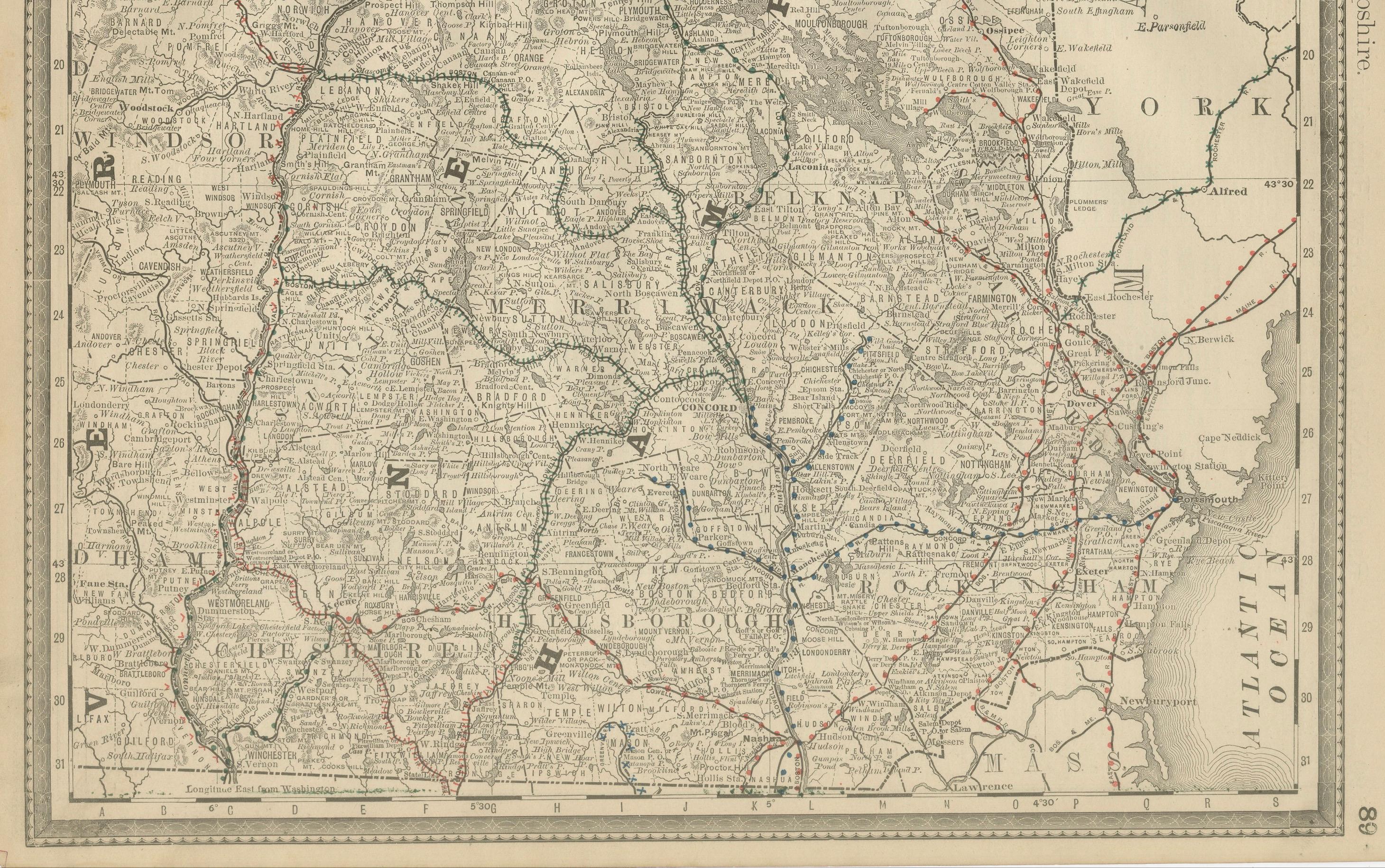
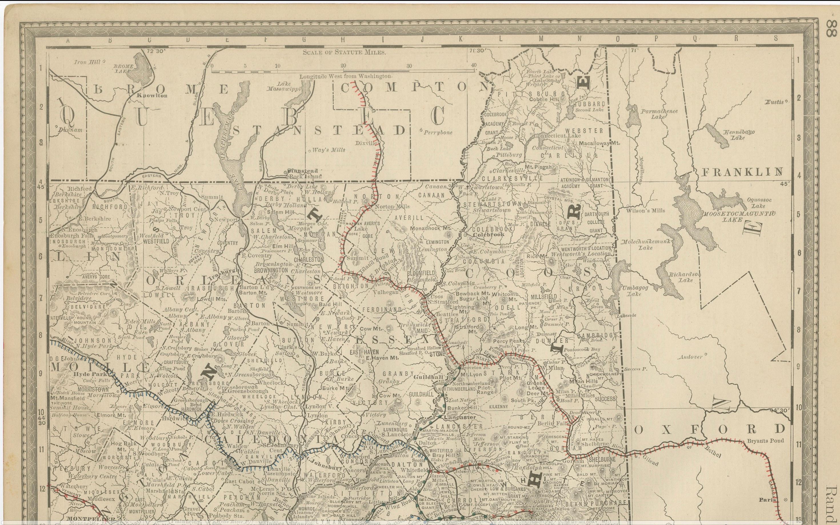
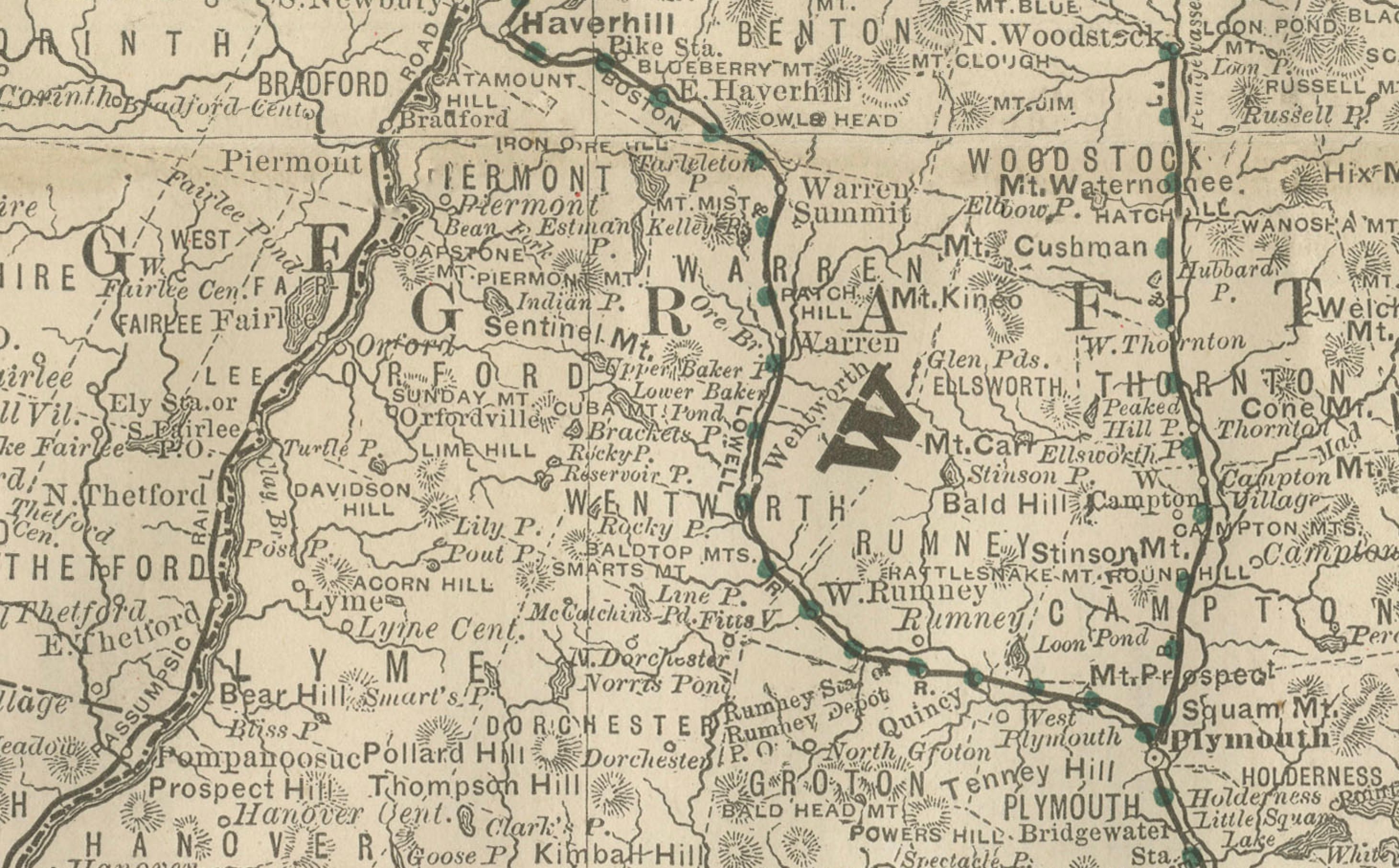
This antique map of New Hampshire was published by Rand, McNally & Co. around 1888. It provides a detailed late 19th-century depiction of the Granite State, highlighting its counties, towns, mountains, and transportation network.
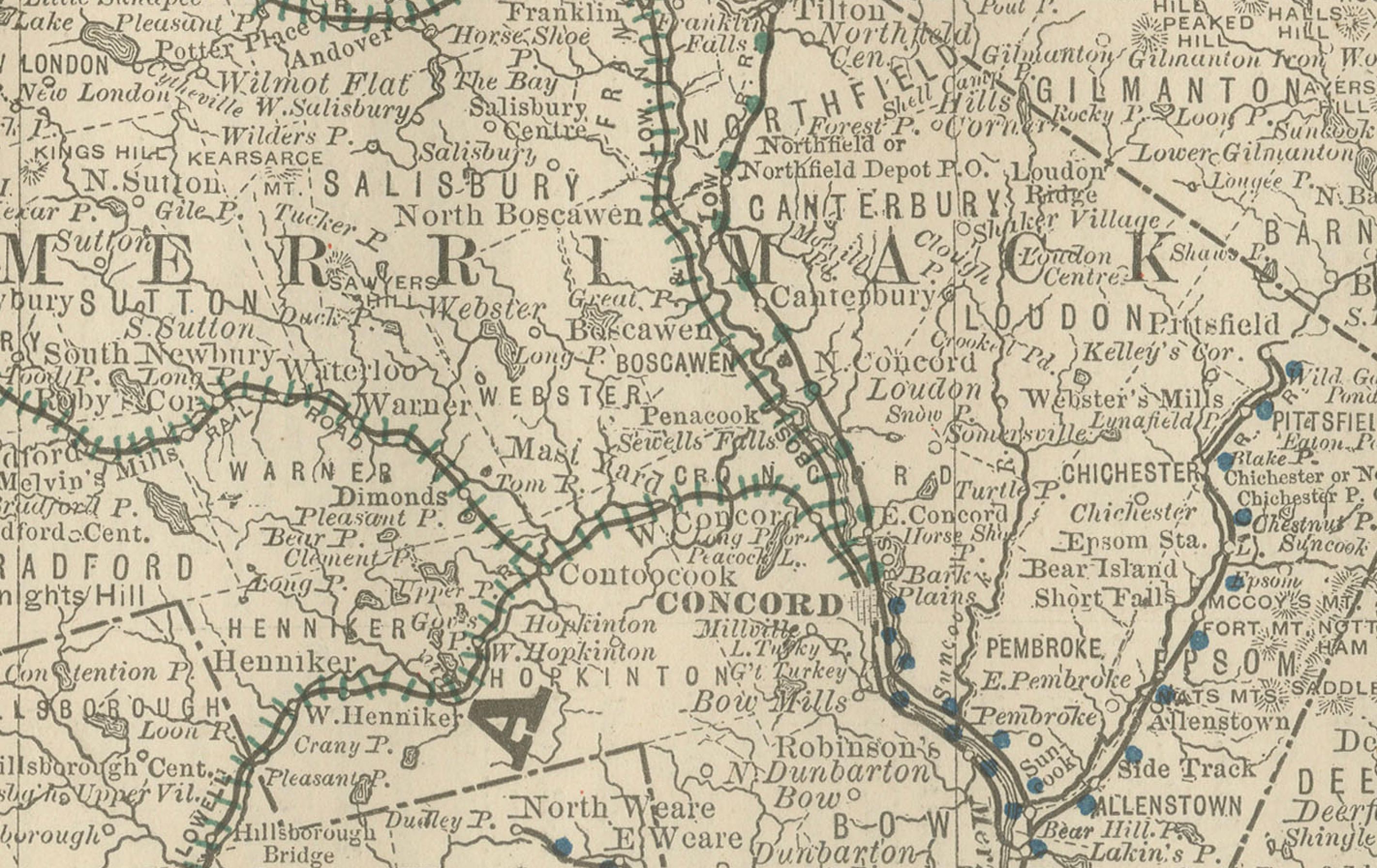
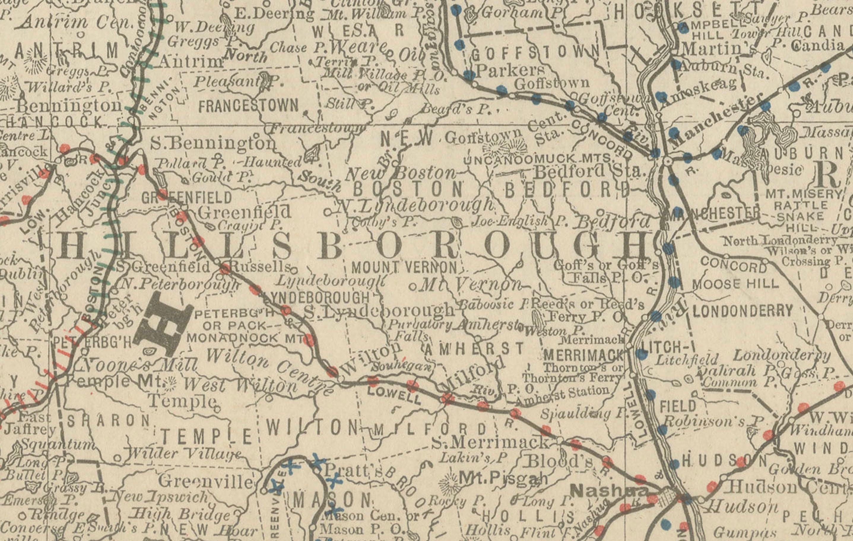
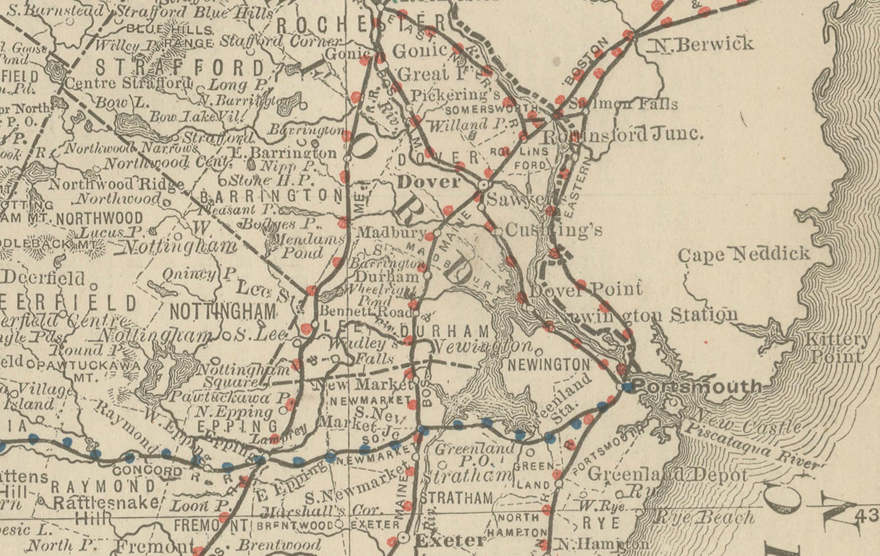
The map covers the entire state, bordered by Maine, Massachusetts, and Vermont, with a small section of southern Maine and western Massachusetts also included. Counties are clearly delineated, with towns and villages finely engraved. Major cities such as Concord, Manchester, Nashua, and Portsmouth are shown alongside the numerous smaller settlements that characterized rural New England in the Gilded Age.
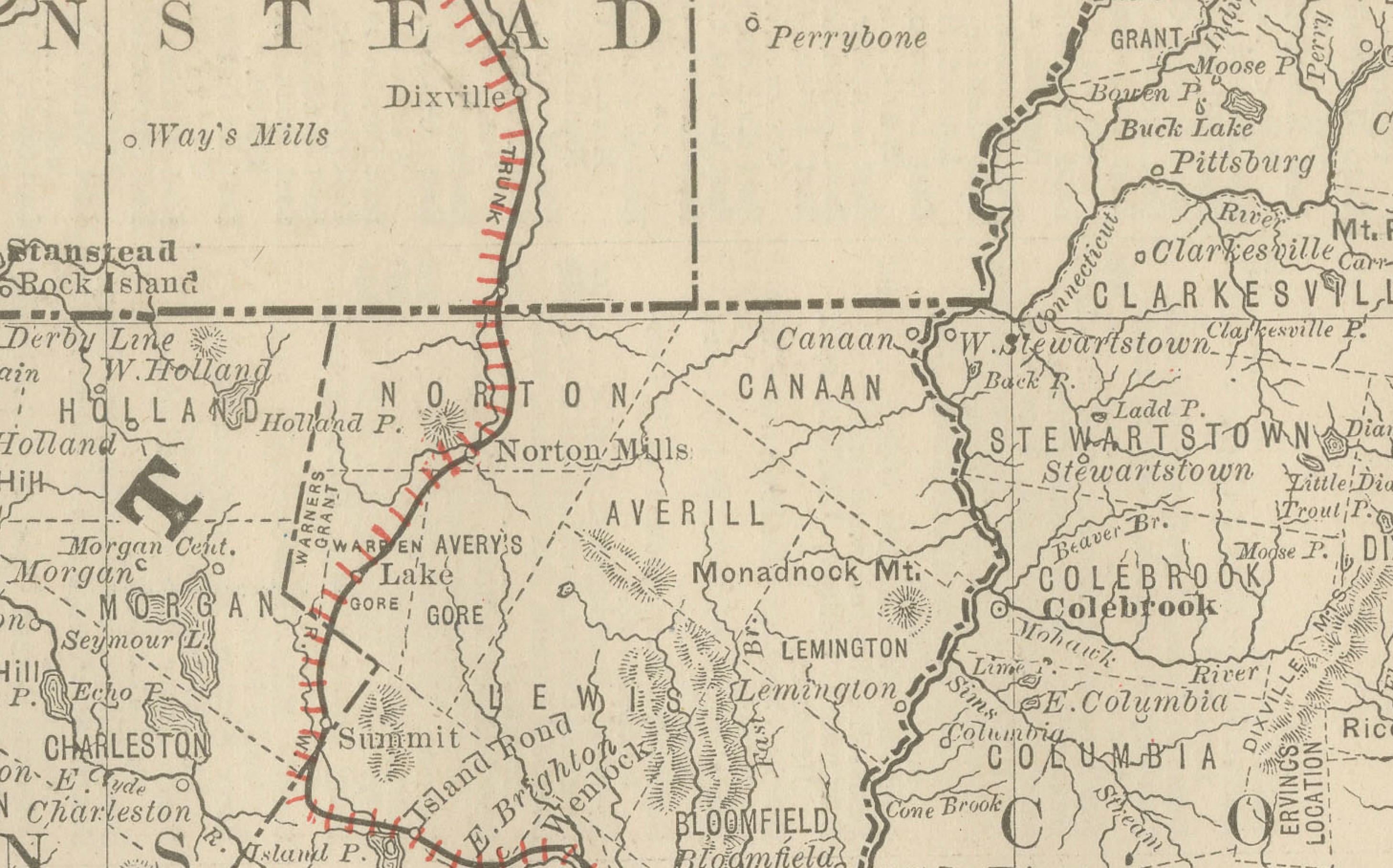
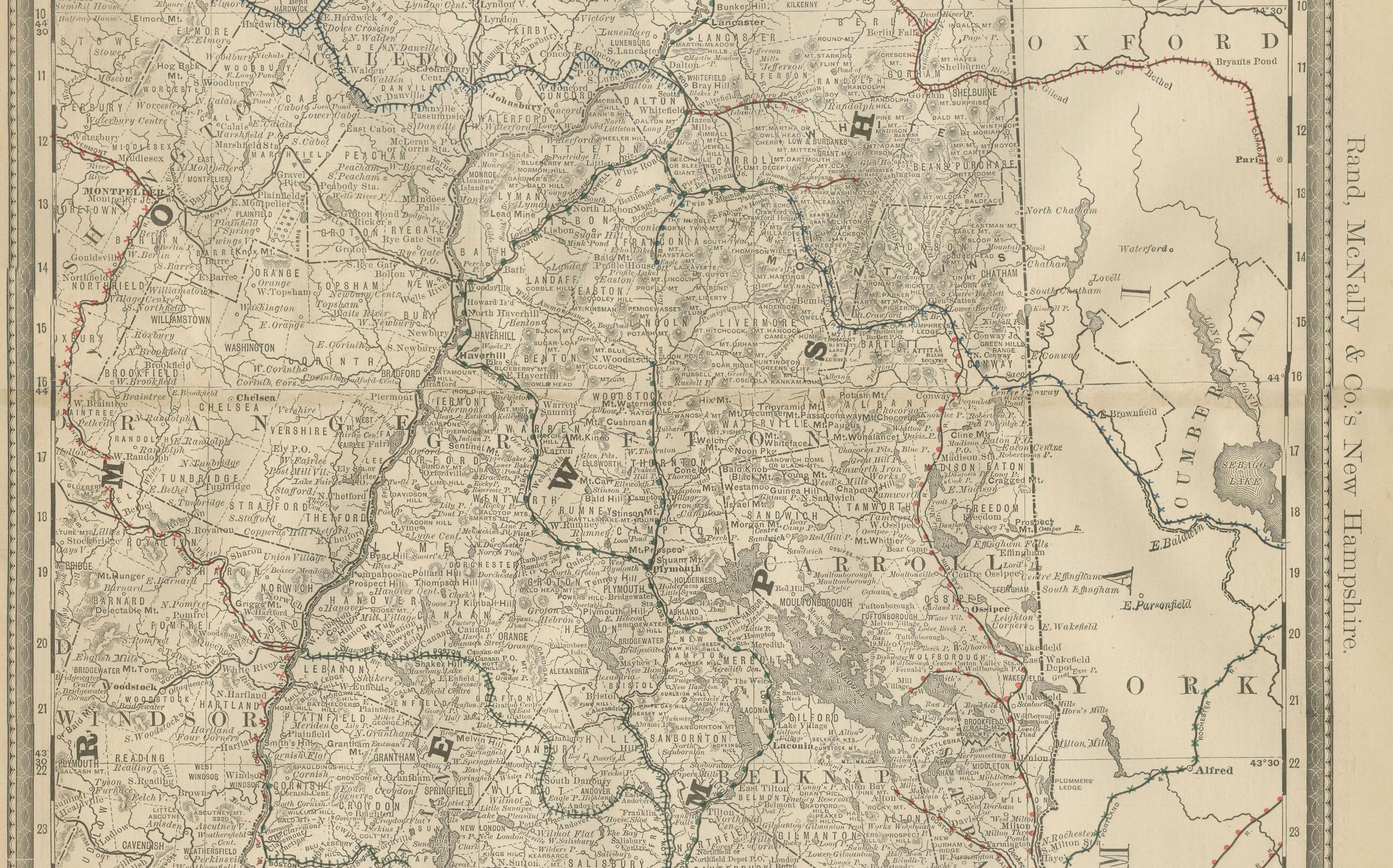
Railroads, drawn in red and blue, dominate the map, charting the routes that connected New Hampshire to Boston, Portland, and other centers of commerce in New England. The northern portion of the state, less developed at the time, is also well mapped, showing the White Mountains region with towns, rivers, and valleys scattered across its rugged terrain.
This map is particularly significant for its careful representation of the state’s mountainous interior, making it a valuable historical document for collectors of New England cartography, railroad history, and the White Mountains region.
Condition report:
Very good condition with mild toning and faint darkening along the original center fold. Plate mark visible. Clean margins with minimal handling wear. Strong impression with crisp engraved detail.
Framing tips:
A black or walnut frame with a cream mat would suit this map well. For emphasis on the mountainous areas, a double mat with ivory outer and muted green inner would highlight the White Mountains region.
Technique: Lithograph with original outline color
Maker: Rand, McNally & Co., Chicago, circa 1888