About this sheet
Arkansas Map 1888 – Rand McNally Antique Lithograph
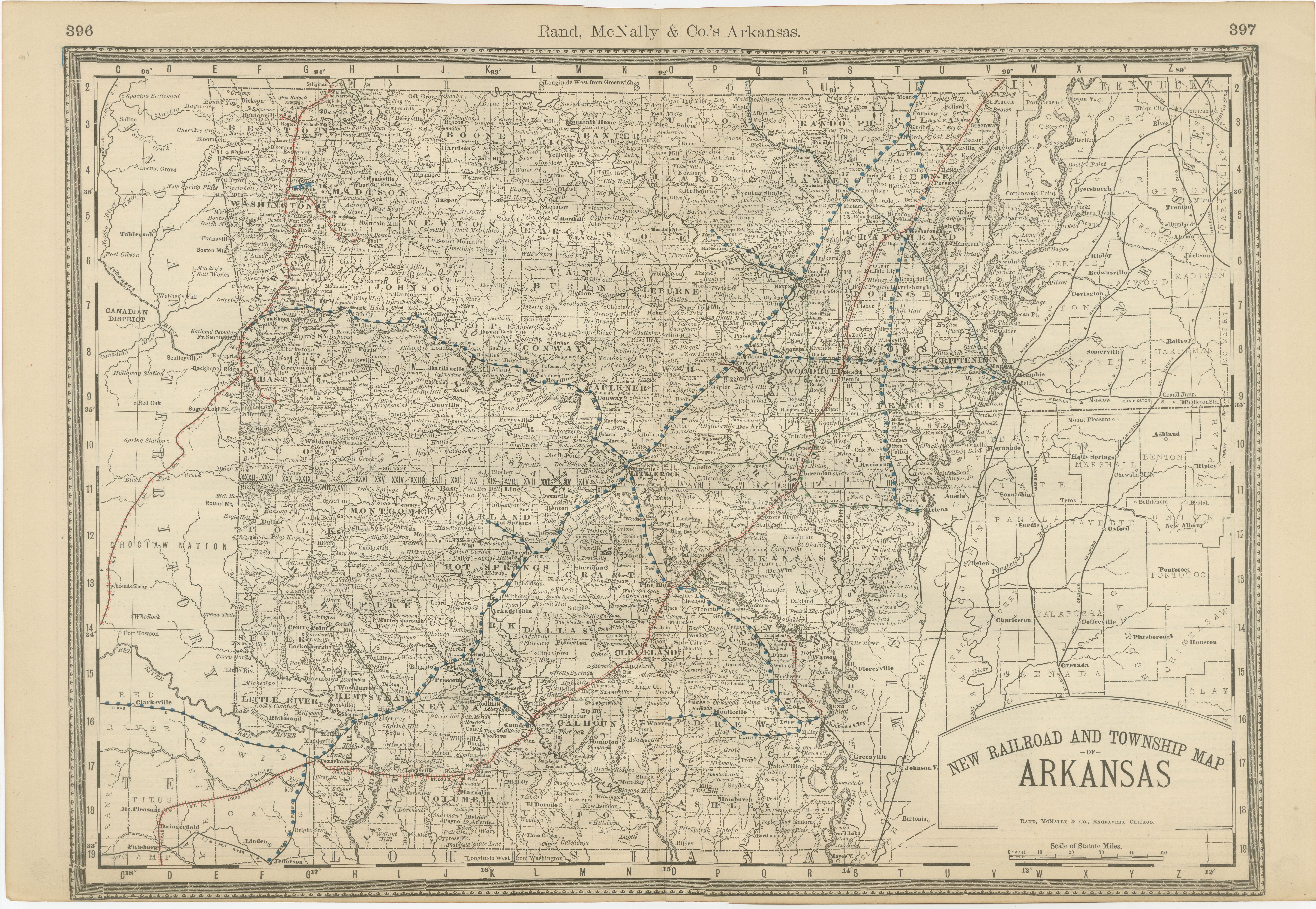
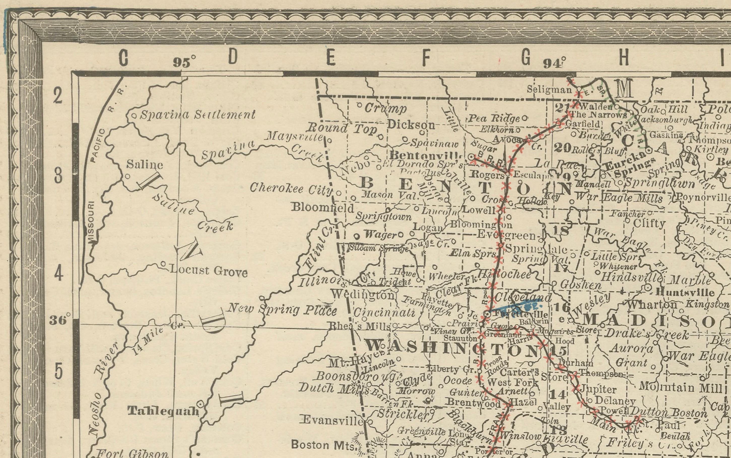
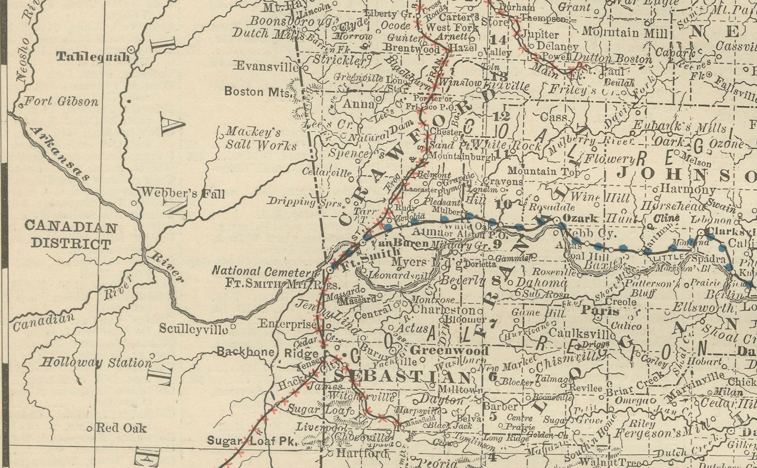
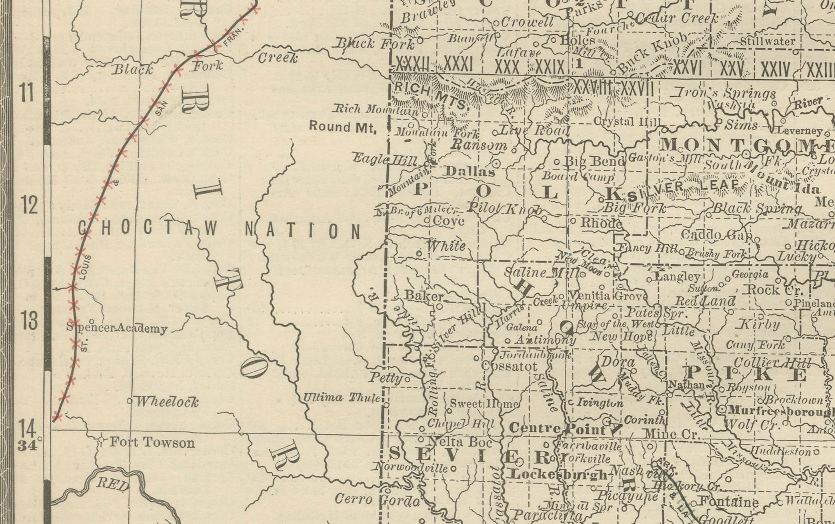
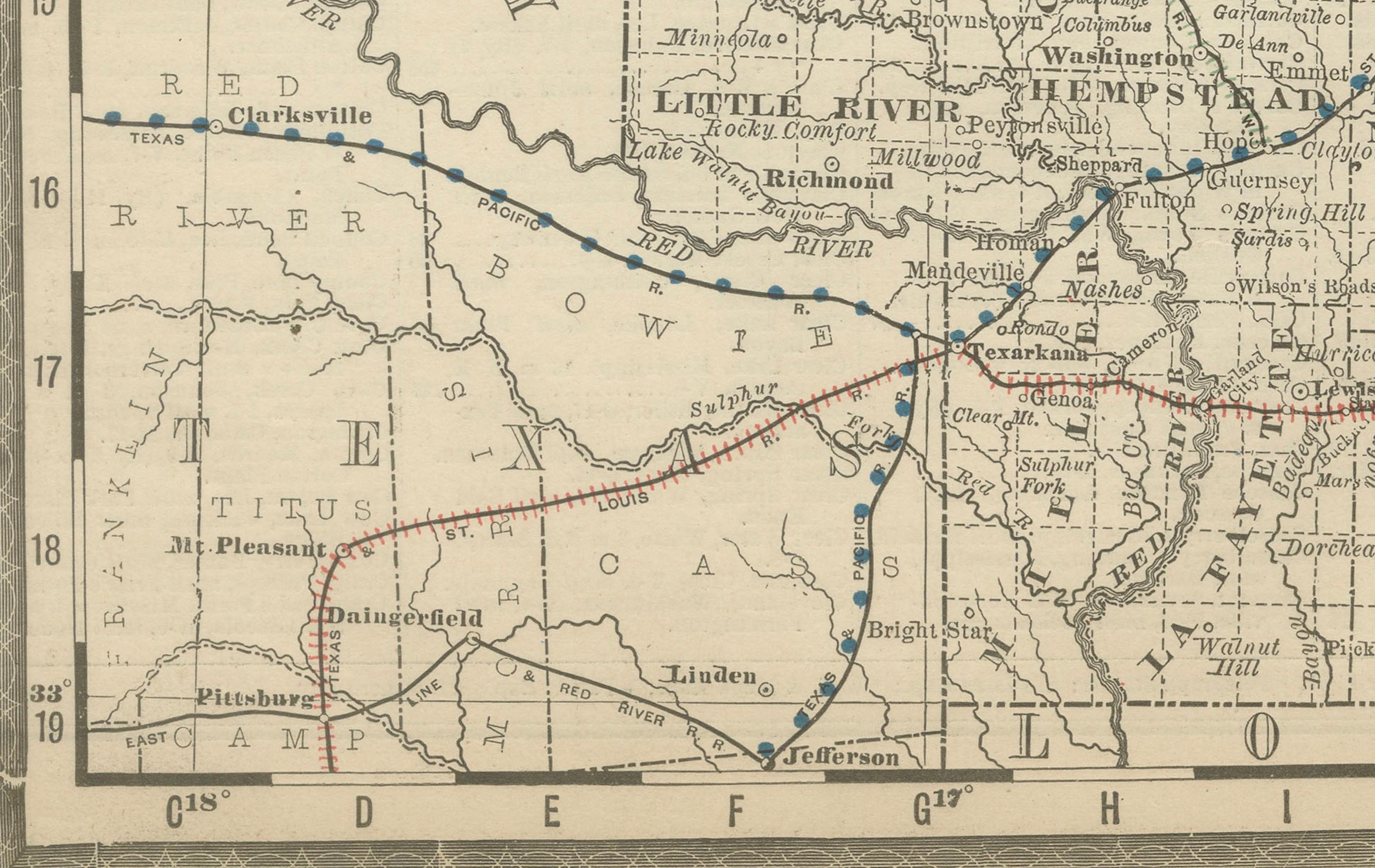
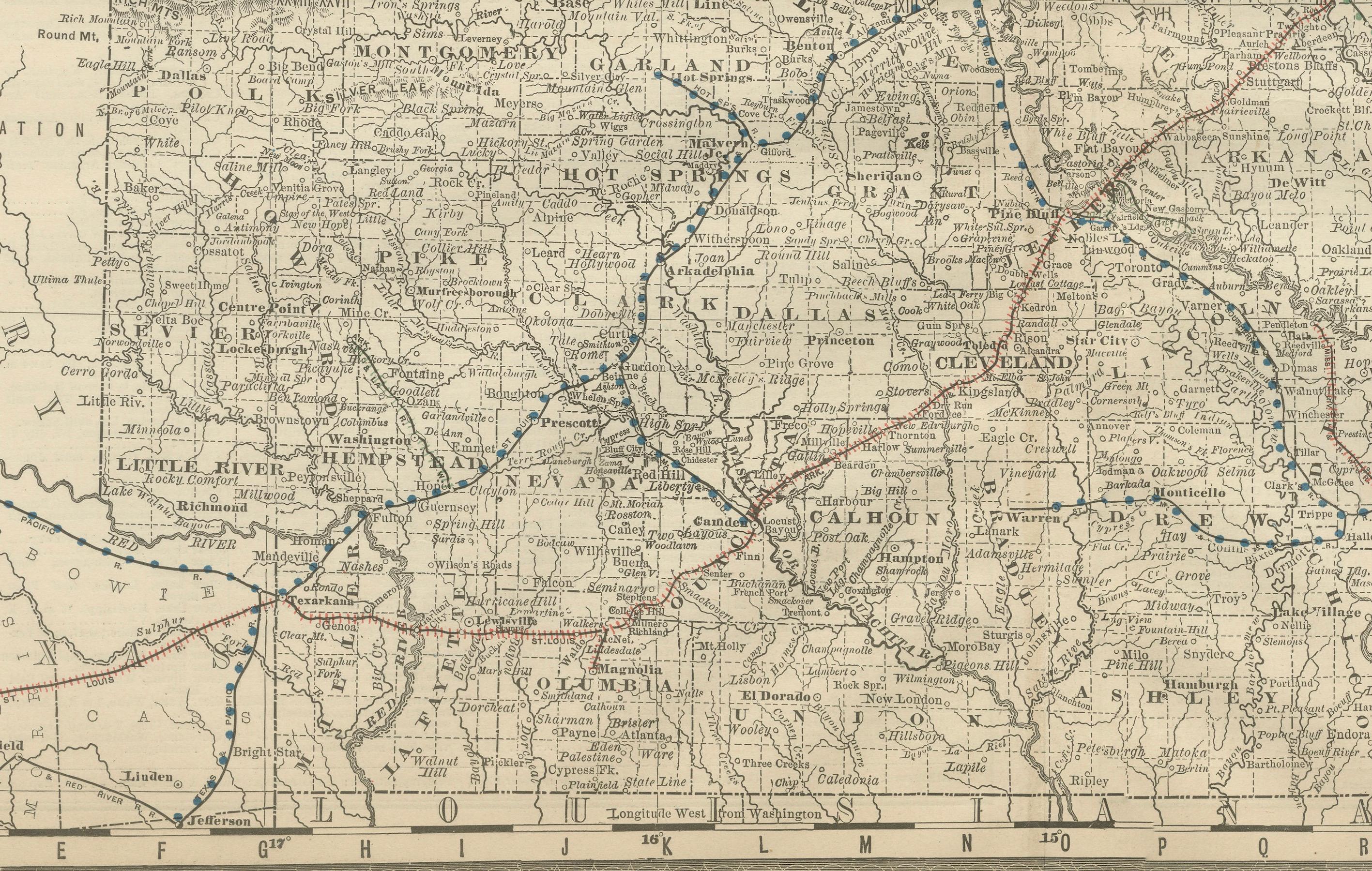
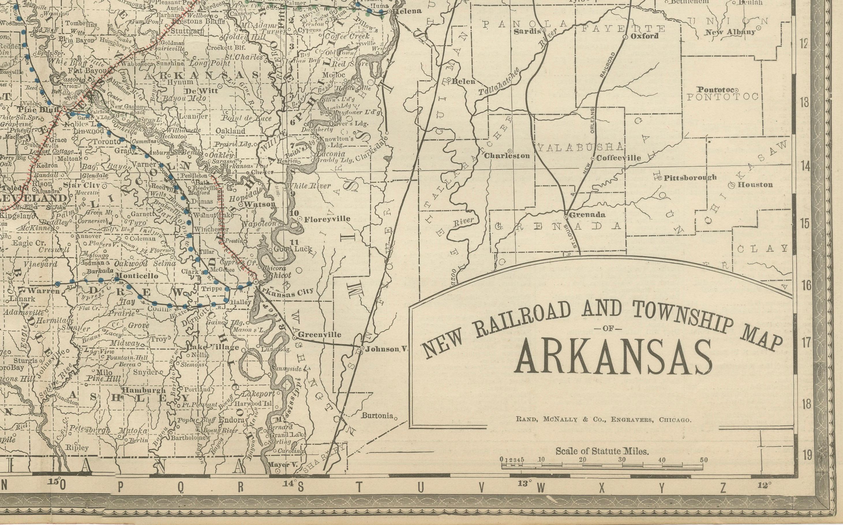
This antique 1888 map of Arkansas, published by Rand, McNally & Co., provides a detailed portrayal of the state during the late 19th century, when railroads and agriculture defined its economy. Labeled as a “New Railroad and Township Map of Arkansas”, this edition highlights both the administrative divisions and the rapidly expanding railroad system that was transforming the state.
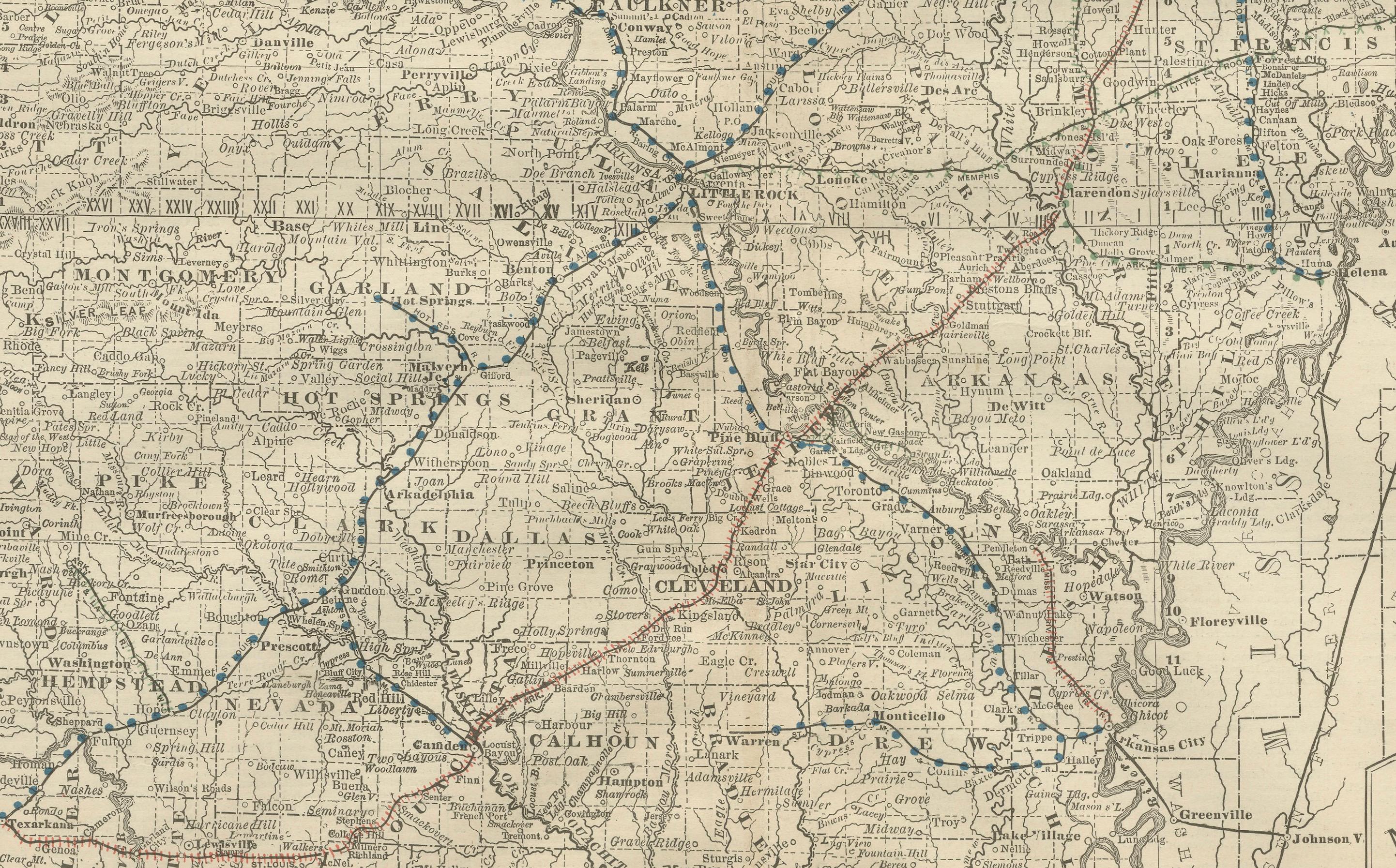
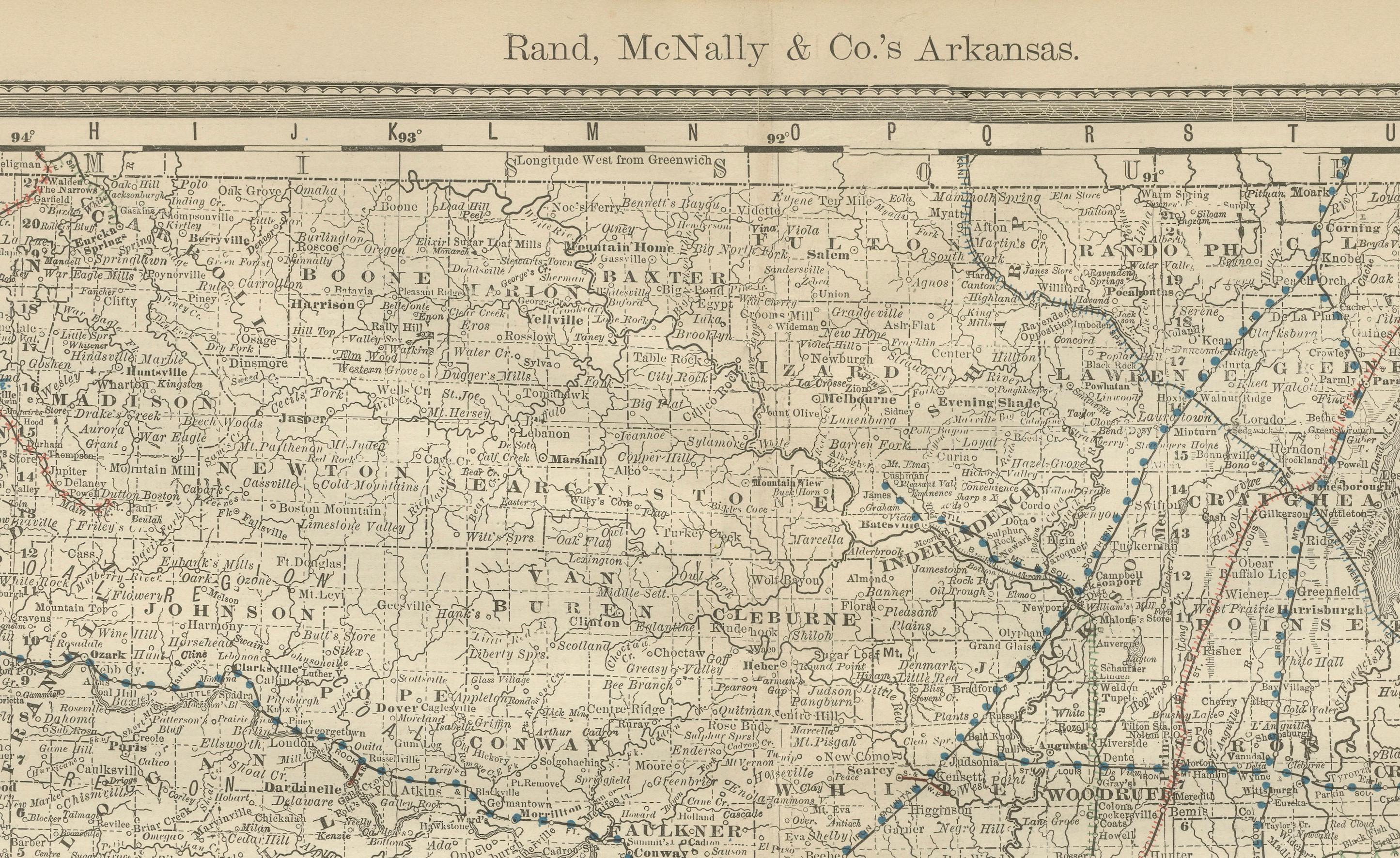
Every county is carefully engraved, with county seats and smaller towns clearly marked. Cities such as Little Rock, Fort Smith, Pine Bluff, and Helena stand out, alongside dozens of smaller settlements. The map provides an excellent record of Arkansas’s settlement patterns in the post-Reconstruction era, making it a valuable resource for genealogists and historians alike.
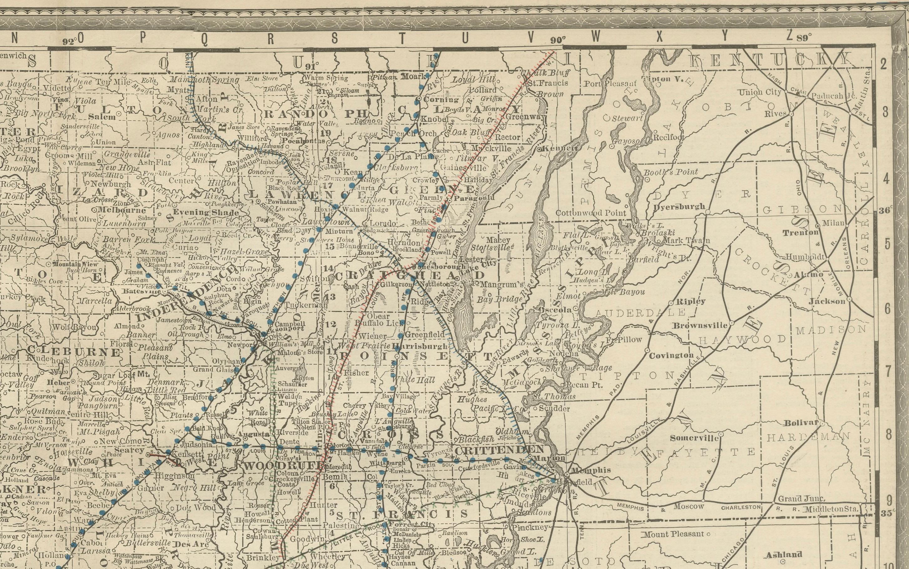
Railroads, shown in red and blue lines, are a central feature of the map. The Iron Mountain & Southern, St. Louis, Arkansas & Texas, and Little Rock & Fort Smith Railroads, among others, are all depicted. These rail lines illustrate how Arkansas was being integrated into the national transportation network, carrying timber, cotton, and other goods out of the state while stimulating the growth of new towns.
Natural features are also clearly represented, with the Arkansas River running across the state and the Mississippi River forming its eastern border. Other rivers and creeks are finely detailed, underscoring their continued importance for local transportation and commerce. To the west, the map borders Indian Territory, marking the line between Arkansas and what would become Oklahoma, while to the east the fertile Mississippi Delta counties appear, emphasizing the state’s agricultural wealth.
As with all Rand, McNally productions, the cartography is crisp and practical, designed for reference but now equally valuable as a historical artifact. This map captures Arkansas in a period of transition, balancing its traditional agricultural economy with the arrival of railroads and new industry.
Condition: Very good, with mild toning and light foxing along the margins. Center fold as issued. Paper remains strong and clean, with plate mark visible. No major tears or losses.
Framing tips: A walnut or black frame with a cream mat will emphasize the engraved details. A secondary red or blue mat could be added to draw attention to the railroad lines.
Technique: Lithograph with printed detail
Maker: Rand, McNally & Co., Chicago, 1888
---
Special note: Maps of Arkansas from the 19th century are highly collectible, as they record both the state’s agricultural foundation and its integration into the expanding U.S. railroad system. This 1888 Rand McNally edition, explicitly labeled a railroad and township map, underscores its practical and historical value.