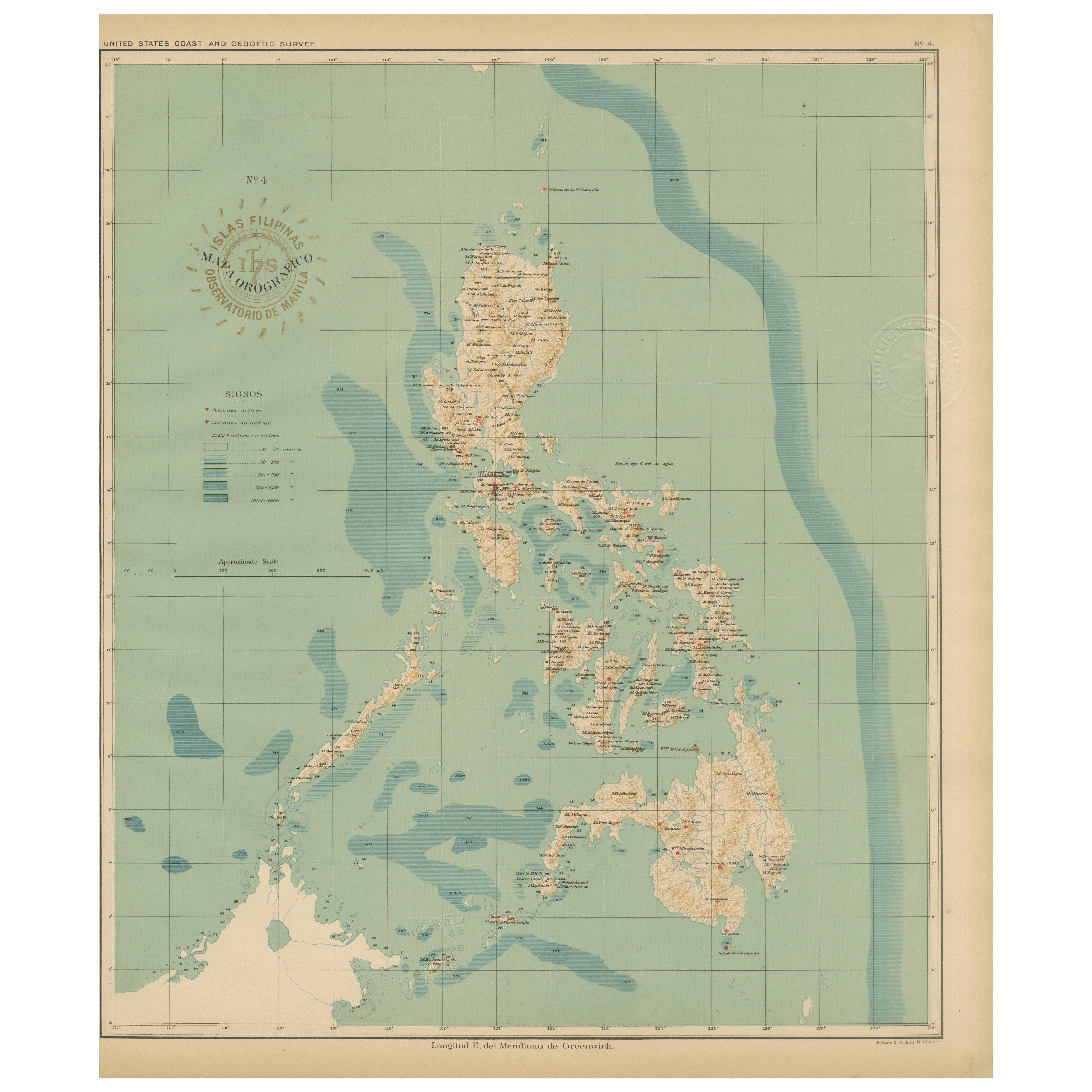
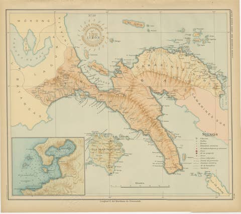
Orographic Map of the Philippine Islands – Observatorio de Manila, 1899
€ 460
One of a kind: this is the sheet in the photographs. Ships from Langweer, the Netherlands.
Date
1899
Sheet size
37 × 32.5 cm (14.6 × 12.8 in)
Condition
Excellent
Reference
BG-12176-4
Condition
with original color, very light toning, and wide margins. Both embossed and inked official seals clearly visible.
About this sheet
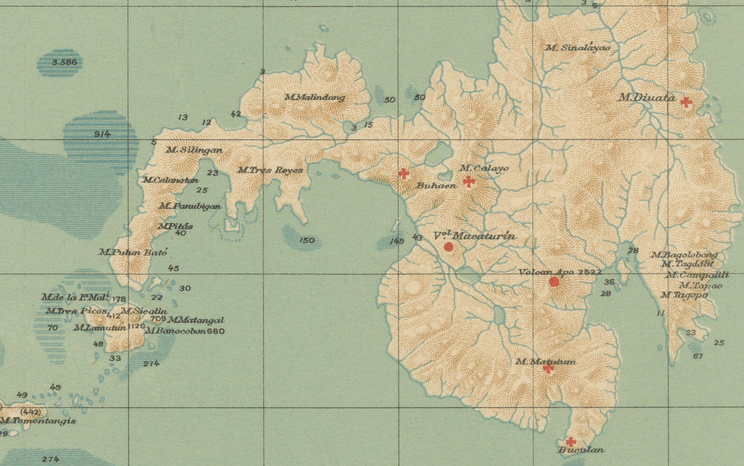
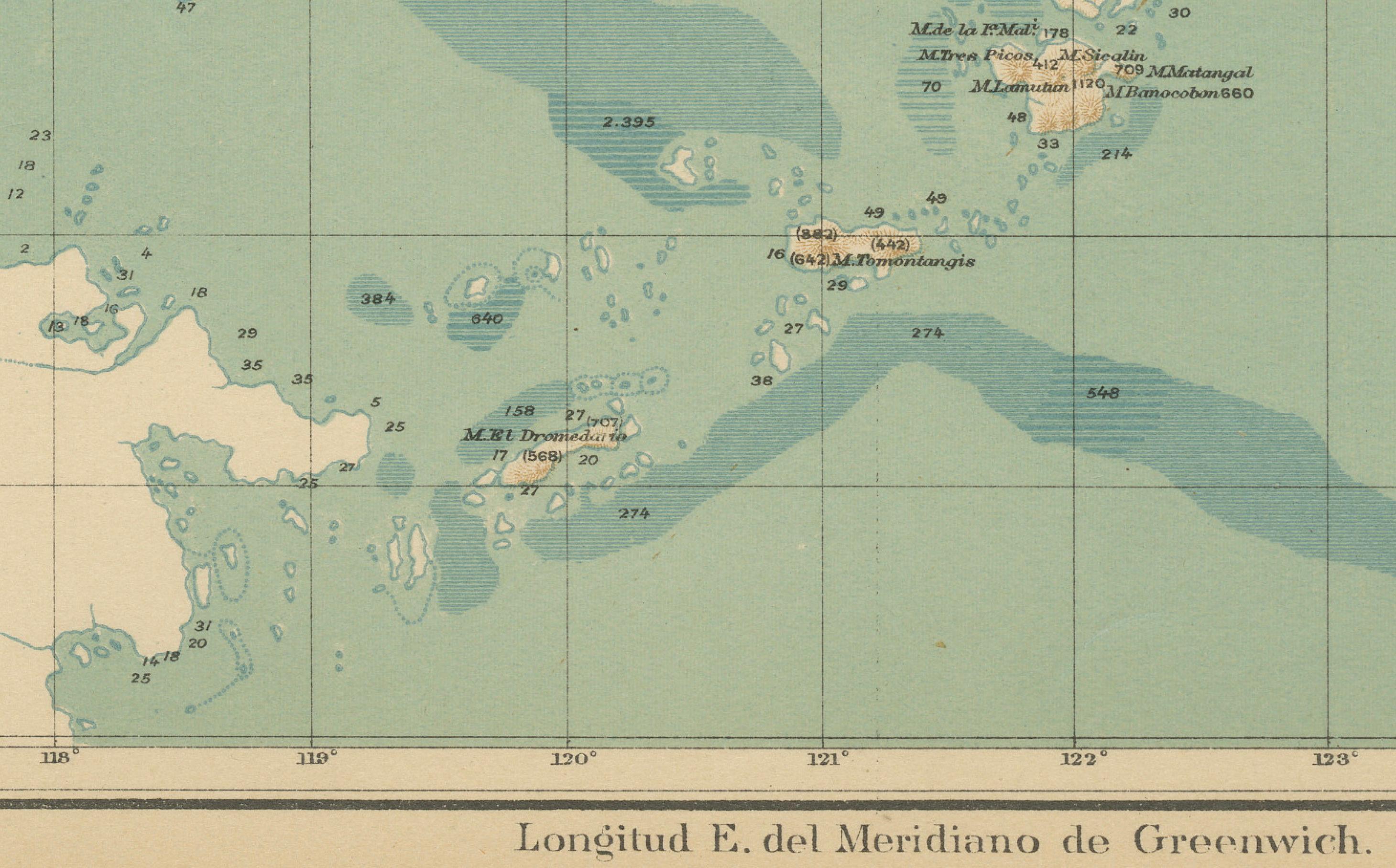
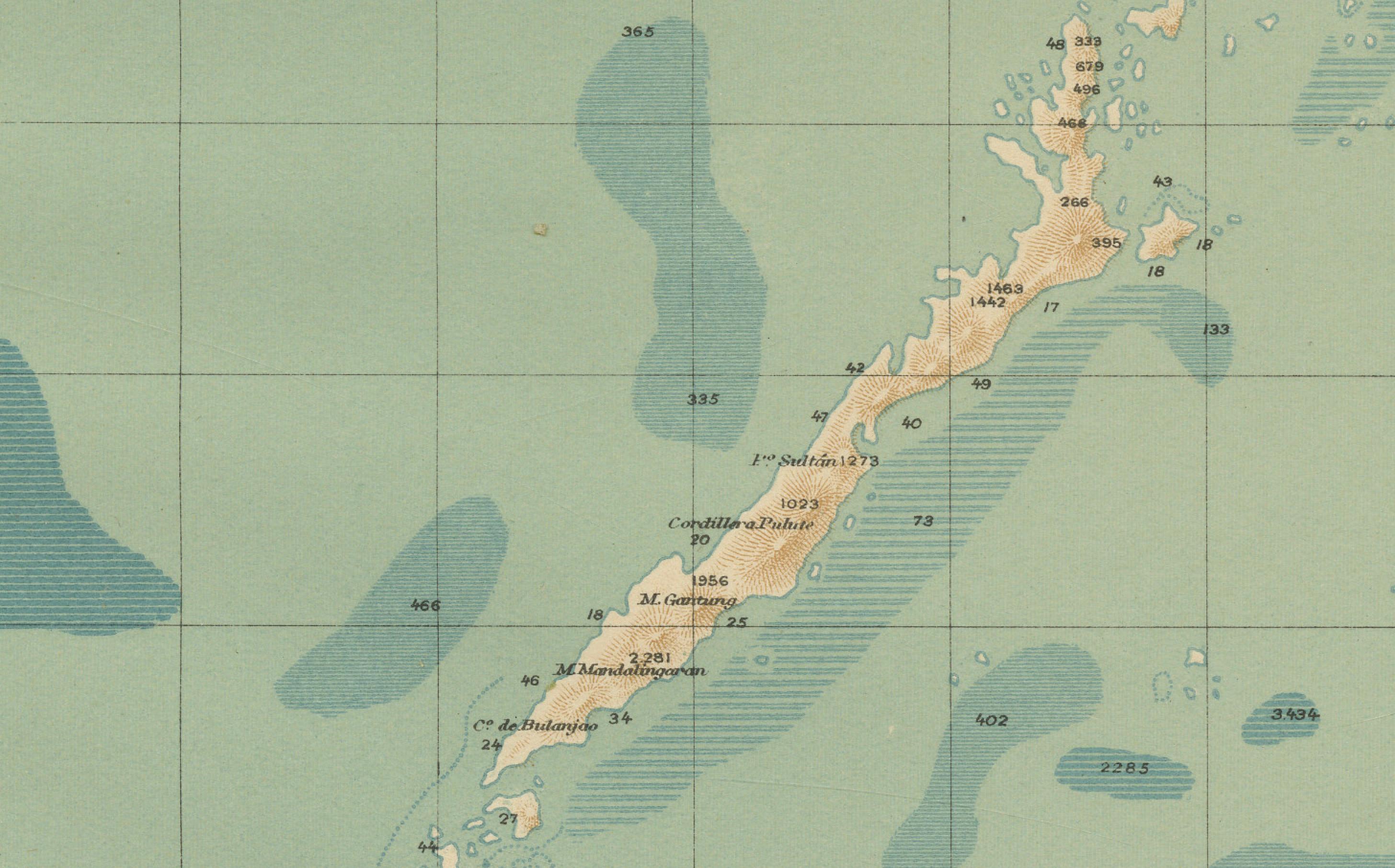
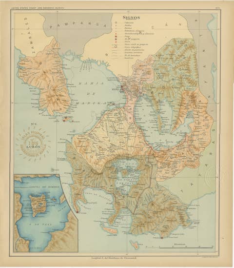
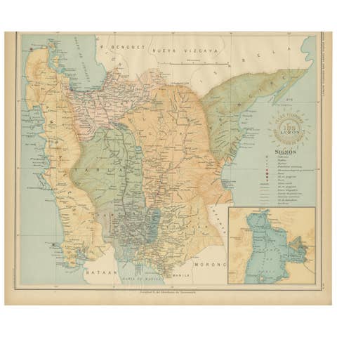
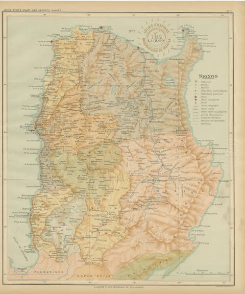
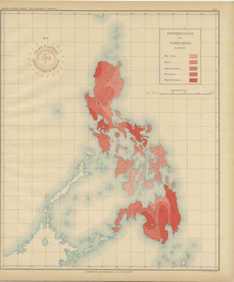
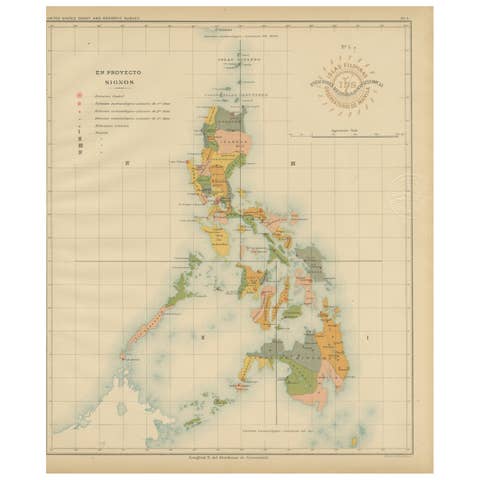
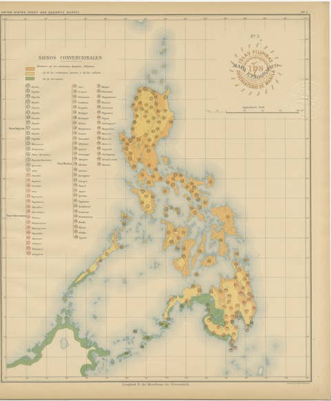
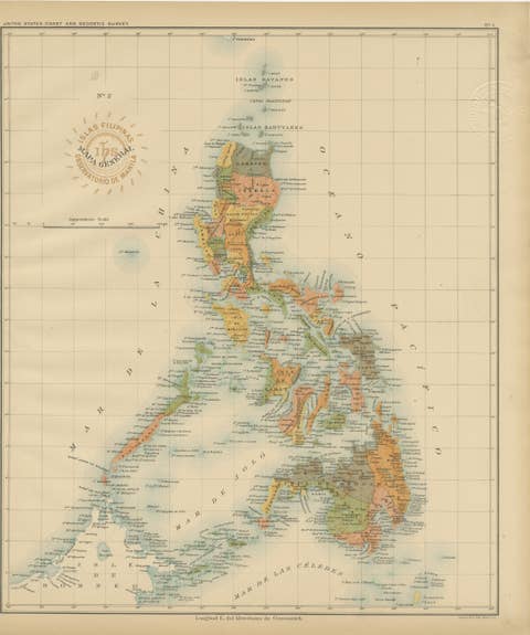
This finely executed chromolithographed map, titled “Islas Filipinas – Mapa Orográfico,” was created in 1899 under the direction of Rev. José Algué, S.J., Director of the Observatorio de Manila. Issued as Plate No. 4 from the Atlas de Filipinas, this map was part of a landmark project produced by Filipino draftsmen under Jesuit supervision and later published by the U.S. Coast and Geodetic Survey in Washington (1900).
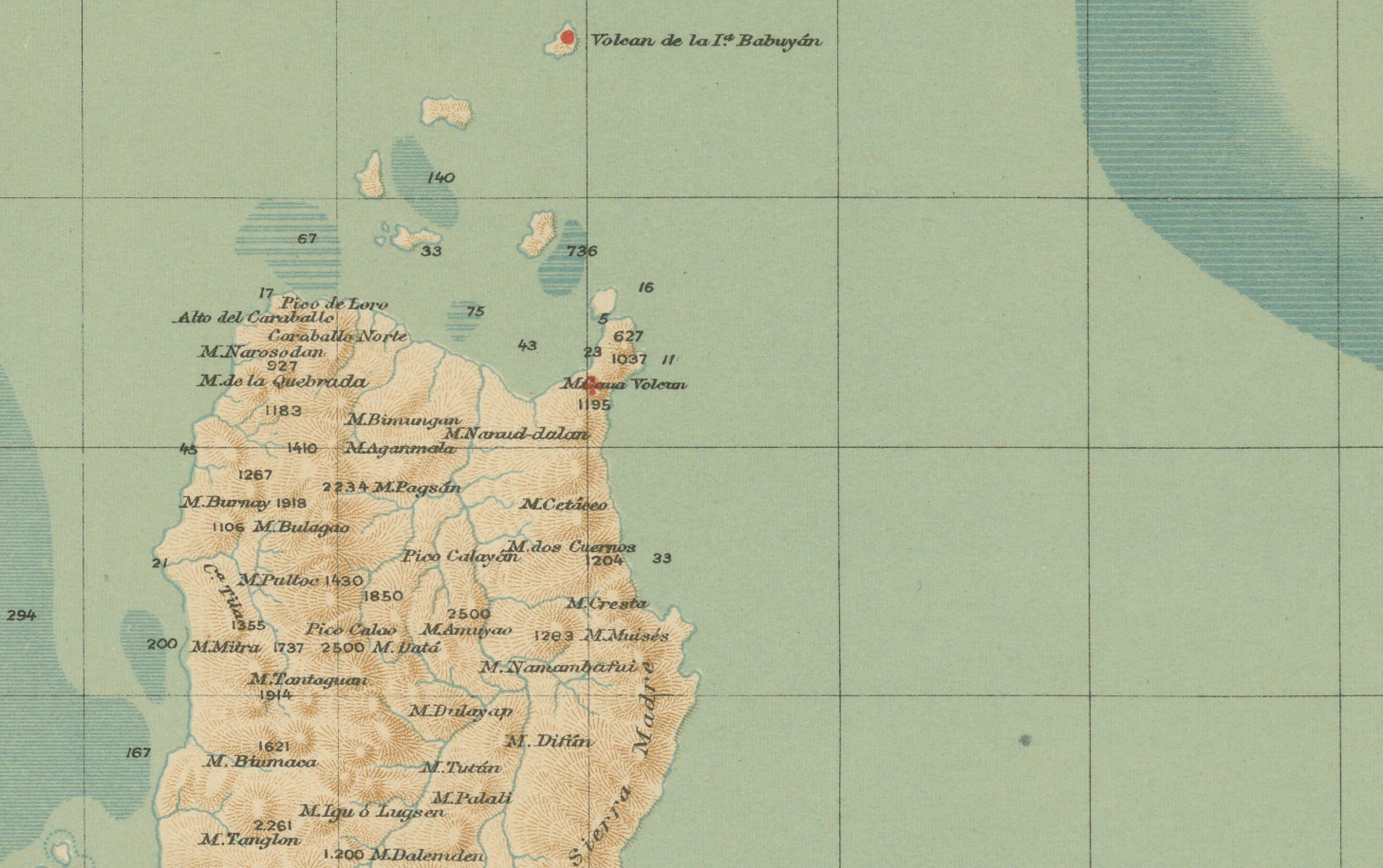
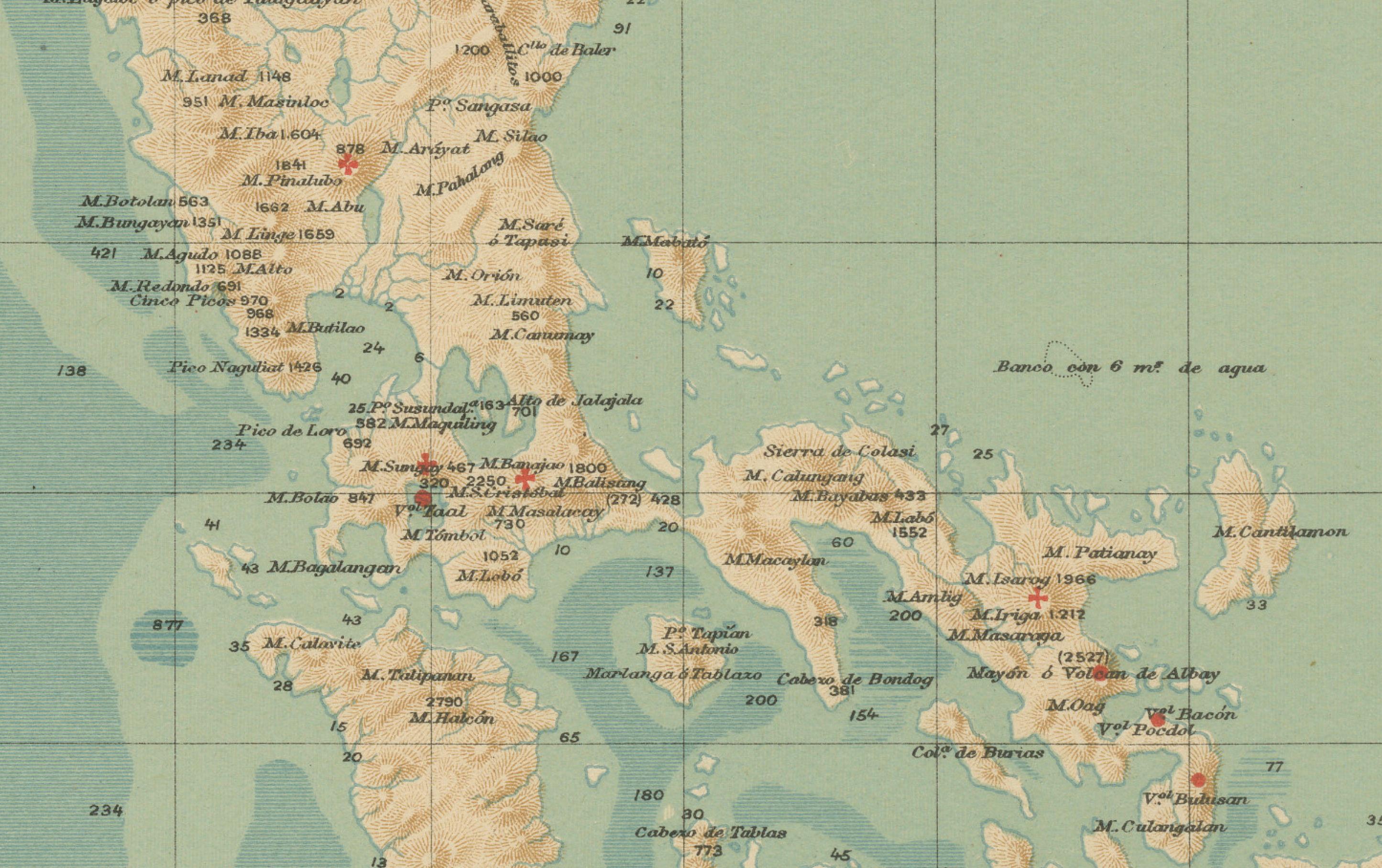
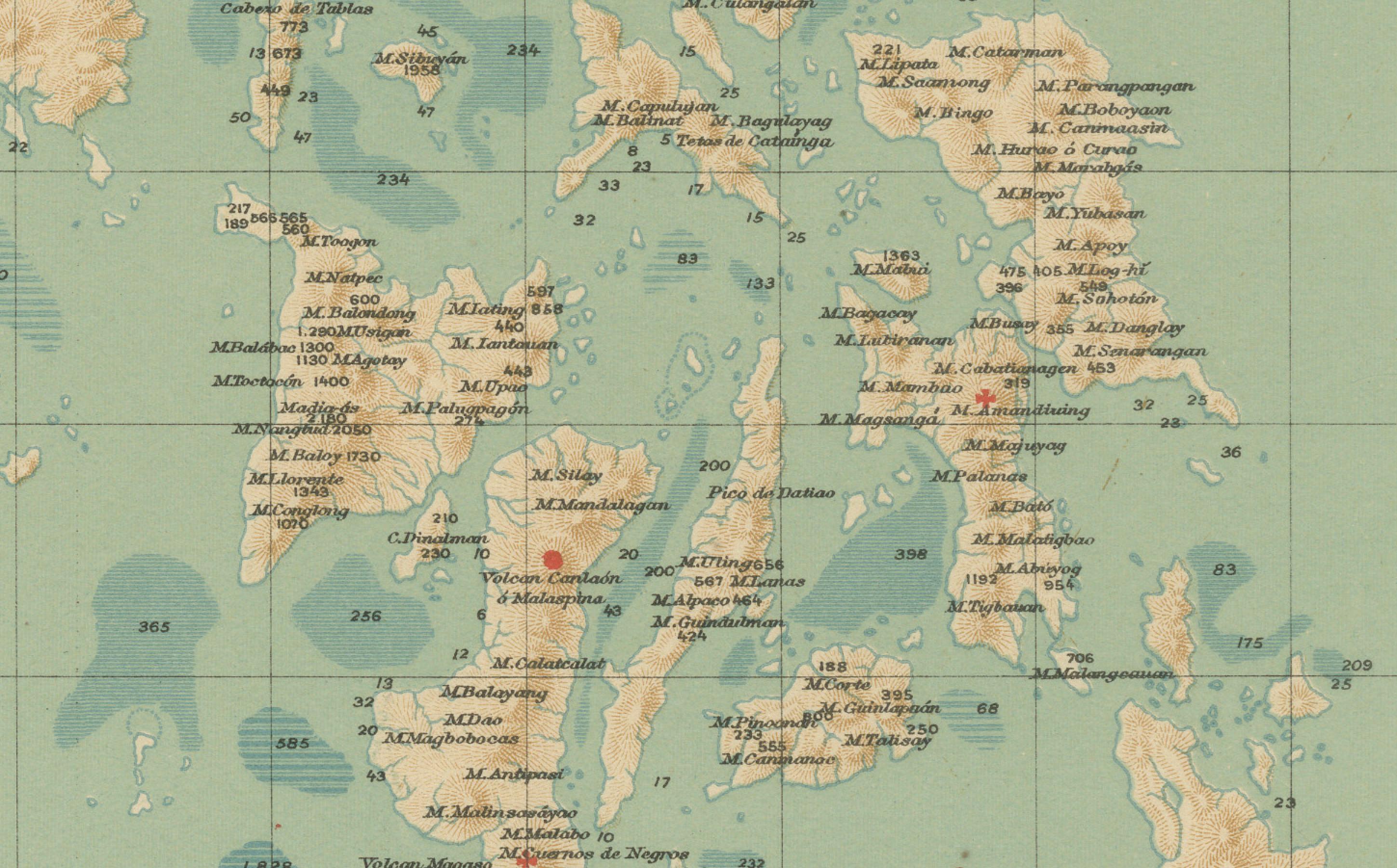
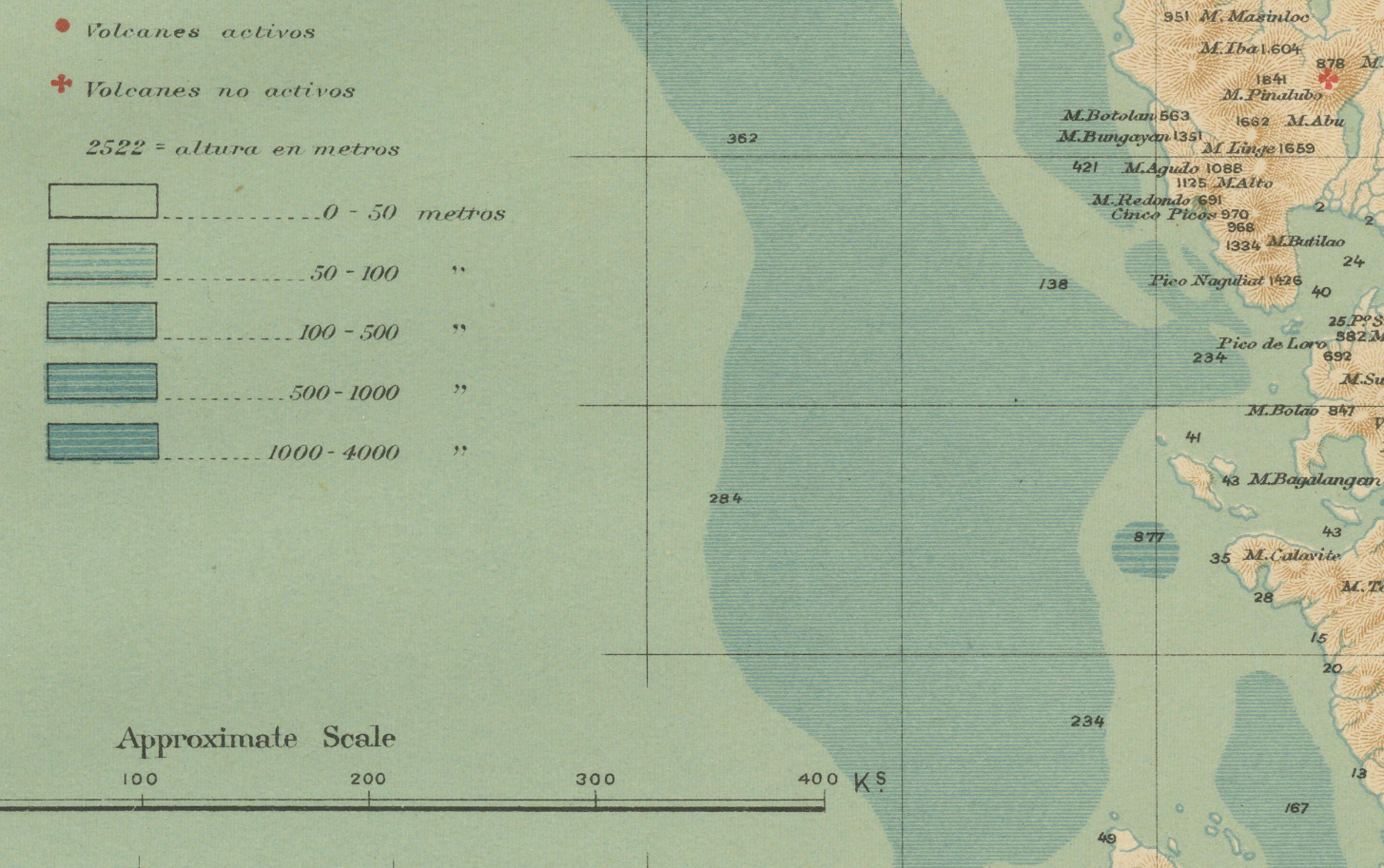
The map presents an orographic (topographic) view of the Philippine Archipelago, illustrating the country’s mountain systems, elevations, and reliefs with shaded contour lines. It distinguishes the archipelago’s principal highland and lowland zones through color gradations—ranging from the mountain chains of northern Luzon and Mindanao to the coastal plains and valleys of the Visayas. The “Signos” legend in the lower left identifies elevation categories, from 0–200 meters to over 2,000 meters above sea level.
Printed with meticulous clarity and refined coloring, the map integrates both scientific accuracy and aesthetic appeal. It bears two official markings: the red ink stamp of the “Observatorio de Manila” and the embossed seal of the “U.S. Coast and Geodetic Survey,” confirming its authenticity and dual publication during the pivotal shift from Spanish to American administration.
This orographic map stands as an early example of modern topographic mapping in the Philippines and reflects the pioneering scientific work of Jesuit cartographers in collaboration with American geographers. It not only documents the natural landscape but also symbolizes the Philippines’ transition into a new era of scientific cartography.
Condition: Excellent, with original color, very light toning, and wide margins. Both embossed and inked official seals clearly visible.
Framing tips: Best displayed in a light or walnut wood frame with a soft beige or cream mat to accentuate the subtle blue and tan shading of the topography.
Technique: Chromolithograph on paper Maker: Rev. José Algué, S.J., Observatorio de Manila, 1899