About this sheet
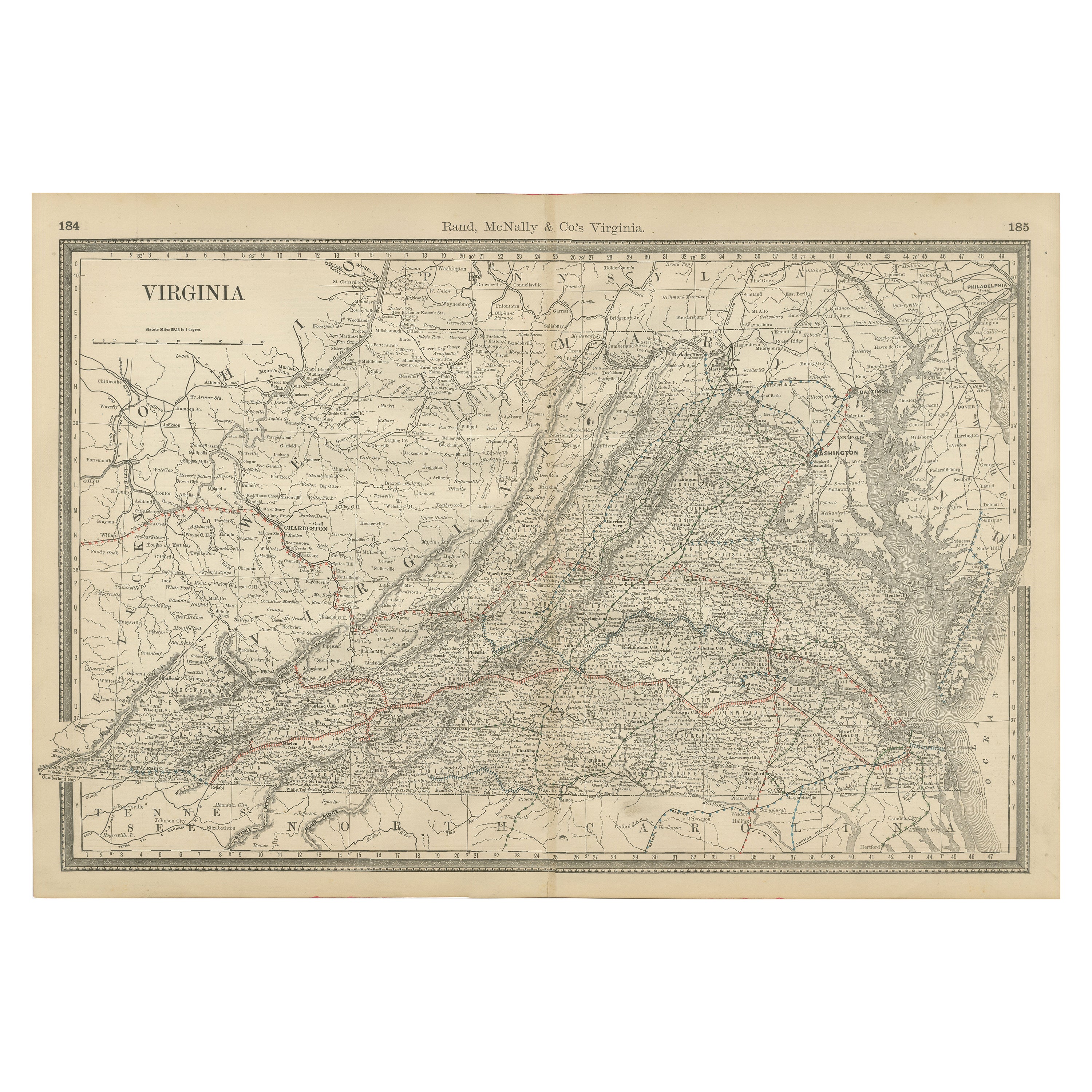
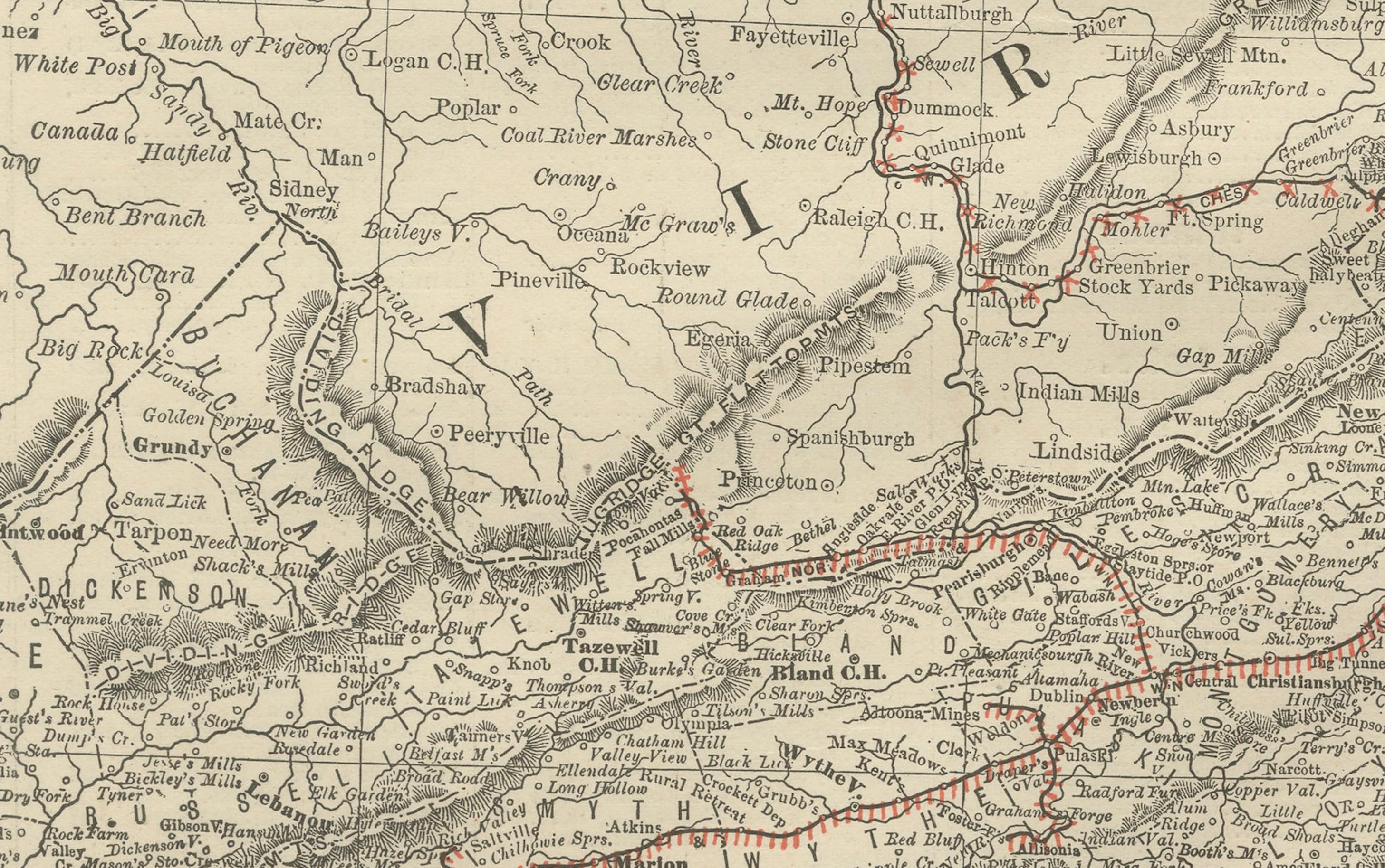
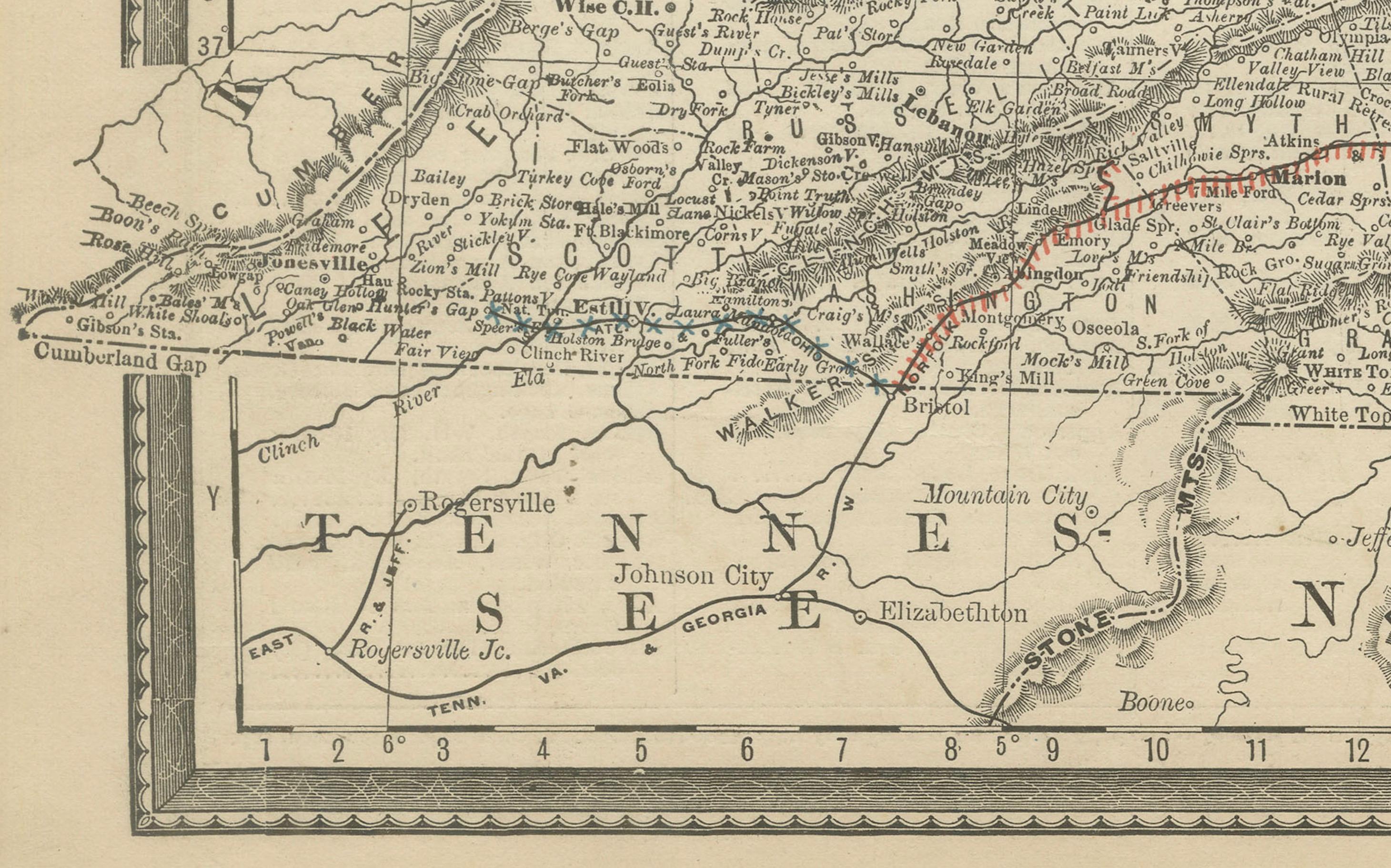
Antique Map of Virginia – Rand McNally, circa 1888
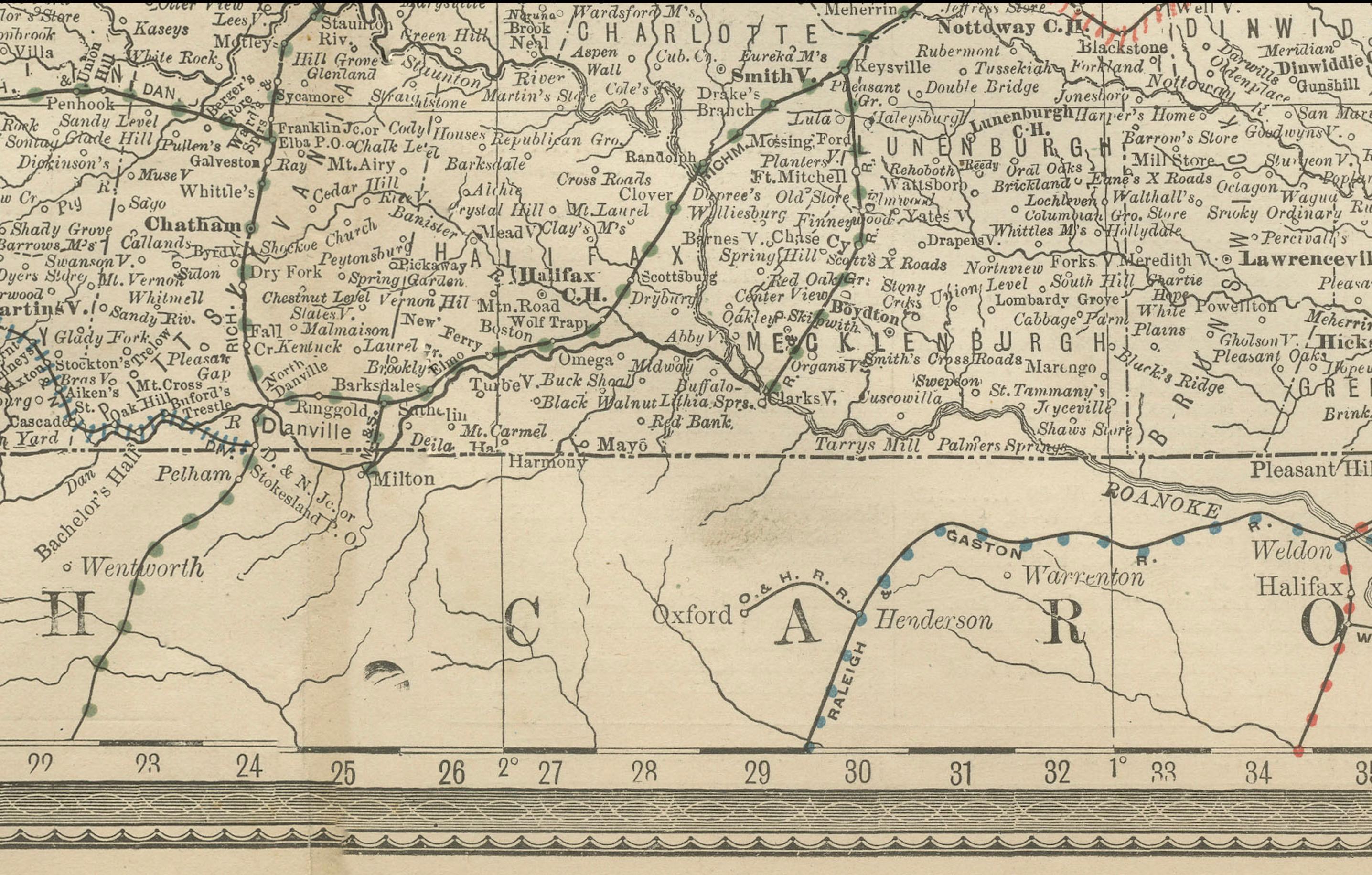
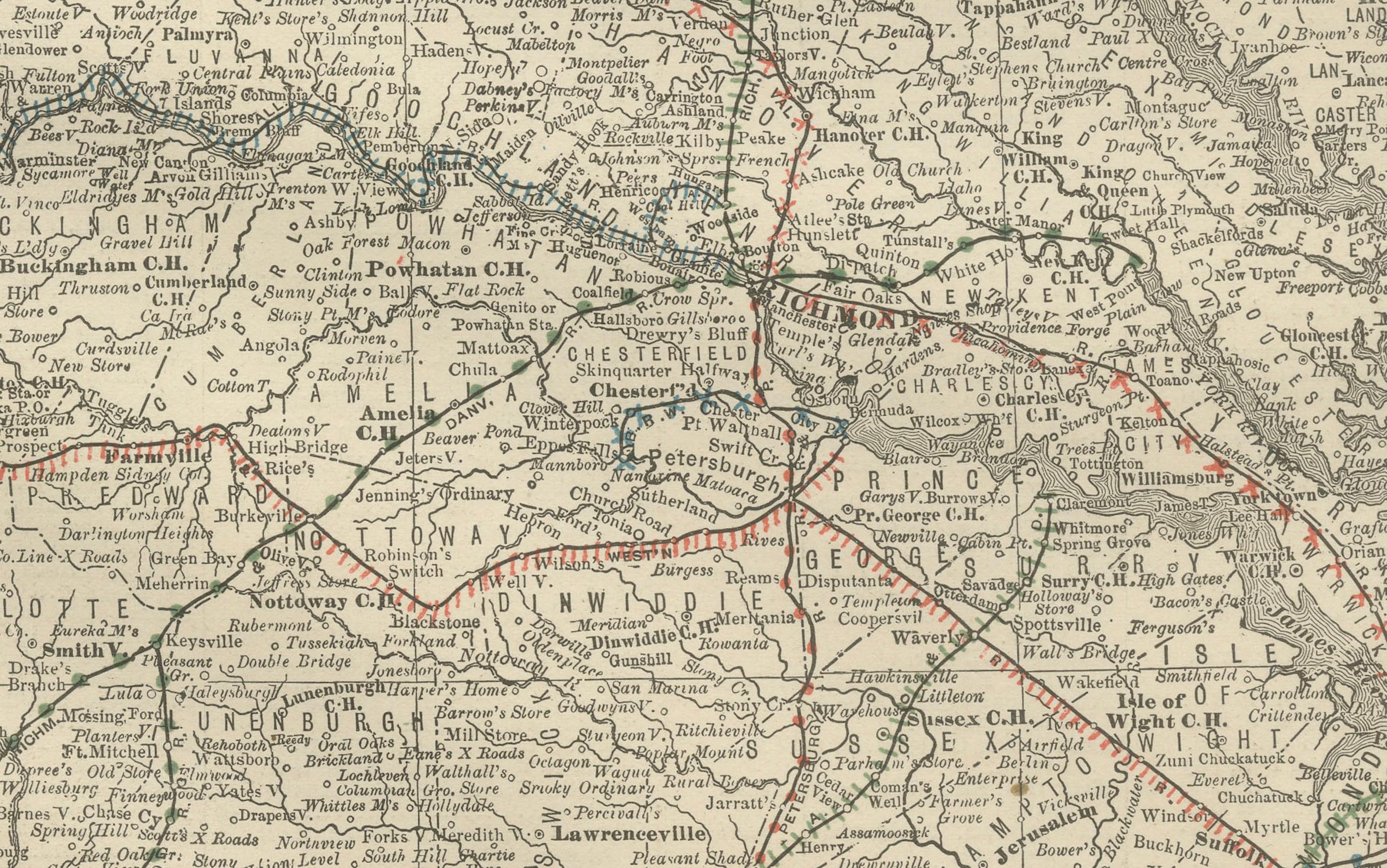
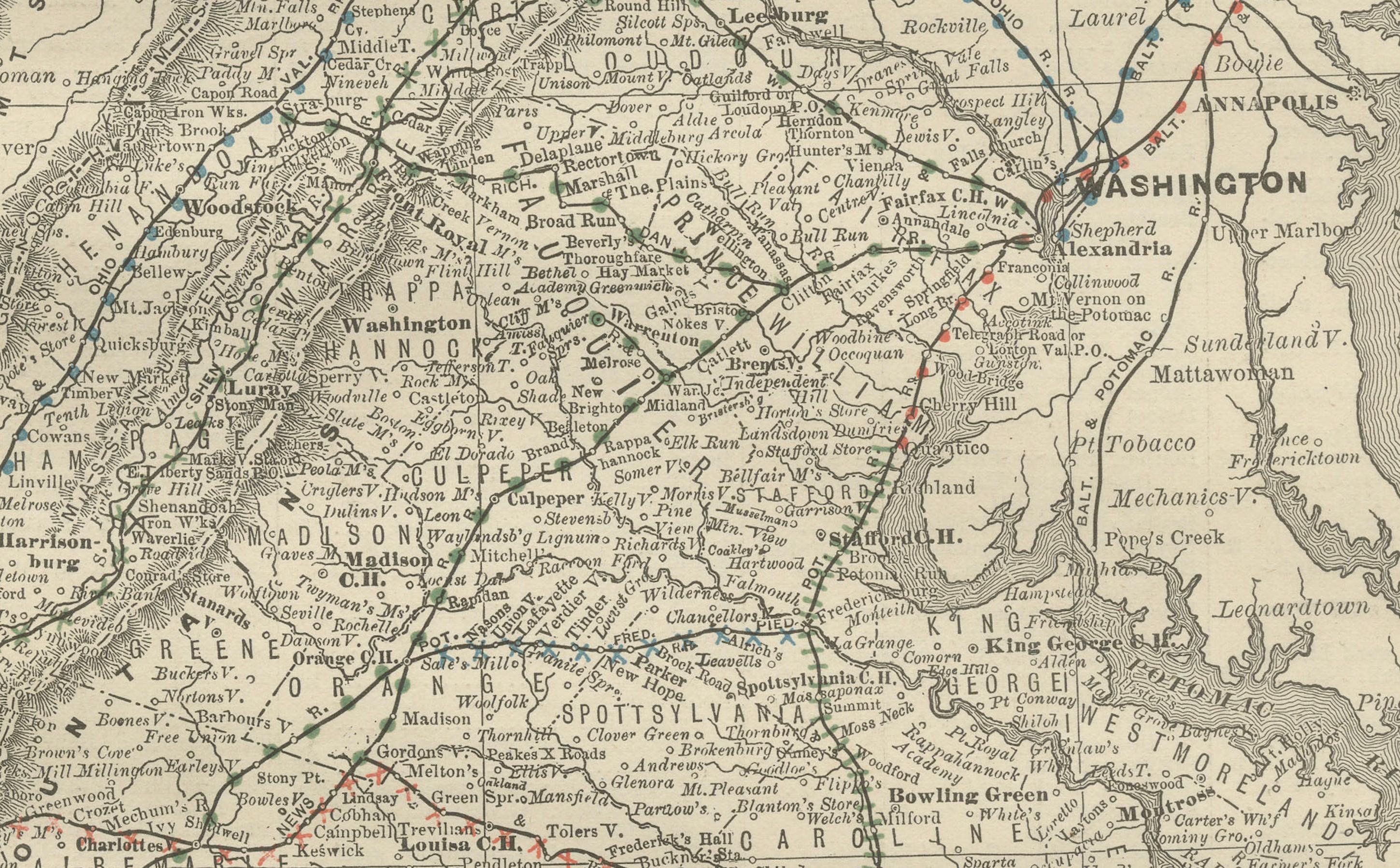
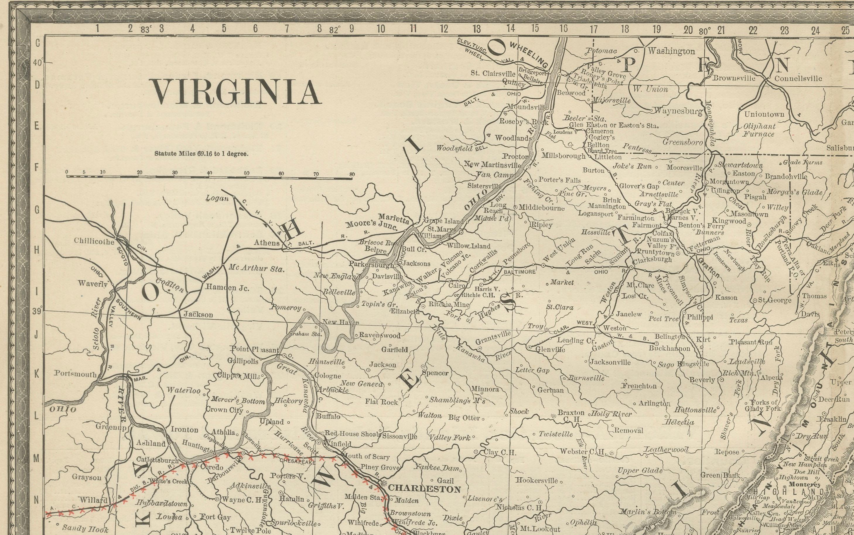
This antique map of Virginia was published by Rand, McNally & Co. around 1888. Drawn from one of their influential late 19th-century atlases, it provides a comprehensive view of Virginia’s geography, towns, and transportation network at a pivotal time in the state’s post-Civil War development.
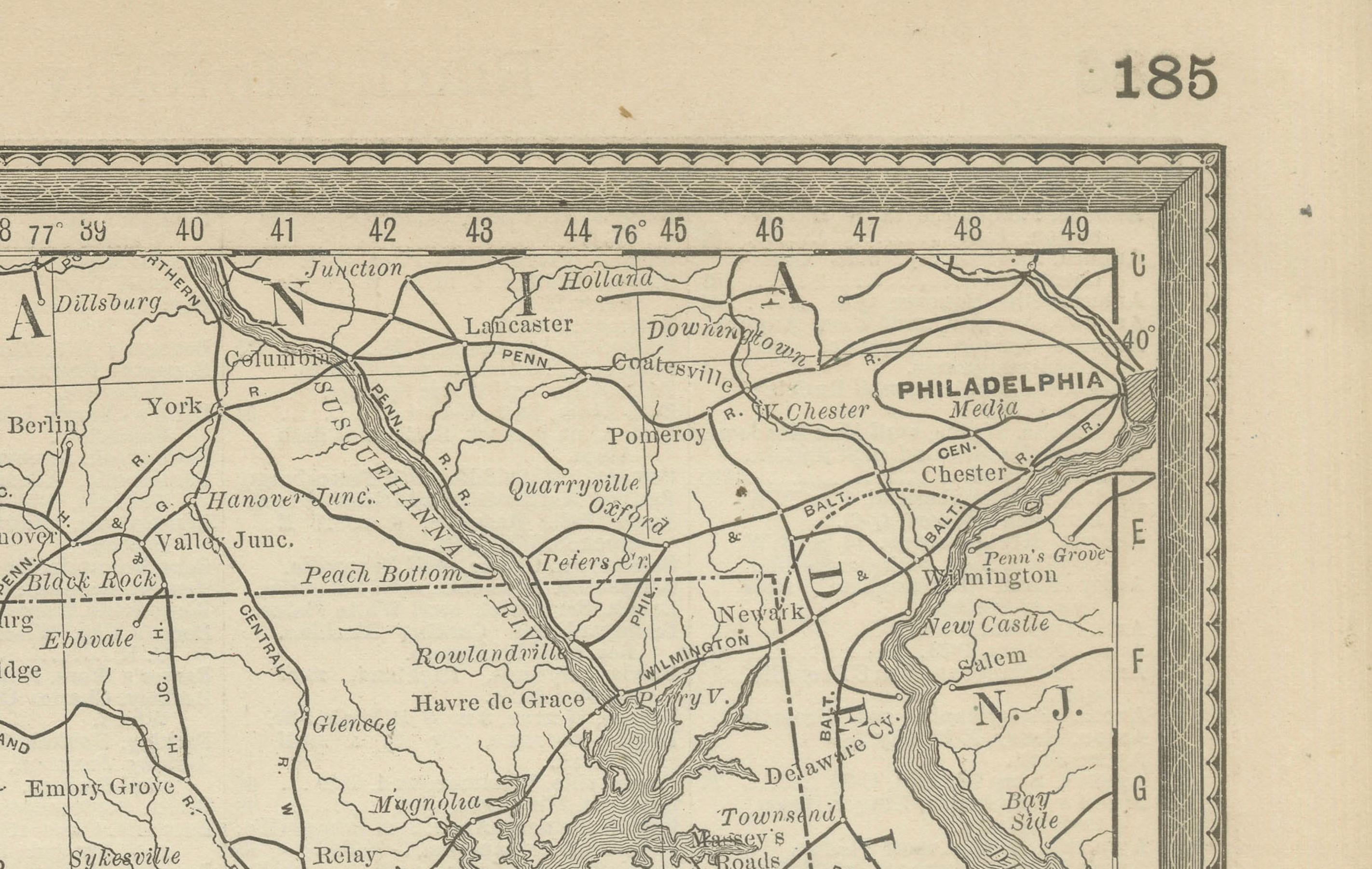
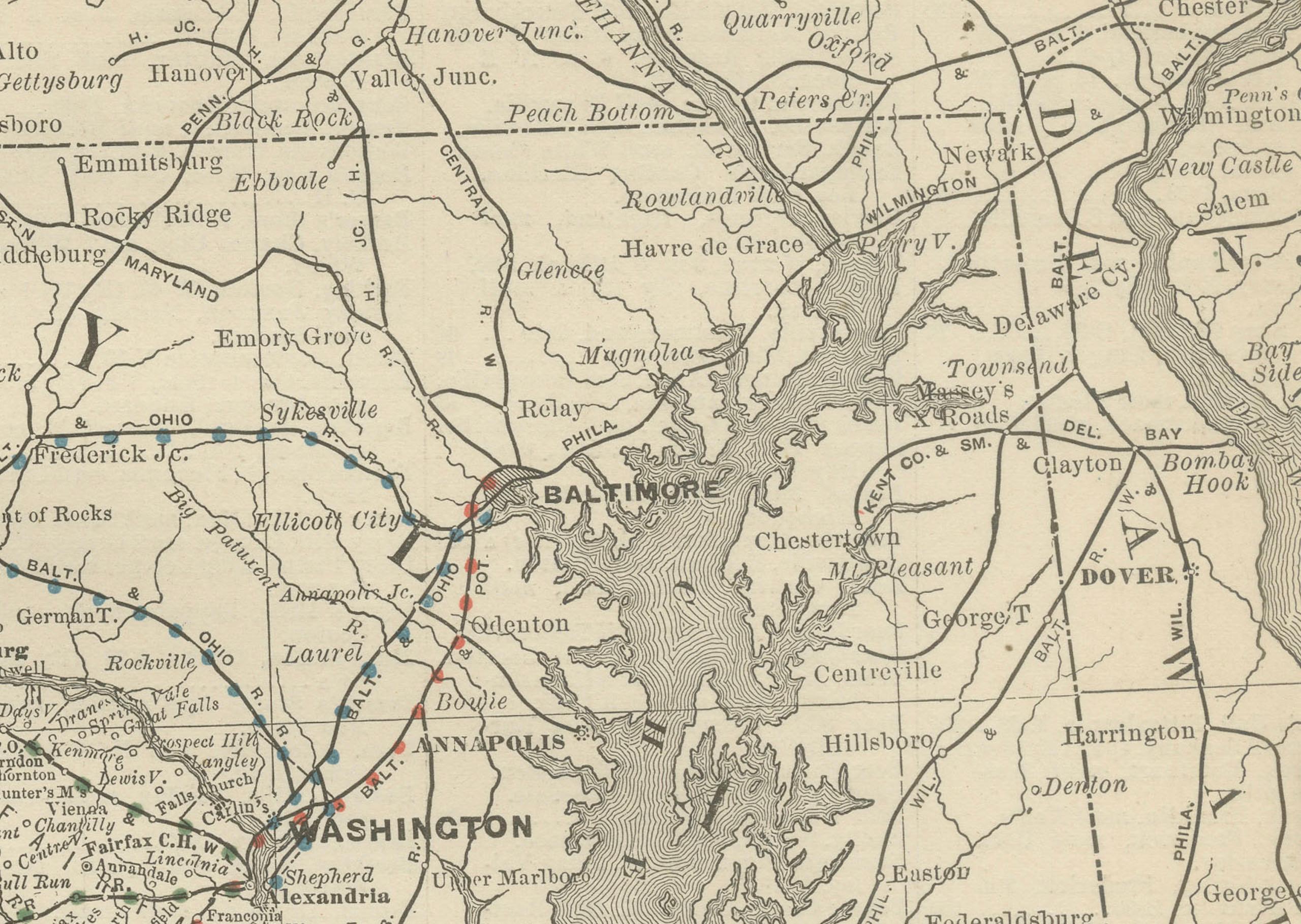
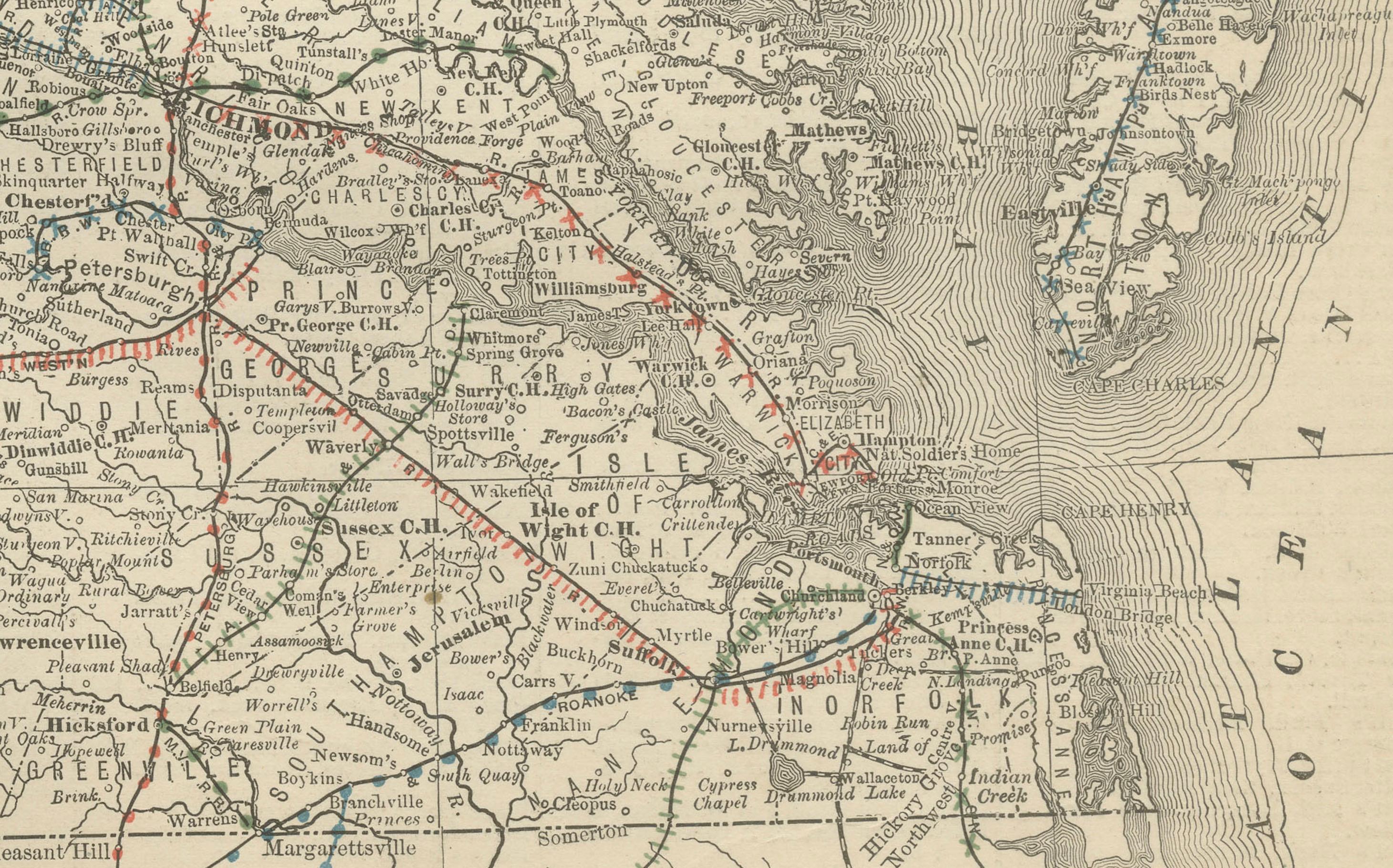
The map encompasses the entire state of Virginia, clearly marking county boundaries, towns, rivers, and mountain ranges. Major cities such as Richmond, Norfolk, Lynchburg, and Alexandria are highlighted, while Washington, D.C., is shown just beyond the northern border. The Shenandoah Valley and the Blue Ridge Mountains are carefully engraved, emphasizing the state’s rugged interior topography.
Railroads, a defining feature of Rand McNally’s maps, are shown in red and blue, illustrating Virginia’s expanding connections with neighboring states and ports along the Chesapeake Bay and Atlantic coast. The Chesapeake region is finely detailed, including the intricate waterways that played a vital role in the state’s trade and economy.
By the late 19th century, Virginia was undergoing a transformation from its war-torn past into a state increasingly integrated with the industrial and commercial systems of the United States. This map captures that transition with clarity and precision, making it both a decorative and historically significant artifact.
Condition report:
Good condition with light age toning and mild handling wear. Original center fold as issued with faint darkening along the crease. Plate mark visible. Strong, clear impression with fine engraved detail.
Framing tips:
A walnut or mahogany frame with a cream or ivory mat will enhance the engraving and highlight the railroad routes. A double mat with a soft grey or pale blue inner layer can draw attention to the Chesapeake Bay and coastline, creating a balanced presentation.
Technique: Lithograph with original outline color
Maker: Rand, McNally & Co., Chicago, circa 1888
---