One of a kind: this is the sheet in the photographs. Ships from Langweer, the Netherlands.
Date
1899
Sheet size
37 × 32.5 cm (14.6 × 12.8 in)
Condition
Excellent
Reference
BG-12176-5
Condition
with original color, light marginal toning, and clear institutional stamps.
About this sheet
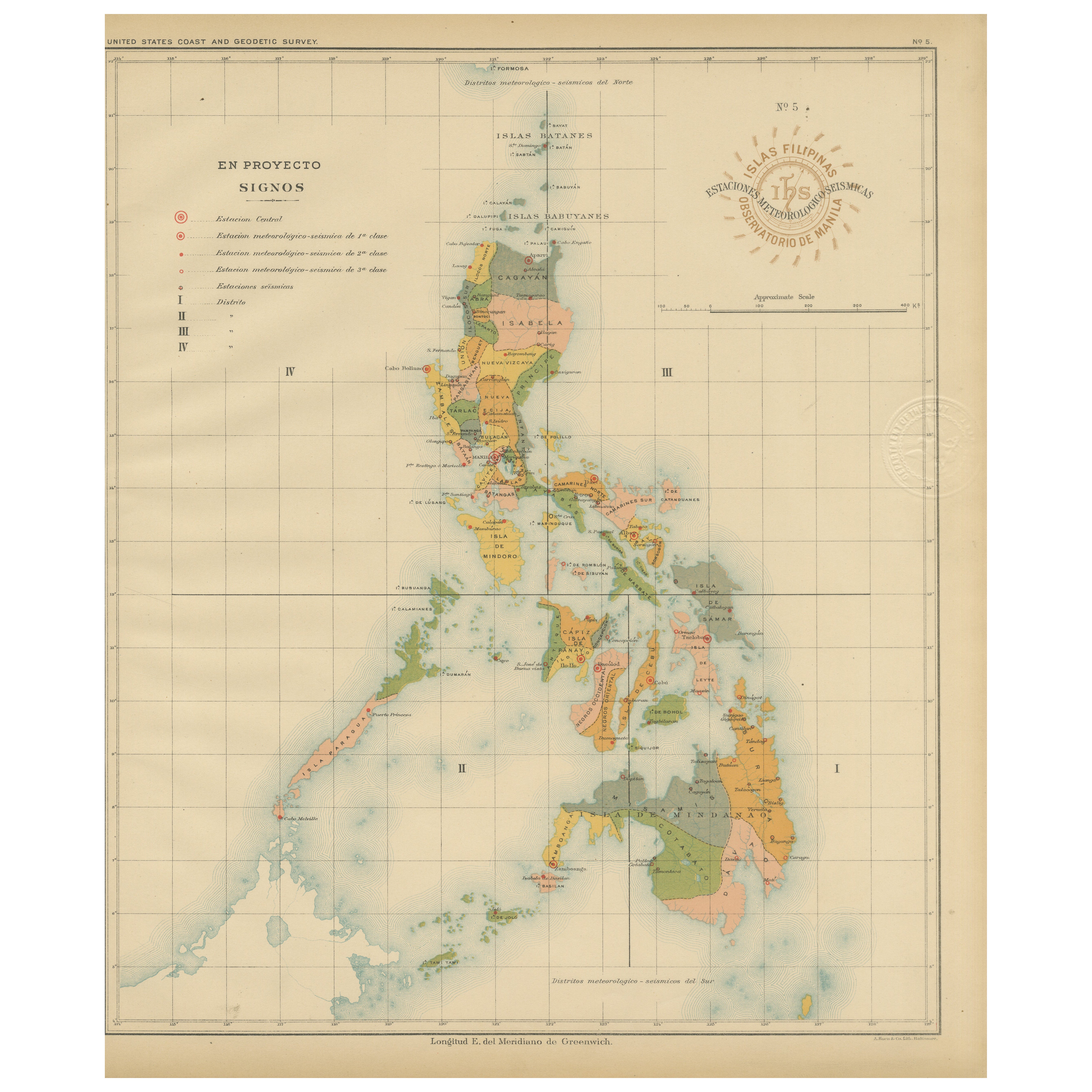
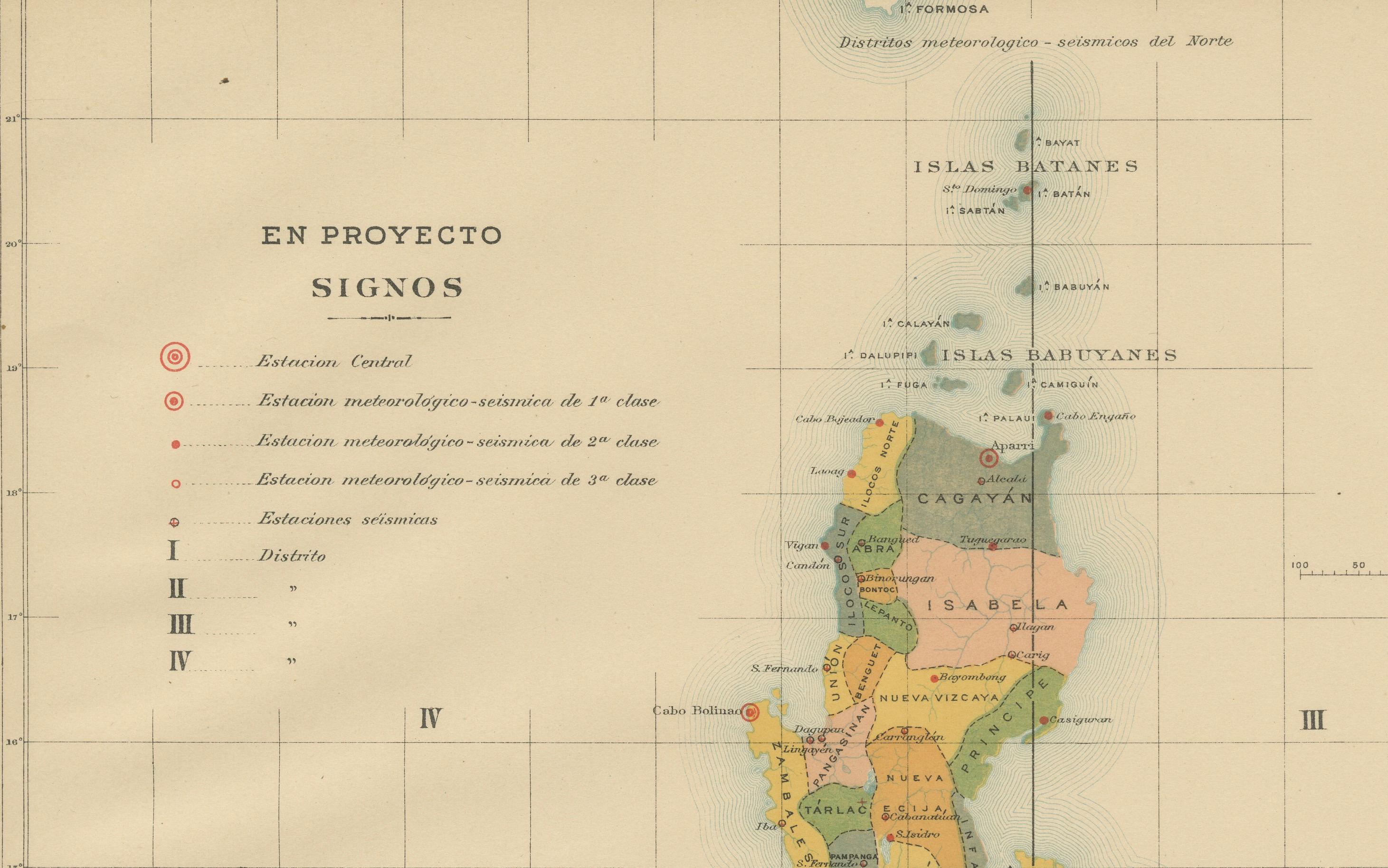
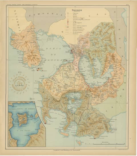
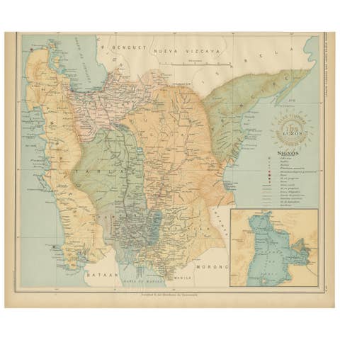
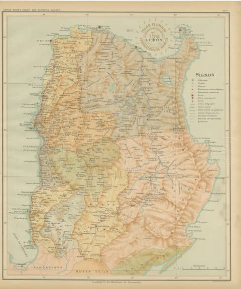
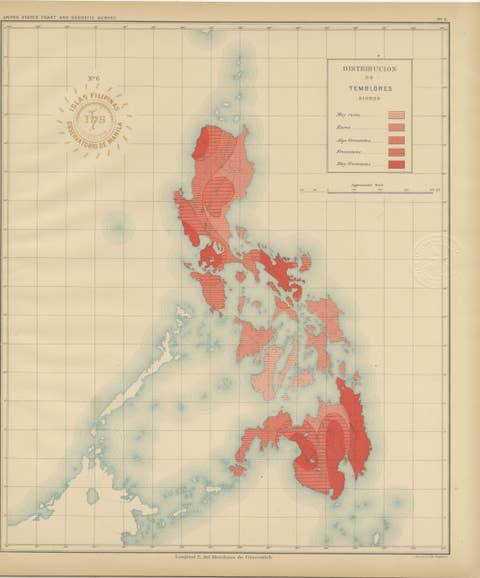
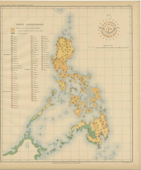
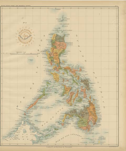
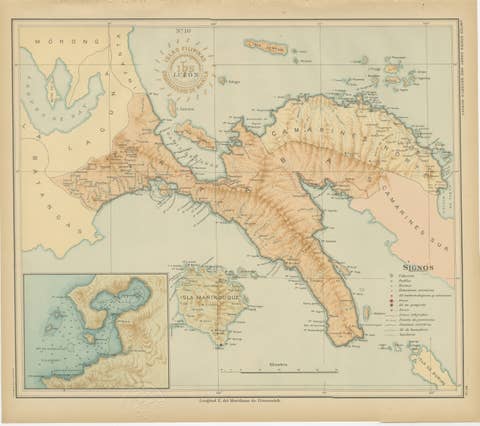
This rare scientific chromolithograph titled “Islas Filipinas – Estaciones Meteorológicas y Sísmicas” was produced in 1899 under the direction of Rev. José Algué, S.J., Director of the Observatorio de Manila. Issued as Plate No. 5 from the Atlas de Filipinas, it is one of the earliest printed maps to document the meteorological and seismological observation network of the Philippines at the end of the 19th century.
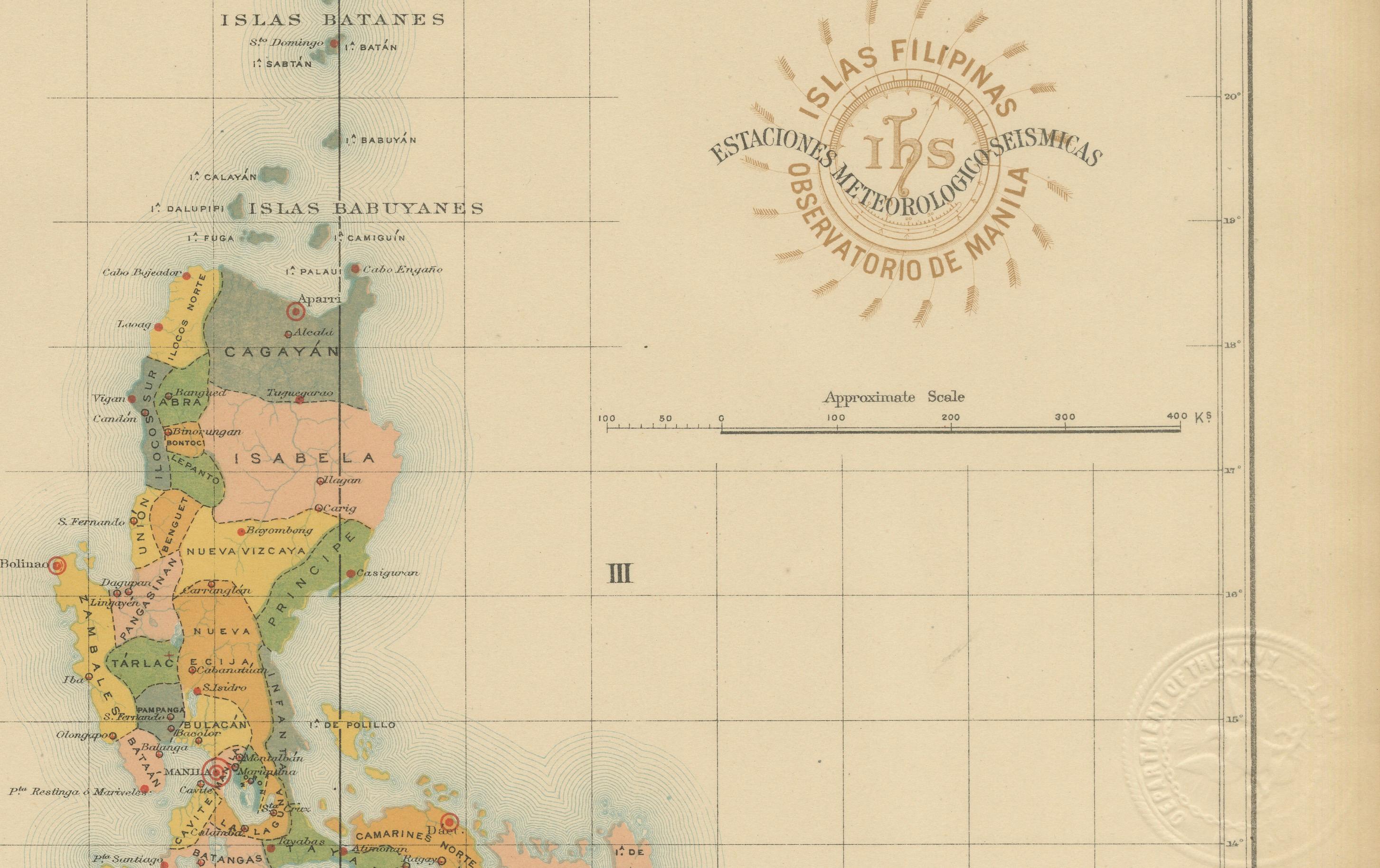
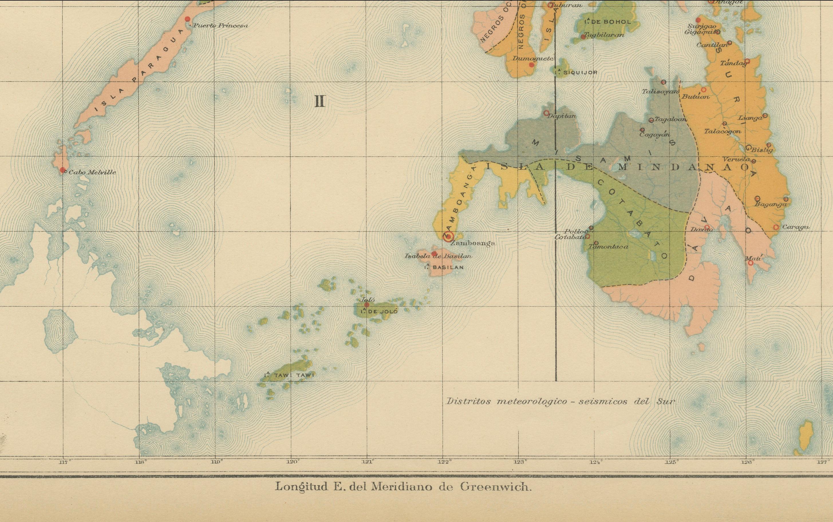
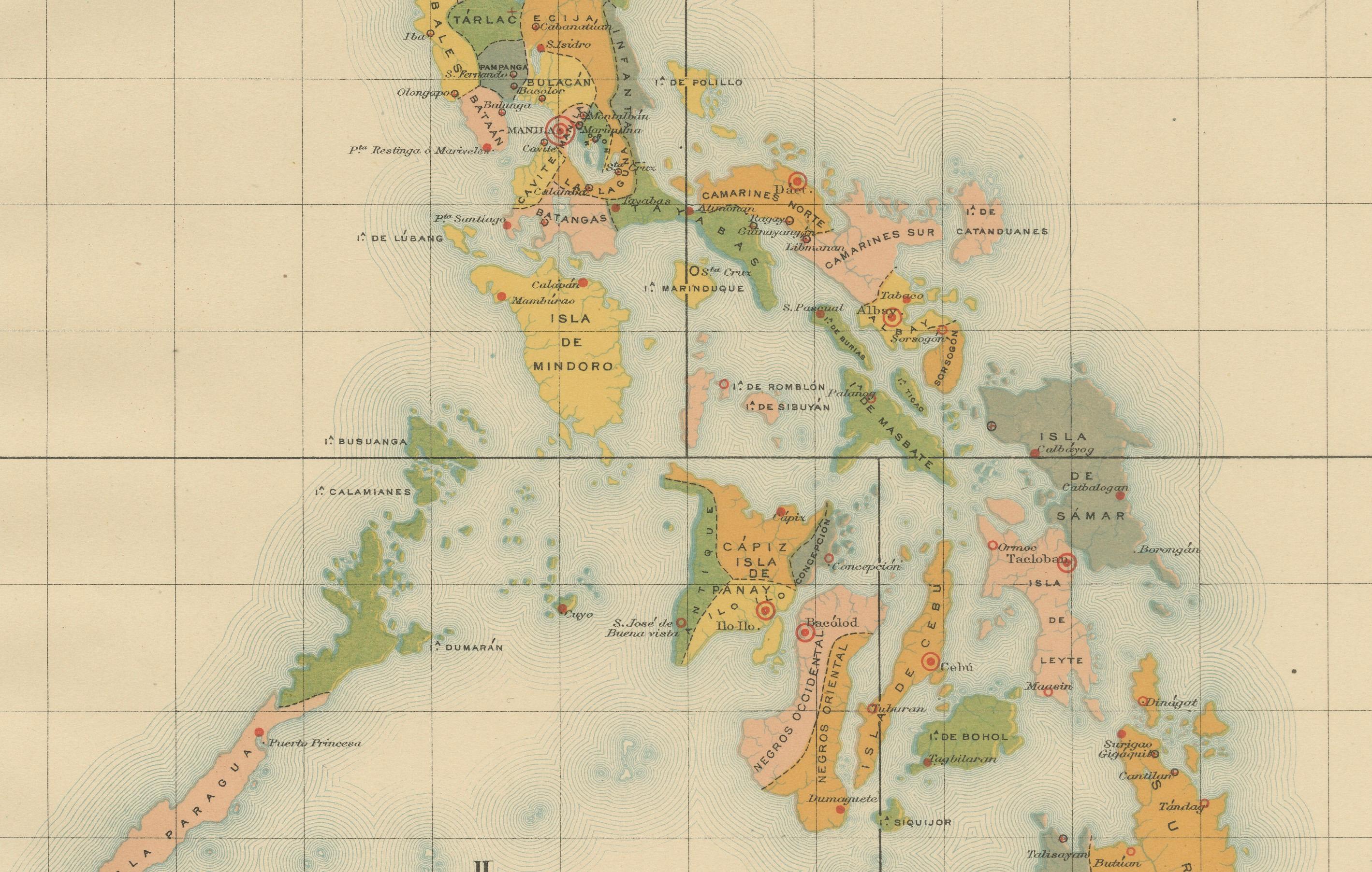
The map shows the entire archipelago divided into numbered “Distritos meteorológicos y sísmicos” (meteorological and seismic districts), with color-shaded regions corresponding to distinct administrative zones of observation. Red symbols denote various categories of stations, as explained in the legend titled “Signos,” including Estaciones centrales, Estaciones meteorológicas-sísmicas de 1ª clase, and Estaciones meteorológicas-sísmicas de 2ª clase. Planned but not yet established stations are labeled En Proyecto, marking the ambitious scope of the network under development at the time.
This map was a product of the Jesuit scientific tradition that made the Observatorio de Manila one of Asia’s foremost centers of atmospheric and seismic research. Compiled by Filipino draftsmen under Jesuit supervision, the map reflects both meticulous fieldwork and advanced scientific organization. It bears two official markings: the red circular stamp of the “Observatorio de Manila” and the embossed seal of the “U.S. Coast and Geodetic Survey,” evidencing its inclusion in the 1900 Washington publication of the Atlas of the Philippine Islands.
The map captures a pivotal historical moment: the modernization of Philippine science under the transition from Spanish to American governance. It serves as both a scientific document and a visual testament to early meteorological and seismic research in the Pacific.
Condition: Excellent, with original color, light marginal toning, and clear institutional stamps.
Framing tips: Display in a dark walnut or mahogany frame with an off-white or soft beige mat to highlight the pastel tones and historical annotations.
Technique: Chromolithograph on paper Maker: Rev. José Algué, S.J., Observatorio de Manila, 1899