About this sheet
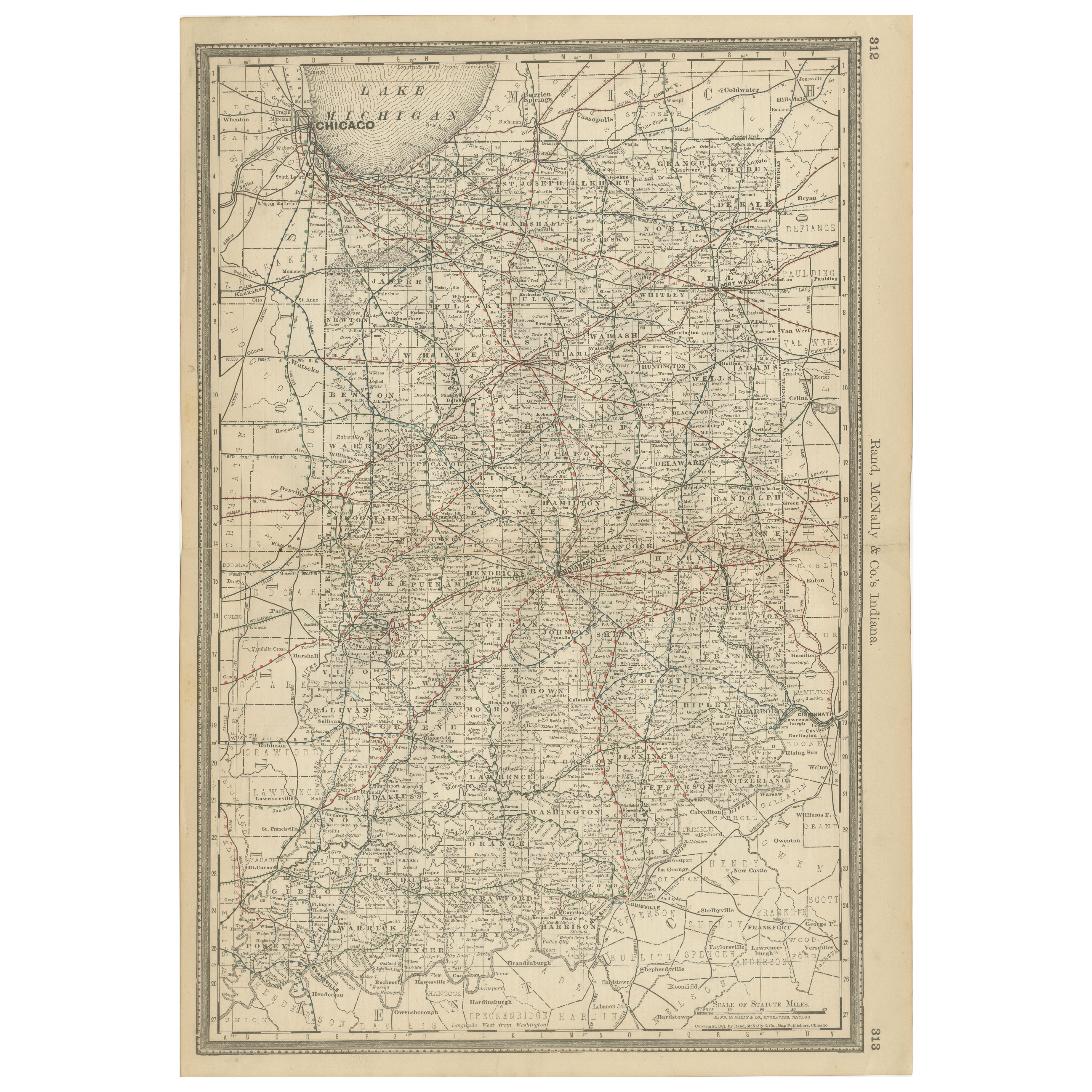
Antique Map of Indiana – The Hoosier State with Railroads & Counties, 1888
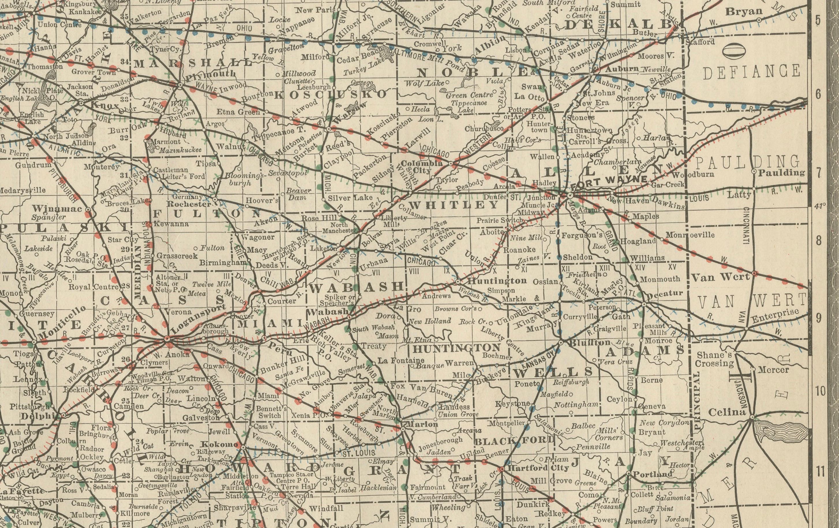
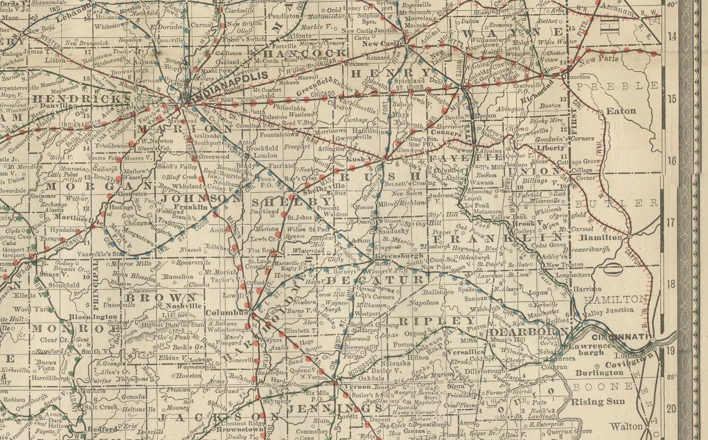
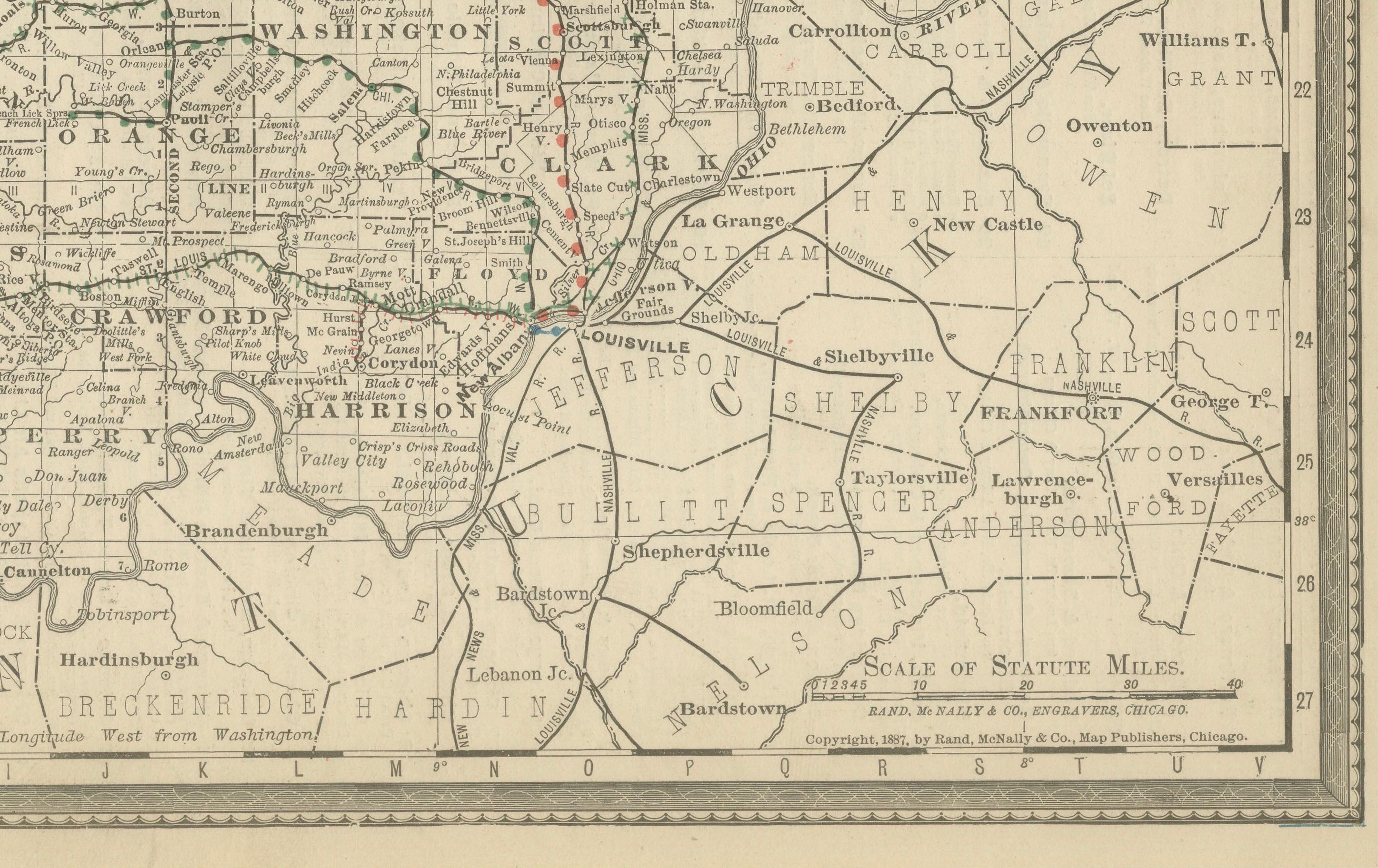
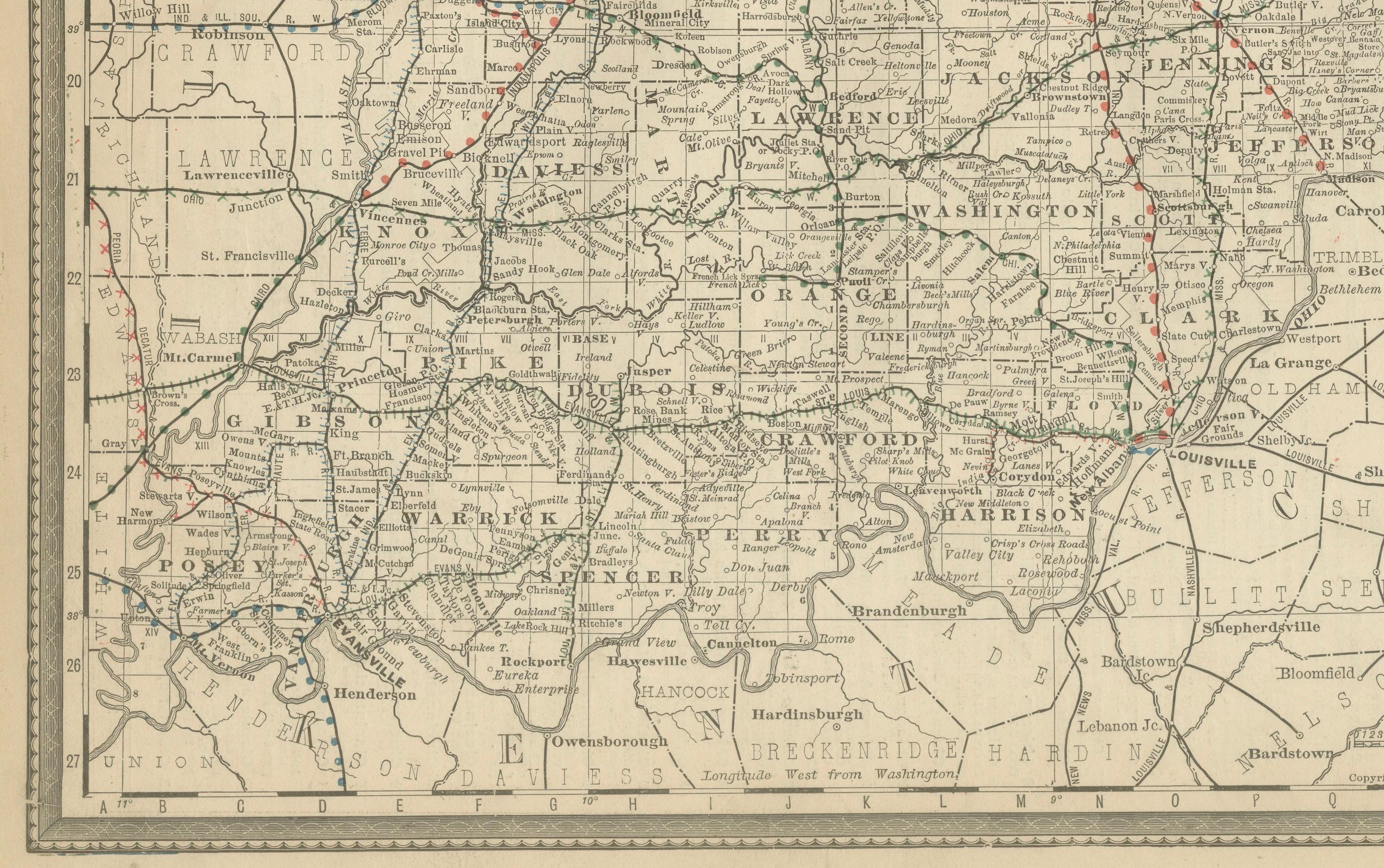
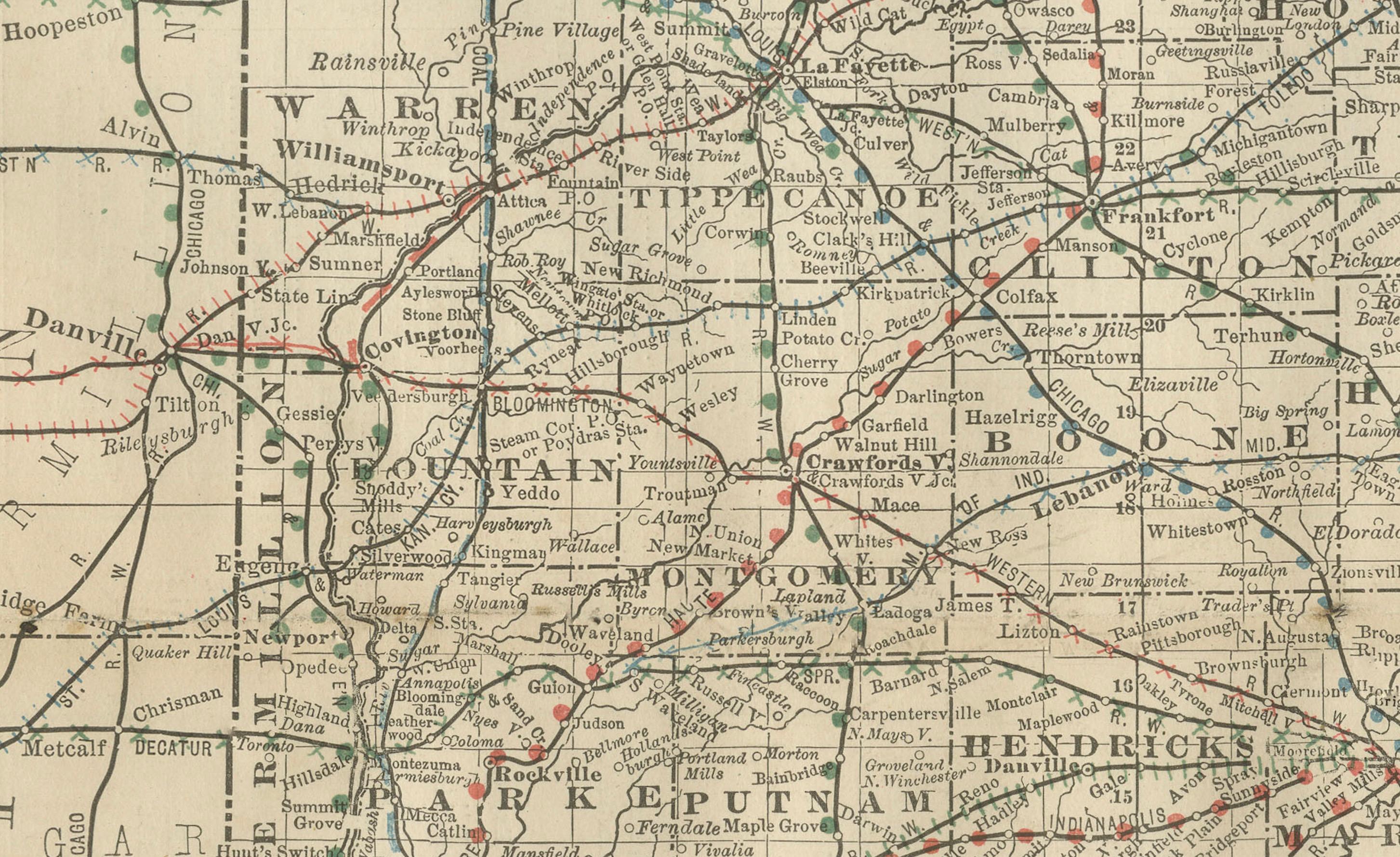
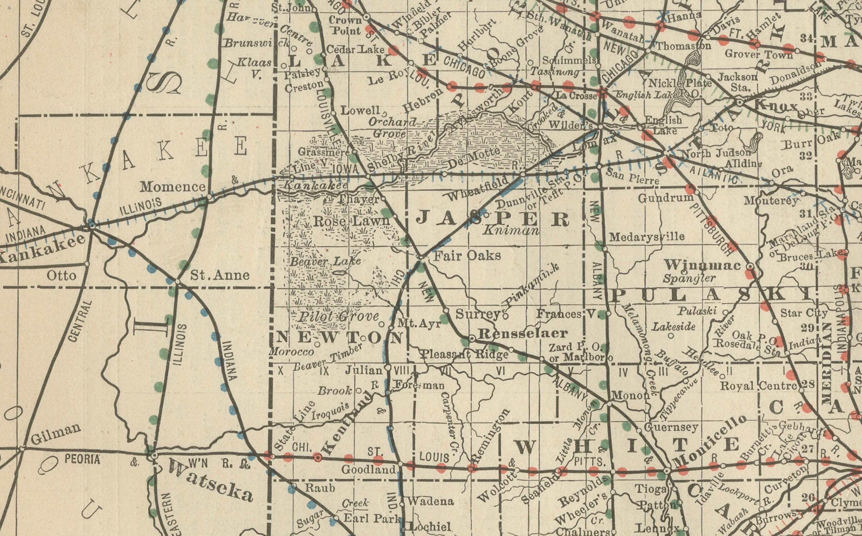
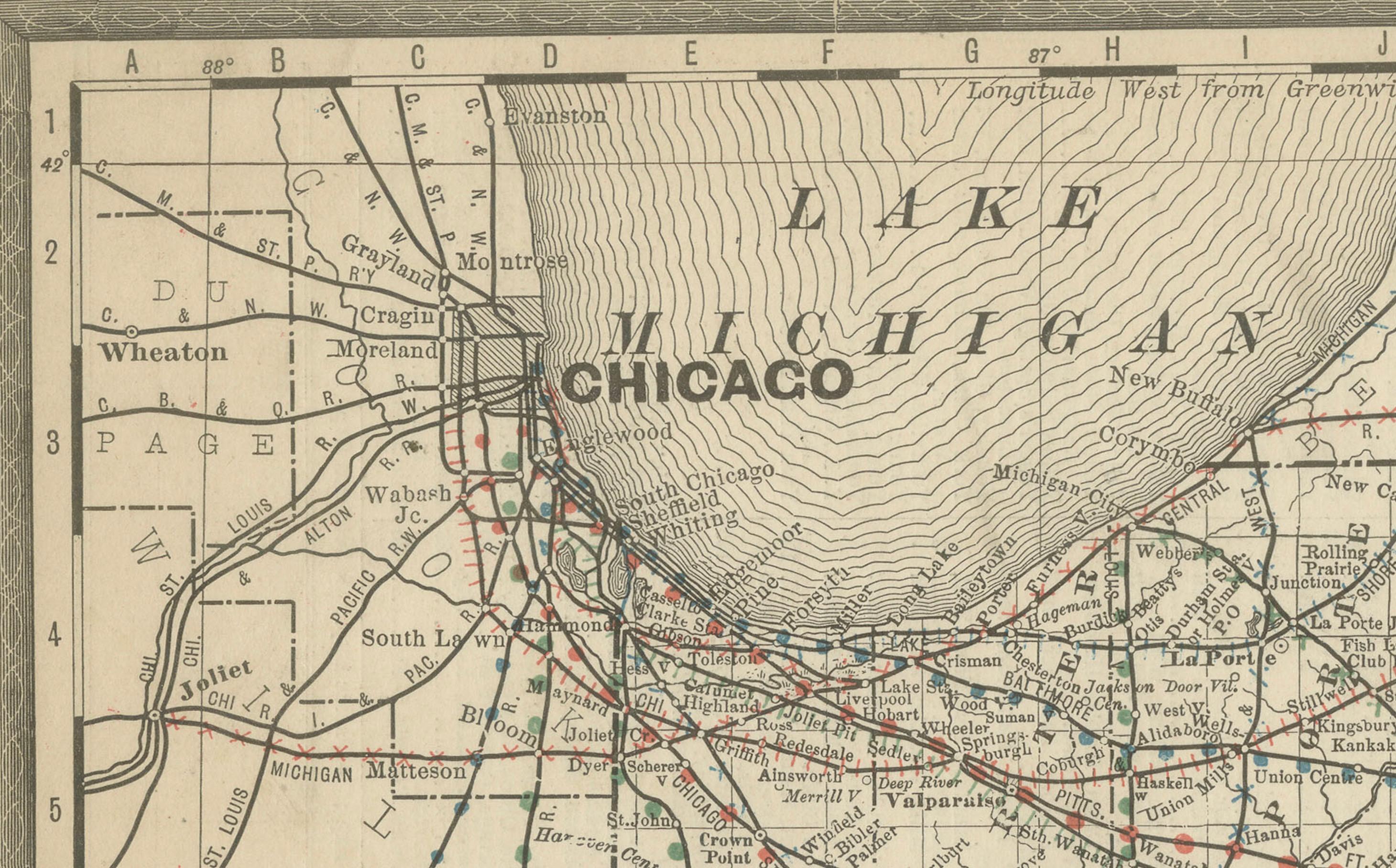
This antique engraved map of Indiana, published in 1888 by Rand, McNally & Co. in Chicago for their *Improved Indexed Business Atlas and Shippers Guide*, provides a detailed view of the “Hoosier State” in the late 19th century. It shows Indiana’s counties, townships, towns, and a dense web of railroads that reflect the state’s central role in Midwestern commerce and transport.
The map highlights Indiana’s extensive railroad system, engraved in red and blue, with Indianapolis standing at the heart of a radiating network. Railroads such as the Pennsylvania, Lake Shore & Michigan Southern, and the Louisville, New Albany & Chicago connected the state to Chicago, Louisville, Cincinnati, and St. Louis, making Indiana one of the most important transit corridors of the Midwest. Chicago, marked prominently on the northwest corner along Lake Michigan, reinforces Indiana’s close economic ties to the city.
Counties including Marion, Allen, St. Joseph, Vanderburgh, Tippecanoe, Monroe, and Lake are clearly delineated. Major cities such as Indianapolis (the state capital), Fort Wayne, South Bend, Evansville, Lafayette, Terre Haute, and Bloomington are prominently shown. Smaller towns and railroad depots are also labeled throughout the map, reflecting Indiana’s dense settlement by the 1880s.
Geographic features include rivers such as the Wabash, White, and Ohio, which historically shaped trade and settlement before railroads became dominant. Lake Michigan is partially represented in the northwest corner, marking the location of Chicago and Indiana’s small but vital shoreline.
Historically, this map captures Indiana at a moment of industrial growth. Known as “The Hoosier State,” Indiana was already a leading producer of agricultural goods—corn, wheat, and livestock—while also developing manufacturing centers. Its central location and powerful railroad system made it a vital link between the Great Lakes, the Ohio River, and western markets.
Engraved with precision, this Rand McNally map provided essential information for businessmen, shippers, and settlers in the late 19th century, while today it offers valuable insight into the development of Indiana’s economy and communities.
Condition summary: Good condition overall. Light age toning and faint foxing in the margins. Original fold as issued. Strong paper and crisp engraved detail with no significant tears or repairs.
Framing tips: A walnut or oak frame will complement the antique feel of the piece. For a modern approach, a black frame with ivory matting highlights the fine rail and county detail. A double mat, ivory with a muted red or blue accent, reflects the railroad color scheme on the map.
Technique: Engraving
Maker: Rand, McNally & Co., Chicago, 1888