About this sheet
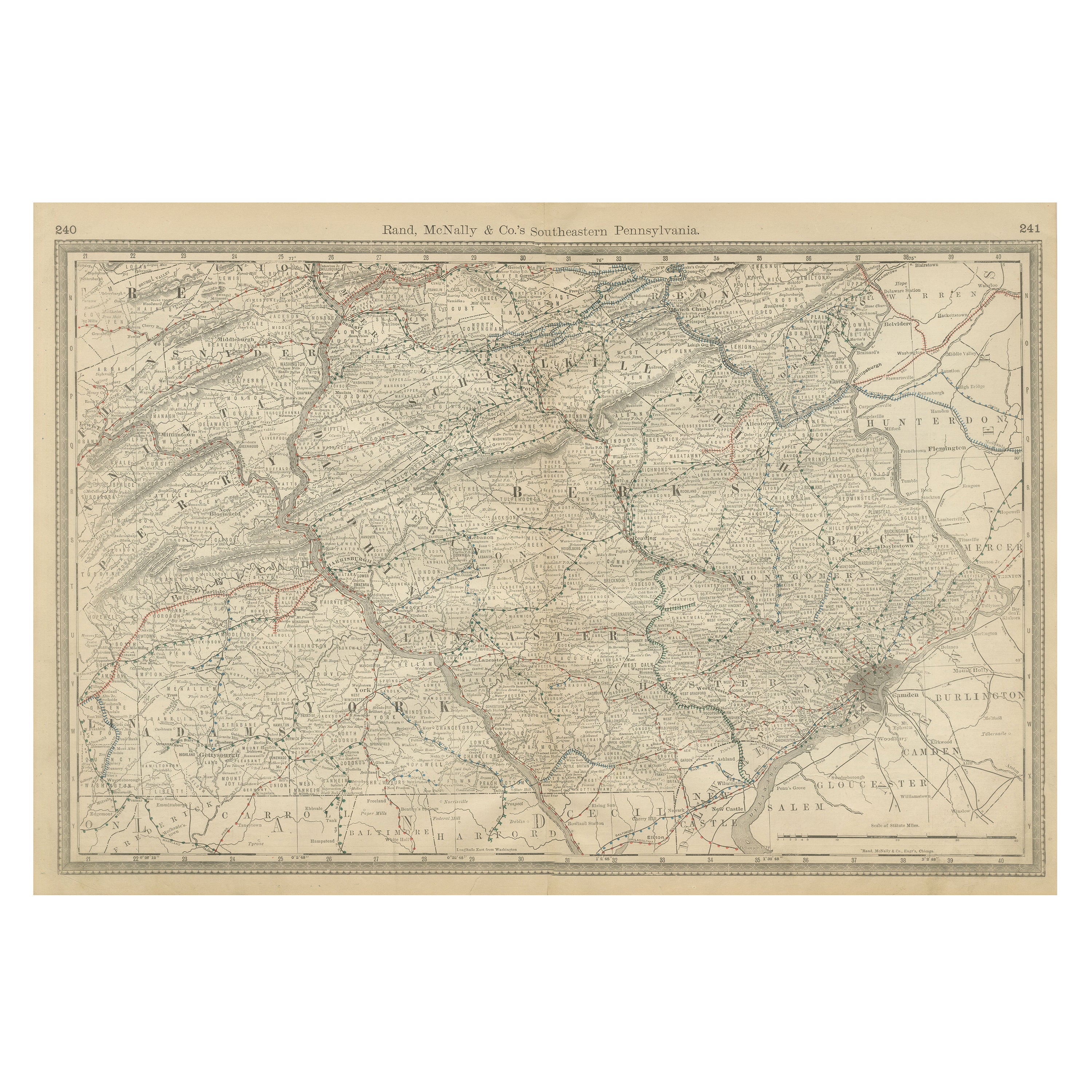
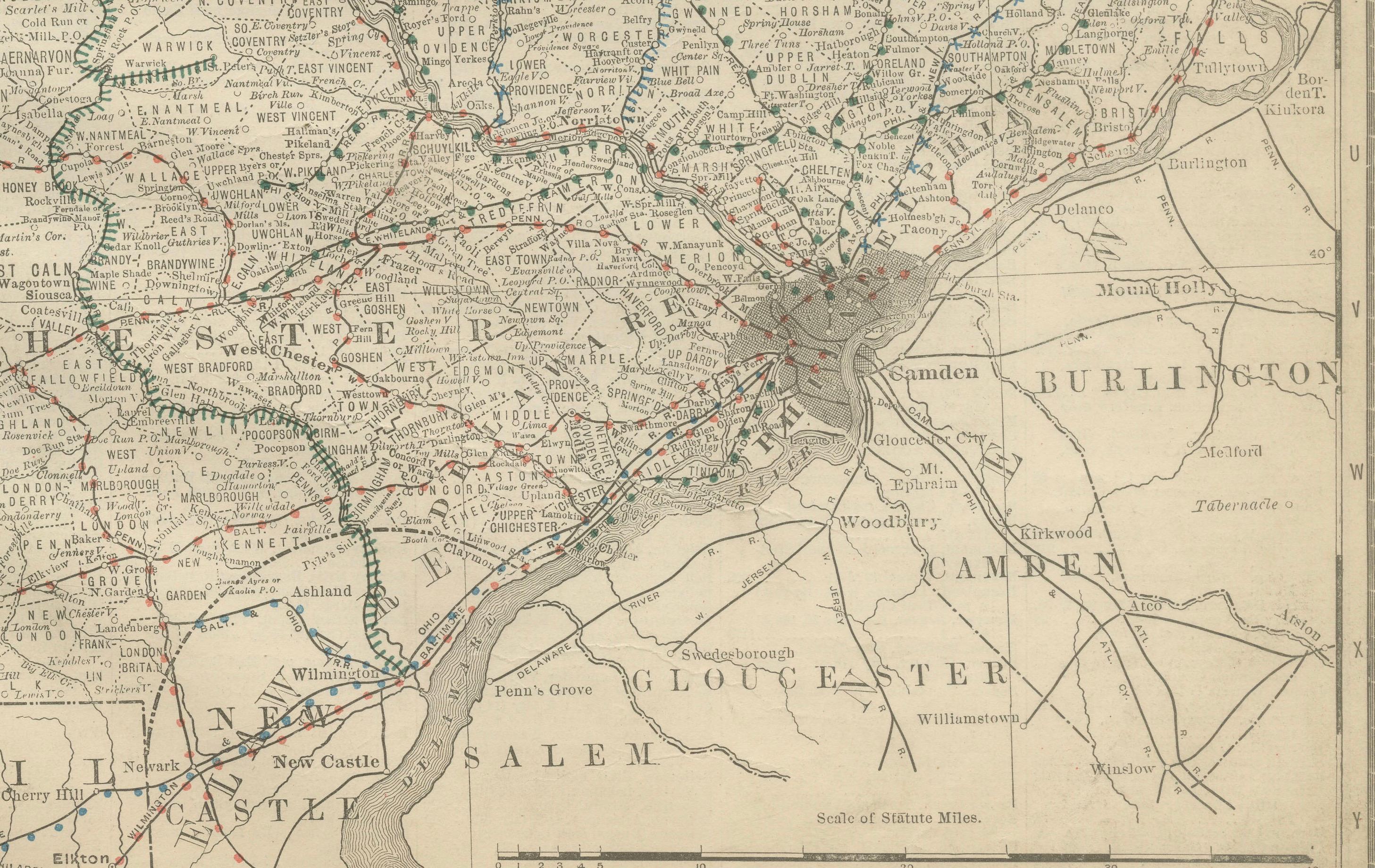
Antique Map of Southeastern Pennsylvania – Rand McNally, circa 1888
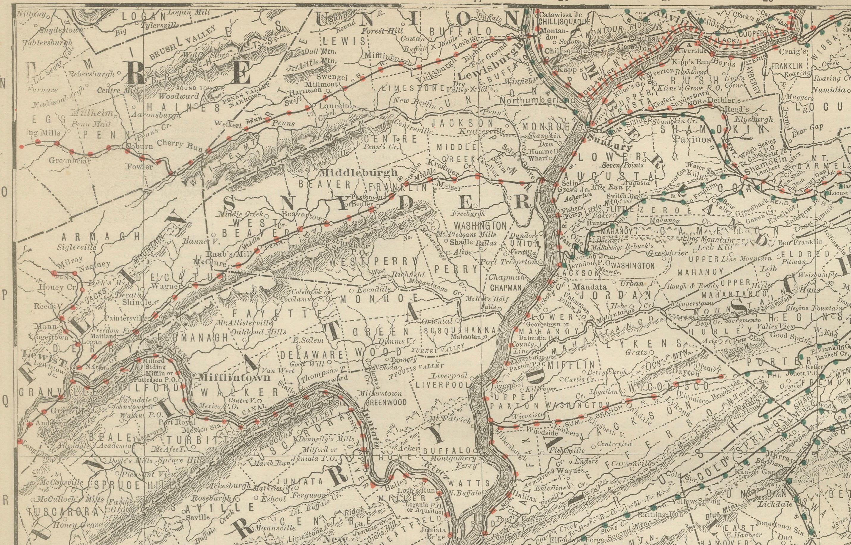
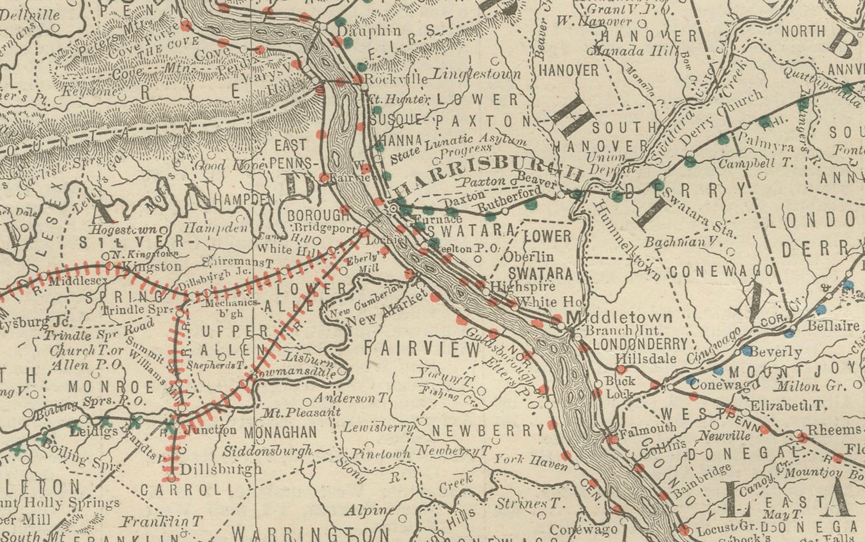
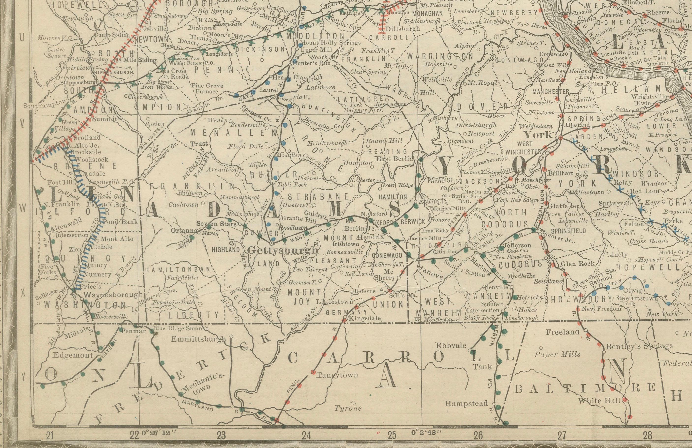
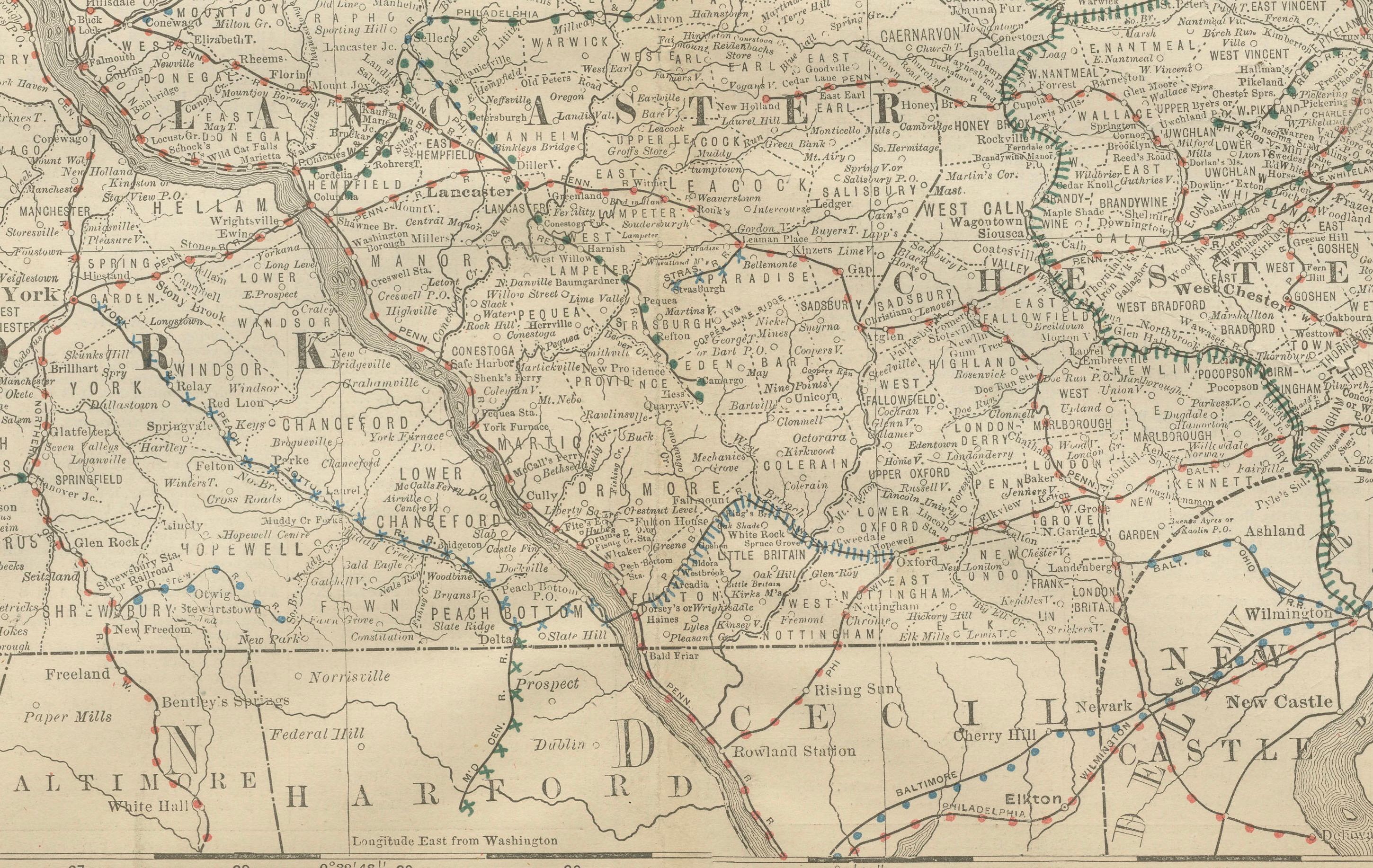
This antique map of southeastern Pennsylvania was published by Rand, McNally & Co. around 1888, taken from one of their renowned late 19th-century atlases. It provides a detailed view of one of the state’s most historically and economically significant regions, including Philadelphia and the surrounding counties.
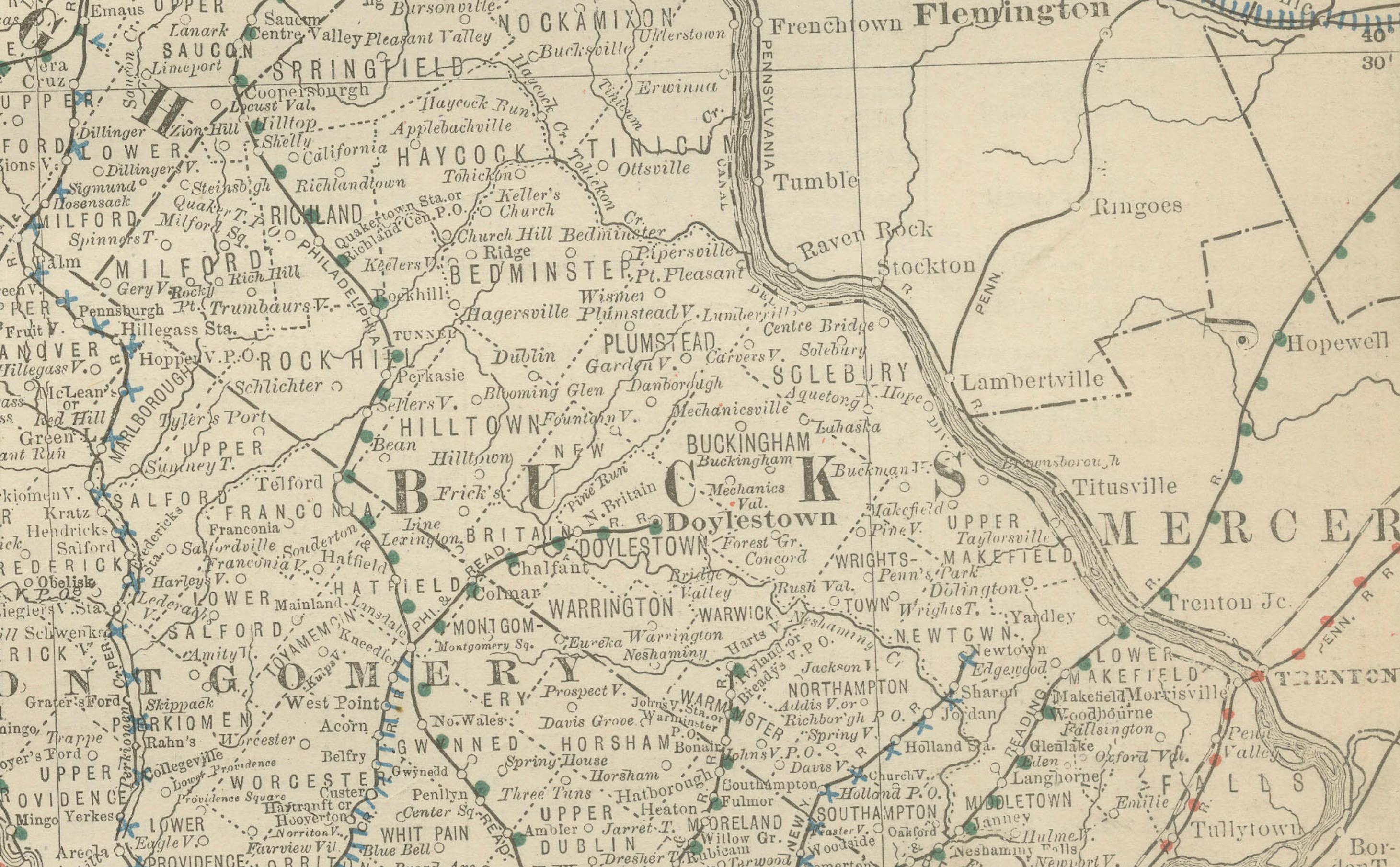
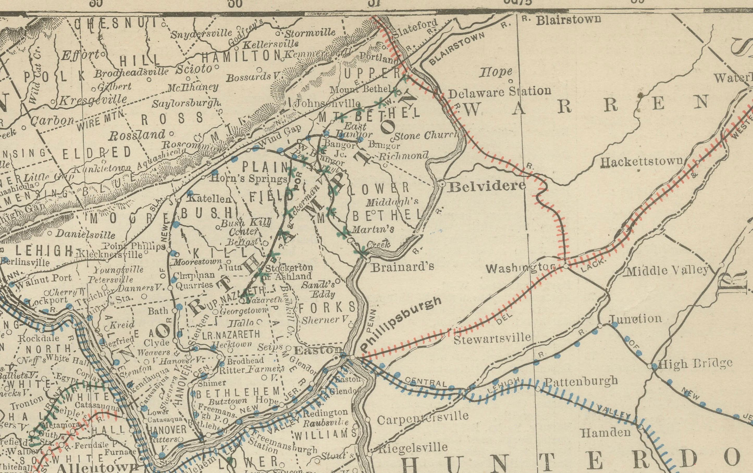
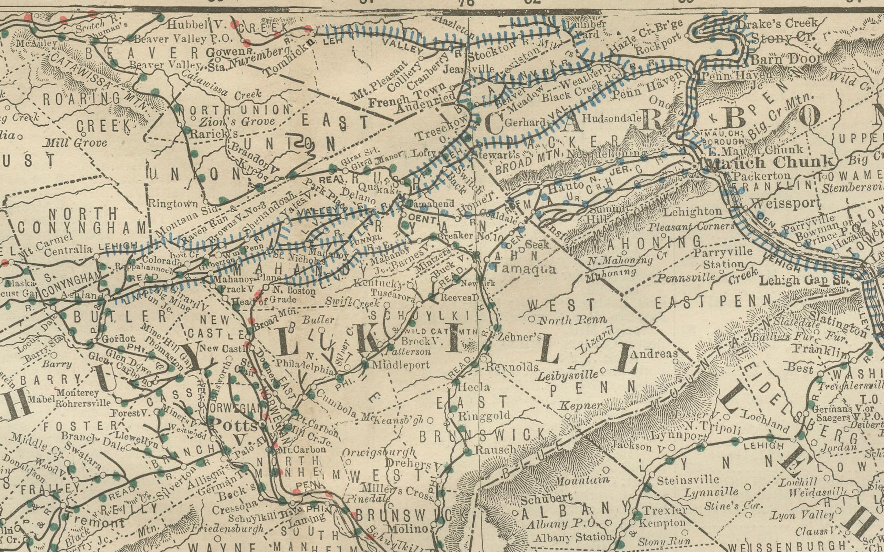
The map highlights major cities such as Philadelphia, Lancaster, Harrisburg, Reading, and York, as well as a dense network of smaller towns and settlements. Philadelphia is shown in detail as a thriving metropolis, with its connections radiating outward via an extensive system of railroads, depicted in red and blue lines. These routes illustrate the city’s role as both a manufacturing powerhouse and a key port on the Atlantic coast.
Counties including Montgomery, Chester, Berks, Lebanon, Dauphin, York, Lancaster, and Bucks are clearly delineated, with rivers and mountain ranges carefully engraved to provide a sense of the region’s geography. This area was pivotal in both colonial and industrial American history, and the map captures it during a period of continued economic expansion.
Rand McNally’s maps are prized for their accuracy and visual clarity, and this example demonstrates the publisher’s skill in balancing geographic precision with practical details such as rail and road networks. For collectors, it offers a rare and decorative representation of Pennsylvania’s southeastern heartland at the close of the 19th century.
Condition report:
Good condition with even age toning and a clean plate mark visible. Original center fold as issued with only slight handling wear. Strong impression with excellent legibility throughout. Minor foxing present but no tears or major flaws.
Framing tips:
This map is ideal for display in a dark wood or black frame with a cream mat. To draw attention to Philadelphia, a double mat with an ivory outer layer and a muted blue or red inner layer will highlight the engraved detail while subtly echoing the railroad coloring.
Technique: Lithograph with original outline color
Maker: Rand, McNally & Co., Chicago, circa 1888