About this sheet
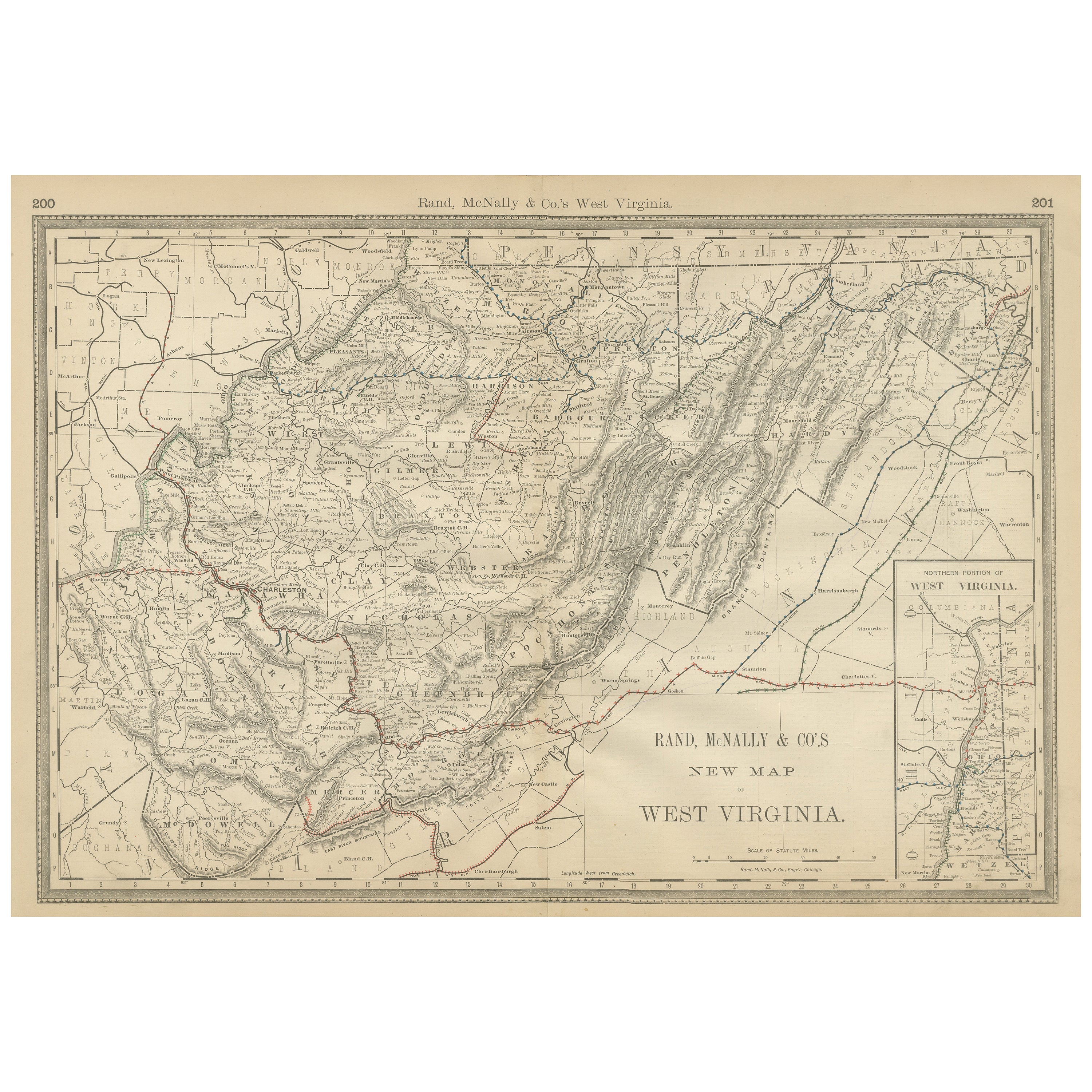
Antique Map of West Virginia – Rand McNally, circa 1888
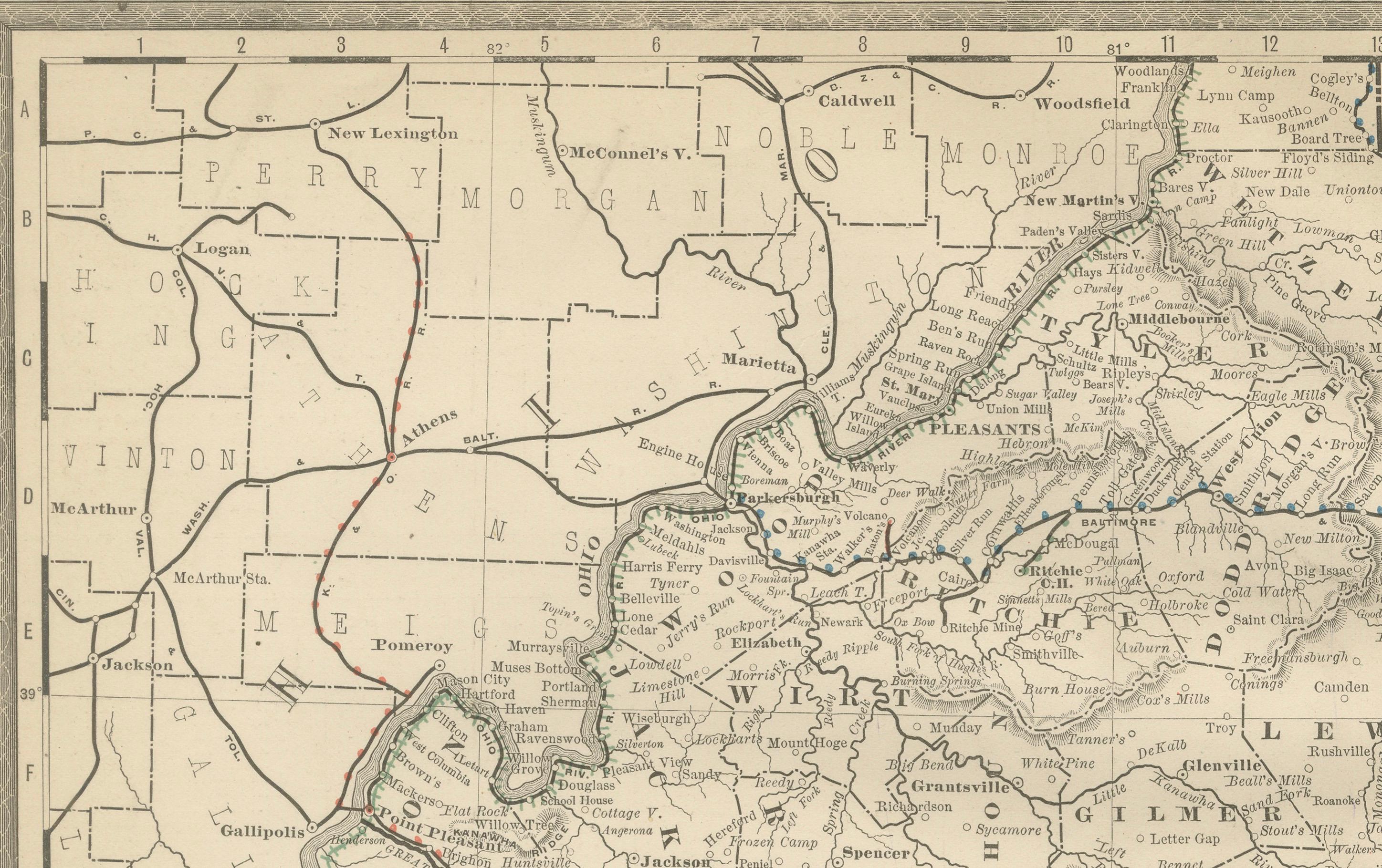
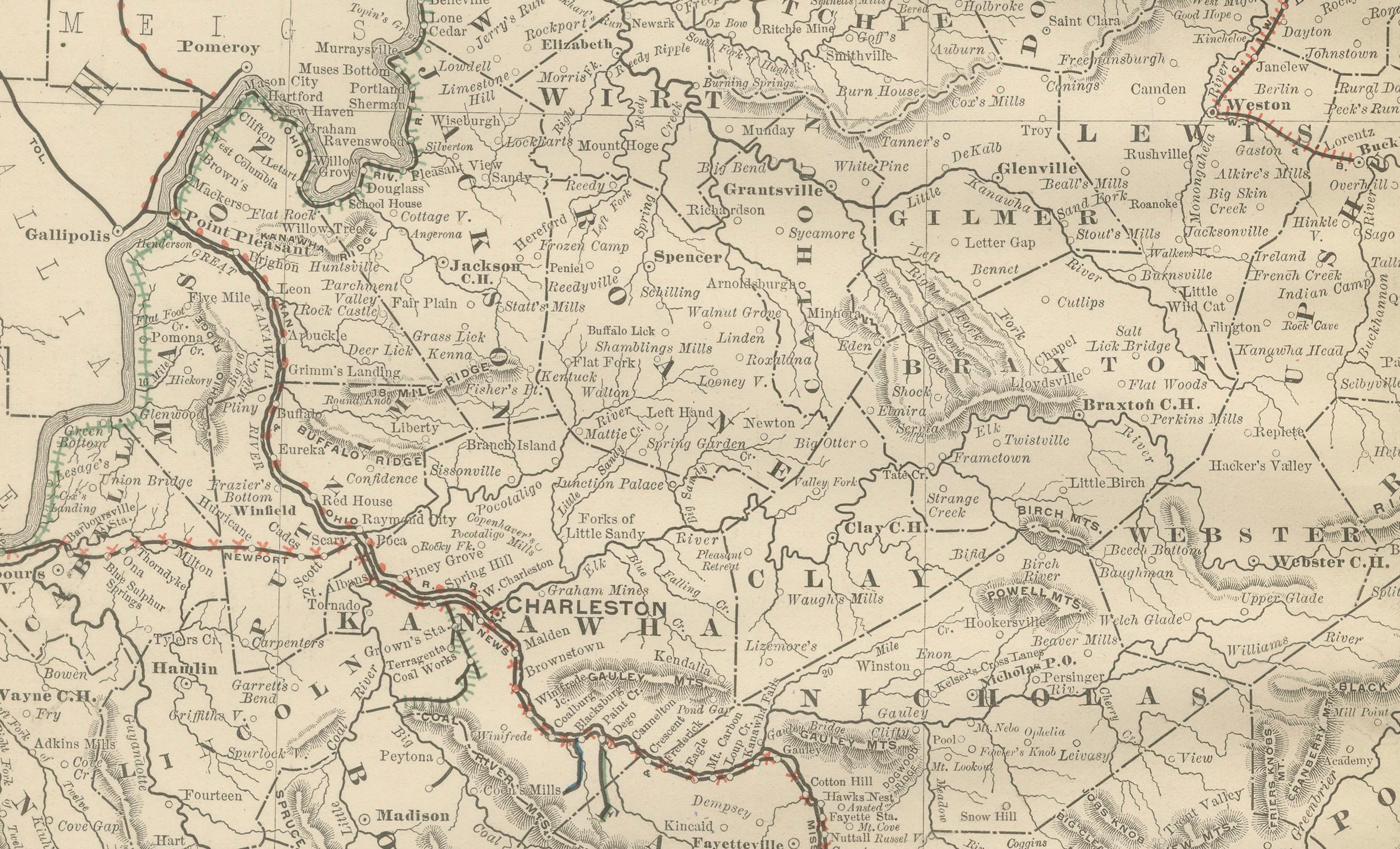
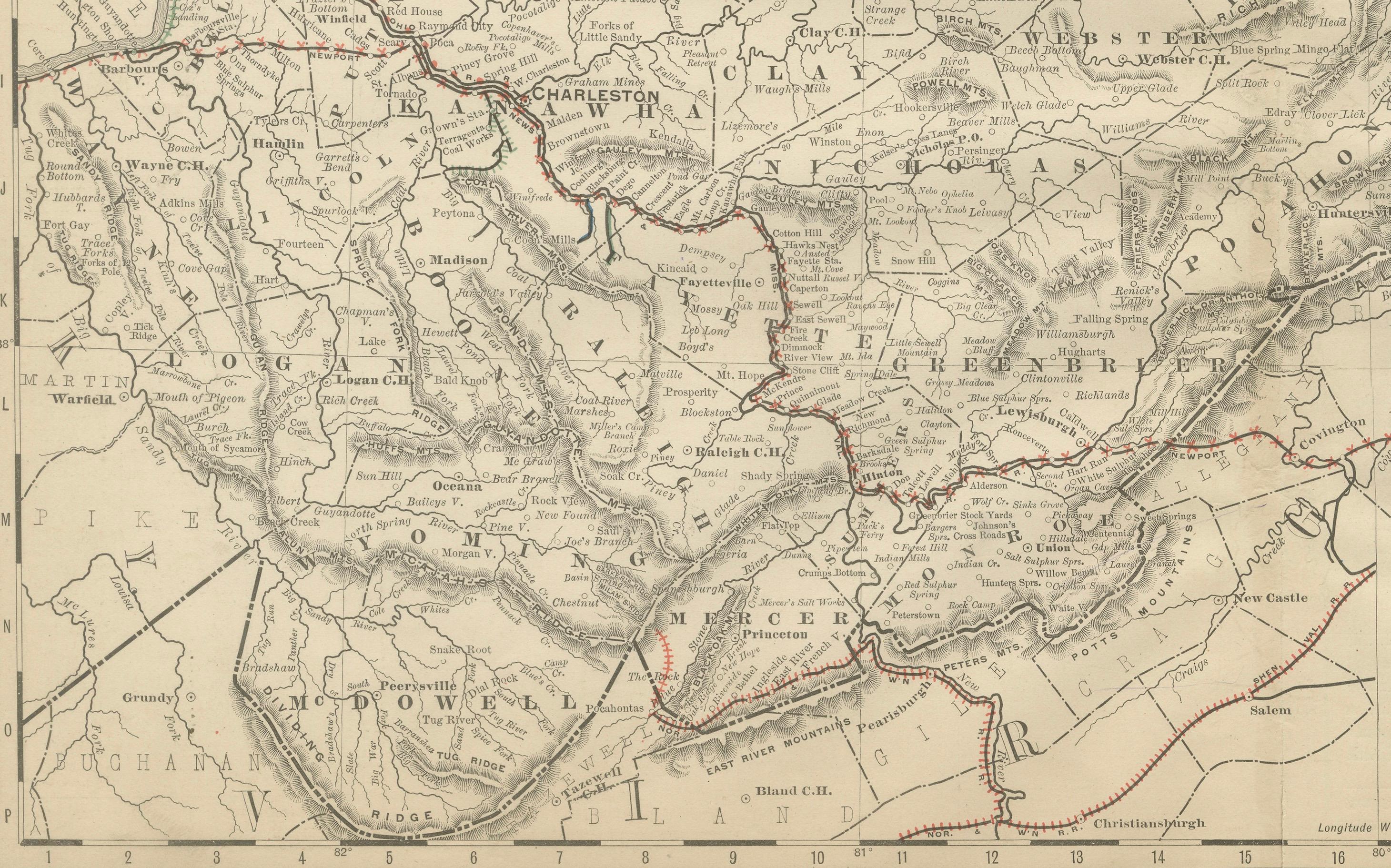
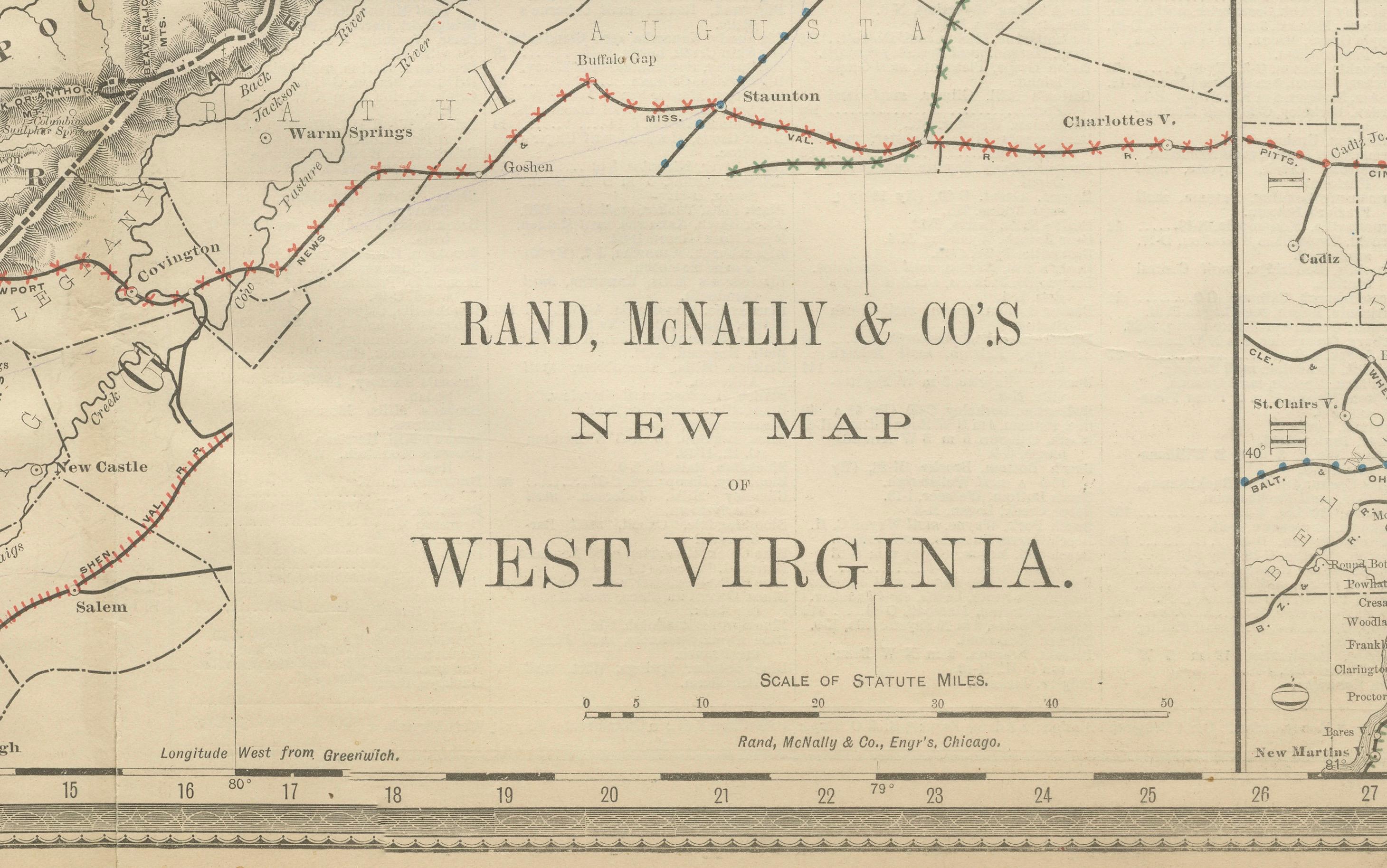
This antique map of West Virginia was published by Rand, McNally & Co. around 1888. It offers a detailed late 19th-century view of the Mountain State, highlighting its rugged topography, county divisions, towns, and expanding railroad network.
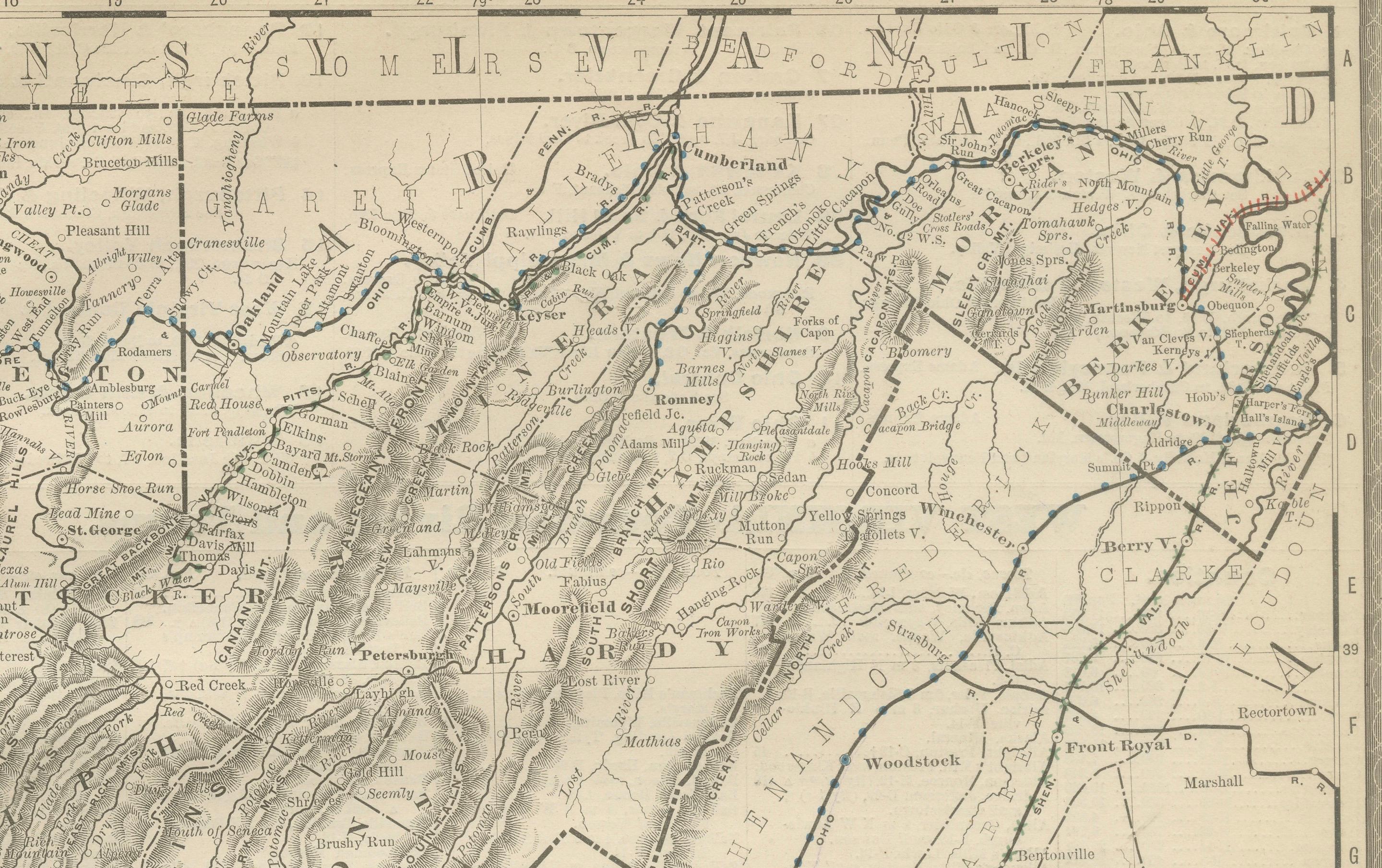
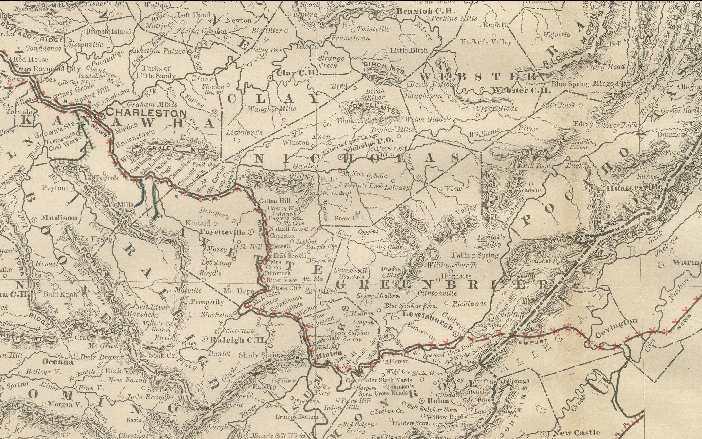
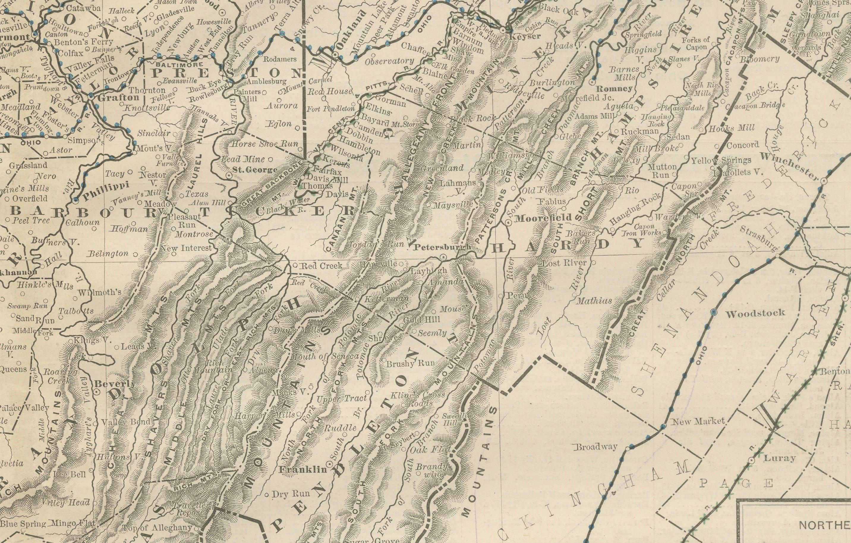
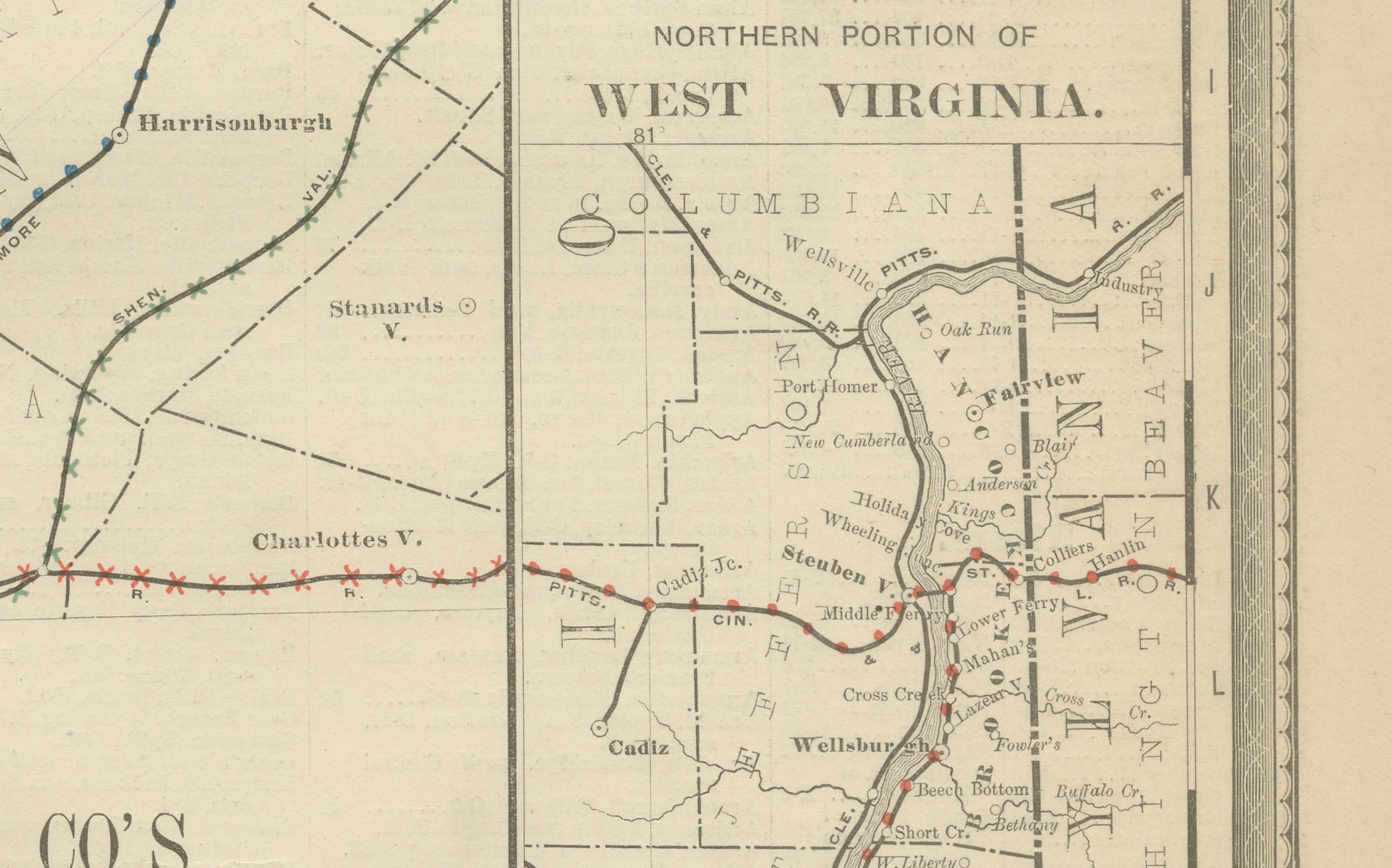
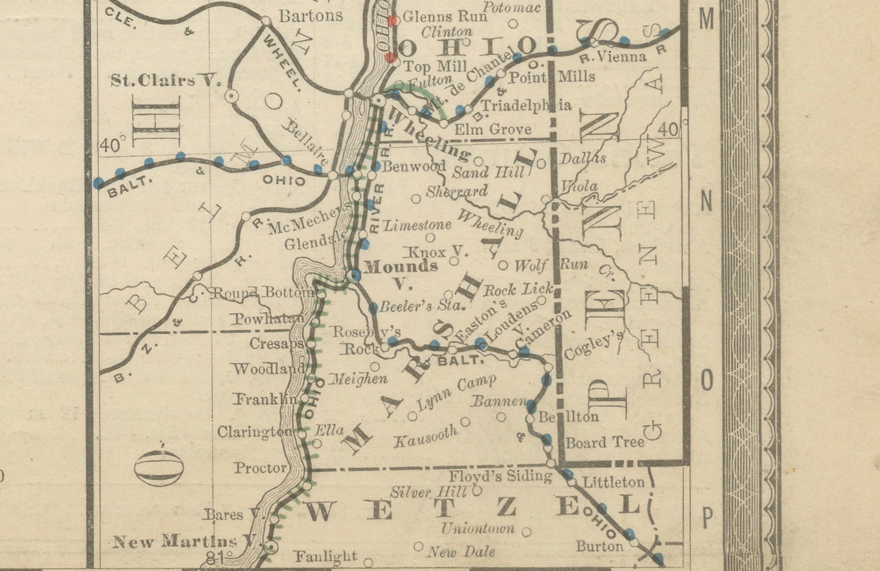
The map clearly depicts the Allegheny Mountains and Appalachian ridges running across the eastern part of the state, engraved with striking clarity. Major towns and cities are shown, including Charleston, Wheeling, Parkersburg, Huntington, and Martinsburg, alongside countless smaller settlements. An inset at lower right provides additional detail of the northern panhandle region along the Ohio River, an area of growing industrial importance in the late 1800s.
Railroads, shown in red and blue, form the backbone of the map, weaving through valleys and linking mining areas to trade routes. The network reflects West Virginia’s crucial role as a coal-producing state during the industrial boom of the Gilded Age. Rivers such as the Ohio, Kanawha, and Monongahela are also carefully drawn, emphasizing the state’s natural transport corridors.
This map illustrates West Virginia in a pivotal period of its history, capturing both its distinctive geography and the economic forces that were reshaping it. Collectors of Appalachian history, American railroads, or state maps will find this a particularly appealing piece.
Condition report:
Good condition with mild age toning and light fold wear along the issued center crease. Clean margins with only minor handling marks. Plate mark visible. Strong impression with crisp engraved detail.
Framing tips:
A dark walnut or black frame with an ivory mat would highlight the engraved mountain ranges and rivers. A double mat with cream outer and muted green inner will emphasize the rugged Appalachian terrain and add depth to the presentation.
Technique: Lithograph with original outline color
Maker: Rand, McNally & Co., Chicago, circa 1888