Antique Map of the Route of the Hebrews – Egypt to the Red Sea, 1720
€ 460
Original antique · The actual sheet photographed · Certificate of authenticity on request · Sold unframed · Worldwide shipping from € 15 (rates)
Date
1720
Mapmaker / artist
Father Claude Sicard (source), engraved by A. Porlier, French school, c.1760
Technique
Copperplate engraving
Sheet size
20 × 29.8 cm (7.9 × 11.7 in)
Reference
BG-14078-29
What the condition grades mean
Excellent
Bright and clean, with no faults worth mentioning.
Very good
Only light signs of age, such as faint toning.
Good
Normal signs of age for a sheet of this period: toning, some foxing, small marks or neat old repairs.
Fair
Clear faults such as staining, tears or repairs, priced to match.
Every fault we see is written in the condition note, and the whole sheet is shown uncropped in the photos.
Condition
Very good for age, with central folds as issued. Slight toning and minor foxing, mostly in margins. Strong plate impression with excellent preservation of engraved detail.
About this sheet
Map of the Route of the Hebrews – Egypt to the Red Sea, 1720
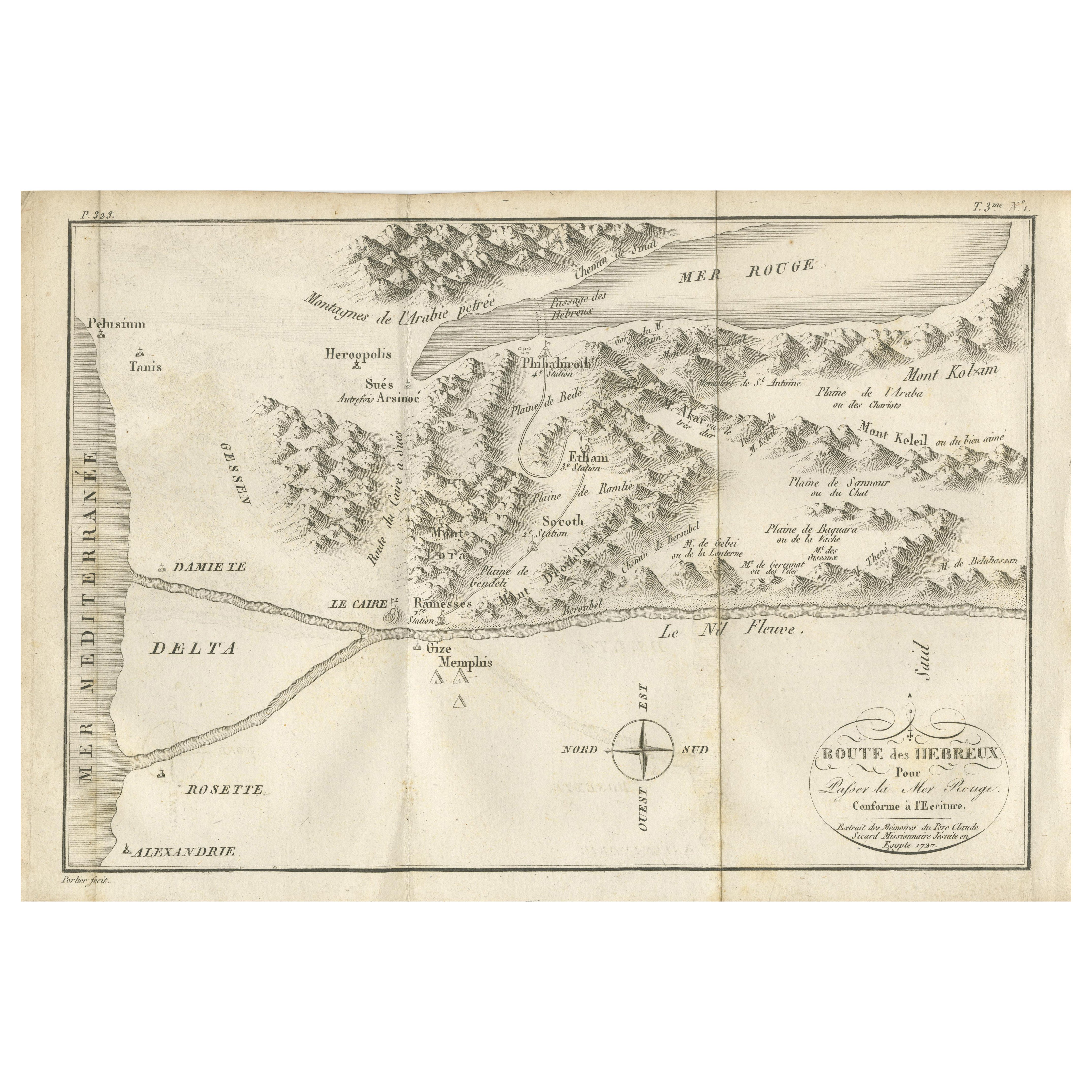
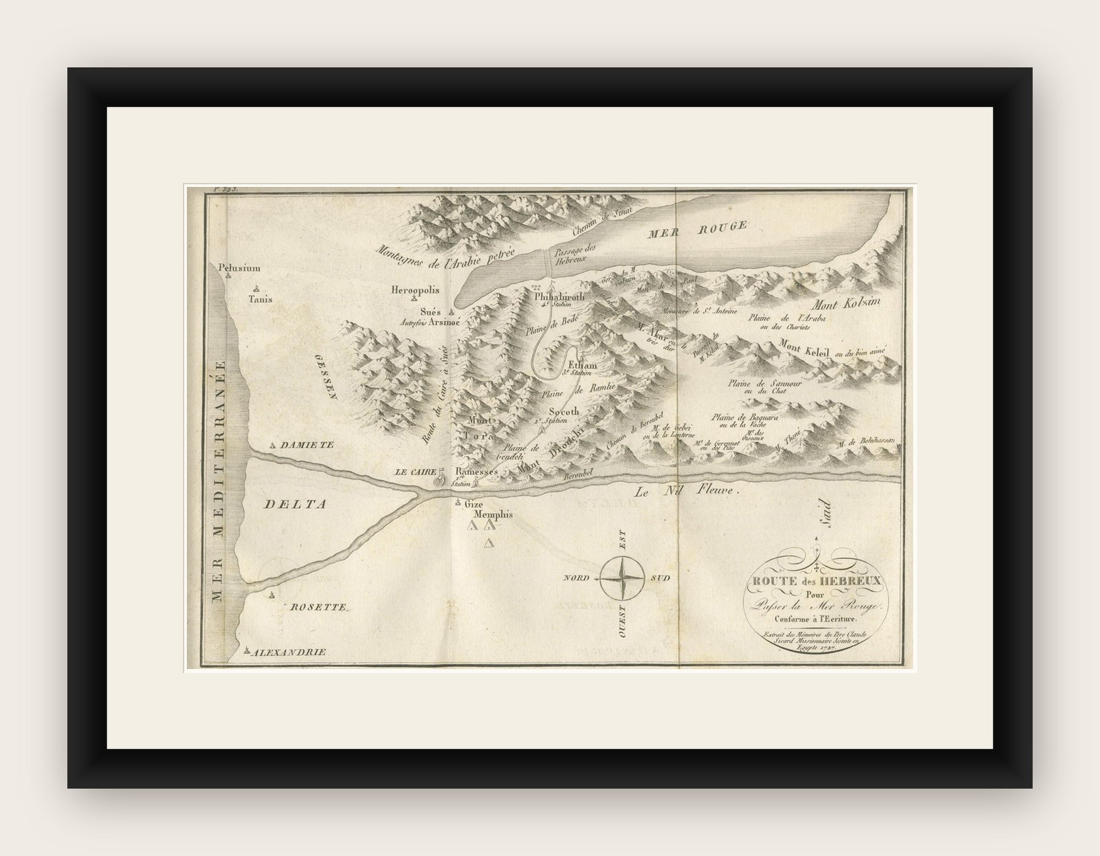
This finely engraved 18th-century map, titled Route des Hébreux pour passer la Mer Rouge, conforme à l’Écriture, traces the biblical journey of the Israelites from Egypt to the Red Sea, as recounted in the Book of Exodus. Drawn “Extrait des Mémoires du Père Claude Sicard, Missionnaire Apostolique en Égypte, 1720,” it reflects the research of Father Claude Sicard, a Jesuit missionary and one of the earliest modern scholars to explore and document biblical geography in Egypt.
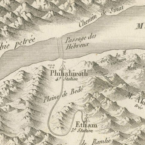
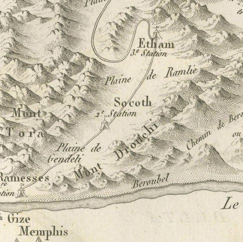
The map extends from the Mediterranean coast (Alexandria, Rosetta, Damiette) to the Red Sea (Mer Rouge), with the Nile Delta prominently shown. Cities and ancient sites are labeled, including Memphis, Pelusium, Tanis, and Ramses, alongside biblical waypoints such as Succoth, Etham, and Pi-Hahiroth. Mountain ranges are depicted pictorially, with named peaks including Mont Kolzim, Mont Keleli, and Mont de Bekharsan. Plains, valleys, and routes are marked, such as the Plaine de Beid and Route de l’Arabie Pétrée.
The Passage des Hébreux is clearly indicated along the Red Sea’s western shore, aligning with contemporary 18th-century interpretations of the Exodus crossing site. The engraving also includes a decorative title cartouche in the lower right and a simple compass rose orienting the map north-south.
Marked “Tome 3, N° 4” and engraved by Porlier (Porlier Sculp.), this plate was part of a major Enlightenment-era historical and geographical series. It illustrates both the scholarly and religious interest in reconciling scripture with empirical observation, a hallmark of early modern biblical cartography.
Framing tips: A dark wood or black frame with an off-white or cream mount will emphasize the antique character of the map. For thematic display, it pairs beautifully with other 18th-century biblical or Middle Eastern maps.