About this sheet
Antique Map of Maryland, Delaware & Washington D.C. – Rand McNally, circa 1888
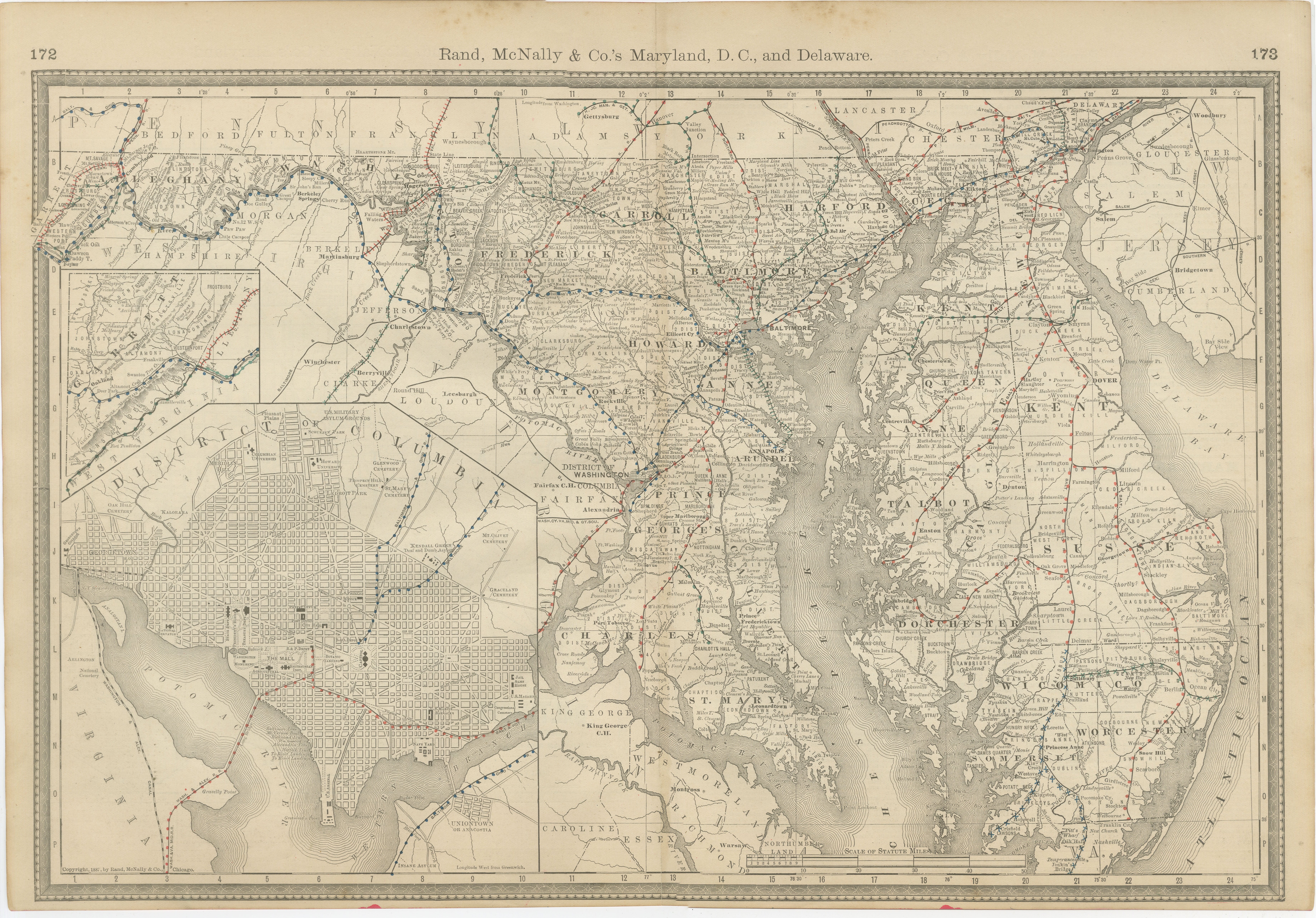
This antique map of Maryland, Delaware, and Washington, D.C., was published by Rand, McNally & Co. around 1888. Taken from one of their authoritative late 19th-century atlases, it provides a detailed record of the Mid-Atlantic region at a time of industrial expansion and political significance.
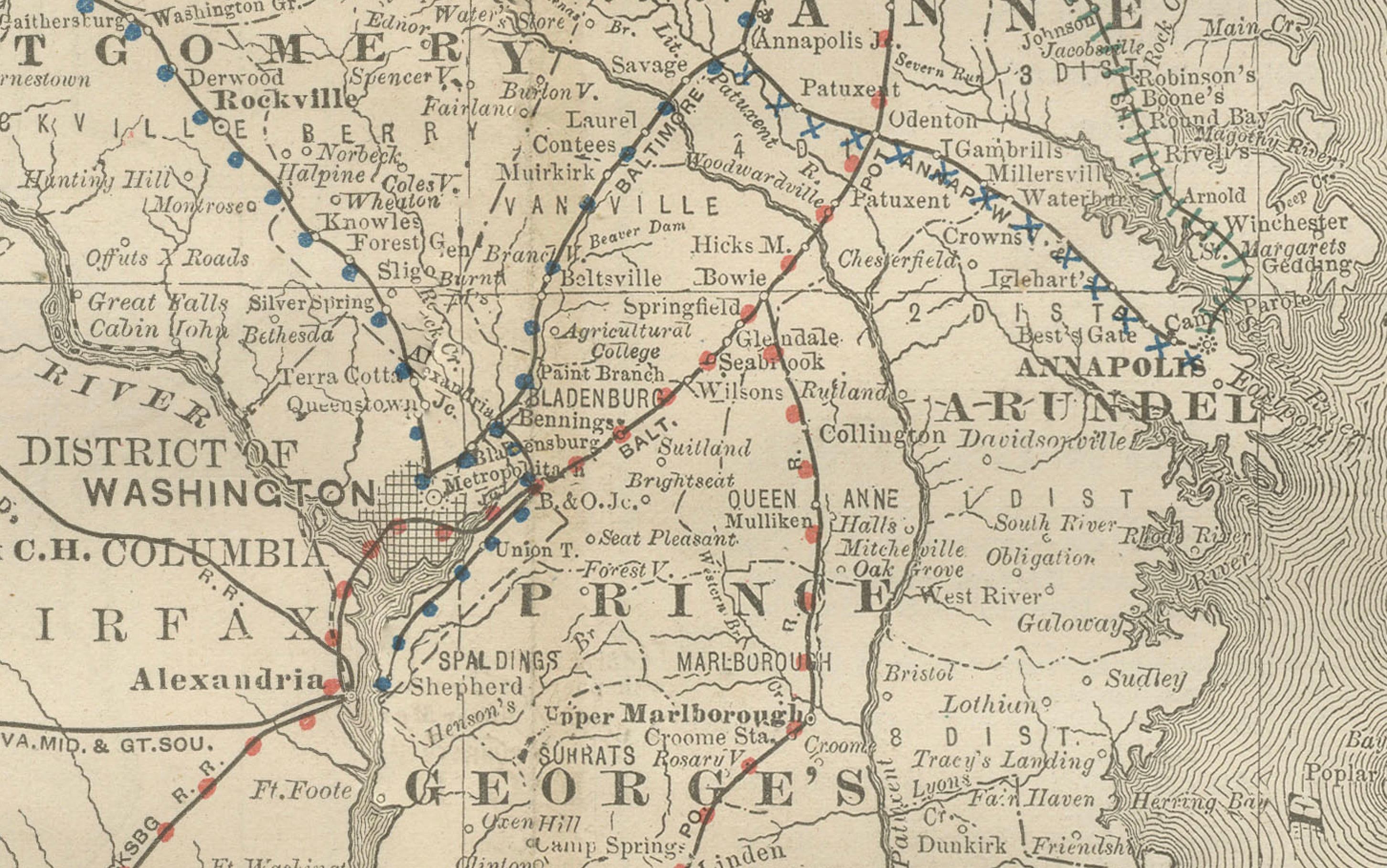
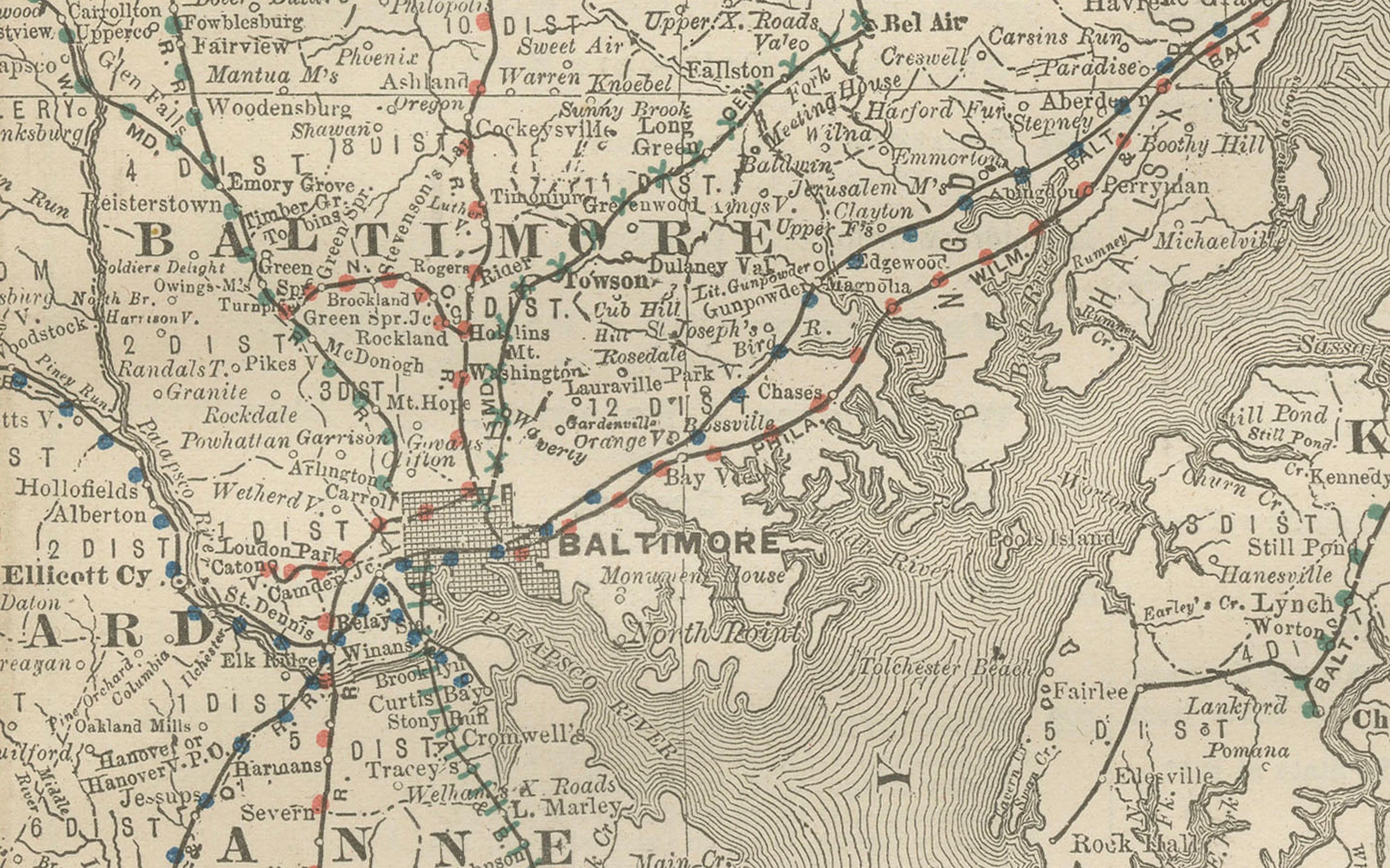
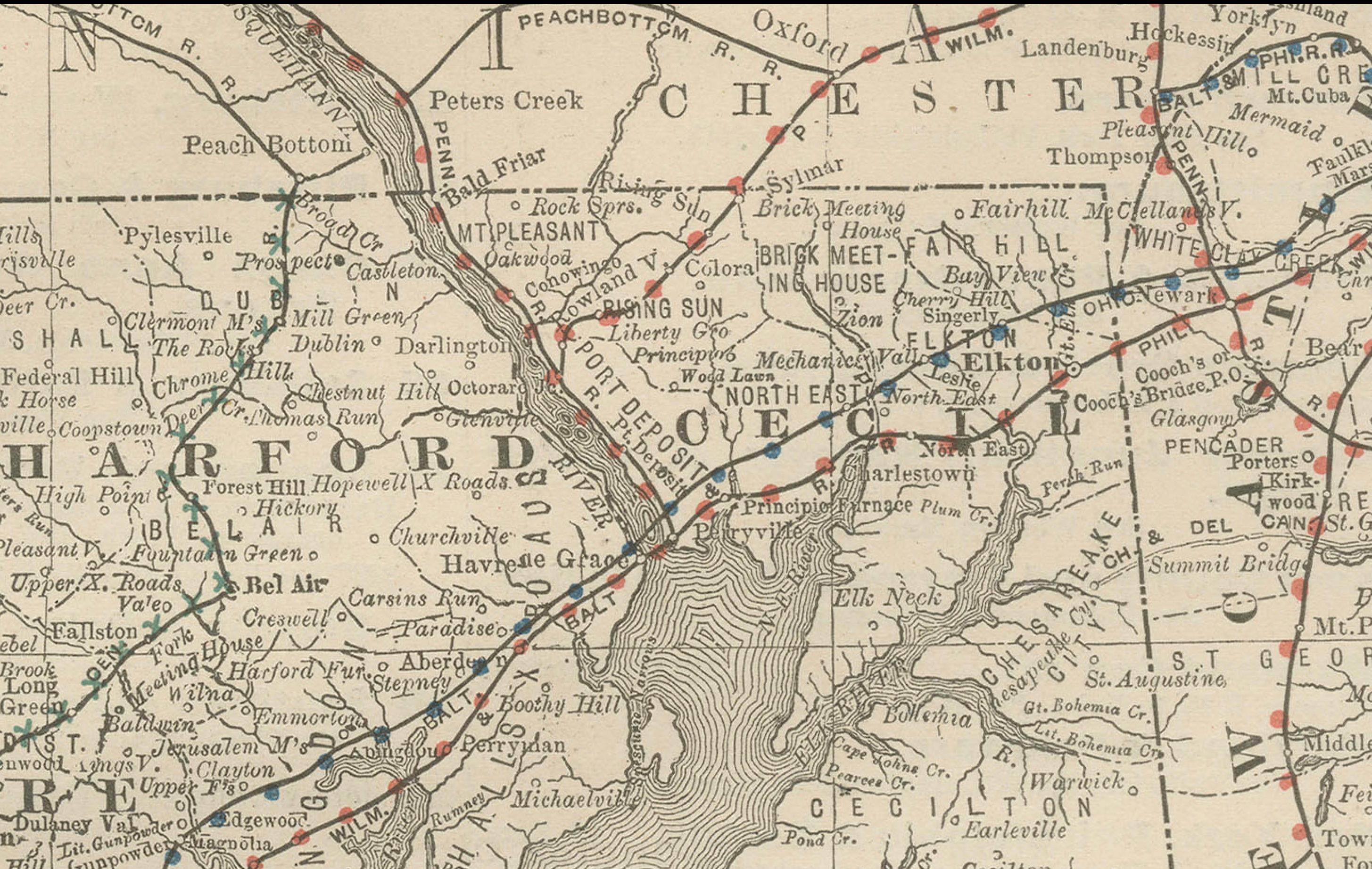
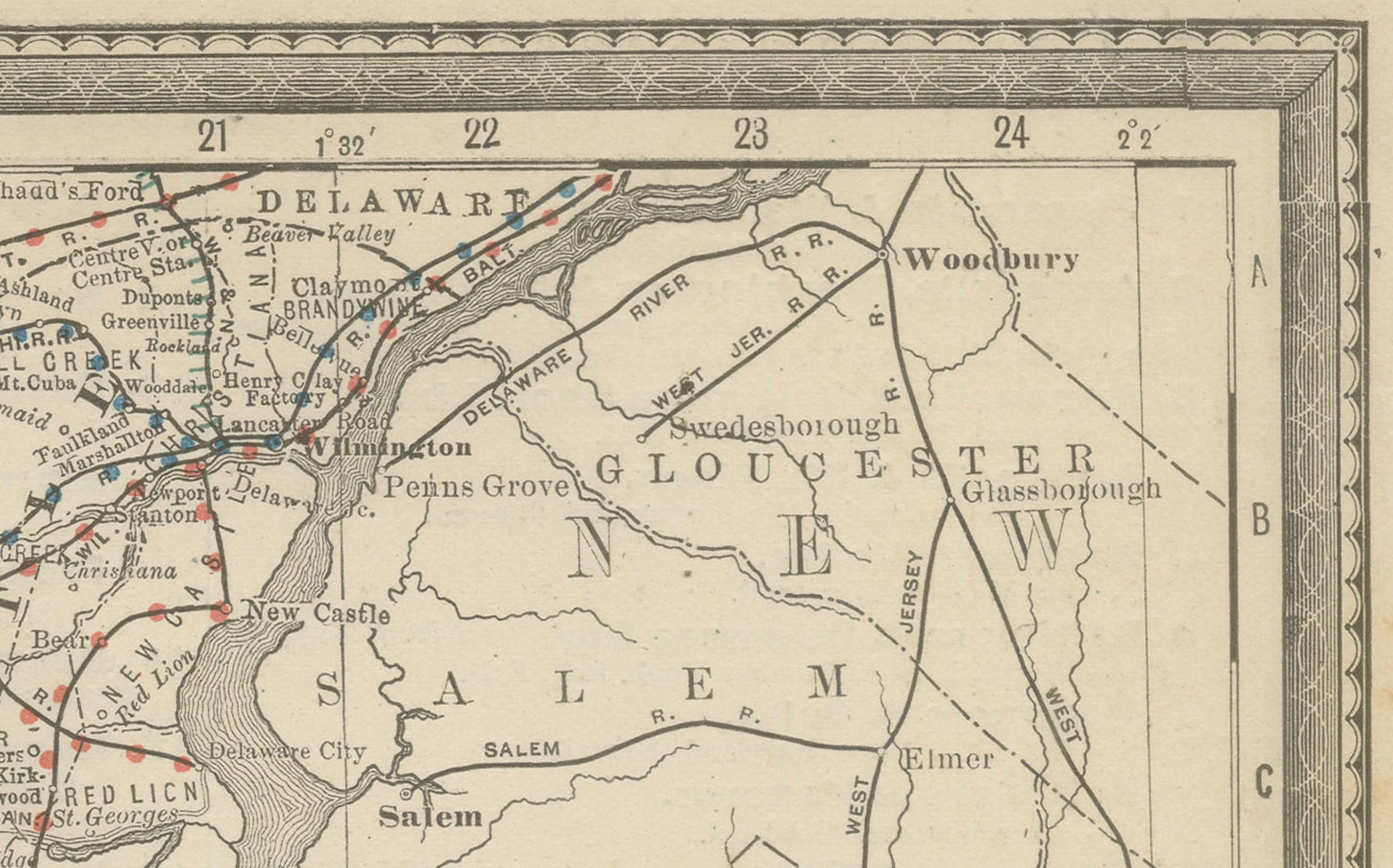
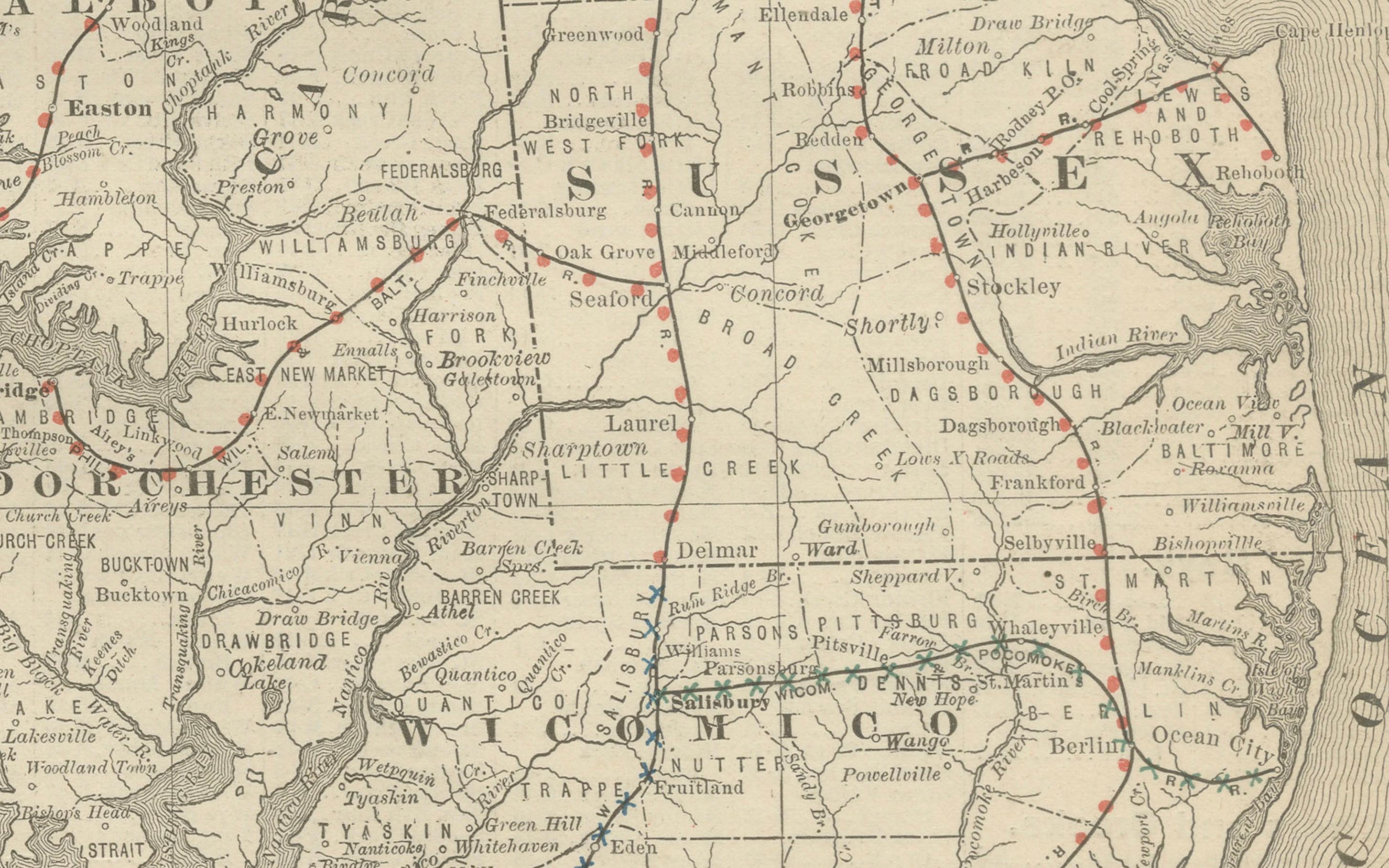
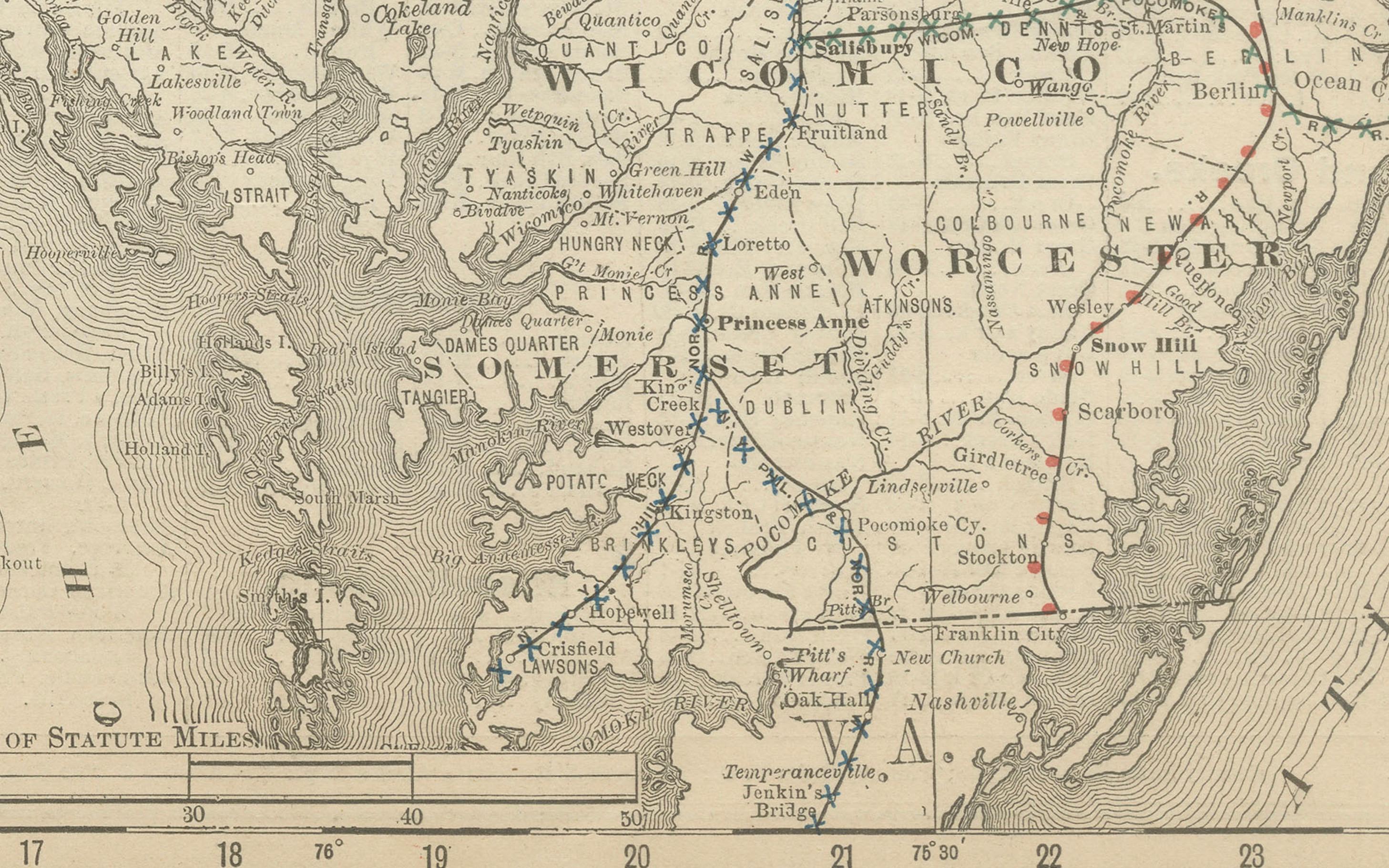
The map covers the entirety of Maryland and Delaware, highlighting counties, towns, rivers, and transport routes with fine engraving. Baltimore, Annapolis, and Wilmington are clearly marked as major centers, while smaller towns and rural areas are equally well represented.
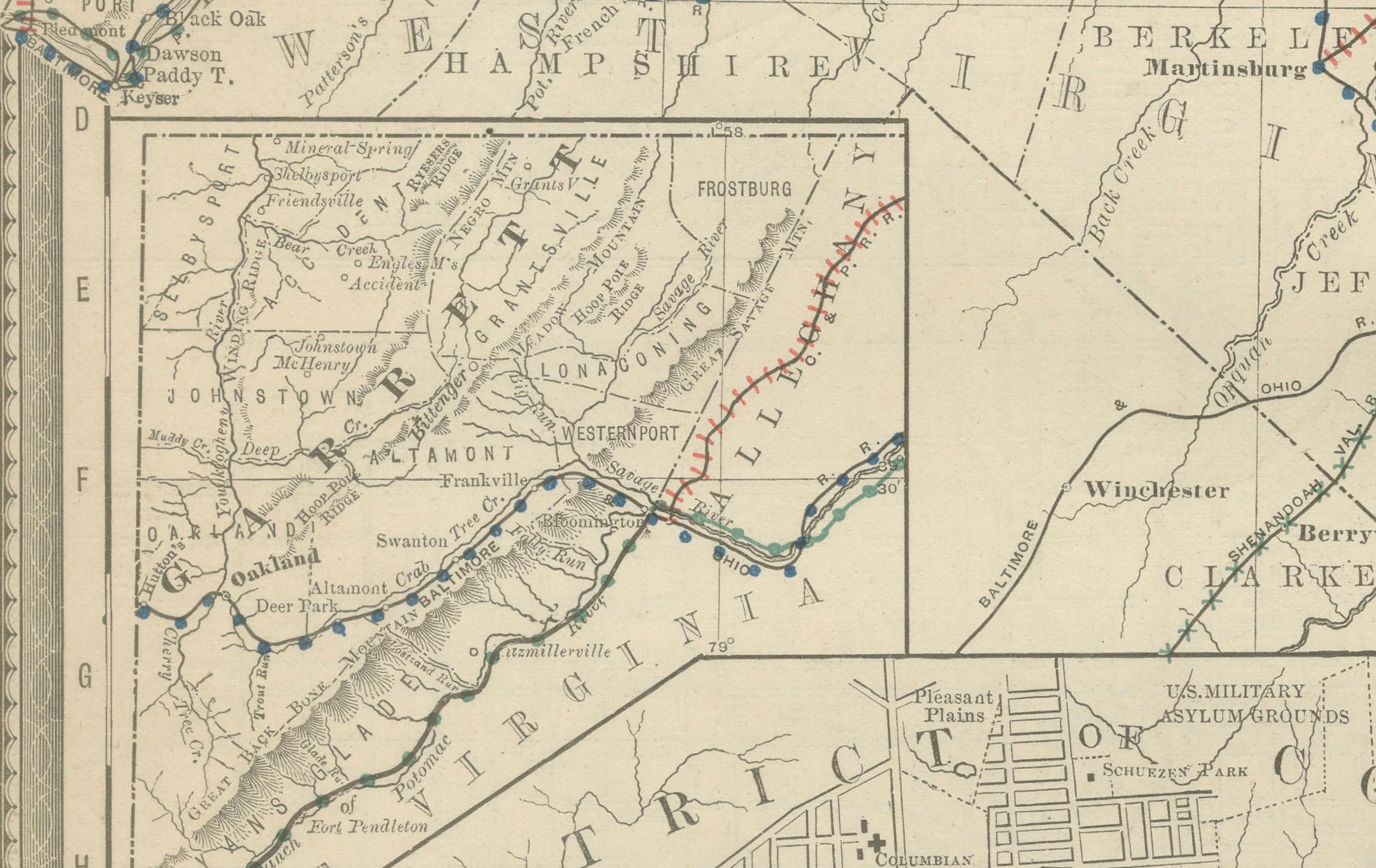
Railroads are depicted in red and blue, forming an intricate network connecting Baltimore and Washington with neighboring Pennsylvania, Virginia, and New Jersey. Chesapeake Bay dominates the map, engraved with careful linework that emphasizes its importance as a natural harbor and shipping corridor.
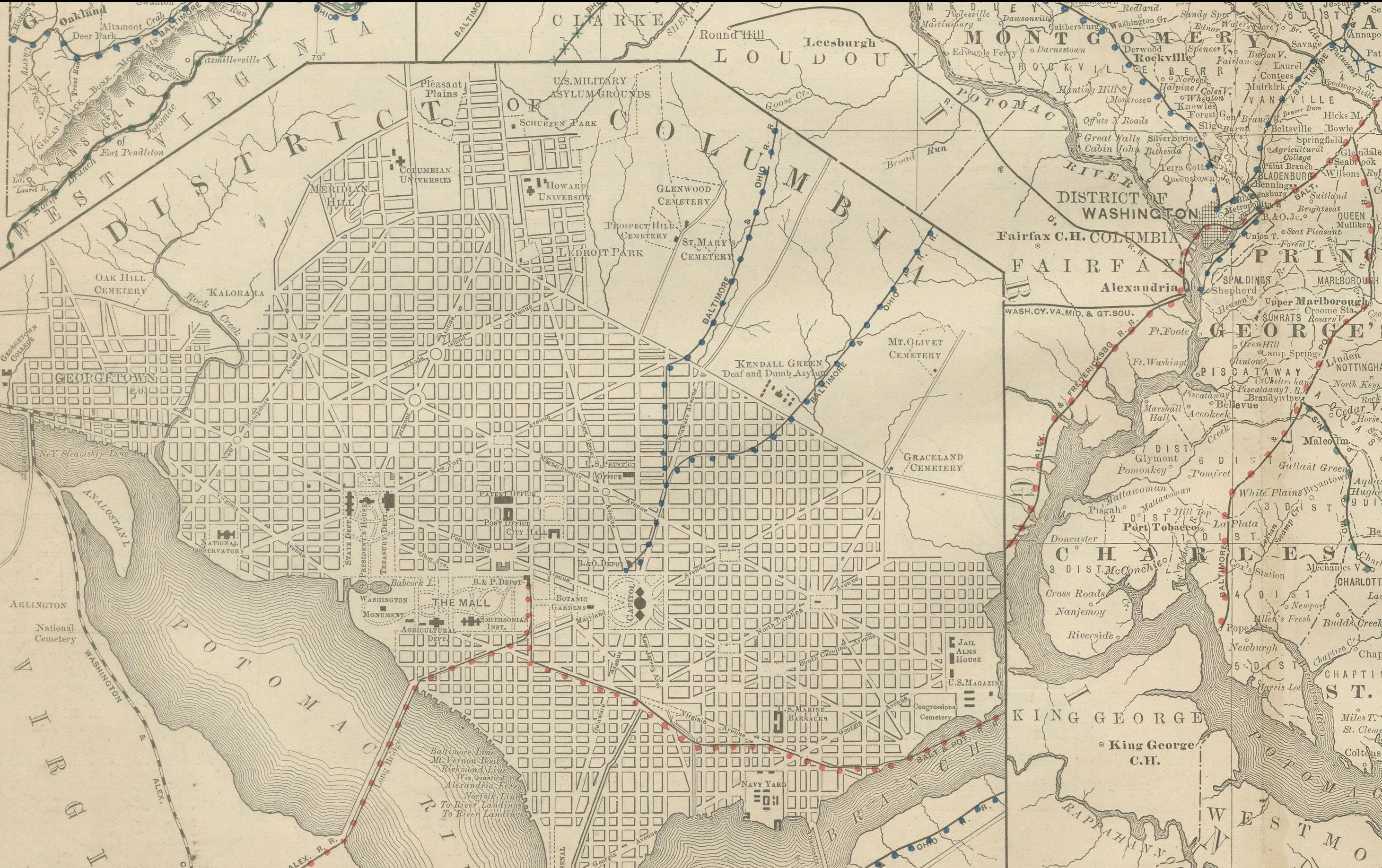
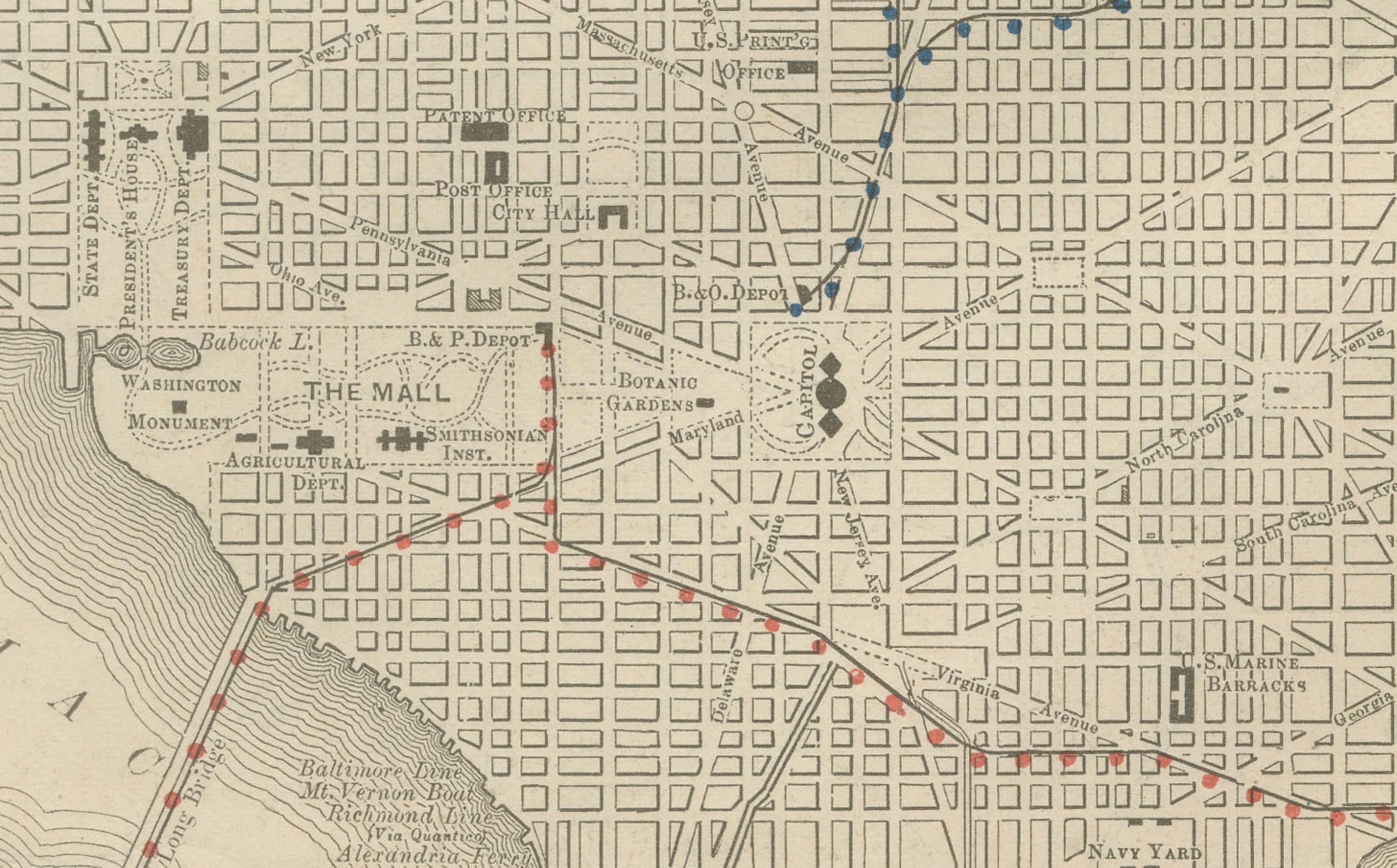
A particularly attractive feature is the large inset of Washington, D.C., showing a fully detailed street grid, parks, and government buildings, providing a precise portrait of the nation’s capital during the late 19th century. This inset makes the map not only historically significant but also visually compelling.
Collectors will appreciate this as a fine example of Rand McNally’s cartography, combining geographical clarity with decorative appeal and political interest.
Condition report:
Very good condition with light age toning. Original center fold as issued with slight darkening along the crease. Plate mark visible. Margins clean with only minor handling wear. Strong impression with excellent detail.
Framing tips:
A black or dark walnut frame with a cream or ivory mat will highlight the engraving. A double mat—ivory outer and muted blue inner—will emphasize the Chesapeake Bay and D.C. inset, drawing attention to the map’s most distinctive features.
Technique: Lithograph with original outline color
Maker: Rand, McNally & Co., Chicago, circa 1888