About this sheet
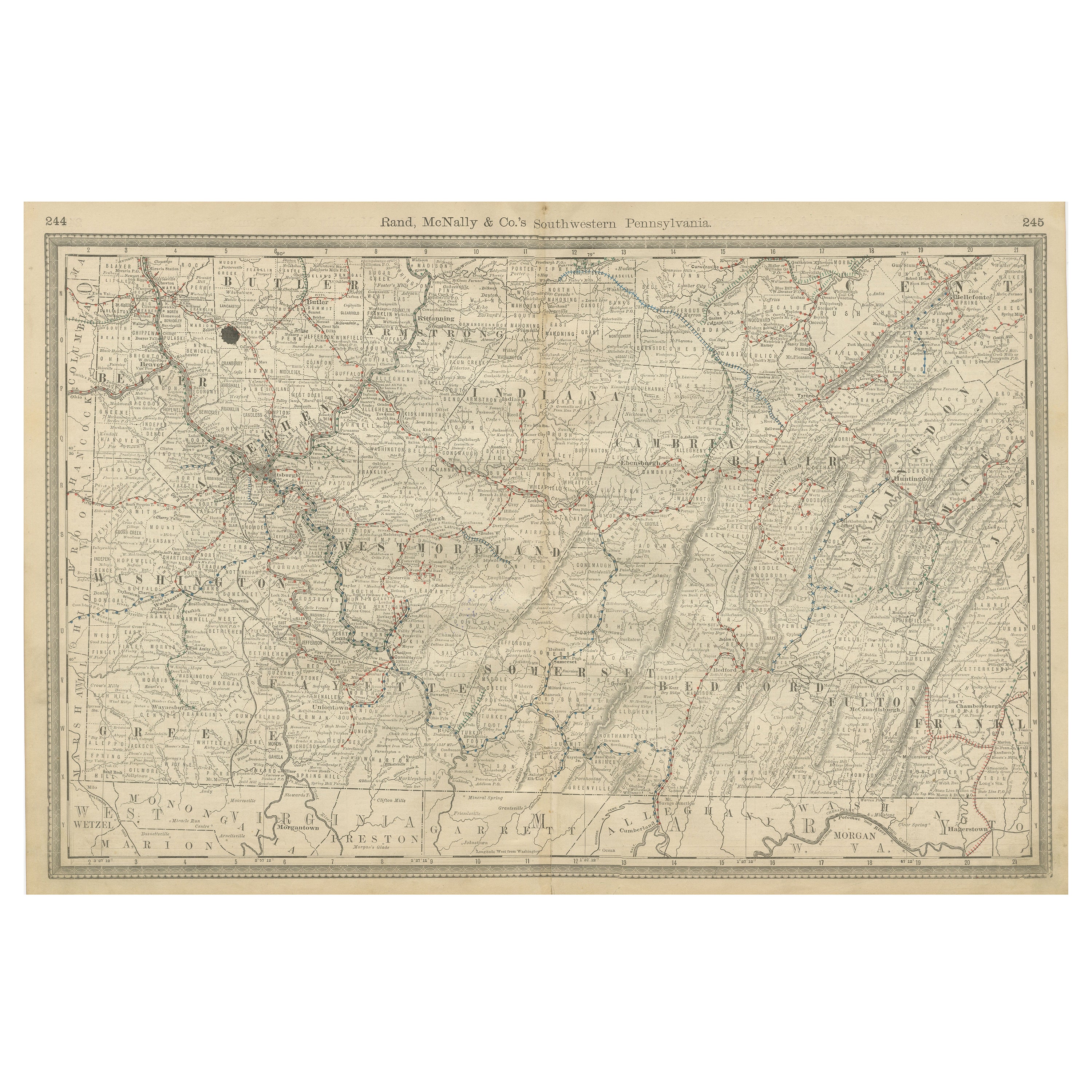
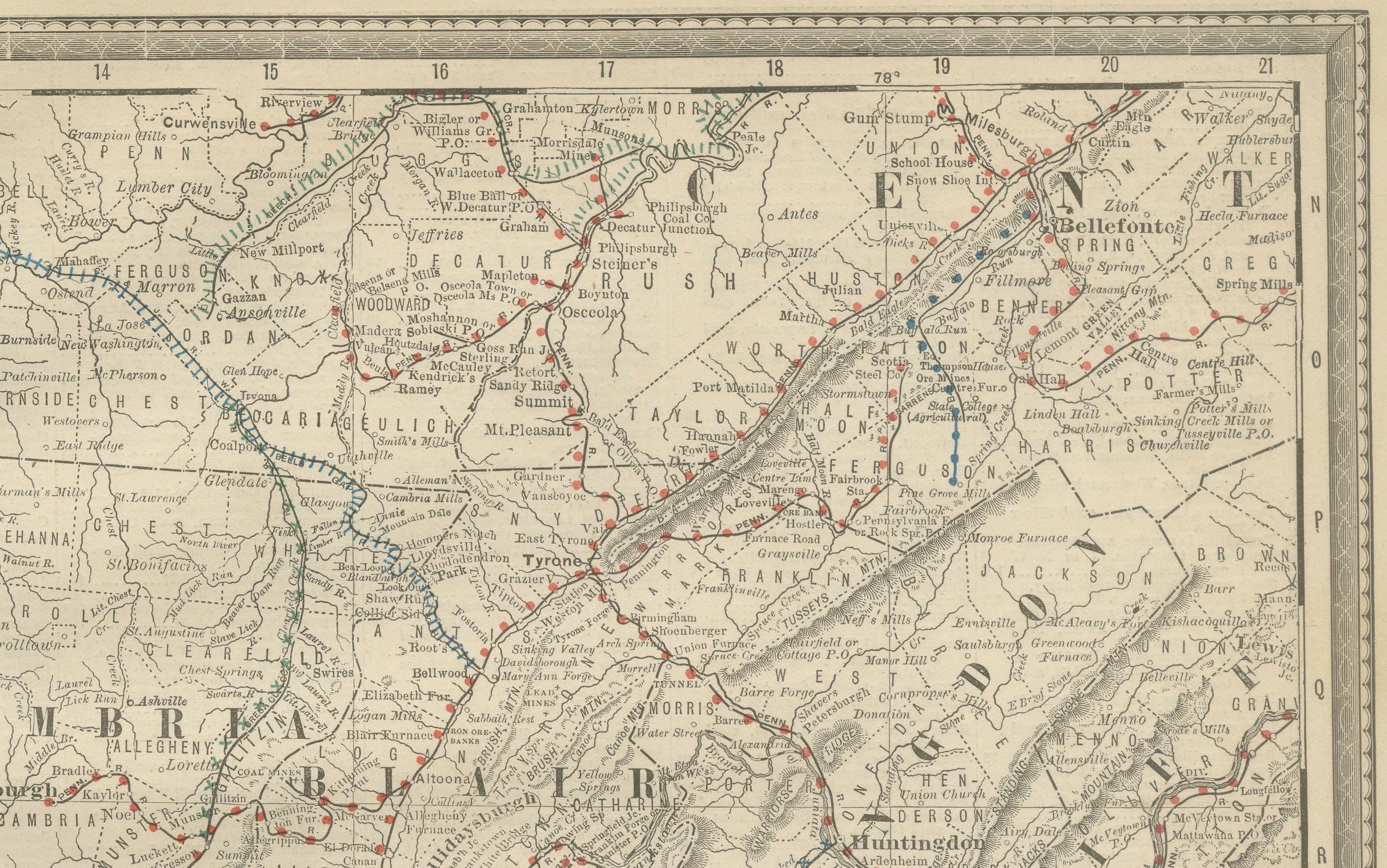
Antique Map of Southwestern Pennsylvania – Rand McNally, circa 1888
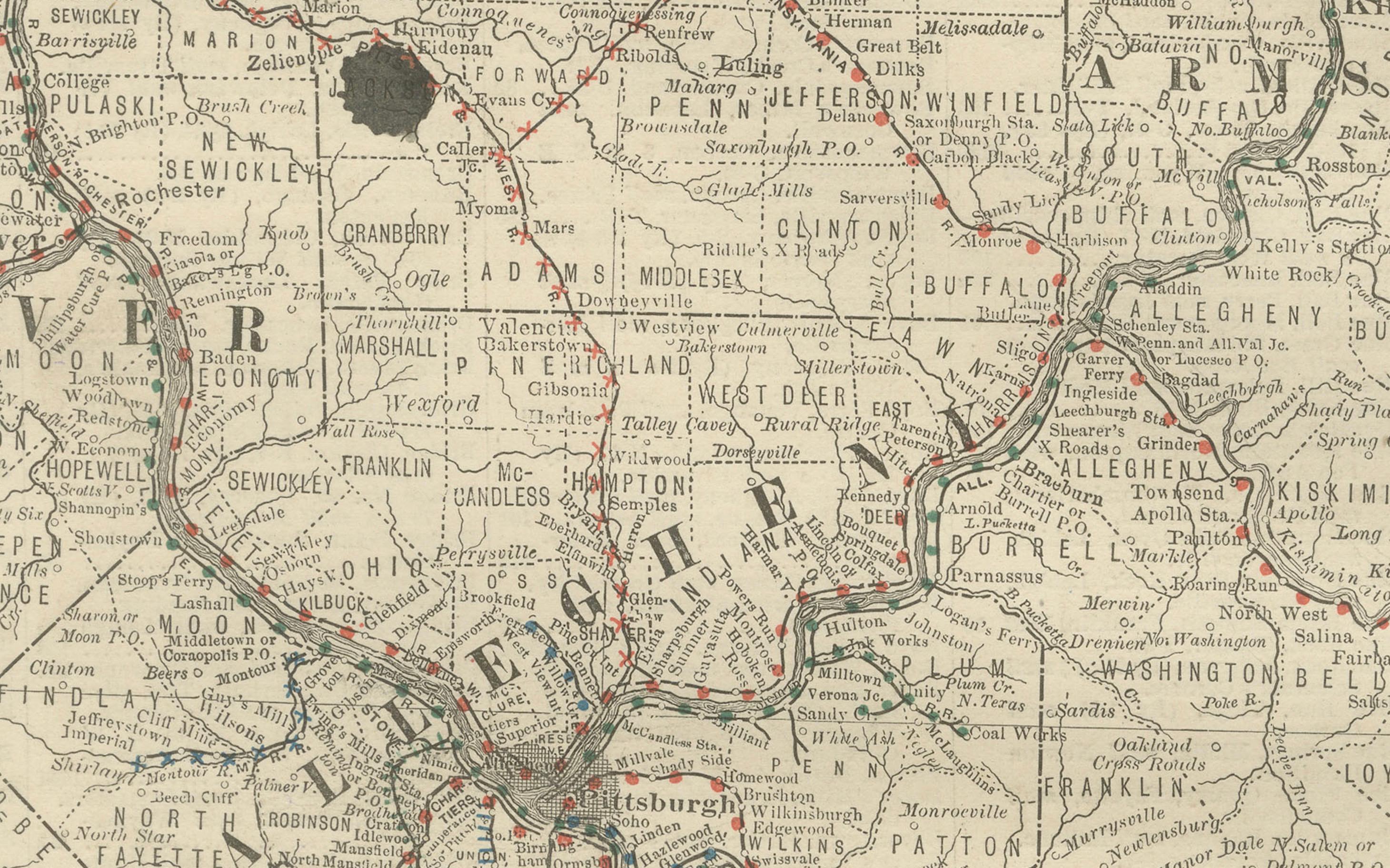
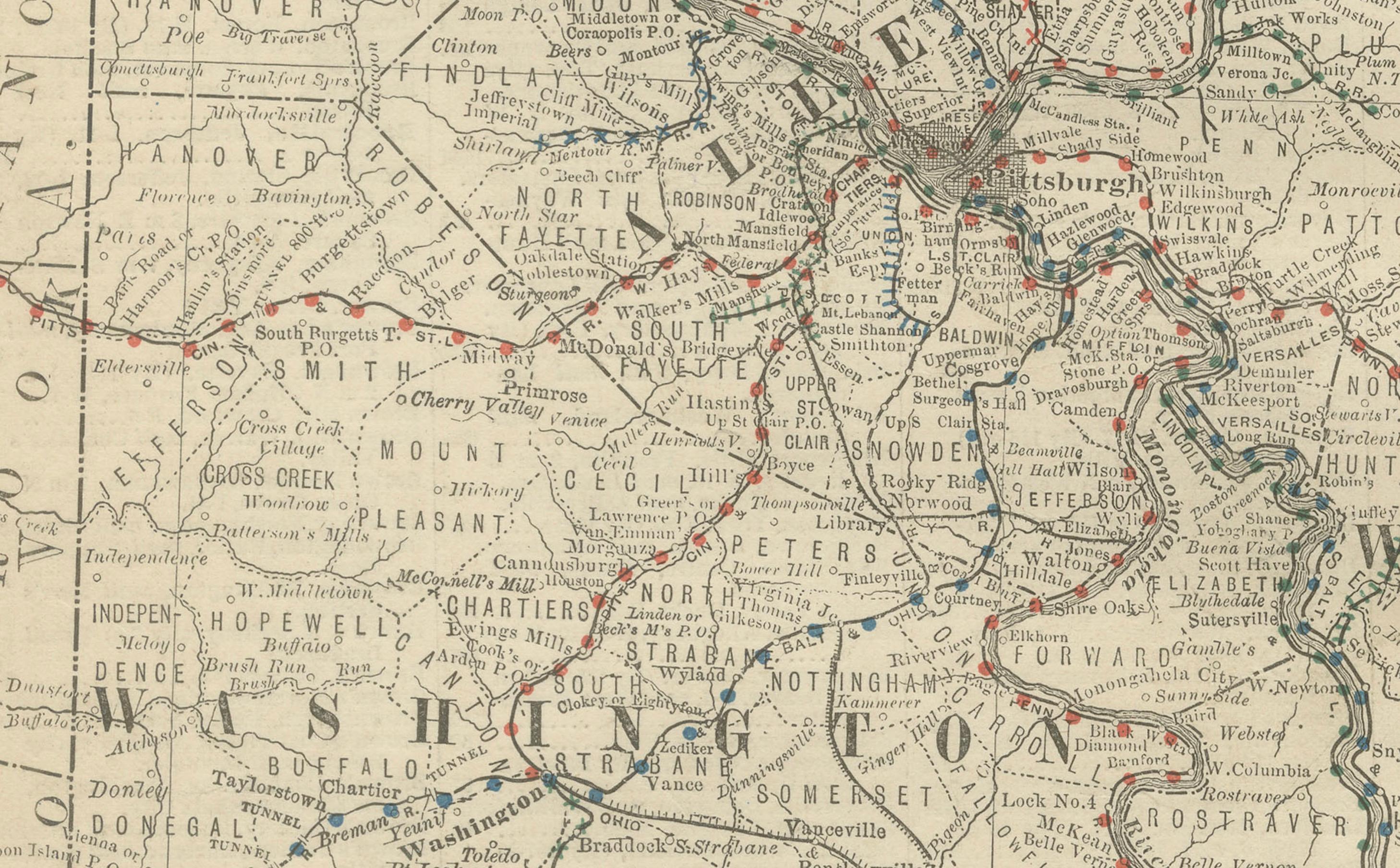
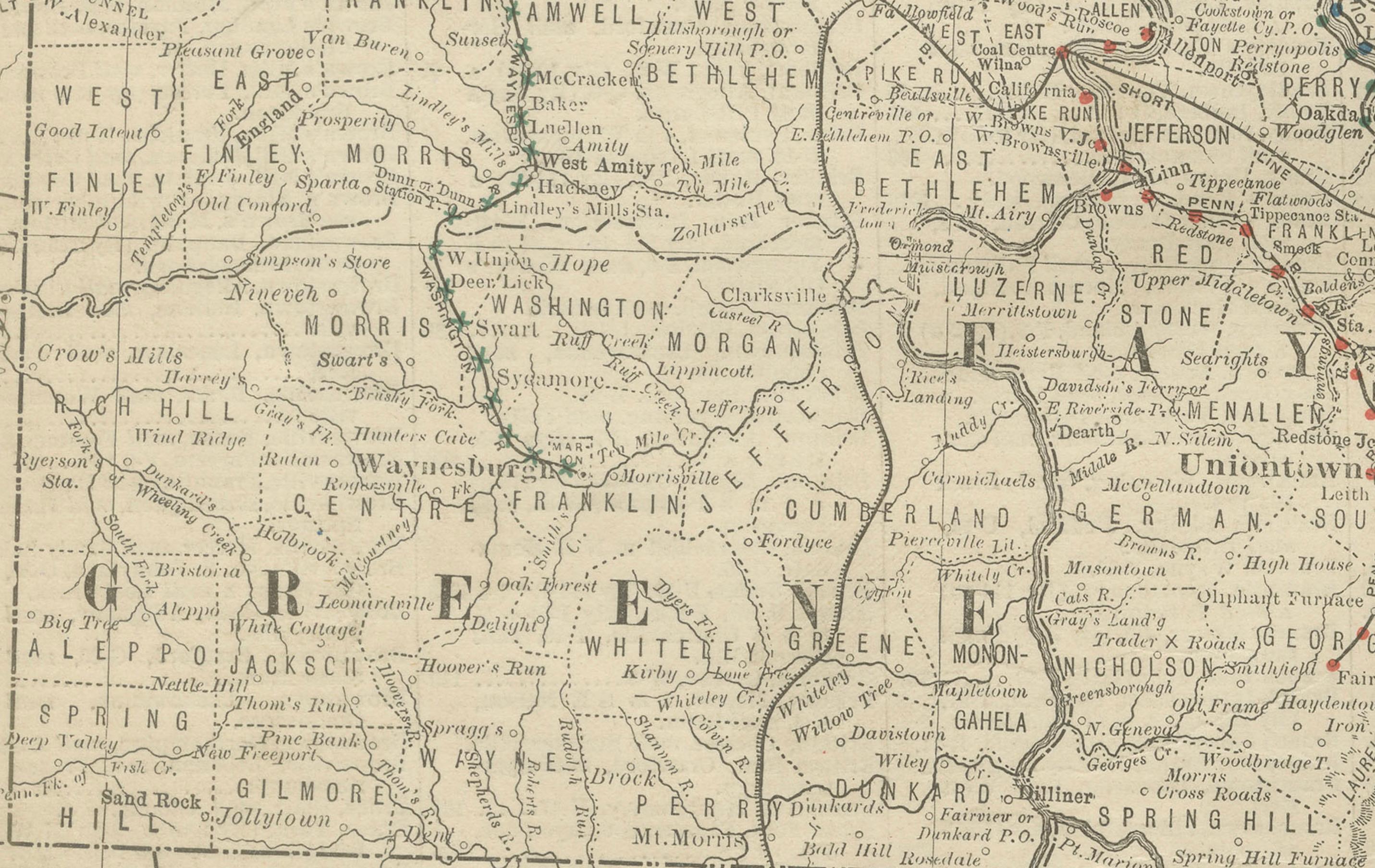
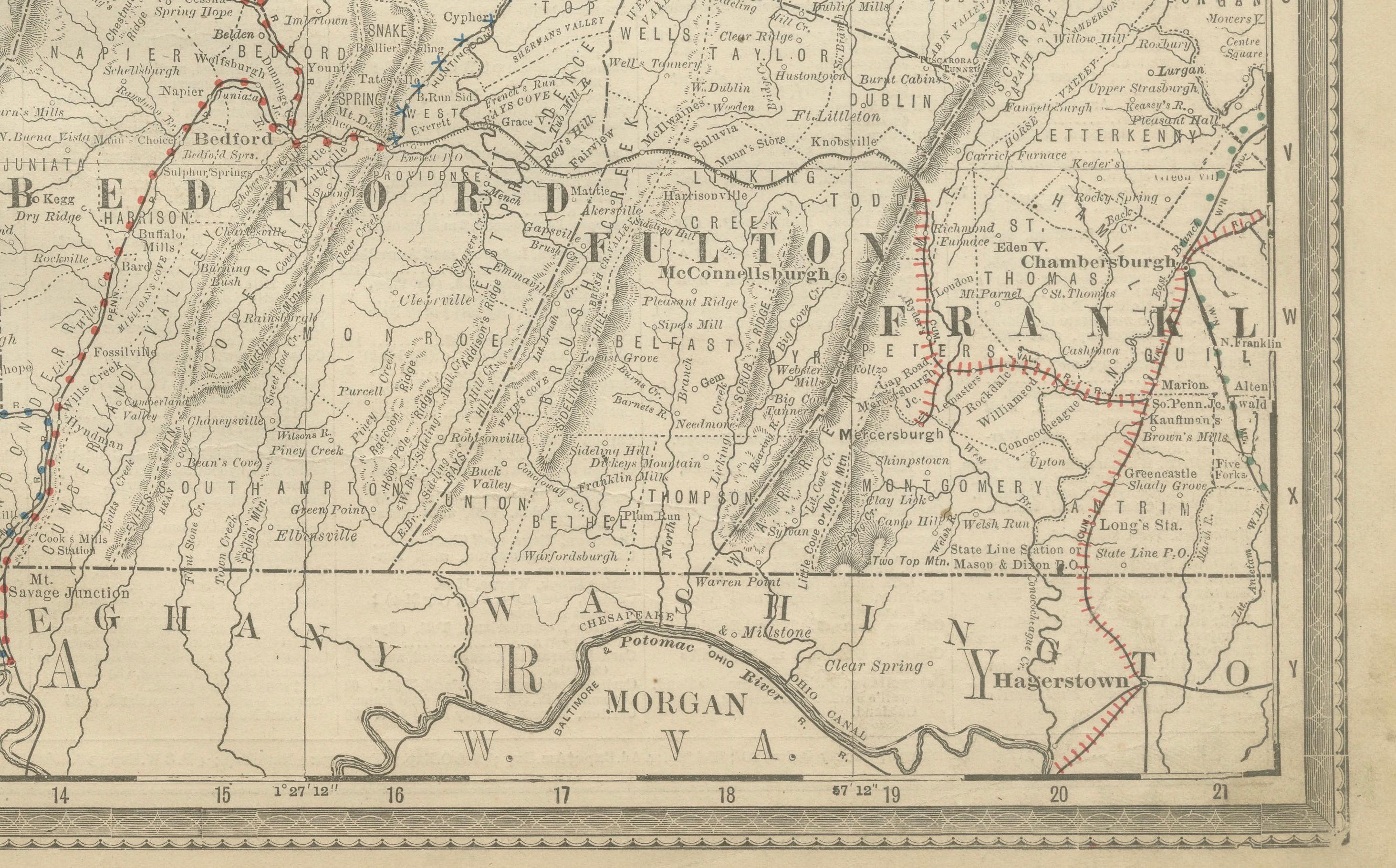
This antique map of southwestern Pennsylvania was published by Rand, McNally & Co. around 1888. It comes from their late 19th-century atlases and captures the industrial and economic core of the state during the height of America’s Gilded Age.
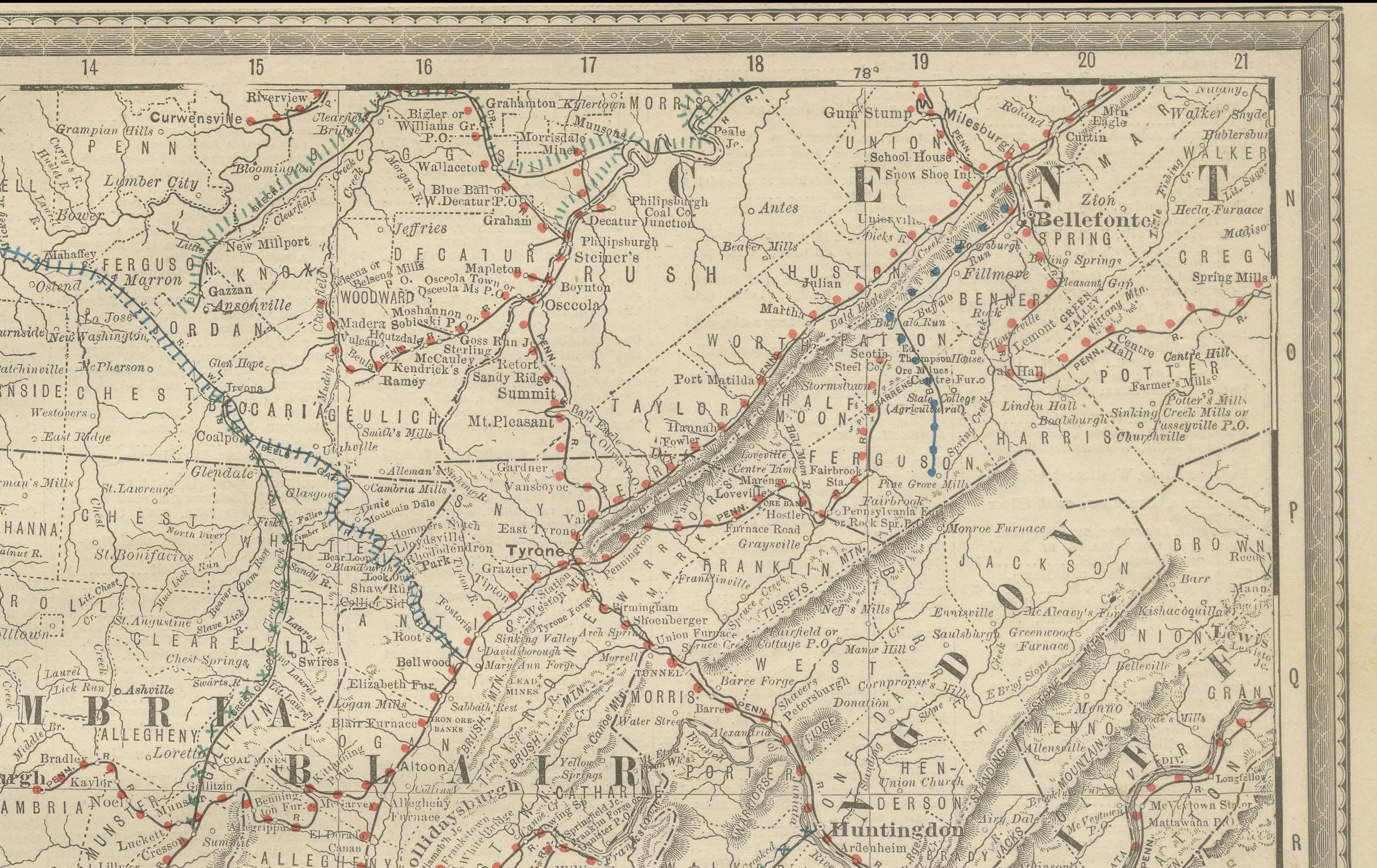
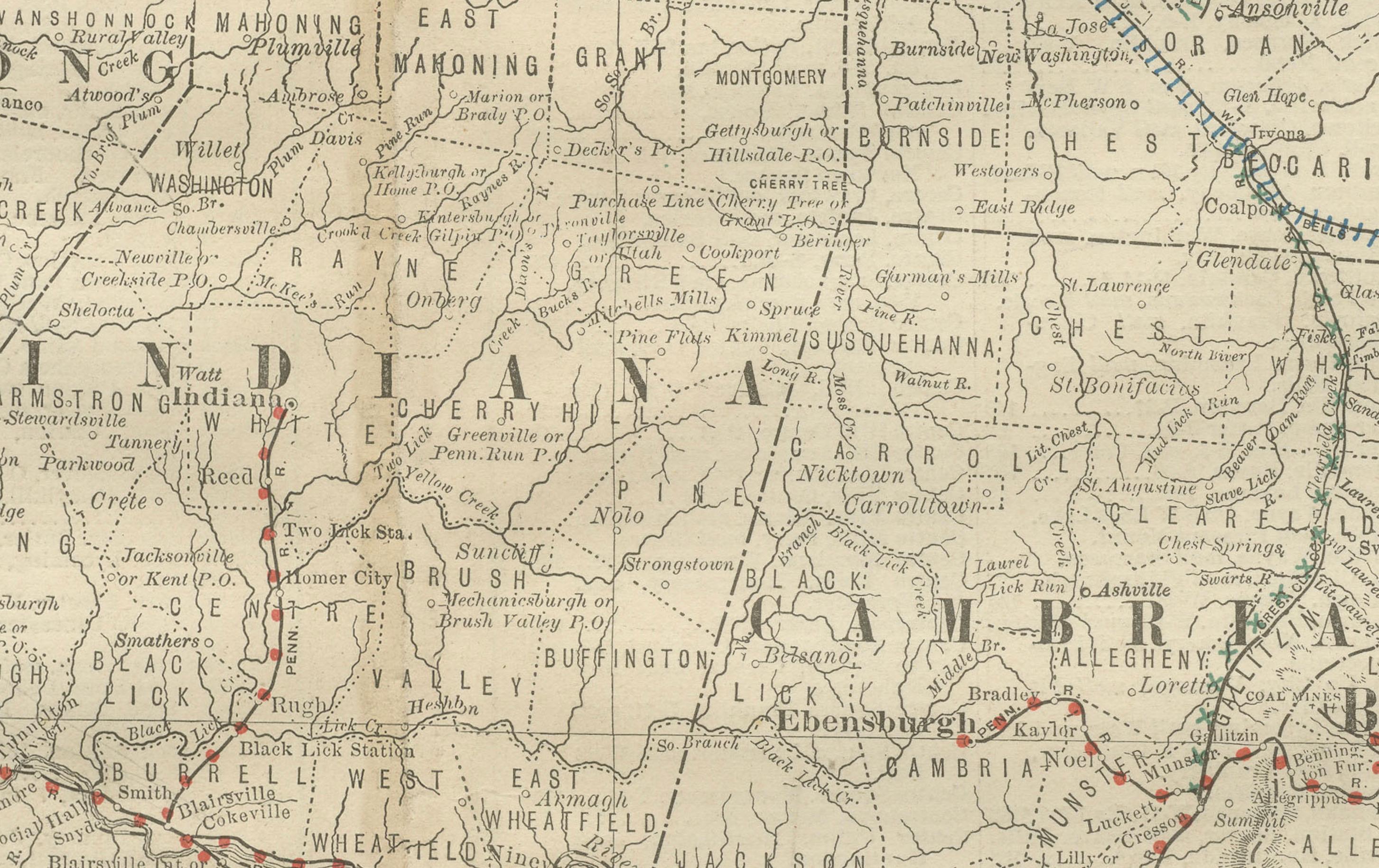
The map focuses on the southwestern region of Pennsylvania, including Allegheny County with Pittsburgh, as well as Washington, Westmoreland, Fayette, Greene, Somerset, Bedford, Indiana, and surrounding counties. To the south, it extends into northern West Virginia and western Maryland, illustrating the connectedness of this region with neighboring states.
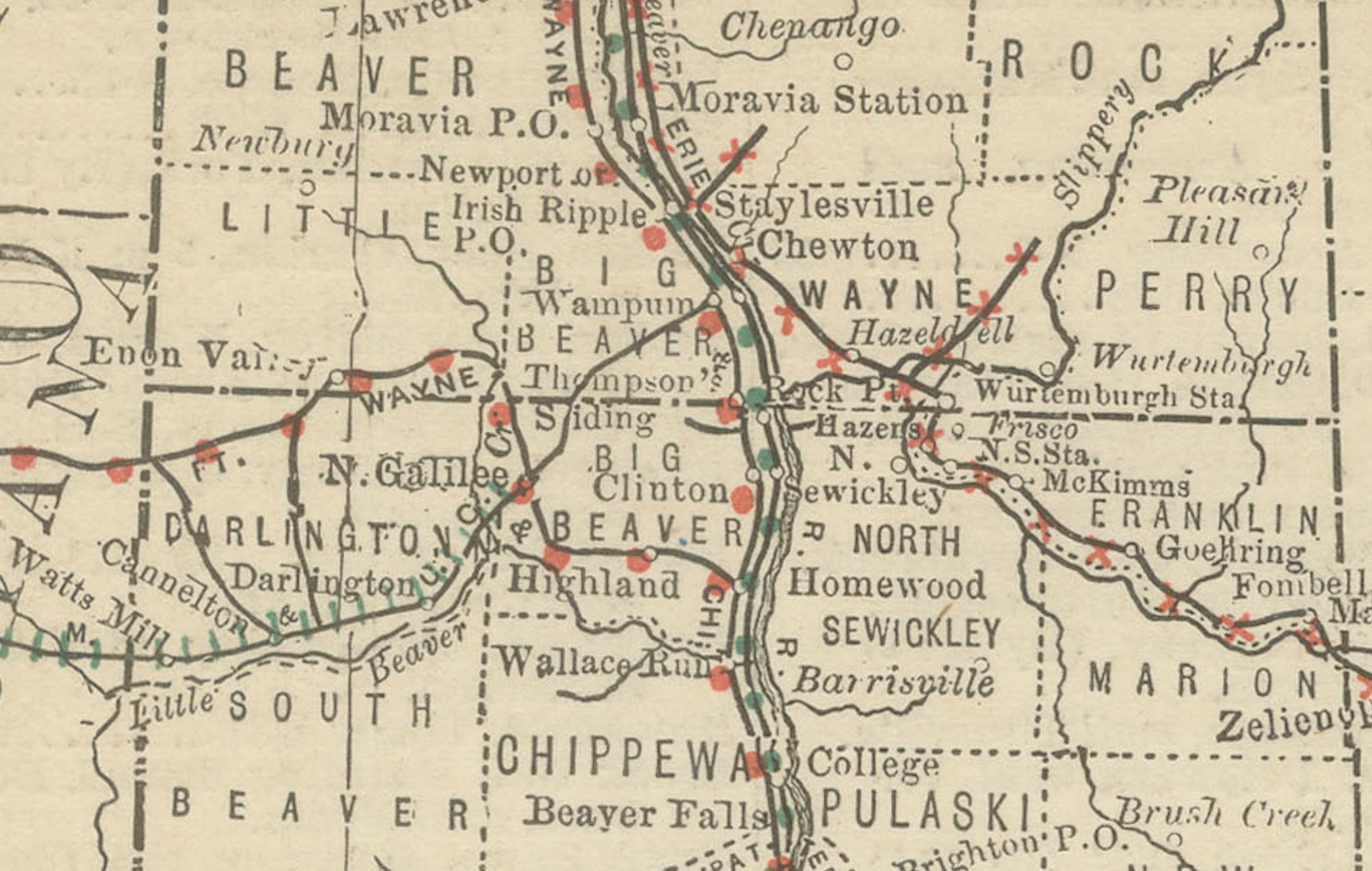
Railroads, drawn in red and blue, dominate the map and vividly demonstrate Pittsburgh’s role as a central hub of commerce and industry. Dozens of lines radiate outward, linking coal mines, steel mills, and small towns to larger markets across Pennsylvania and beyond. The Monongahela, Allegheny, and Ohio Rivers are carefully delineated, emphasizing the city’s importance as both a river and rail transport center.
The counties are finely engraved with clear town names, roads, and rivers. This map provides not only geographical clarity but also an invaluable record of the state’s industrial growth, showing the infrastructure that supported Pennsylvania’s coal and steel dominance at the end of the 19th century.
Collectors will appreciate this as a strong regional map of Pennsylvania, with historical importance tied to the early steel industry, railroad expansion, and the development of Pittsburgh as an industrial powerhouse.
Condition report:
Good condition with mild age toning and light fold wear along the issued center fold. A few minor spots of foxing but no tears or major losses. Plate mark visible. Strong impression with excellent detail.
Framing tips:
A black or dark walnut frame paired with a cream mat would create a sharp contrast that enhances the fine engraved lines. For a more historic feel, a warm brown frame with a double mat—ivory over dark grey—will echo the industrial tone of the subject while drawing attention to Pittsburgh as the map’s focal point.
Technique: Lithograph with original outline color
Maker: Rand, McNally & Co., Chicago, circa 1888