About this sheet
Antique Map of New Mexico – Railroads, Counties & Frontier Settlements, 1888
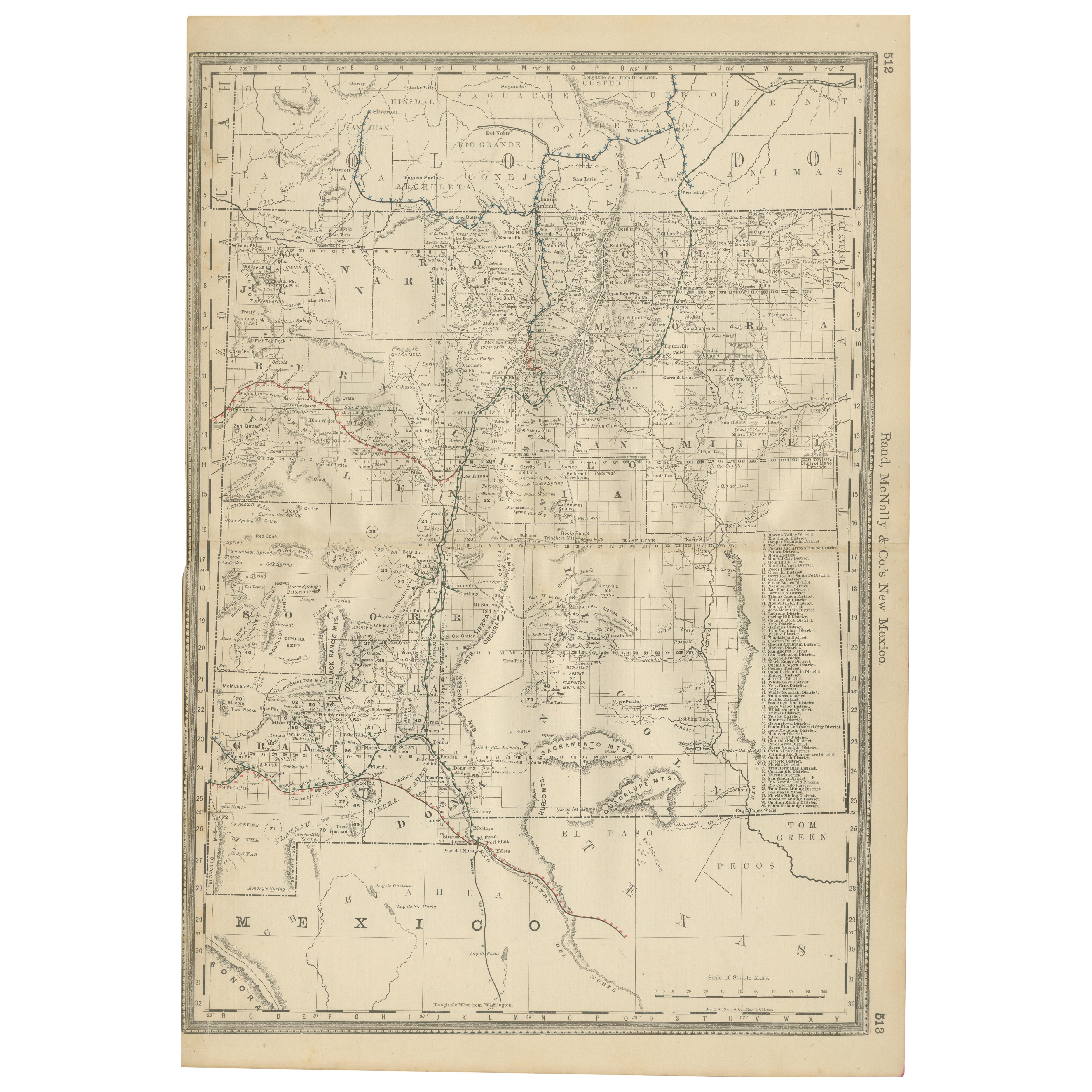
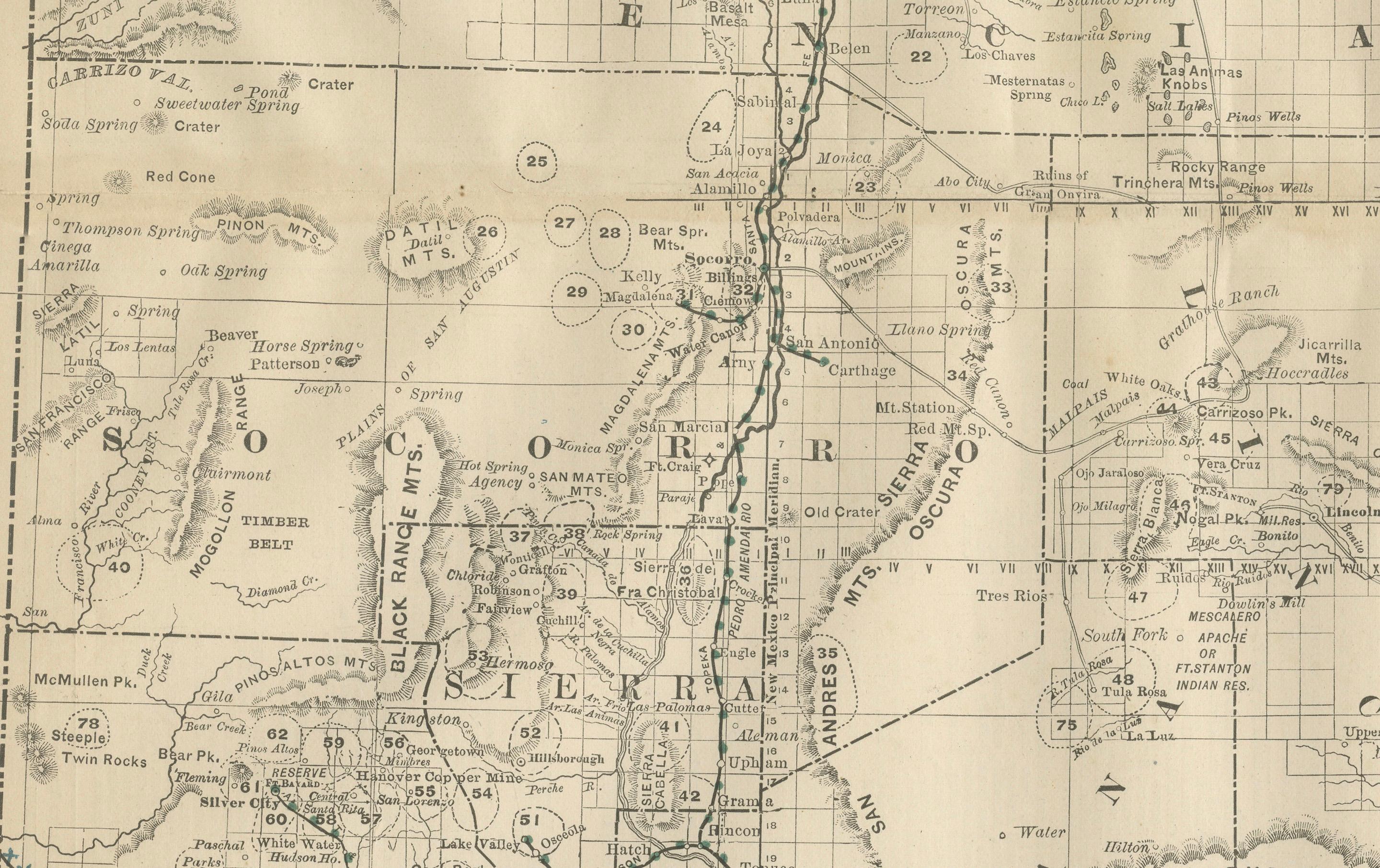
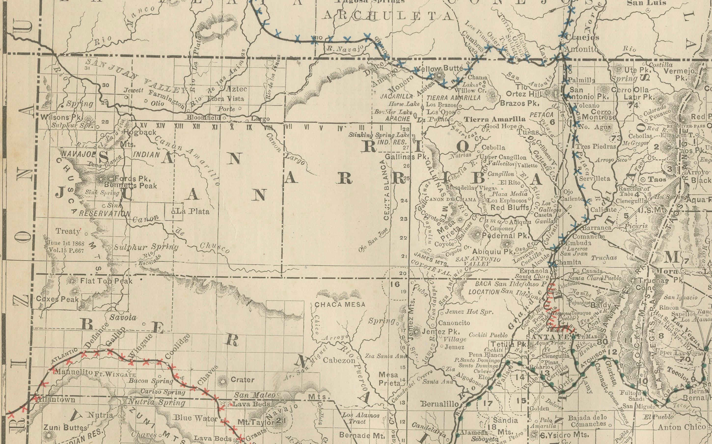
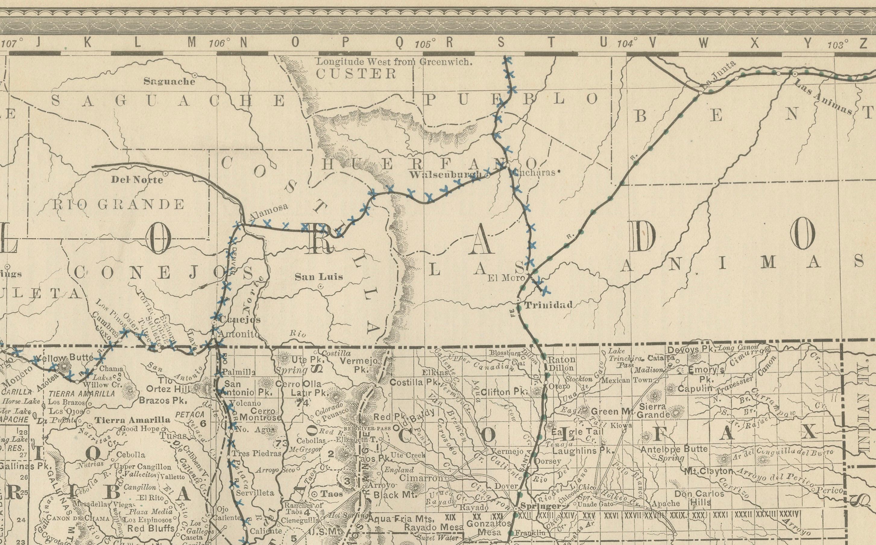
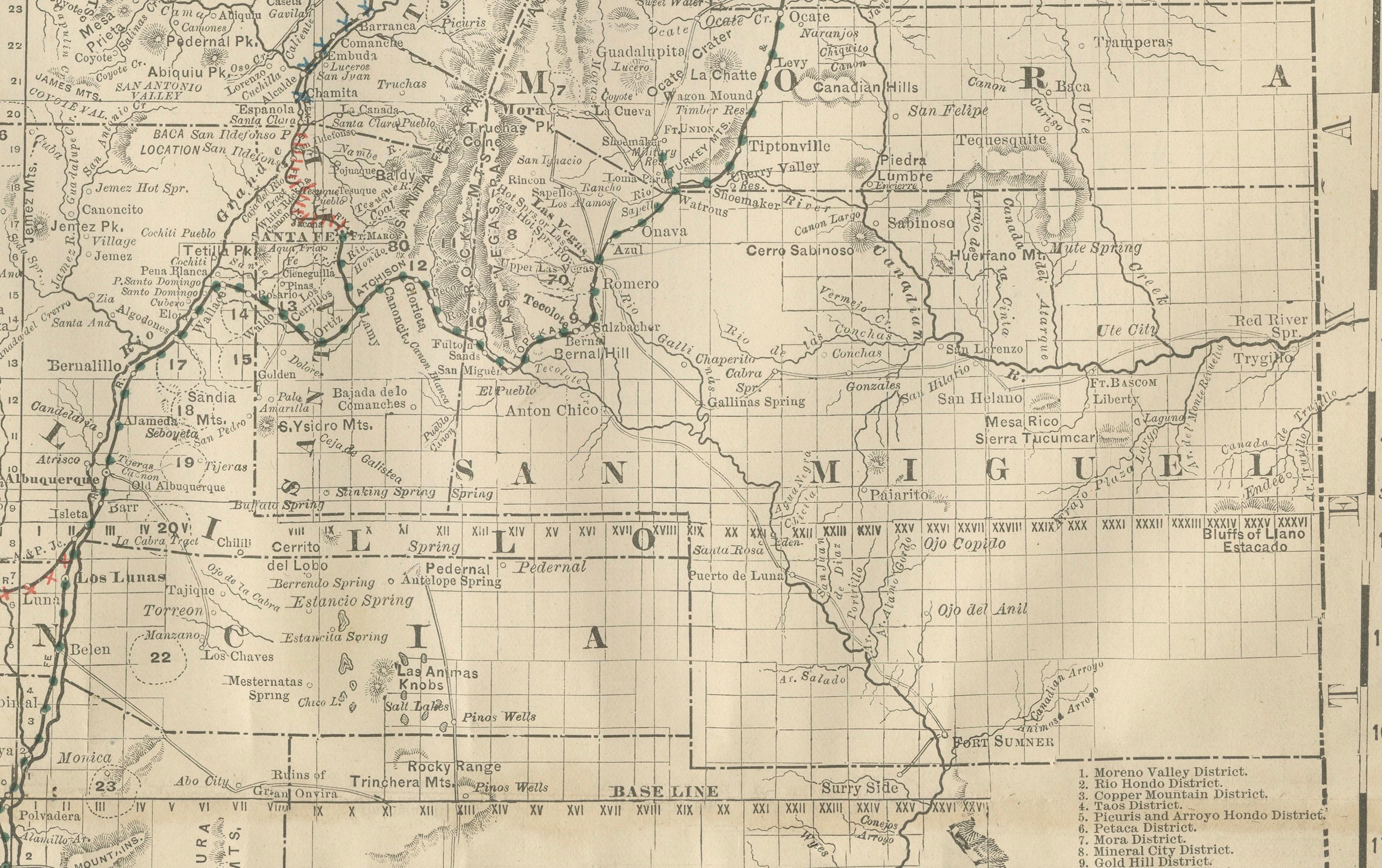
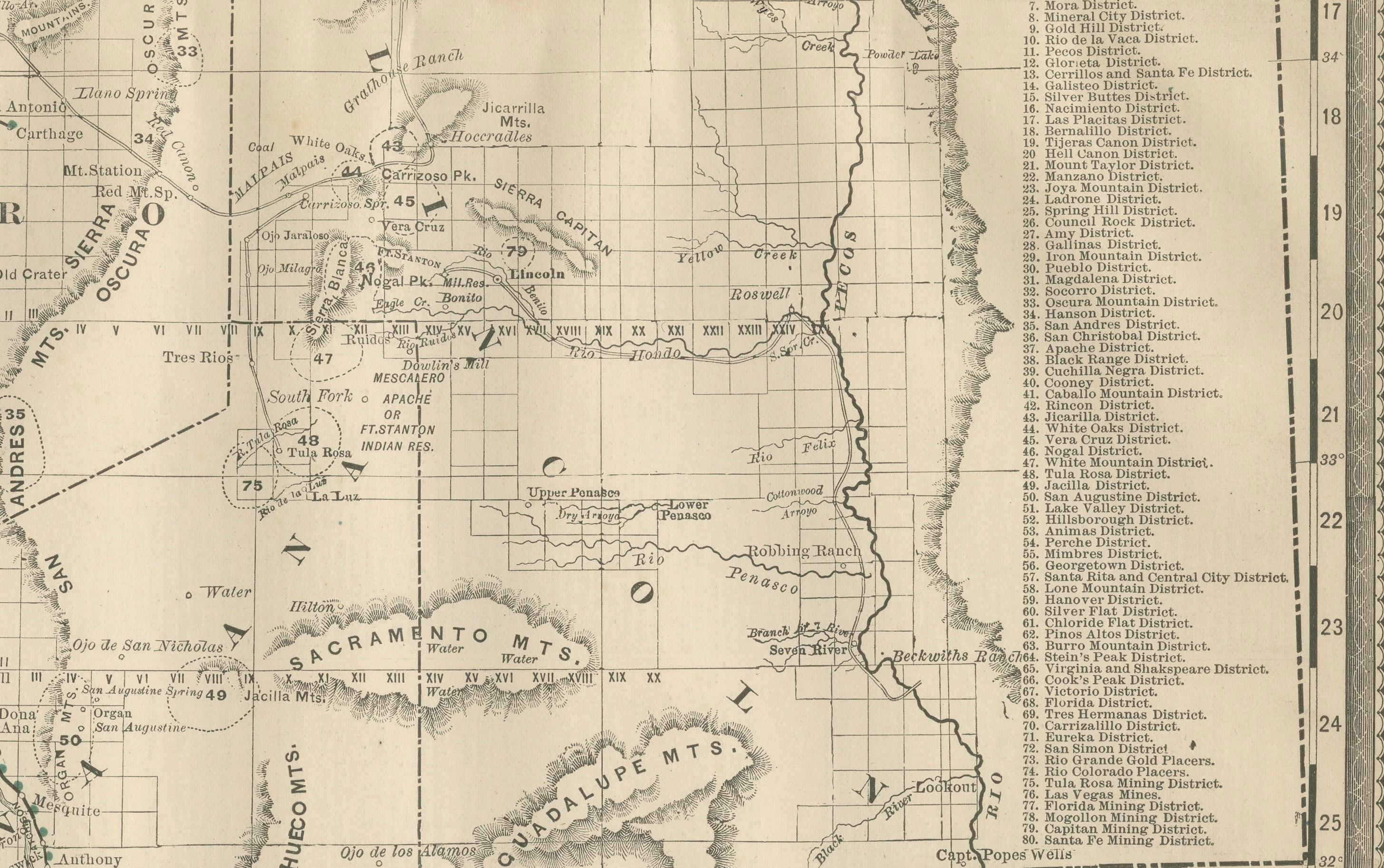
This antique engraved map depicts the Territory of New Mexico in 1888, engraved and published by Rand, McNally & Co. in Chicago for their Improved Indexed Business Atlas and Shippers Guide. It offers a detailed record of New Mexico during its territorial years—nearly a quarter of a century before achieving statehood in 1912.
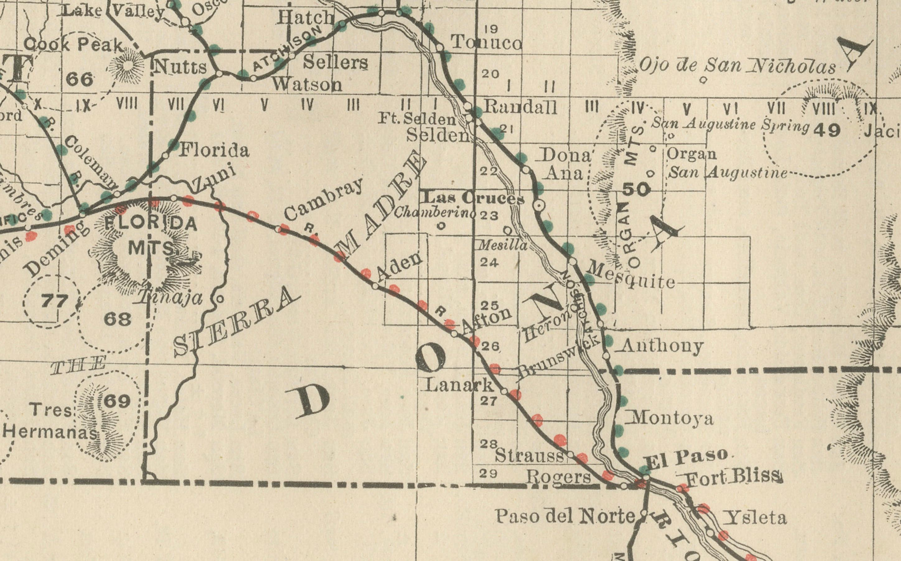
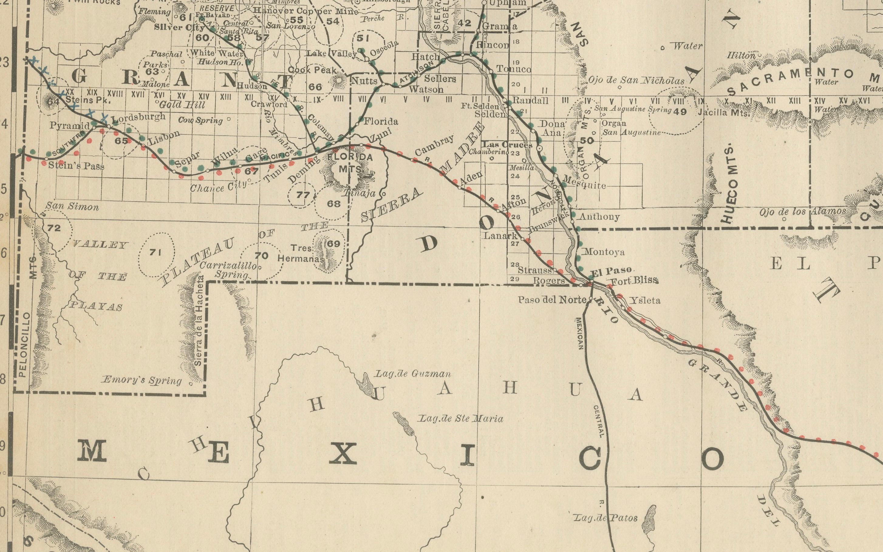
The map highlights New Mexico’s counties, towns, and extensive railroad system. Red and blue lines mark major routes, including the Atchison, Topeka & Santa Fe Railroad, which cut across the territory, linking towns such as Albuquerque, Las Vegas, and Santa Fe with eastern and western markets. The Southern Pacific line, crossing through Deming and onward into Arizona, is also shown, reflecting New Mexico’s critical role as a transportation corridor of the American Southwest.
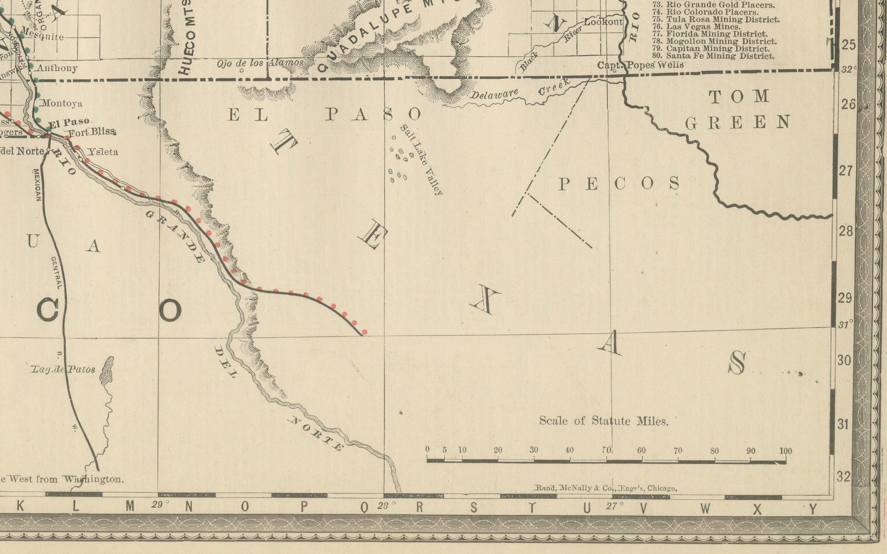
Counties such as Bernalillo, San Miguel, Santa Fe, Dona Ana, Socorro, and Grant are carefully outlined, with smaller frontier towns, mining districts, and ranching settlements indicated. El Paso, Texas, appears prominently at the southern border, underlining New Mexico’s close commercial and cultural ties to its neighbors. Mining regions, ranching areas, and military posts are noted, reflecting the territory’s economic diversity. A detailed place index is included on the map, referencing dozens of locations.
Geographic and natural features are precisely engraved, including the Sacramento Mountains, San Andres Mountains, Mogollon Range, Rio Grande River, and the Jornada del Muerto desert. The Rio Grande, running through the heart of the territory, is shown as the lifeline of settlement and agriculture. The map also borders Mexico to the south, highlighting the international dimension of the territory’s trade and migration.
The historical significance of this map lies in its portrayal of New Mexico as a developing frontier in the late 19th century. Railroads had begun to bring new settlers, miners, and traders into the region, but many areas remained sparsely populated, shaped by Native American communities, Hispanic villages, and Anglo-American ranching settlements.
Printed using fine engraving techniques, this map embodies Rand McNally’s precise cartographic style and practical utility for businessmen, shippers, and settlers seeking opportunities in the West.
Condition summary: Good condition overall. Mild age toning, faint foxing along margins, and original fold lines as issued. Paper remains strong with a crisp plate impression. No major tears or repairs.
Framing tips: A walnut or dark oak frame will enhance the antique appearance of this map, while a black frame with an ivory or cream mat will provide a clean modern contrast. A double mat, in ivory with a warm earth-tone accent such as terracotta, can highlight New Mexico’s desert landscapes.
Technique: Engraving
Maker: Rand, McNally & Co., Chicago, 1888