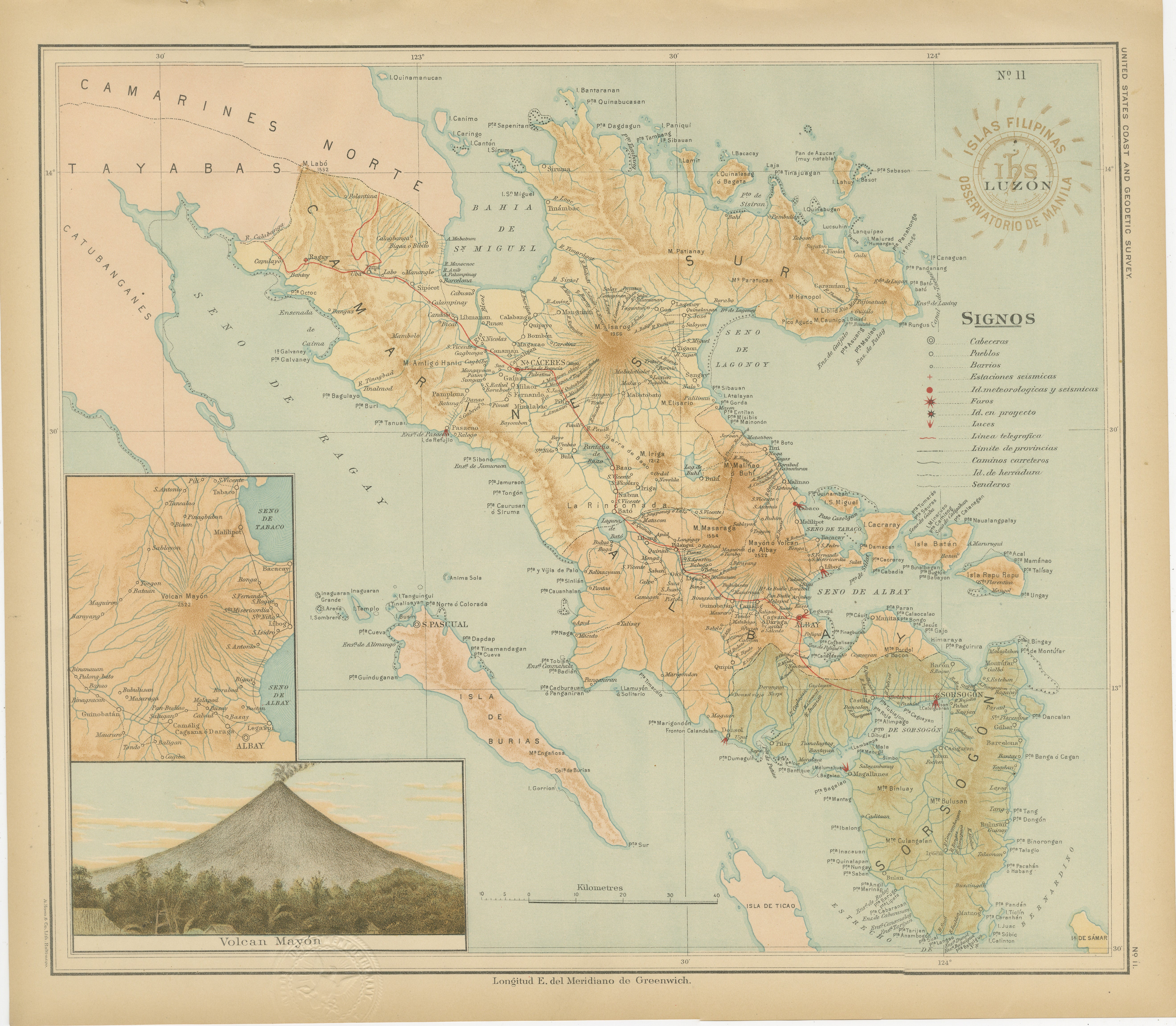
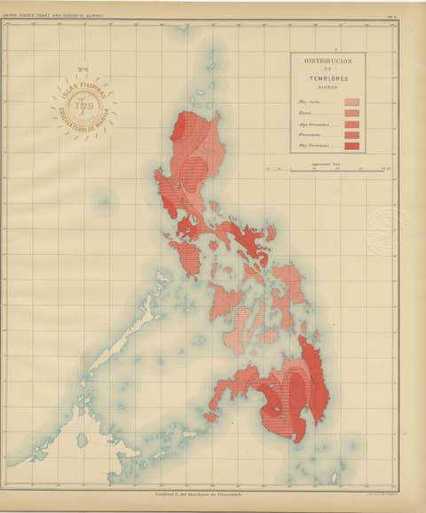
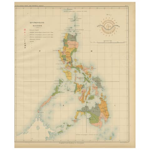
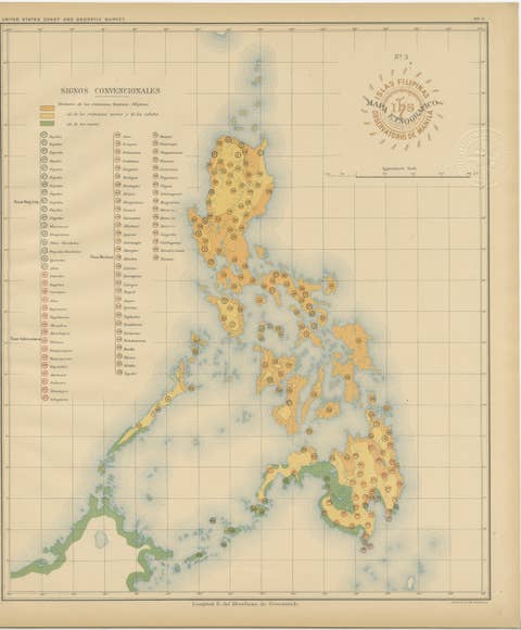
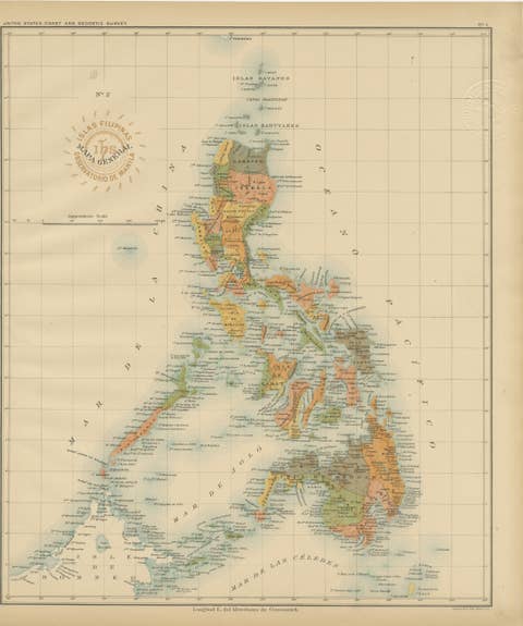
Map of Southeastern Luzon and Mayon Volcano – Observatorio de Manila, 1899
€ 460
One of a kind: this is the sheet in the photographs. Ships from Langweer, the Netherlands.
Date
1899
Sheet size
32.5 × 37 cm (12.8 × 14.6 in)
Condition
Excellent
Reference
BG-12176-11
Condition
with original color and only minor toning to the margins. Both embossed and inked institutional stamps are sharp and fully legible.
About this sheet
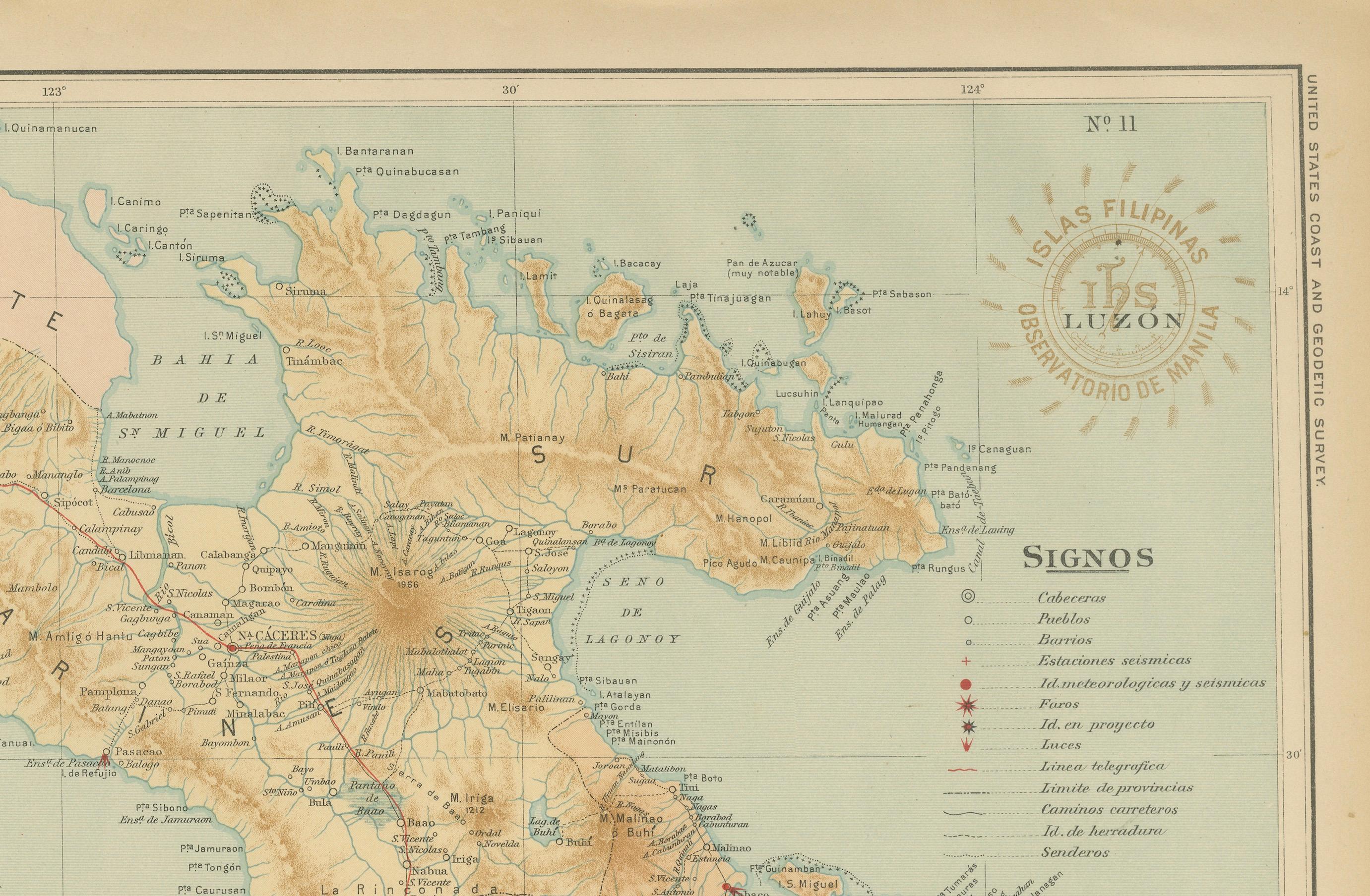
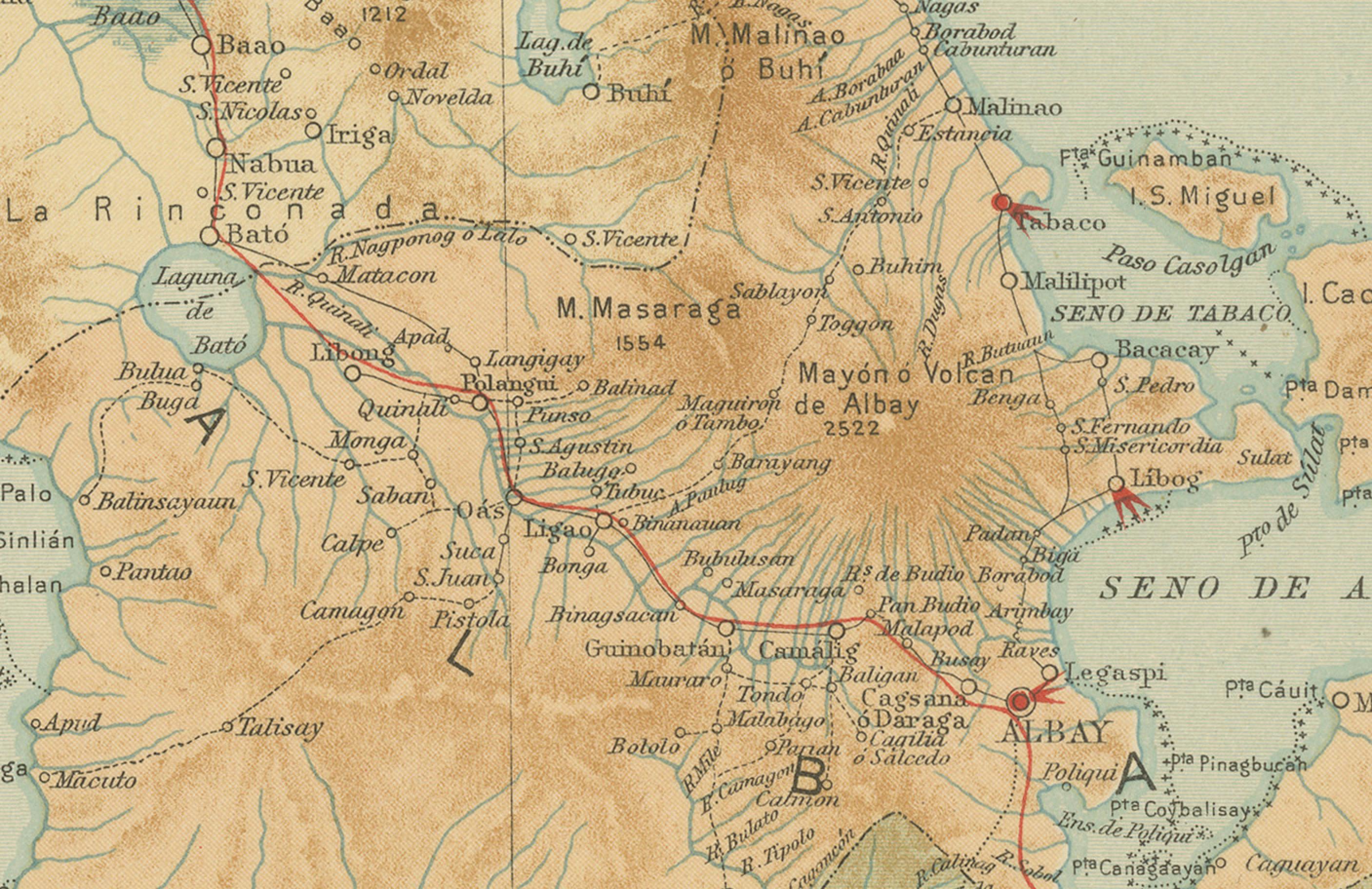
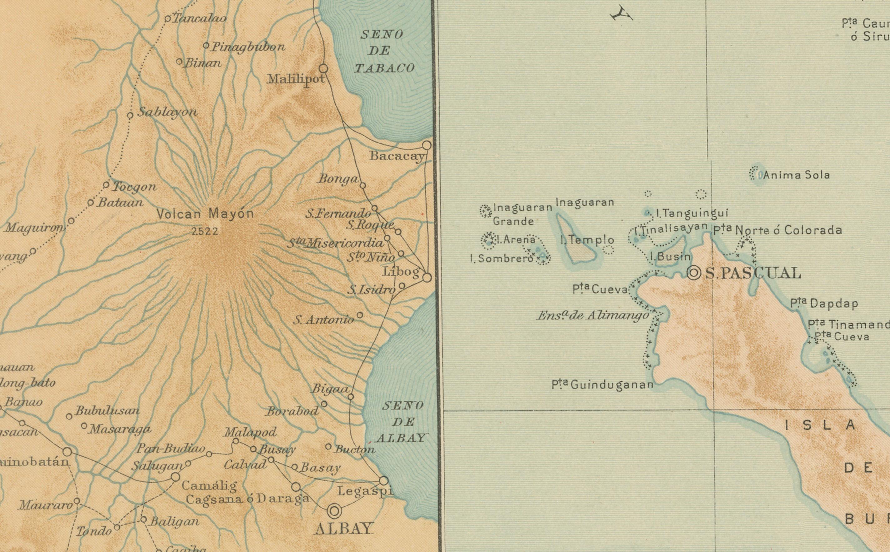
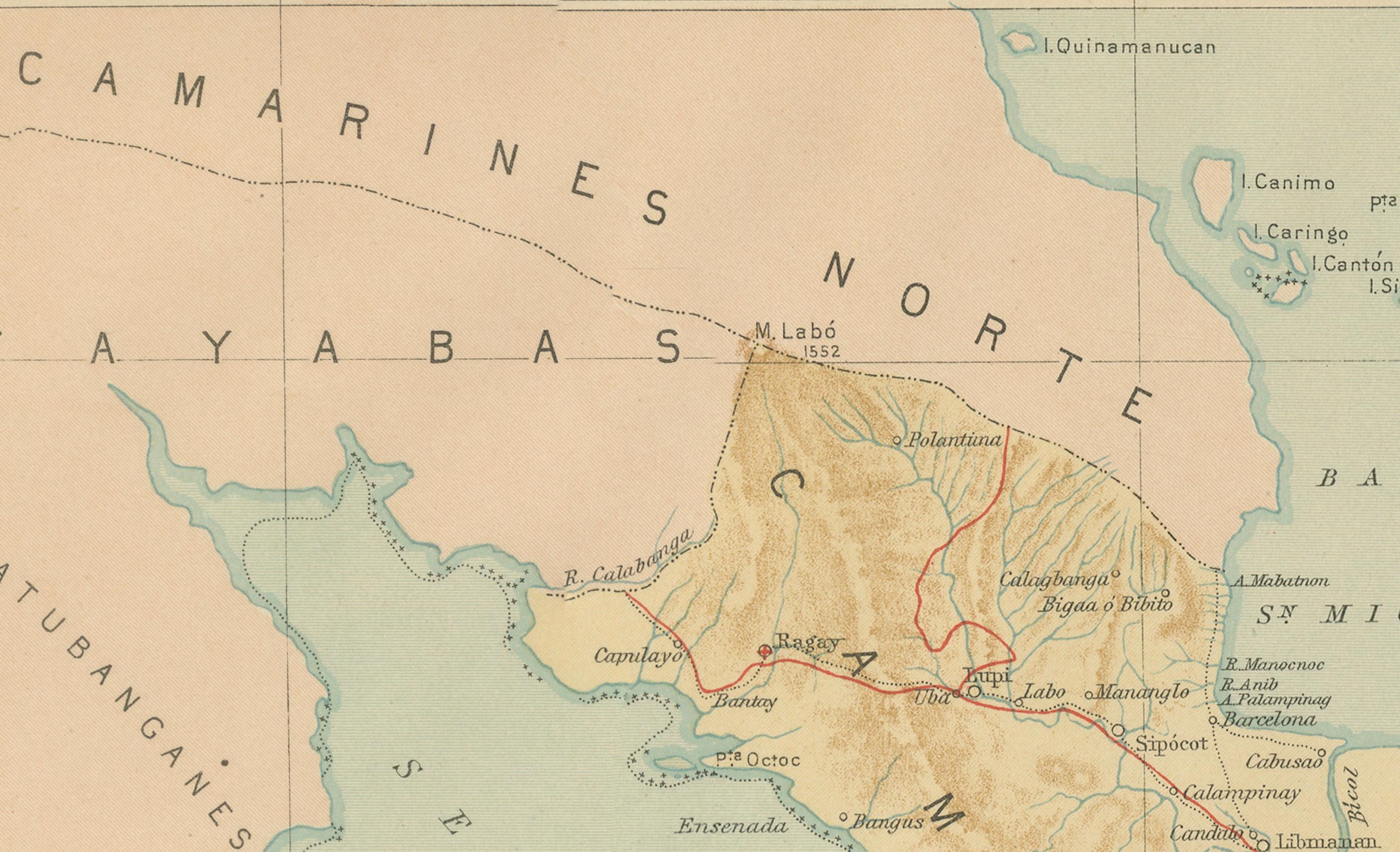
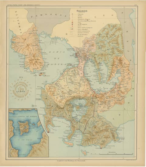
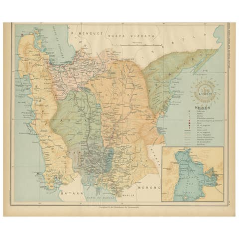
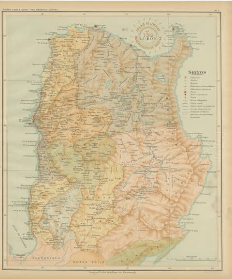
This detailed chromolithographed map titled “Islas Filipinas – Luzón” was produced in 1899 under the direction of Rev. José Algué, S.J., Director of the Observatorio de Manila, and published as Plate No. 11 from the Atlas de Filipinas. It presents an extraordinary survey of the southeastern portion of Luzon, focusing on the provinces of Albay, Sorsogon, and parts of Tayabas and Camarines Sur.
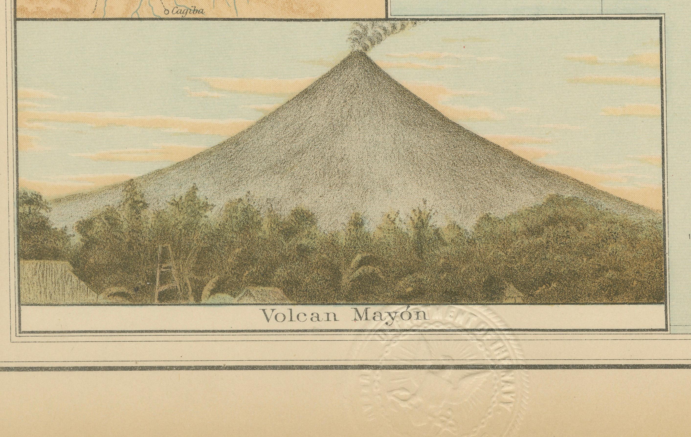
The map vividly depicts the varied terrain of the Bicol Peninsula, emphasizing both natural and man-made features with remarkable precision. The majestic Mayon Volcano dominates the center, surrounded by towns such as Legazpi, Daraga, and Guinobatan, all clearly marked along the mountain’s base. The inset at the lower left corner provides two significant details: a topographic plan of the Mayon Volcano showing lava flows and surrounding settlements, and a chromolithographic view of the volcano itself — a perfect cone that has long been celebrated as one of the most beautiful in the world.
The legend (“Signos”) identifies numerous symbols representing observatories, telegraph lines, seismic and meteorological stations, roads, rivers, and administrative divisions. The red circular seal of the “Observatorio de Manila” and the embossed insignia of the “U.S. Coast and Geodetic Survey” verify that this plate was part of the Jesuit-produced atlas later issued in 1900 by the U.S. Government Printing Office as *Atlas of the Philippine Islands*.
This map is a superb example of scientific and artistic cartography from the late 19th century, combining precise Jesuit observation with advanced lithographic printing. It documents both the physical geography and infrastructural landscape of southern Luzon during a period of transition from Spanish to American administration. The Mayon Volcano inset further underscores the atlas’s pioneering inclusion of geological and seismic data — a hallmark of the Manila Observatory’s achievements.
Condition: Excellent, with original color and only minor toning to the margins. Both embossed and inked institutional stamps are sharp and fully legible.
Framing tips: This plate pairs beautifully with a light oak or gold-toned frame and an ivory mat, highlighting the soft green seas and rich earth tones of the volcanic landscape.
Technique: Chromolithograph on paper Maker: Rev. José Algué, S.J., Observatorio de Manila, 1899