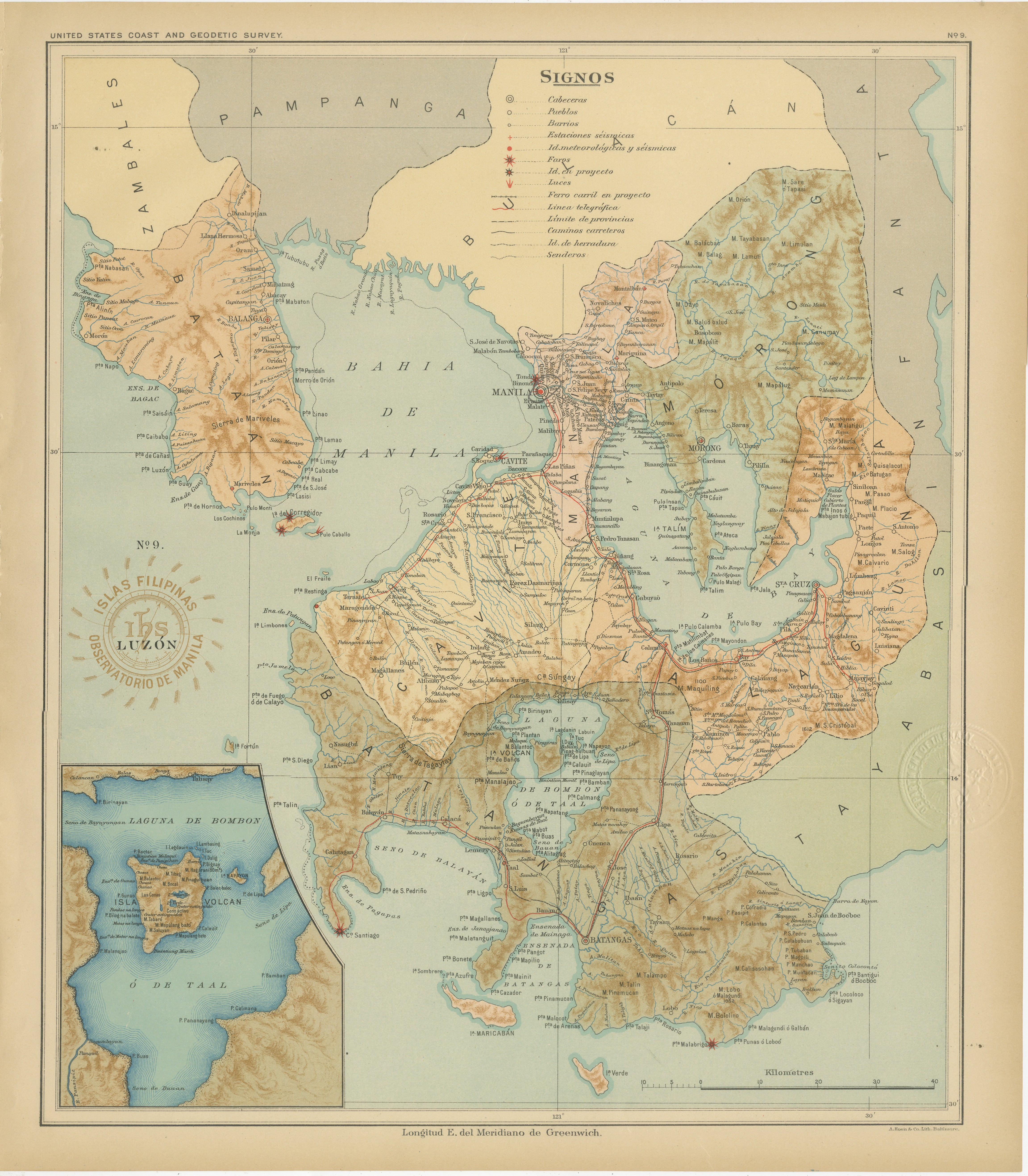
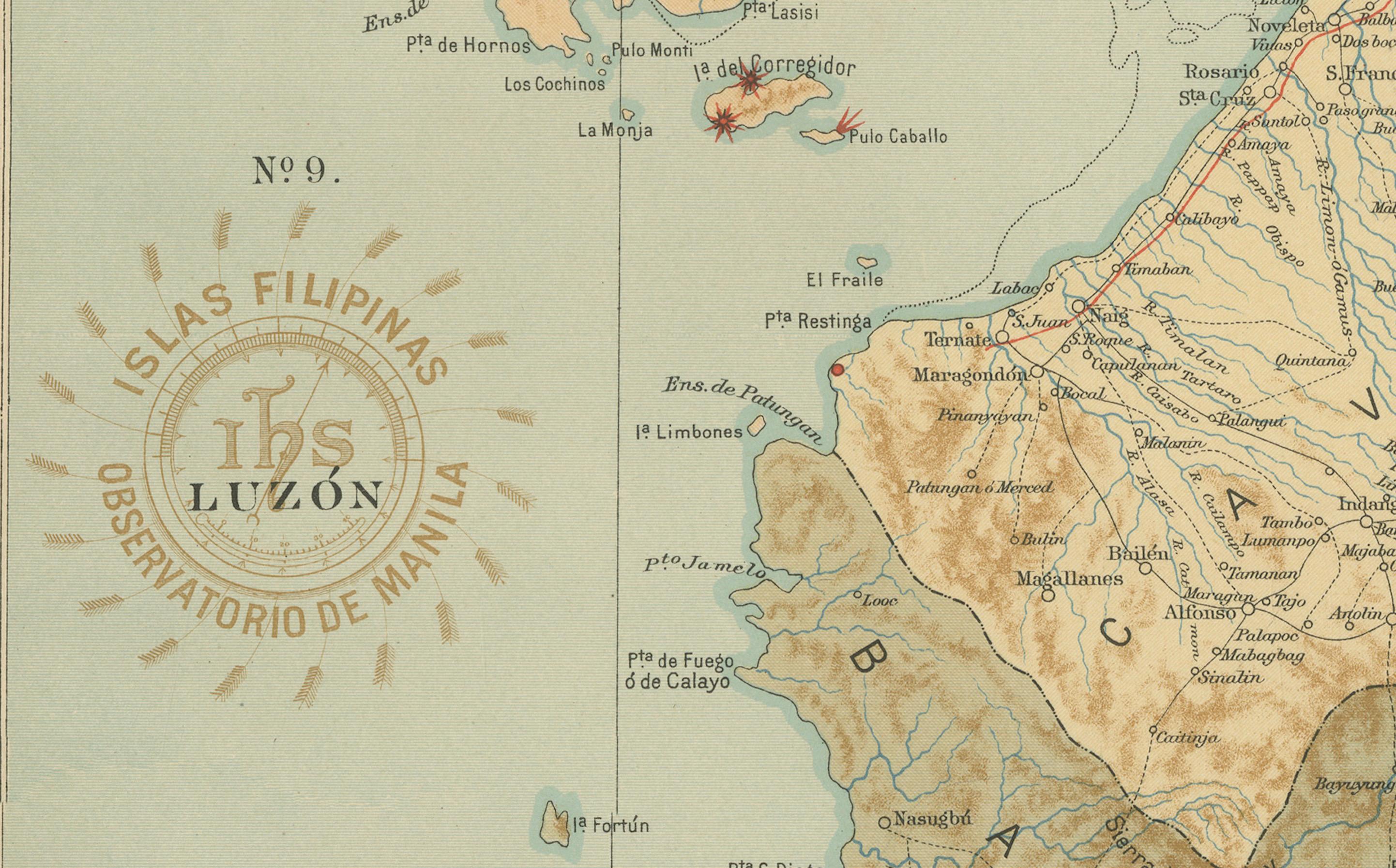
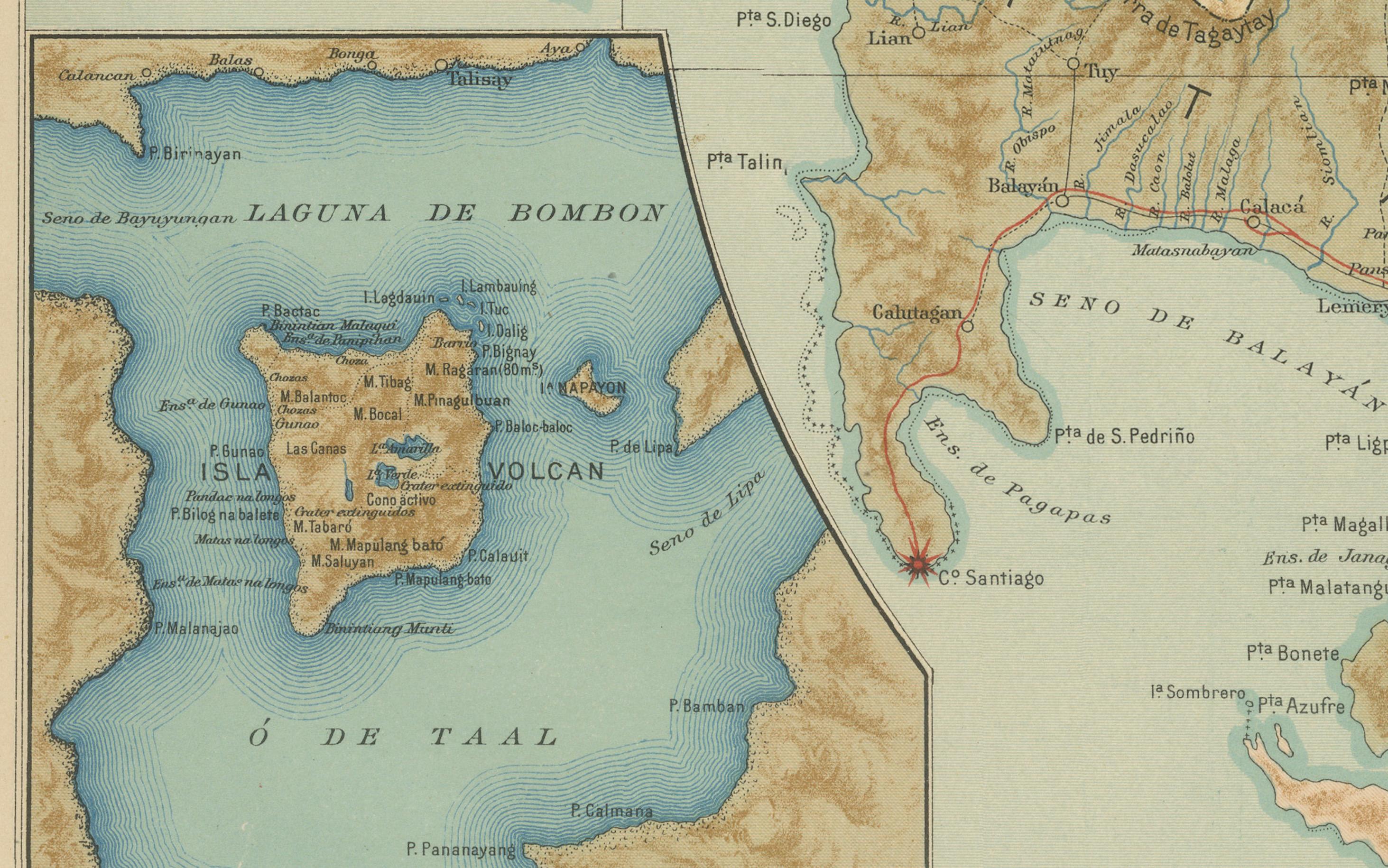
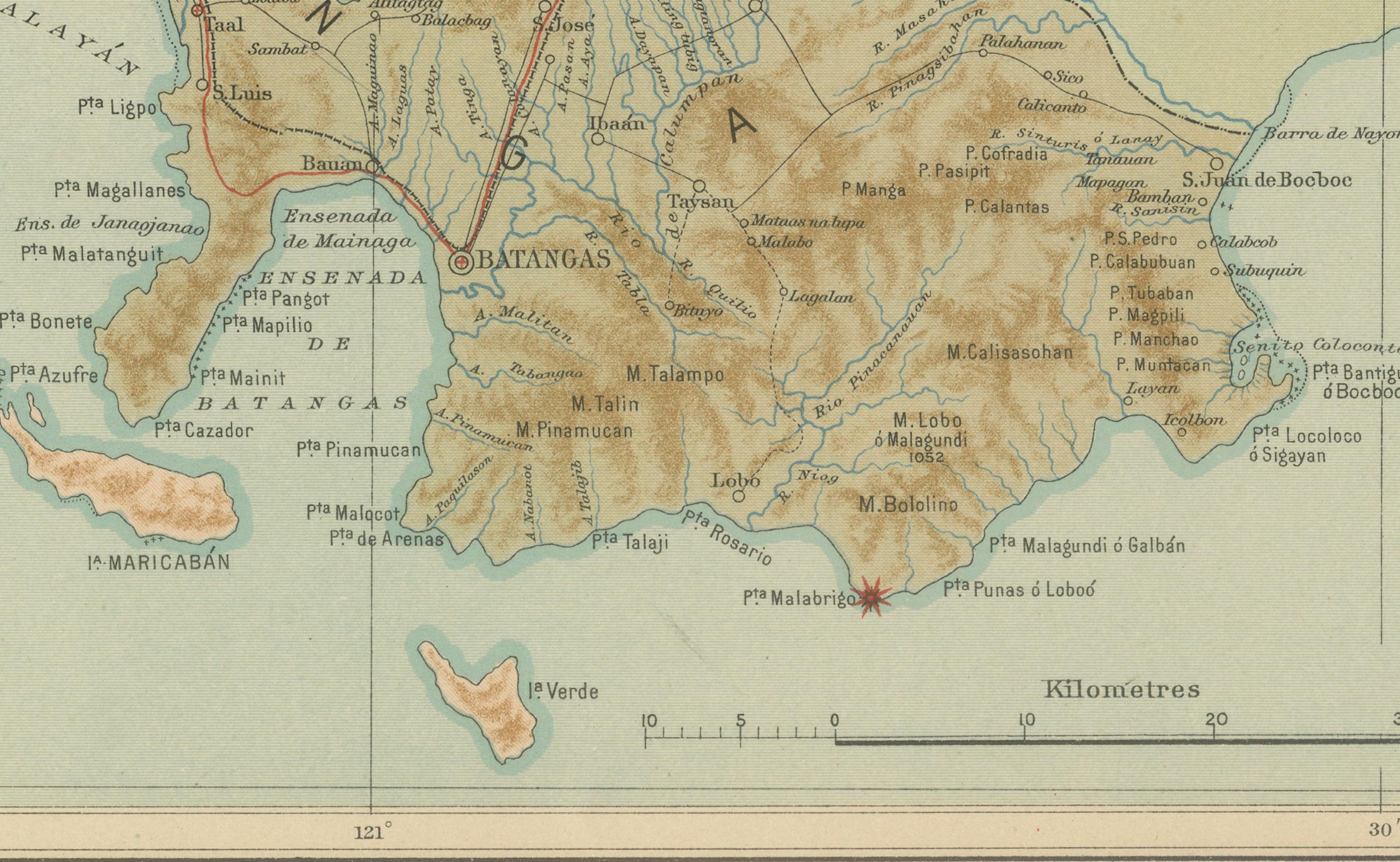
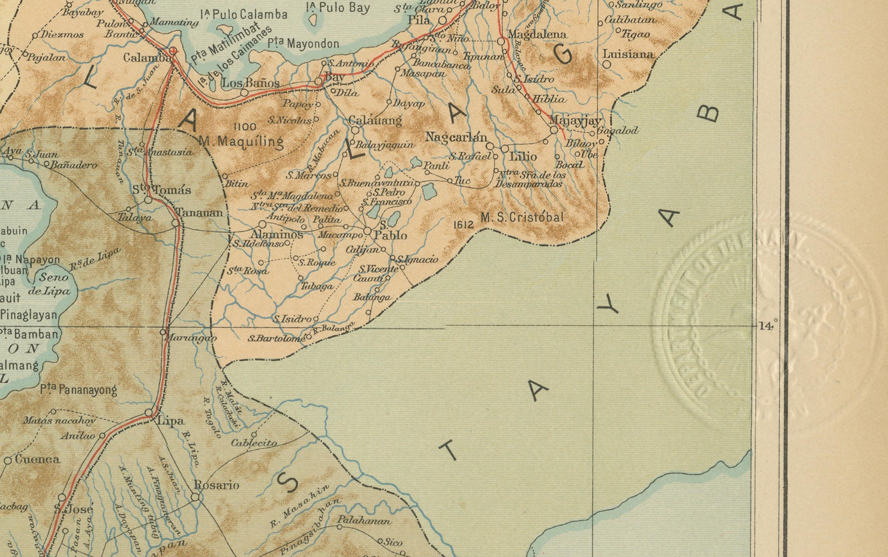
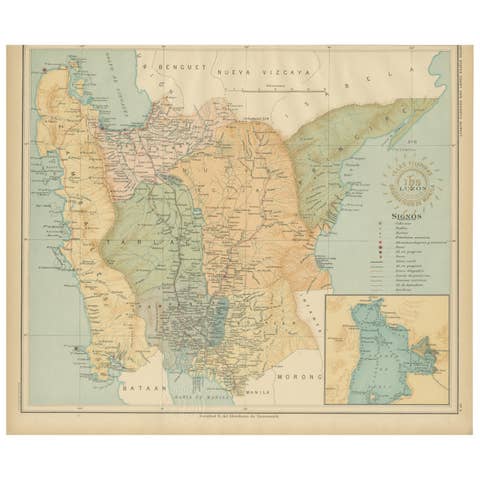
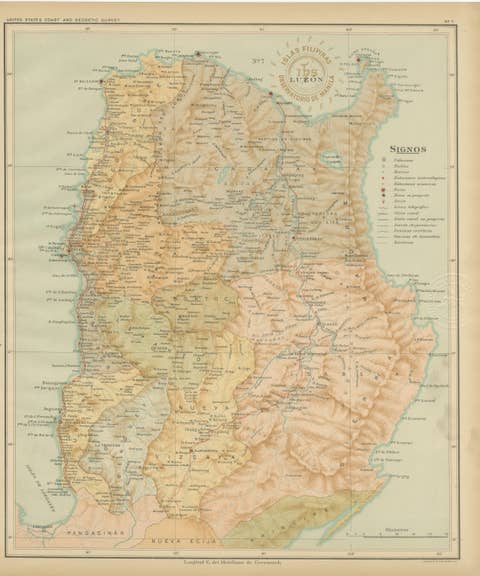
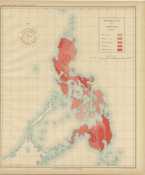
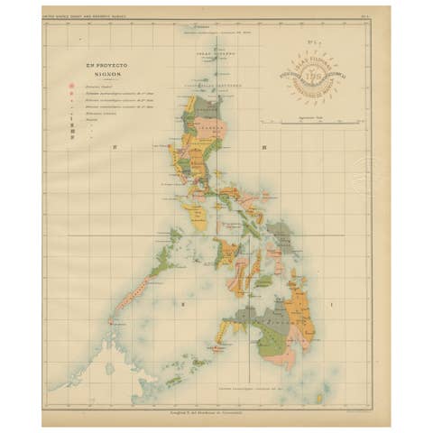
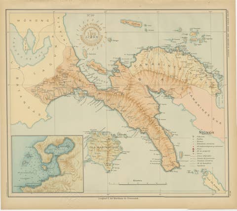
Map of Manila Bay and Southern Luzon – Observatorio de Manila, 1899
€ 460
One of a kind: this is the sheet in the photographs. Ships from Langweer, the Netherlands.
Date
1899
Sheet size
37 × 32.5 cm (14.6 × 12.8 in)
Condition
Excellent
Reference
BG-12176-9
Condition
with original color and crisp detail. Slight age toning to the paper margins consistent with age. Embossed and inked seals remain sharp and intact.
About this sheet
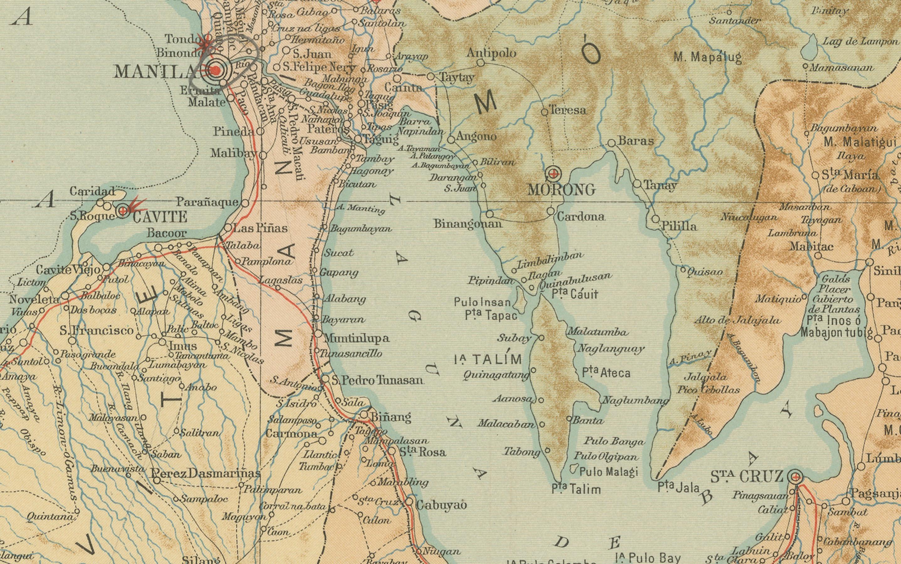
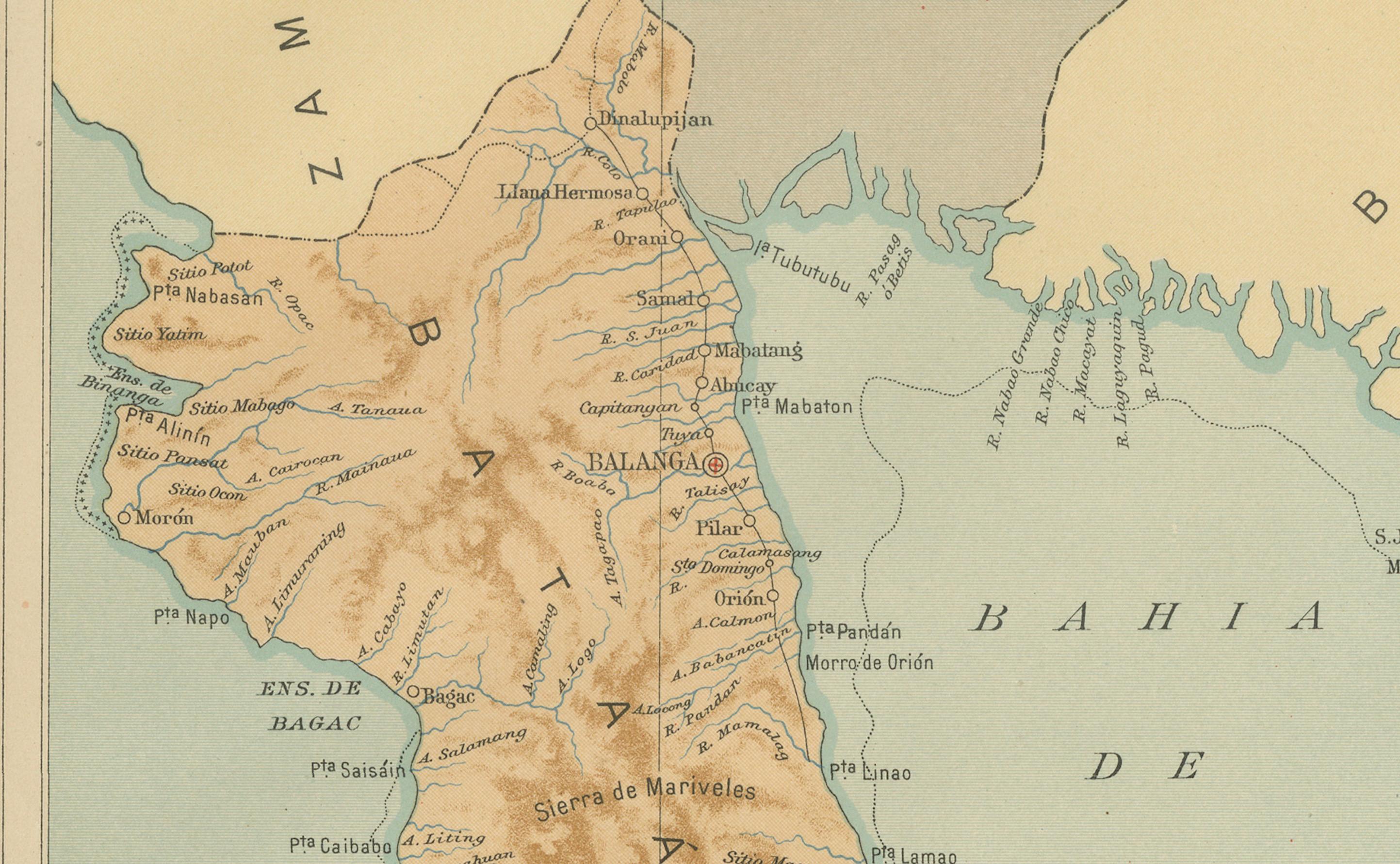
This finely detailed chromolithograph titled “Islas Filipinas – Luzón” was created in 1899 under the direction of Rev. José Algué, S.J., Director of the Observatorio de Manila, and published as Plate No. 9 in the Atlas de Filipinas. It offers a remarkable depiction of the region surrounding Bahía de Manila (Manila Bay) and the southern provinces of Luzon, including Cavite, Batangas, Laguna, and portions of Tayabas and Morong.
The map presents both the physical and human geography of the area with scientific precision. Topographical relief is rendered through delicate shading in soft browns and greens, emphasizing the mountain ranges and volcanic terrain that shape the landscape, particularly around the Tagaytay ridge and the Taal Volcano region. A striking inset in the lower left corner focuses on “Laguna de Bombón” (Lake Taal), showing the famous volcanic island at its center—an enduring symbol of the Philippines’ volcanic nature.
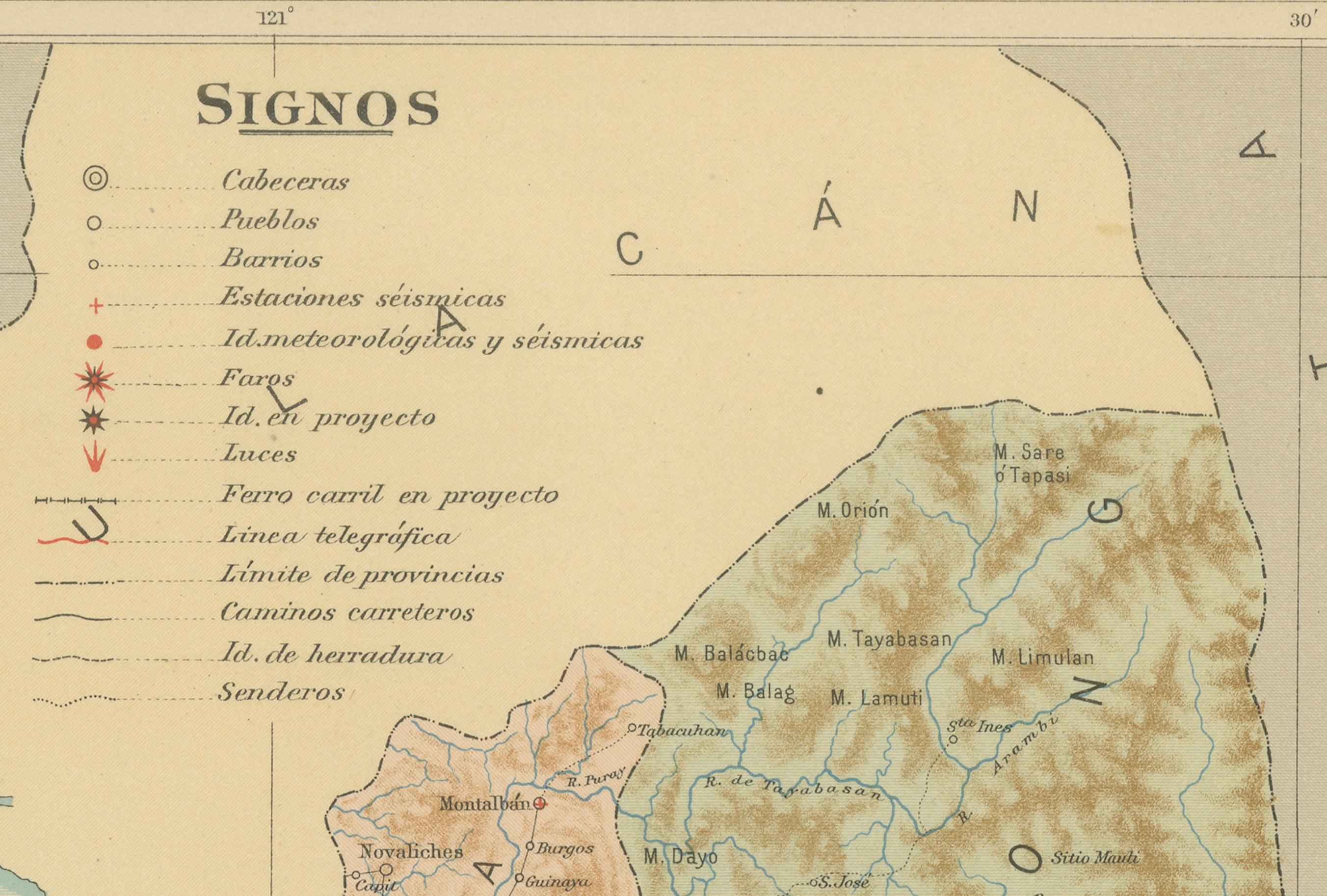
The legend (“Signos”) at the top explains the numerous cartographic symbols used: observatories, telegraph lines, roads, seismic and meteorological stations, and administrative boundaries. The red circular stamp of the “Observatorio de Manila” and the embossed seal of the “U.S. Coast and Geodetic Survey” confirm the map’s official nature and its inclusion in the 1900 Atlas of the Philippine Islands printed by the U.S. Government Printing Office in Washington.
This map is a superb example of late 19th-century scientific cartography, reflecting the meticulous work of Filipino draftsmen and Jesuit scholars at the Manila Observatory. It combines topographical beauty with analytical accuracy, illustrating both natural features and infrastructural development during the final years of Spanish colonial administration and the transition to American governance.
Condition: Excellent, with original color and crisp detail. Slight age toning to the paper margins consistent with age. Embossed and inked seals remain sharp and intact.
Framing tips: Ideal in a dark walnut or rosewood frame with a cream or pale blue mat, complementing the tones of sea and land while emphasizing the intricate detail.
Technique: Chromolithograph on paper Maker: Rev. José Algué, S.J., Observatorio de Manila, 1899