About this sheet
Antique Map of Northern New York – Rand McNally, circa 1888
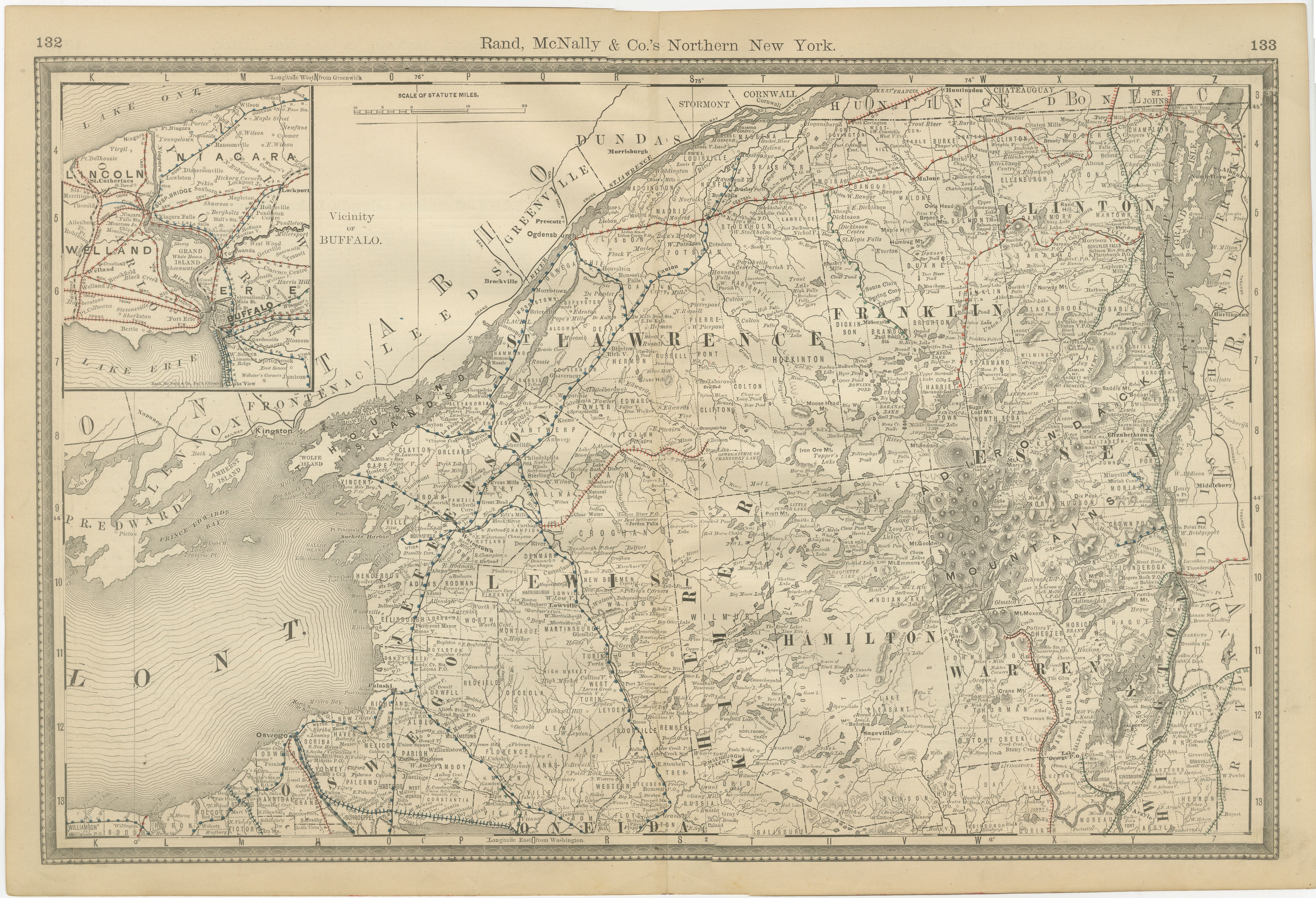
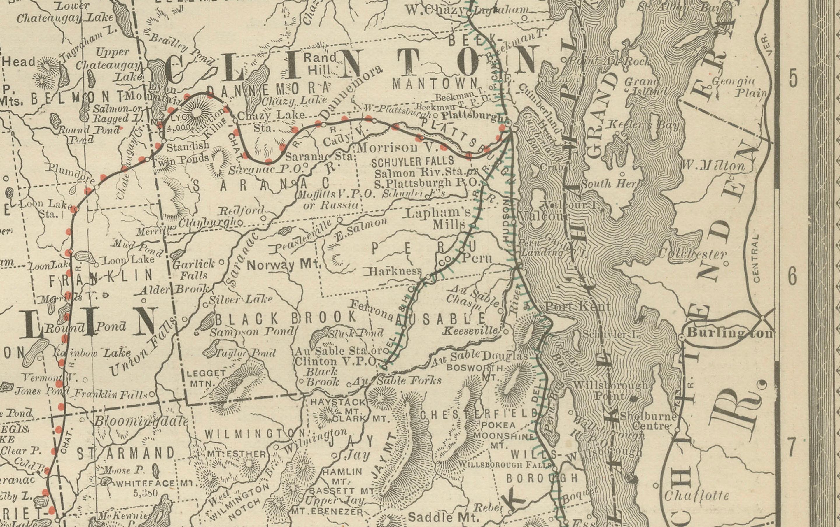
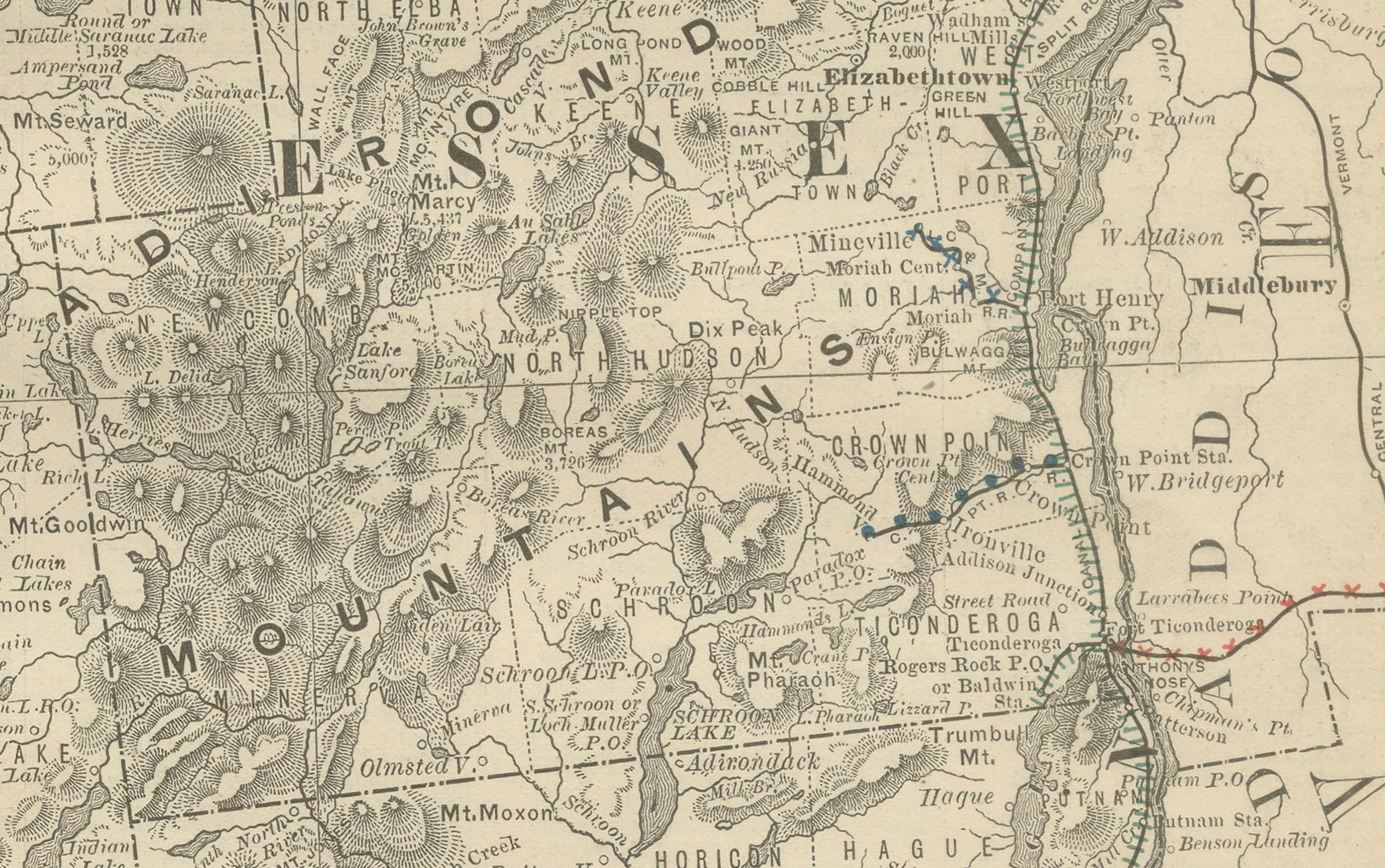
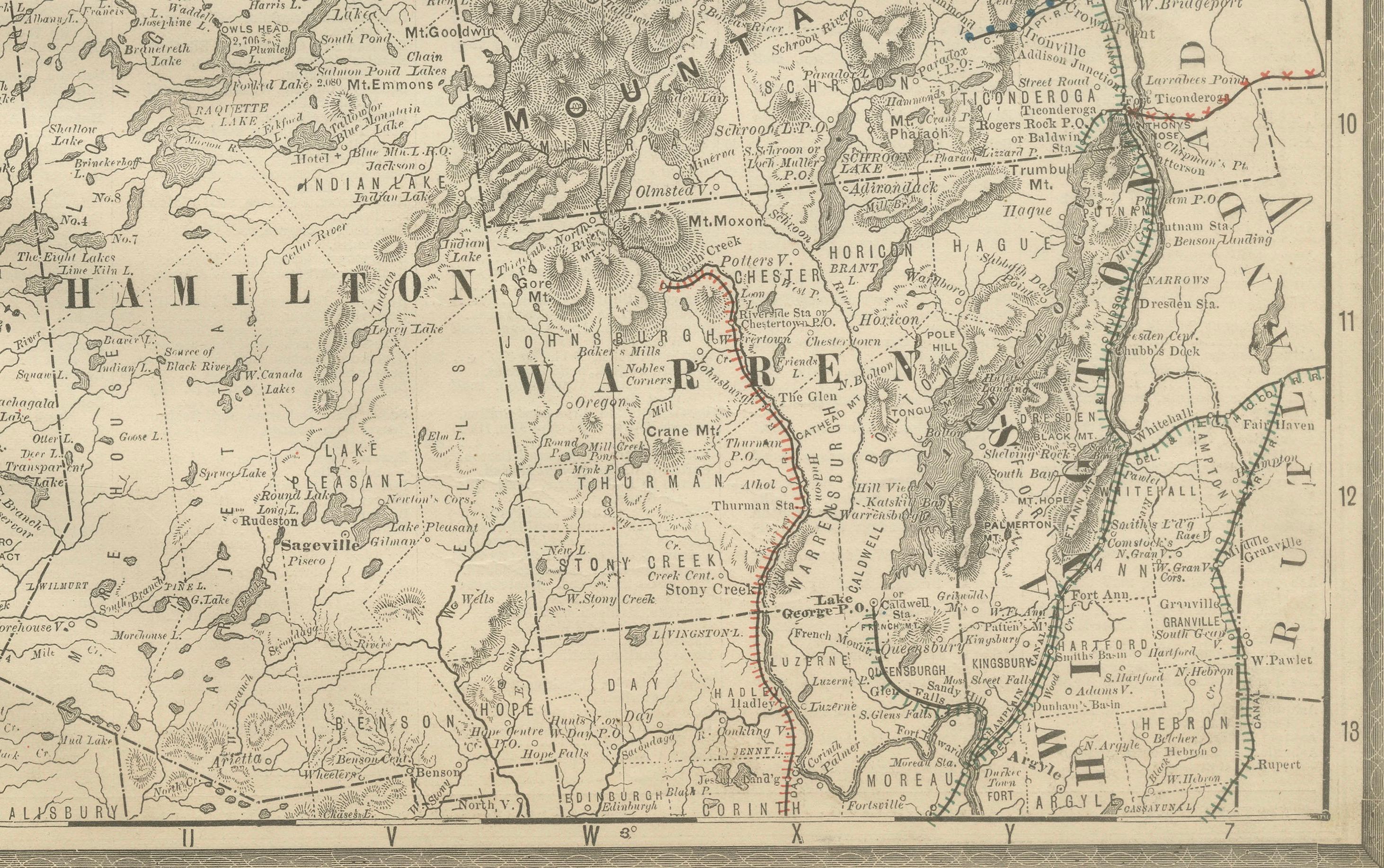
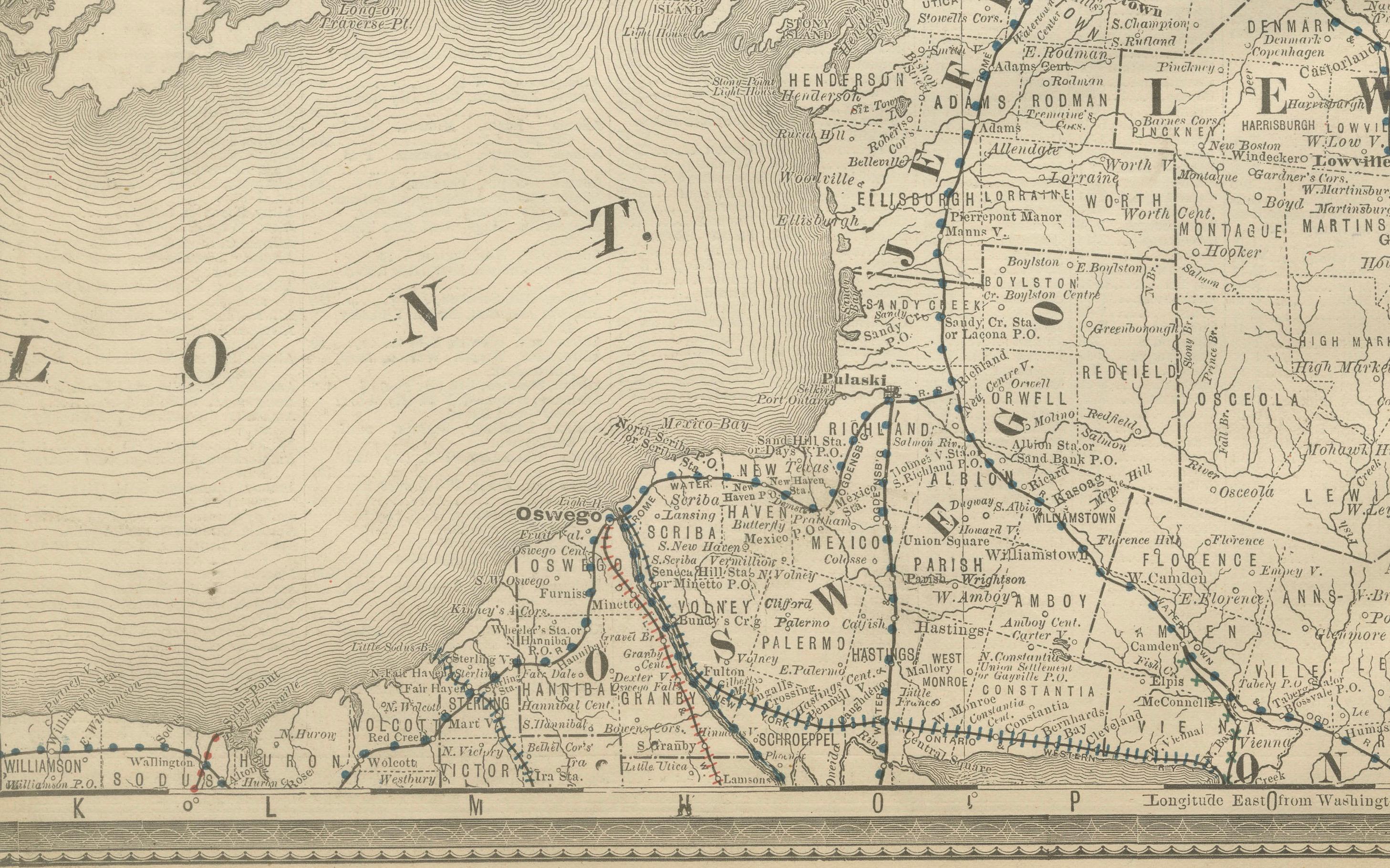
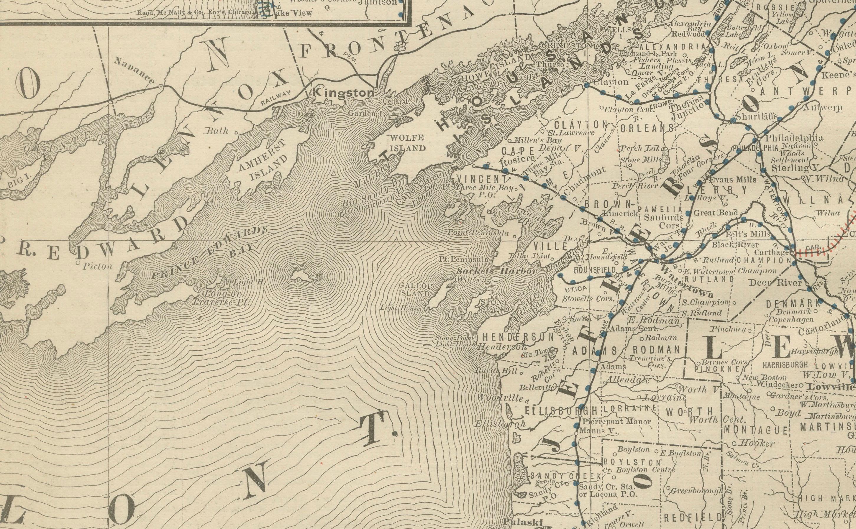
This antique map of northern New York was published by Rand, McNally & Co. around 1888. Taken from one of their late 19th-century atlases, it provides a detailed view of the Adirondack region, the St. Lawrence River, and the state’s northern frontier bordering Canada.
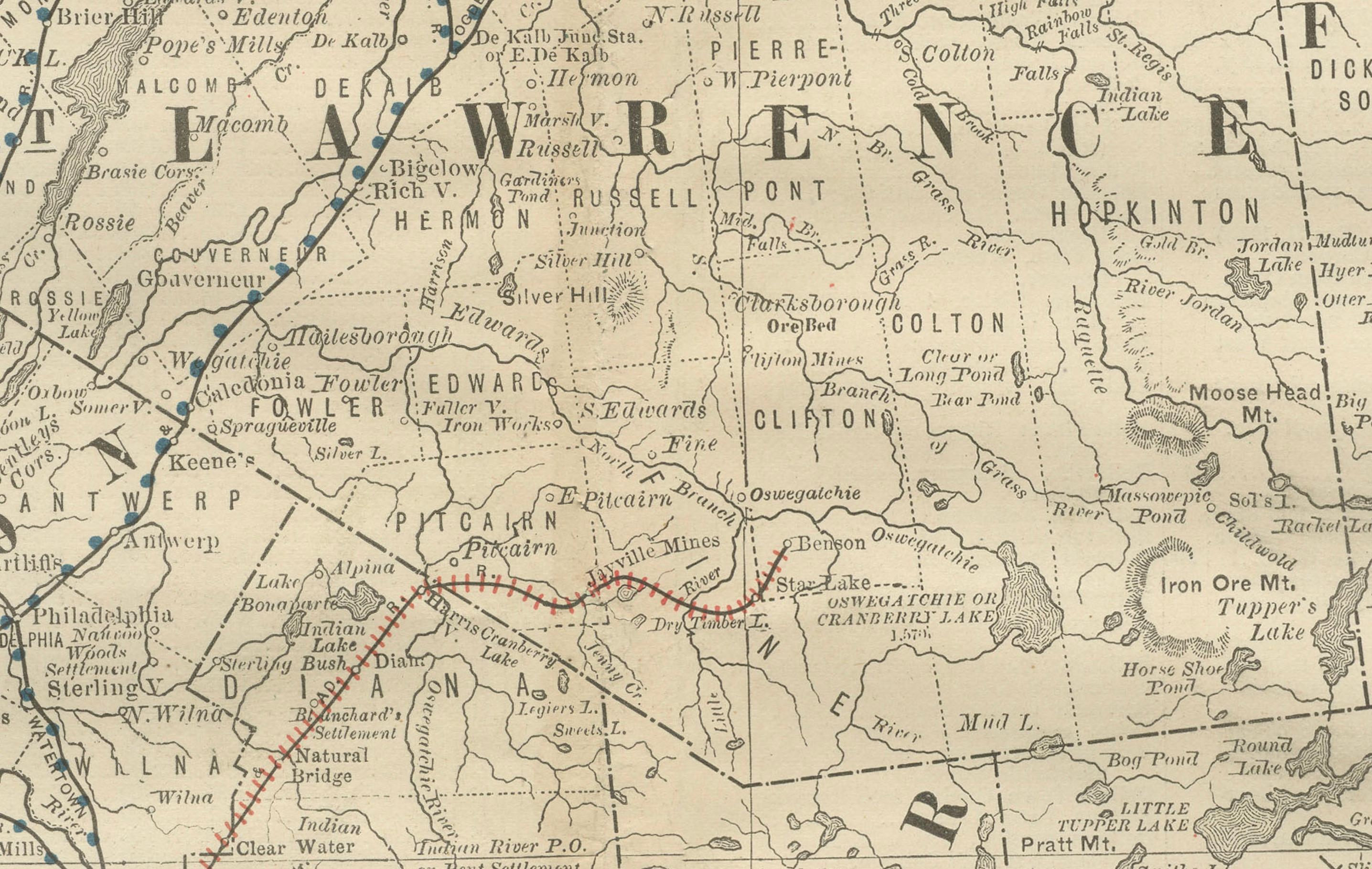
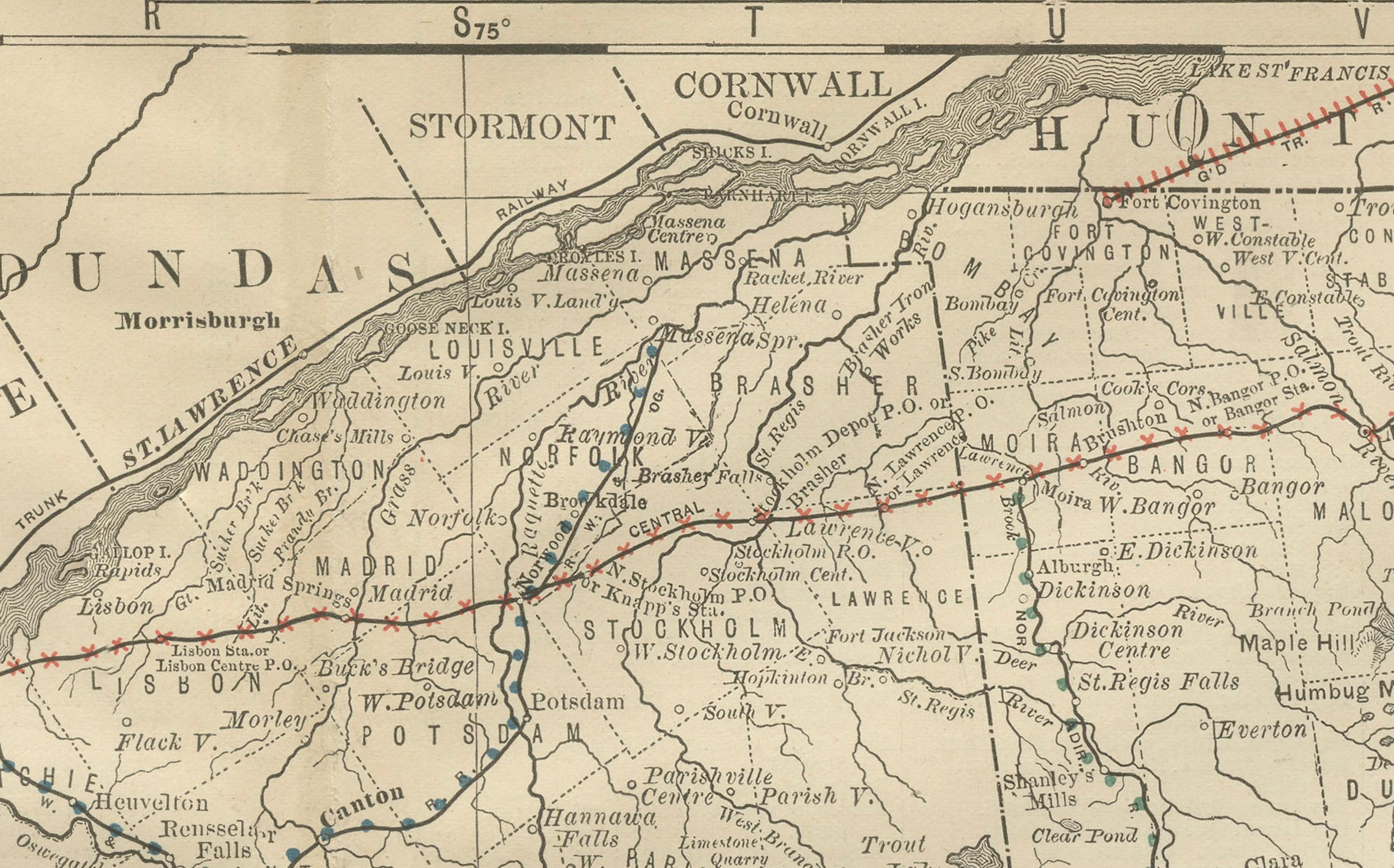
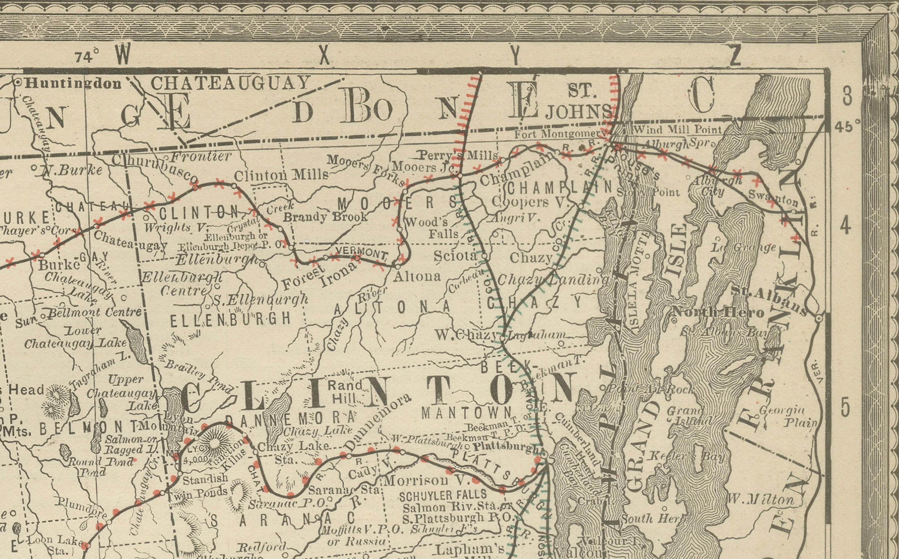
The map highlights counties including St. Lawrence, Franklin, Clinton, Essex, Jefferson, Lewis, and Hamilton. Key towns such as Plattsburgh, Ogdensburg, Watertown, and Malone are clearly marked, alongside smaller communities scattered throughout the rural and mountainous landscape. The Adirondack Mountains are engraved in fine detail, emphasizing the region’s rugged terrain and wilderness.
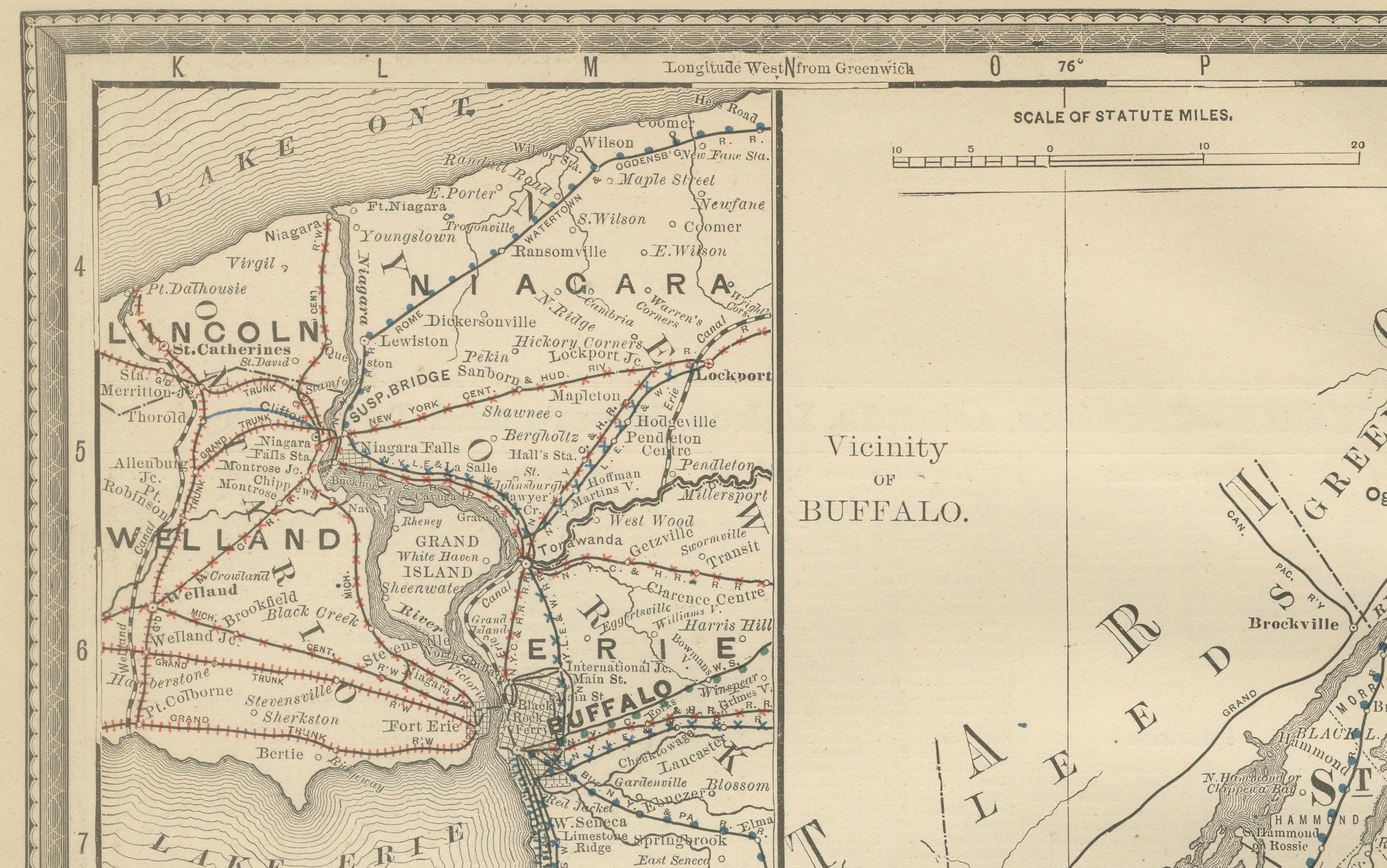
An inset at upper left shows the vicinity of Buffalo and Niagara Falls, including railroads and canal routes that linked the western frontier of New York to Canada and the Great Lakes. This inset provides important context for the region’s economic significance as a transportation hub during the late 19th century.
Railroads, marked in red and blue, stretch across the region, connecting isolated towns to the industrial centers of western New York and beyond. The St. Lawrence River and Lake Ontario are carefully delineated, underscoring the state’s vital geographic links with Canada.
This map is a particularly desirable example of Rand McNally’s cartography, capturing both the wilderness of upstate New York and the industrial connections of its western edge. It holds strong appeal for collectors of New York history, Great Lakes cartography, or Adirondack ephemera.
Condition report:
Good condition with light toning and mild wear along the original center fold. Plate mark visible. Strong impression with crisp detail. Margins clean with only minor handling marks.
Framing tips:
A dark oak or walnut frame with a cream mat would highlight the engraved mountain ranges. A double mat with ivory outer and muted green inner will bring out the Adirondack wilderness while emphasizing the inset of Buffalo and Niagara Falls.
Technique: Lithograph with original outline color
Maker: Rand, McNally & Co., Chicago, circa 1888