Black Friday starts Friday 20 November: up to 30% off, plus free FedEx shipping on qualifying orders →
Orders placed from 15 to 30 November ship from 1 December, in time for Christmas. Our shipping partner: InXpress.
Maps & PrintsBartele Gallery · Langweer

maps-prints.com

✦

Black Friday Sale

Friday 20 to Monday 30 November: up to 30% off original antique maps and prints

Follow your favourite collections

Optional: receive a weekly selection of new arrivals from the collections you love.

You can change your choices or unsubscribe at any time.

The terms

  • Up to 30% off selected original antique maps and prints. Every piece is an original, printed in its own time; none is a reproduction.
  • The sale runs from Friday 20 November to Monday 30 November. Sale prices shown here apply from Friday 20 November; until then pieces are sold at their regular price.
  • Free FedEx shipping on qualifying orders placed on our own websites: USA, Canada, UK and Europe over $500 / €450; rest of the world over $750 / €675. Smaller orders pay our normal shipping rate.
  • Orders placed from 15 to 30 November ship from 1 December, in time for Christmas. Our shipping partner is InXpress.
  • Each piece is unique, so the sale is while stock lasts.

Sale prices apply from Friday 20 November. Save the pieces you like with the heart and come back on Friday.
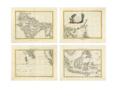
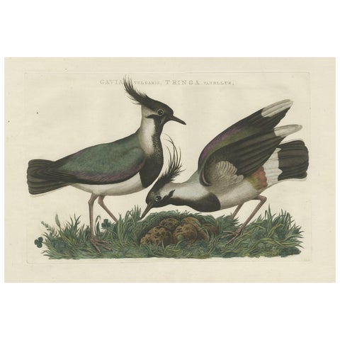
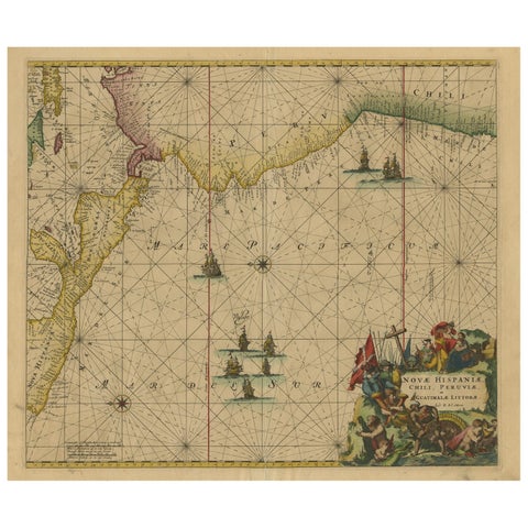
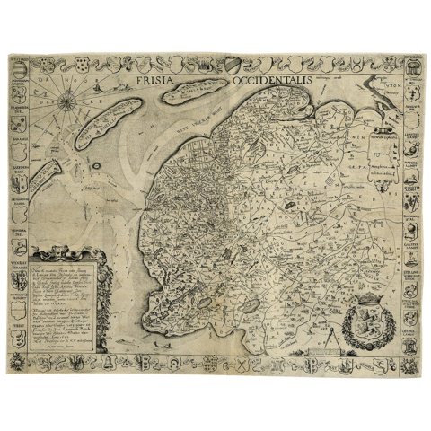
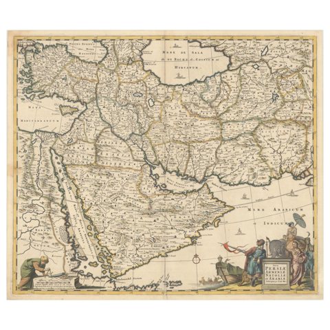
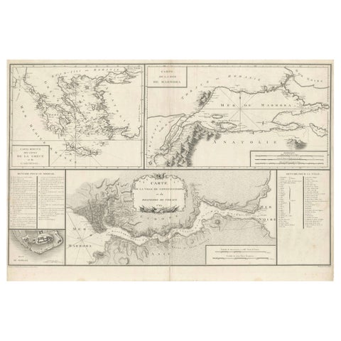
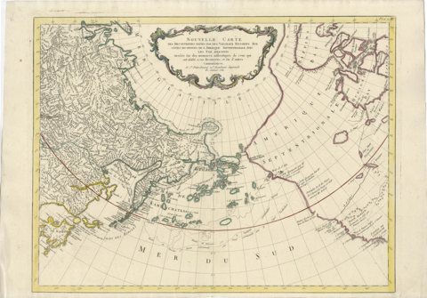
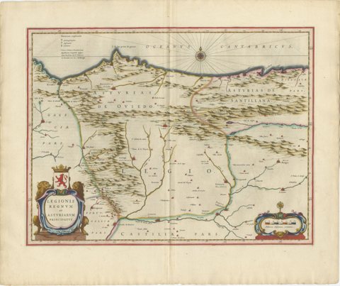
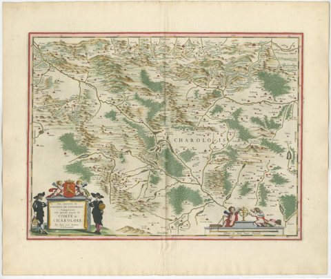
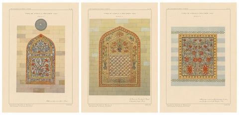
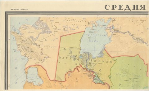
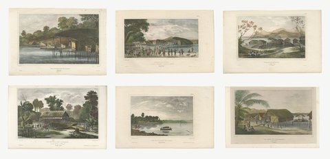
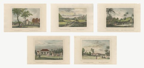
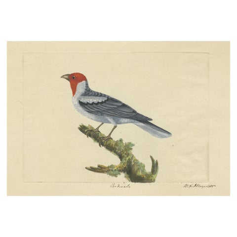
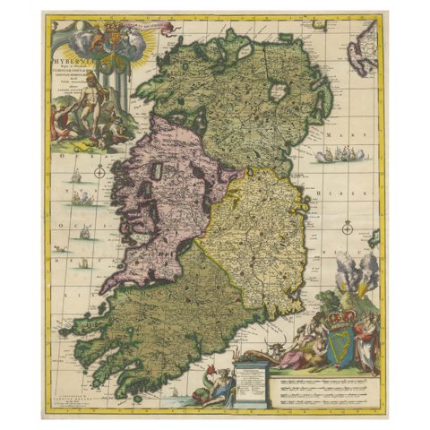
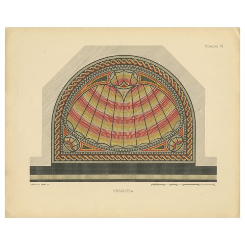
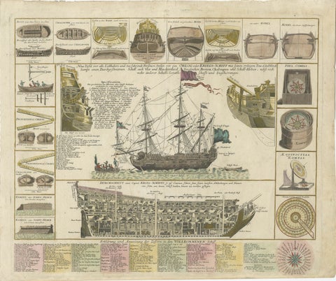
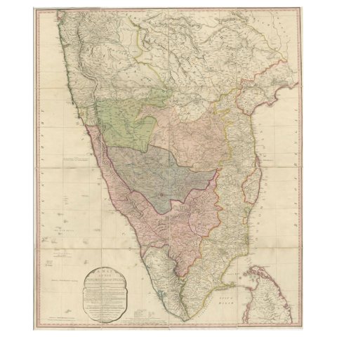
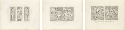
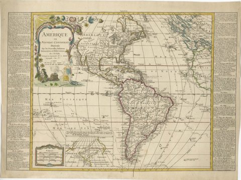
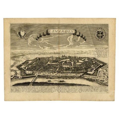
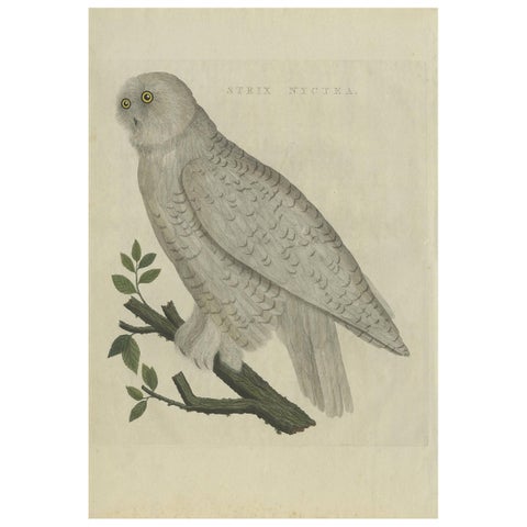
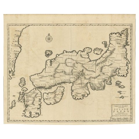
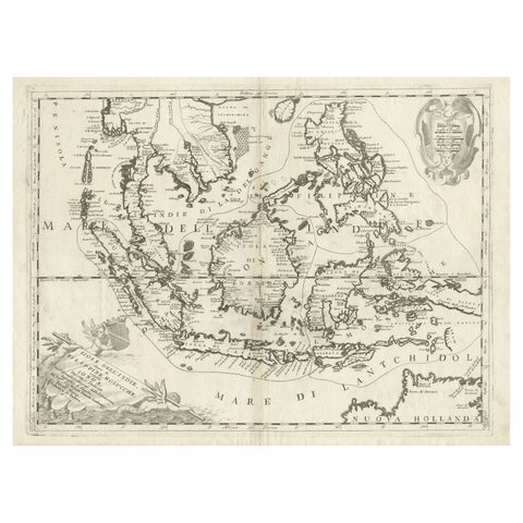
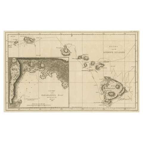
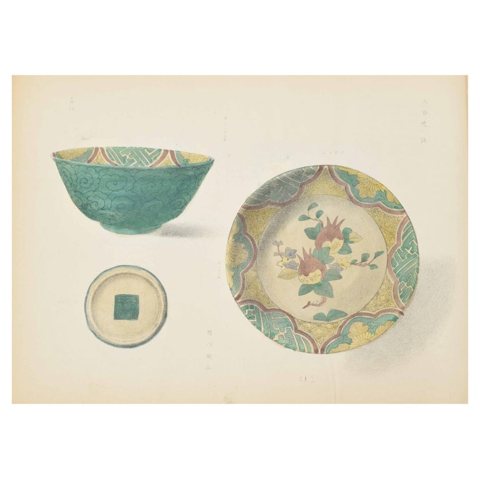
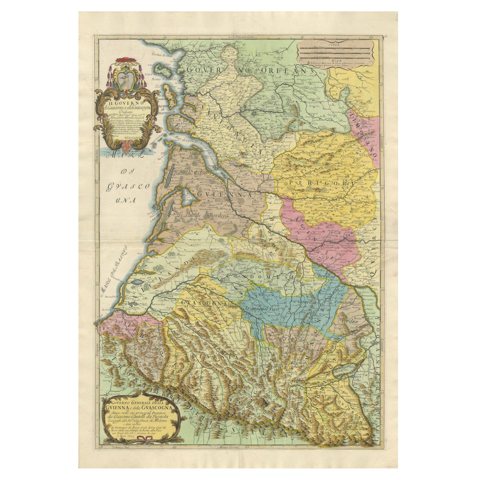
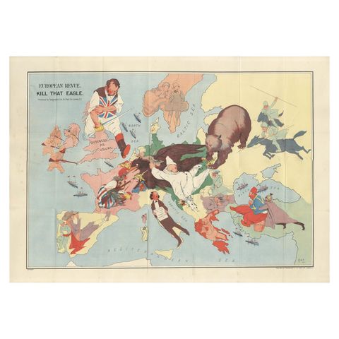
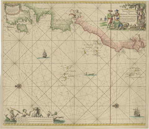
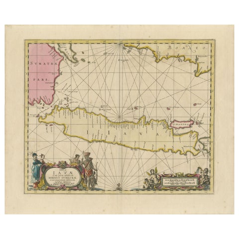
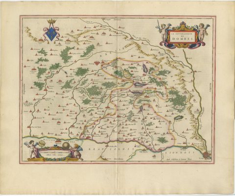
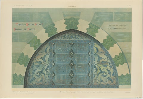
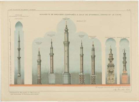
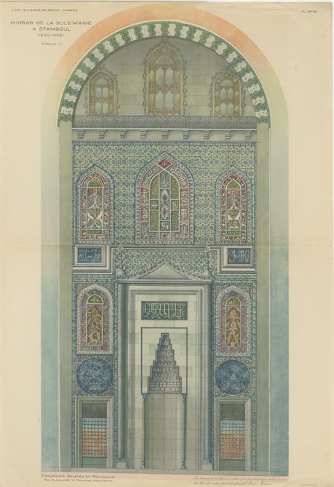
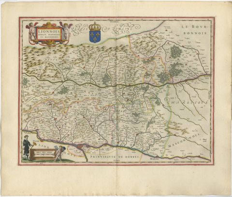
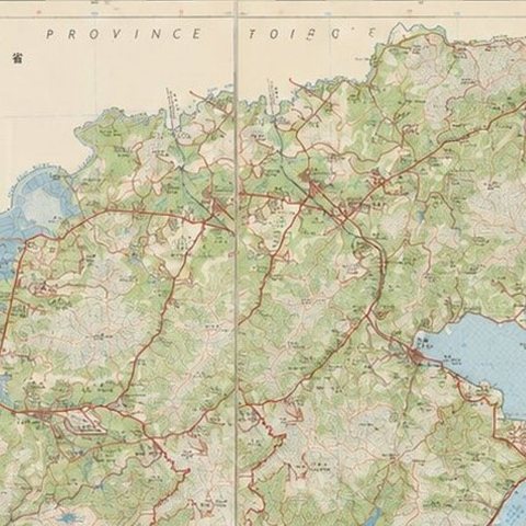
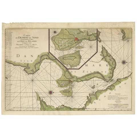
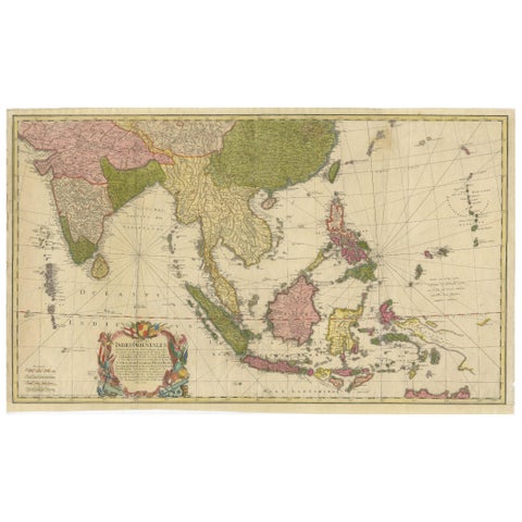
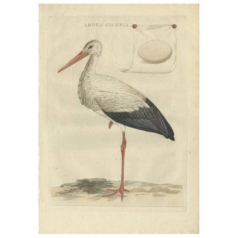
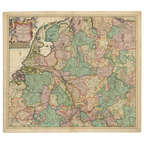
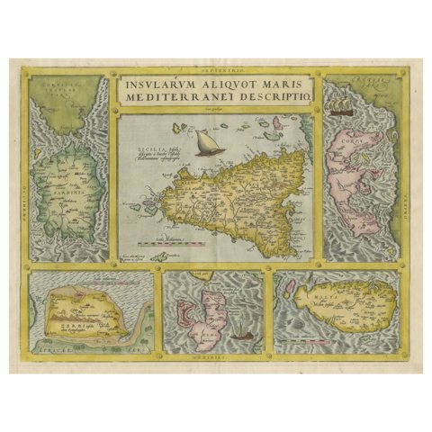
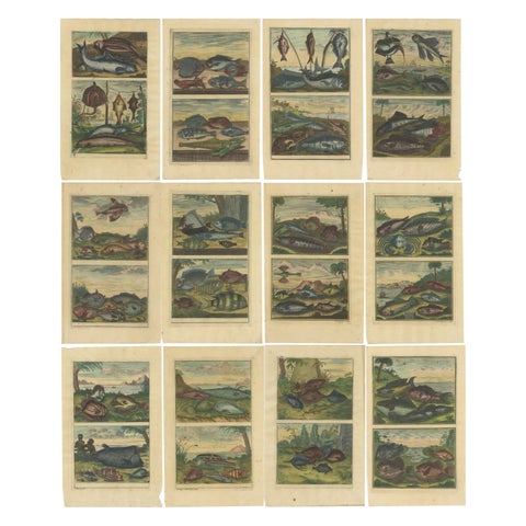
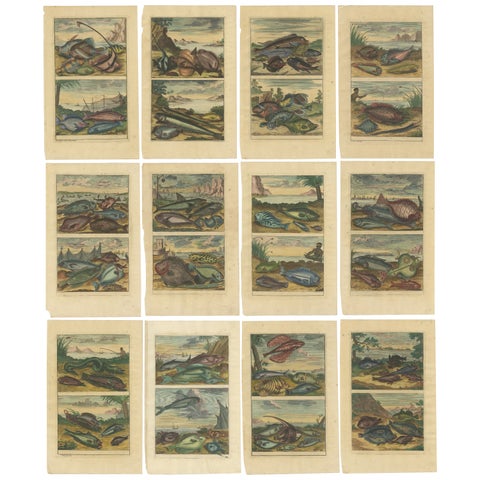
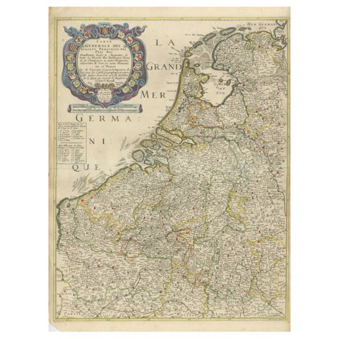
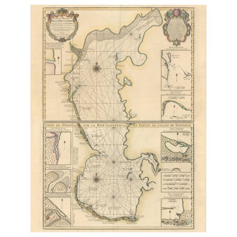
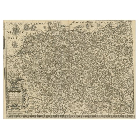
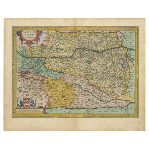
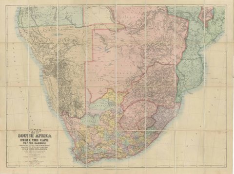
Antique Map Set East Indies – India, Indochina, Indonesia, Zatta 1784Antique Map Set East Indies – India, Indochina, Indonesia, Zatta 1784$2,740 $2,195 20% offfrom Friday 20 NovemberNorthern Lapwing Print – Tringa Vanellus Vulgaris by Nozeman and Sepp, 1770Northern Lapwing Print – Tringa Vanellus Vulgaris by Nozeman and Sepp, 1770$2,690 $2,155 20% offfrom Friday 20 NovemberSea Chart of Central America and the Northwest Coast of South America, ca.1745Sea Chart of Central America and the Northwest Coast of South America, ca.1745$2,690 $2,155 20% offfrom Friday 20 NovemberFrisia Occidentalis, A Rare Antique Engraving of Friesland, The NetherlandsFrisia Occidentalis, A Rare Antique Engraving of Friesland, The Netherlands$2,690 $2,155 20% offfrom Friday 20 NovemberCirca 1691 Frederick de Wit Map: Middle East with Arabia, Persia & MoreCirca 1691 Frederick de Wit Map: Middle East with Arabia, Persia & More$2,690 $2,155 20% offfrom Friday 20 NovemberMap of Constantinople, Bosphorus, the Coasts of Greece and the Archipelago, 1785Map of Constantinople, Bosphorus, the Coasts of Greece and the Archipelago, 1785$2,690 $2,155 20% offfrom Friday 20 NovemberLarge Map of Russian Discoveries in Siberia, Alaska & the Bering Strait, 1784Large Map of Russian Discoveries in Siberia, Alaska & the Bering Strait, 1784$2,690 $2,155 20% offfrom Friday 20 NovemberBlaeu Map of León & Asturias – Legionis Regnum, Antique Spain Chart, 1642Blaeu Map of León & Asturias – Legionis Regnum, Antique Spain Chart, 1642$2,690 $2,155 20% offfrom Friday 20 NovemberCharolais, Burgundy Antique Blaeu Atlas Map of France, 1642Charolais, Burgundy Antique Blaeu Atlas Map of France, 1642$2,690 $2,155 20% offfrom Friday 20 NovemberAntique Ottoman Stained Glass Designs, Yenişehir, Set of Three Plates, 1924Antique Ottoman Stained Glass Designs, Yenişehir, Set of Three Plates, 1924$2,690 $2,155 20% offfrom Friday 20 NovemberLarge Four-Sheet Soviet Map of Central Asia by L. V. Glushkova, 1969Large Four-Sheet Soviet Map of Central Asia by L. V. Glushkova, 1969$2,690 $2,155 20% offfrom Friday 20 NovemberSix Original Hand-Colored Views of Dorey Harbor, New Guinea, de Sainson, 1833Six Original Hand-Colored Views of Dorey Harbor, New Guinea, de Sainson, 1833$2,635 $2,110 20% offfrom Friday 20 NovemberFive Hand-Colored Views of Java and Batavia, van de Velde, circa 1844Five Hand-Colored Views of Java and Batavia, van de Velde, circa 1844$2,635 $2,110 20% offfrom Friday 20 NovemberRed-Crested Cardinal - Antique Hand-Colored Print with William Hayes Sign, 1780Red-Crested Cardinal - Antique Hand-Colored Print with William Hayes Sign, 1780$2,635 $2,110 20% offfrom Friday 20 NovemberHibernia Regnum Map by Carel Allard, 1700: Hand-Colored Provinces of IrelandHibernia Regnum Map by Carel Allard, 1700: Hand-Colored Provinces of Ireland$2,635 $2,110 20% offfrom Friday 20 NovemberMasterpieces of Roman Mosaic Art from Algeria: Rare Color Plates CollectionMasterpieces of Roman Mosaic Art from Algeria: Rare Color Plates Collection$2,635 $2,110 20% offfrom Friday 20 NovemberDetailed 1730 Maritime Warship Print with Tools, Rigging, and Ship Cross-SectionDetailed 1730 Maritime Warship Print with Tools, Rigging, and Ship Cross-Section$2,635 $2,110 20% offfrom Friday 20 NovemberLarge Decorative Colonial-Era Map of South India – Peninsula of India, 1800Large Decorative Colonial-Era Map of South India – Peninsula of India, 1800$2,635 $2,110 20% offfrom Friday 20 NovemberFrench Renaissance Relief Sculptures – Château d’Écouen Engravings, 1803French Renaissance Relief Sculptures – Château d’Écouen Engravings, 1803$2,635 $2,110 20% offfrom Friday 20 NovemberDetailed 1795 Map of the Americas with Exploration Tracks and Nice CartoucheDetailed 1795 Map of the Americas with Exploration Tracks and Nice Cartouche$2,570 $2,055 20% offfrom Friday 20 NovemberLeeuwarden Friesland City View – Antique Engraving by Jollain, c.1670Leeuwarden Friesland City View – Antique Engraving by Jollain, c.1670$2,525 $2,020 20% offfrom Friday 20 NovemberAntique Bird Print of the Snowy Owl by Sepp & Nozeman, 1809Antique Bird Print of the Snowy Owl by Sepp & Nozeman, 1809$2,475 $1,980 20% offfrom Friday 20 NovemberRare Antique Map of Japan with Place Names Given in Dutch Nomenclature, 1726Rare Antique Map of Japan with Place Names Given in Dutch Nomenclature, 1726$2,475 $1,980 20% offfrom Friday 20 NovemberOriginal Antique Map of the Philippines, Malaysia, Indonesia, Singapore, c.1690Original Antique Map of the Philippines, Malaysia, Indonesia, Singapore, c.1690$2,475 $1,980 20% offfrom Friday 20 NovemberMap of the Hawaiian Islands with a Large Inset of Karakakooa Bay, 1803Map of the Hawaiian Islands with a Large Inset of Karakakooa Bay, 1803$2,475 $1,980 20% offfrom Friday 20 NovemberRare Early Set of Japanese Lithography, illustrating Japanese Ceramic Art, 1878Rare Early Set of Japanese Lithography, illustrating Japanese Ceramic Art, 1878$2,475 $1,980 20% offfrom Friday 20 NovemberLarge 1695 Hand-Colored Engraved Map of Gascony (Gascogna), FranceLarge 1695 Hand-Colored Engraved Map of Gascony (Gascogna), France$2,475 $1,980 20% offfrom Friday 20 NovemberWWI Satirical Cartoon Map: 'Kill That Eagle' by J.H. Amschewitz, 1914WWI Satirical Cartoon Map: 'Kill That Eagle' by J.H. Amschewitz, 1914$2,475 $1,980 20% offfrom Friday 20 November1717 Johannes Van Keulen Sea Chart of the Eastern Atlantic - Amsterdam to Gambia1717 Johannes Van Keulen Sea Chart of the Eastern Atlantic - Amsterdam to Gambia$2,475 $1,980 20% offfrom Friday 20 NovemberAntique Map of Java, Sumatra & Borneo – Dutch East Indies Sea Chart c.1700Antique Map of Java, Sumatra & Borneo – Dutch East Indies Sea Chart c.1700$2,475 $1,980 20% offfrom Friday 20 NovemberBlaeu's Dombes, Lyonnais and Bresse, France – Original 1642 MapBlaeu's Dombes, Lyonnais and Bresse, France – Original 1642 Map$2,475 $1,980 20% offfrom Friday 20 NovemberAntique Ottoman Iznik Tympanum Print, Tomb of Sultan Selim II, Istanbul, 1924Antique Ottoman Iznik Tympanum Print, Tomb of Sultan Selim II, Istanbul, 1924$2,475 $1,980 20% offfrom Friday 20 NovemberAntique Comparative Minarets Print, Bursa, Istanbul, Damascus & Cairo, 1924Antique Comparative Minarets Print, Bursa, Istanbul, Damascus & Cairo, 1924$2,475 $1,980 20% offfrom Friday 20 NovemberOriginal 1924 Ottoman Print – Mihrab of the Süleymaniye Mosque, IstanbulOriginal 1924 Ottoman Print – Mihrab of the Süleymaniye Mosque, Istanbul$2,475 $1,980 20% offfrom Friday 20 NovemberAntique Blaeu Map of Lyonnais, Forez, Beaujolais & Mâconnais, 1642Antique Blaeu Map of Lyonnais, Forez, Beaujolais & Mâconnais, 1642$2,475 $1,980 20% offfrom Friday 20 NovemberLarge Two-Sheet Map of Hong Kong, Kowloon and the New Territories, 1975Large Two-Sheet Map of Hong Kong, Kowloon and the New Territories, 1975$2,475 $1,980 20% offfrom Friday 20 NovemberAntique Map: Carte du Détroit du Sond with Copenhagen Inset, 1693Antique Map: Carte du Détroit du Sond with Copenhagen Inset, 1693$2,475 $1,980 20% offfrom Friday 20 NovemberRare 18th-Century Hand-Colored Map of Southeast Asia and the East Indies, 1748Rare 18th-Century Hand-Colored Map of Southeast Asia and the East Indies, 1748$2,460 $1,970 20% offfrom Friday 20 NovemberWhite Stork – Large 18th Century Ornithology Print by Sepp & Nozeman, 1789White Stork – Large 18th Century Ornithology Print by Sepp & Nozeman, 1789$2,420 $1,935 20% offfrom Friday 20 NovemberRare Theodore Danckerts Map of the Lower Rhine and Moselle River RegionsRare Theodore Danckerts Map of the Lower Rhine and Moselle River Regions$2,420 $1,935 20% offfrom Friday 20 NovemberAntique Map of Sicily, Sardinia, Corfu, Elba, Malta and Zerbi (Jerba), c.1579Antique Map of Sicily, Sardinia, Corfu, Elba, Malta and Zerbi (Jerba), c.1579$2,420 $1,935 20% offfrom Friday 20 NovemberSet of 12 Colored Antique Prints of Various Fishes and CrustaceansSet of 12 Colored Antique Prints of Various Fishes and Crustaceans$2,420 $1,935 20% offfrom Friday 20 NovemberSet of 12 Colored Antique Prints of various Fish species and other Marine LifeSet of 12 Colored Antique Prints of various Fish species and other Marine Life$2,420 $1,935 20% offfrom Friday 20 NovemberRare and Early Map of the Seventeen Provinces, Published in circa 1640Rare and Early Map of the Seventeen Provinces, Published in circa 1640$2,420 $1,935 20% offfrom Friday 20 NovemberFabulous Original Antique two-sheet Map of the Caspian Sea, ca.1723Fabulous Original Antique two-sheet Map of the Caspian Sea, ca.1723$2,420 $1,935 20% offfrom Friday 20 NovemberAntique Map of the German Empire with decorative Title CartoucheAntique Map of the German Empire with decorative Title Cartouche$2,420 $1,935 20% offfrom Friday 20 NovemberAustria by Wolfgang Lazius – A Magnificent 16th-Century Map from Ortelius, 1592Austria by Wolfgang Lazius – A Magnificent 16th-Century Map from Ortelius, 1592$2,420 $1,935 20% offfrom Friday 20 NovemberSouth Africa c.1890 Antique Folding Map – Cape Colony to Zambesi RiverSouth Africa c.1890 Antique Folding Map – Cape Colony to Zambesi River$2,420 $1,935 20% offfrom Friday 20 November

Sharing the sale? Download the Black Friday banners.

Your favorites

Saved in this browser. Email the list to yourself to keep it on any device.

We use your email to send this list and, only if you tick the box and confirm, for occasional new arrivals. Every email has an unsubscribe link. Bartele Gallery, the Netherlands.

Powered by SiteKeys