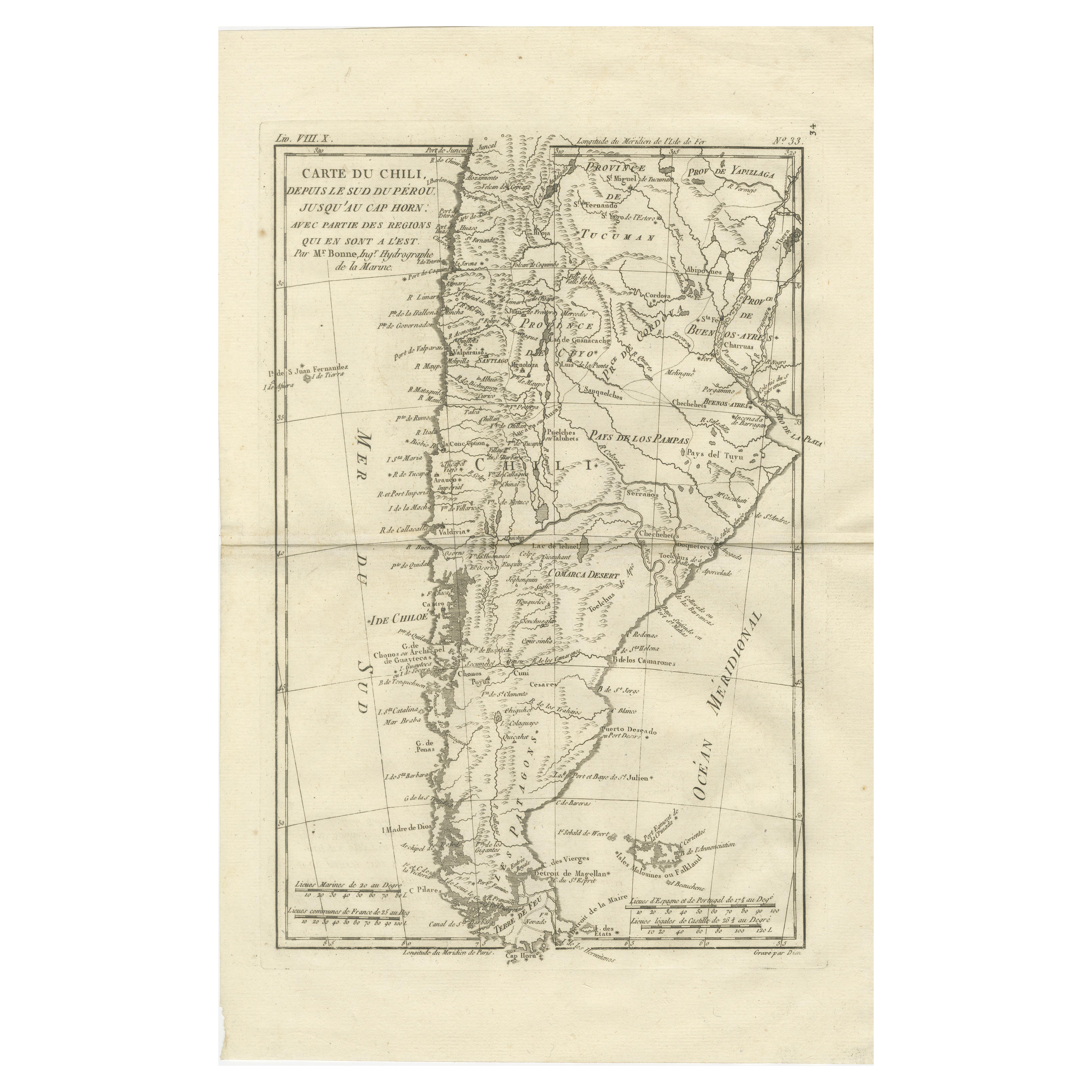
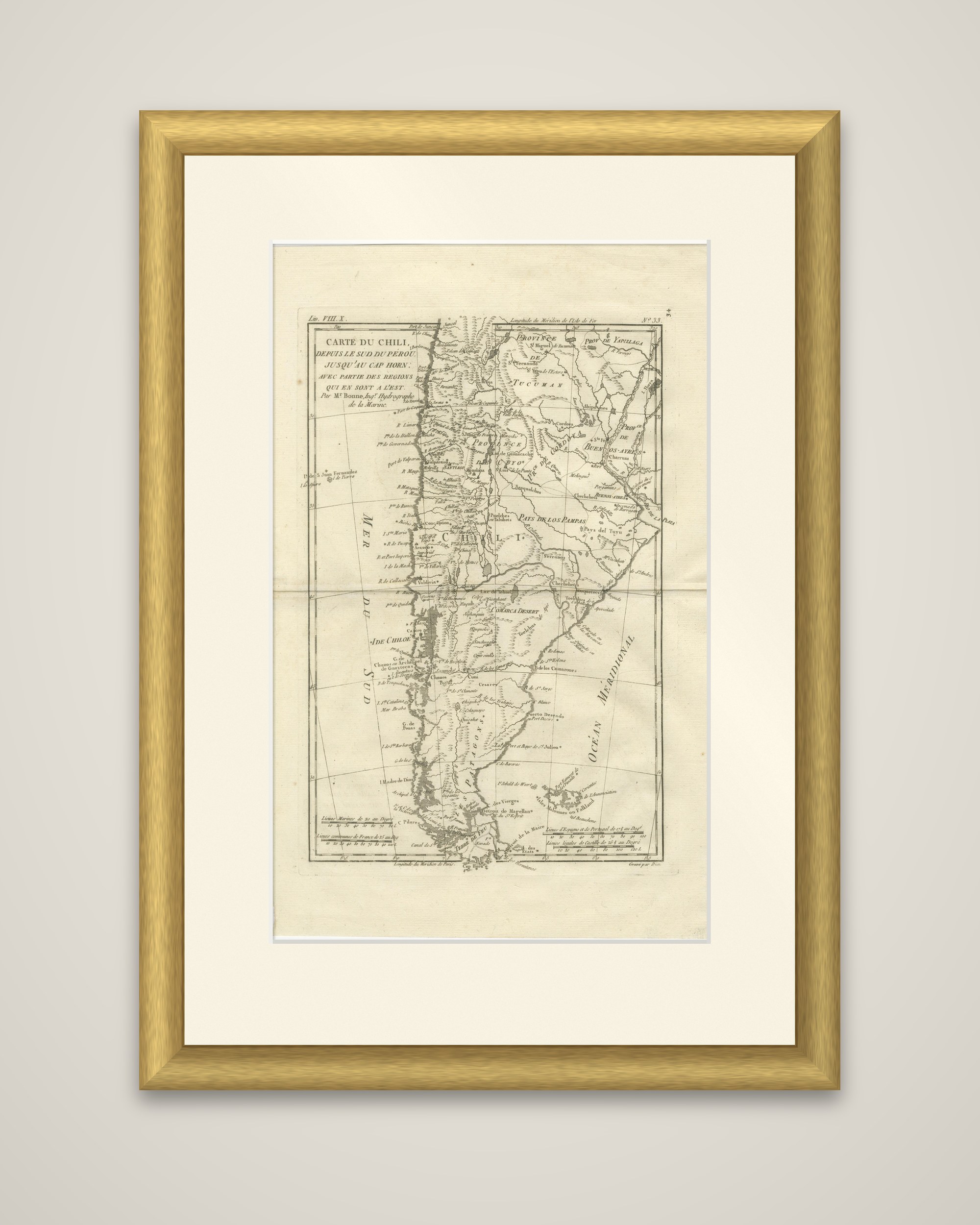
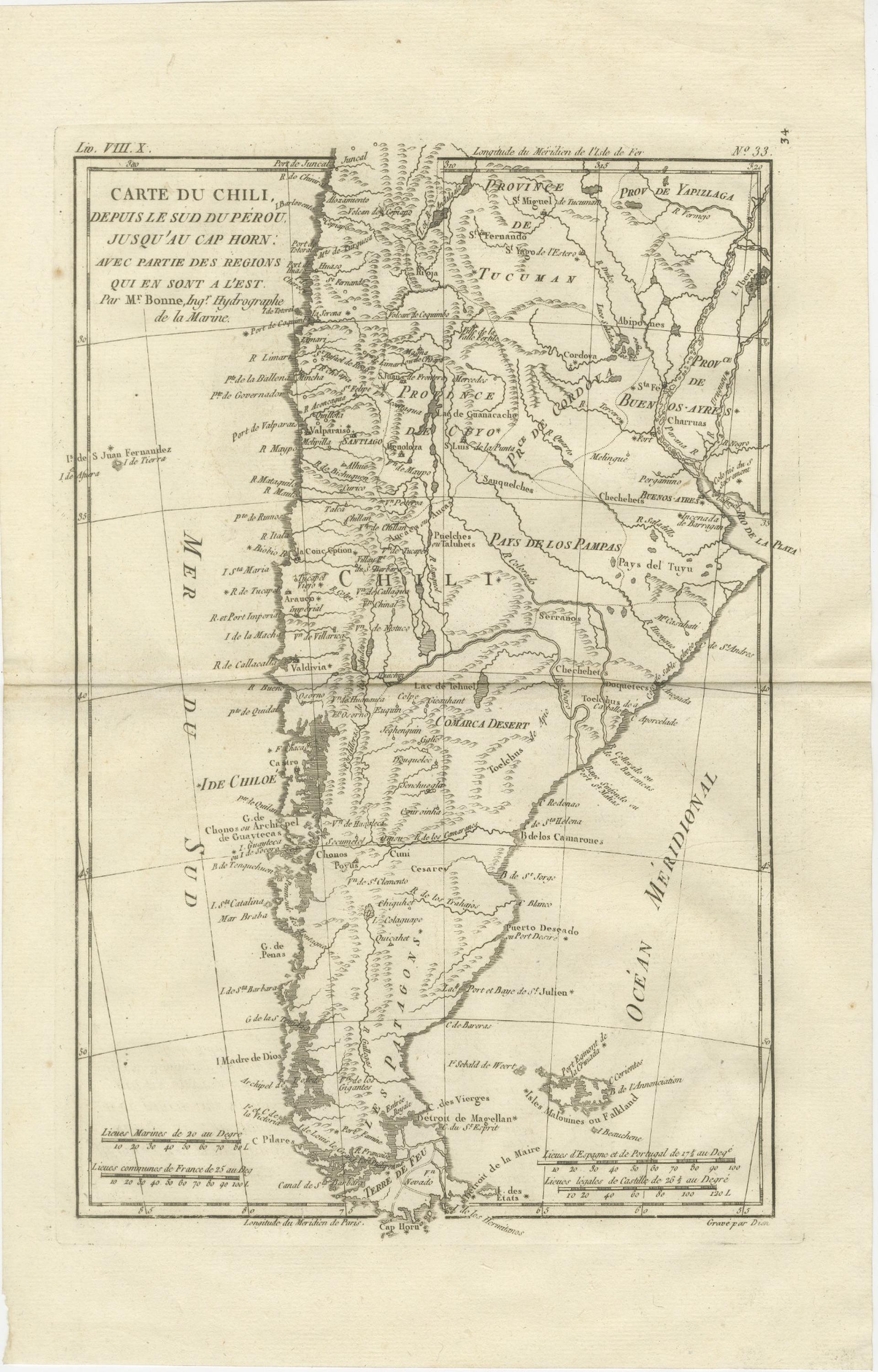
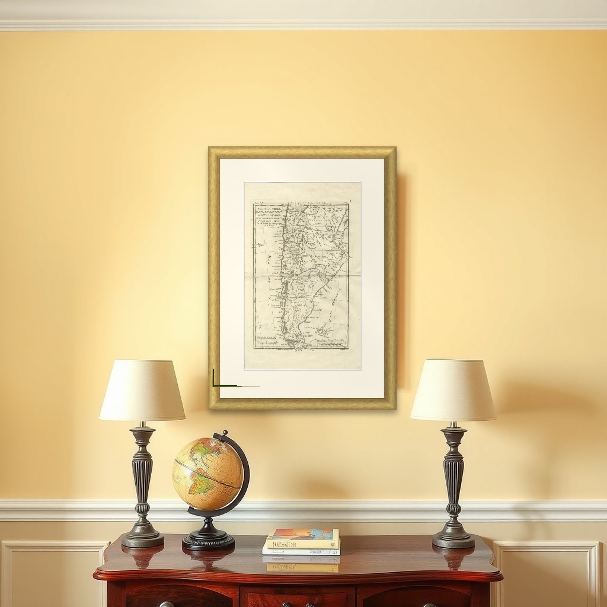
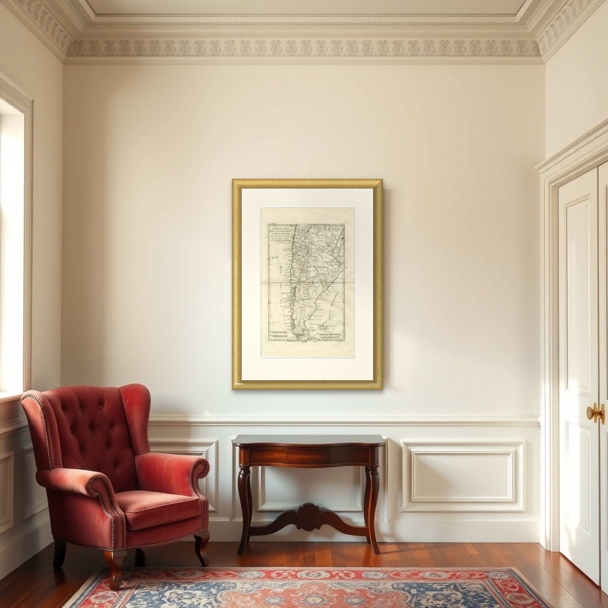
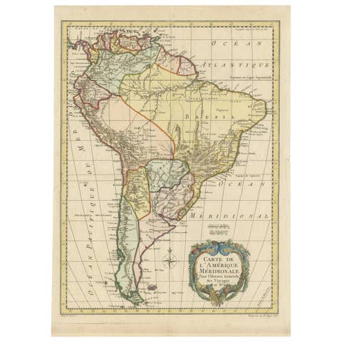
Chile from Peru to Cape Horn – Enlightenment Map by Rigobert Bonne, c.1780
€ 460
Original antique · The actual sheet photographed · Certificate of authenticity on request · Sold unframed · Worldwide shipping from € 15 (rates)
Date
1780
Sheet size
41 × 26 cm (16.1 × 10.2 in)
Condition
Good
Reference
BG-14105-34
What the condition grades mean
Excellent
Bright and clean, with no faults worth mentioning.
Very good
Only light signs of age, such as faint toning.
Good
Normal signs of age for a sheet of this period: toning, some foxing, small marks or neat old repairs.
Fair
Clear faults such as staining, tears or repairs, priced to match.
Every fault we see is written in the condition note, and the whole sheet is shown uncropped in the photos.
Condition
Good antique condition. Light age toning and minor handling wear consistent with 18th-century copperplate engraving. Original centerfold as issued. Clean impression with strong legibility; margins ample for framing.
About this sheet
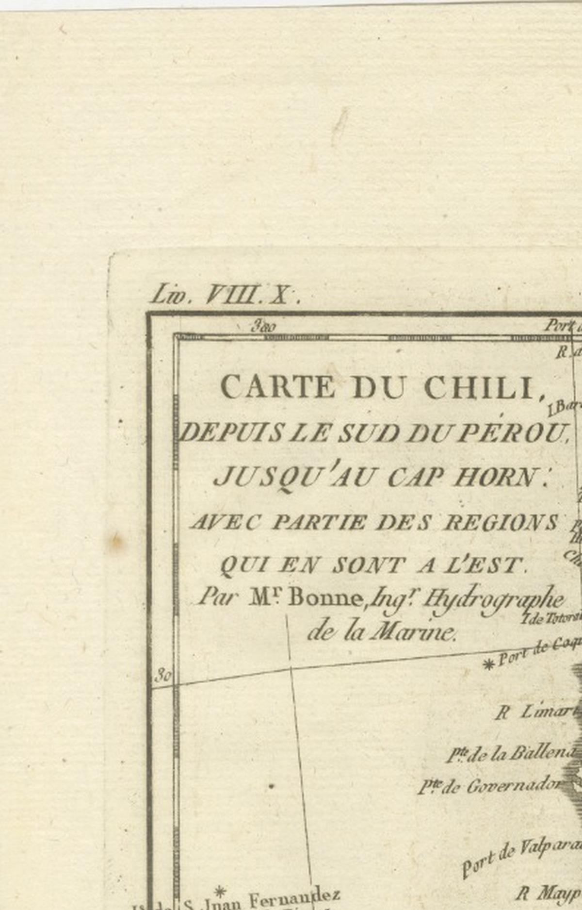
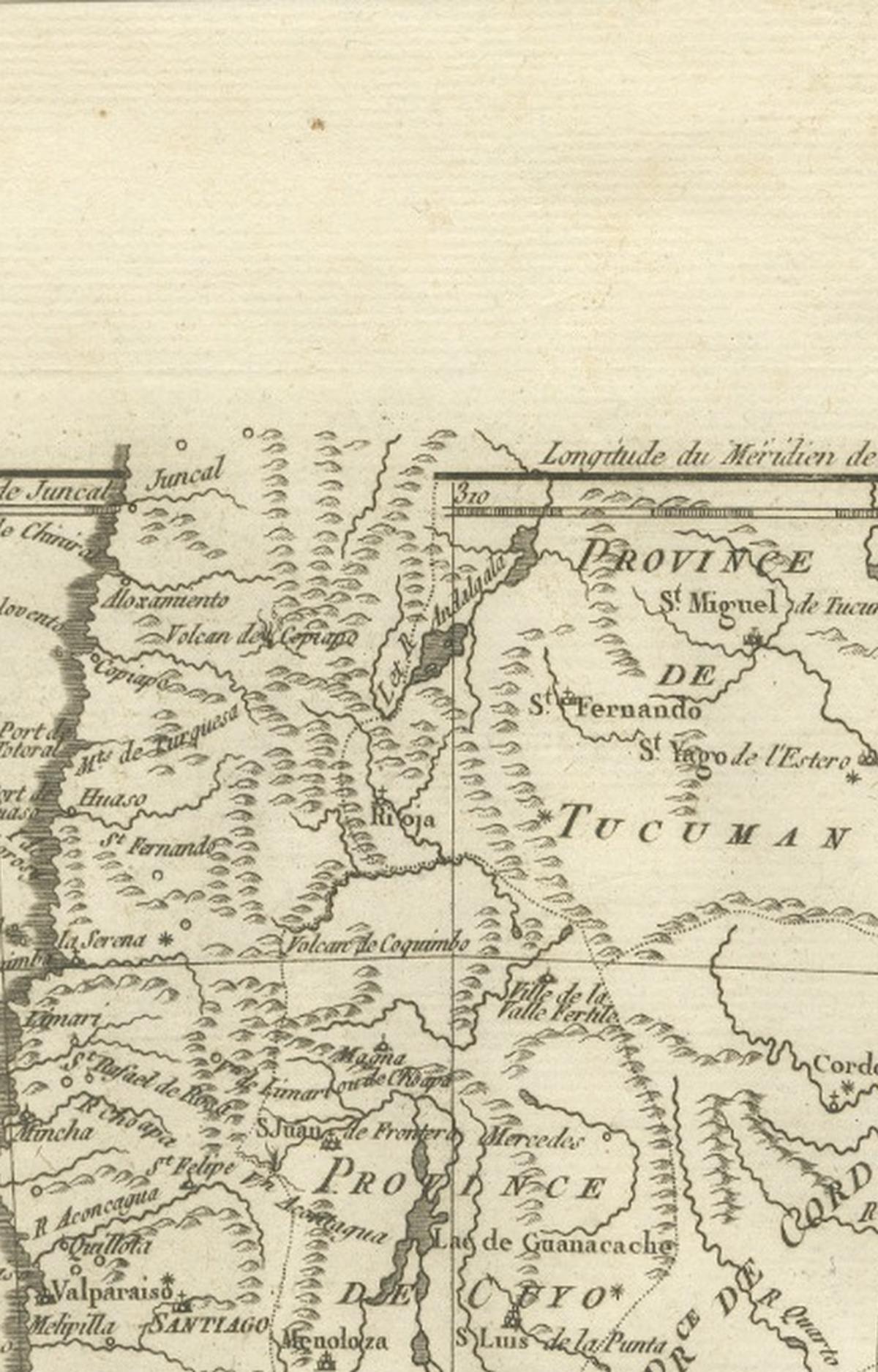
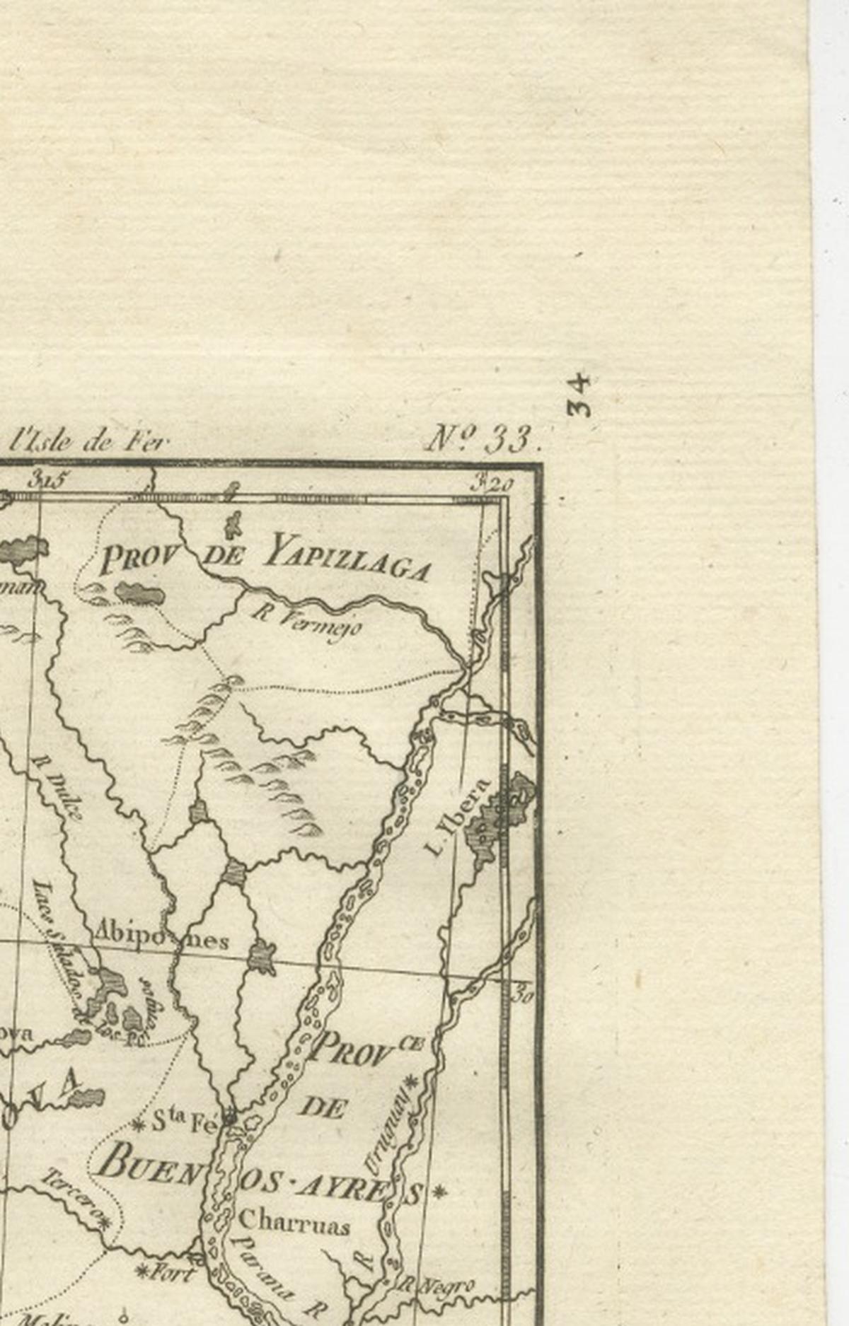
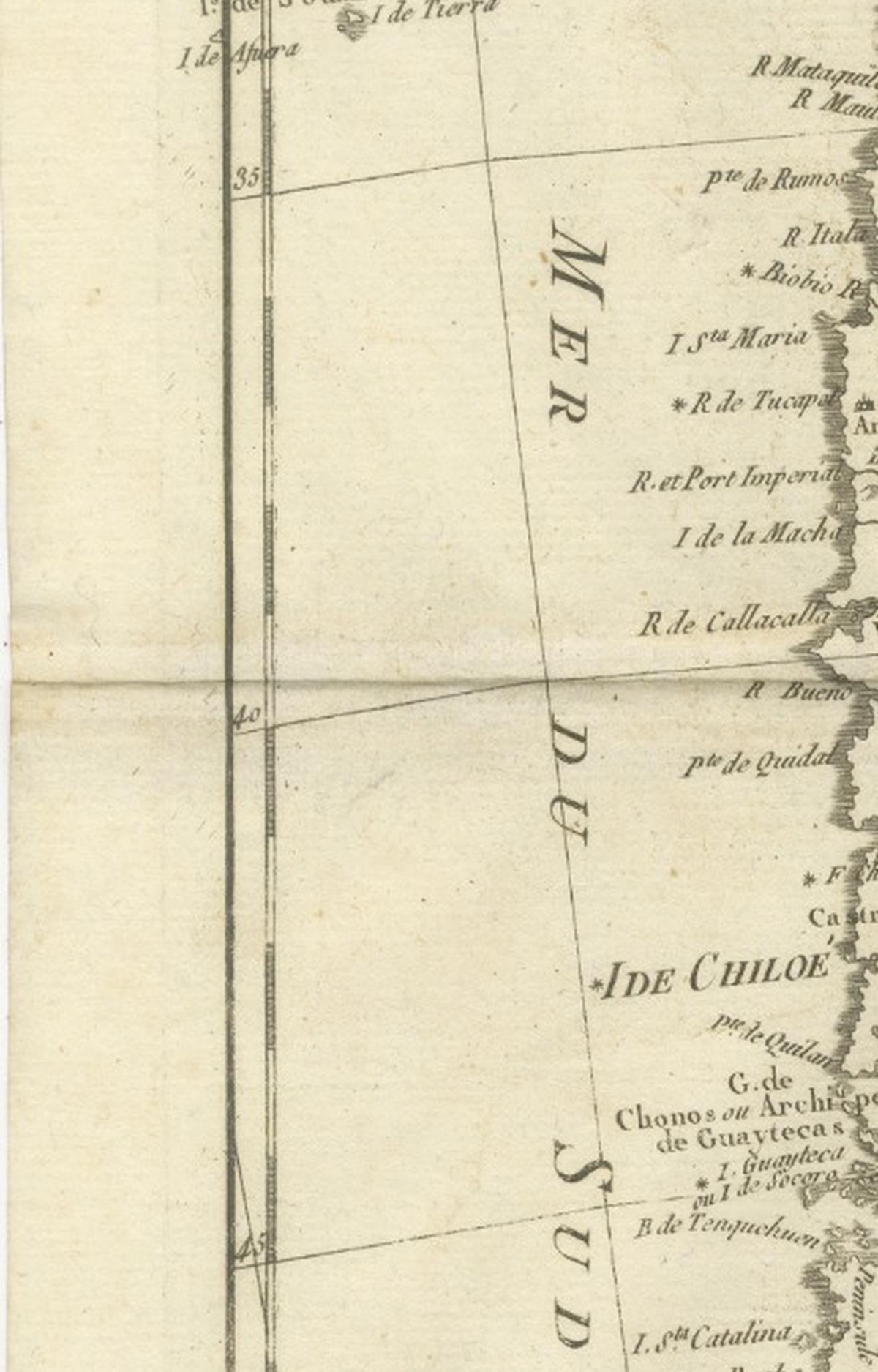
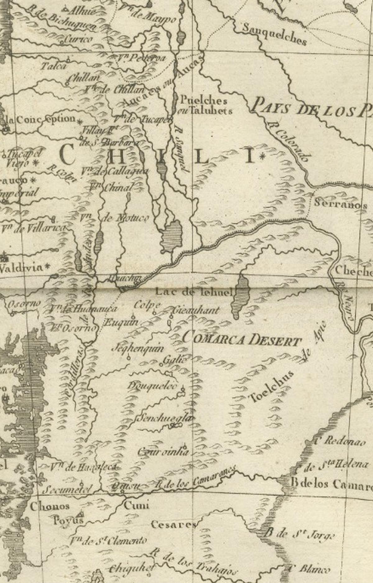
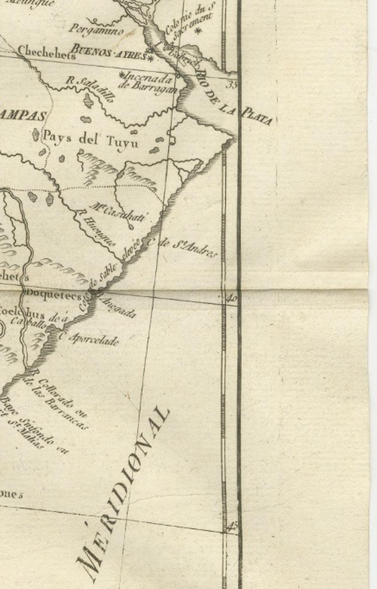
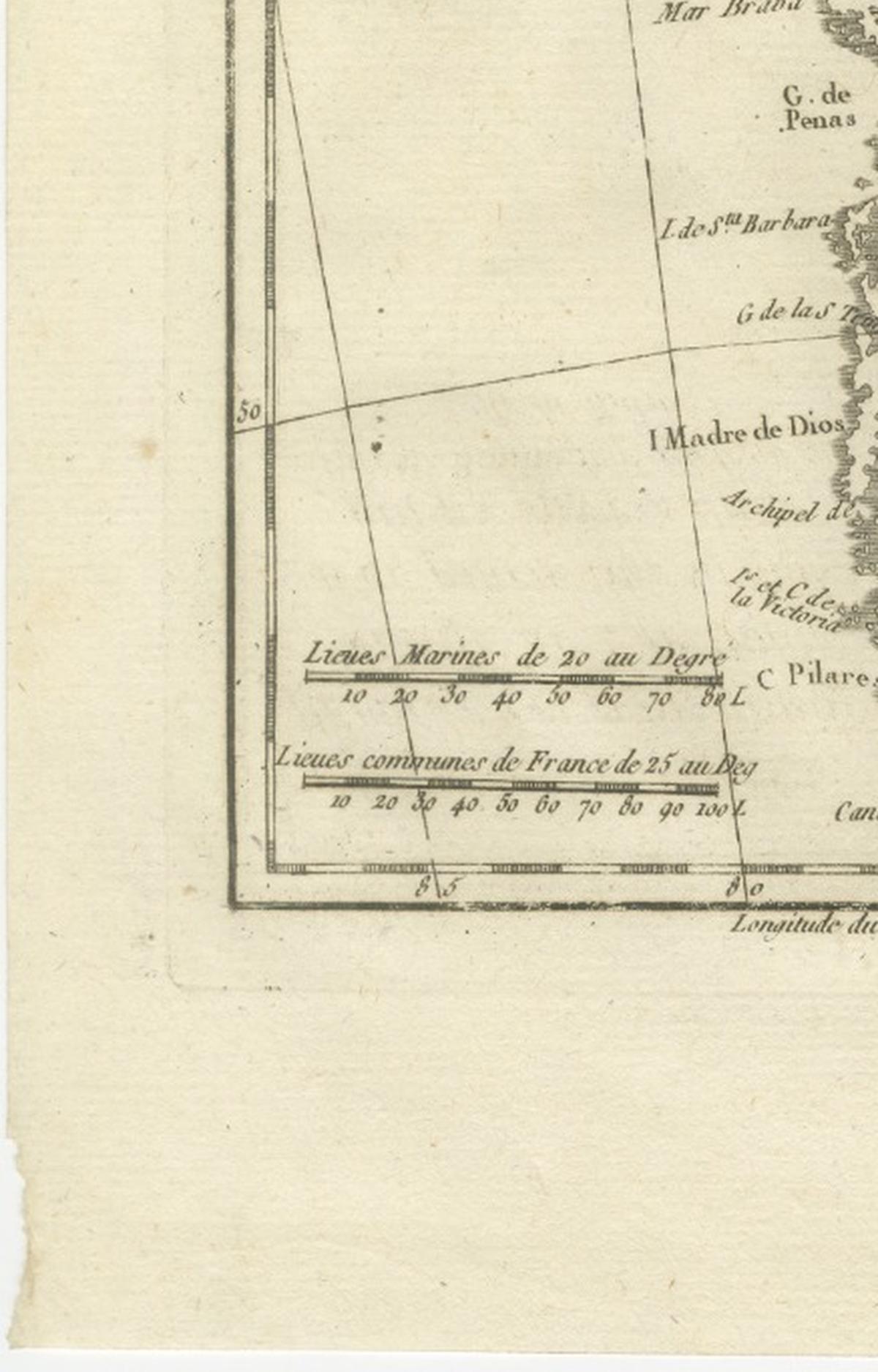
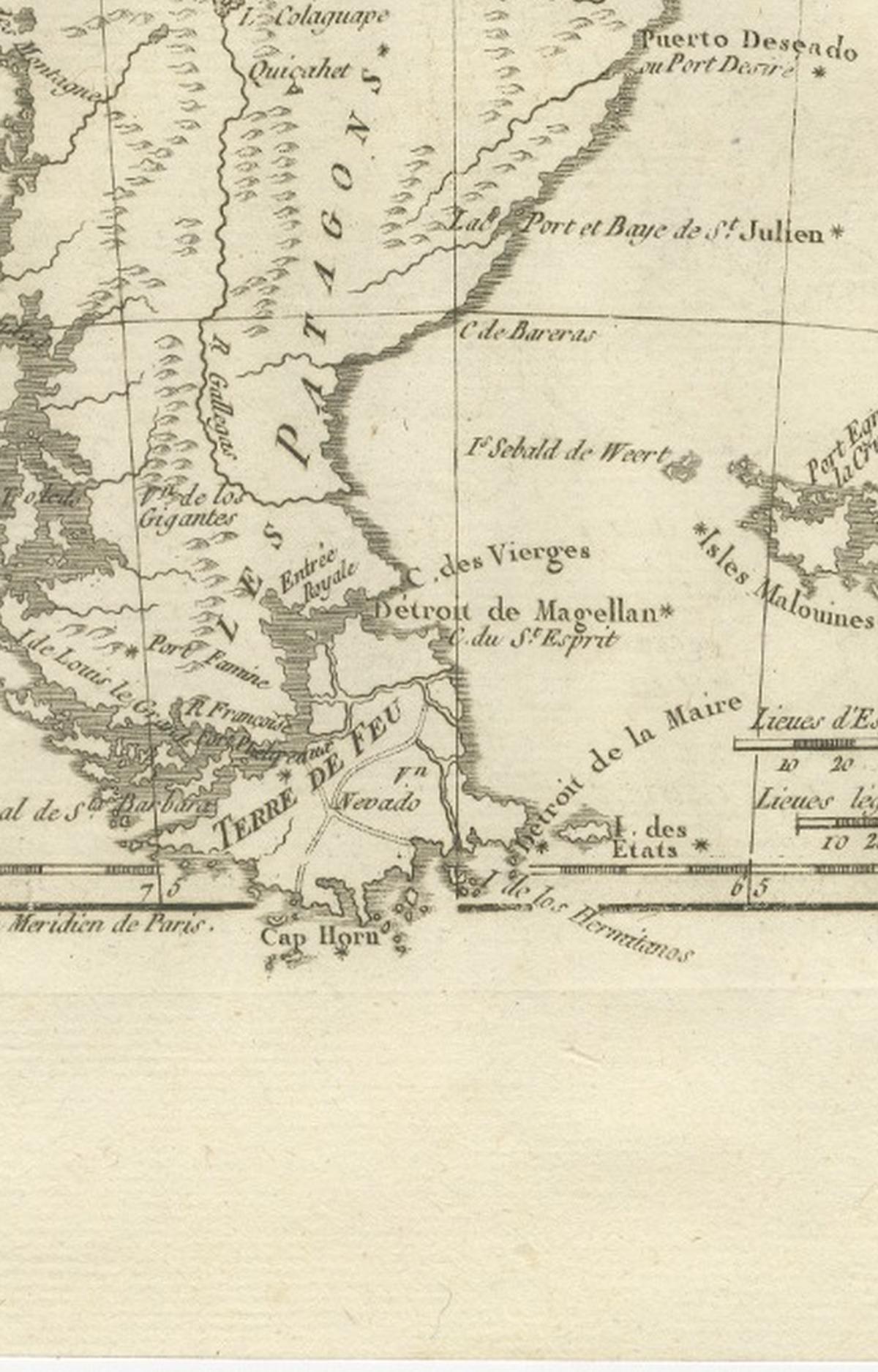
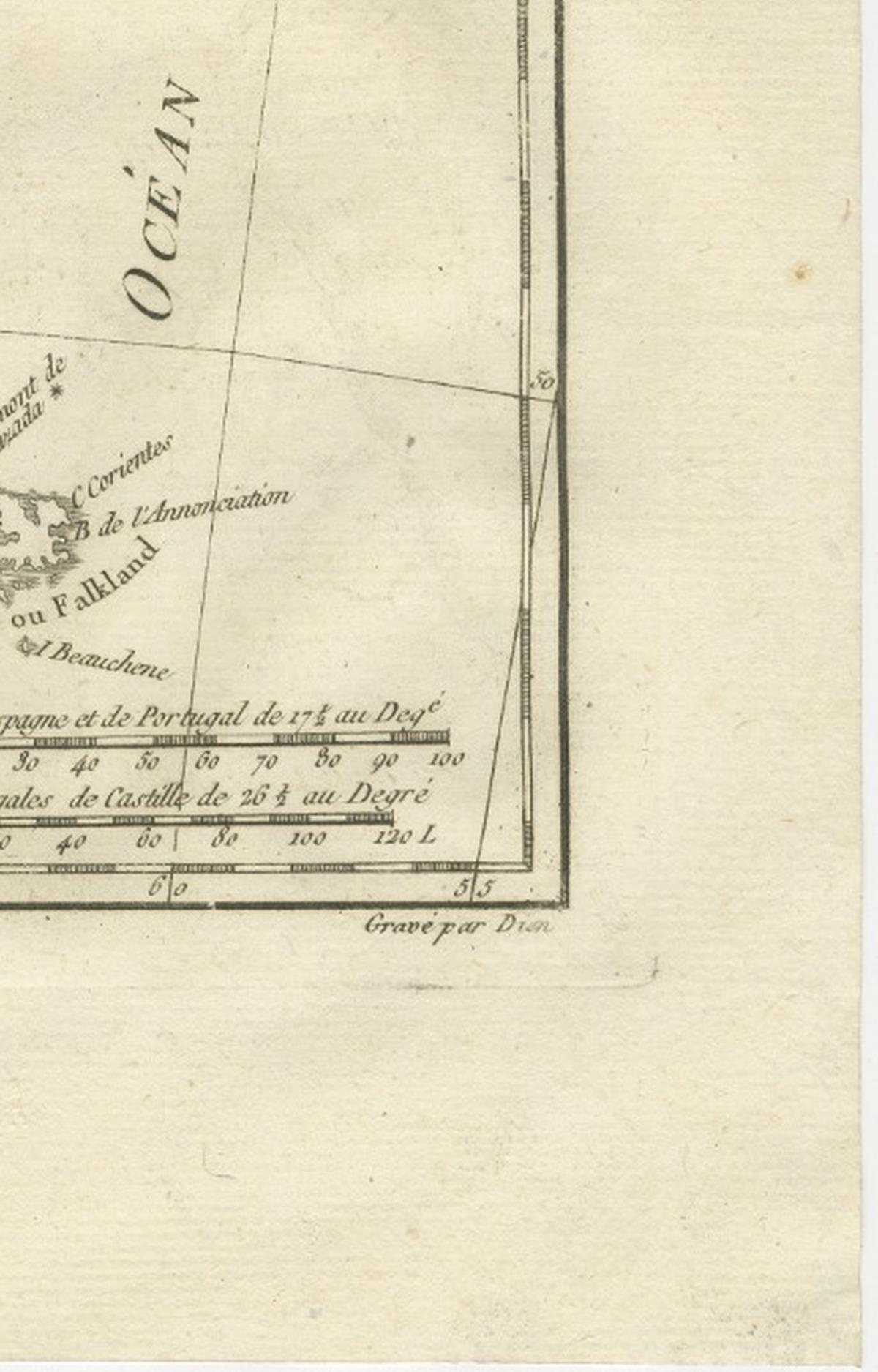
Chile and the southern cone in a copper engraving by Rigobert Bonne, circa 1780, titled "Carte du Chili, depuis le Sud du Pérou jusqu'au Cap Horn, avec Partie des Régions qui en sont à l'Est," credited "Par Mr. Bonne, Ingénieur Hydrographe de la Marine." The sheet is printed in black without color.
The tall, narrow sheet follows the Pacific coast ("Mer du Sud") from southern Peru to the tip of the continent, with the island of Chiloé, the Juan Fernández islands and the Strait of Magellan engraved along the way. "Chili" is lettered in the center and Patagonia to the south. East of the Andes the map takes in the provinces of Tucumán and Buenos Aires and the "Pays des Pampas," and the Atlantic is lettered "Océan Méridional." Islands in the south Atlantic appear at the lower right, and scale bars for marine leagues, Spanish and Castilian leagues and common French leagues are placed at the foot.
Bonne was hydrographer to the French navy at the Dépôt de la Marine in Paris, succeeding Jacques-Nicolas Bellin, and this sheet is one of the regional South American maps of the Bonne series. It shows the Spanish colony of Chile, a narrow strip between the Andes and the Pacific, with the vast and still largely unmapped plains of the Pampas and Patagonia to the east.