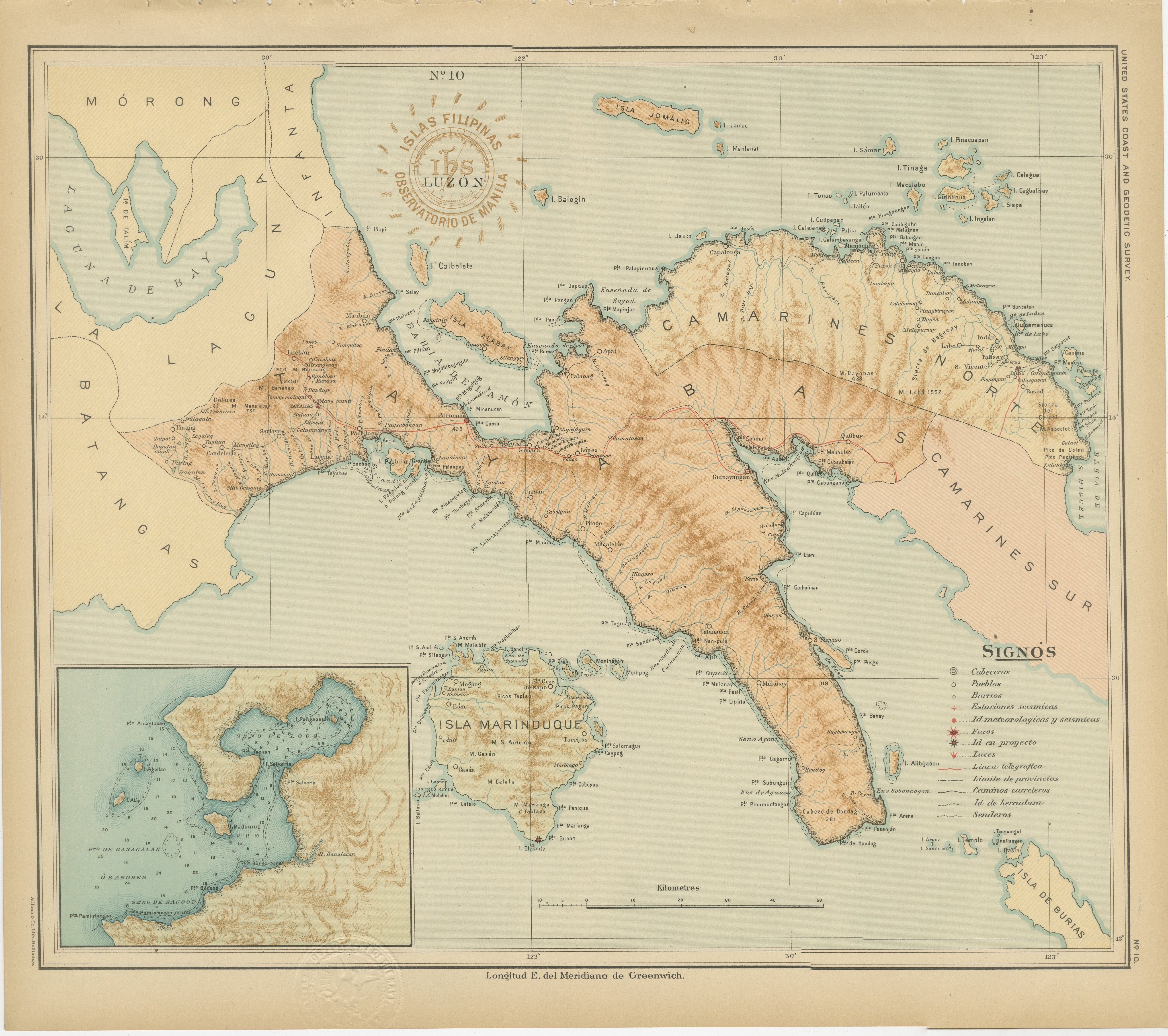
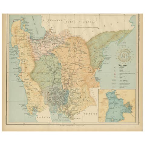
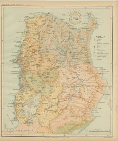
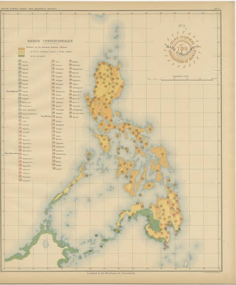
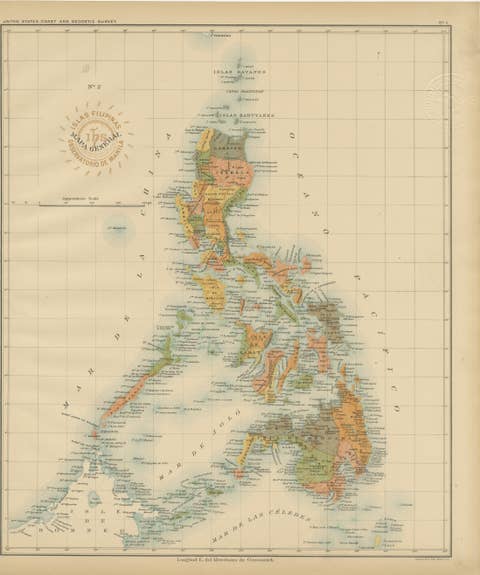
Map of Southern Luzon and Camarines Provinces – Observatorio de Manila, 1899
€ 460
One of a kind: this is the sheet in the photographs. Ships from Langweer, the Netherlands.
Date
1899
Sheet size
32.5 × 37 cm (12.8 × 14.6 in)
Condition
Excellent
Reference
BG-12176-10
Condition
with strong original color and minimal toning to the wide margins. The paper is clean and supple, with crisp impressions of both embossed and inked institutional seals.
About this sheet
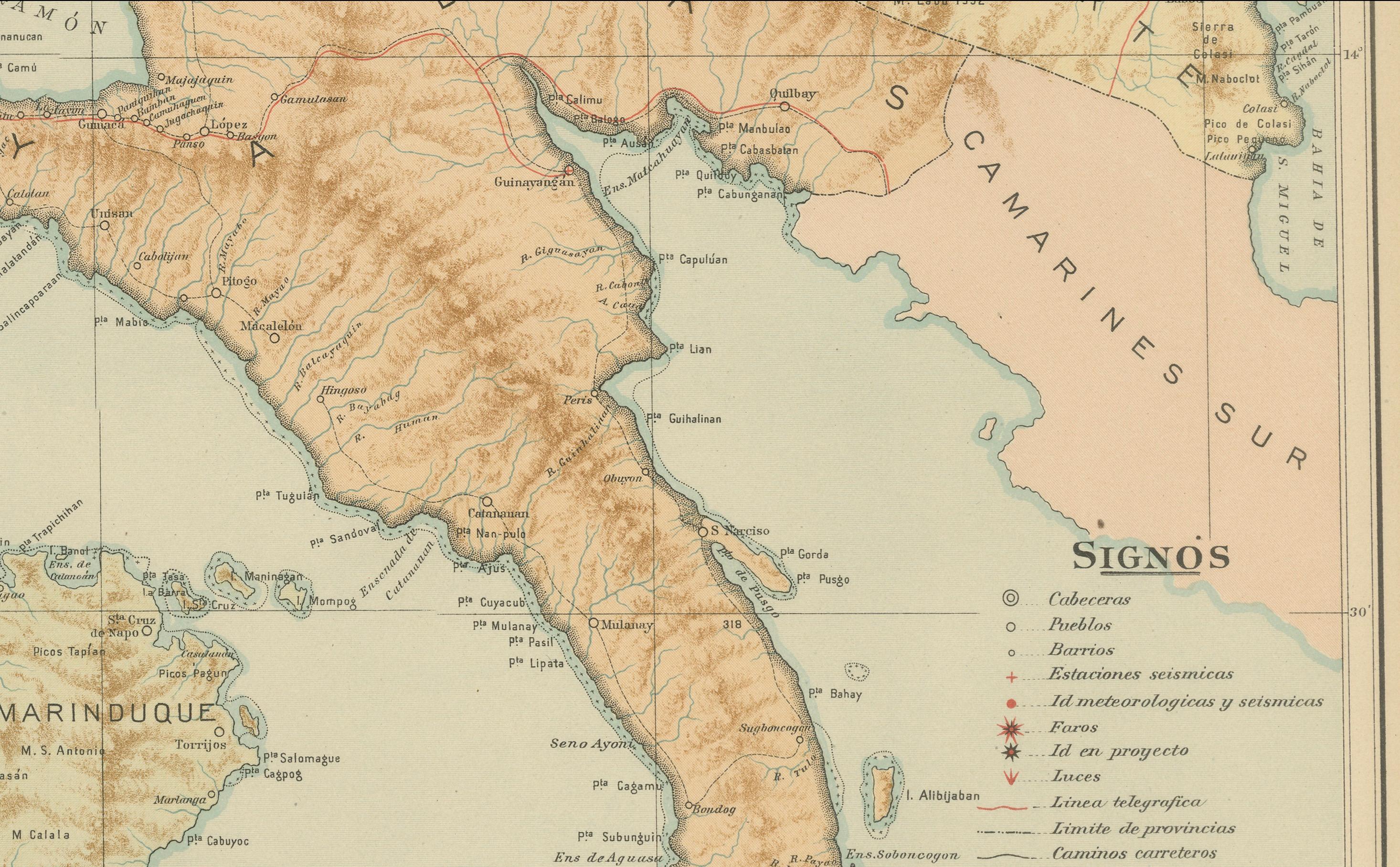
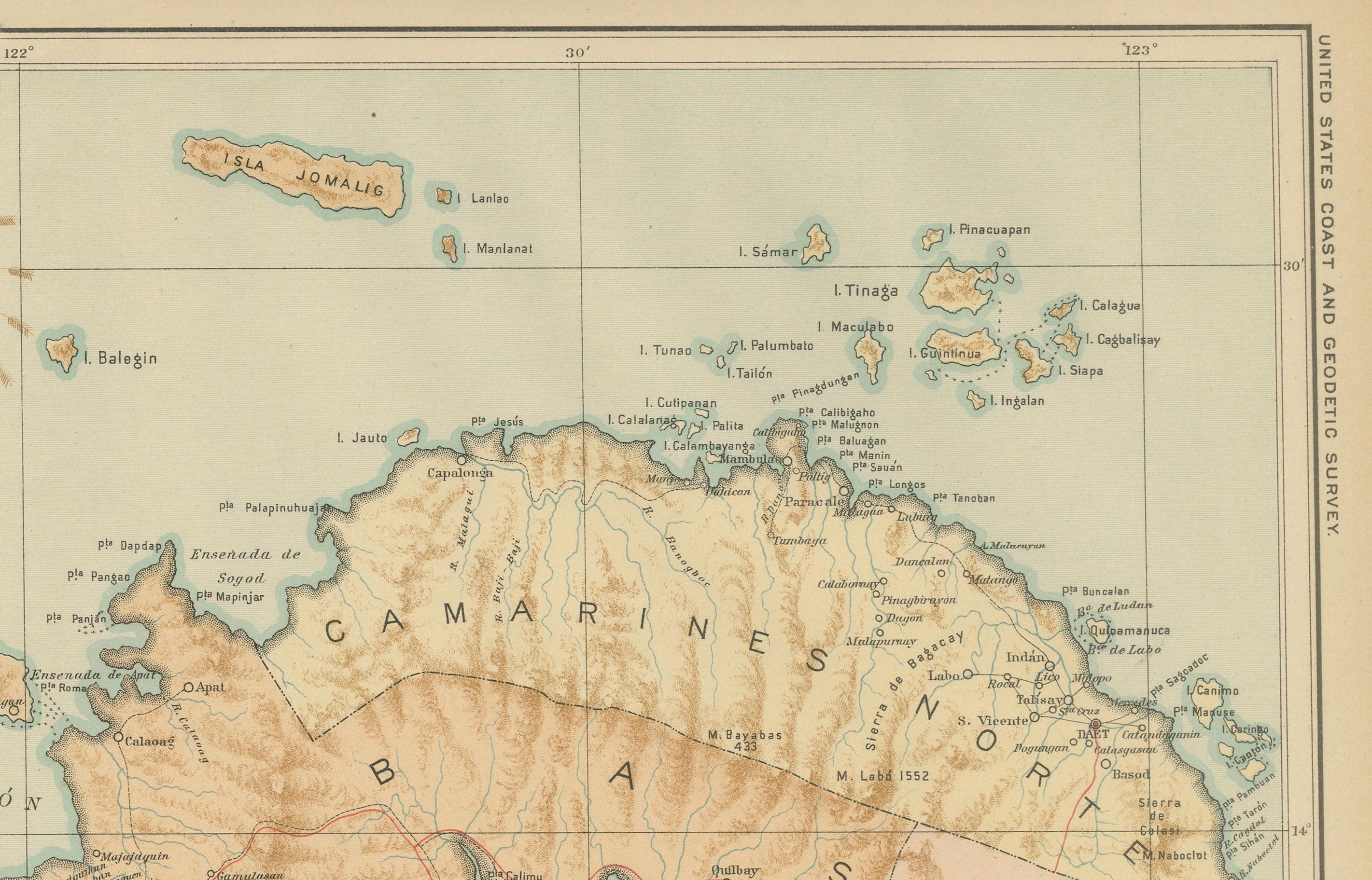
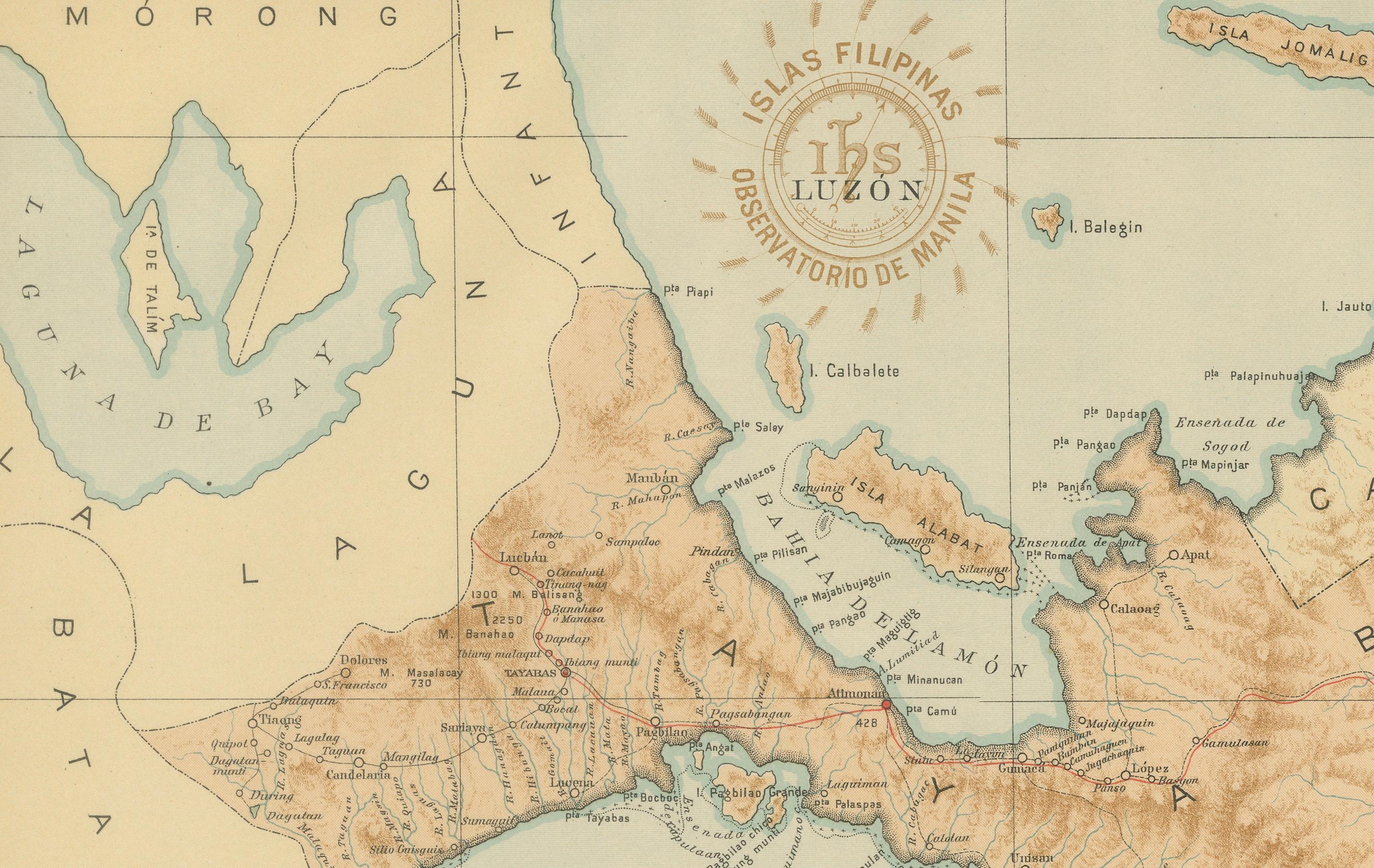
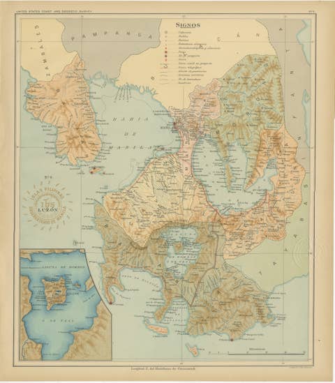
This chromolithographed map titled “Islas Filipinas – Luzón” was published in 1899 under the supervision of Rev. José Algué, S.J., Director of the Observatorio de Manila, as Plate No. 10 from the *Atlas de Filipinas*. It presents a finely detailed survey of Southern Luzon, focusing on the provinces of Batangas, Tayabas (now Quezon), and the Bicol region, including Camarines Norte and Camarines Sur.
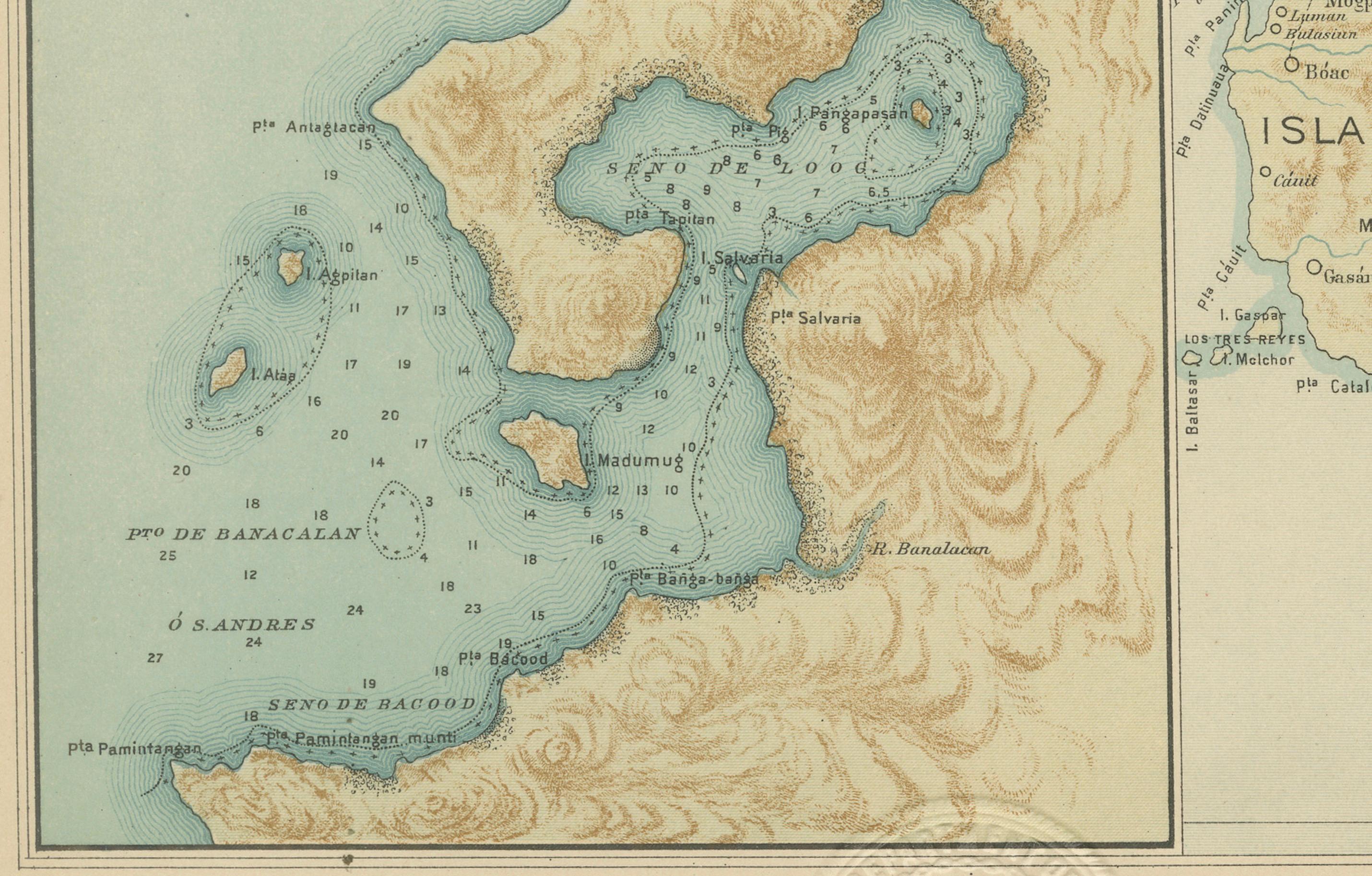
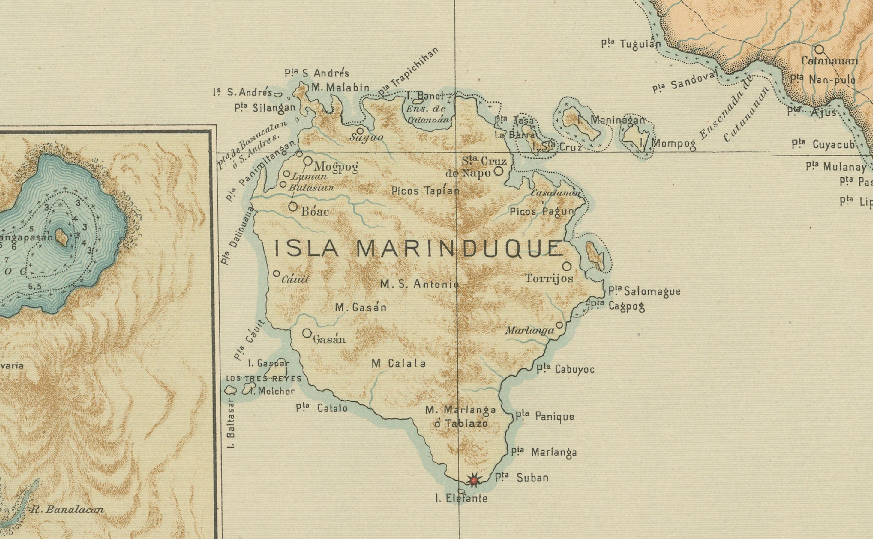
The map vividly portrays the topography of the region, with brown relief shading emphasizing the mountain ranges and volcanic terrain that dominate this part of the island. Key geographic features include the rugged Bicol Peninsula, the fertile plains of Tayabas, and the surrounding coastal areas that open toward the Sibuyan Sea and the Pacific Ocean. The inset at the lower left provides a detailed view of Isla Marinduque and its surrounding waters, complete with depth markings and coastal soundings.
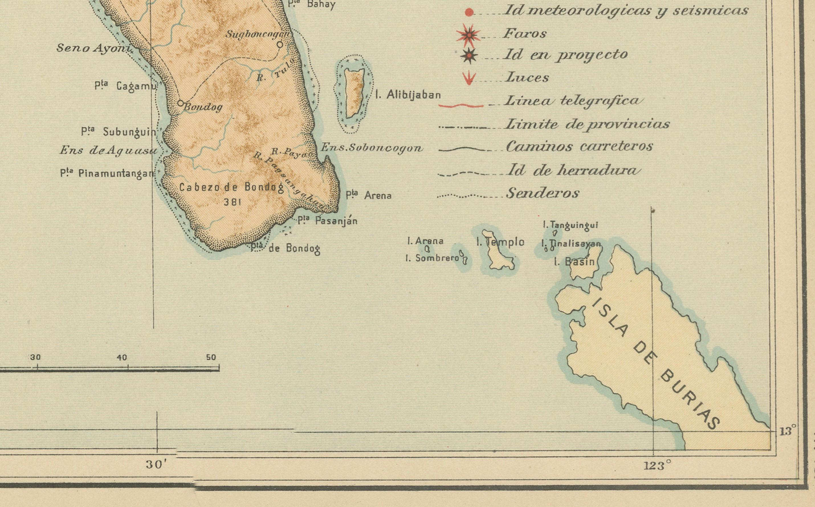
Settlements, ports, and communication routes are clearly labeled, illustrating the extent of Spanish colonial infrastructure and early American surveying efforts. The legend (“Signos”) indicates the cartographic symbols used for observatories, telegraph lines, seismic and meteorological stations, and provincial boundaries. The red circular stamp of the “Observatorio de Manila” and the embossed seal of the “U.S. Coast and Geodetic Survey” confirm the official nature of this plate, later reissued in 1900 by the U.S. Government Printing Office in Washington.
This map exemplifies the scientific precision and aesthetic excellence of late 19th-century Jesuit cartography. It combines rigorous geographic documentation with refined design, executed entirely by Filipino draftsmen under Jesuit direction. As part of the *Atlas de Filipinas*, it contributed significantly to modern geographical understanding of the Philippine archipelago at the turn of the century.
Condition: Excellent, with strong original color and minimal toning to the wide margins. The paper is clean and supple, with crisp impressions of both embossed and inked institutional seals.
Framing tips: Best framed in warm walnut or dark cherry wood with a light beige or soft blue mat to accentuate the map’s earth and sea tones.
Technique: Chromolithograph on paper Maker: Rev. José Algué, S.J., Observatorio de Manila, 1899