About this sheet
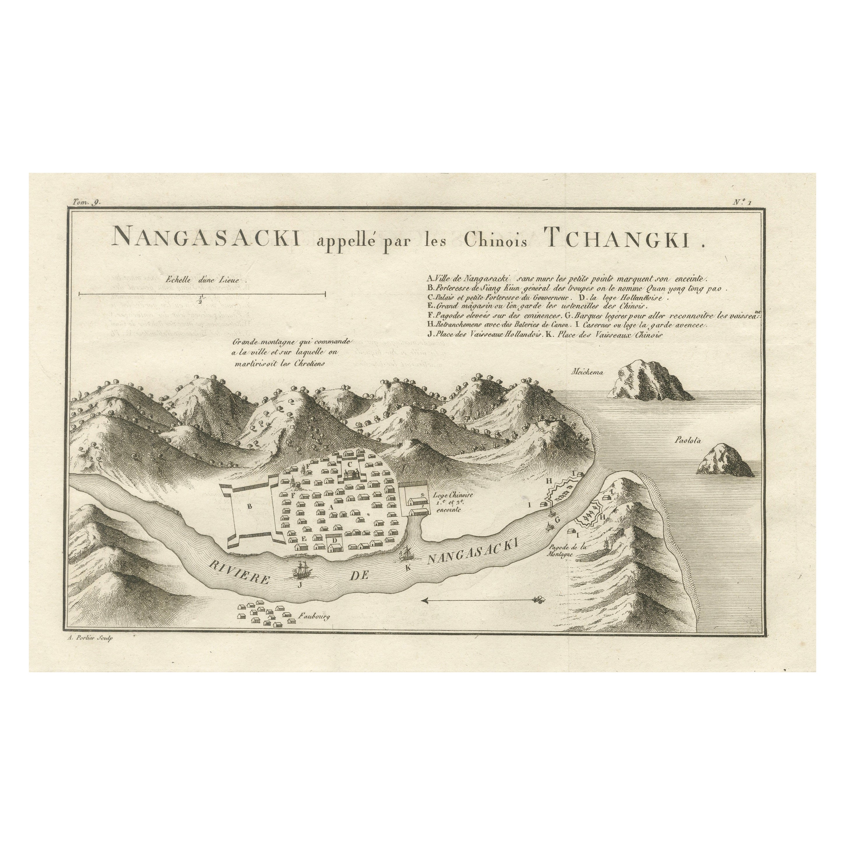
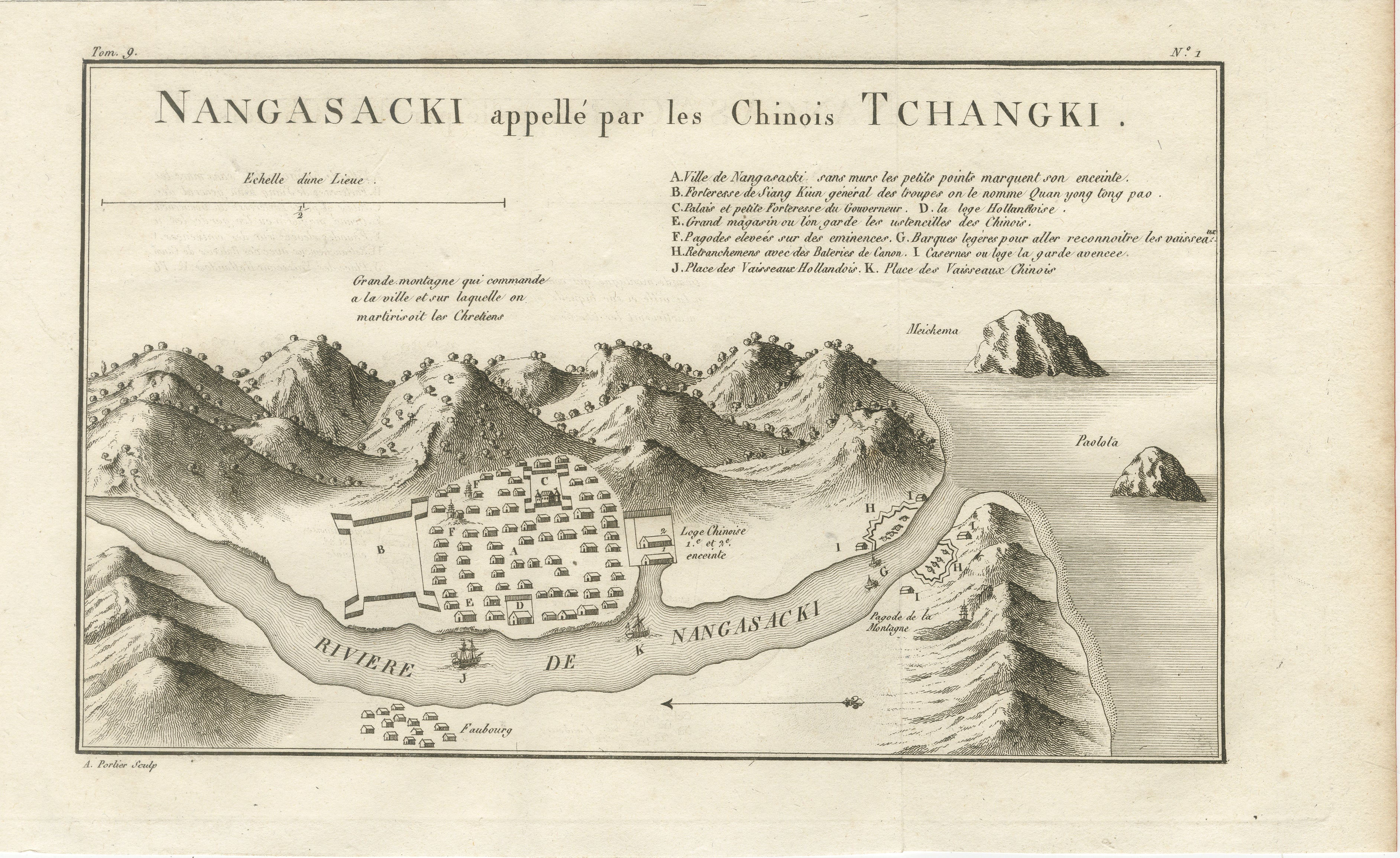
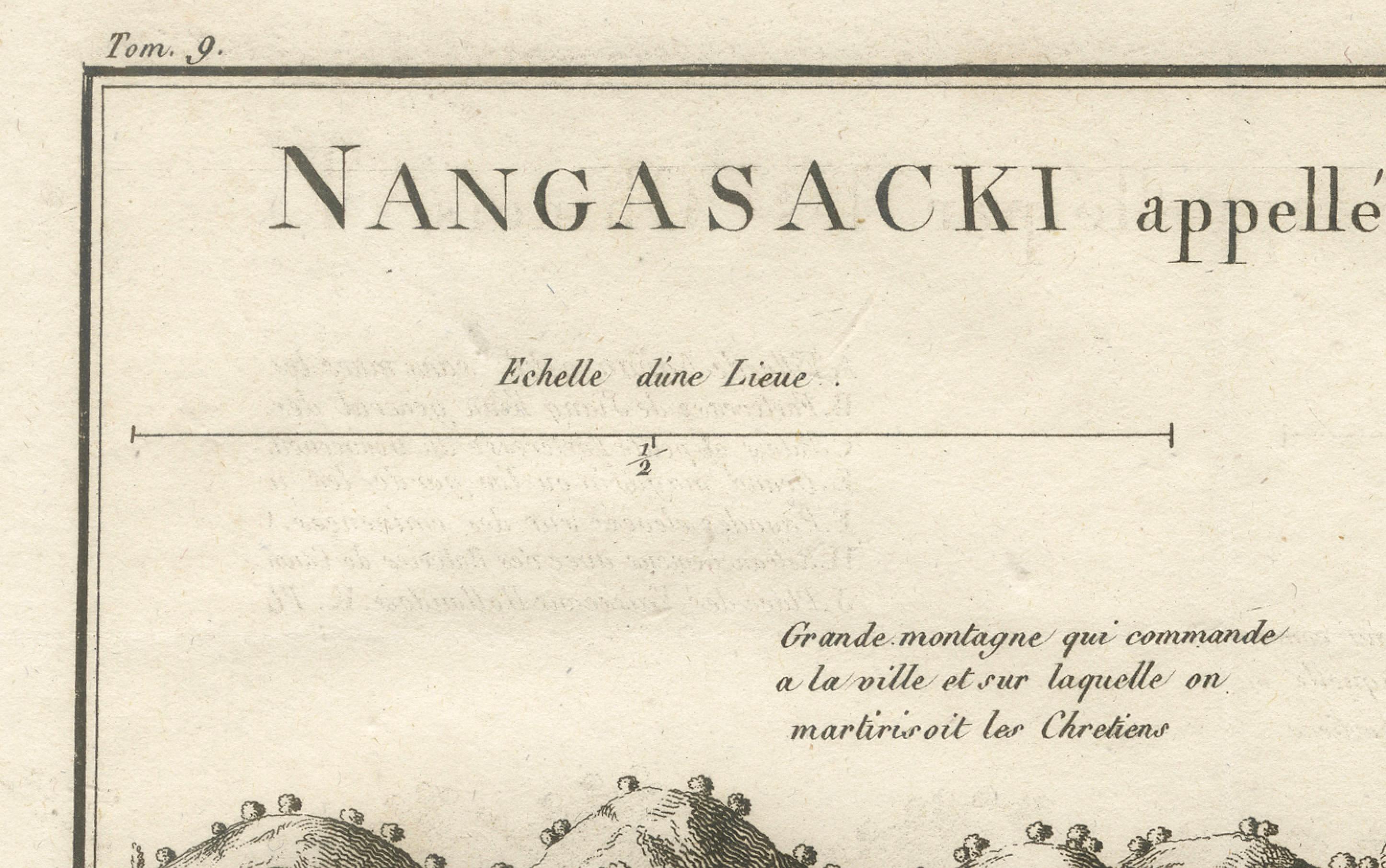
Map of Nagasaki – “Nangasacki appellé par les Chinois Tchangki”, c.1760
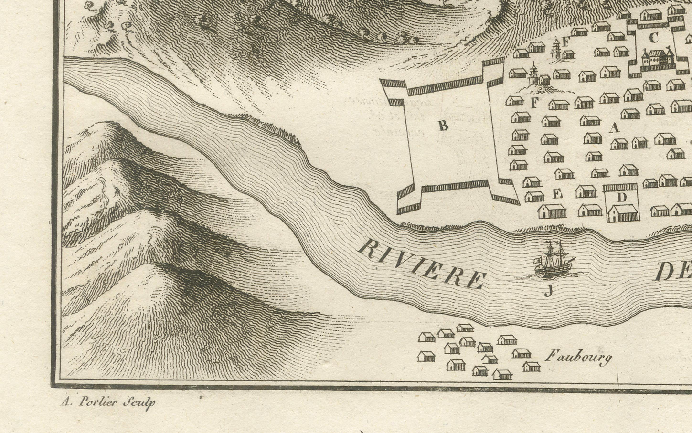
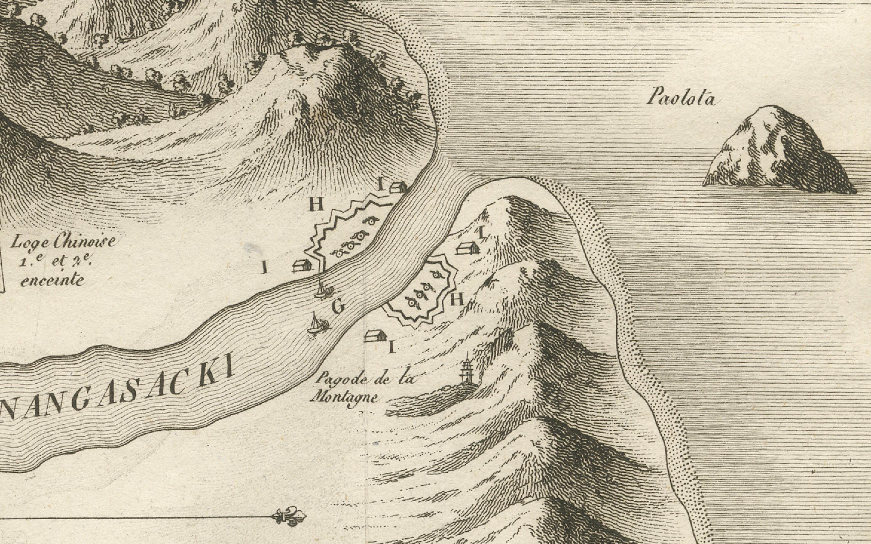
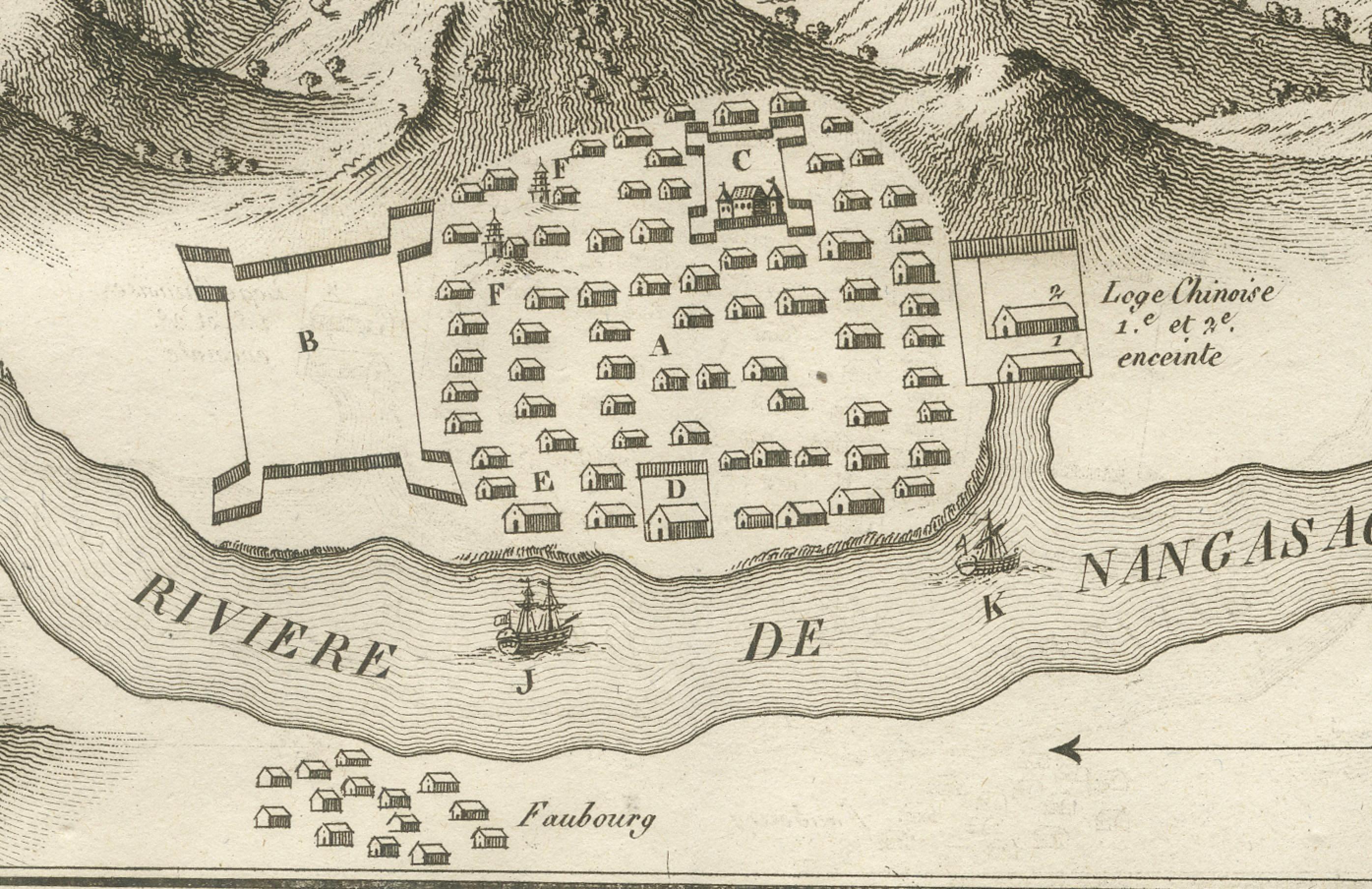
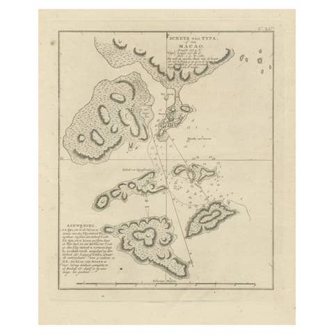
This finely engraved 18th-century map depicts the Japanese port city of Nagasaki (Nangasacki), here noted as being called 'Tchangki' by the Chinese. Oriented with the coastline at the top, the map presents a fortified city nestled between mountainous terrain, with the “Rivière de Nangasacki” flowing through its center. Small islands, including 'Mioxiema' and 'Paolata', appear offshore.
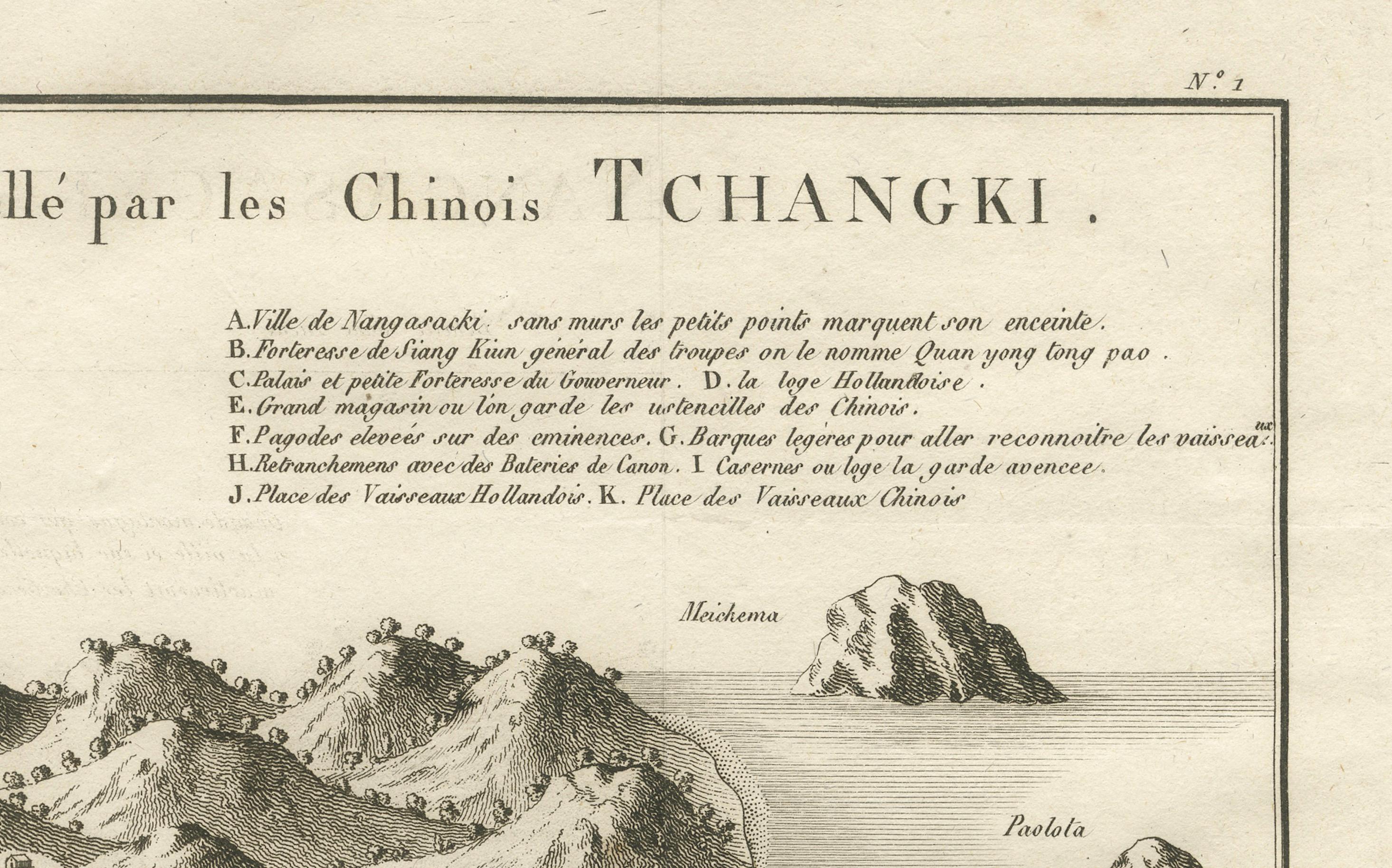
A numbered key at the upper right identifies important landmarks, including:
A. City of Nangasacki within its walls
B. Fortress of the military governor
C. Palace and smaller fortress of the governor
D. Dutch lodge (*loge Hollandoise*)
E. Large warehouse under the Chinese quartermaster’s control
F. Chinese lodge (*loge Chinoise*)
G. Light boats for reconnaissance
H. Places with cannon batteries
J. Place for Dutch ships
K. Place for Chinese ships
A notable annotation on the map describes the “Grande montagne qui commande à la ville et sur laquelle on martyrisoit les Chrétiens” – the large mountain overlooking the city where Christians were martyred, reflecting Japan’s complex and often repressive relationship with Christianity during the Edo period.
This engraving was executed by A. Porlier and is marked “Tome 9, No 1,” indicating its position in a multi-volume Enlightenment-era work. Such maps were produced at a time when Japan was largely closed to foreign trade under the policy of 'sakoku', with Nagasaki as one of the very few ports open to limited international contact, primarily with the Dutch and Chinese.
Collectors of Japanese history, cartography, and East Asian trade history will find this a valuable and visually engaging piece, capturing Nagasaki’s unique position in the 18th-century global network.
Condition: Very good for age, with central folds as issued. Minor toning and a few faint handling marks. Strong plate impression with fine detail in both topography and architectural depictions.
Framing tips: A dark frame, such as ebony or black walnut, with a cream or light grey mount will draw out the delicate linework. For thematic displays, this map pairs beautifully with other 18th-century port city plans.
Technique: Copperplate engraving
Maker: A. Porlier sculp., French school, c.1760