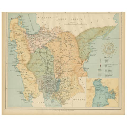
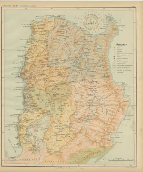
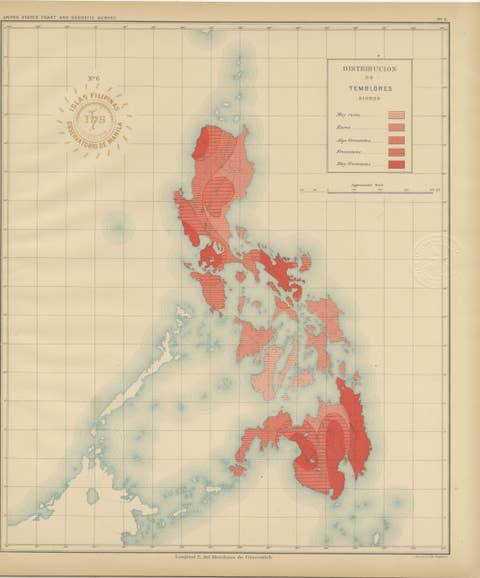
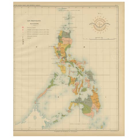
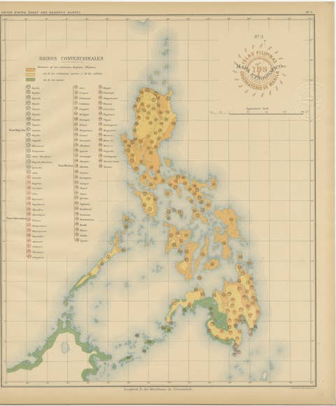
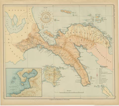
Antique Map of the Philippine Islands – Observatorio de Manila, 1899
€ 460
One of a kind: this is the sheet in the photographs. Ships from Langweer, the Netherlands.
Date
1899
Sheet size
32.5 × 37 cm (12.8 × 14.6 in)
Reference
BG-12176-2
Condition
Very good example with original color, minimal toning, and full margins. Embossed official seal clearly visible.
About this sheet
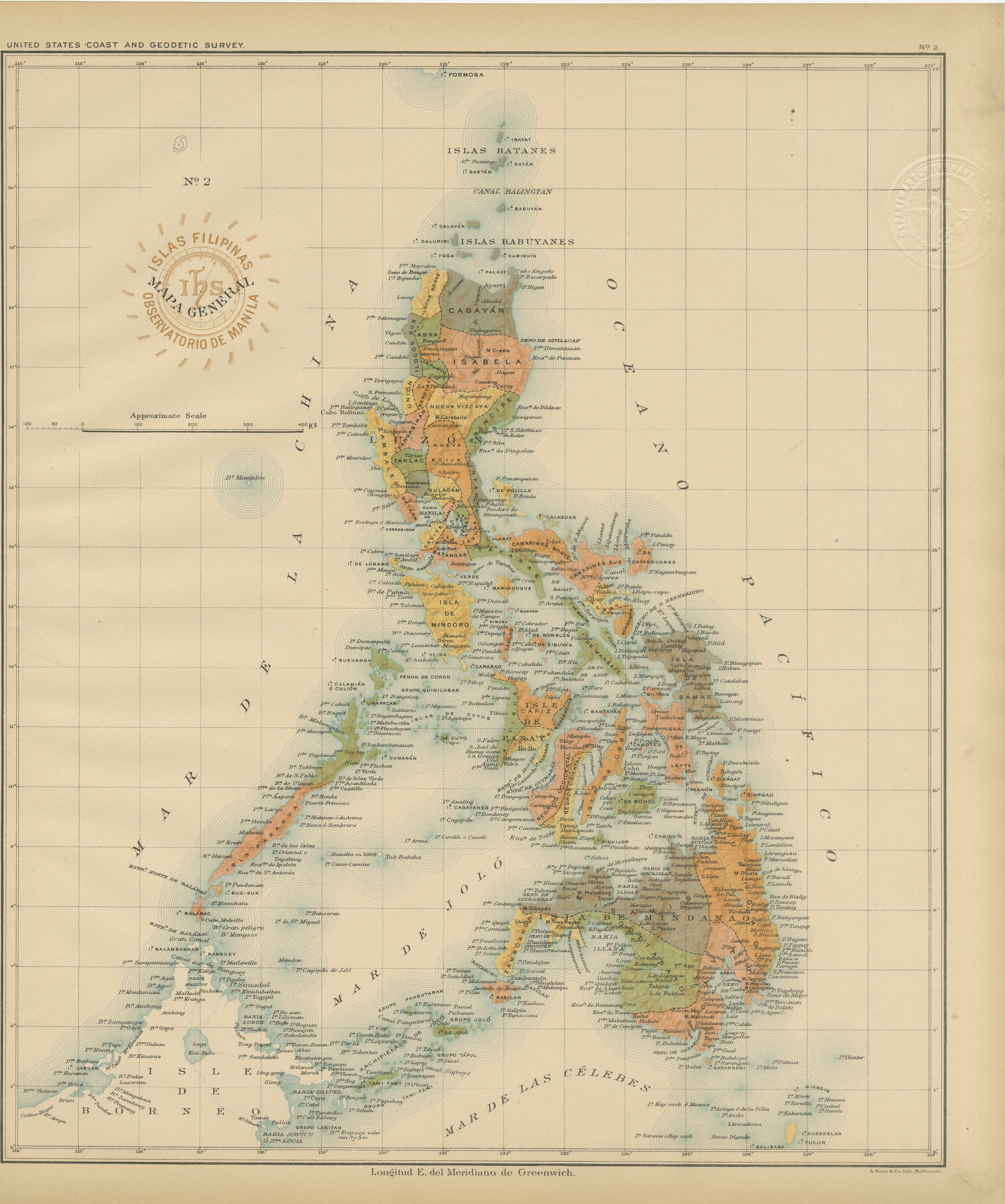
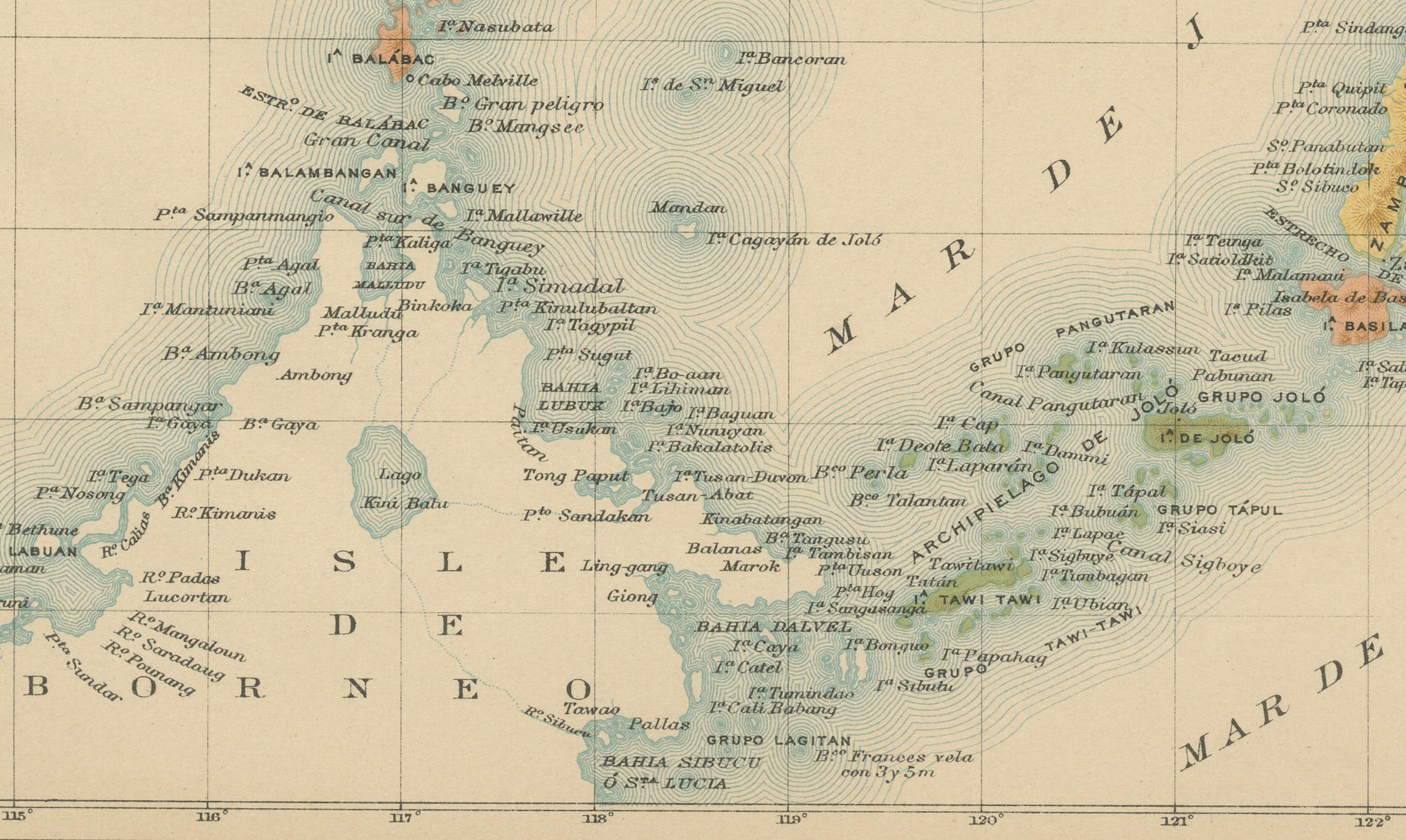
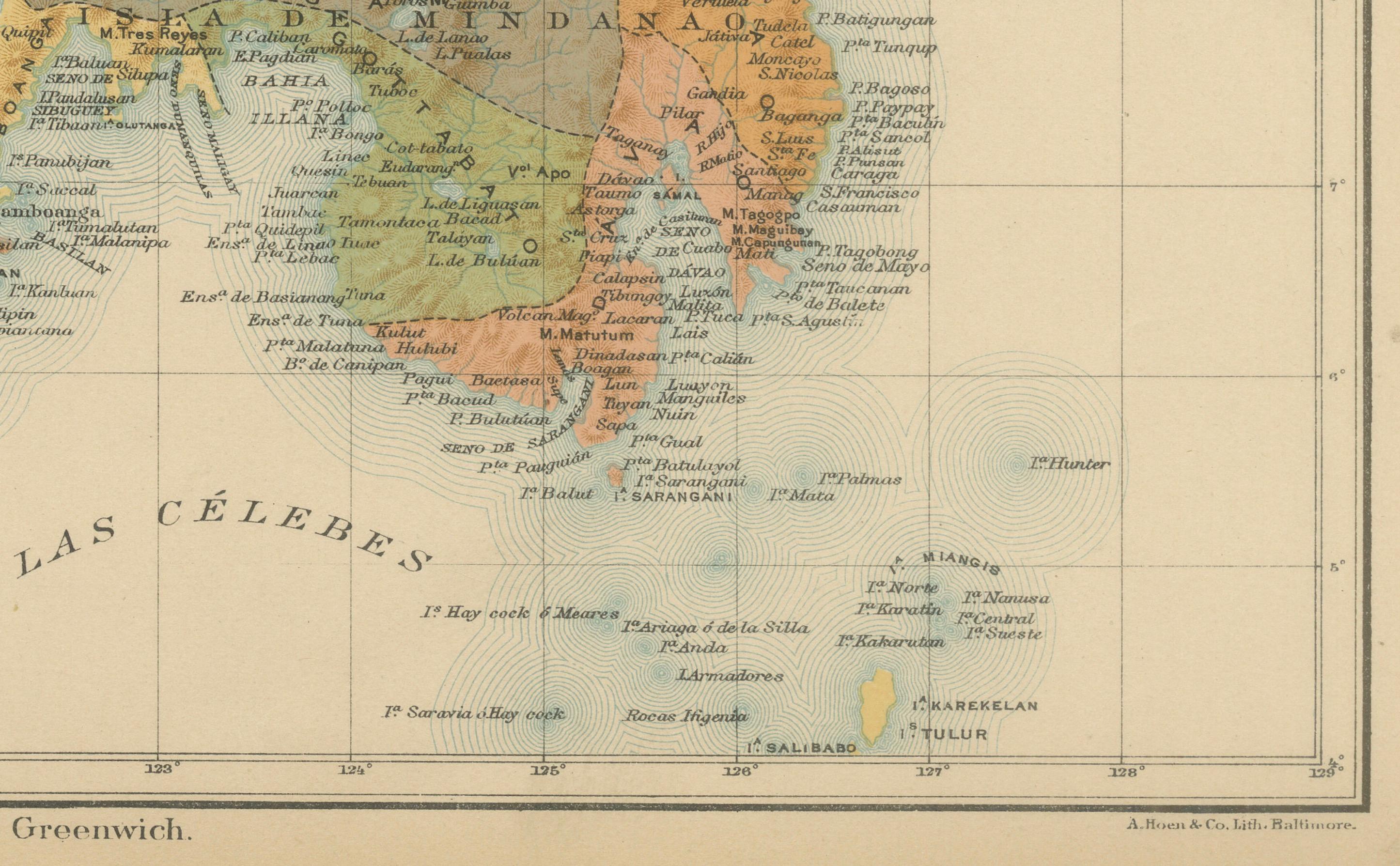
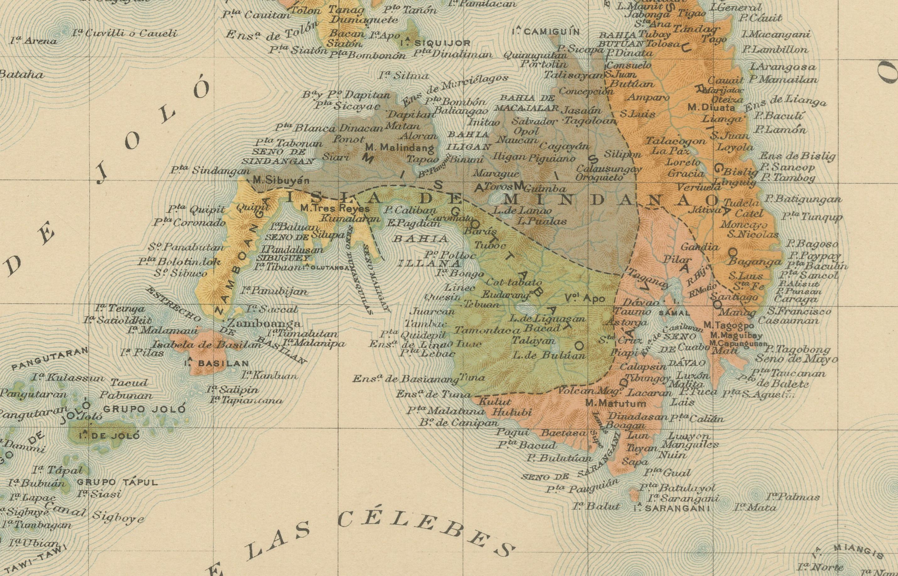
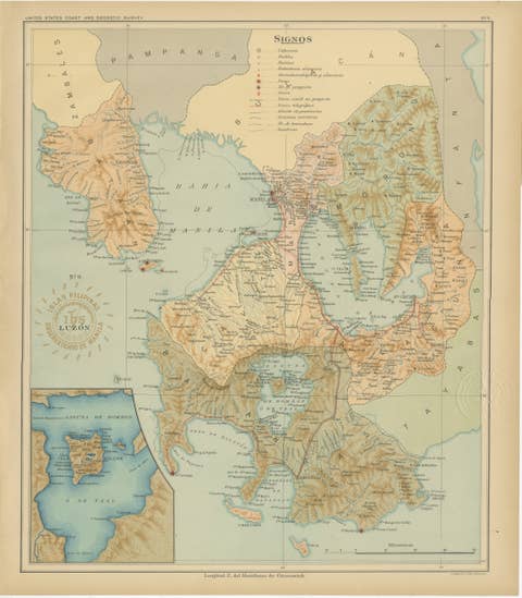
Antique Map of the Philippine Islands – Observatorio de Manila, 1899
This beautiful chromolithographed map titled “Islas Filipinas” was created in 1899 under the direction of Rev. José Algué, S.J., Director of the Observatorio de Manila, and issued as Plate No. 2 from the Atlas de Filipinas. It was later included in the U.S. Coast and Geodetic Survey’s Atlas of the Philippine Islands (Washington, 1900), published shortly after the Spanish–American War.
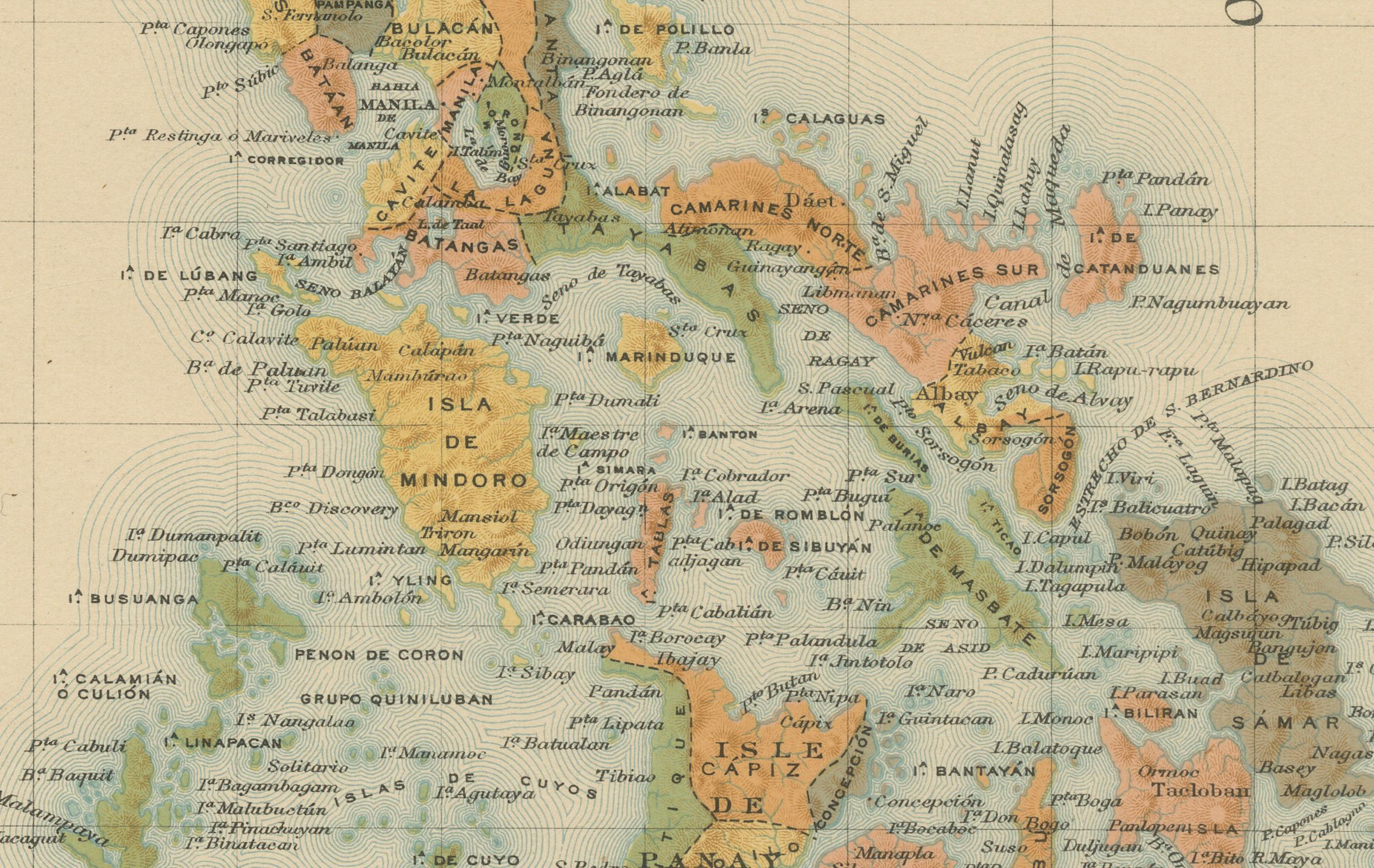
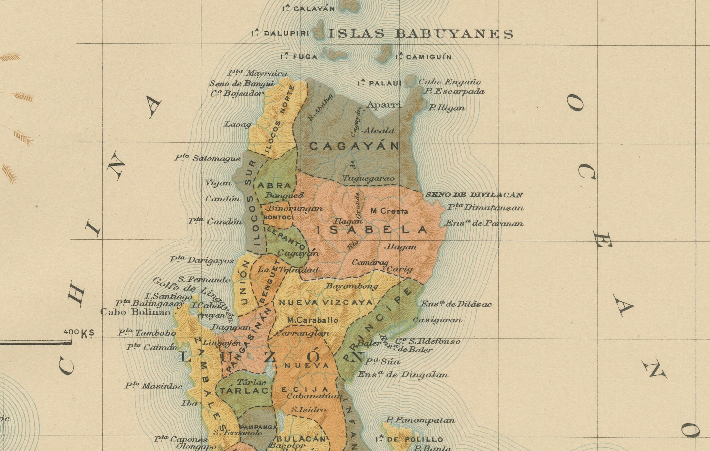
The map presents a detailed and finely engraved depiction of the entire Philippine Archipelago, from the northernmost Batanes Islands to Mindanao and the Sulu Archipelago in the south. It shows the islands’ political divisions, major towns, mountain ranges, rivers, and coastal features, along with the surrounding seas—the Mar de Joló, Mar de las Célebes, and Océano Pacífico. The geographical precision and shading reflect advanced cartographic techniques of the late 19th century.
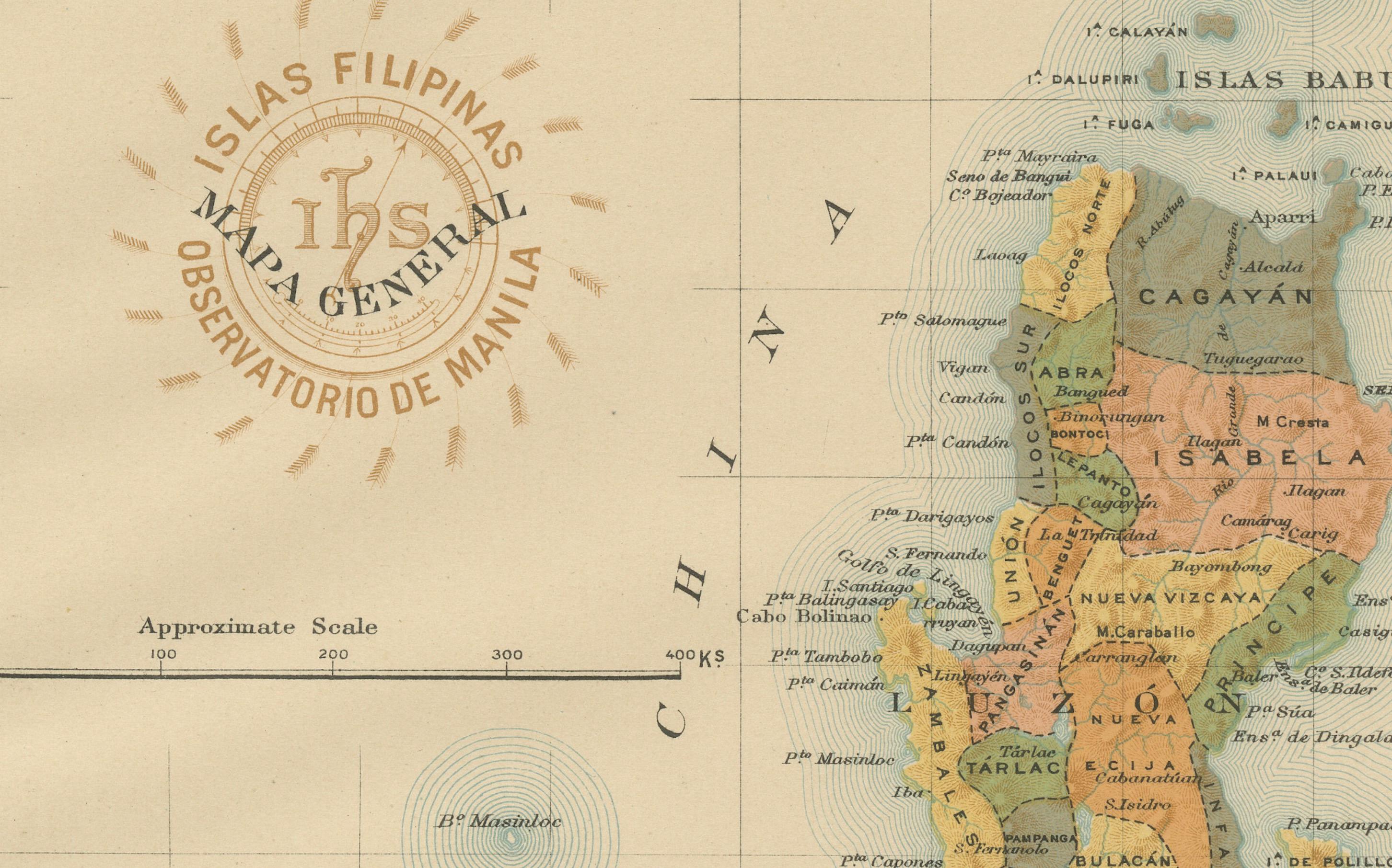
An embossed seal of the U.S. Coast and Geodetic Survey appears in the upper right margin, alongside the circular stamp of the Observatorio de Manila, confirming the map’s authenticity and its dual scientific heritage. Produced by Filipino draftsmen working under Jesuit supervision, this map represents a landmark in Philippine cartography, bridging Spanish scientific efforts and early American administration.
Its historical significance lies in the collaboration between the Manila Observatory and the U.S. Coast and Geodetic Survey, marking a turning point in the modernization of geographic knowledge in the Philippines. The map’s clarity, delicate coloring, and historical context make it one of the most attractive and informative depictions of the Philippines at the dawn of the 20th century.
Condition: Excellent example with original color, minimal toning, and full margins (the scan was not full page). Embossed official seal clearly visible.
Framing tips: Ideally displayed in a natural oak or dark wood frame with a cream or ivory mat to highlight the pastel coloration and historical details.
Technique: Chromolithograph on paper Maker: Rev. José Algué, S.J., Observatorio de Manila, 1899