About this sheet
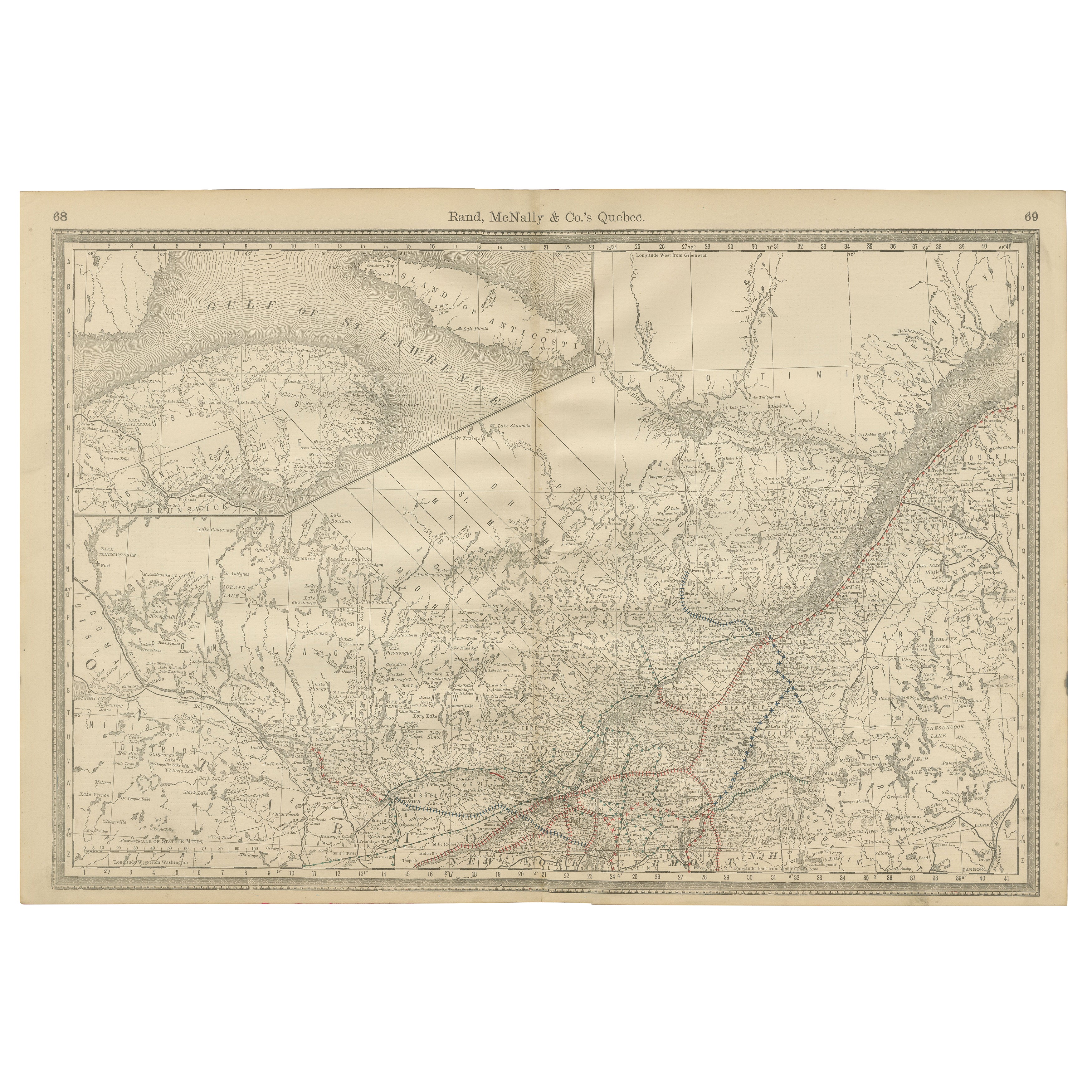
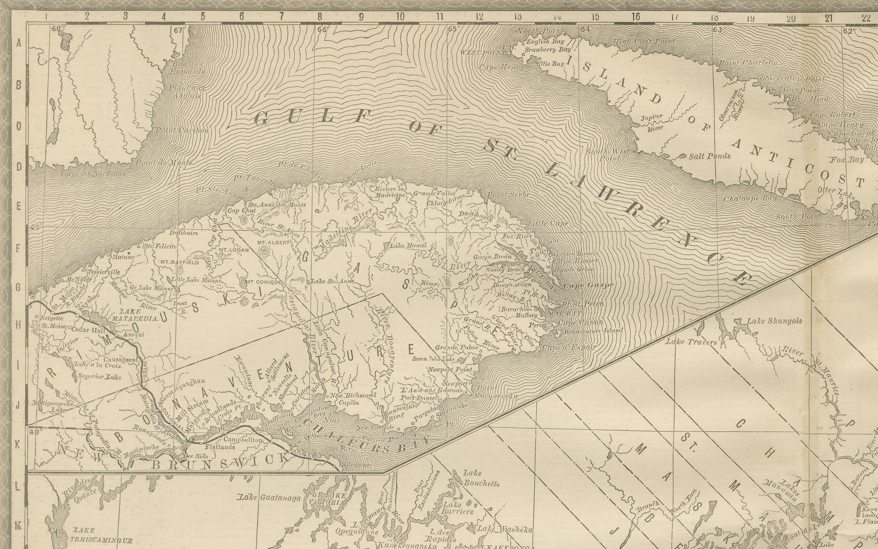
Antique Map of Quebec, Canada – Rand McNally, circa 1888
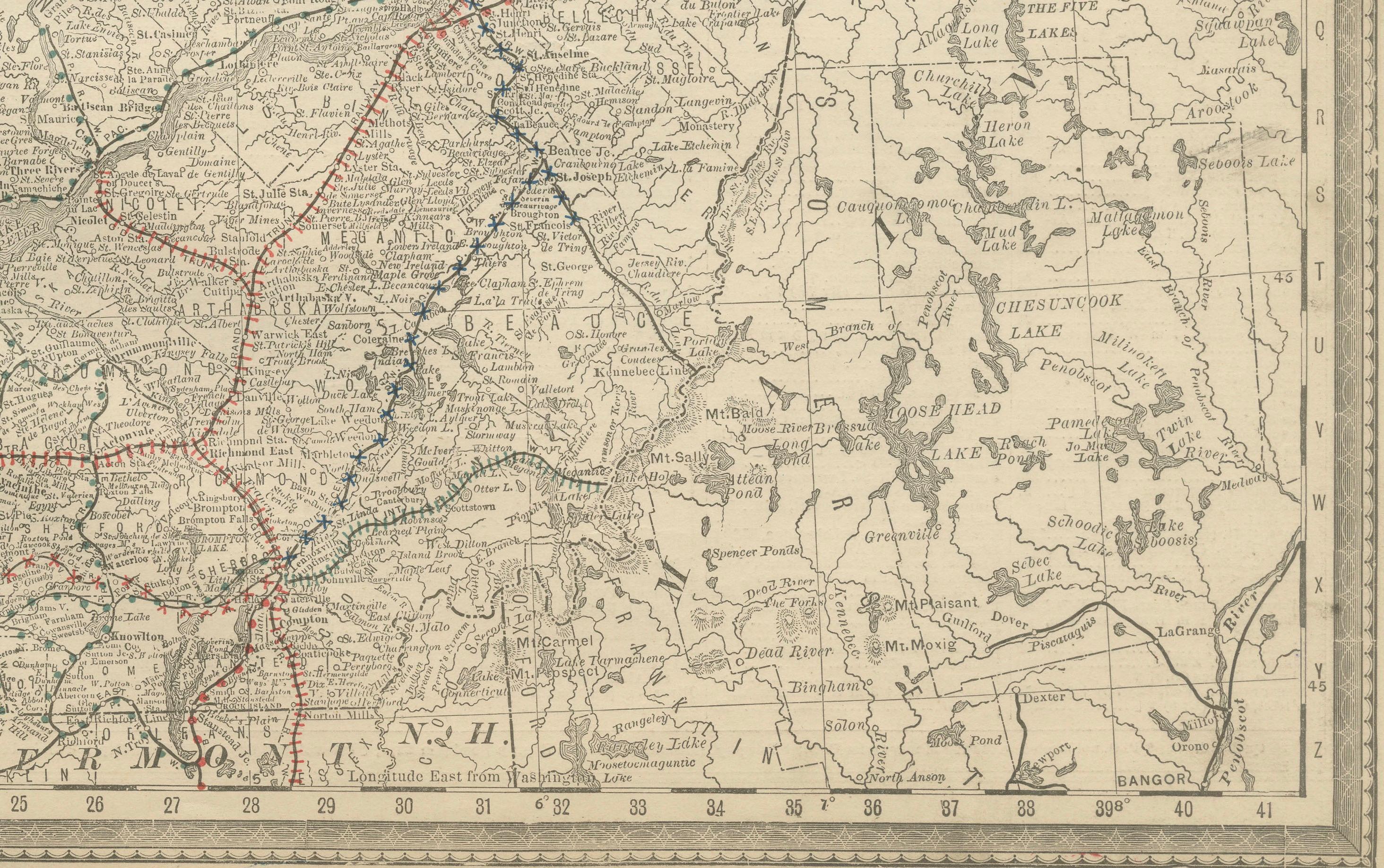
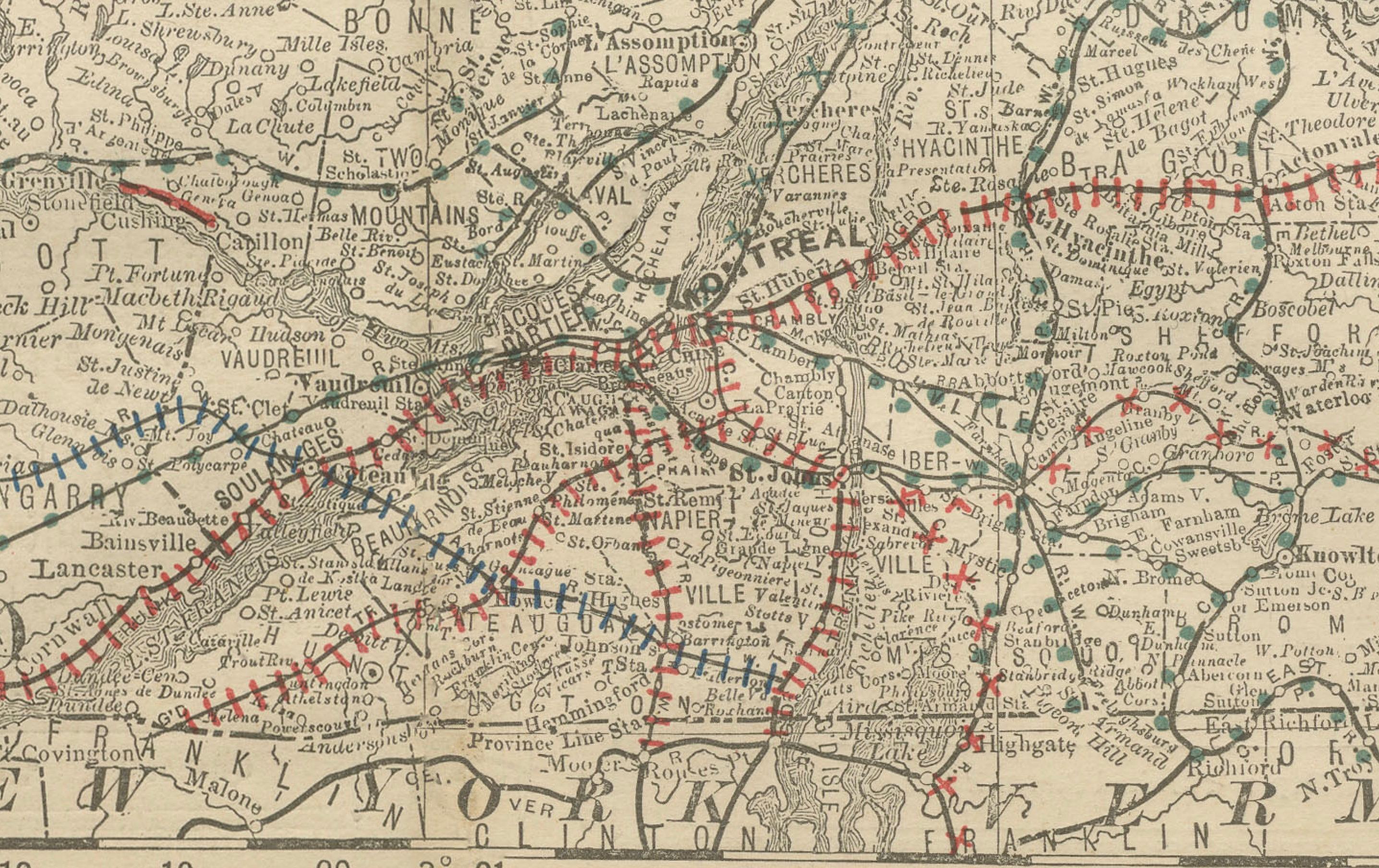
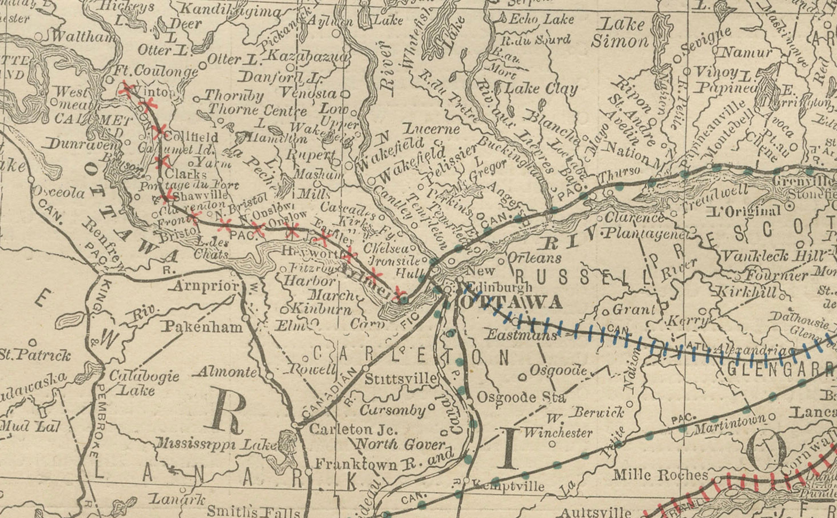
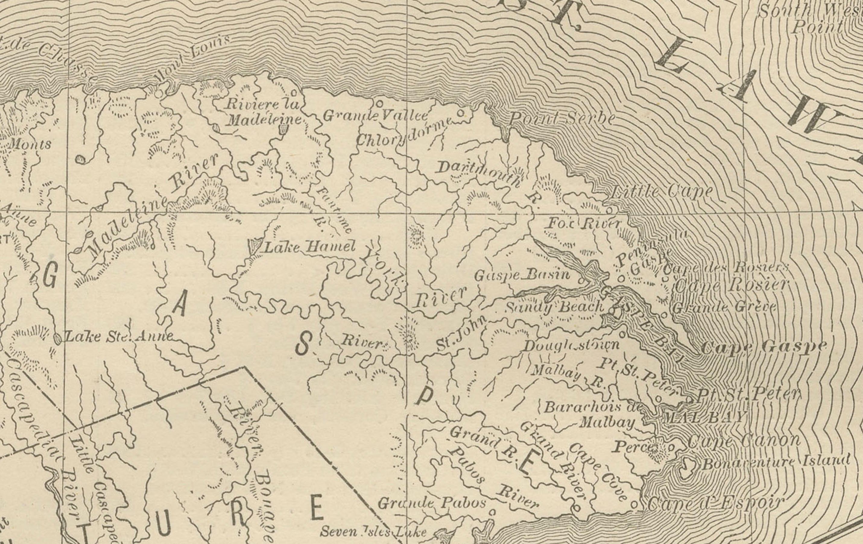
This antique map of Quebec was published by Rand, McNally & Co. around 1888. Drawn from their late 19th-century atlas series, it presents a detailed portrait of the province, with emphasis on its railroads, towns, rivers, and geographic features.
The map focuses on southern Quebec, stretching from the U.S. border to the Gulf of St. Lawrence, with Montreal, Quebec City, and Trois-Rivières prominently marked. The St. Lawrence River dominates the composition, engraved with fine wave patterns and carefully tracing its many tributaries and islands. Anticosti Island is included at the top, while the Ottawa River and cross-border towns illustrate Quebec’s close links with Ontario and the northeastern United States.
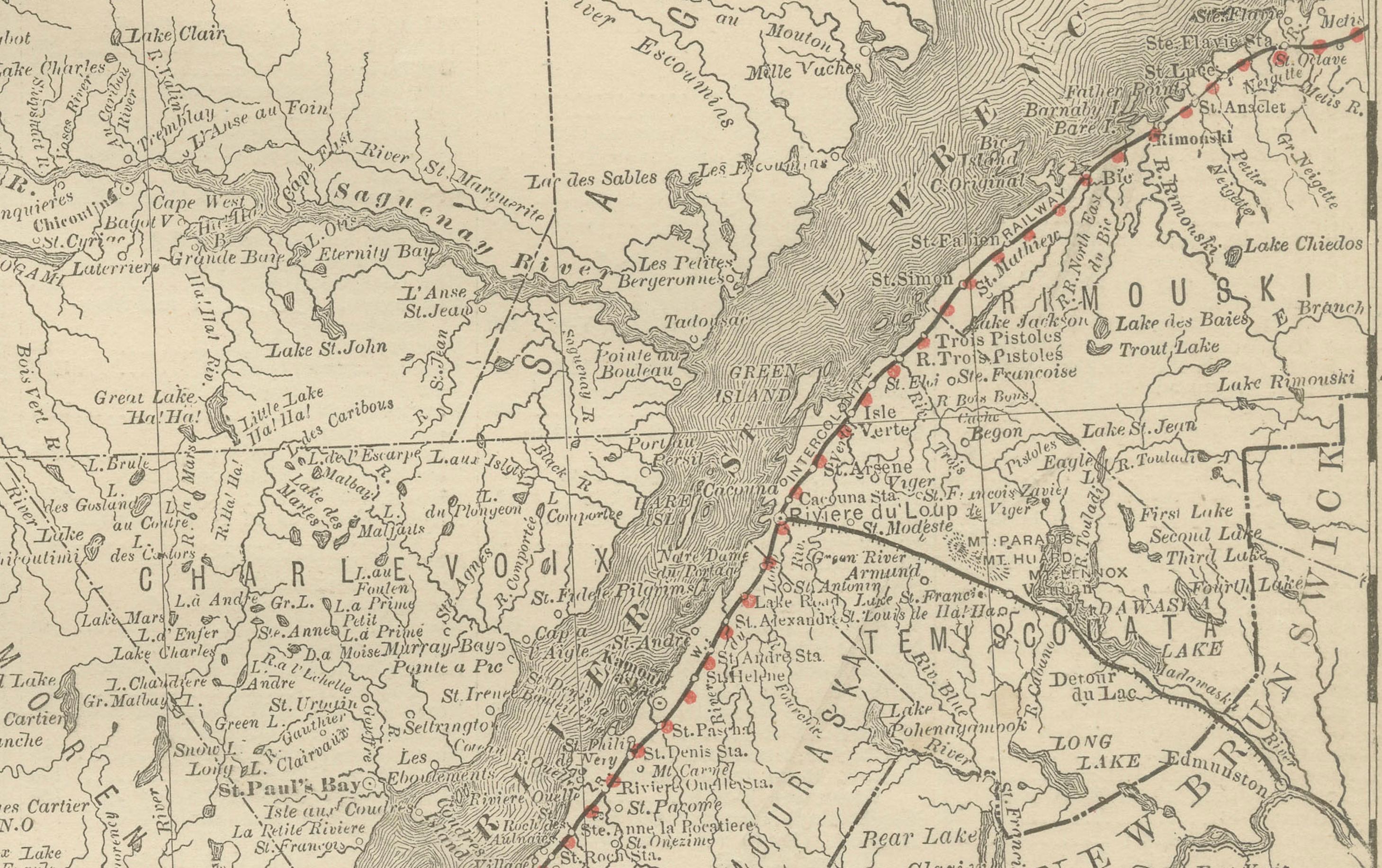
Railroads, shown in red and blue, form a dense network around Montreal and Quebec City, extending outward to connect the province with Ontario, New Brunswick, and New England. This reflects Quebec’s growing role as both an industrial center and a key transportation hub in the late 19th century.
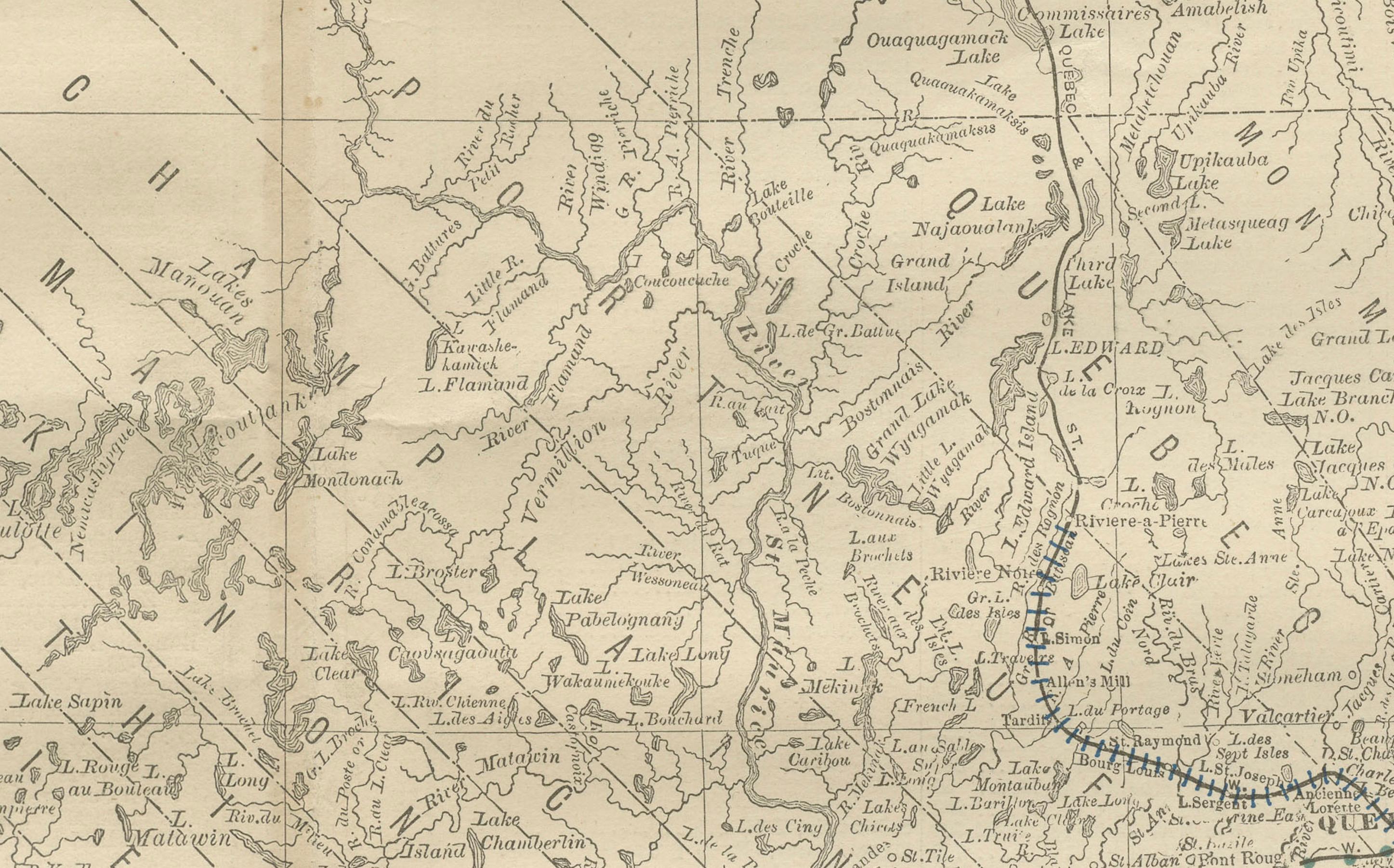
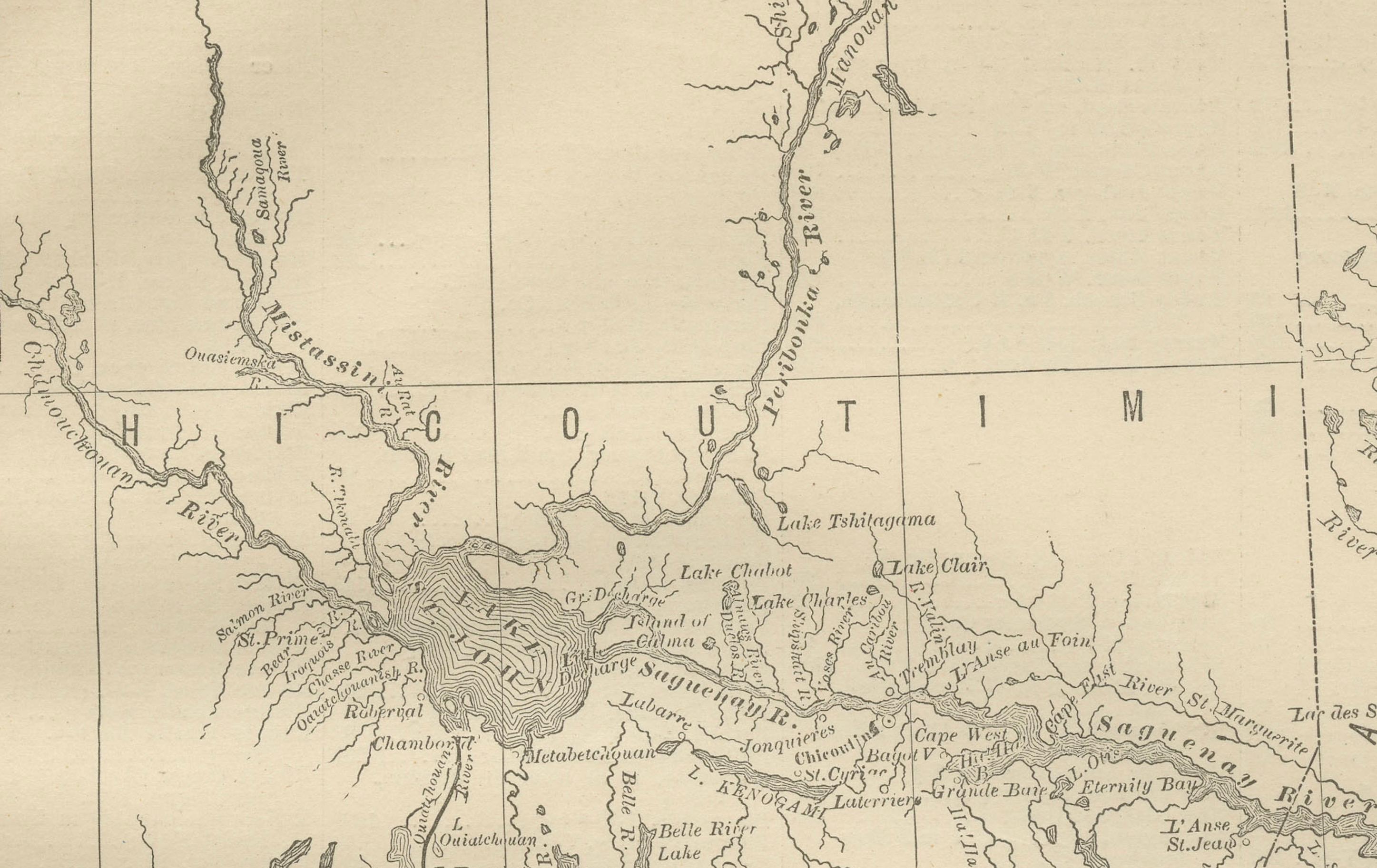
Smaller settlements, rivers, and lakes are finely drawn, capturing both the inhabited south and the more rugged northern expanses. The map is historically significant as it portrays Quebec during a formative period of industrial and cultural development.
Condition report:
Very good condition with light toning and faint darkening along the original center fold. Plate mark visible. Clean margins with only minor handling wear. Strong impression with crisp engraved detail.
Framing tips:
A walnut or dark oak frame with a cream mat will highlight the engraving. A double mat with ivory outer and muted blue inner will emphasize the waterways of the St. Lawrence River, creating a balanced presentation.
Technique: Lithograph with original outline color
Maker: Rand, McNally & Co., Chicago, circa 1888