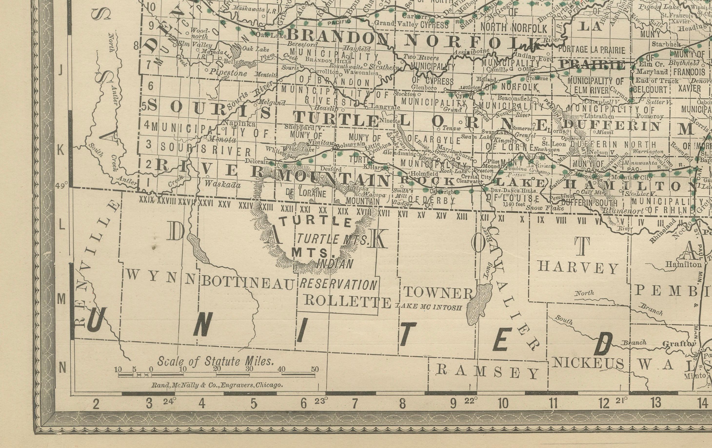
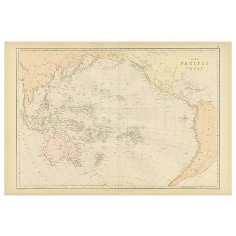
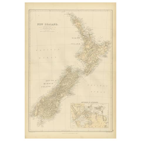
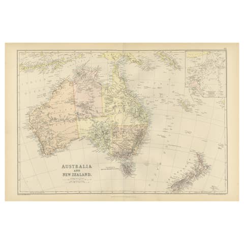
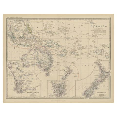
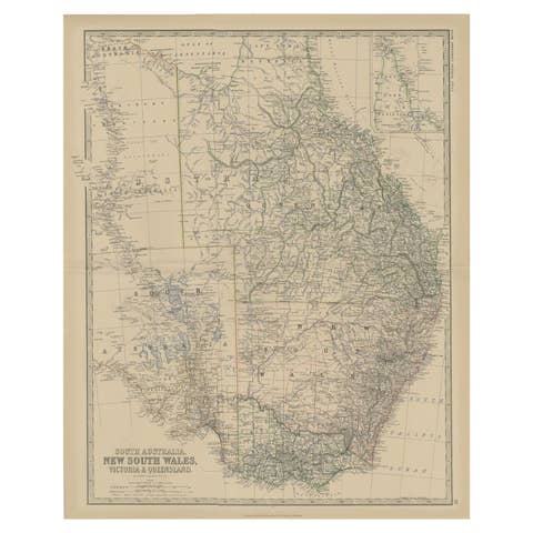
One of a kind: this is the sheet in the photographs. Ships from Langweer, the Netherlands.
Date
1888
Sheet size
36 × 52.5 cm (14.2 × 20.7 in)
Condition
Good
Reference
BG-12794-7
Condition
Very good condition with mild toning and slight darkening along the original center fold. Plate mark visible. Margins clean with only minimal handling wear. Strong impression with crisp detail.
About this sheet
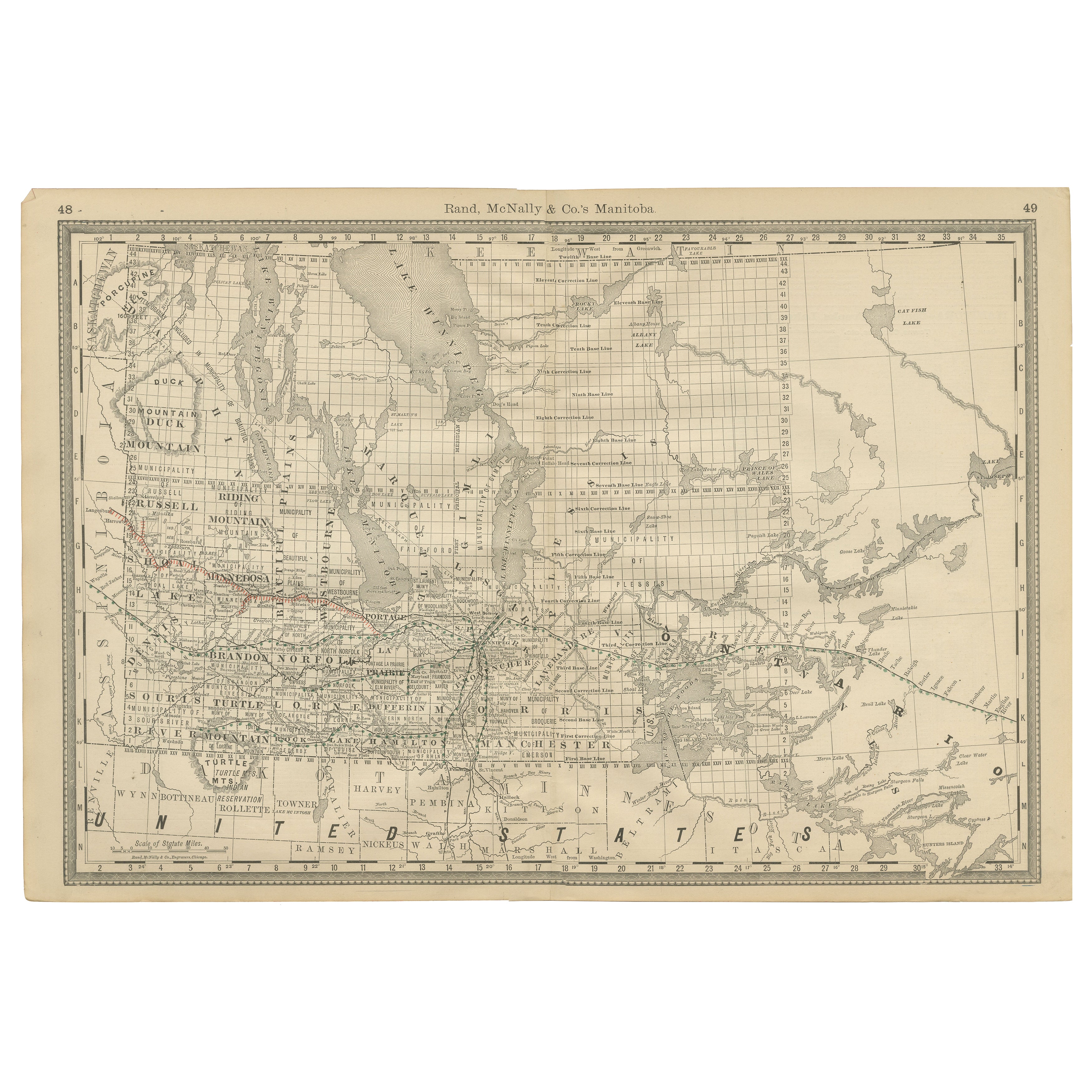
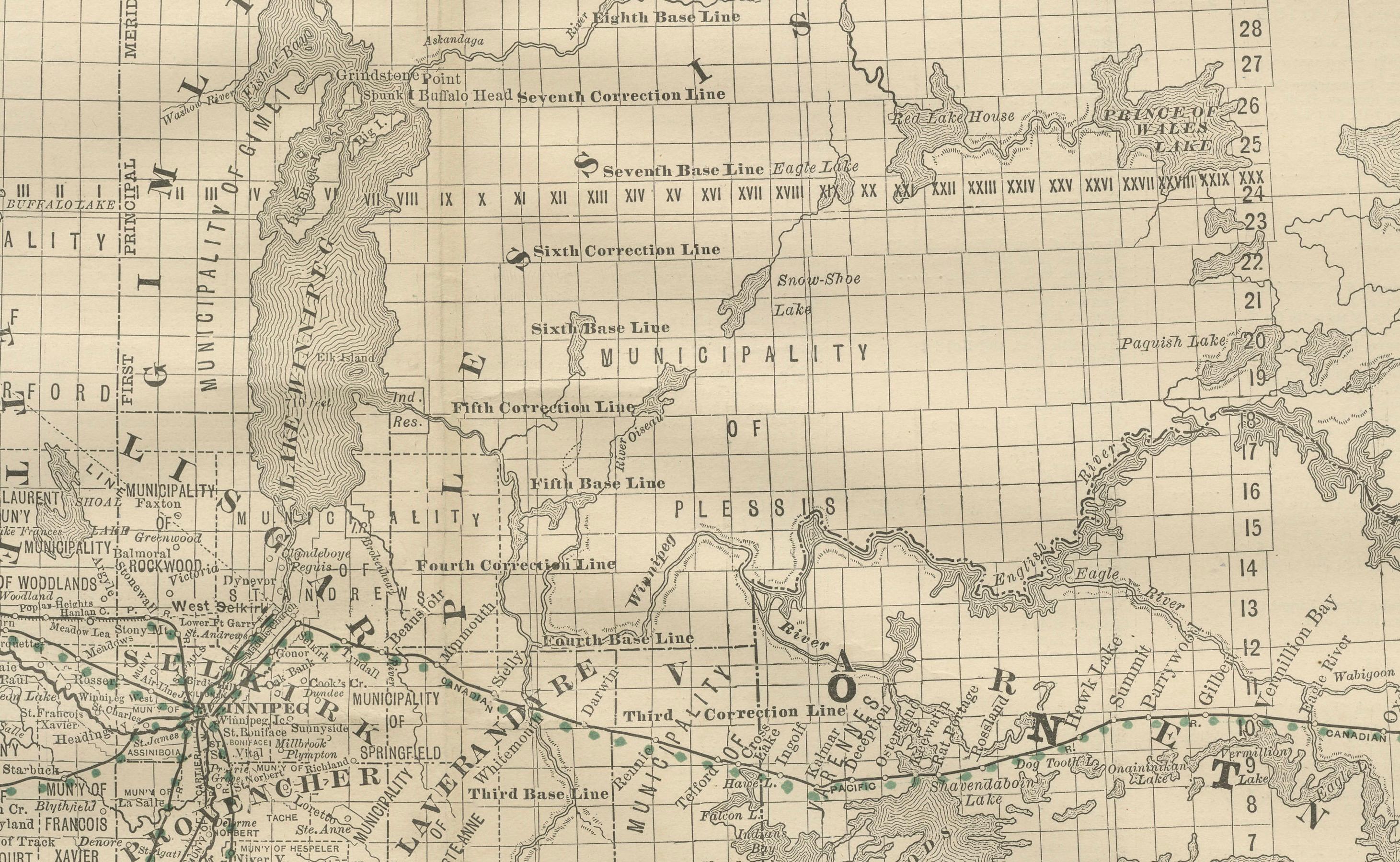
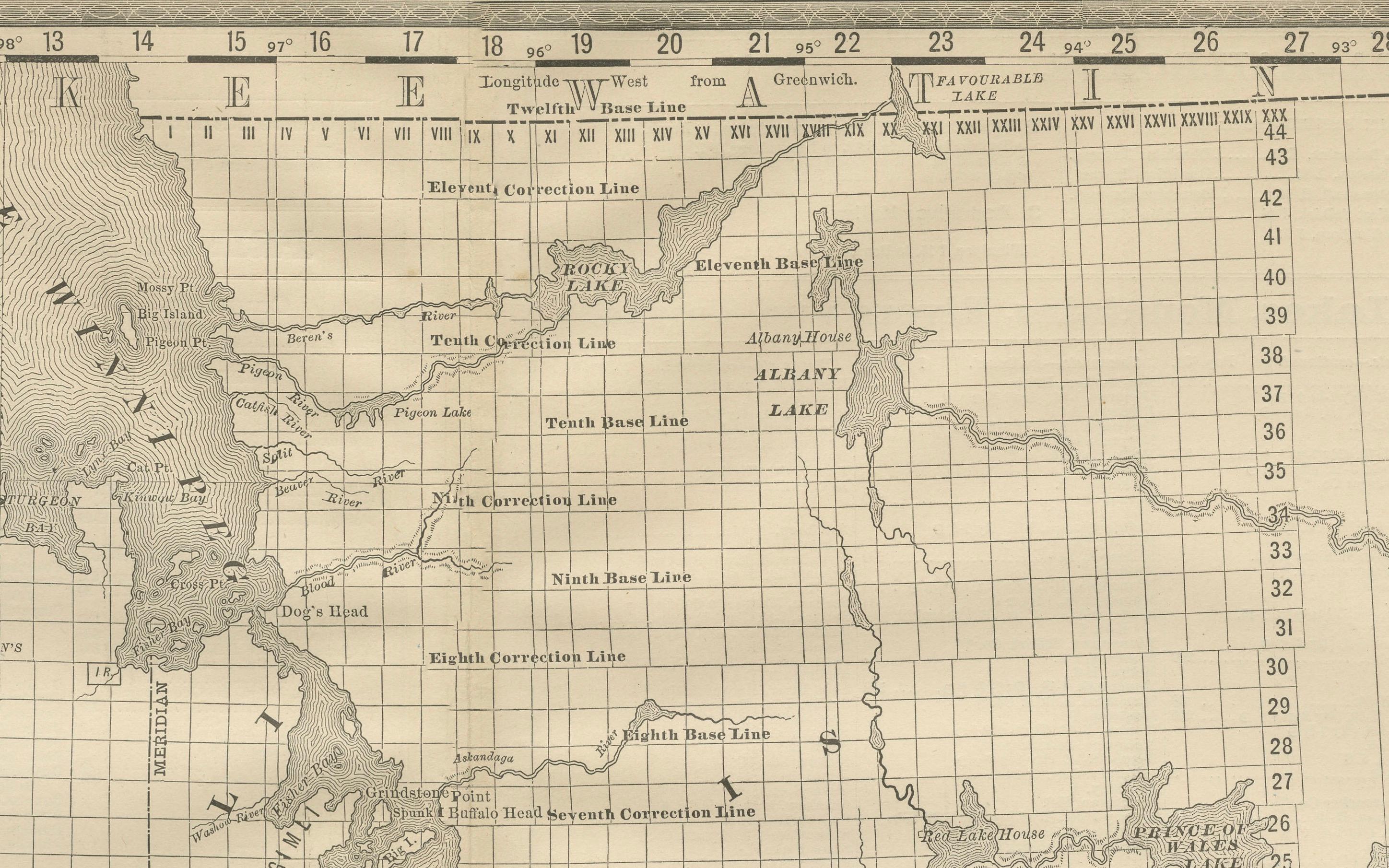
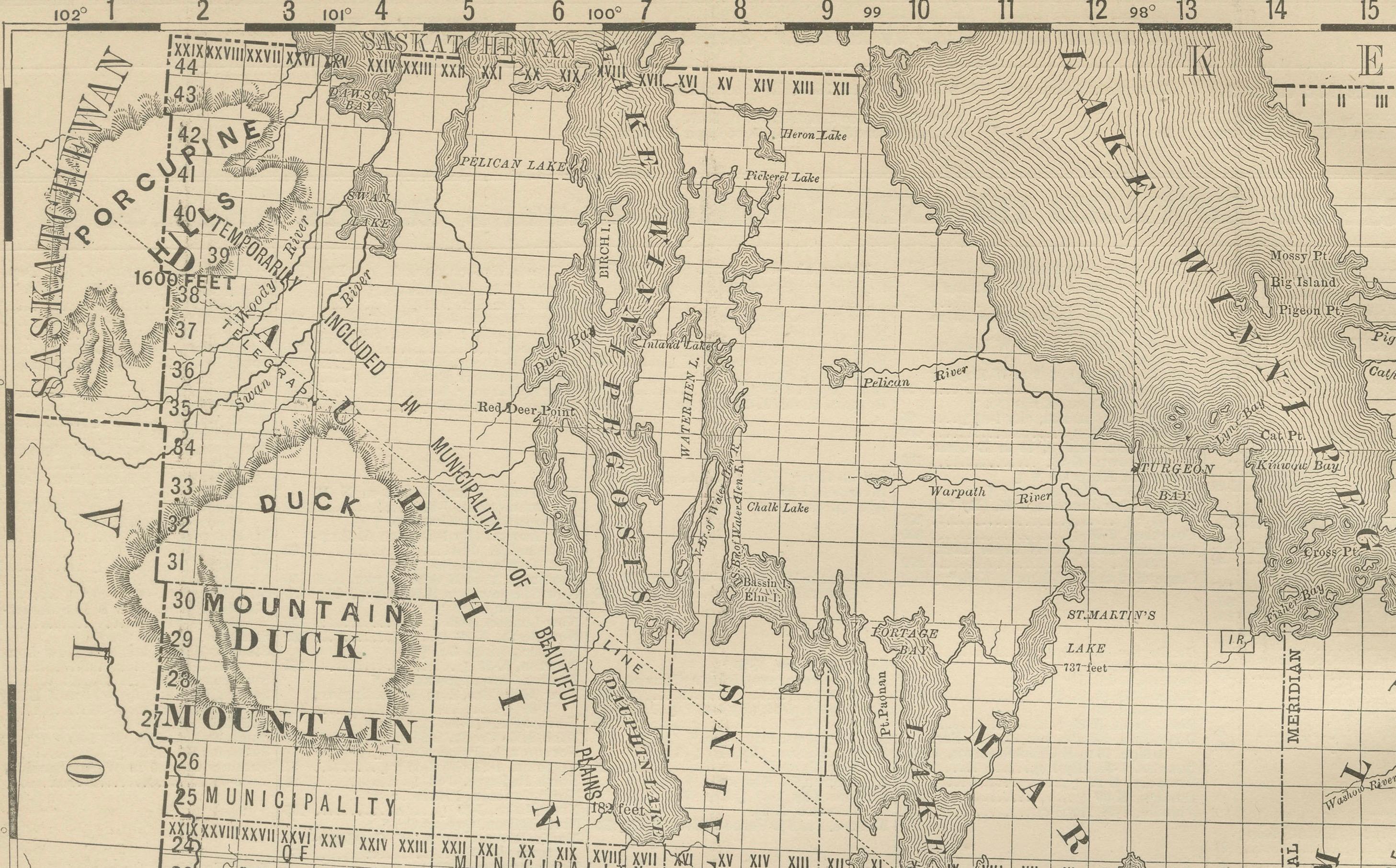
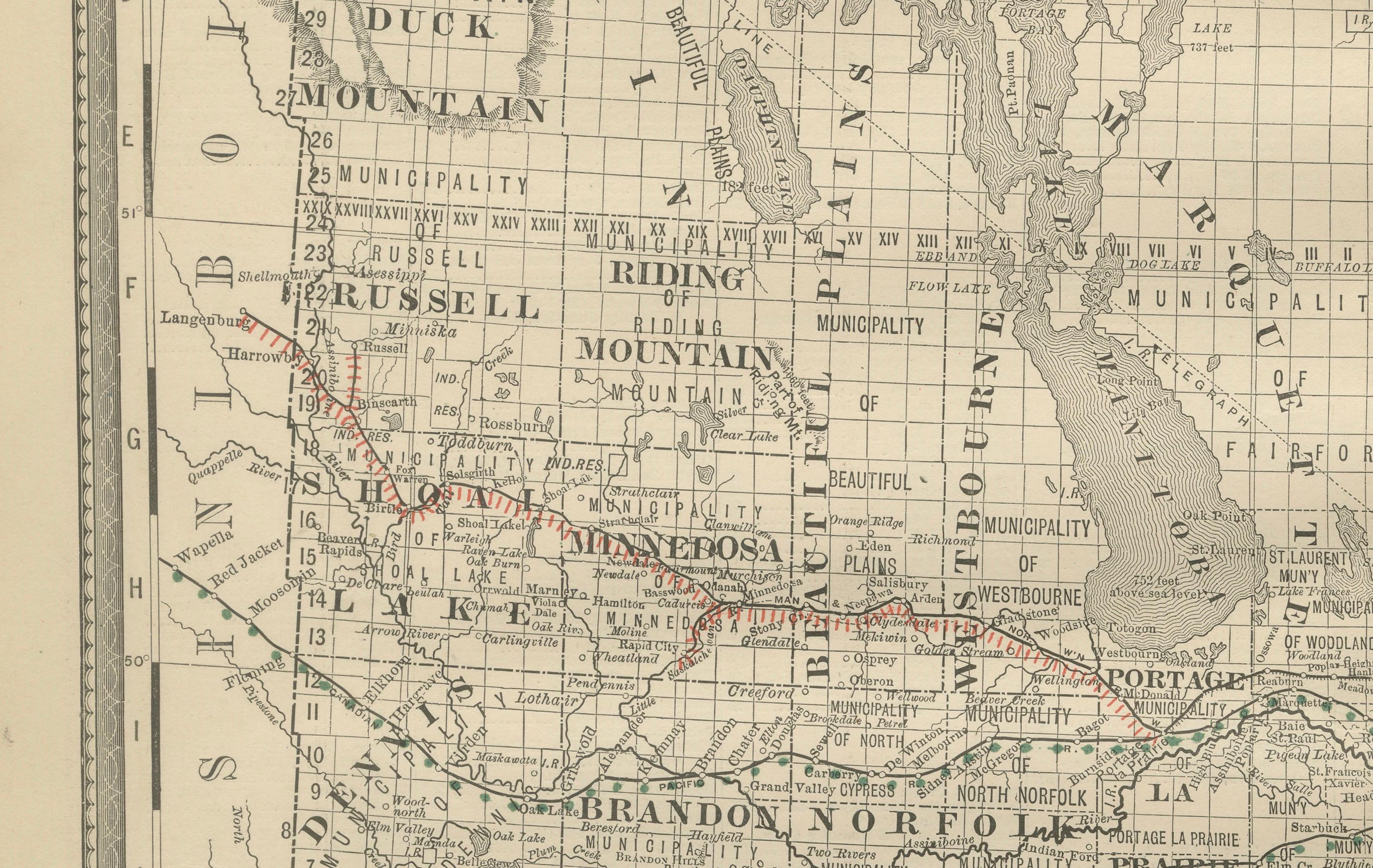
Antique Map of Manitoba, Canada – Rand McNally, circa 1888 This antique map of Manitoba was published by Rand, McNally & Co. around 1888. It offers a detailed look at the province during a period of rapid settlement and railway expansion, just over a decade after Manitoba entered Canadian Confederation in 1870.
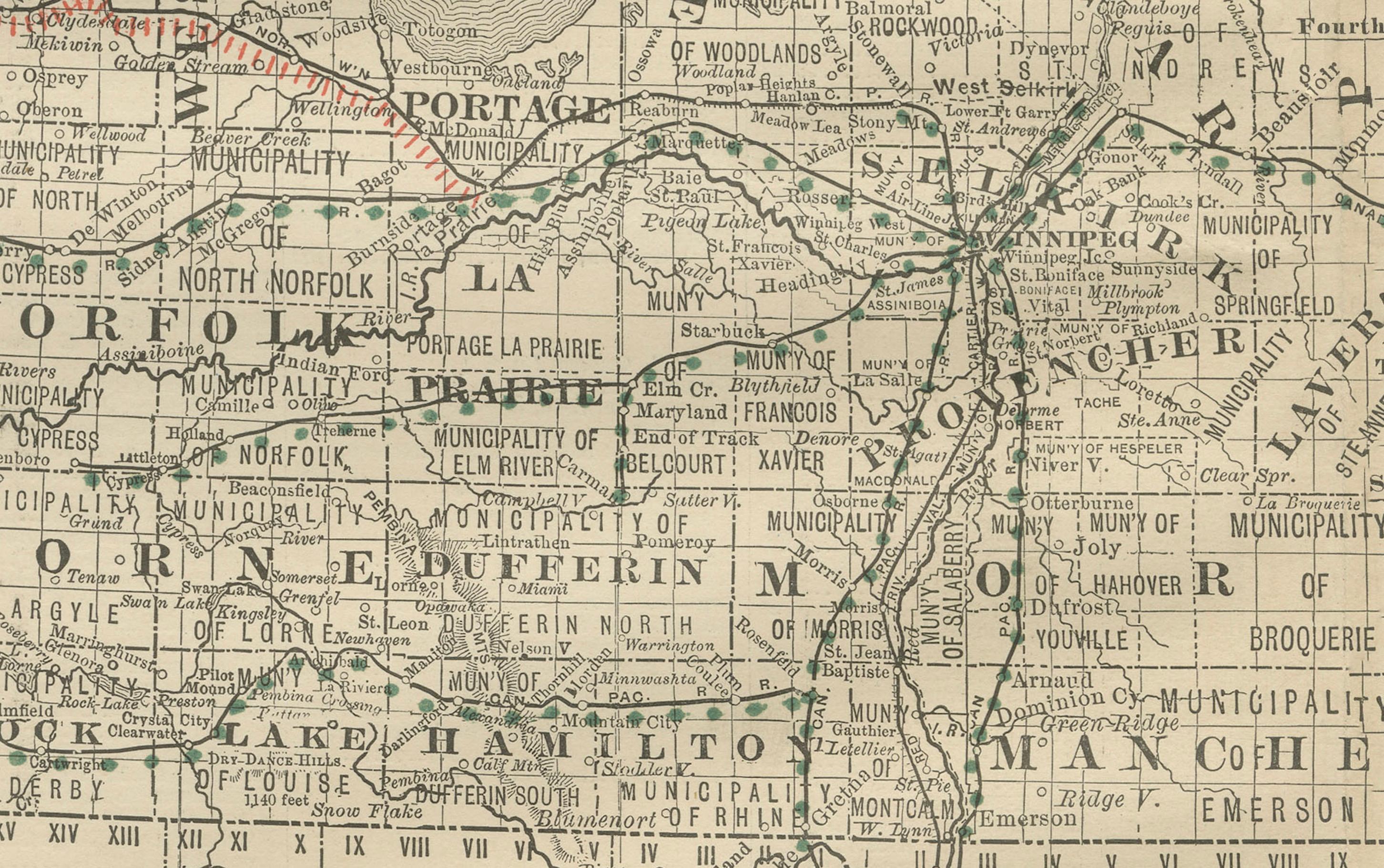
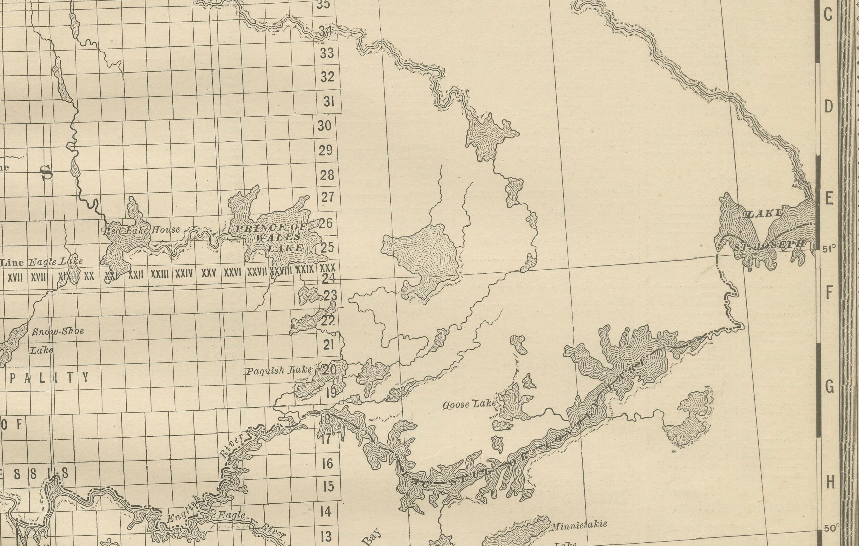
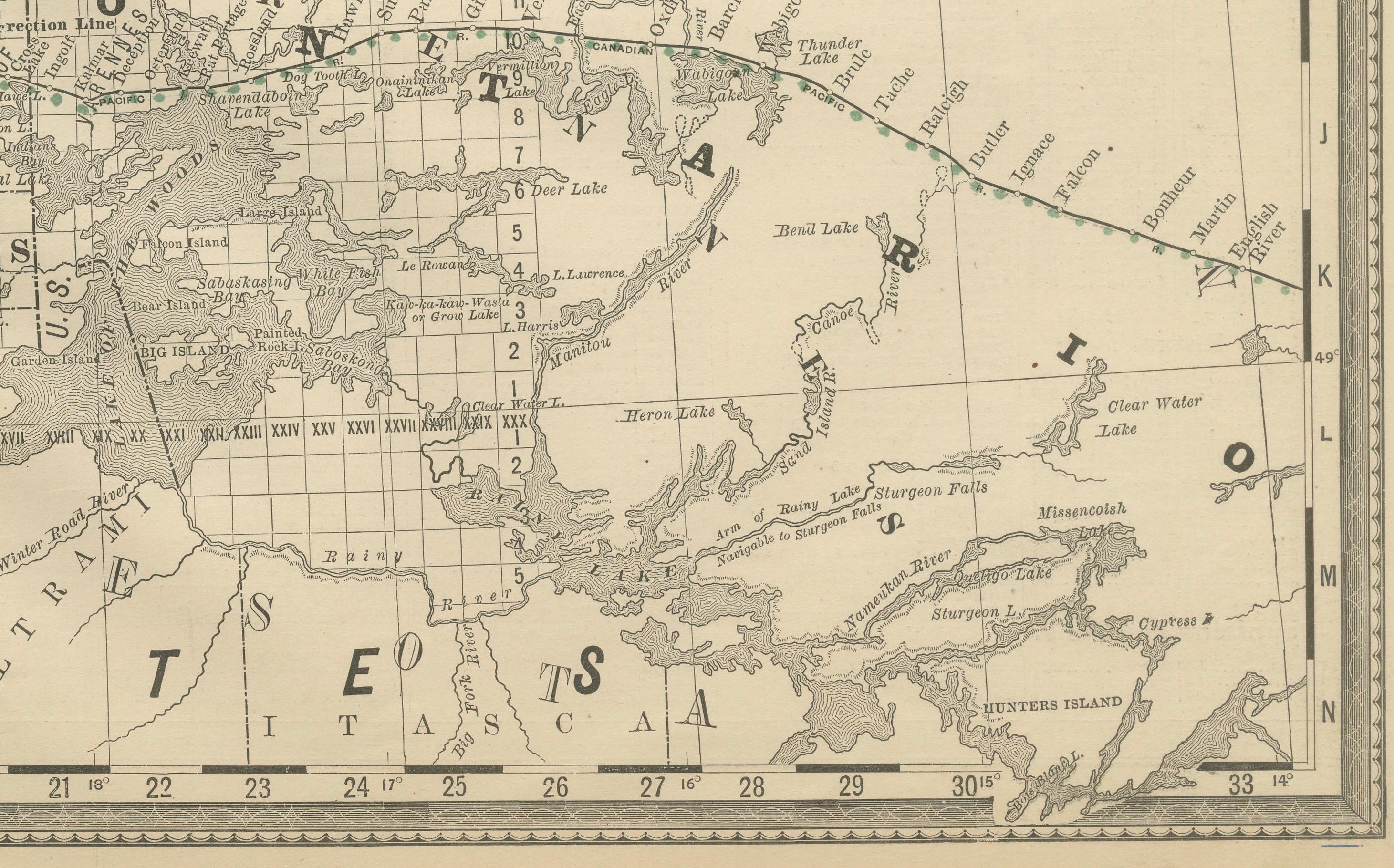
The map spans from the U.S. border northwards past Lake Winnipeg, with settlements, municipalities, and townships neatly laid out in the survey grid system typical of the prairies. The Red River, Assiniboine River, and Lake Winnipeg dominate the geography, with numerous smaller rivers and lakes carefully engraved.
Railways are prominently featured in red and green, with the Canadian Pacific Railway forming the backbone of transportation, linking Winnipeg to the rest of Canada. Branch lines extend outward across the province, reflecting the rapid growth of agriculture and commerce in the late 19th century. Winnipeg, Brandon, and Portage la Prairie are among the key towns highlighted.
This map is valuable not only for its geographical precision but also for its historical significance, capturing Manitoba during a formative era of expansion, immigration, and economic development. It is a fine piece for collectors of Canadian cartography, prairie history, or 19th-century railway maps.
Condition report: Very good condition with mild toning and slight darkening along the original center fold. Plate mark visible. Margins clean with only minimal handling wear. Strong impression with crisp detail.
Framing tips: A dark oak or walnut frame with a cream mat will highlight the engraved detail. A double mat with ivory outer and muted green inner will emphasize Manitoba’s prairie landscape and settlement grid.
Technique: Lithograph with original outline color Maker: Rand, McNally & Co., Chicago, circa 1888