About this sheet
Georgia Map 1888 – Rand McNally Antique Lithograph
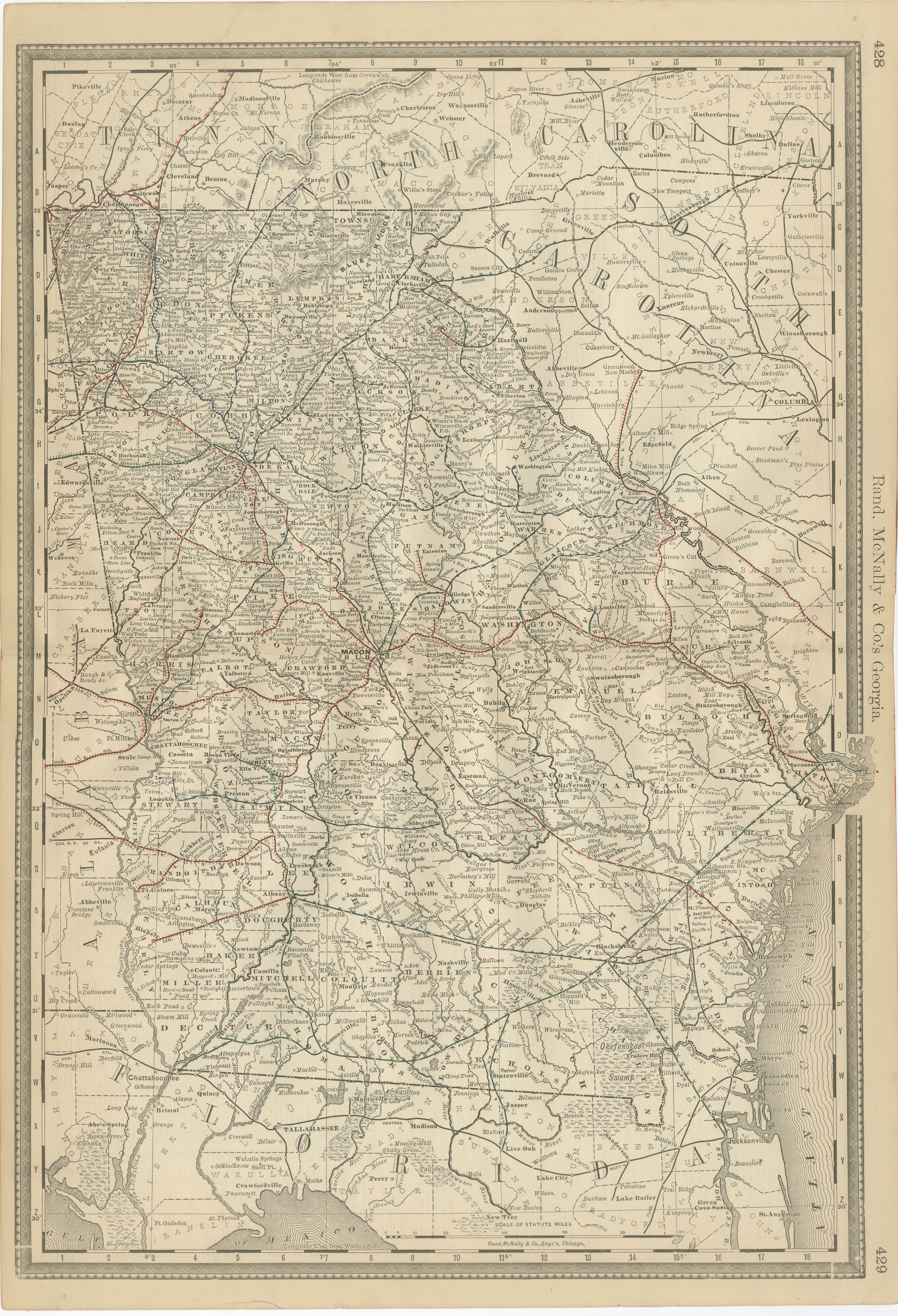
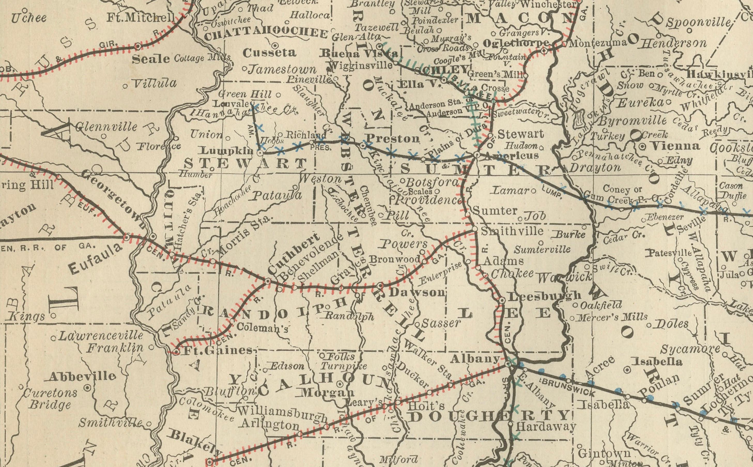
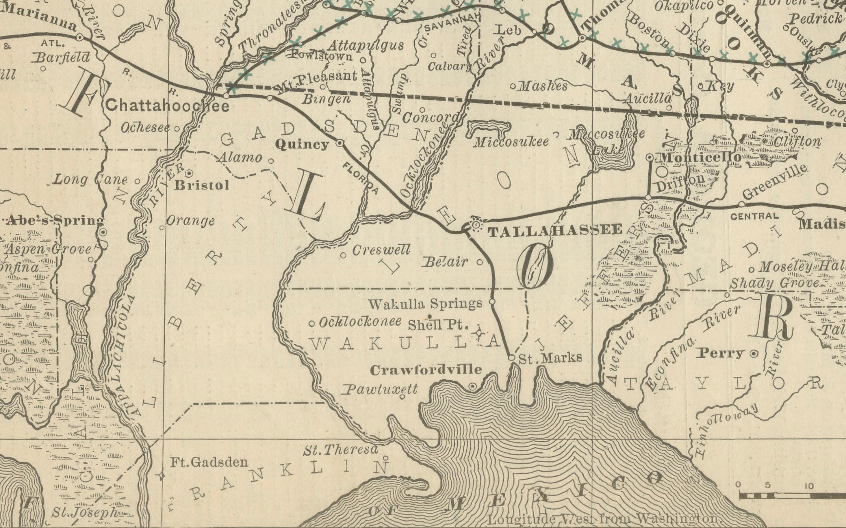
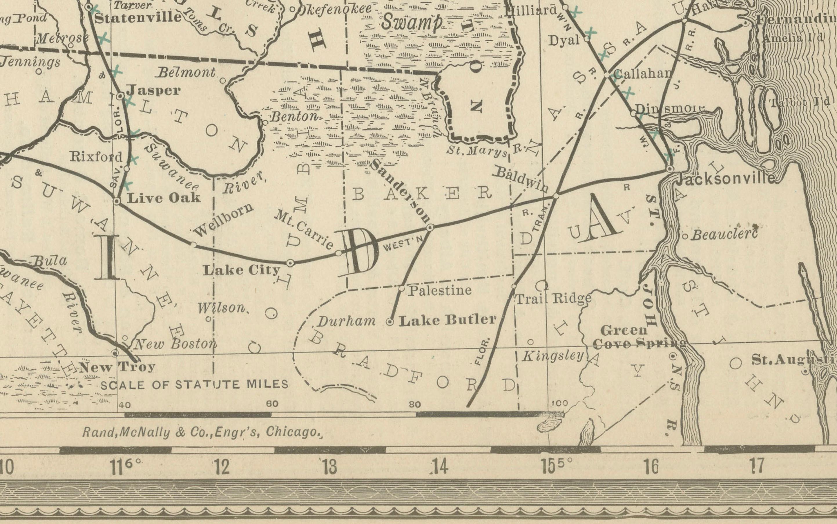
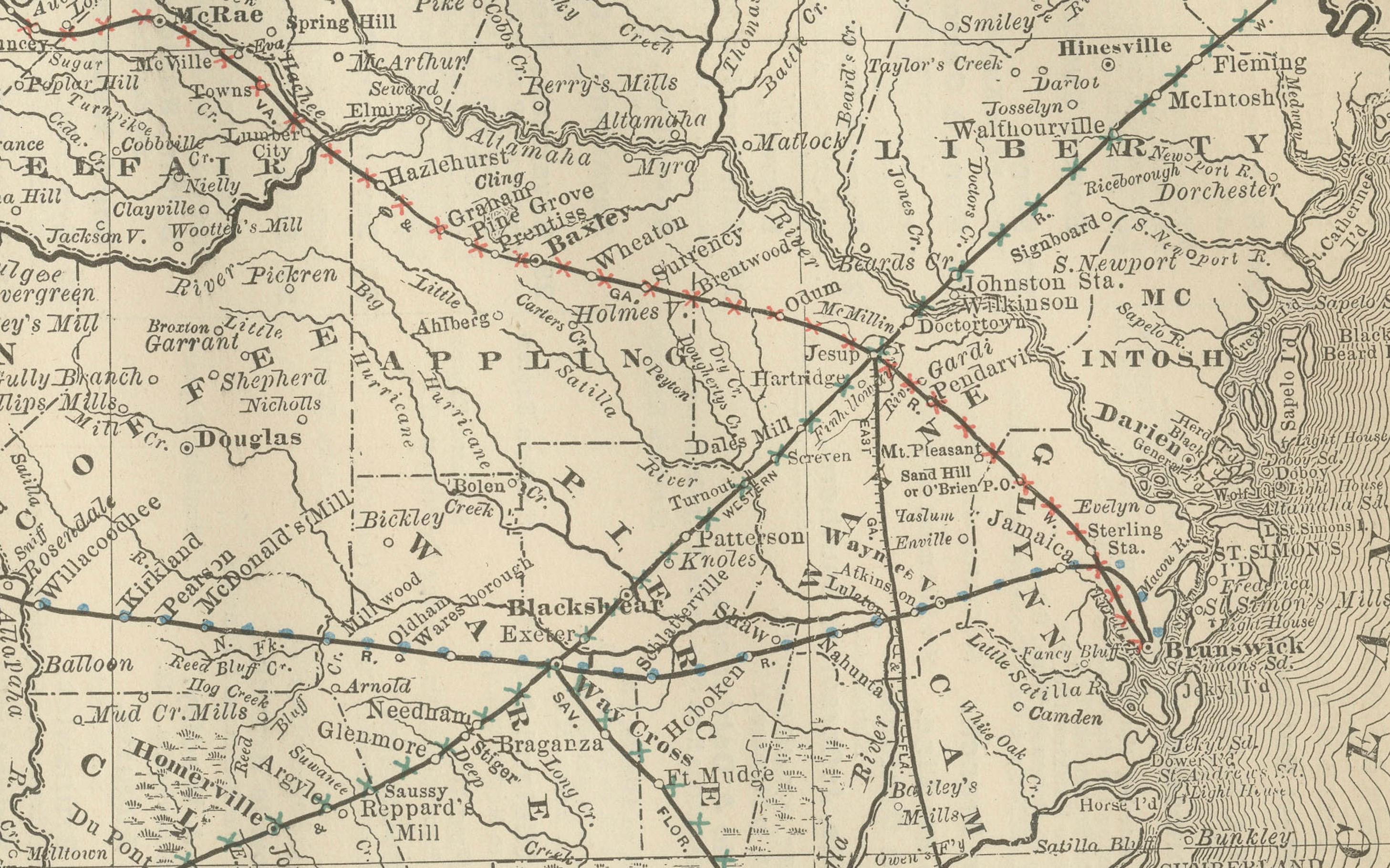
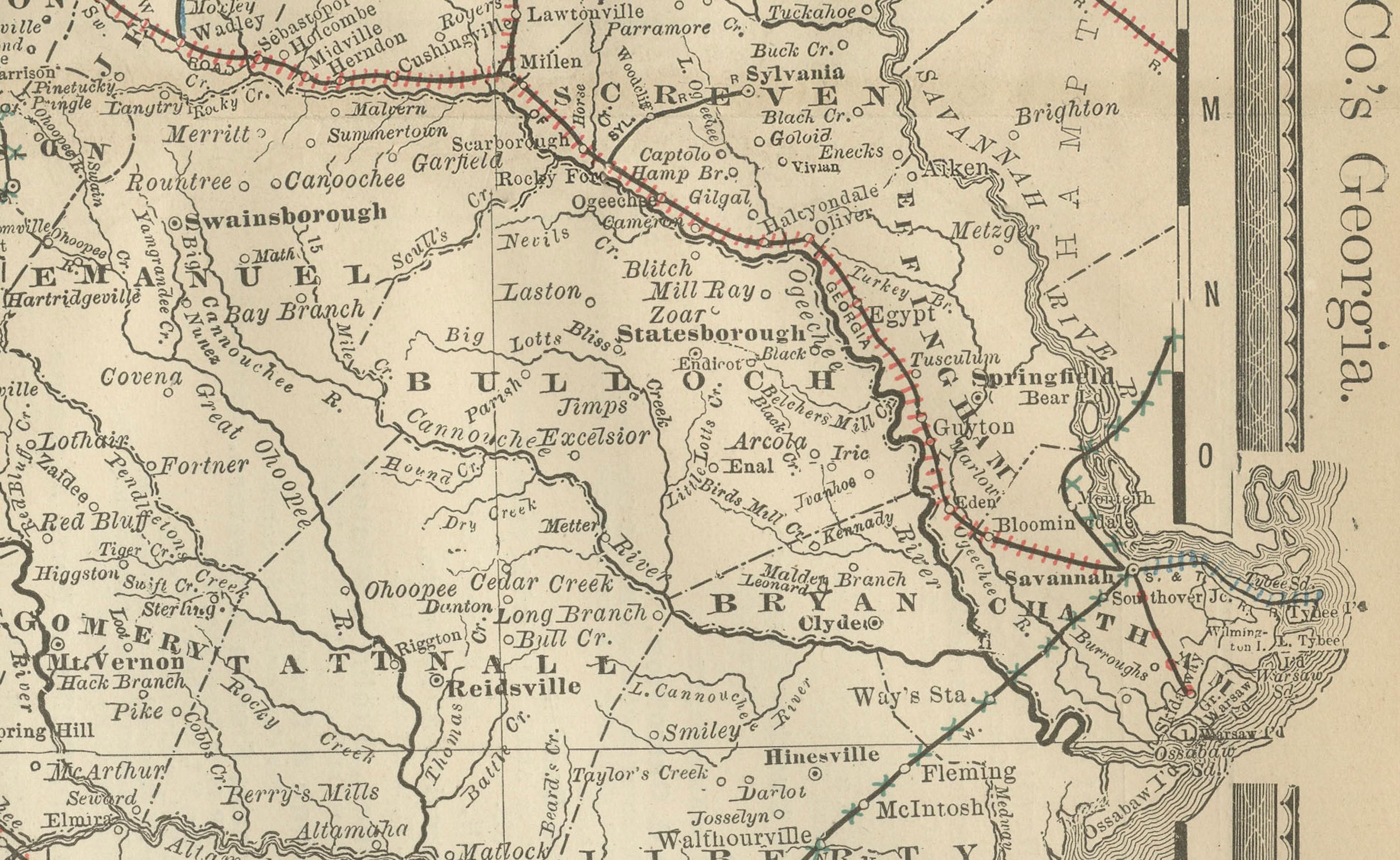
This antique 1888 map of Georgia, published by Rand, McNally & Co., offers a detailed portrayal of the state in the post-Reconstruction era, when railroads, agriculture, and emerging industries were reshaping the region’s economy and society. The map provides a comprehensive view of counties, towns, railroads, and geographic features, capturing Georgia at a moment of transition and growth in the late 19th century.
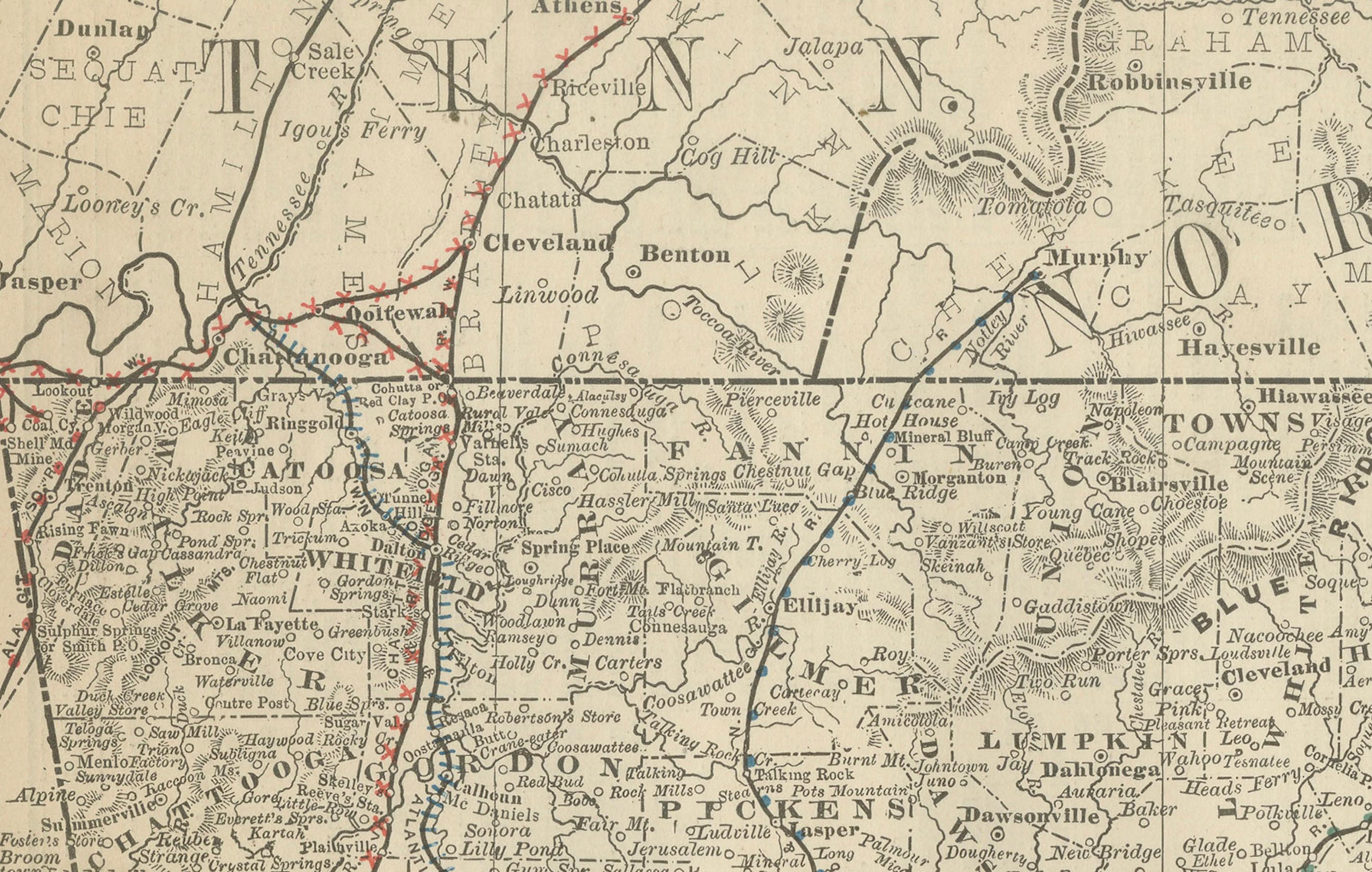
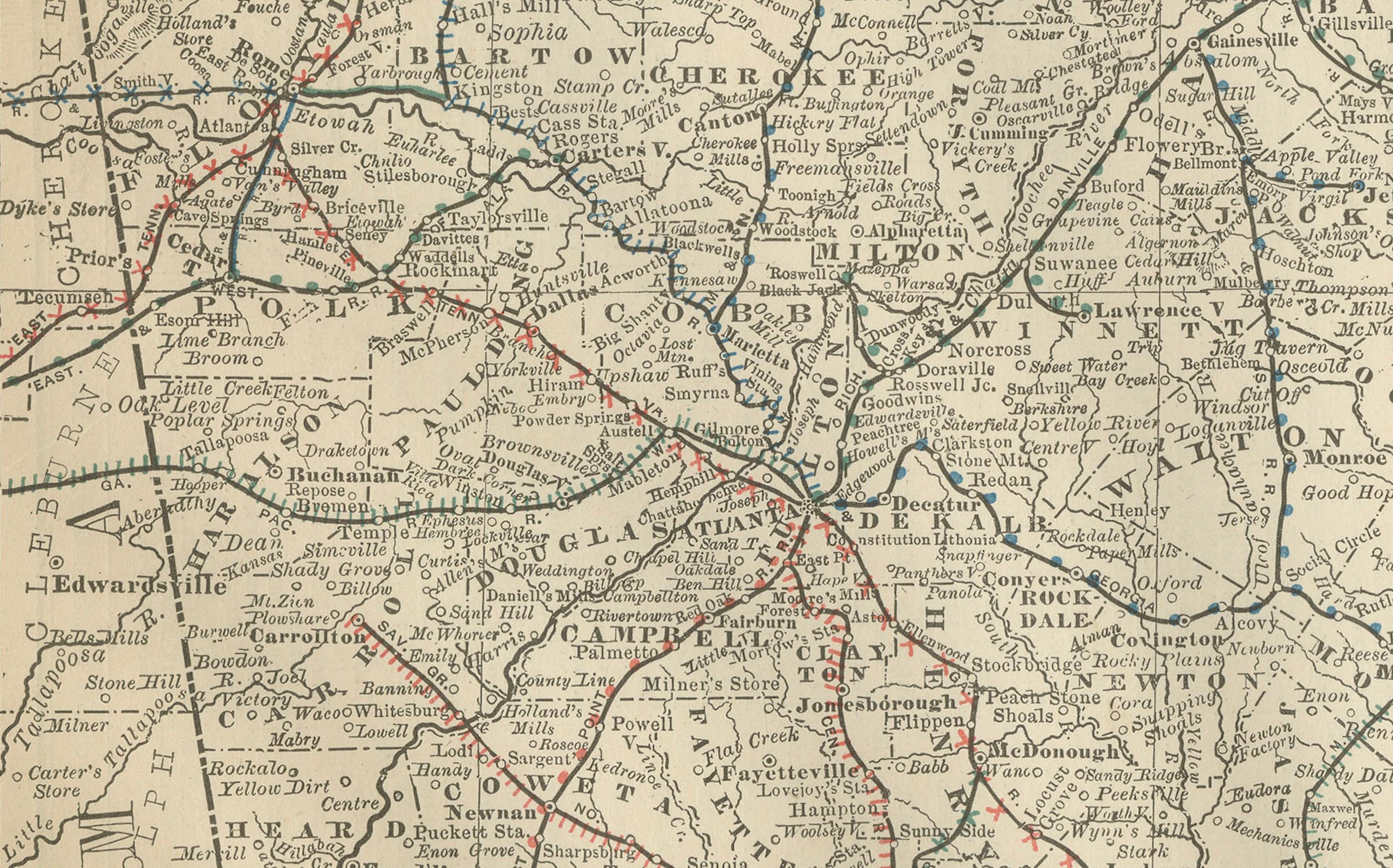
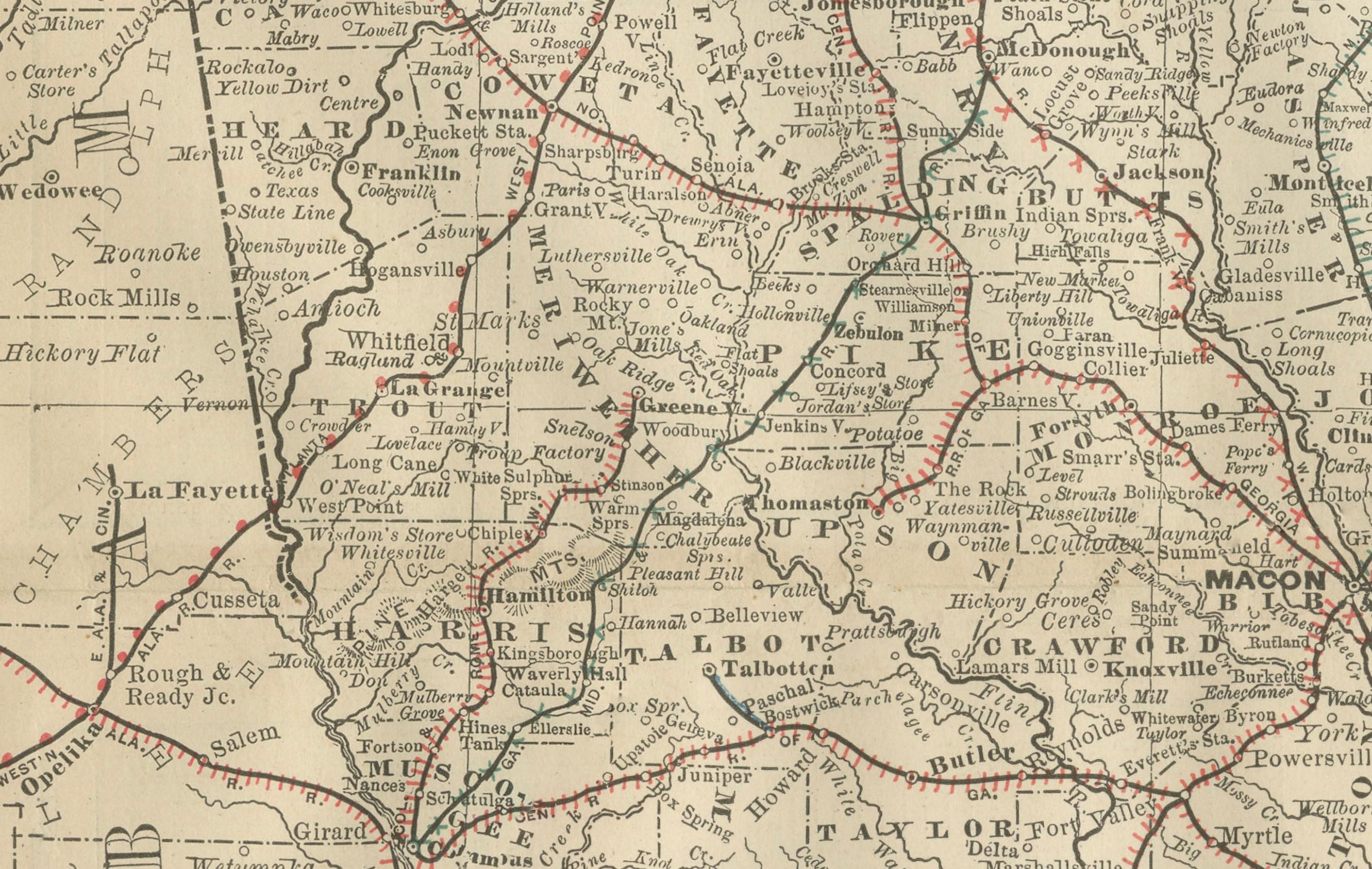
The map carefully delineates all counties, with their borders crisply engraved and county seats clearly marked. Major cities such as Atlanta, Augusta, Savannah, and Macon are emphasized, reflecting their central roles in commerce, politics, and transportation. Numerous smaller towns and railroad depots appear across the state, providing a valuable record of settlement and development at the time.
Railroads, drawn in red and blue, dominate the map and highlight Georgia’s role as a transportation hub of the South. The Western & Atlantic, Central of Georgia, Georgia Railroad, and other lines connect Atlanta with the port city of Savannah and extend into surrounding states. These railroads were essential for moving cotton, lumber, and manufactured goods, while also fueling Georgia’s reintegration into the broader national economy.
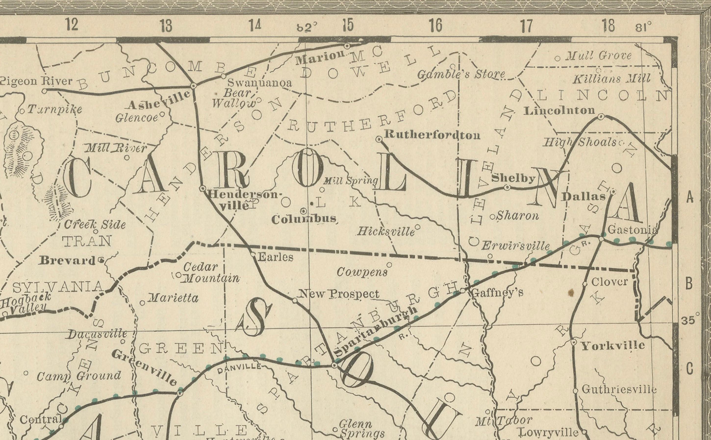
Natural features, including rivers such as the Chattahoochee, Savannah, and Ocmulgee, are clearly depicted, as is the Atlantic coastline with Savannah and Brunswick as major port cities. The map also captures Georgia’s position as a crossroads state, bordered by Alabama, Florida, South Carolina, North Carolina, and Tennessee, with railroad and river links extending outward in all directions.
As with other Rand, McNally maps of this era, the cartographic detail is precise and practical, reflecting the publisher’s reputation as a leading producer of late 19th-century maps. For historians, collectors, and genealogists, this map offers a vivid picture of Georgia during a period of economic modernization and demographic growth, making it a valuable artifact of Southern history.
Condition: Very good, with light toning and mild foxing along margins and fold line. Plate mark visible. Slight wear along edges consistent with age, but paper remains clean and strong with no tears or losses.
Framing tips: A black or cherry wood frame with a cream mat will highlight the railroad network. A secondary mat in red or blue will enhance the fine printed lines of the map while complementing Georgia’s regional identity.
Technique: Lithograph with printed detail
Maker: Rand, McNally & Co., Chicago, 1888