About this sheet
Antique Map of New Jersey – Rand McNally, circa 1888
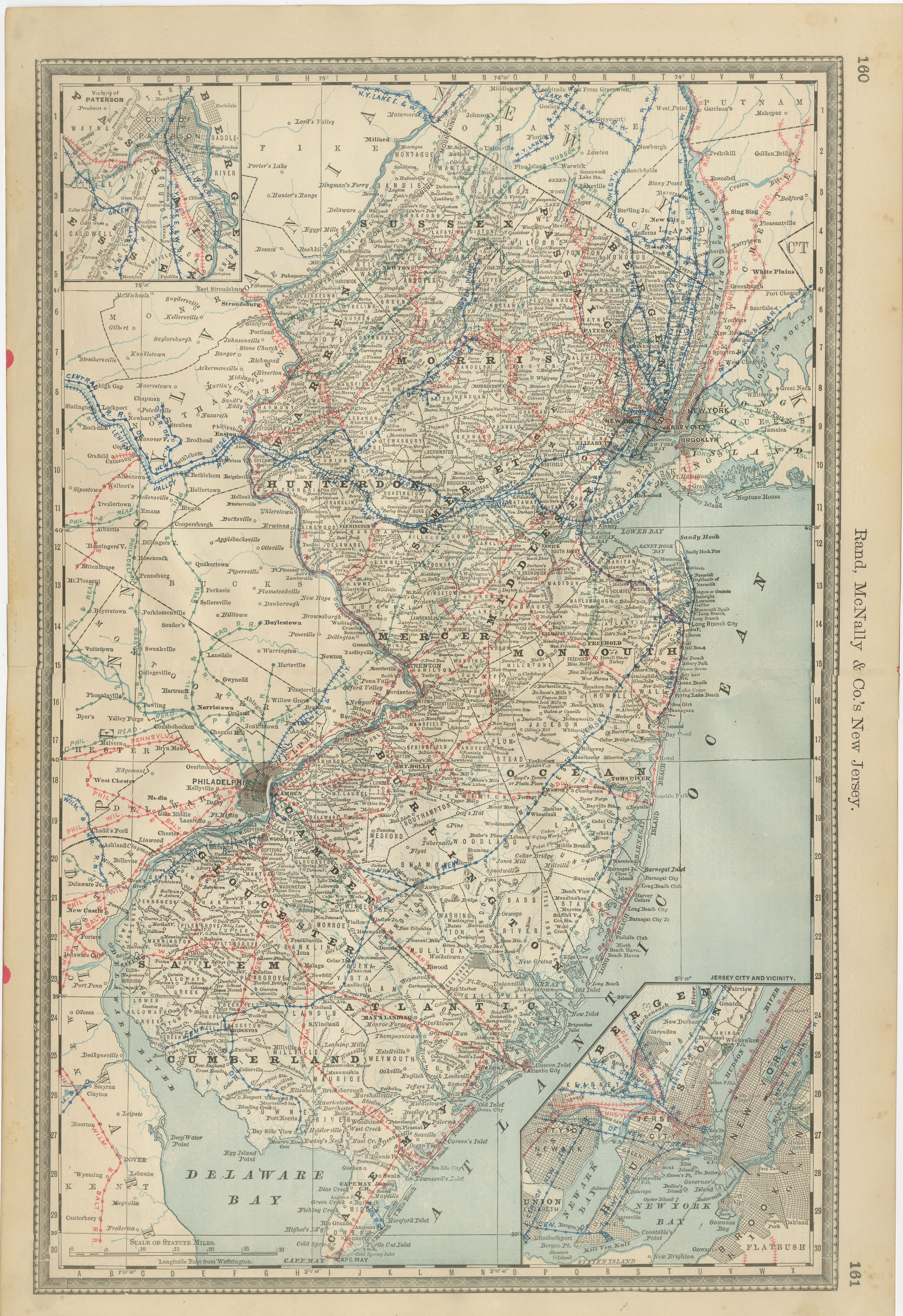
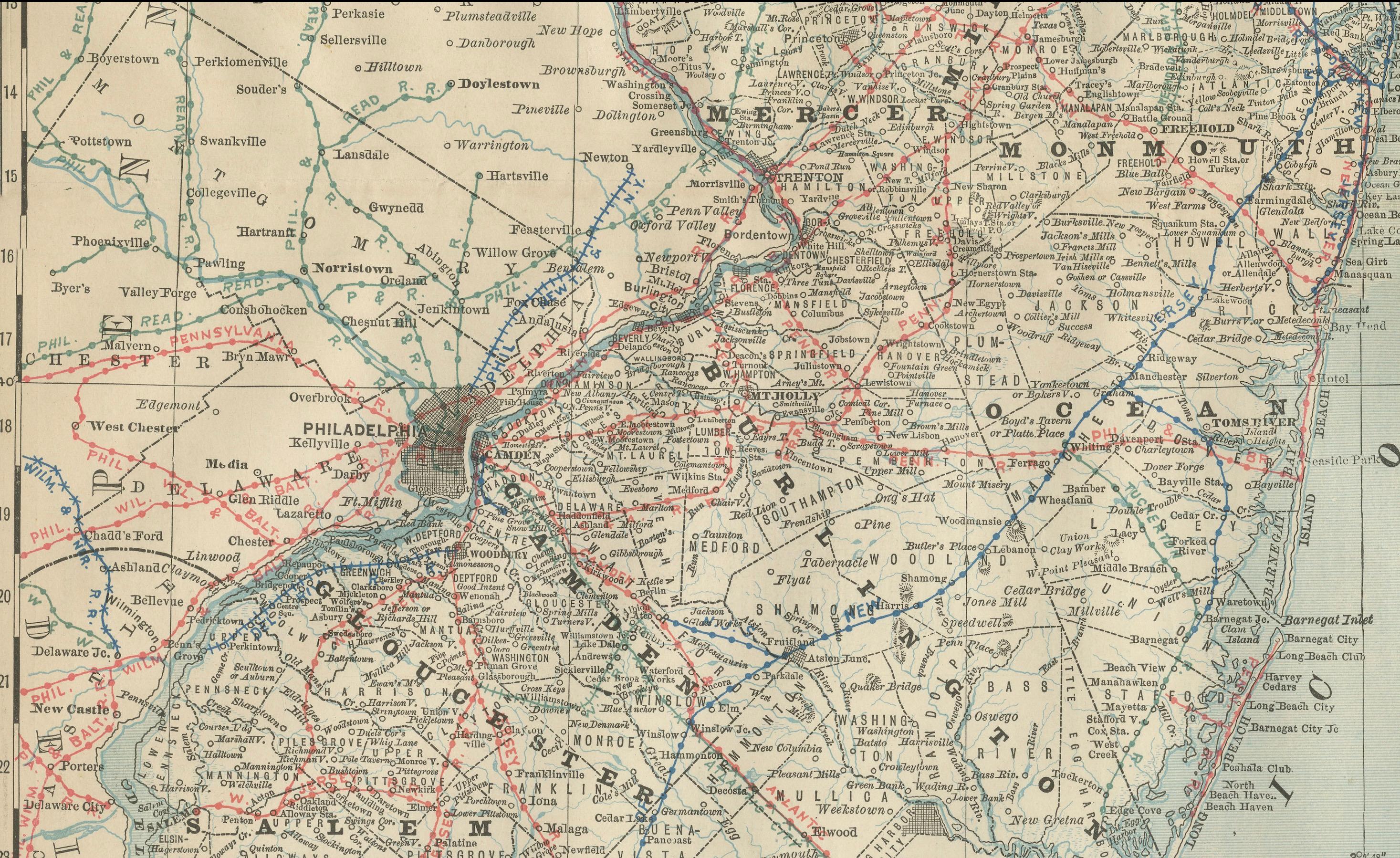
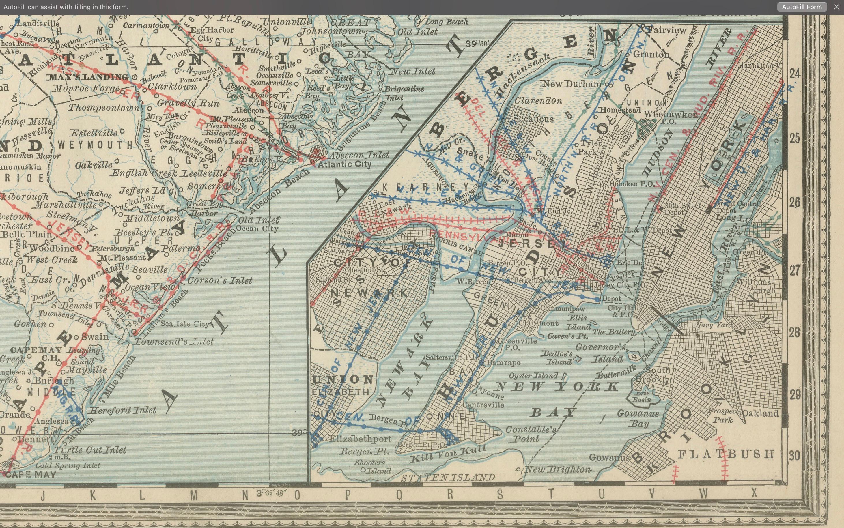
This antique map of New Jersey was published by Rand, McNally & Co. around 1888. It offers a detailed late 19th-century portrait of the Garden State, highlighting its counties, towns, railroads, and waterways, as well as the critical links to New York and Philadelphia.
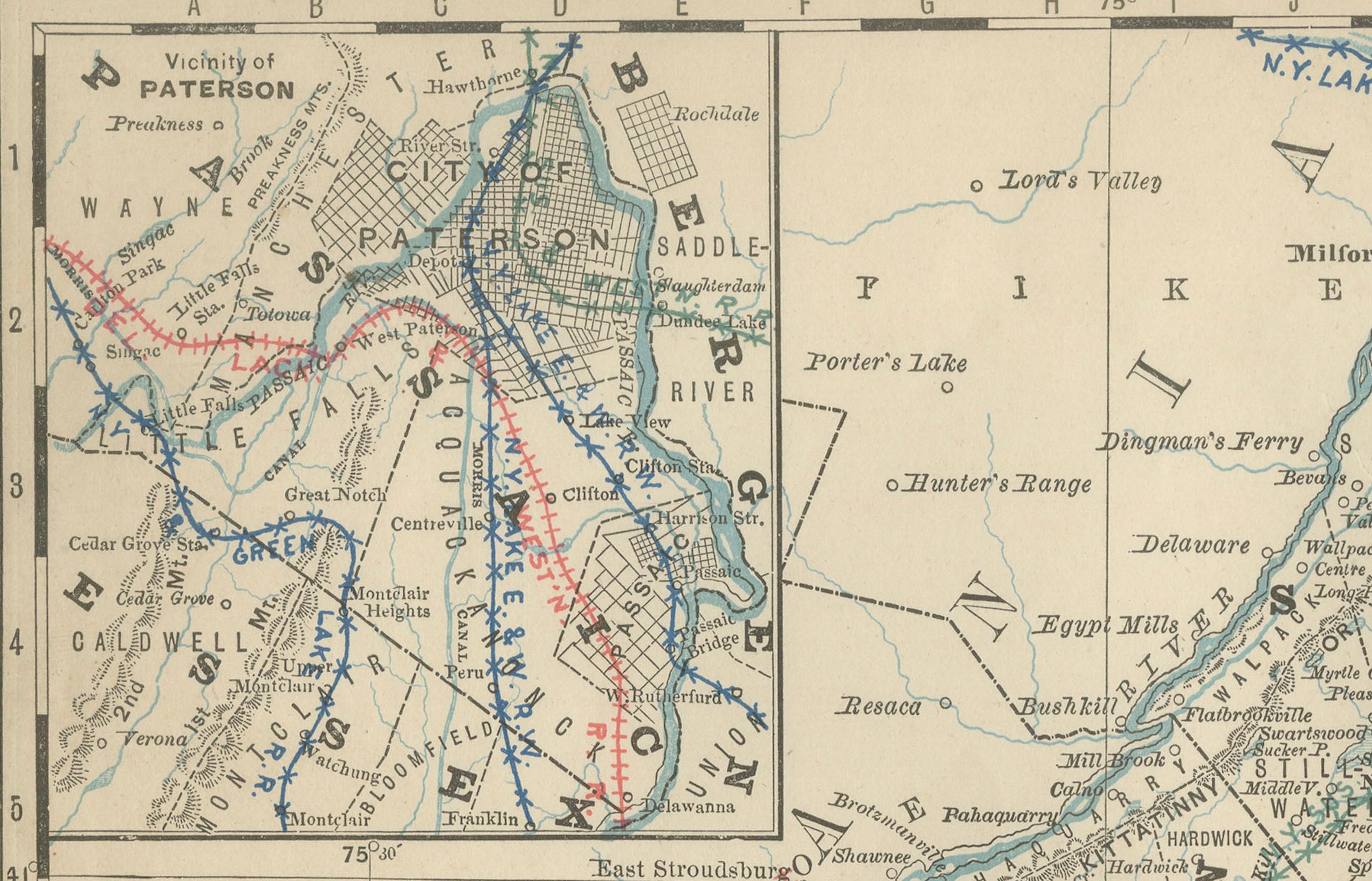
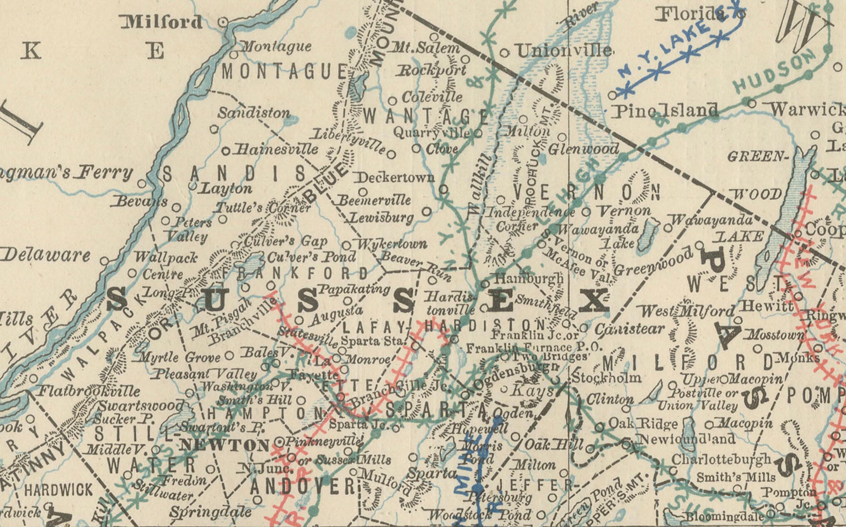
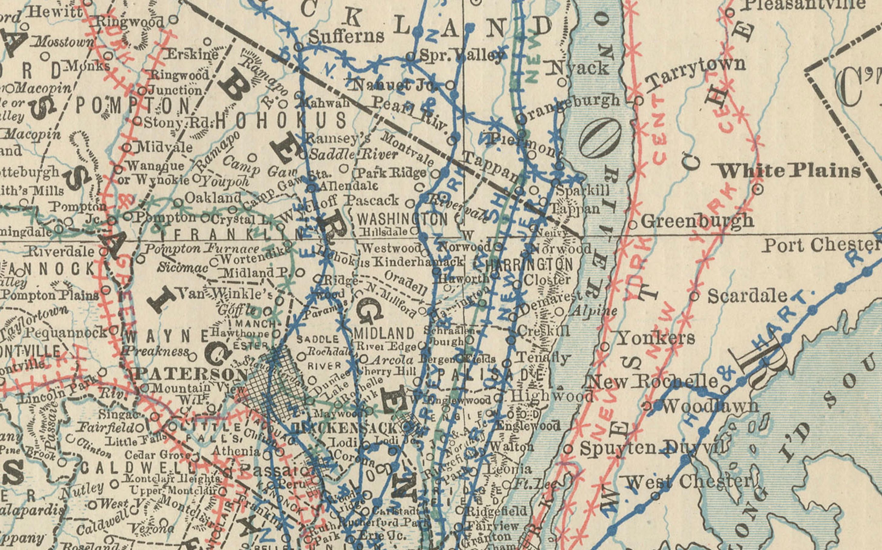
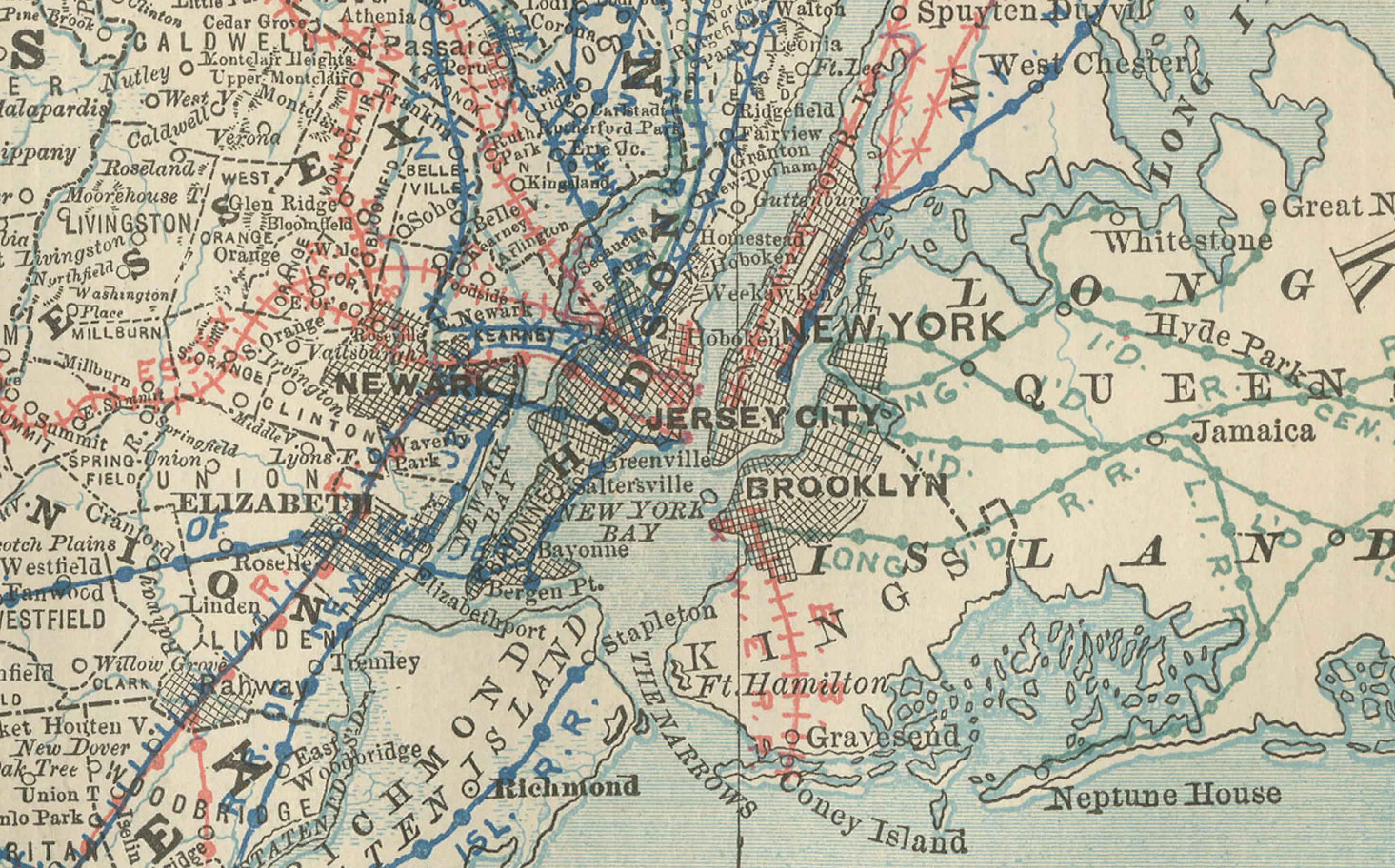
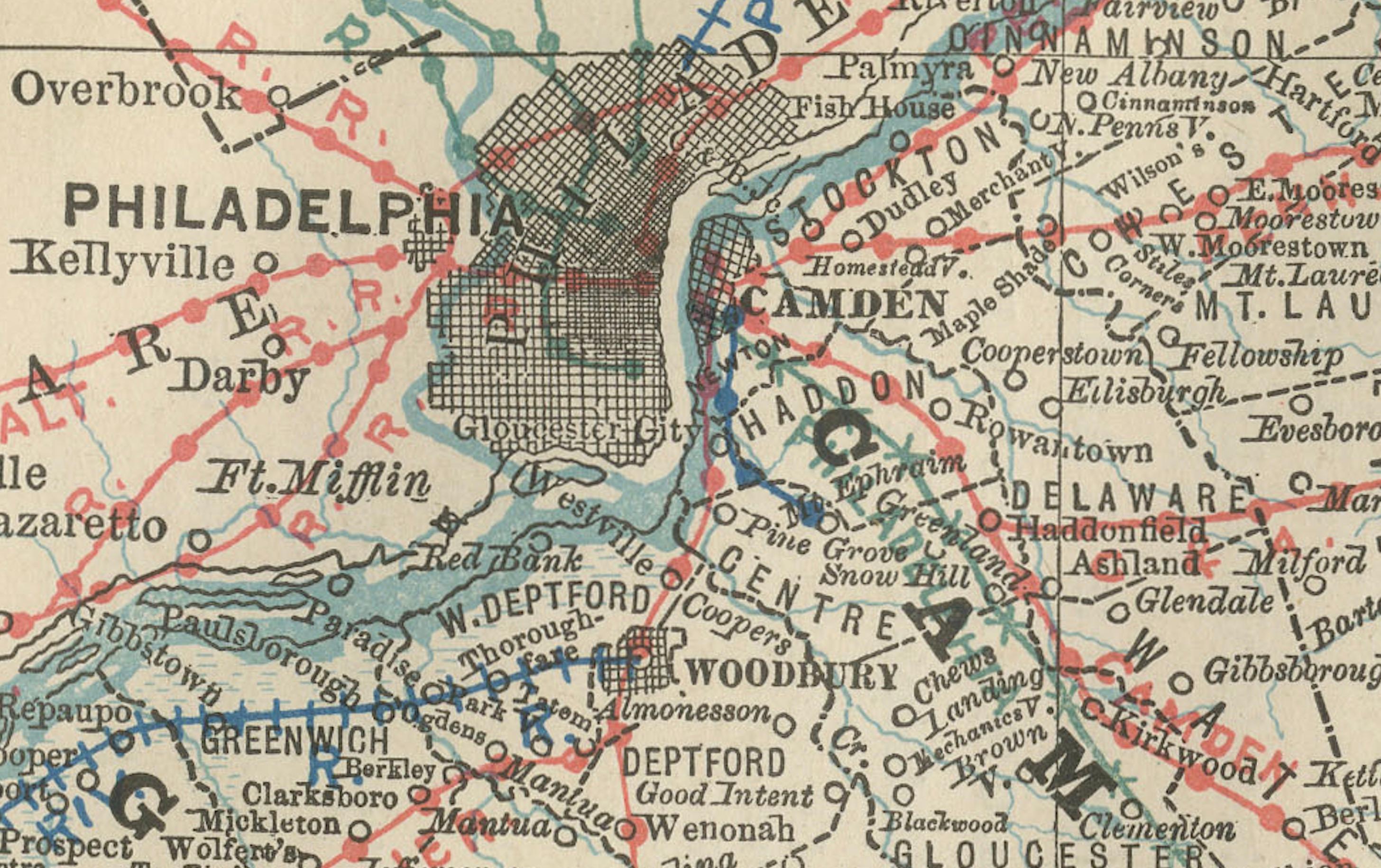
The map shows the entire state of New Jersey, with counties finely outlined and towns and villages clearly labeled. Railroads dominate the map, marked in red and blue, underscoring the state’s role as a transportation corridor between major metropolitan centers. The dense networks around Newark, Jersey City, Camden, and Trenton illustrate New Jersey’s rapid industrial and suburban growth during the Gilded Age.
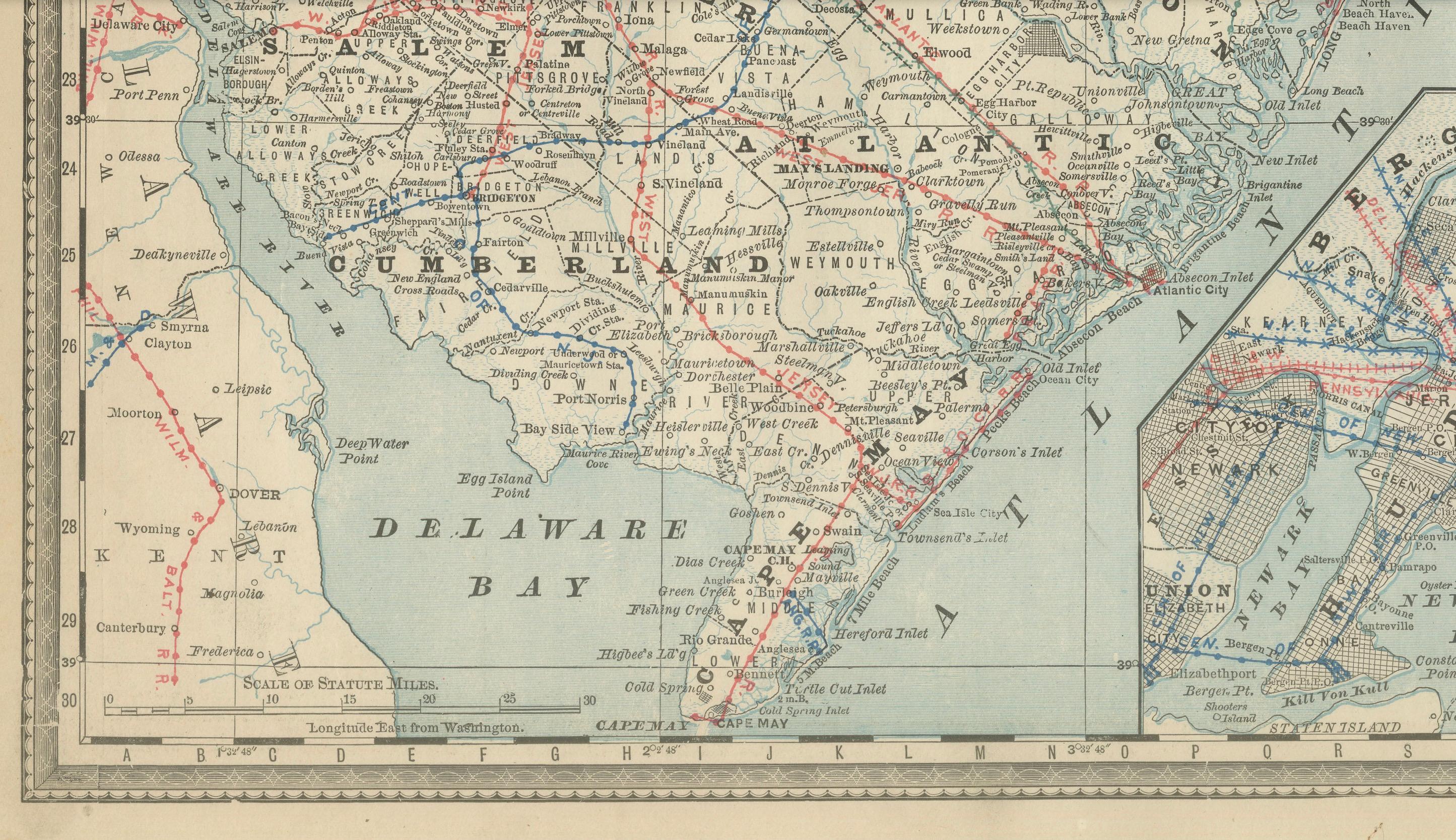
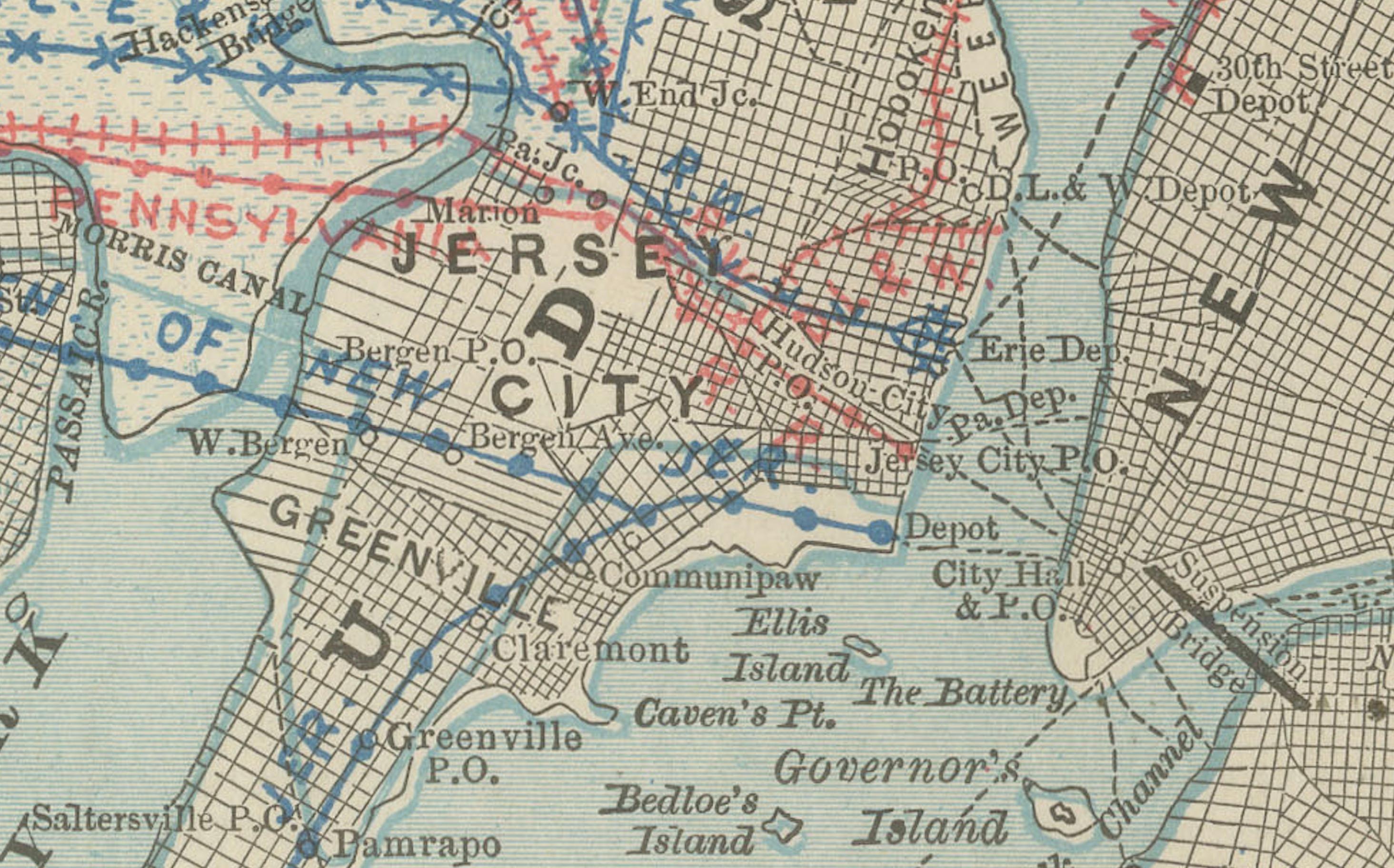
Particularly appealing are the insets, including a detailed map of New York City and adjacent New Jersey, and an inset of the southern portion of the state. These provide a closer look at the heavily urbanized and economically vital areas, making this map both functional and decorative.
The Atlantic coast, from Sandy Hook to Cape May, is carefully engraved, reflecting New Jersey’s role as both a shipping hub and a seaside destination. Together, the geographic, industrial, and coastal elements capture the dynamic identity of New Jersey in the late 1800s.
Condition report:
Very good condition with mild toning and clean margins. Original center fold as issued with faint darkening along the crease. Plate mark visible. Strong impression with crisp detail and attractive insets.
Framing tips:
A black or walnut frame with an ivory mat will emphasize the map’s engraving. A double mat with ivory outer and pale blue inner will draw attention to the Atlantic coastline and New York Harbor inset, making for a striking display.
Technique: Lithograph with original outline color
Maker: Rand, McNally & Co., Chicago, circa 1888