Original antique · The actual sheet photographed · Certificate of authenticity on request · Sold unframed · Worldwide shipping from € 15 (rates)
Date
1888
Sheet size
36 × 52.5 cm (14.2 × 20.7 in)
Reference
BG-12794-41
What the condition grades mean
Excellent
Bright and clean, with no faults worth mentioning.
Very good
Only light signs of age, such as faint toning.
Good
Normal signs of age for a sheet of this period: toning, some foxing, small marks or neat old repairs.
Fair
Clear faults such as staining, tears or repairs, priced to match.
Every fault we see is written in the condition note, and the whole sheet is shown uncropped in the photos.
Condition
Very good, with light toning and foxing in margins. Plate mark visible. Central fold as issued. Paper strong with no tears or losses.
About this sheet
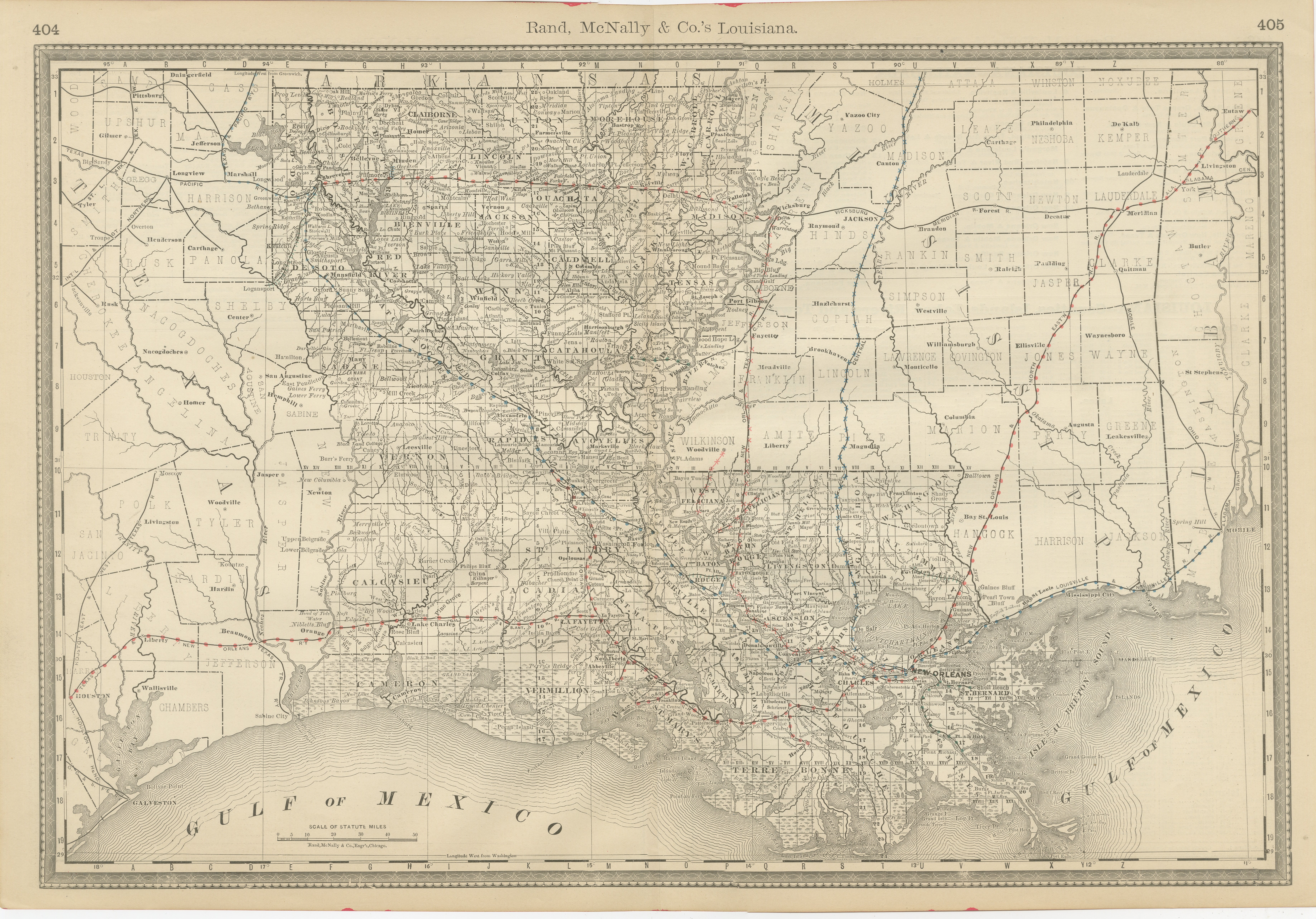
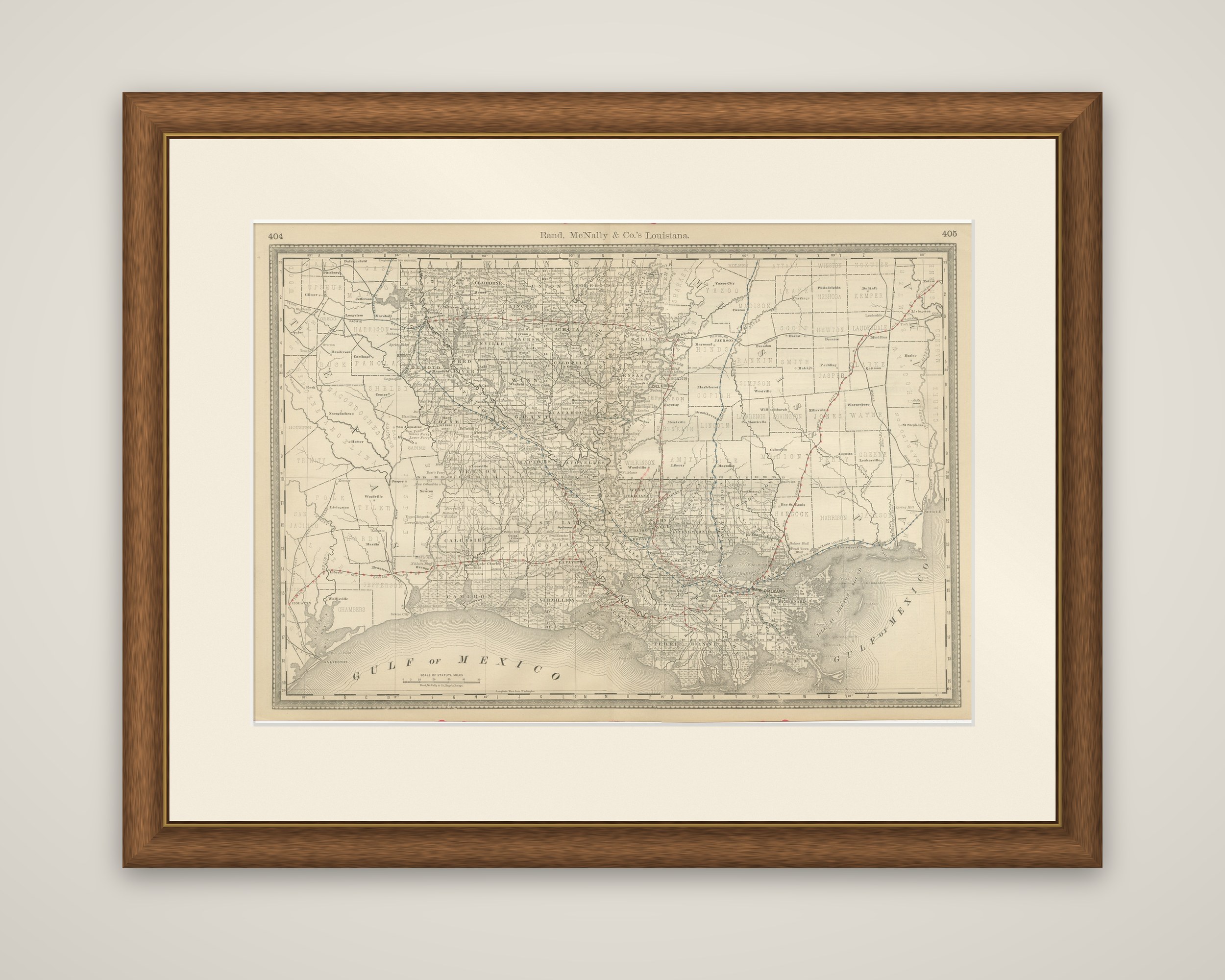
Louisiana in 1888, an original map by Rand, McNally & Co. printed in black on toned paper with railroad lines overprinted in red and blue. The running head "Rand, McNally & Co.'s Louisiana" appears across the top between atlas page numbers 404 and 405.
The state is shown on a wide landscape sheet, with its parishes outlined, and the Gulf of Mexico lettered along the southern coast, where the marshes, lakes and bayous of the delta are drawn in detail around New Orleans. The Mississippi River runs down from the upper right to the delta, and a dense web of railroad lines runs through the central and southern parishes toward New Orleans, with others crossing the northern part of the state. Texas lies to the west, Arkansas above and Mississippi to the east, each lettered at the border.
The sheet records the state in the years after Reconstruction, when new railroads were supplementing the river and bayou trade that had long organized Louisiana's sugar and cotton parishes.