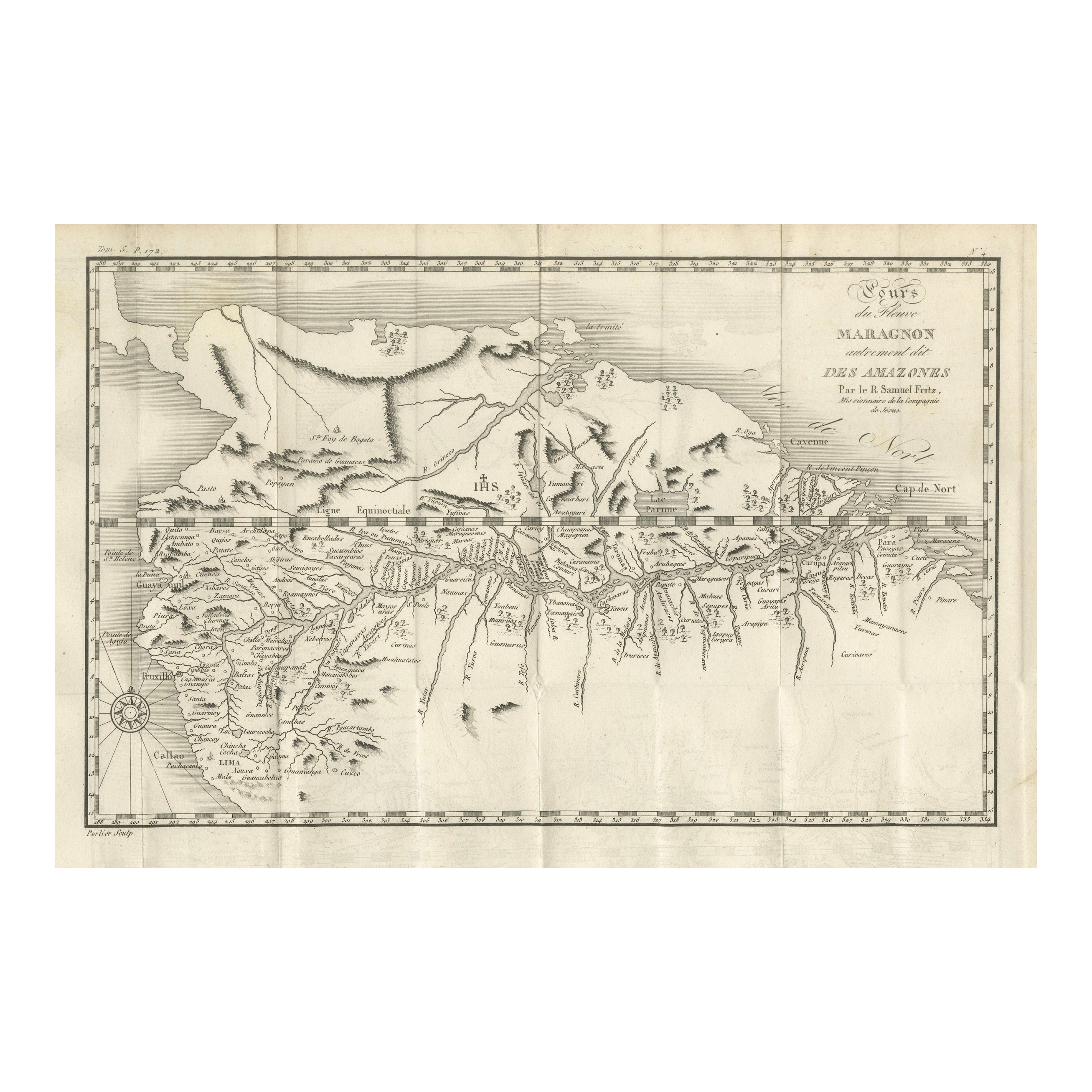
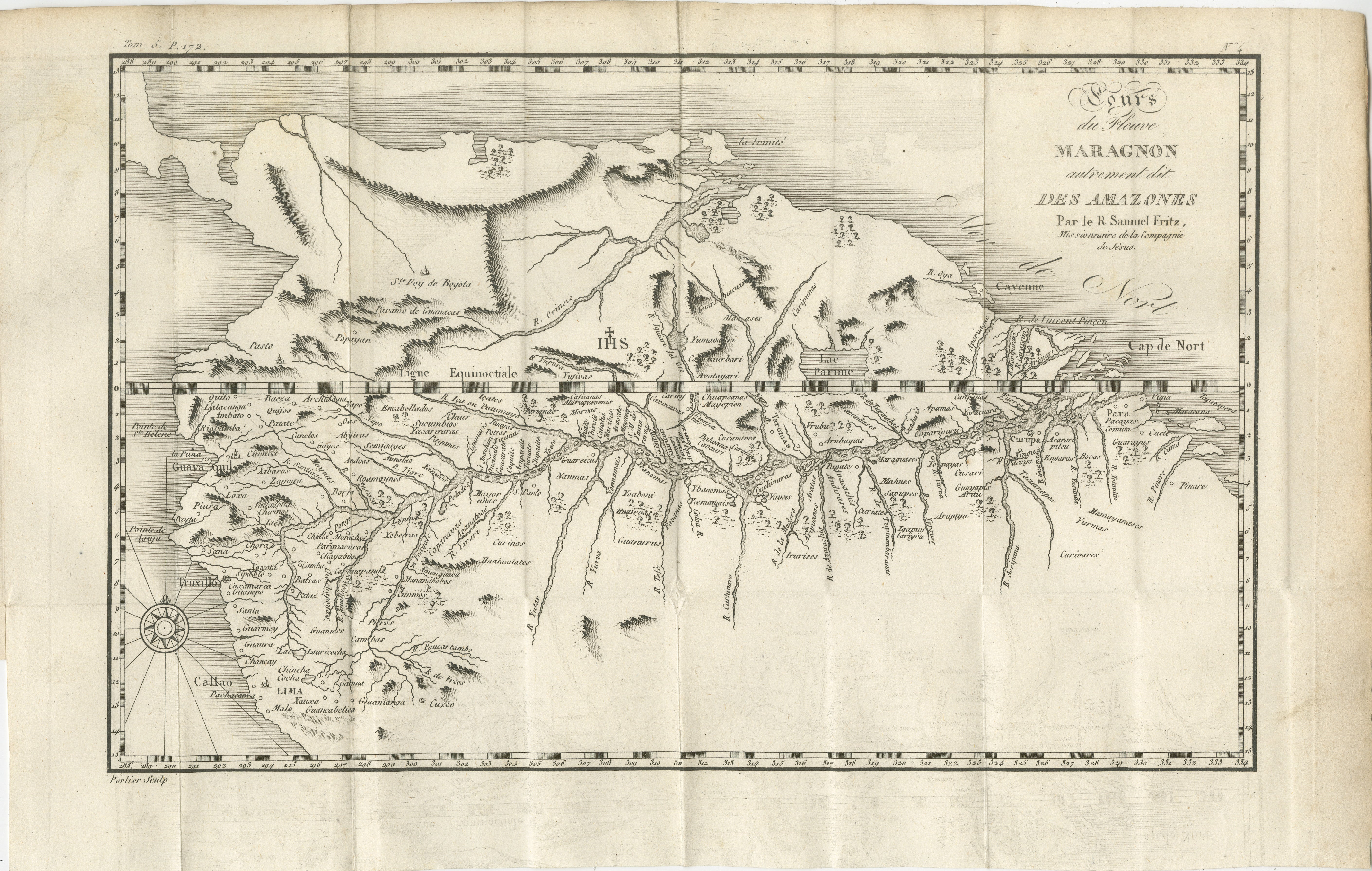
Antique Map of the Amazon River – Maragnon or River of the Amazons, c.1760
€ 460
One of a kind: this is the sheet in the photographs. Ships from Langweer, the Netherlands.
Date
1760
Sheet size
25 × 39.5 cm (9.8 × 15.6 in)
Reference
BG-14078-37
Condition
Very good for age, with folds as issued. Minor toning and faint spotting in margins. Strong plate impression with fine engraved detail.
About this sheet
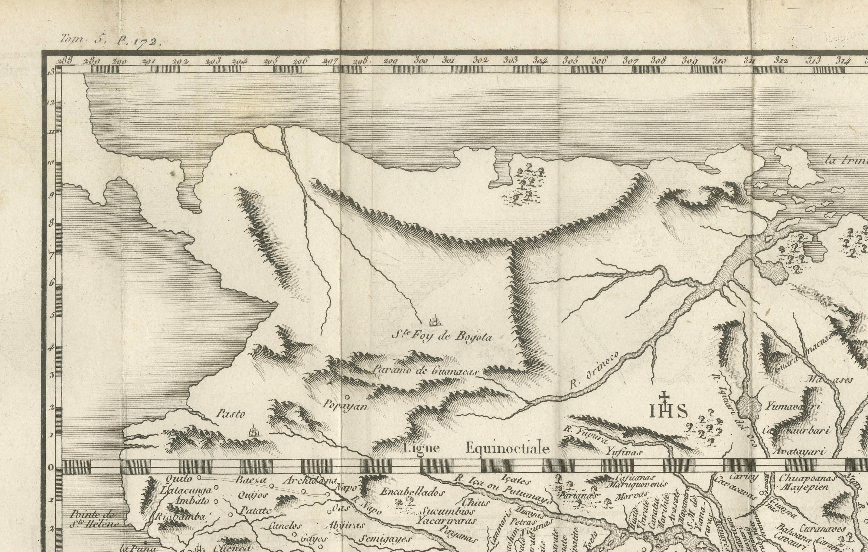
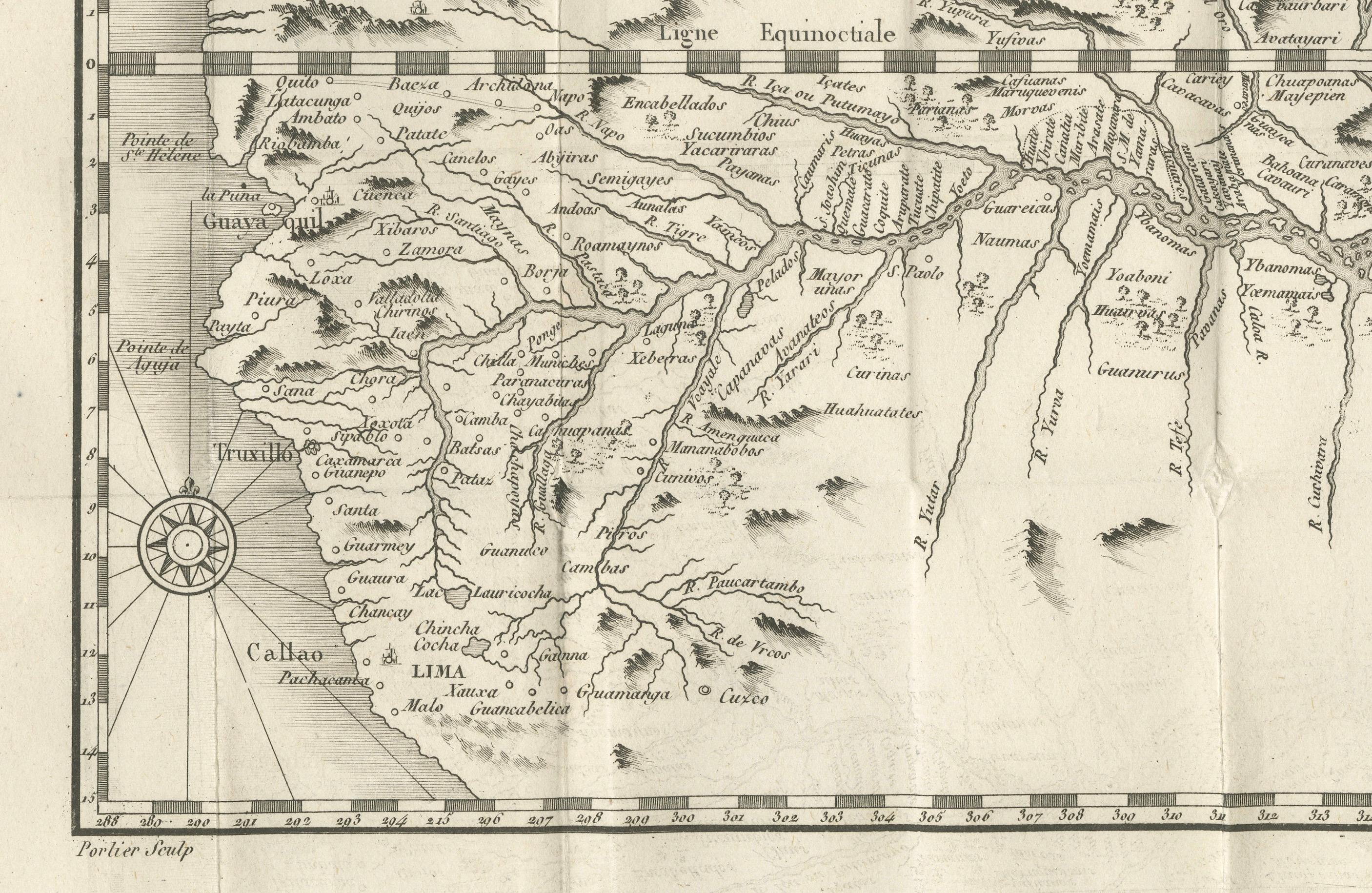
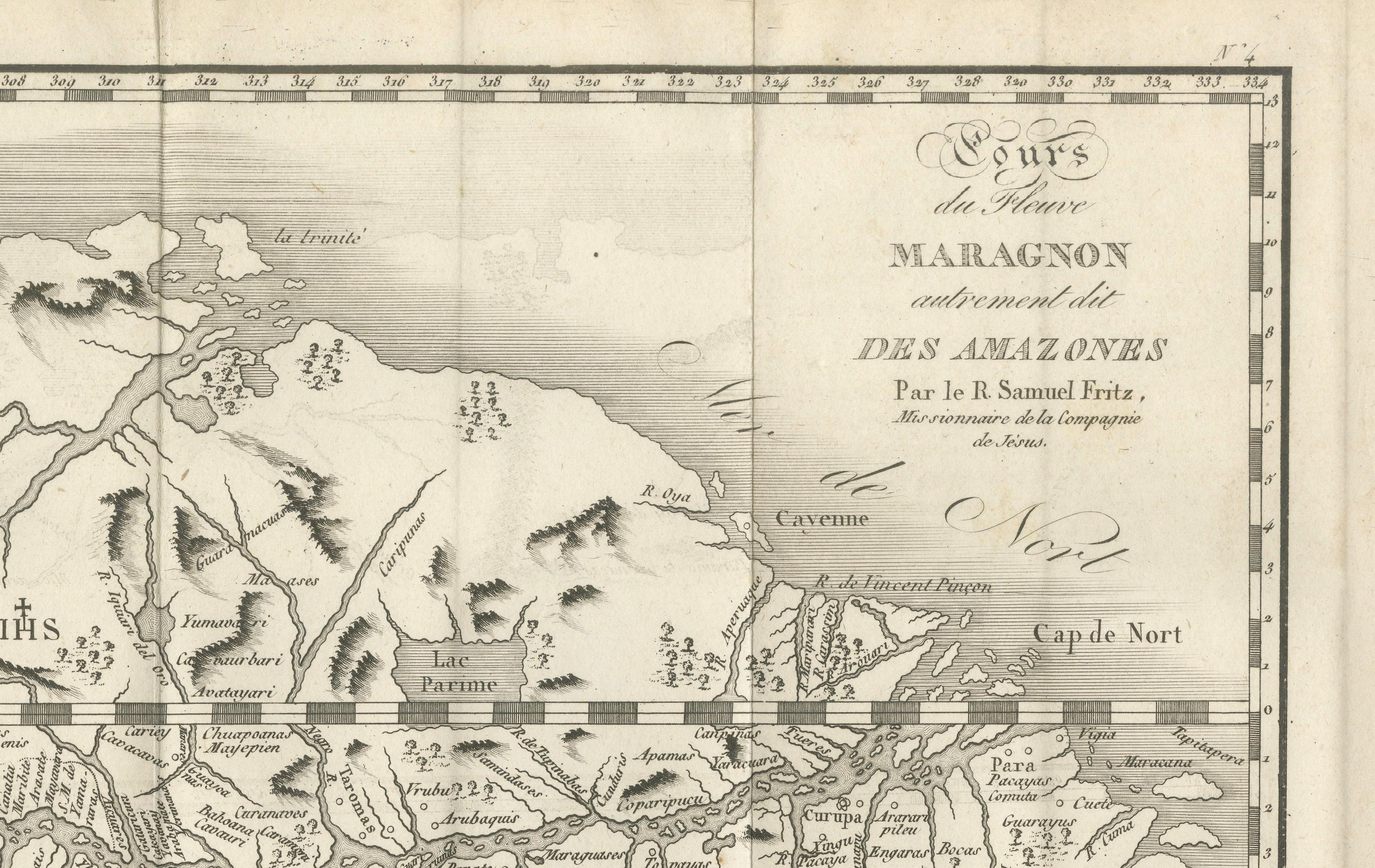
Map of the Amazon River – “Cours du Fleuve Maragnon autrement dit des Amazones”, c.1760
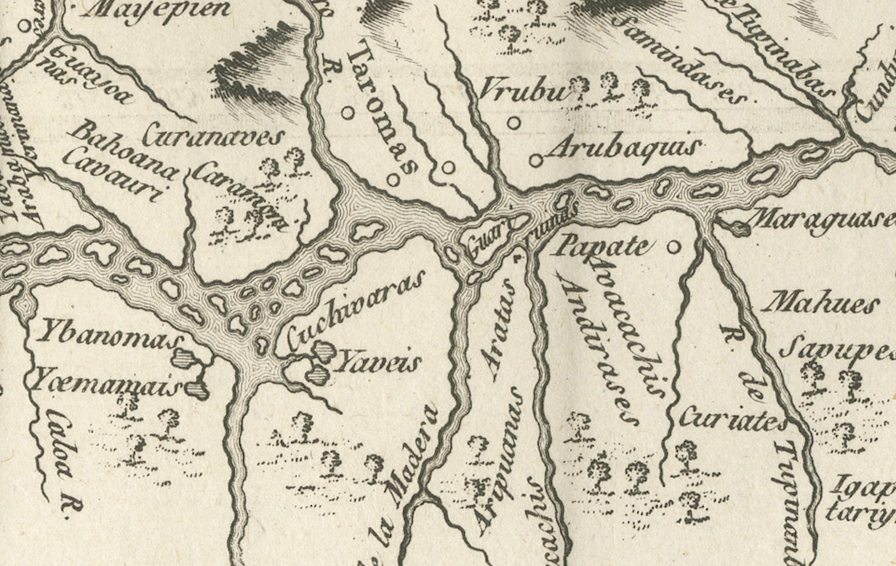
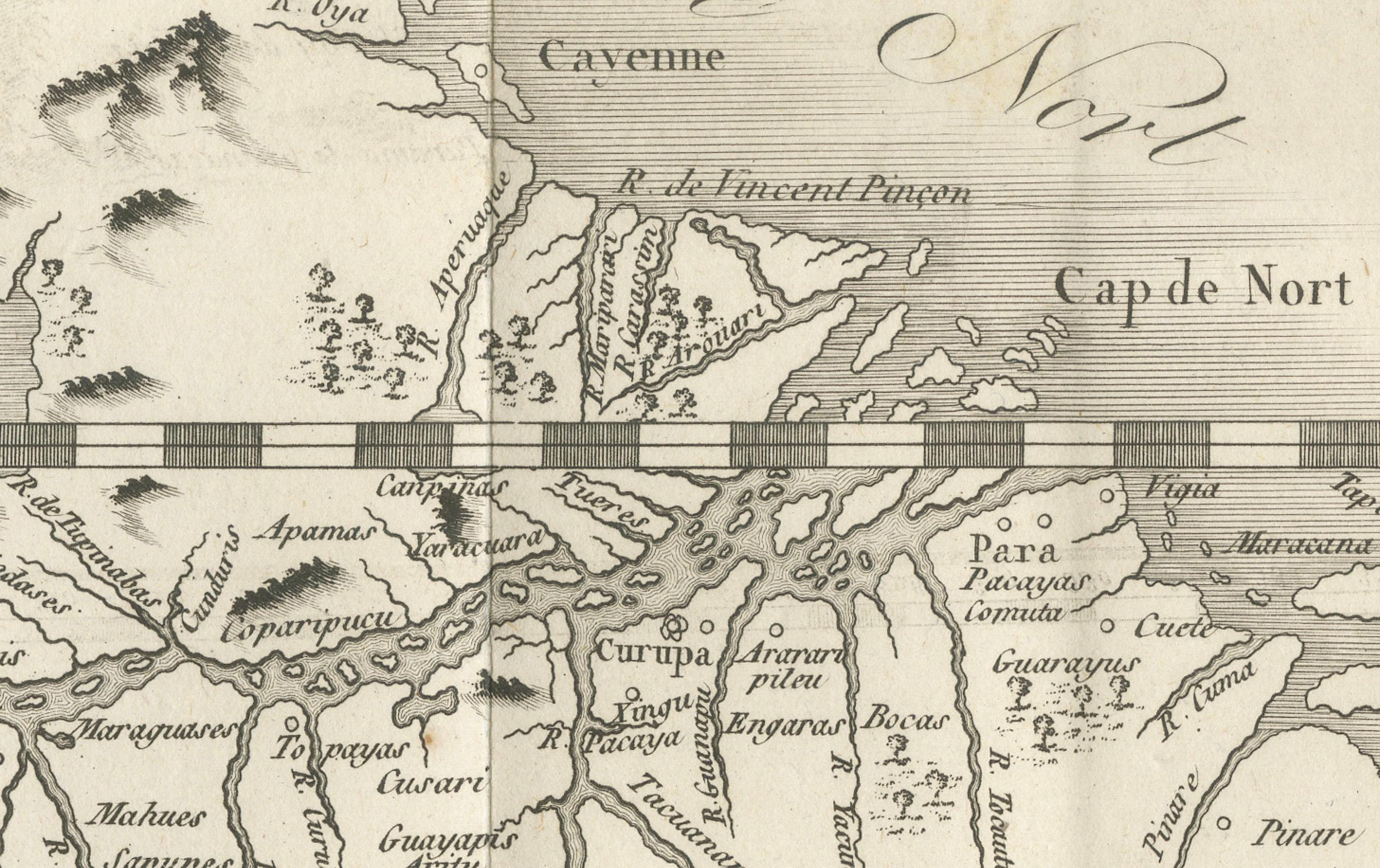
This 18th-century copperplate map, titled Cours du Fleuve Maragnon autrement dit des Amazones, depicts the course of the Amazon River from its sources in the Andes to its wide delta on the Atlantic coast. Based on the work of Father Samuel Fritz, a Jesuit missionary and cartographer who spent decades in the Amazon basin, the map provides a detailed representation of the river’s extensive tributary network and surrounding geography.
The map shows the river originating in the highlands near Quito and flowing eastward through dense rainforest before reaching the Atlantic Ocean near the Cap de Nord. Key tributaries, towns, and indigenous territories are marked along the route, with mountain ranges and other geographical features indicated pictorially. Settlements such as Quito, Lima, Truxillo, and Cuzco are labeled, reflecting the colonial centers of Spanish South America at the time.
A large compass rose decorates the lower left corner, and the Equator (*Ligne Équinoxiale*) is marked, emphasizing the river’s position in the tropics. The work’s cartographic precision reflects Fritz’s extensive travels and surveys, which corrected many earlier misconceptions about the river’s course and size.
Engraved by Porlier (Porlier Sculp.), the plate is marked “Tome 25, N° 22” in the upper corners, indicating its inclusion in a large multi-volume series documenting geography and exploration. The map is both a valuable historical document of Jesuit missionary cartography and an important visual record of the Amazon in the 18th century.
Condition: Very good for age, with folds as issued. Minor toning and faint spotting in margins. Strong plate impression with fine engraved detail.
Framing tips: A dark or walnut-stained frame with an ivory mount will complement the aged paper and precise linework. This map pairs well with other 18th-century South American or river charts for thematic display.
Technique: Copperplate engraving Maker: Father Samuel Fritz (source), engraved by A. Porlier, French school, c.1760