About this sheet
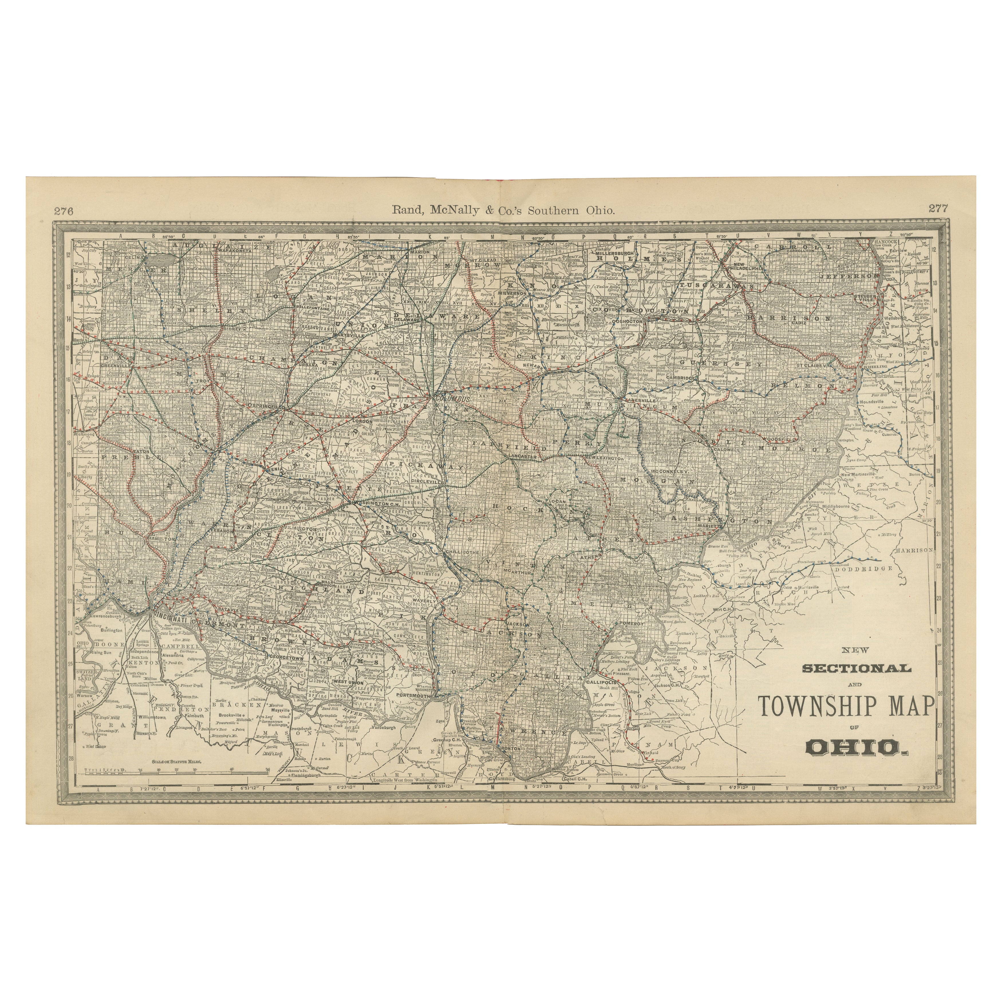
Antique Map of Southern Ohio – The Buckeye State with Railroads & Townships, 1888
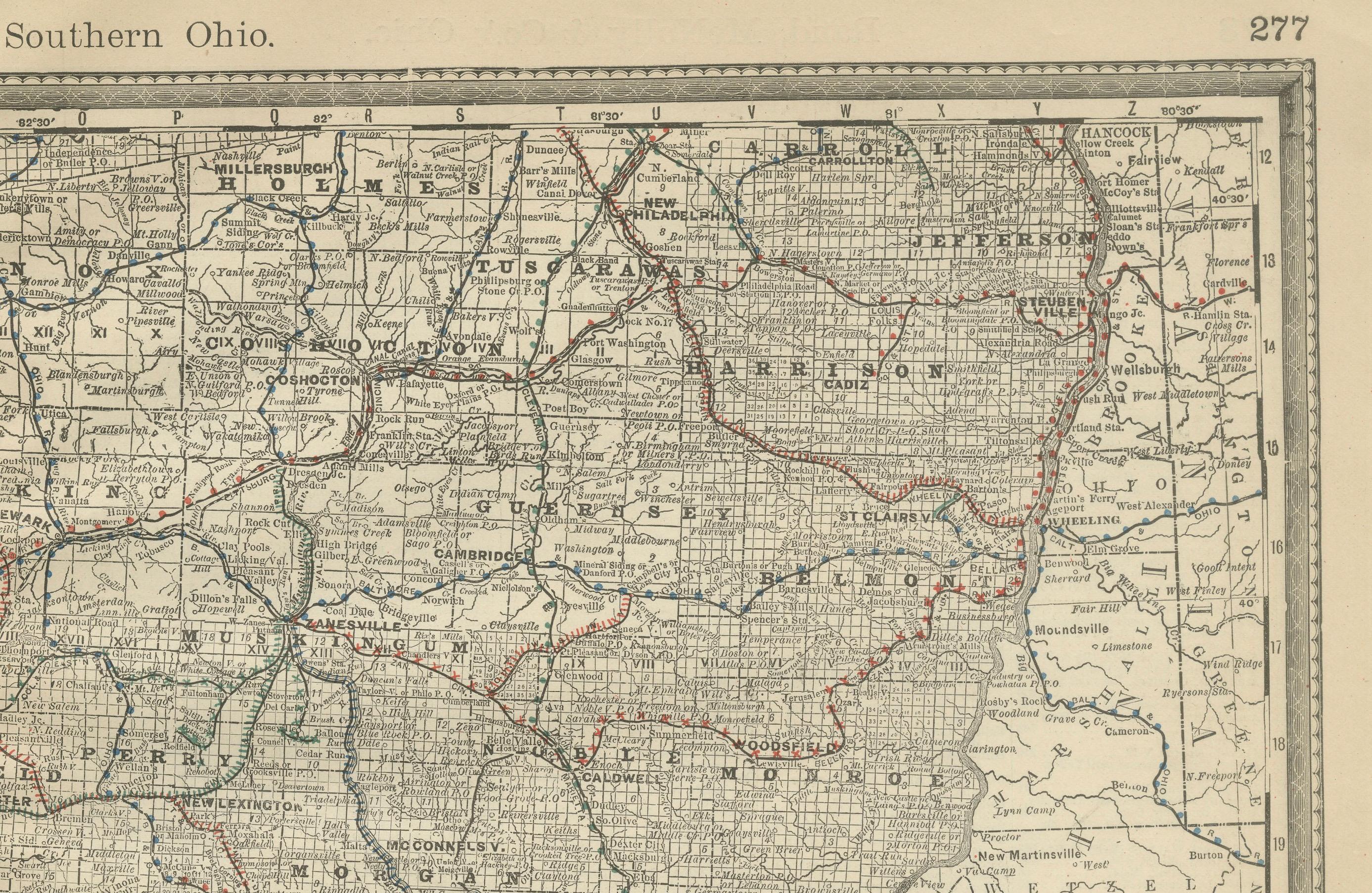
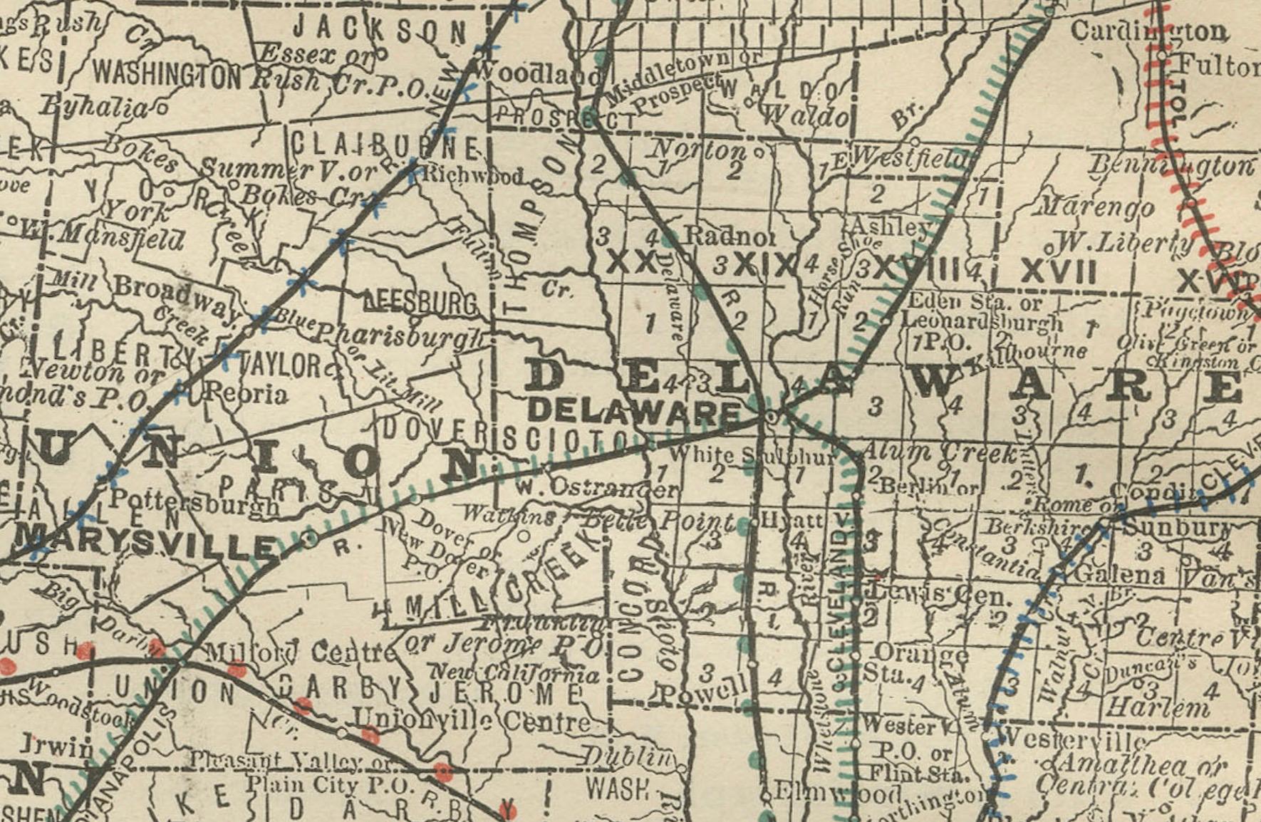
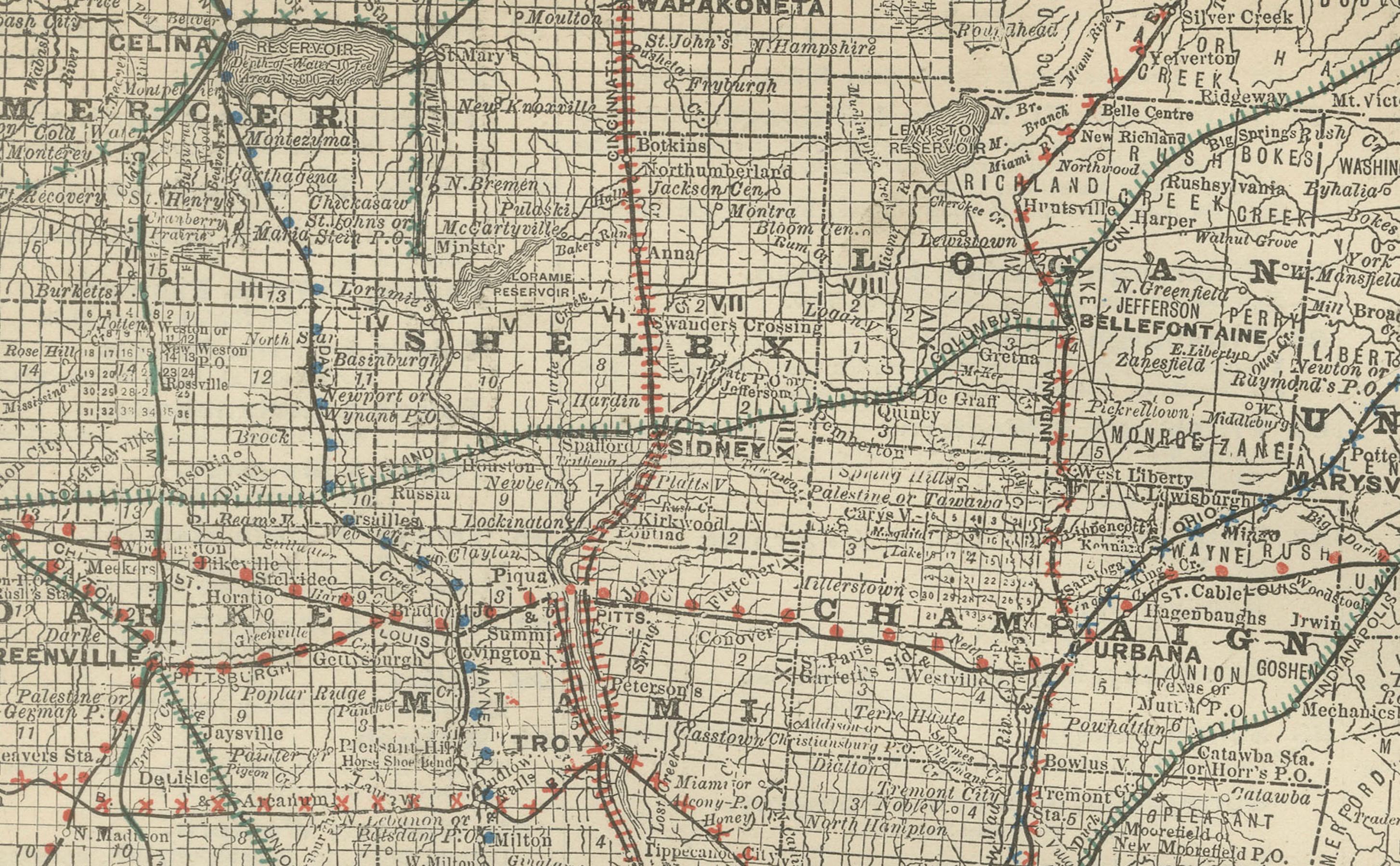
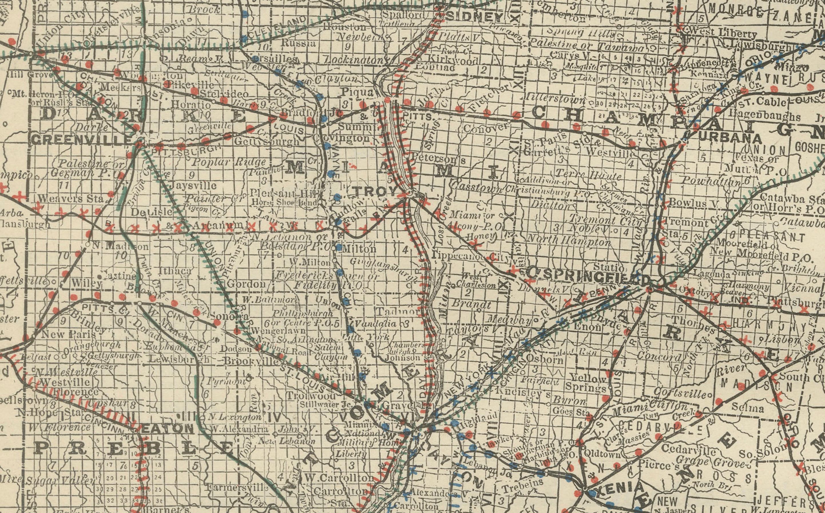
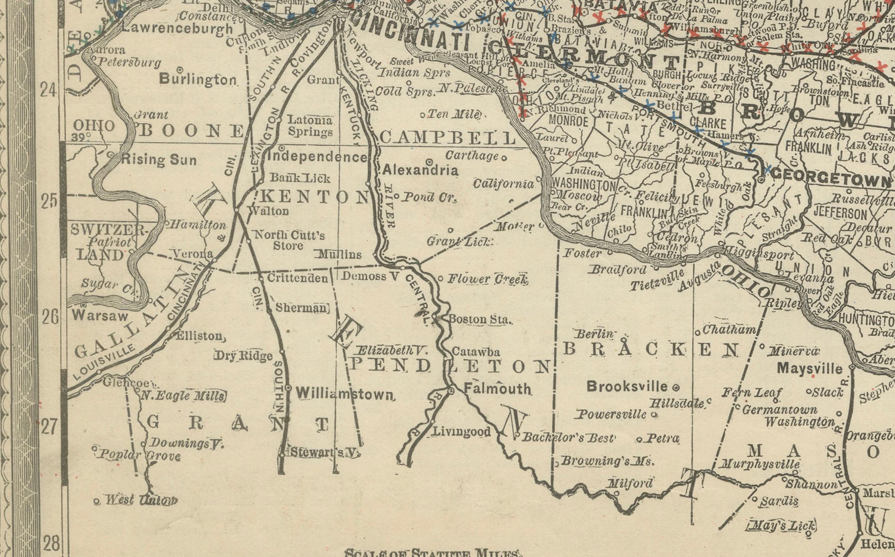
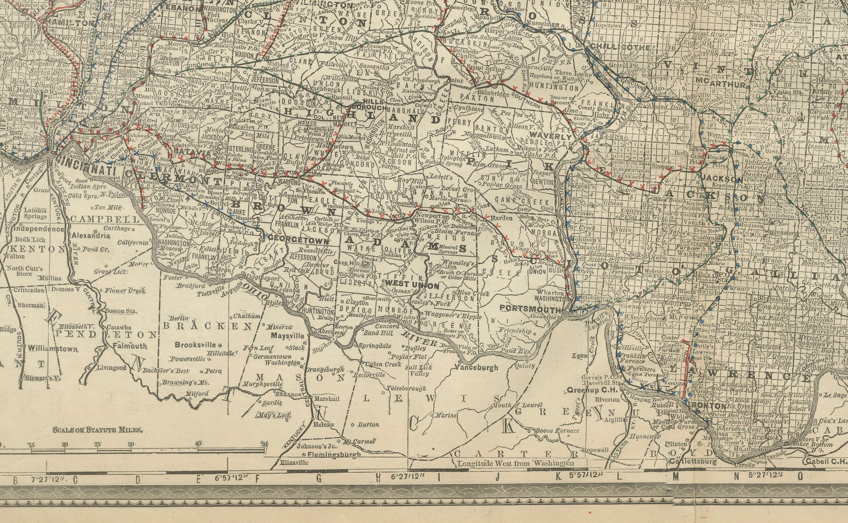
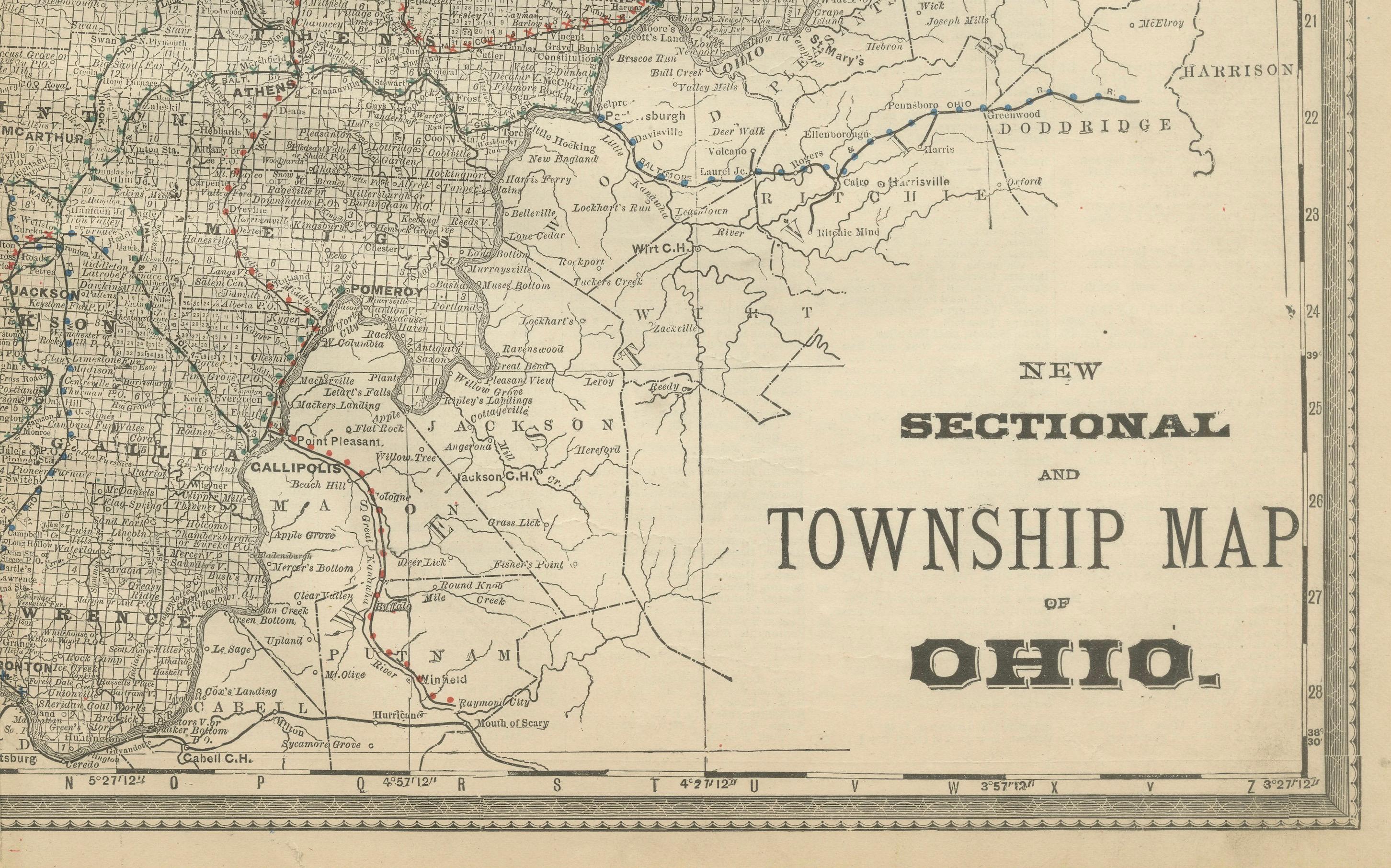
This antique engraved map of Southern Ohio, published in 1888 by Rand, McNally & Co. in Chicago for their *Improved Indexed Business Atlas and Shippers Guide*, provides a richly detailed view of the lower half of “The Buckeye State” during the late 19th century. The map covers the counties, townships, towns, rivers, and the dense railroad network that shaped the region’s economic growth.
Cincinnati appears prominently along the Ohio River, shown as a major urban and commercial hub with numerous railroad lines converging upon the city. It was at this time one of the largest and most prosperous cities in the Midwest, known for its industry, trade, and vibrant river traffic. Columbus, the state capital, is also featured with extensive rail connections spreading in all directions, underscoring its central role in Ohio’s development. Dayton, Springfield, and other growing cities highlight the mixture of agriculture, industry, and transportation that characterized this part of the state.
The Ohio River, forming the southern boundary, is depicted in fine engraved detail, emphasizing its importance as a natural transportation artery linking Ohio to Kentucky, West Virginia, and the broader Mississippi River system. The map also shows numerous smaller towns and county seats such as Portsmouth, Gallipolis, Chillicothe, and Marietta, each with their own historical importance in Ohio’s settlement and expansion.
Railroads are marked in red and blue, weaving across the landscape with impressive density. Lines such as the Baltimore & Ohio, the Cincinnati Southern, and the Cleveland, Columbus, Cincinnati & Indianapolis Railroad reveal how the state’s economy was powered by both river and rail. These routes not only facilitated trade and passenger movement but also connected rural counties with major industrial and political centers.
Historically, Southern Ohio was a place of great significance. It was a critical region in the state’s agricultural production and industrial development, and the Ohio River towns played a role in both westward expansion and the history of the Underground Railroad. This map captures the region at a moment of remarkable growth and transformation.
Condition summary: Good condition overall. Light age toning consistent with its age, with faint foxing in margins. Original fold lines as issued. Paper is strong with crisp engraved detail, no major tears or repairs.
Framing tips: This map presents beautifully on its own. A walnut or cherry frame enhances its antique warmth, while a black frame with ivory matting provides a cleaner, more formal look. A muted blue mat accent can highlight the importance of the Ohio River that defines the region.
Technique: Engraving
Maker: Rand, McNally & Co., Chicago, 1888