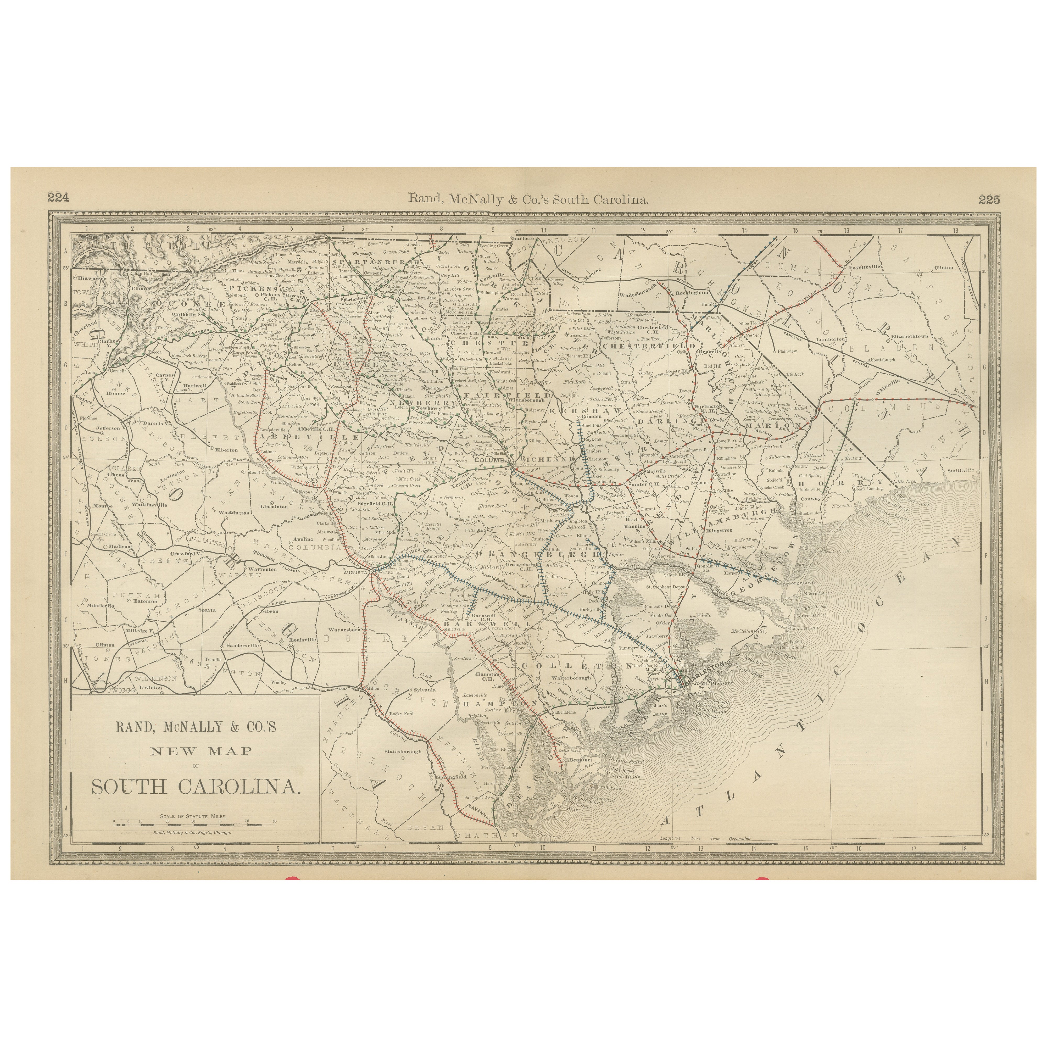
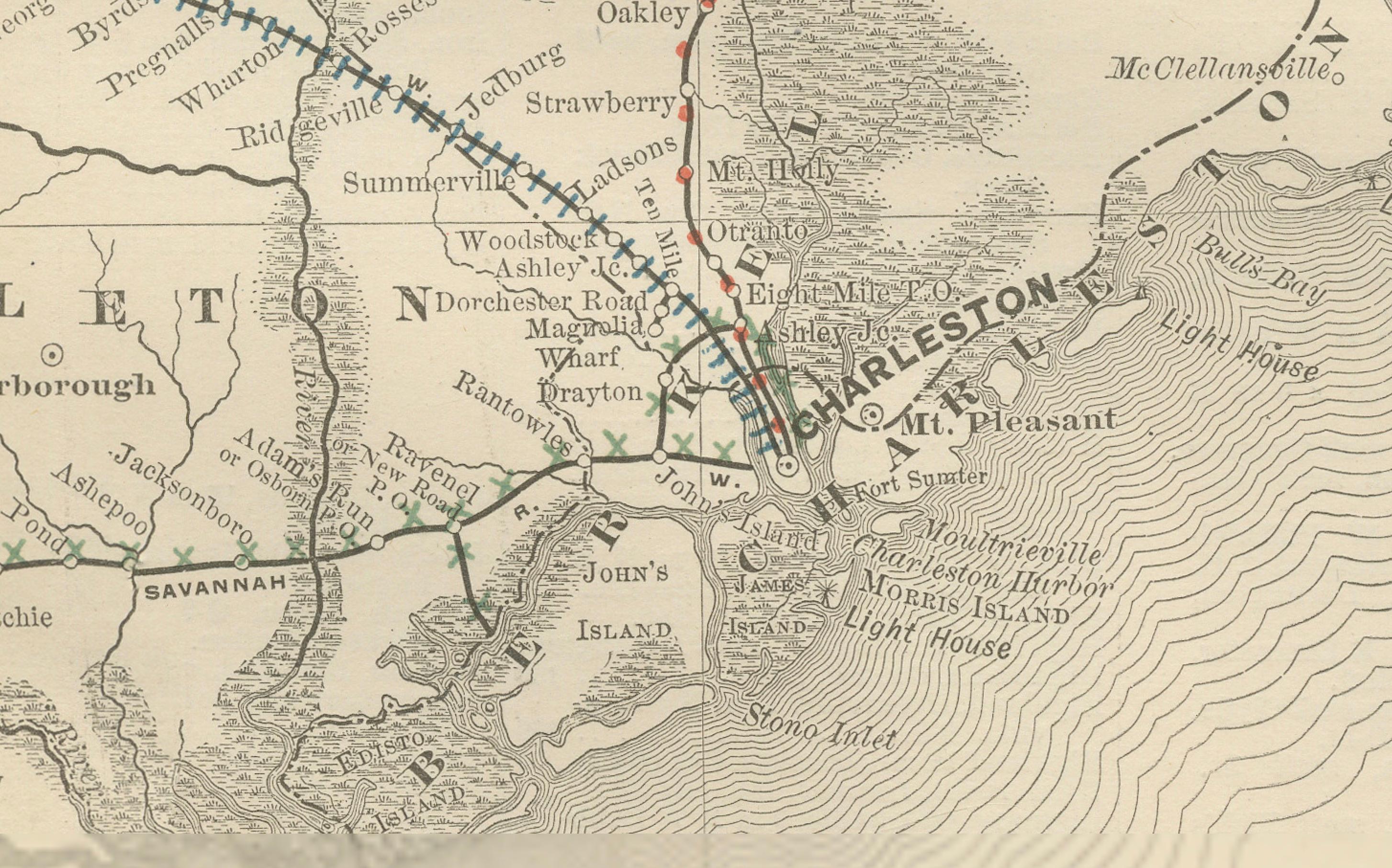
South Carolina Antique Map c.1888 – The Palmetto State, Railroads & Counties
€ 460
One of a kind: this is the sheet in the photographs. Ships from Langweer, the Netherlands.
Date
1888
Sheet size
36 × 52.5 cm (14.2 × 20.7 in)
Condition
Good
Reference
BG-12794-26
Condition
Good condition with light overall age toning. Original center fold as issued with minor darkening along the crease. Plate mark visible. Margins clean with slight handling wear. No tears or major flaws.
About this sheet
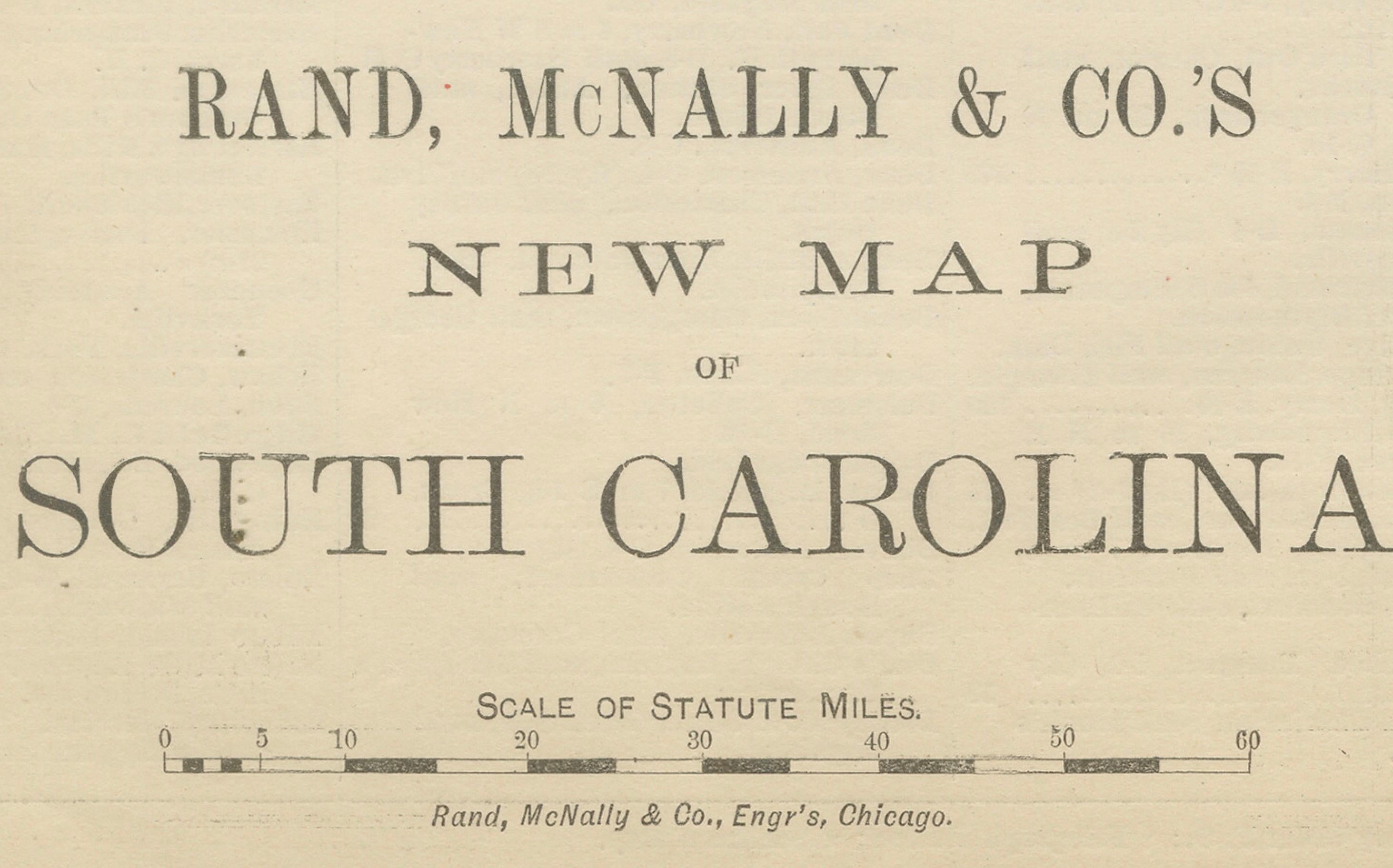
Antique Map of South Carolina – Rand McNally, circa 1888
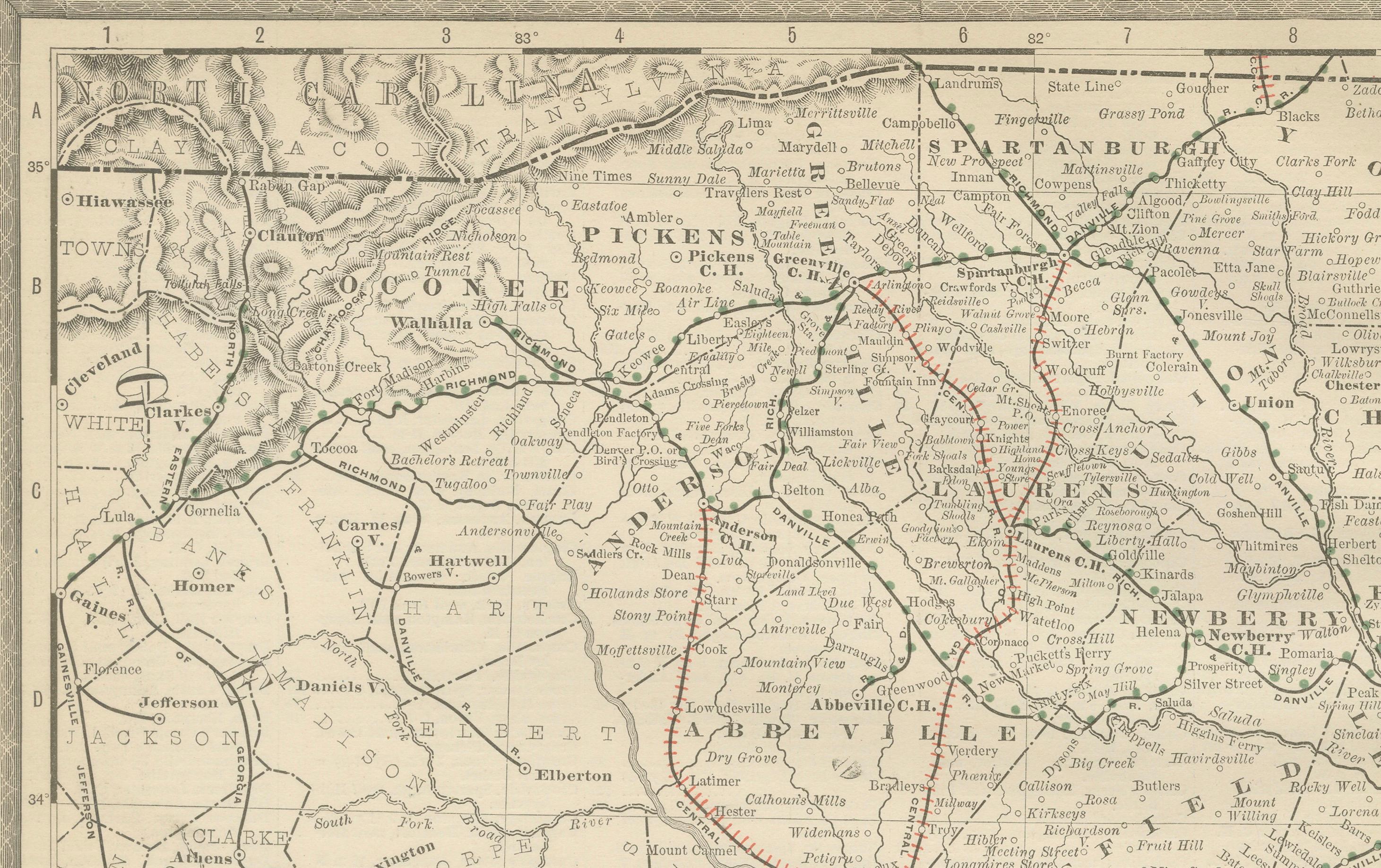
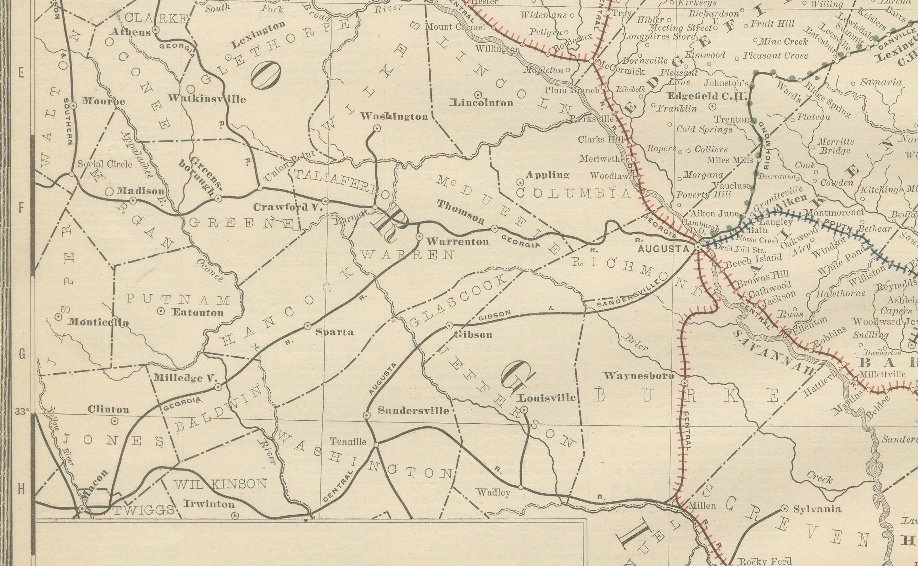
This antique map of South Carolina was published by Rand, McNally & Co. around 1888. Part of their celebrated late 19th-century atlas series, the map offers a detailed view of the state at a time of economic recovery and railroad expansion in the post-Civil War era.
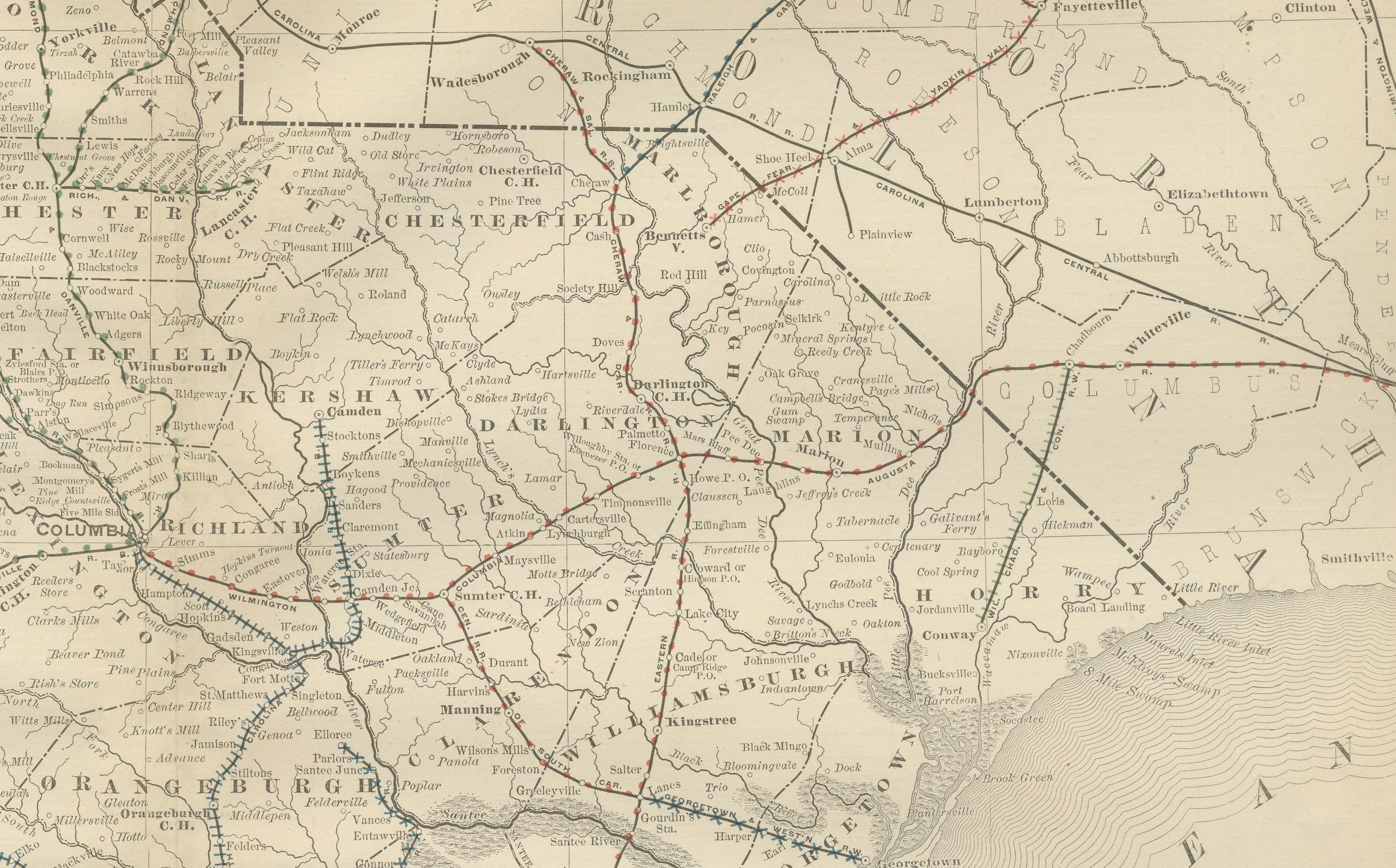
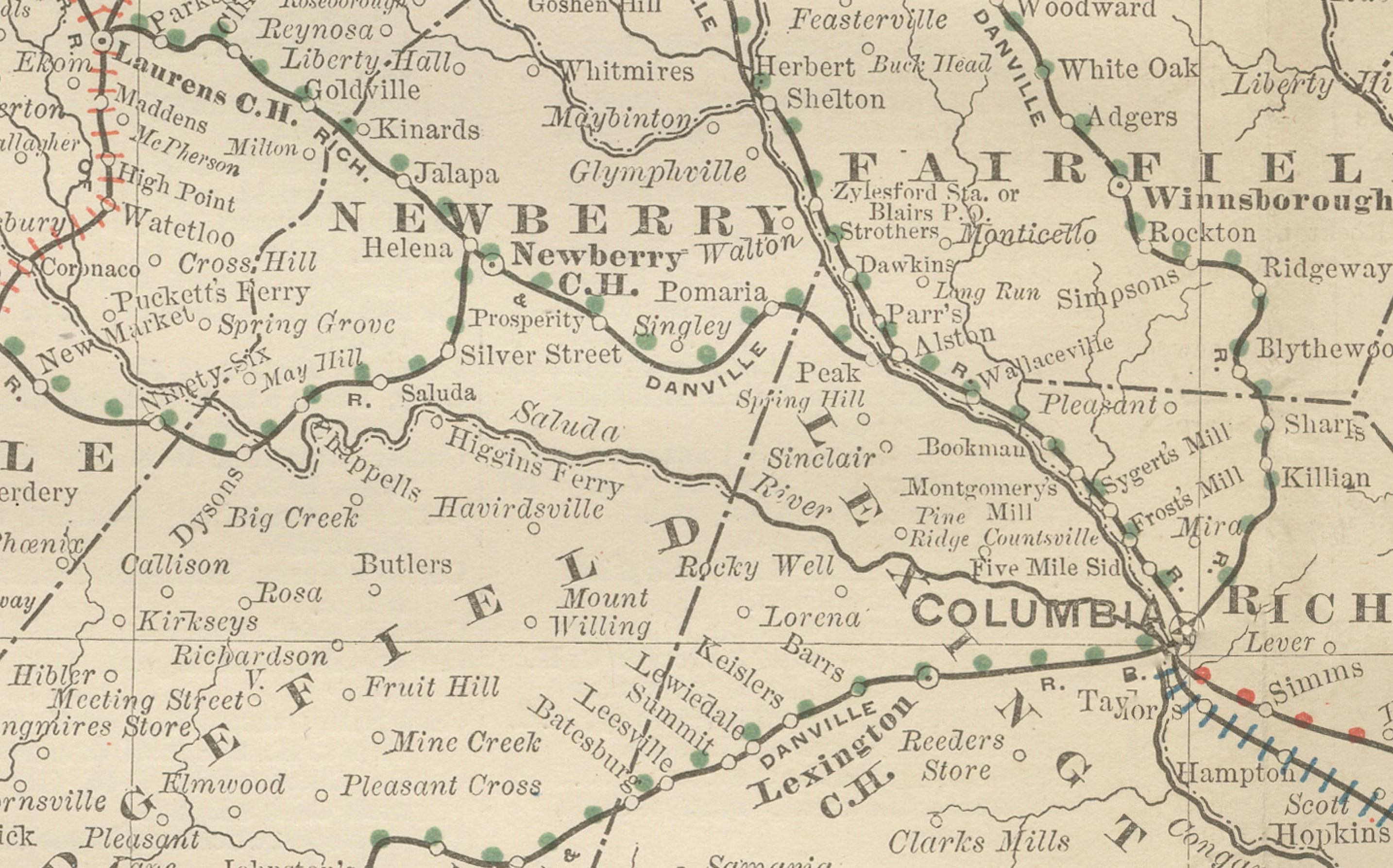
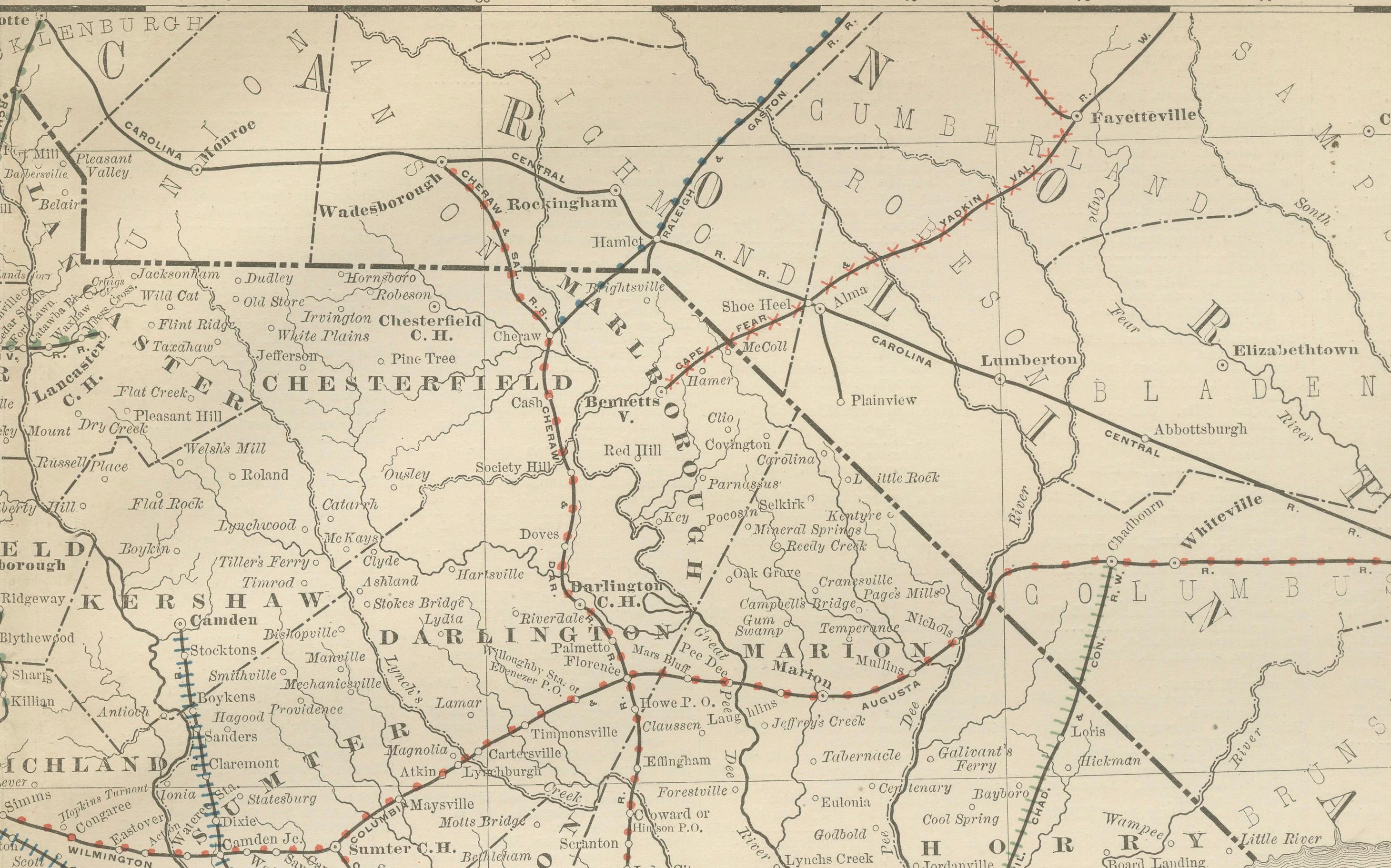
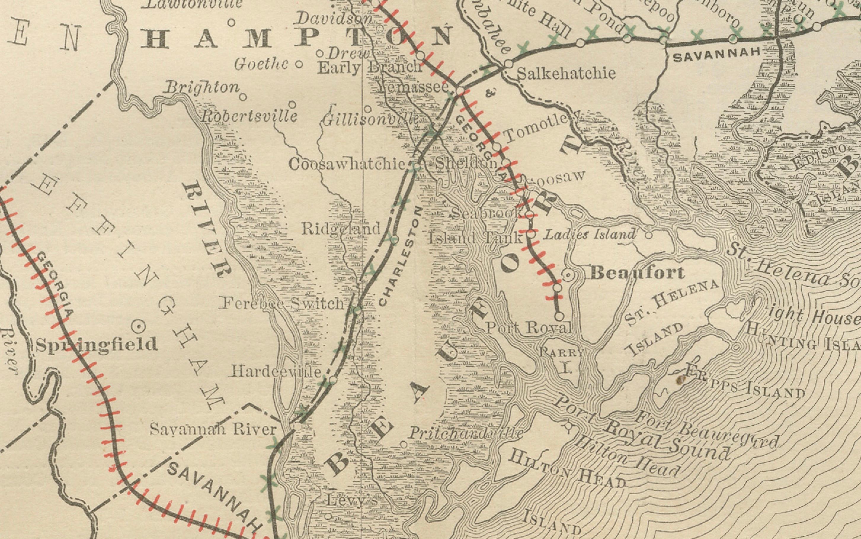
The map highlights South Carolina’s counties with fine engraving, clearly marking towns, rivers, and transport routes. Major cities such as Charleston, Columbia, Greenville, and Spartanburg are shown with strong clarity. Along the coast, Charleston and Beaufort appear as important ports, while the interior counties reflect the growing prominence of agriculture and rail connections.
Railroads, the backbone of the state’s transportation and economic growth during this period, are carefully depicted in red and blue lines, showing the intricate web of connections from Charleston northward into North Carolina and westward toward Georgia. The Atlantic coastline is engraved with subtle wave patterns, enhancing the map’s visual appeal.
Rand McNally’s late 19th-century maps are known for their accuracy and readability, and this example provides a rich portrait of South Carolina in a transitional moment of its history. It offers collectors of Southern history, cartography, or railroad memorabilia a valuable record of the era.
Condition report: Good condition with light overall age toning. Original center fold as issued with minor darkening along the crease. Plate mark visible. Margins clean with slight handling wear. No tears or major flaws.
Framing tips: A warm oak or walnut frame paired with a cream mat enhances the map’s classic engraving. For coastal emphasis, a double mat with ivory outer and light blue inner layer brings out the Atlantic setting and makes Charleston and the coastline stand out.
Technique: Lithograph with original outline color Maker: Rand, McNally & Co., Chicago, circa 1888