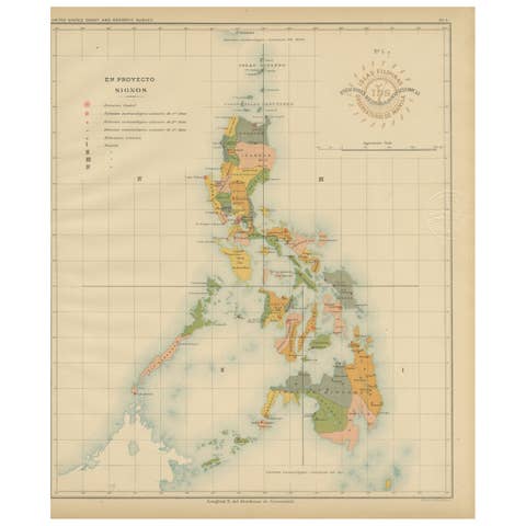
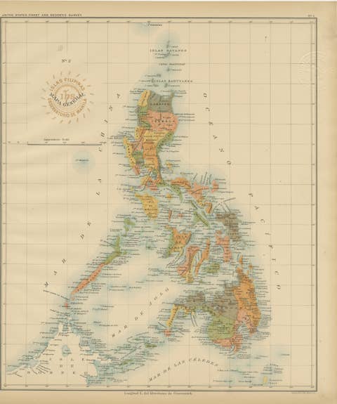
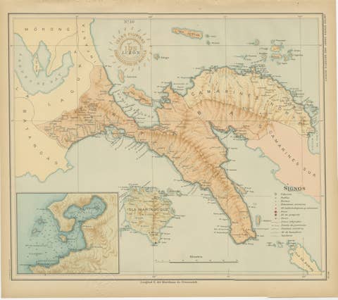
Ethnographic Map of the Philippine Islands – Observatorio de Manila, 1899
€ 460
One of a kind: this is the sheet in the photographs. Ships from Langweer, the Netherlands.
Date
1899
Sheet size
37 × 32.5 cm (14.6 × 12.8 in)
Condition
Excellent
Reference
BG-12176-3
Condition
with original color, minimal toning, and clear margins. Both embossed and inked institutional seals are clearly visible.
About this sheet
Ethnographic Map of the Philippine Islands – Observatorio de Manila, 1899
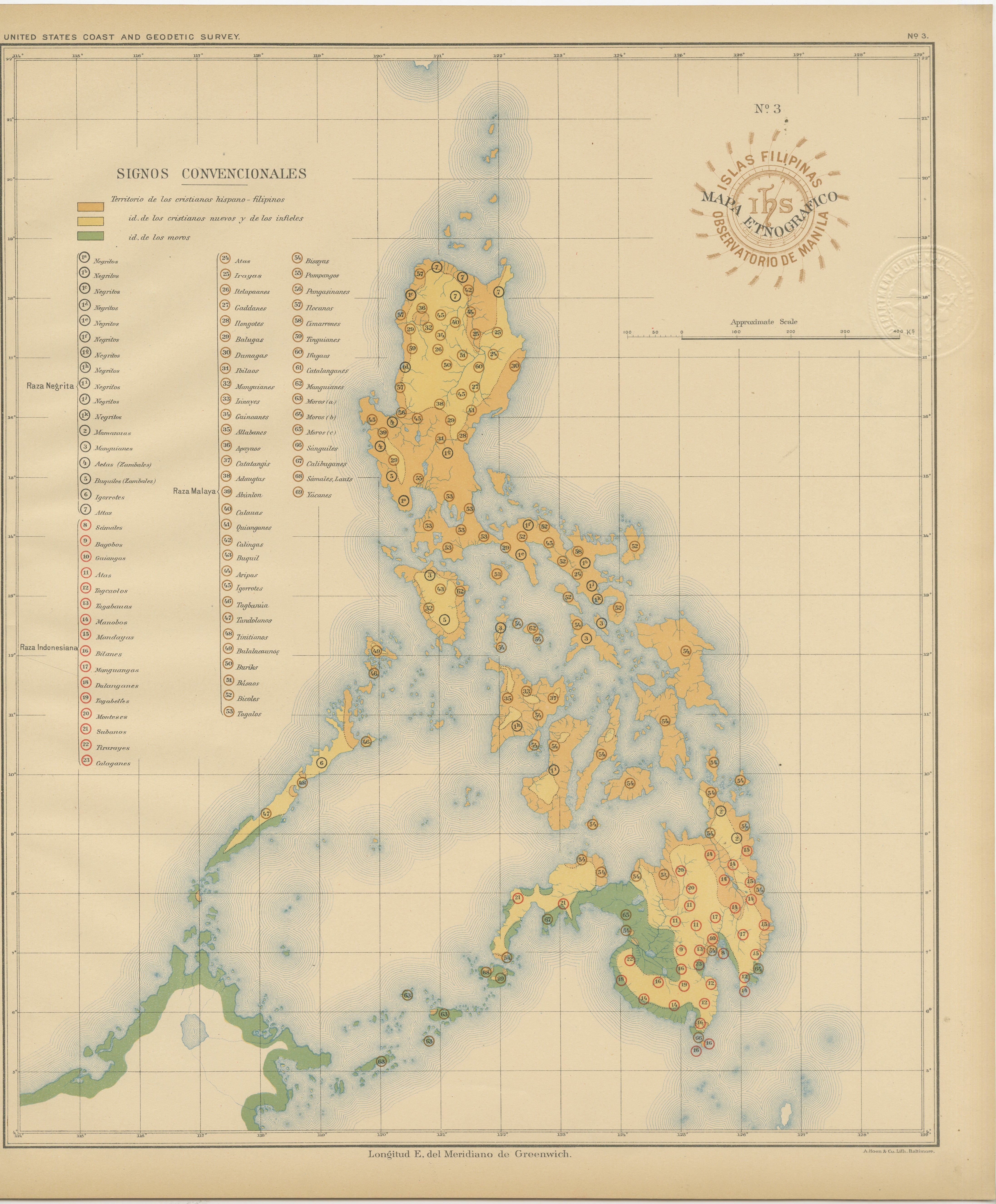
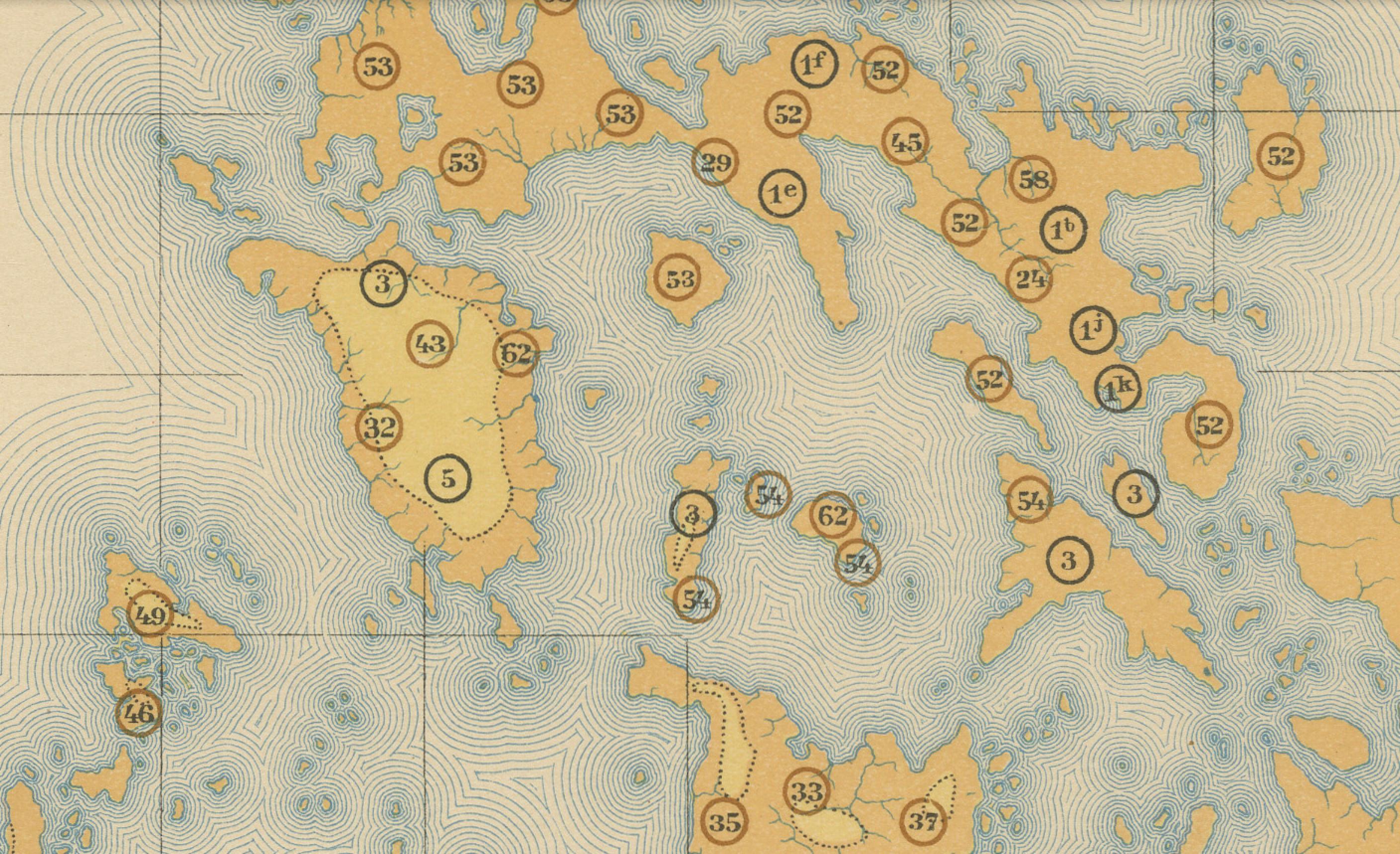
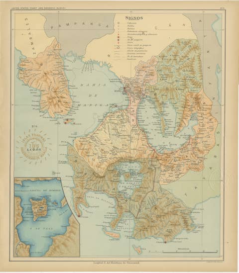
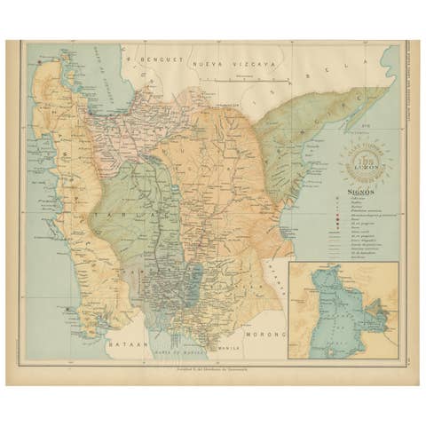
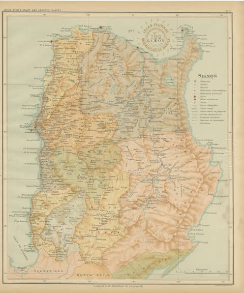
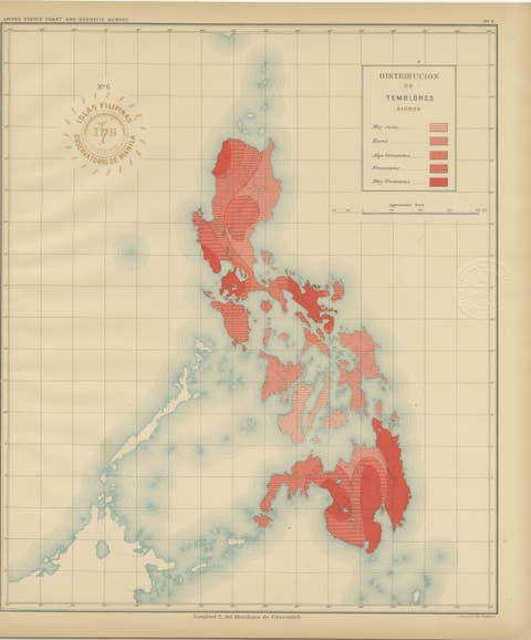
This rare and fascinating chromolithographed map titled “Islas Filipinas – Mapa Etnográfico” was created in 1899 under the direction of Rev. José Algué, S.J., Director of the Observatorio de Manila. Issued as Plate No. 3 from the Atlas de Filipinas, it represents one of the earliest scientific attempts to classify and illustrate the complex ethnographic composition of the Philippine Archipelago.
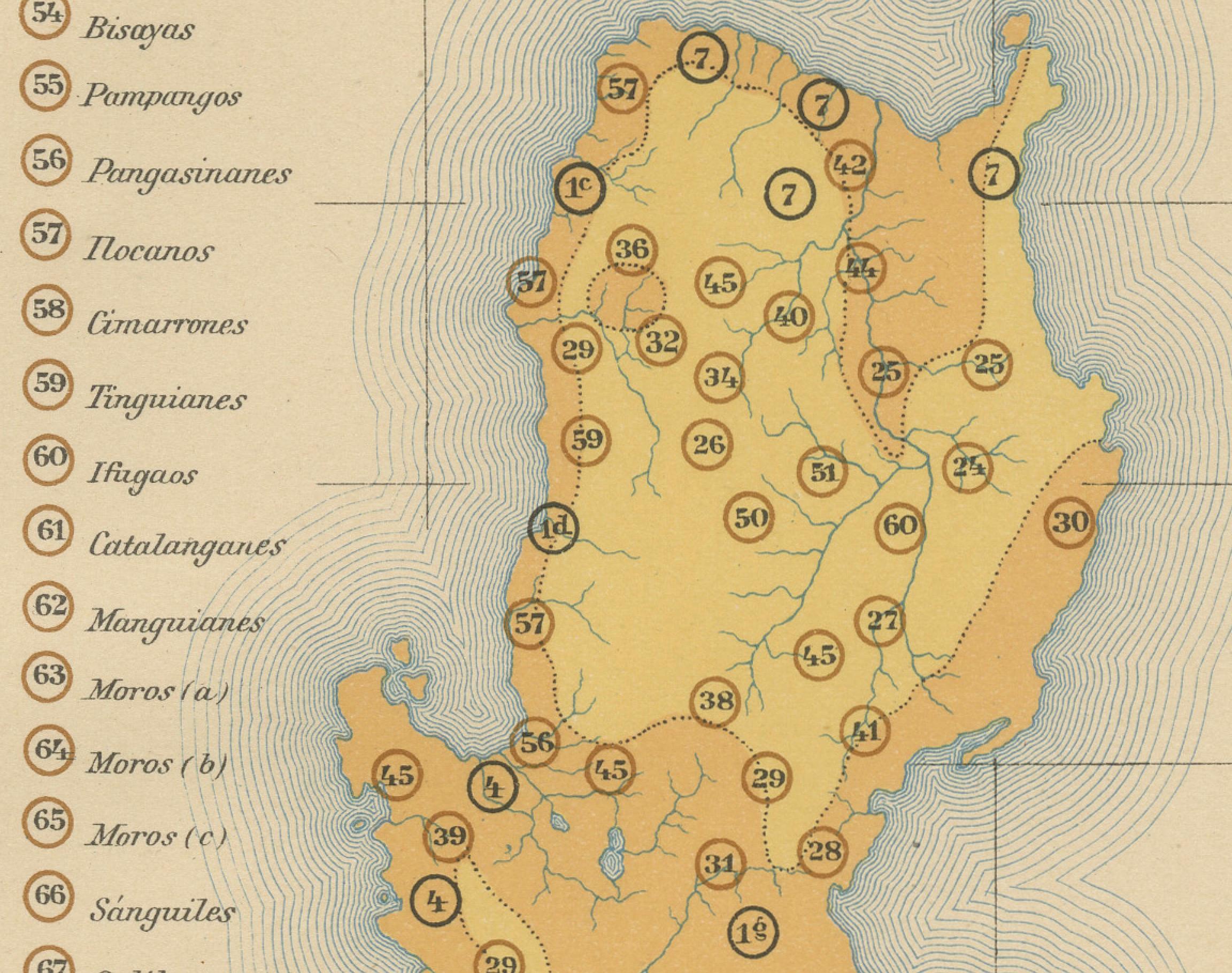
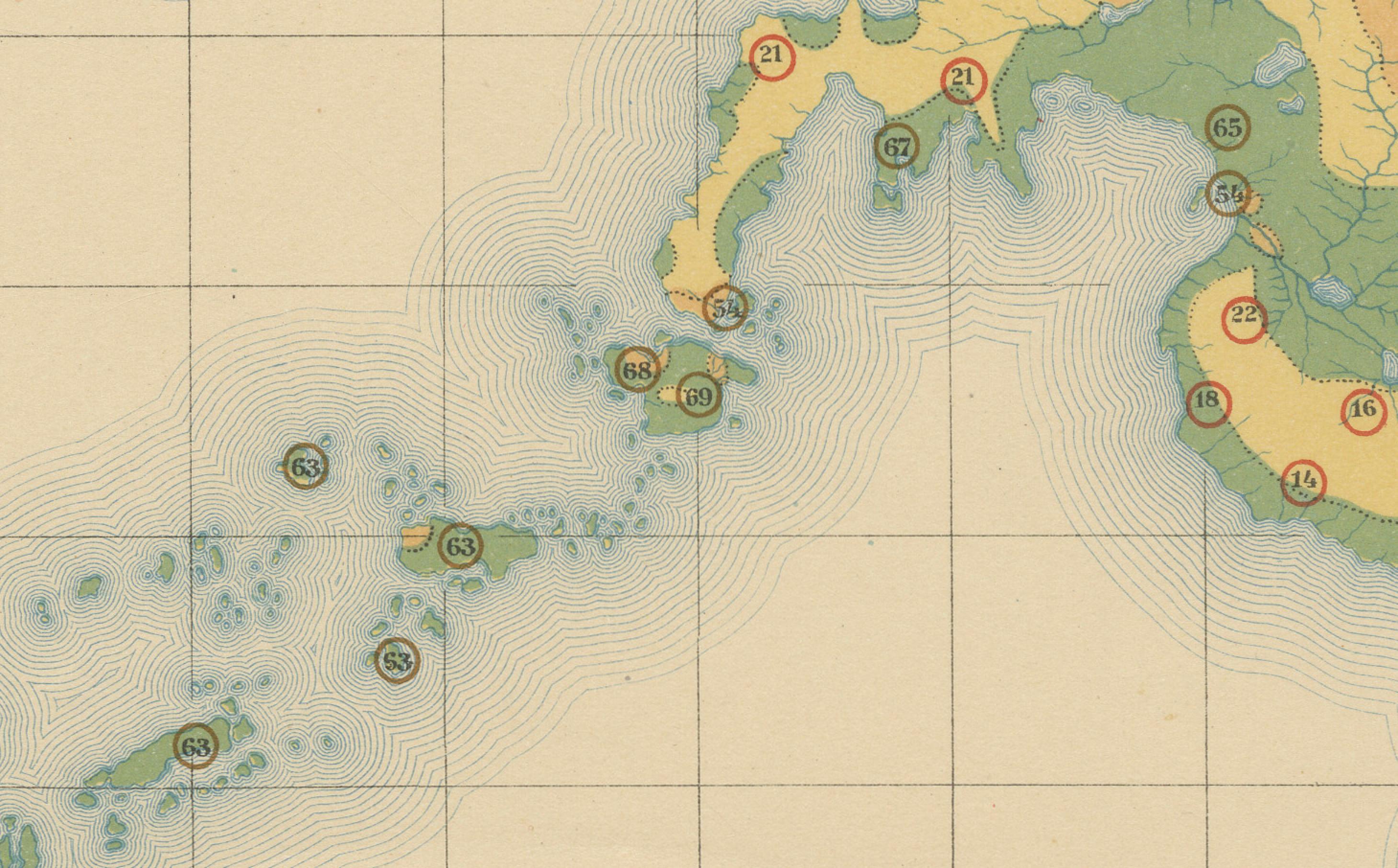
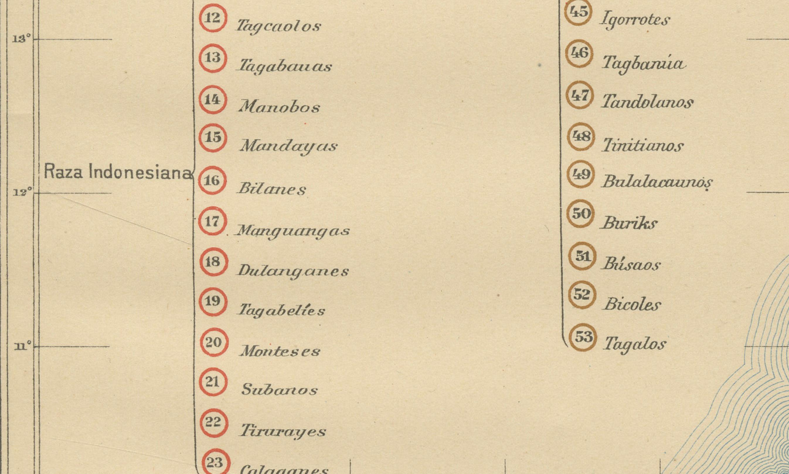
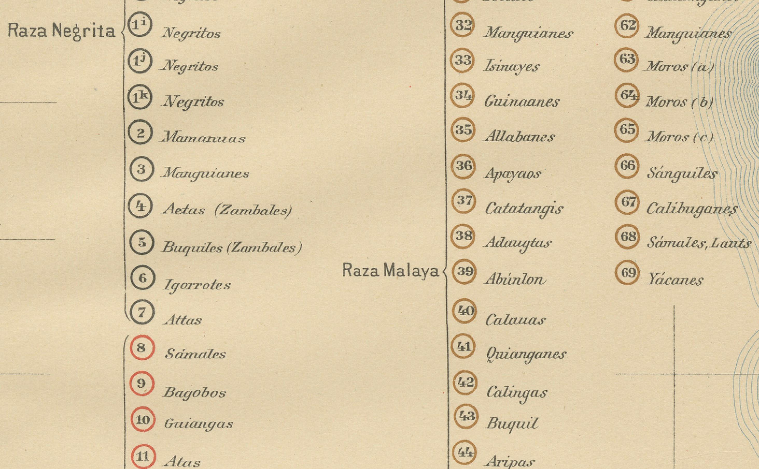
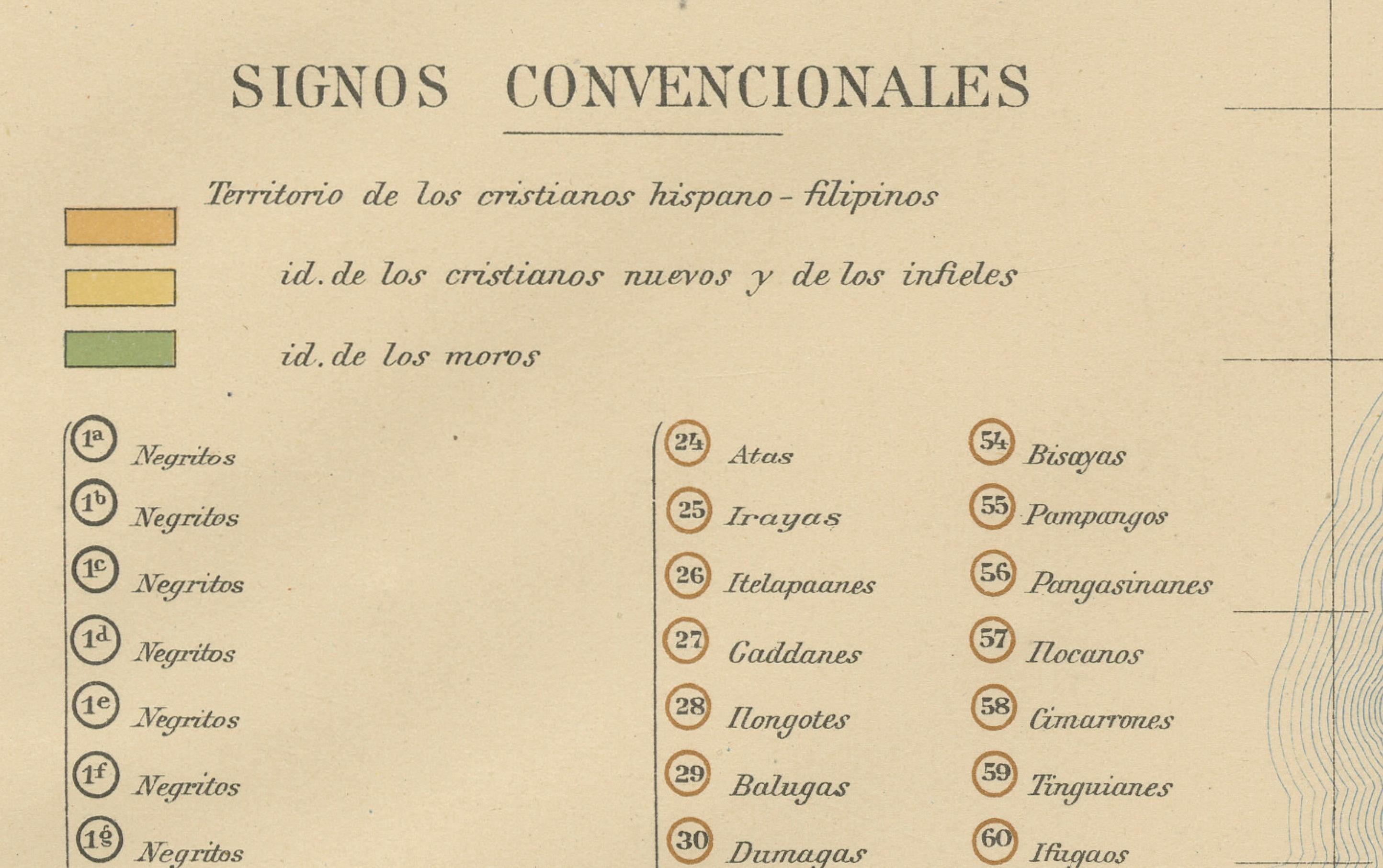
The map divides the islands into various ethnolinguistic groups, marked by symbols explained in the legend at left under the heading “Signos Convencionales.” These categories include Christianized groups such as the Tagalog, Ilocano, and Visayan peoples, alongside non-Christian or indigenous populations labeled as Negrito, Malay, and Indonesian races. Each group is identified by distinctive geometric signs, providing a visual representation of ethnic distribution across the islands at the turn of the 20th century.
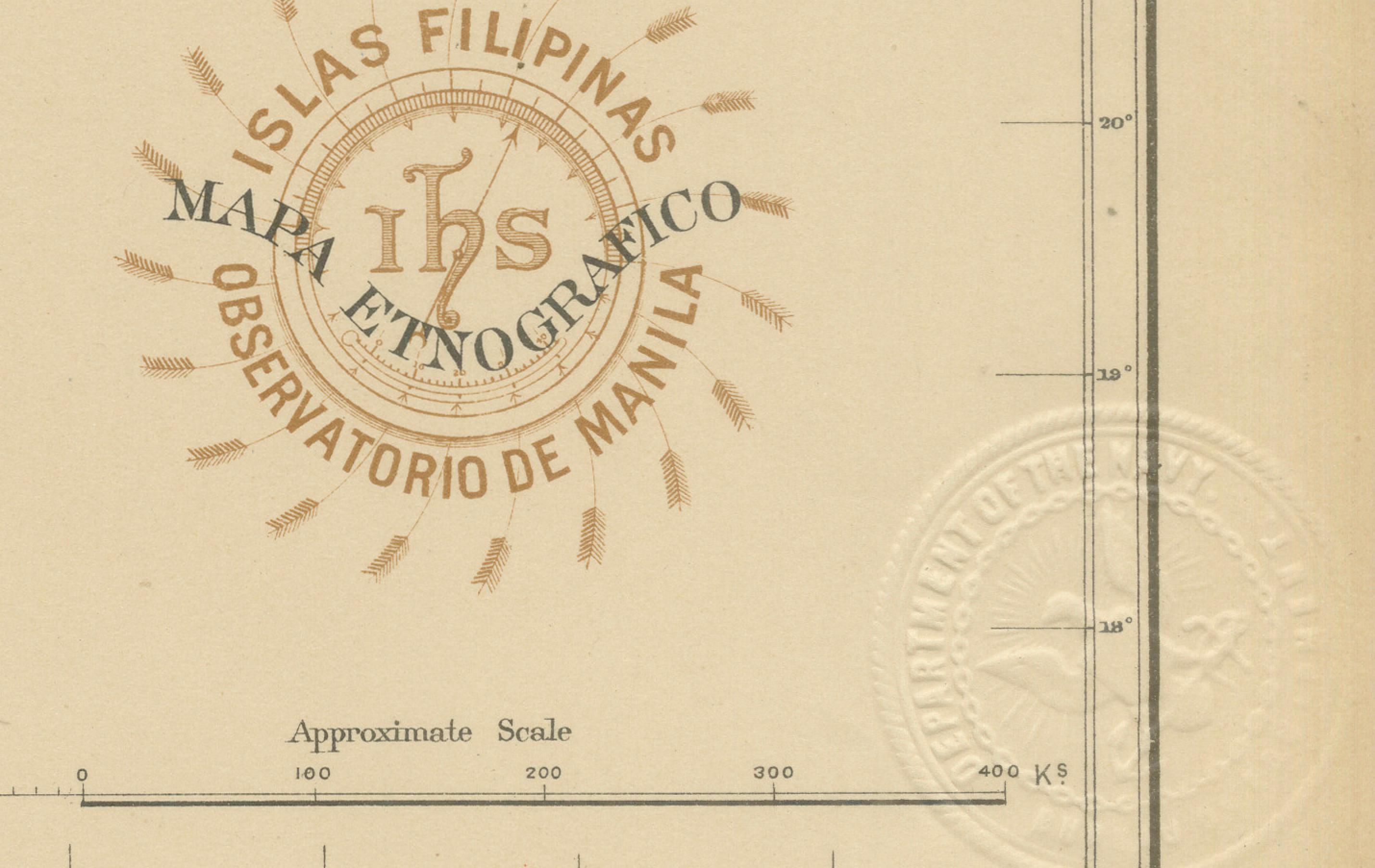
This work reflects the advanced ethnographic and geographical scholarship of the Jesuit scientists at the Observatorio de Manila, combining field data with the latest cartographic techniques. The embossed seal of the U.S. Coast and Geodetic Survey appears in the upper right margin, along with the red ink stamp of the Observatorio de Manila, signifying its official publication during the transition from Spanish to American rule.
As one of the most visually and historically significant maps in the Atlas de Filipinas, it provides invaluable insight into colonial-era perceptions of Philippine ethnic diversity and the scientific ambitions of late 19th-century cartography. The collaboration between Filipino draftsmen and Jesuit scholars resulted in a document of enduring cultural and academic value.
Condition: Excellent, with original color, minimal toning, and clear margins. Both embossed and inked institutional seals are clearly visible.
Framing tips: Best displayed in a dark or walnut wood frame with a soft ivory mat to enhance the pastel coloring and fine ethnographic details.
Technique: Chromolithograph on paper Maker: Rev. José Algué, S.J., Observatorio de Manila, 1899